Elevation of Wise Rd, Clarksville, AR, USA
Location: United States > Arkansas > Johnson County > Spadra Township > Clarksville >
Longitude: -93.461857
Latitude: 35.441819
Elevation: 127m / 417feet
Barometric Pressure: 100KPa
Elevation Map:
Satellite Map:
Related Photos:
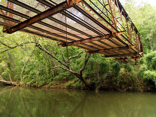
Spadra Creek

Hagarville, AR Country Store
North Street view
Ozarks Fall
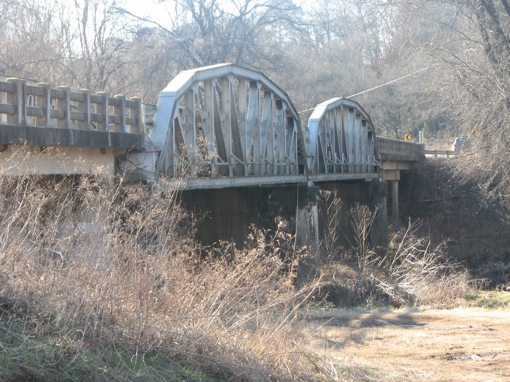
US 64-Horsehead Creek Side View-Close
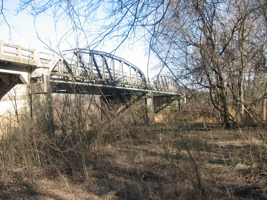
US 64-Horsehead Creek-Side View
So Many Dragons
A new morning — a fresh start

Chasing the sun...
20151007_184203_Richtone(HDR)
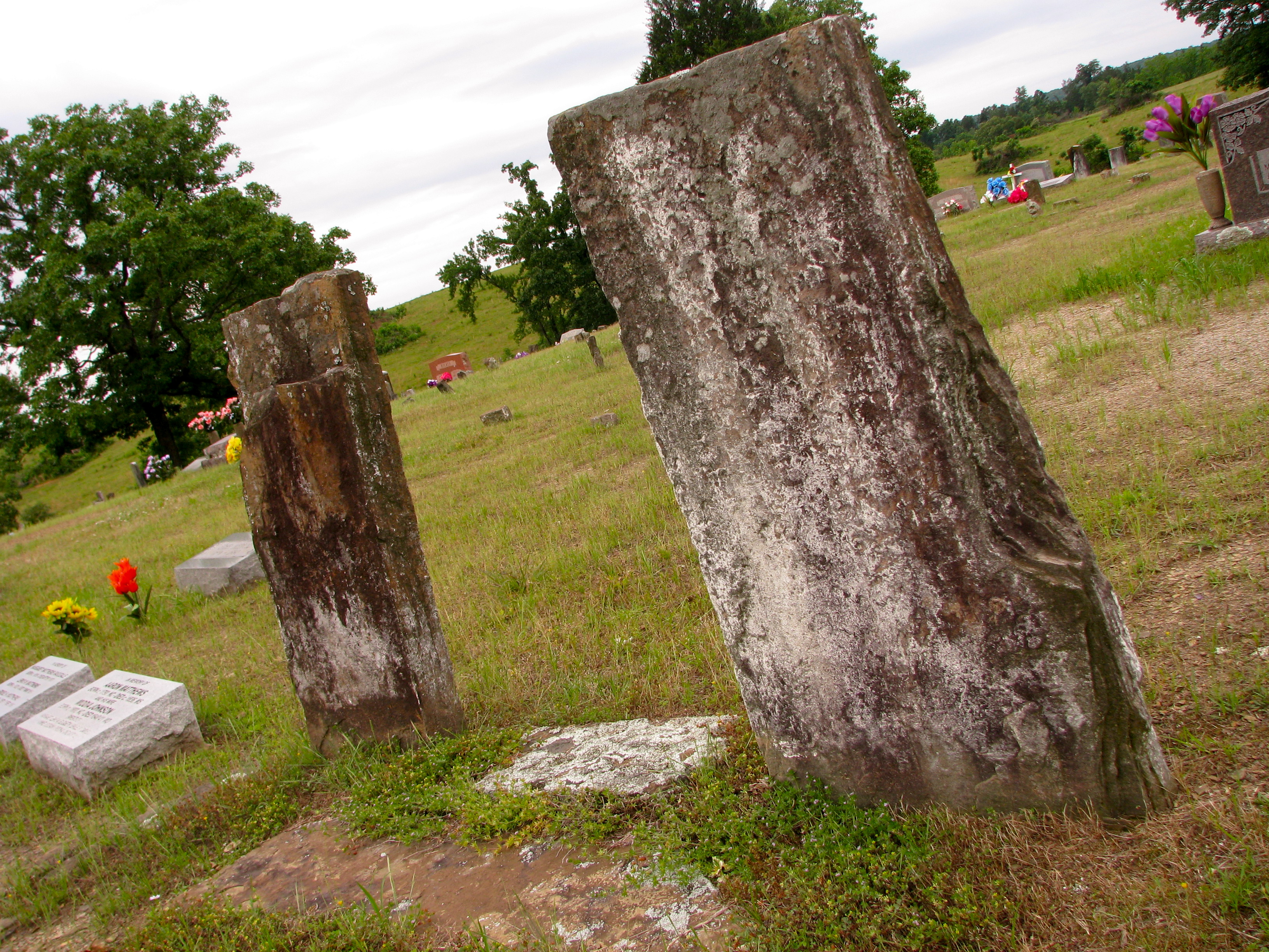
Original Graves of Jacob and Margaret (Garrett) Johnson
Spot of orange (3765a)

Minnow Creek
Hay Field
Topographic Map of Wise Rd, Clarksville, AR, USA
Find elevation by address:

Places near Wise Rd, Clarksville, AR, USA:
Clarksville
Central Street
Central Street
University Of The Ozarks
Co Rd, Clarksville, AR, USA
Spadra Township
422 Rogers Landing Loop
Tokalon Rd, Scranton, AR, USA
Lamar
AR-, Scranton, AR, USA
Co Rd, Lamar, AR, USA
Cane Creek Township
Pittsburg Township
312 E Circle Dr
Co Rd, Lamar, AR, USA
Knoxville
Co Rd, Knoxville, AR, USA
Howell Township
State Hwy, Lamar, AR, USA
Co Rd, London, AR, USA
Recent Searches:
- Elevation of Elwyn Dr, Roanoke Rapids, NC, USA
- Elevation of Congressional Dr, Stevensville, MD, USA
- Elevation of Bellview Rd, McLean, VA, USA
- Elevation of Stage Island Rd, Chatham, MA, USA
- Elevation of Shibuya Scramble Crossing, 21 Udagawacho, Shibuya City, Tokyo -, Japan
- Elevation of Jadagoniai, Kaunas District Municipality, Lithuania
- Elevation of Pagonija rock, Kranto 7-oji g. 8"N, Kaunas, Lithuania
- Elevation of Co Rd 87, Jamestown, CO, USA
- Elevation of Tenjo, Cundinamarca, Colombia
- Elevation of Côte-des-Neiges, Montreal, QC H4A 3J6, Canada