Elevation of Co Rd, Clarksville, AR, USA
Location: United States > Arkansas > Johnson County > Prairie Township >
Longitude: -93.49402
Latitude: 35.424733
Elevation: 109m / 358feet
Barometric Pressure: 100KPa
Elevation Map:
Satellite Map:
Related Photos:
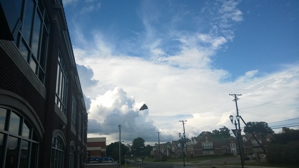
North Street view
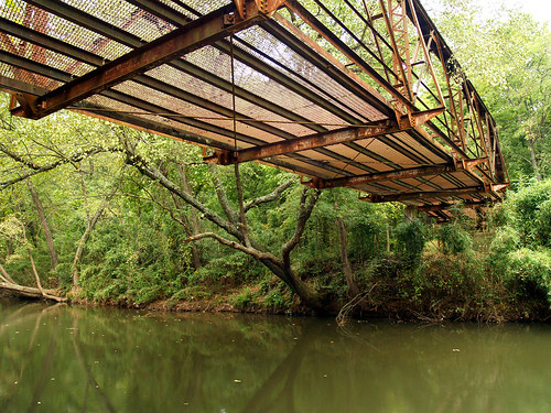
Spadra Creek
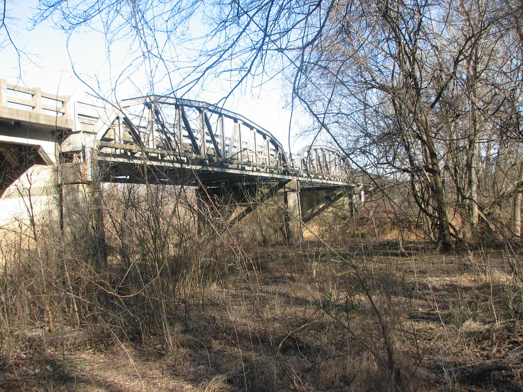
US 64-Horsehead Creek Side View-Close
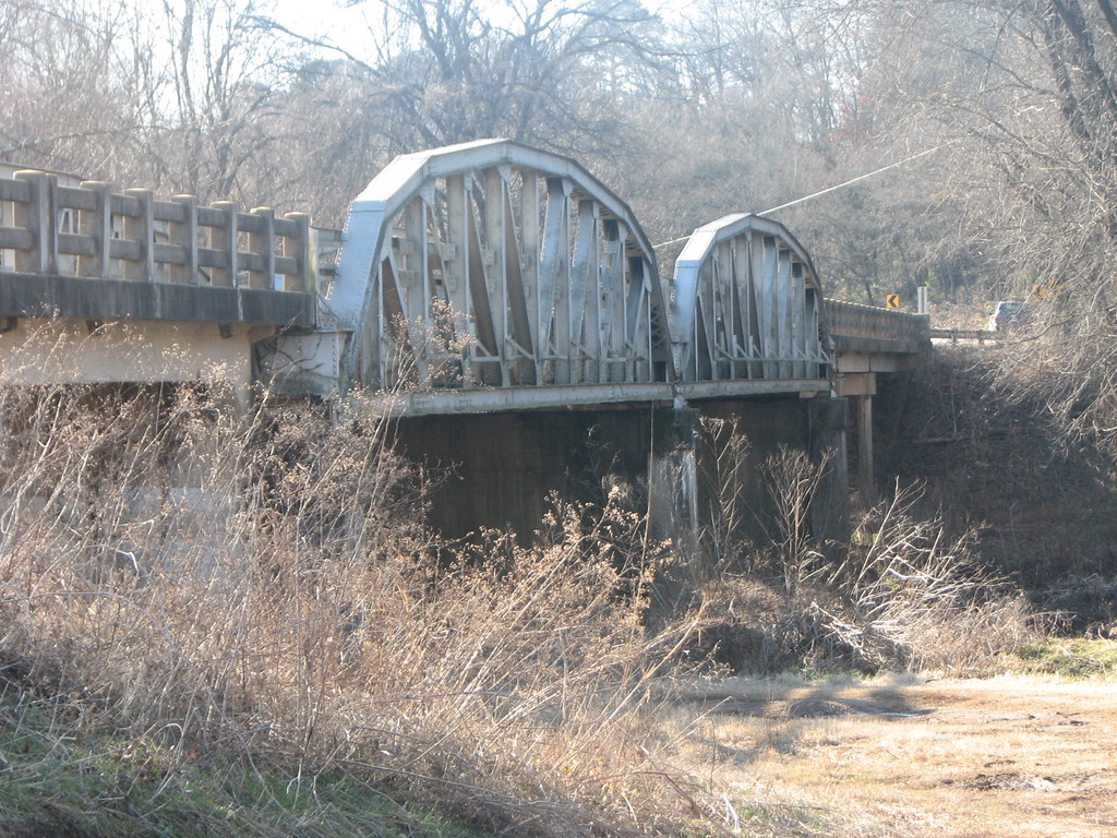
US 64-Horsehead Creek-Side View
So Many Dragons

Chasing the sun...

20151007_184203_Richtone(HDR)
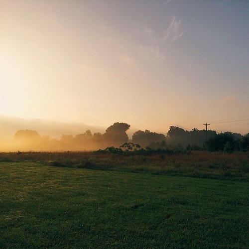
A new morning — a fresh start
Spot of orange (3765a)
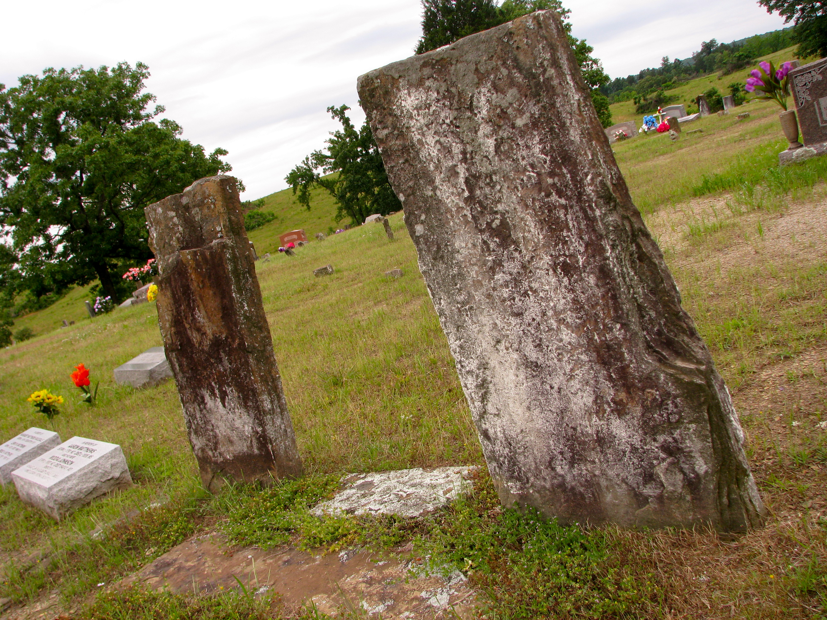
Original Graves of Jacob and Margaret (Garrett) Johnson

Minnow Creek
Topographic Map of Co Rd, Clarksville, AR, USA
Find elevation by address:

Places near Co Rd, Clarksville, AR, USA:
Wise Rd, Clarksville, AR, USA
Tokalon Rd, Scranton, AR, USA
Clarksville
Central Street
Central Street
University Of The Ozarks
422 Rogers Landing Loop
Spadra Township
AR-, Scranton, AR, USA
Cane Creek Township
Lamar
Co Rd, Lamar, AR, USA
312 E Circle Dr
Pittsburg Township
Co Rd, Knoxville, AR, USA
Co Rd, Lamar, AR, USA
Knoxville
Howell Township
Co Rd, London, AR, USA
Mckennon Township
Recent Searches:
- Elevation of Royal Ontario Museum, Queens Park, Toronto, ON M5S 2C6, Canada
- Elevation of Groblershoop, South Africa
- Elevation of Power Generation Enterprises | Industrial Diesel Generators, Oak Ave, Canyon Country, CA, USA
- Elevation of Chesaw Rd, Oroville, WA, USA
- Elevation of N, Mt Pleasant, UT, USA
- Elevation of 6 Rue Jules Ferry, Beausoleil, France
- Elevation of Sattva Horizon, 4JC6+G9P, Vinayak Nagar, Kattigenahalli, Bengaluru, Karnataka, India
- Elevation of Great Brook Sports, Gold Star Hwy, Groton, CT, USA
- Elevation of 10 Mountain Laurels Dr, Nashua, NH, USA
- Elevation of 16 Gilboa Ln, Nashua, NH, USA