Elevation of Clarksville, AR, USA
Location: United States > Arkansas > Johnson County > Spadra Township >
Longitude: -93.466573
Latitude: 35.4714724
Elevation: 111m / 364feet
Barometric Pressure: 100KPa
Elevation Map:
Satellite Map:
Related Photos:

Hagarville, AR Country Store
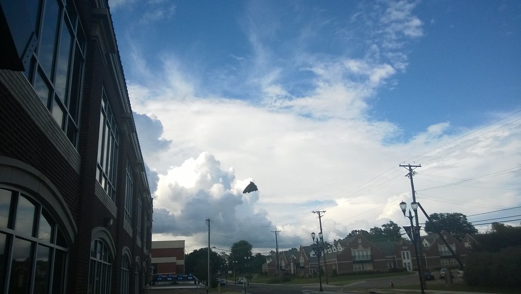
North Street view
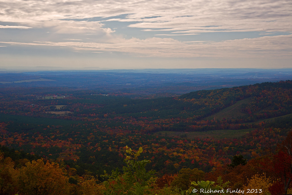
Ozarks Fall
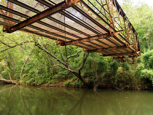
Spadra Creek
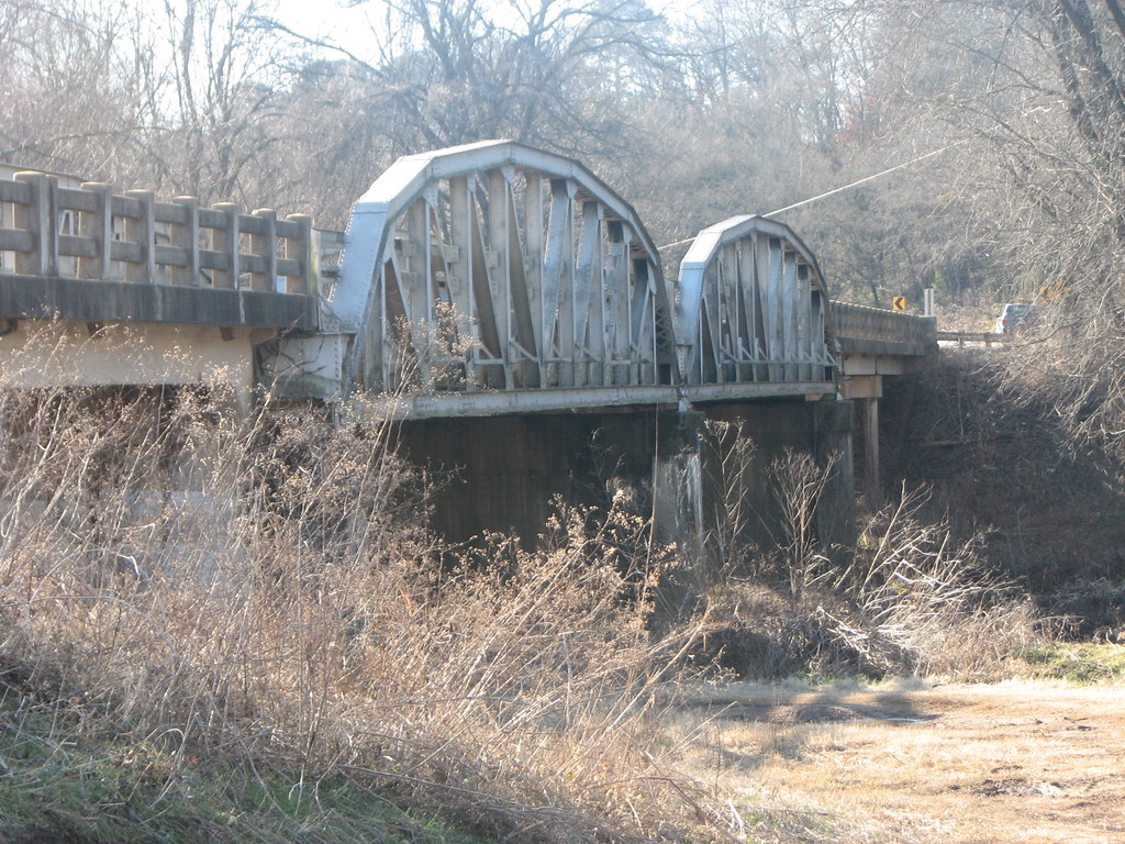
US 64-Horsehead Creek Side View-Close
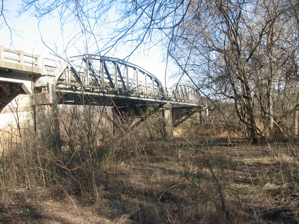
US 64-Horsehead Creek-Side View
So Many Dragons

Hole in the Rock Falls (Zadock Historical)

Hole in the Rock Falls
We're conditioned to believe that we're missing out on something.
20151007_184203_Richtone(HDR)
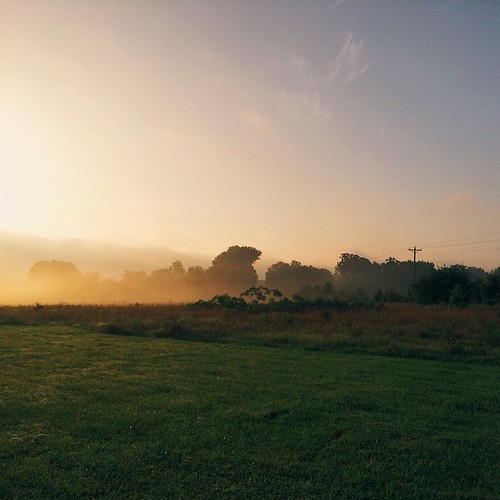
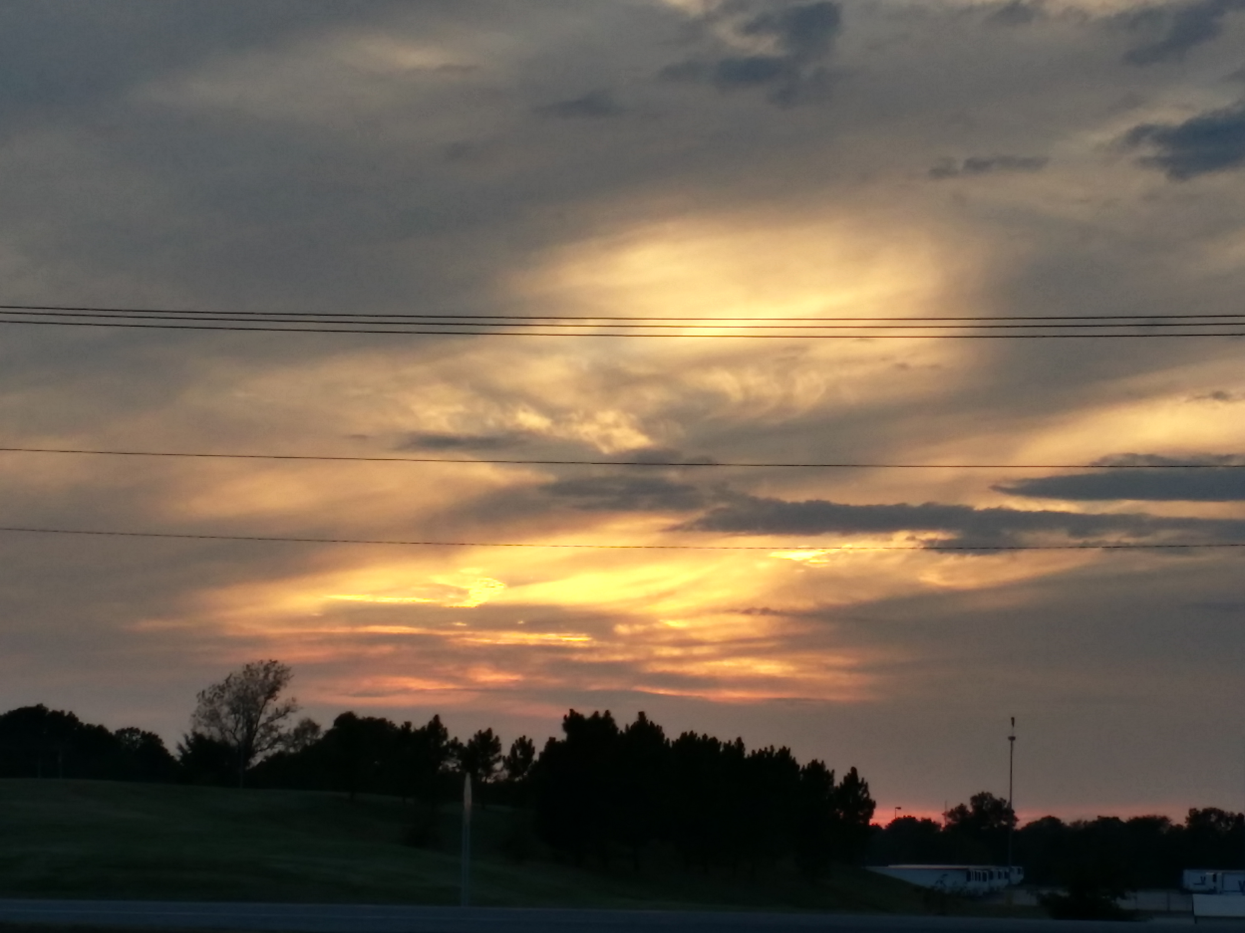
A new morning — a fresh start
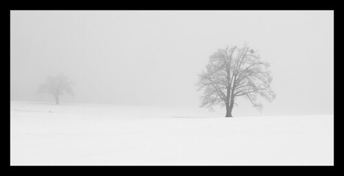
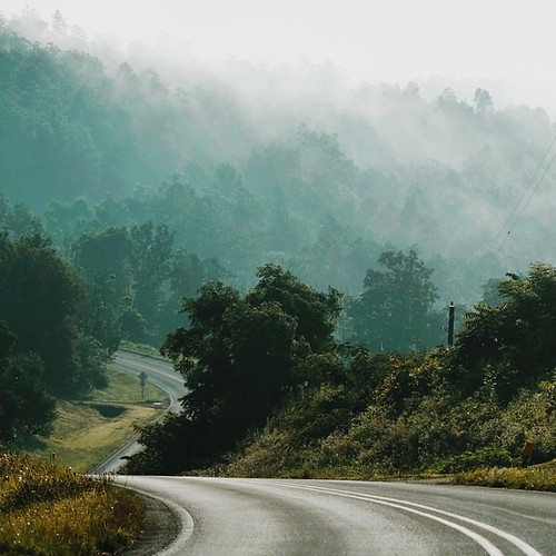
Trees in fog & snow
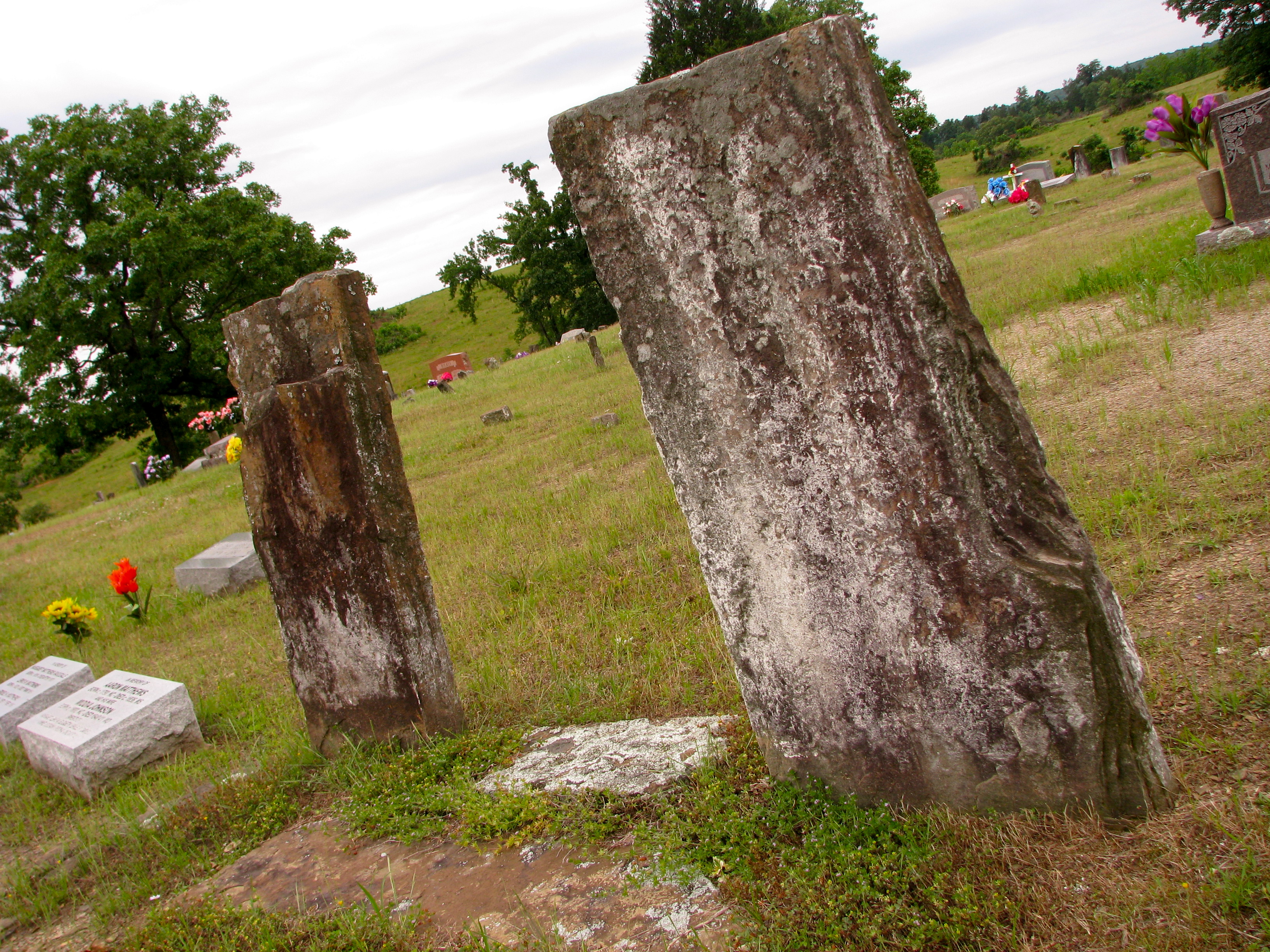
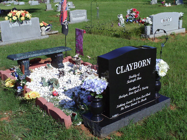
Original Graves of Jacob and Margaret (Garrett) Johnson
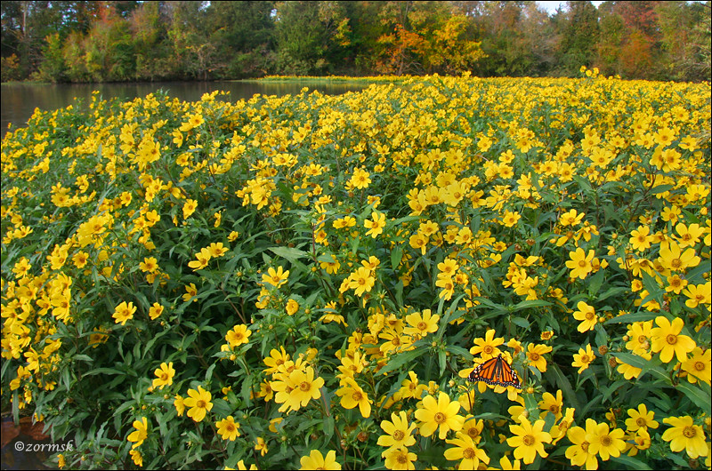
Spot of orange (3765a)

Minnow Creek
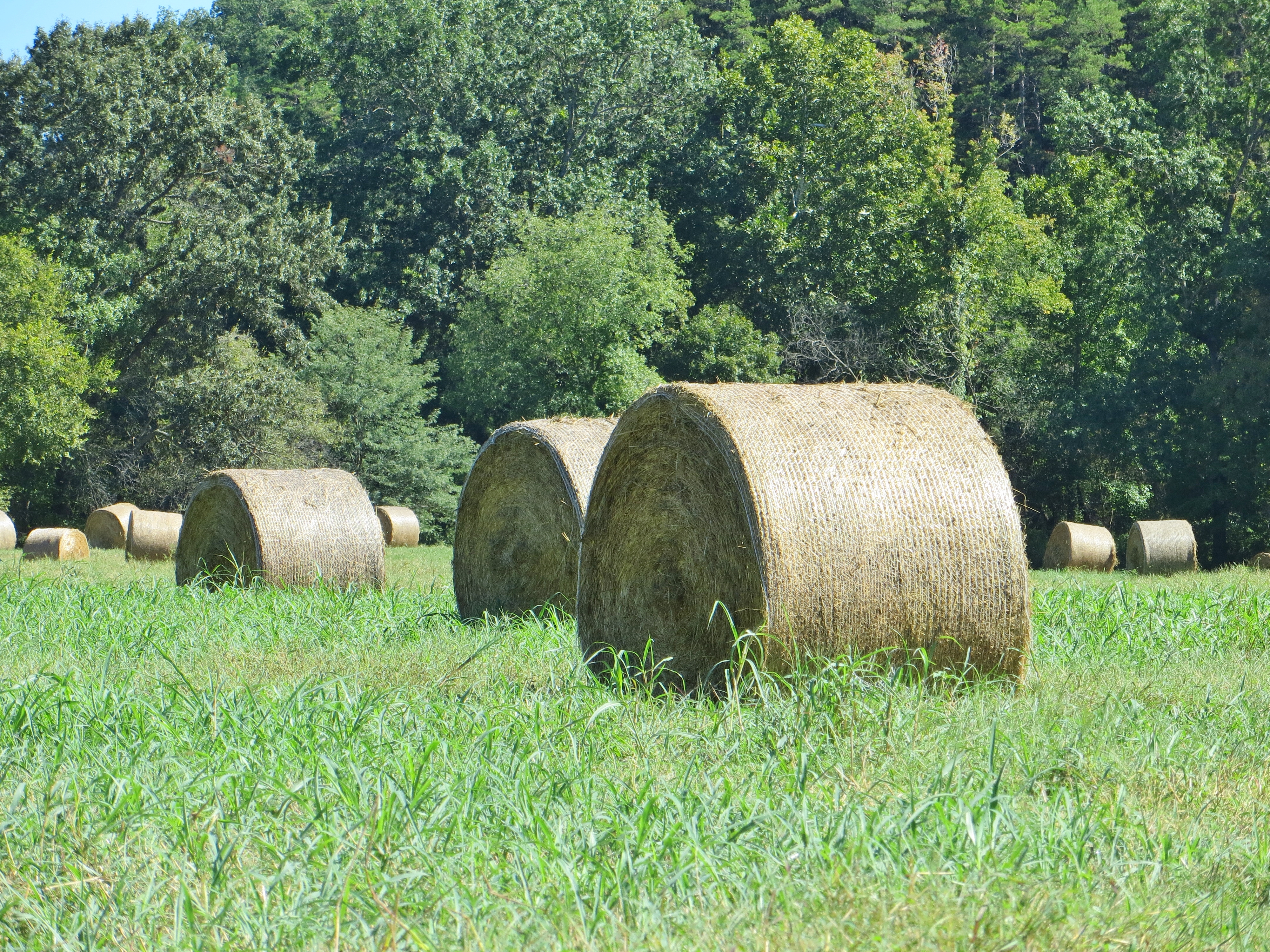
Hay Field
Topographic Map of Clarksville, AR, USA
Find elevation by address:

Places in Clarksville, AR, USA:
Places near Clarksville, AR, USA:
Central Street
Central Street
University Of The Ozarks
Spadra Township
Wise Rd, Clarksville, AR, USA
Co Rd, Clarksville, AR, USA
422 Rogers Landing Loop
Lamar
Tokalon Rd, Scranton, AR, USA
Pittsburg Township
Co Rd, Lamar, AR, USA
AR-, Scranton, AR, USA
312 E Circle Dr
Cane Creek Township
Co Rd, Lamar, AR, USA
Knoxville
Co Rd, Knoxville, AR, USA
Howell Township
State Hwy, Lamar, AR, USA
Co Rd, London, AR, USA
Recent Searches:
- Elevation of Corso Fratelli Cairoli, 35, Macerata MC, Italy
- Elevation of Tallevast Rd, Sarasota, FL, USA
- Elevation of 4th St E, Sonoma, CA, USA
- Elevation of Black Hollow Rd, Pennsdale, PA, USA
- Elevation of Oakland Ave, Williamsport, PA, USA
- Elevation of Pedrógão Grande, Portugal
- Elevation of Klee Dr, Martinsburg, WV, USA
- Elevation of Via Roma, Pieranica CR, Italy
- Elevation of Tavkvetili Mountain, Georgia
- Elevation of Hartfords Bluff Cir, Mt Pleasant, SC, USA