Elevation of State Hwy, Lamar, AR, USA
Location: United States > Arkansas > Johnson County > Hickey Township >
Longitude: -93.311267
Latitude: 35.484187
Elevation: 216m / 709feet
Barometric Pressure: 99KPa
Elevation Map:
Satellite Map:
Related Photos:
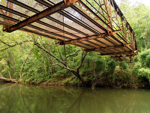
Graves Creek Mini-Twin

Hagarville, AR Country Store
North Street view
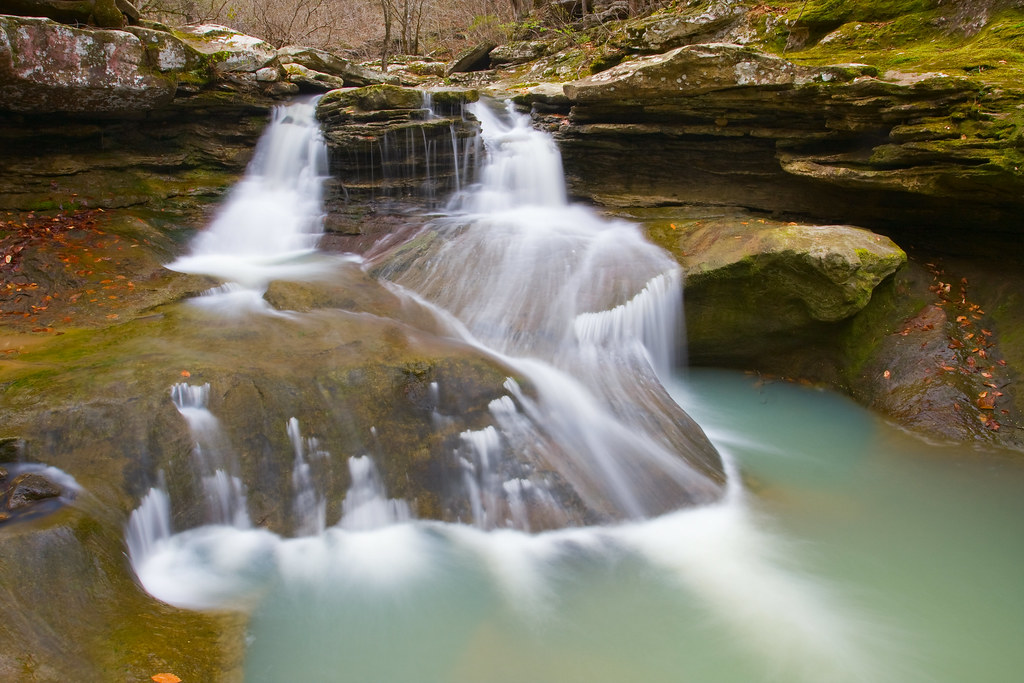
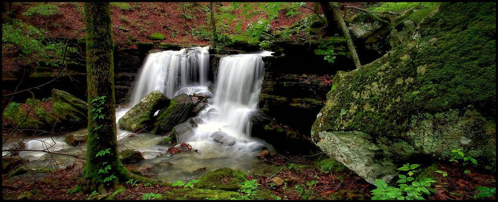
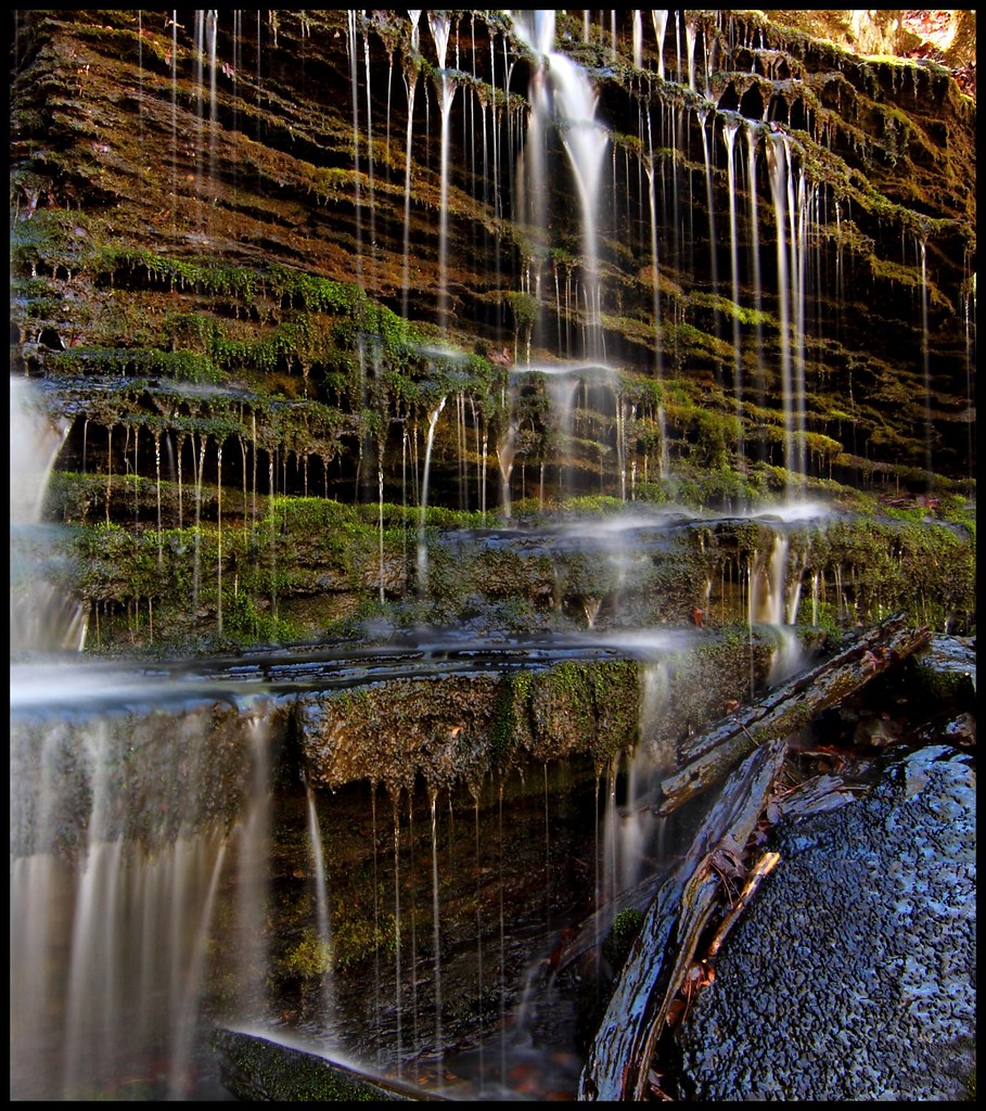
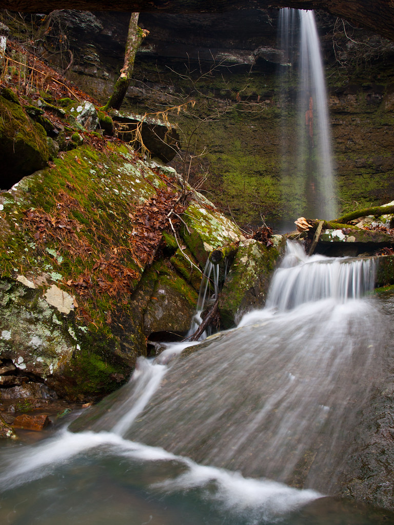
Graves Creek Falls II

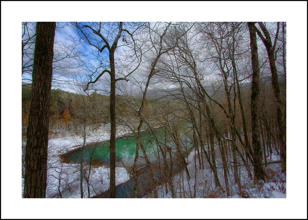
Huckleberry Lake Panorama af
Ozarks Fall
Spadra Creek
So Many Dragons
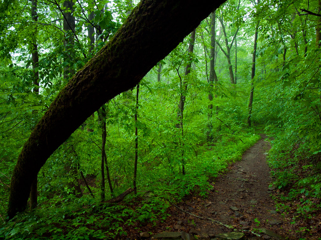
Walk This Way
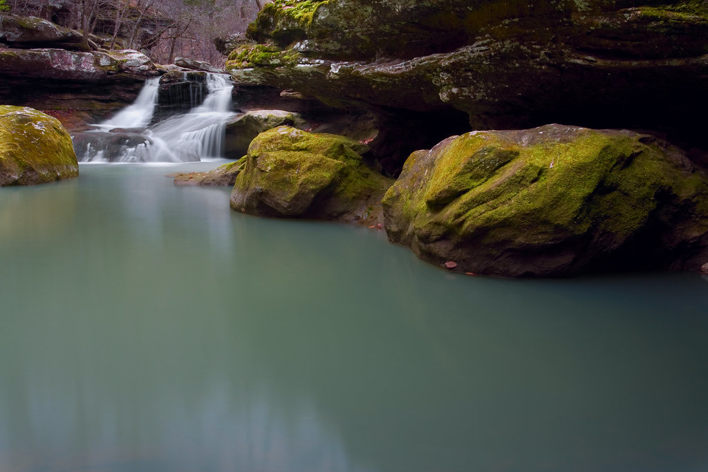
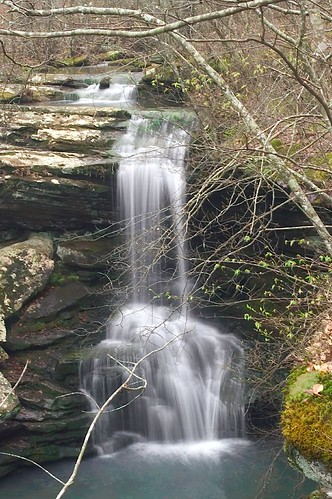
Lower Longpool Falls
Lower Longpool falls closeup

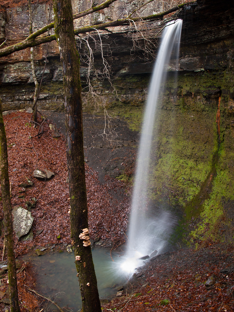
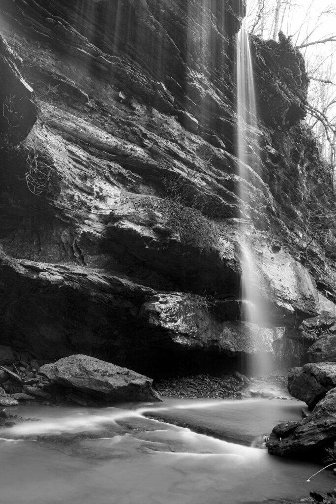
Hole in the Rock Falls (Zadock Historical)

Hole in the Rock Falls
Hwy. 123 Falls
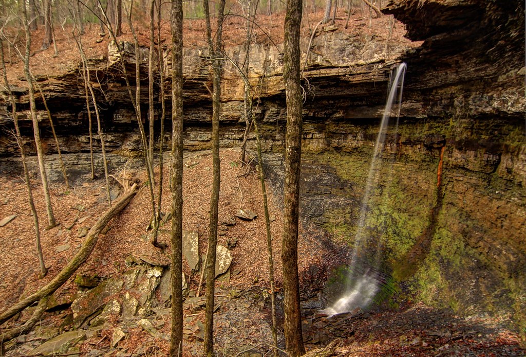
Highway 123 Falls
Lower Longpool Falls
Highway 123 Falls

Chasing the sun...
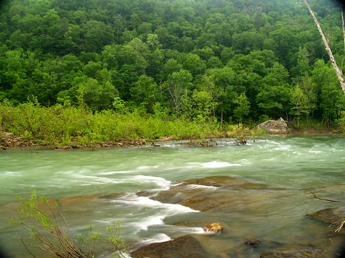
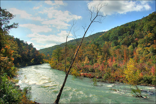
The Big Piney creek
A new morning — a fresh start
Big Piney
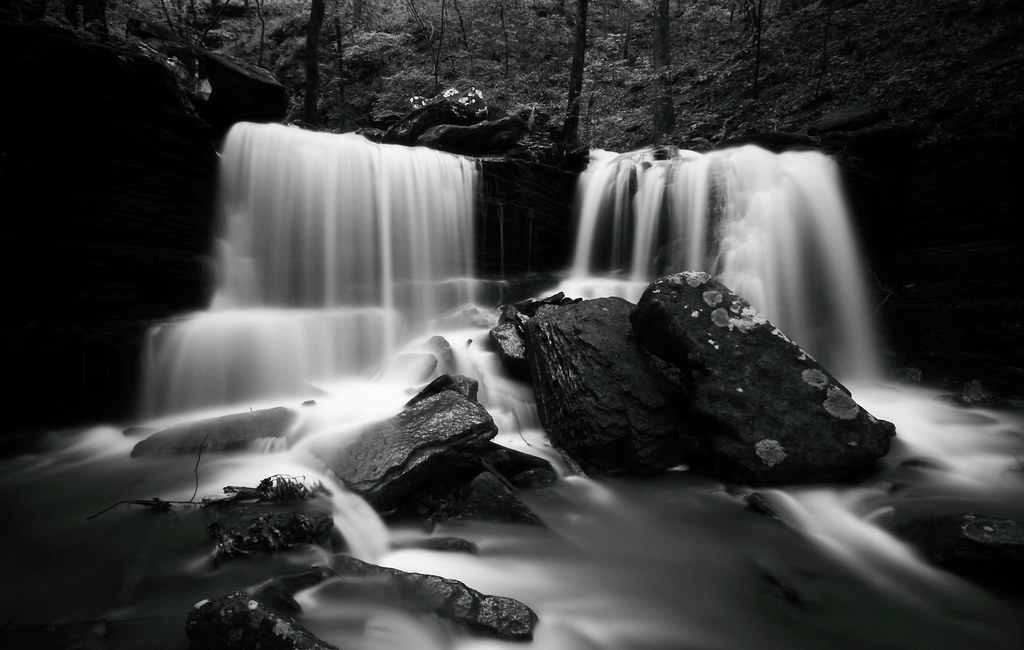
Forever Falls
Piney Creek (1757_5_6a)
River-2008

Big Piney Creek
Upper Buffalo Wilderness Area
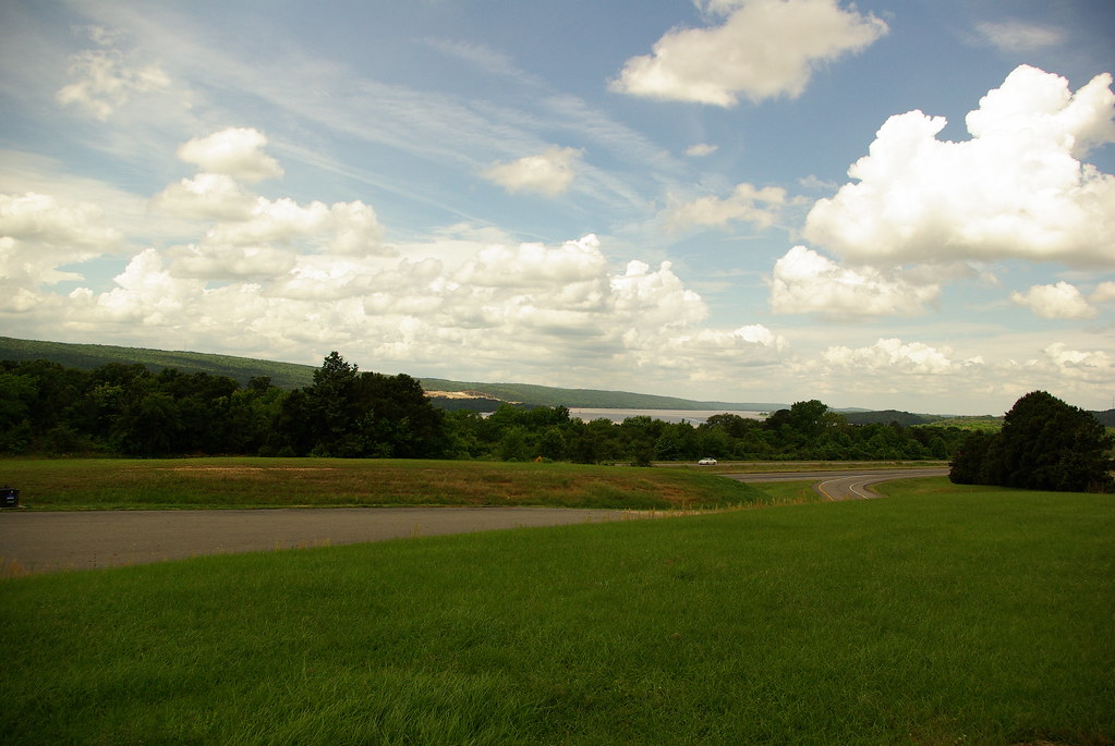
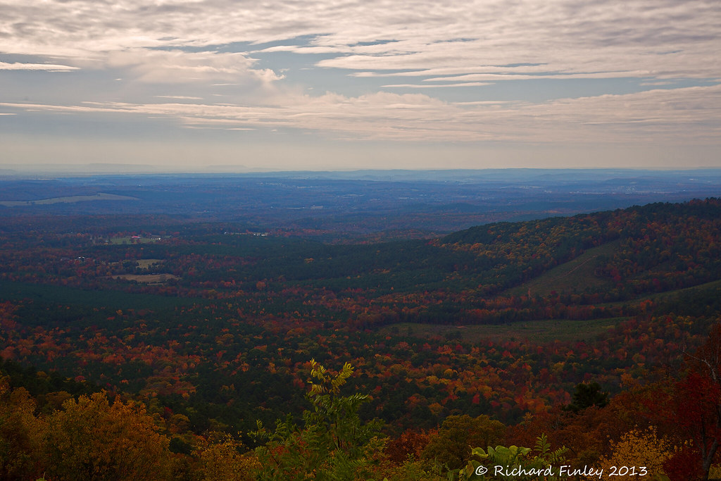
I-40 Scenic Overlook Arkansas on a clear Summer Day
Topographic Map of State Hwy, Lamar, AR, USA
Find elevation by address:

Places near State Hwy, Lamar, AR, USA:
State Hwy, Lamar, AR, USA
Ross Mountain Rd, Lamar, AR, USA
Pittsburg Township
Co Rd, London, AR, USA
Mckennon Township
2573 Co Rd 3800
Lamar
Co Rd, Lamar, AR, USA
Co Rd, Lamar, AR, USA
312 E Circle Dr
Martin Township
Knoxville
Hide A Way Lane
Howell Township
Co Rd, Knoxville, AR, USA
Central Street
Central Street
University Of The Ozarks
422 Rogers Landing Loop
Clarksville
Recent Searches:
- Elevation of Lampiasi St, Sarasota, FL, USA
- Elevation of Elwyn Dr, Roanoke Rapids, NC, USA
- Elevation of Congressional Dr, Stevensville, MD, USA
- Elevation of Bellview Rd, McLean, VA, USA
- Elevation of Stage Island Rd, Chatham, MA, USA
- Elevation of Shibuya Scramble Crossing, 21 Udagawacho, Shibuya City, Tokyo -, Japan
- Elevation of Jadagoniai, Kaunas District Municipality, Lithuania
- Elevation of Pagonija rock, Kranto 7-oji g. 8"N, Kaunas, Lithuania
- Elevation of Co Rd 87, Jamestown, CO, USA
- Elevation of Tenjo, Cundinamarca, Colombia