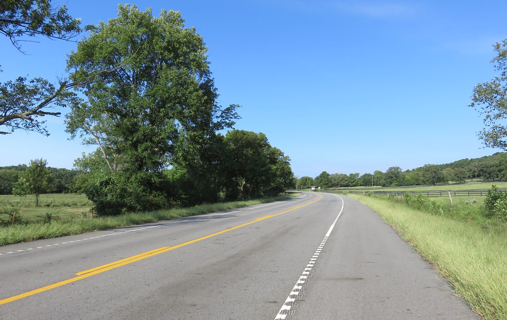
Elevation of Co Rd, Clarksville, AR, USA
Location: United States > Arkansas > Johnson County > Spadra Township > Clarksville >
Longitude: -93.548258
Latitude: 35.487681
Elevation: 158m / 518feet
Barometric Pressure: 99KPa
Elevation Map:
Satellite Map:
Related Photos:
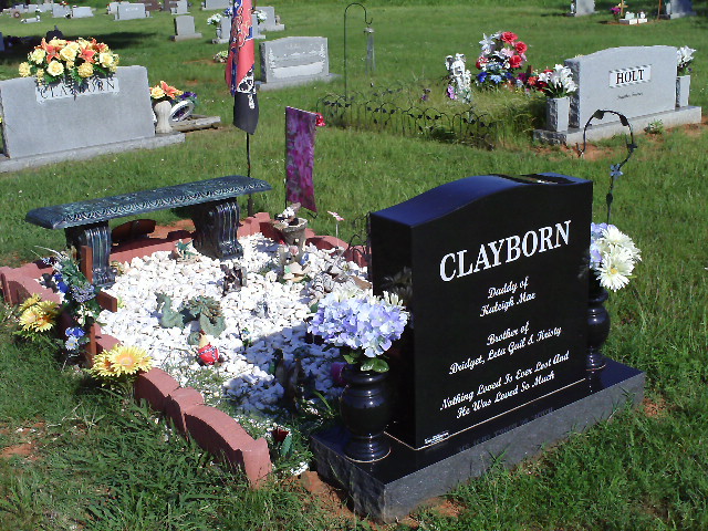
North Street view
Spadra Creek
US 64-Horsehead Creek Side View-Close
US 64-Horsehead Creek-Side View
So Many Dragons
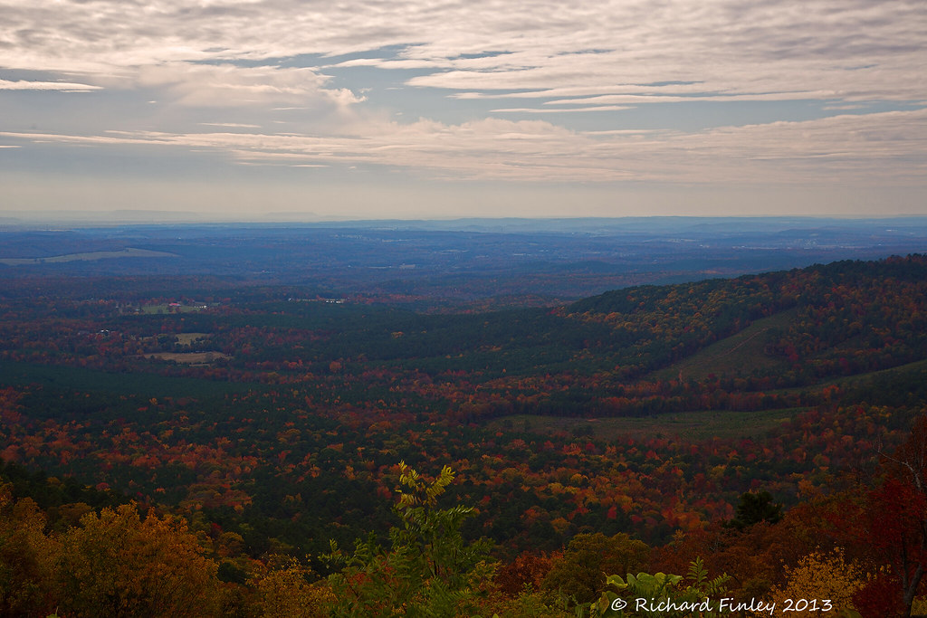
Ozarks Fall

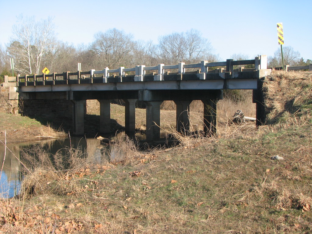
Mystery Bridge-Deck View
Side View-Horsehead Creek

20151007_184203_Richtone(HDR)
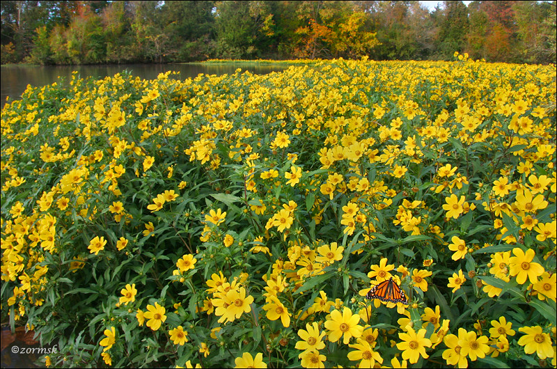
Spot of orange (3765a)
Arkansas River Valley Landscape (Johnson County, Arkansas)
We're conditioned to believe that we're missing out on something.

Trees in fog & snow
Topographic Map of Co Rd, Clarksville, AR, USA
Find elevation by address:

Places near Co Rd, Clarksville, AR, USA:
Prairie Township
County Road 2260
Co Rd, Hartman, AR, USA
Co Rd, Hartman, AR, USA
Ward Township
Hartman
Burlison St, Hartman, AR, USA
River Township
AR-, Scranton, AR, USA
Scranton
1314 Co Rd 3020
US-64, Coal Hill, AR, USA
Coal Hill
Grant Township
4473 Cottontown Rd
Parks Rd, Scranton, AR, USA
8537 Us-64
Alix Township
1700 St Marys Mountain Rd
Franklin, Altus, AR, USA
Recent Searches:
- Elevation of Rojo Ct, Atascadero, CA, USA
- Elevation of Flagstaff Drive, Flagstaff Dr, North Carolina, USA
- Elevation of Avery Ln, Lakeland, FL, USA
- Elevation of Woolwine, VA, USA
- Elevation of Lumagwas Diversified Farmers Multi-Purpose Cooperative, Lumagwas, Adtuyon, RV32+MH7, Pangantucan, Bukidnon, Philippines
- Elevation of Homestead Ridge, New Braunfels, TX, USA
- Elevation of Orchard Road, Orchard Rd, Marlborough, NY, USA
- Elevation of 12 Hutchinson Woods Dr, Fletcher, NC, USA
- Elevation of Holloway Ave, San Francisco, CA, USA
- Elevation of Norfolk, NY, USA