Elevation of AR-, Scranton, AR, USA
Location: United States > Arkansas > Logan County > Cane Creek Township >
Longitude: -93.4729
Latitude: 35.36302
Elevation: 140m / 459feet
Barometric Pressure: 100KPa
Elevation Map:
Satellite Map:
Related Photos:
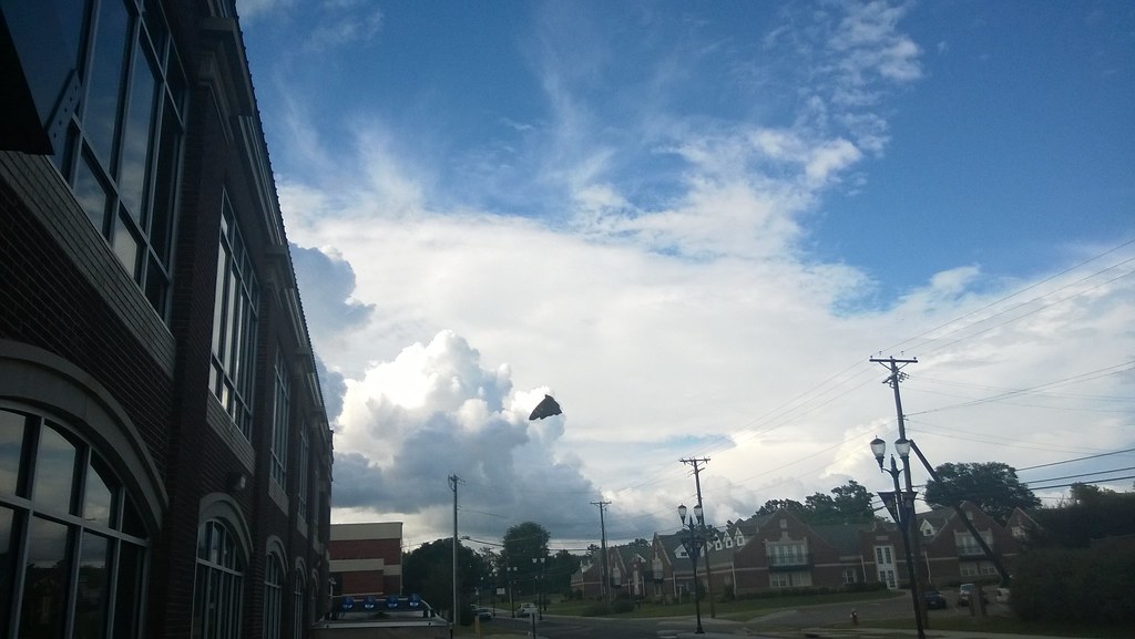
North Street view
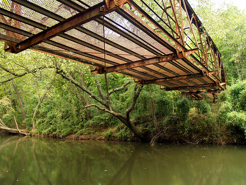
Spadra Creek
US 64-Horsehead Creek Side View-Close
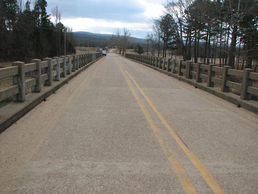
Little Shoal Creek-Deck View
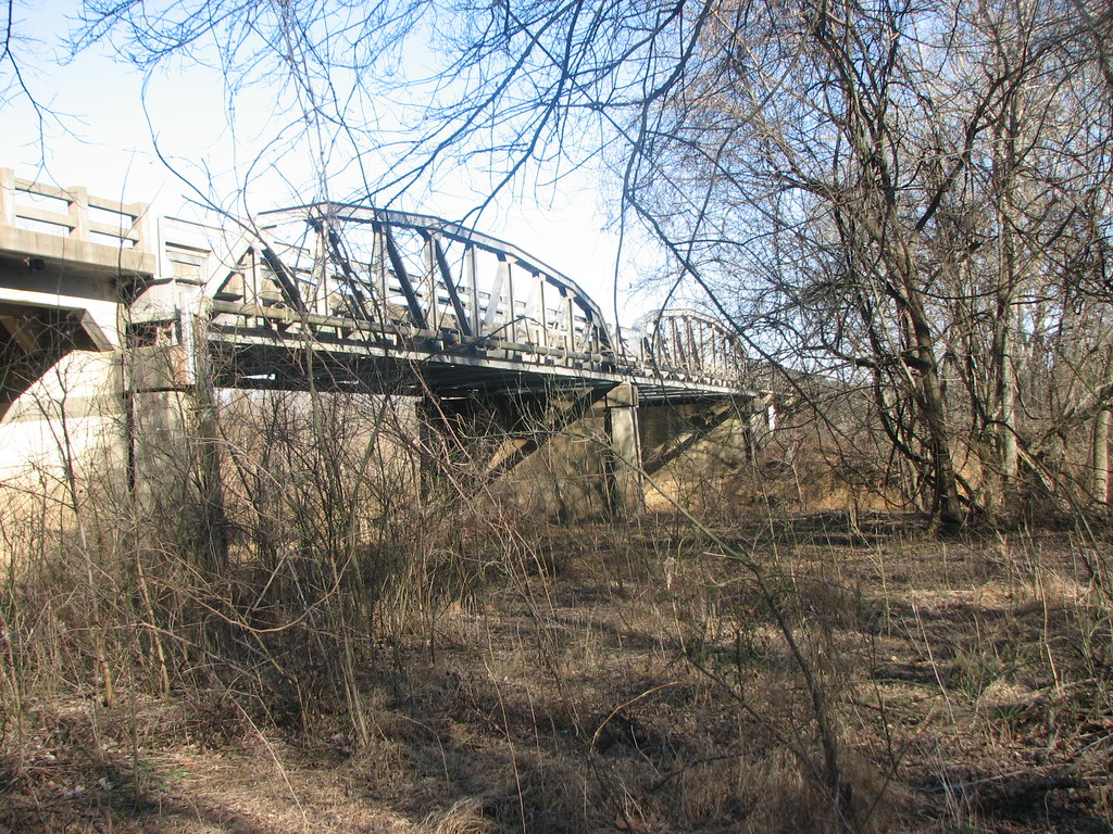
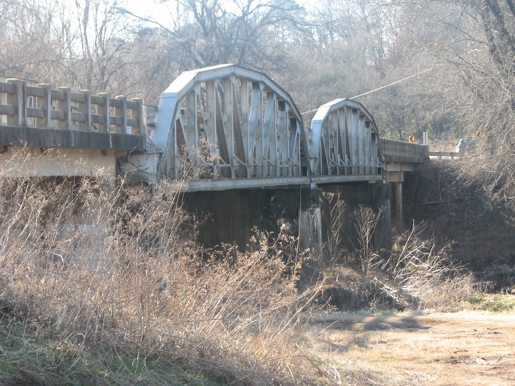
US 64-Horsehead Creek-Side View
So Many Dragons
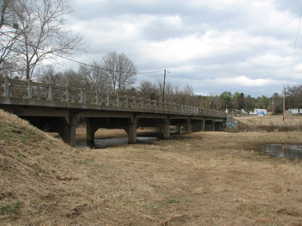
Little Shoal Creek-Side View

view from my room

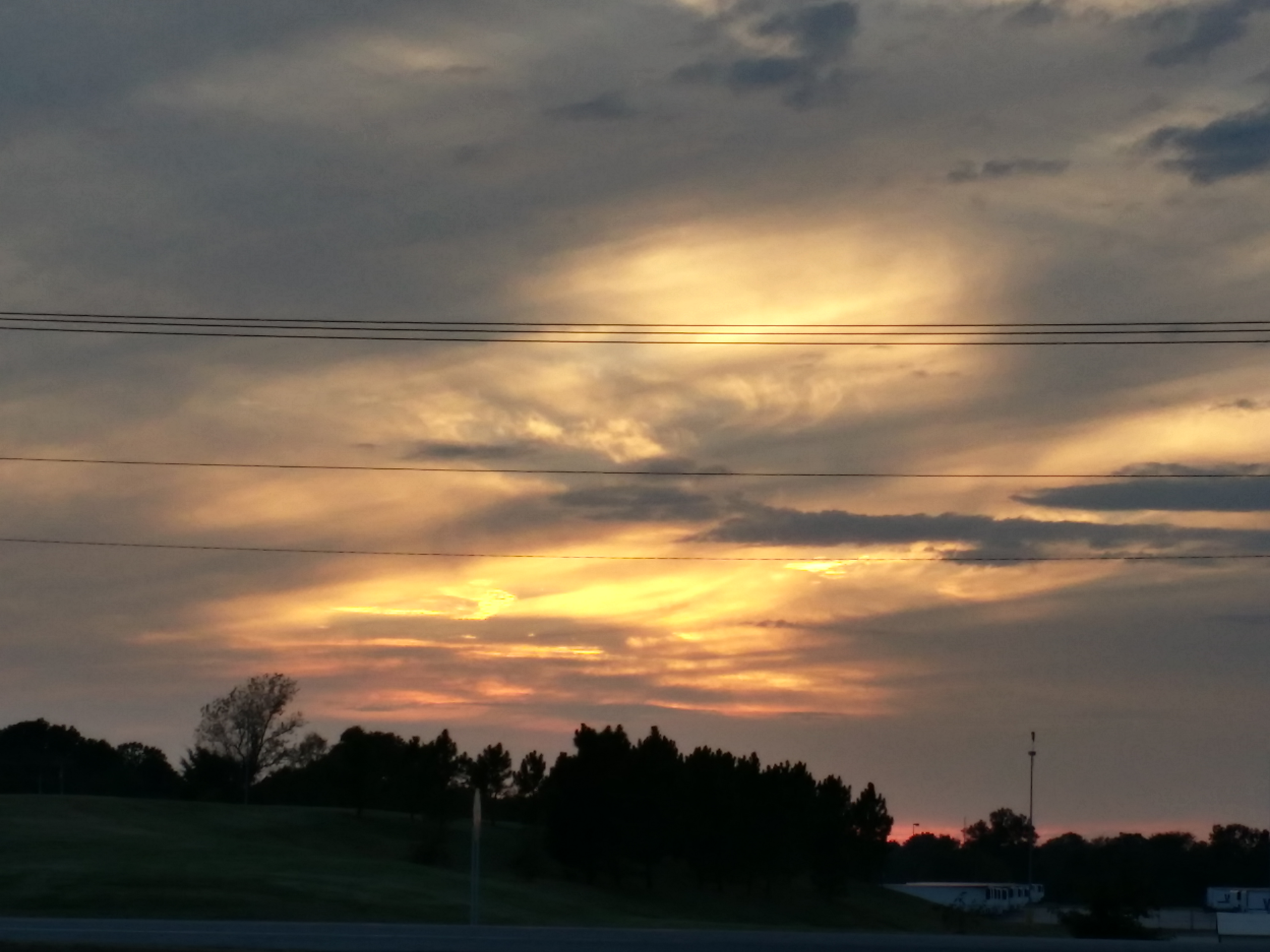
Chasing the sun...
A new morning — a fresh start
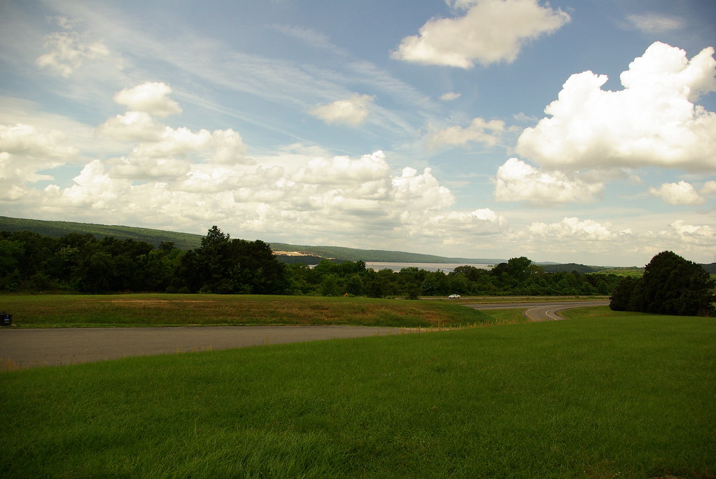
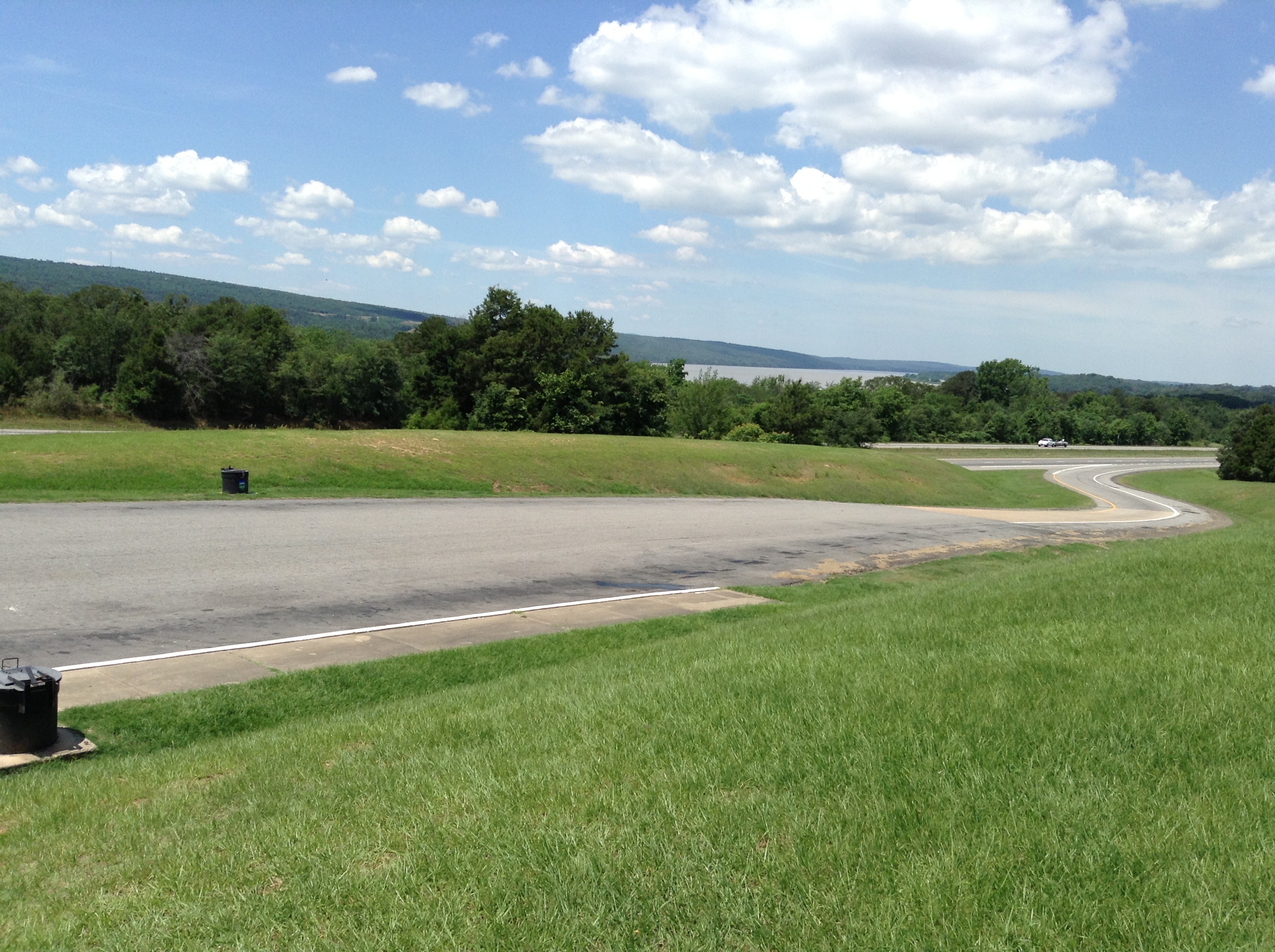
I-40 Scenic Overlook Arkansas on a clear Summer Day
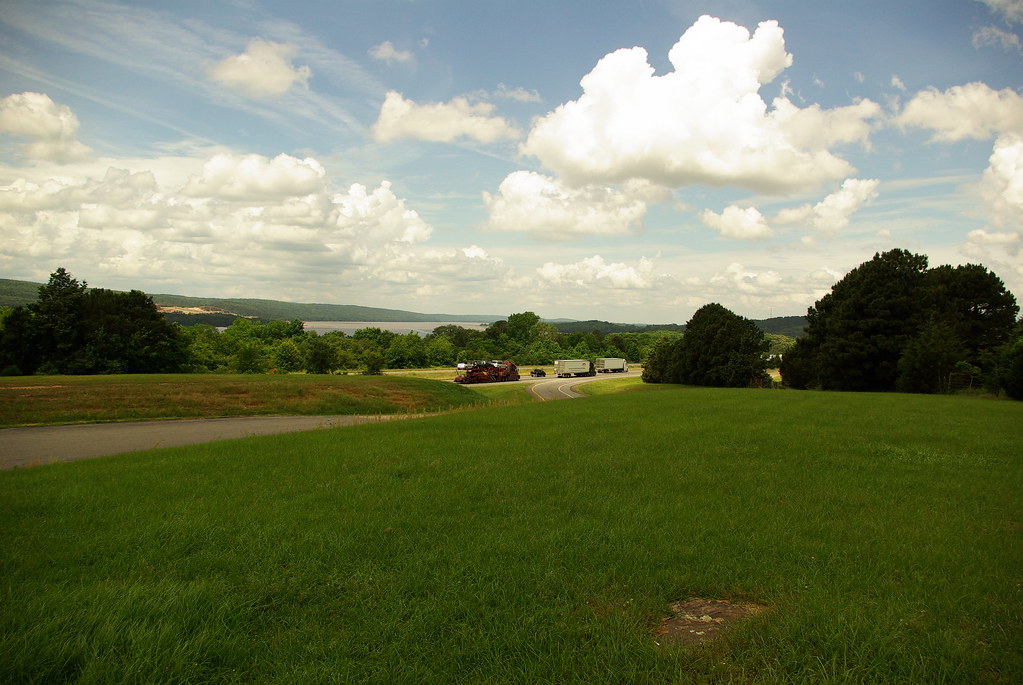
I-40 Scenic Overlook Arkansas on a clear Summer Day
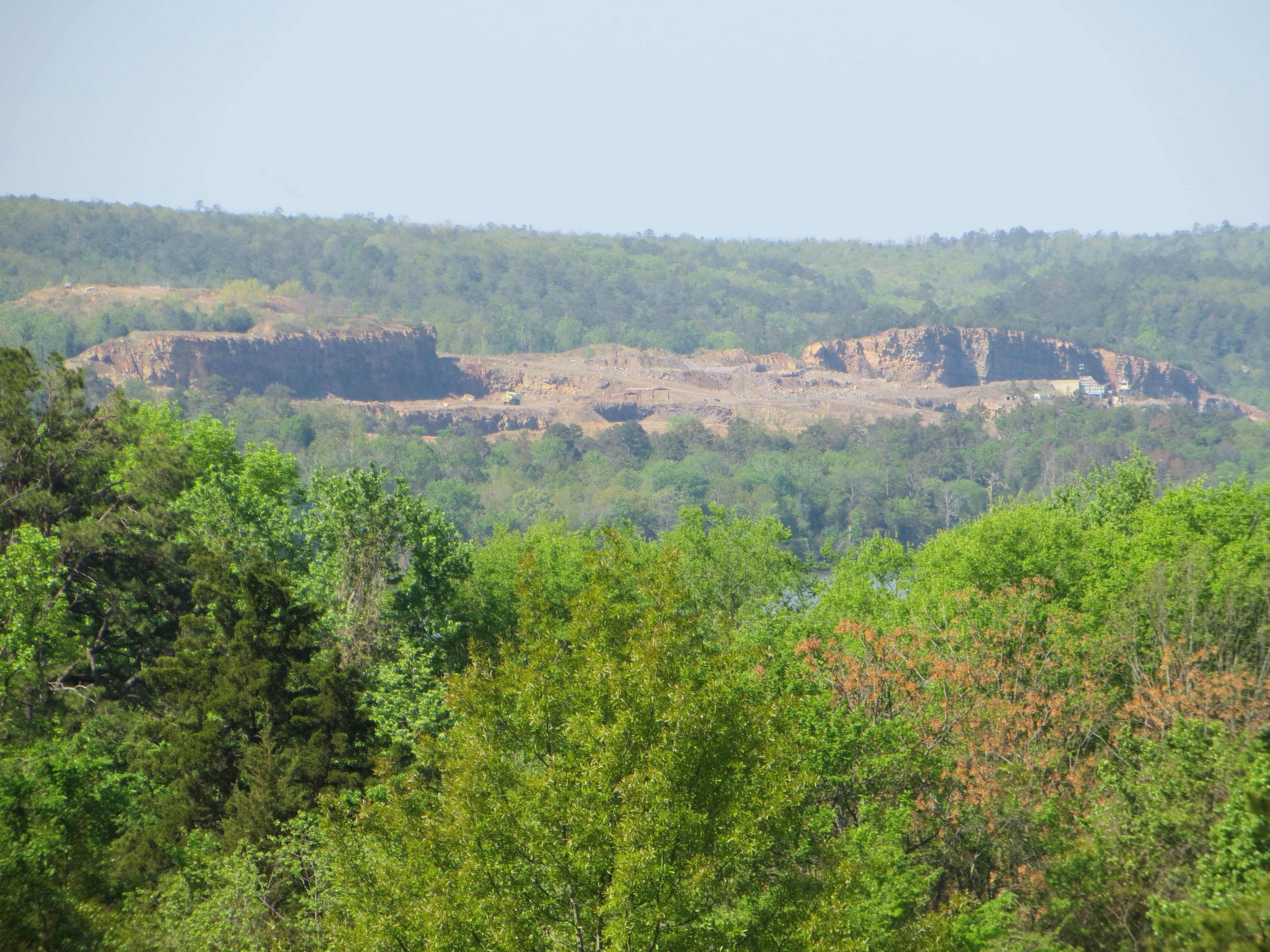
Rock formation across Lake Dardanelle
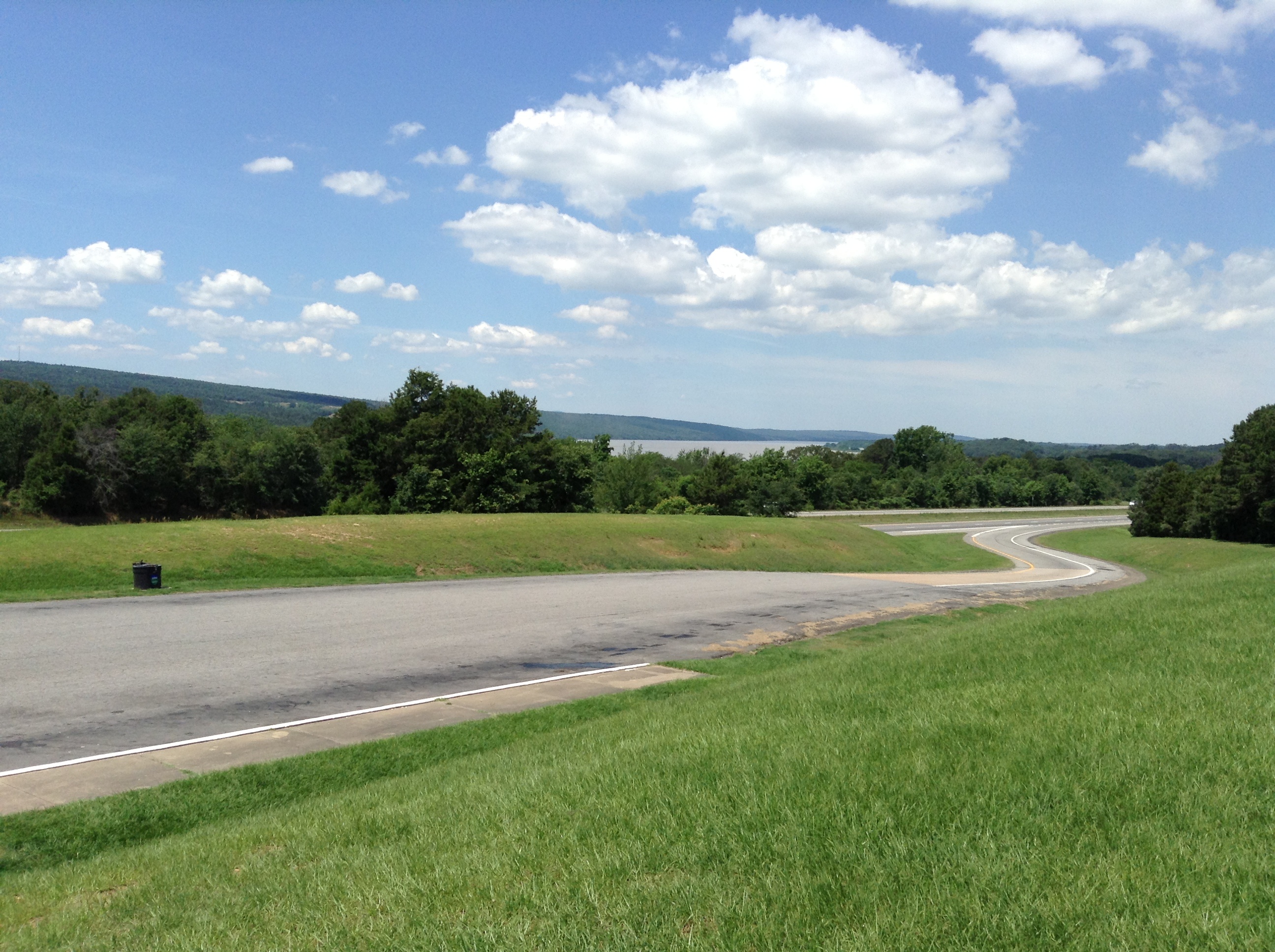
Lake Dardanelle, Arkansas
Lake Dardanelle
20151007_184203_Richtone(HDR)
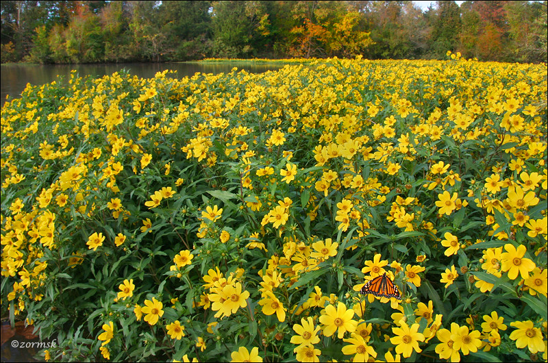
Spot of orange (3765a)
Topographic Map of AR-, Scranton, AR, USA
Find elevation by address:

Places near AR-, Scranton, AR, USA:
Tokalon Rd, Scranton, AR, USA
Cane Creek Township
422 Rogers Landing Loop
Co Rd, Clarksville, AR, USA
Wise Rd, Clarksville, AR, USA
Co Rd, Knoxville, AR, USA
Co Rd, Lamar, AR, USA
312 E Circle Dr
Howell Township
Clarksville
Central Street
Central Street
Knoxville
University Of The Ozarks
Lamar
Spadra Township
Co Rd, Lamar, AR, USA
Pittsburg Township
Mckennon Township
Co Rd, London, AR, USA
Recent Searches:
- Elevation of Crocker Dr, Vacaville, CA, USA
- Elevation of Pu Ngaol Community Meeting Hall, HWHM+3X7, Krong Saen Monourom, Cambodia
- Elevation of Royal Ontario Museum, Queens Park, Toronto, ON M5S 2C6, Canada
- Elevation of Groblershoop, South Africa
- Elevation of Power Generation Enterprises | Industrial Diesel Generators, Oak Ave, Canyon Country, CA, USA
- Elevation of Chesaw Rd, Oroville, WA, USA
- Elevation of N, Mt Pleasant, UT, USA
- Elevation of 6 Rue Jules Ferry, Beausoleil, France
- Elevation of Sattva Horizon, 4JC6+G9P, Vinayak Nagar, Kattigenahalli, Bengaluru, Karnataka, India
- Elevation of Great Brook Sports, Gold Star Hwy, Groton, CT, USA