Elevation of AR-21, Ozone, AR, USA
Location: United States > Arkansas > Johnson County > Sherman Township > Ozone >
Longitude: -93.442865
Latitude: 35.6412297
Elevation: 595m / 1952feet
Barometric Pressure: 94KPa
Elevation Map:
Satellite Map:
Related Photos:
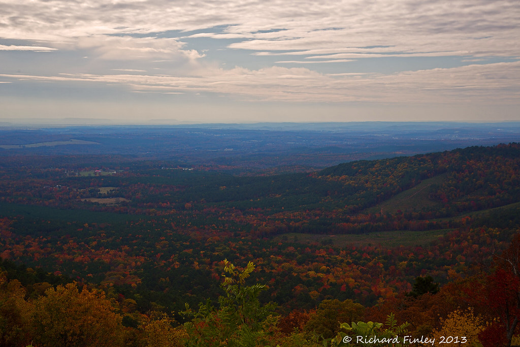
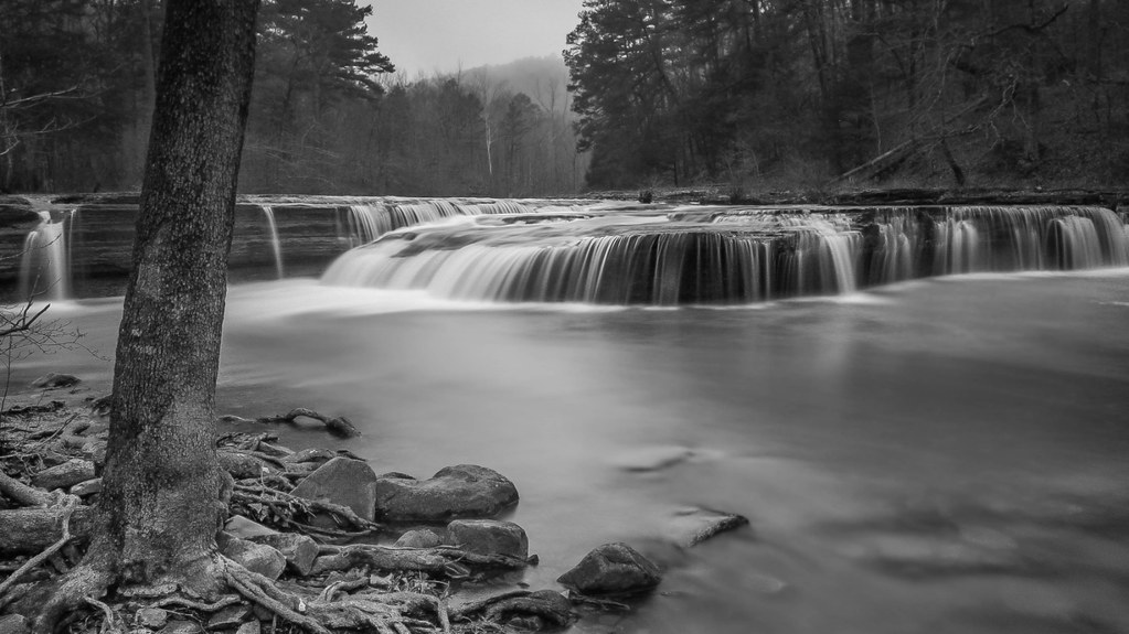
Ozarks Fall
Out Waterfallin'
Hwy. 123 Falls

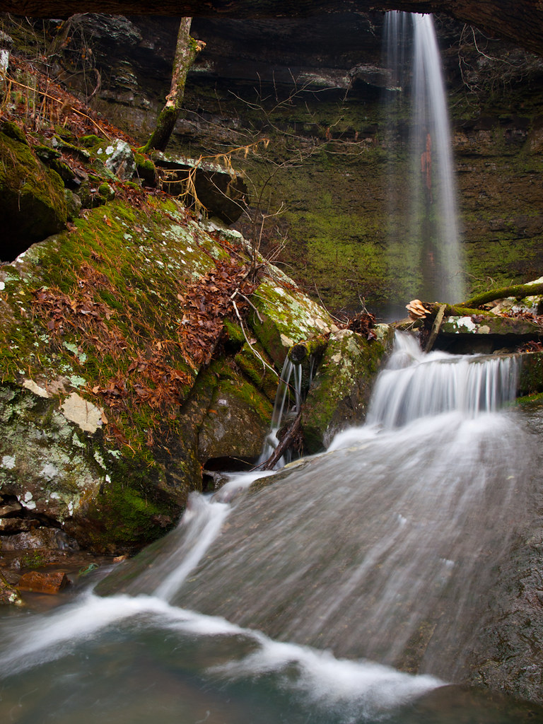
Hole in the Rock Falls (Zadock Historical)

Hole in the Rock Falls
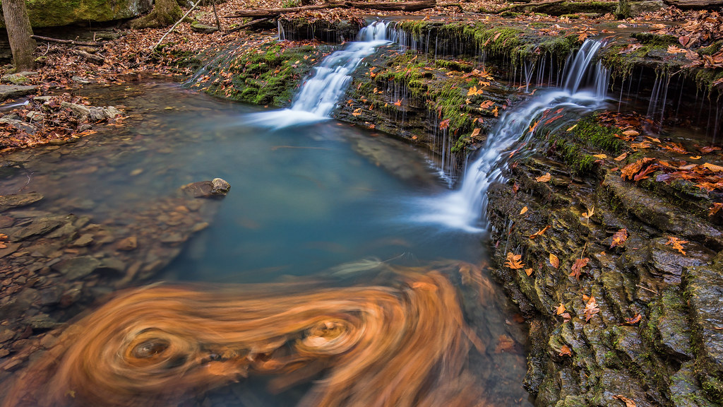
Double Waterfall with a double leaf swirly on an unnamed creek somewhere in the Ozarks
Highway 123 Falls
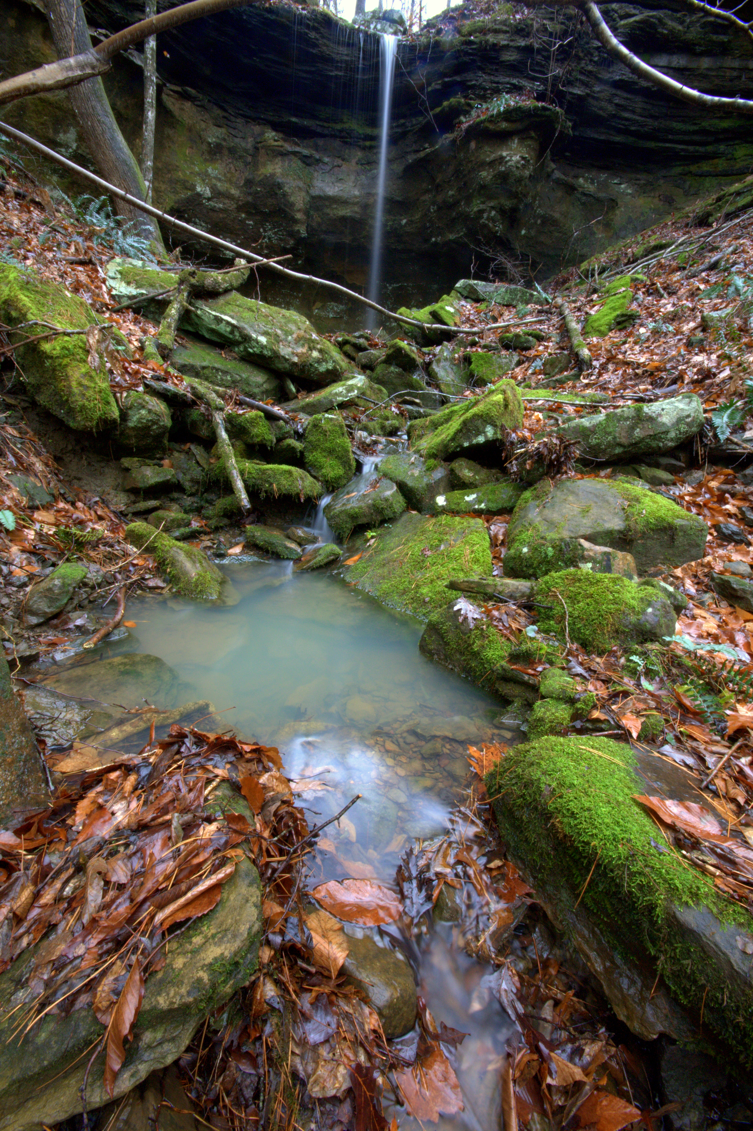
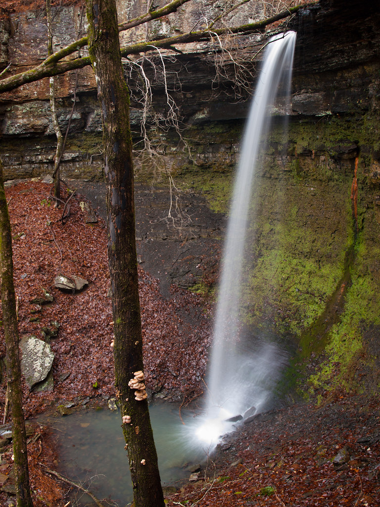
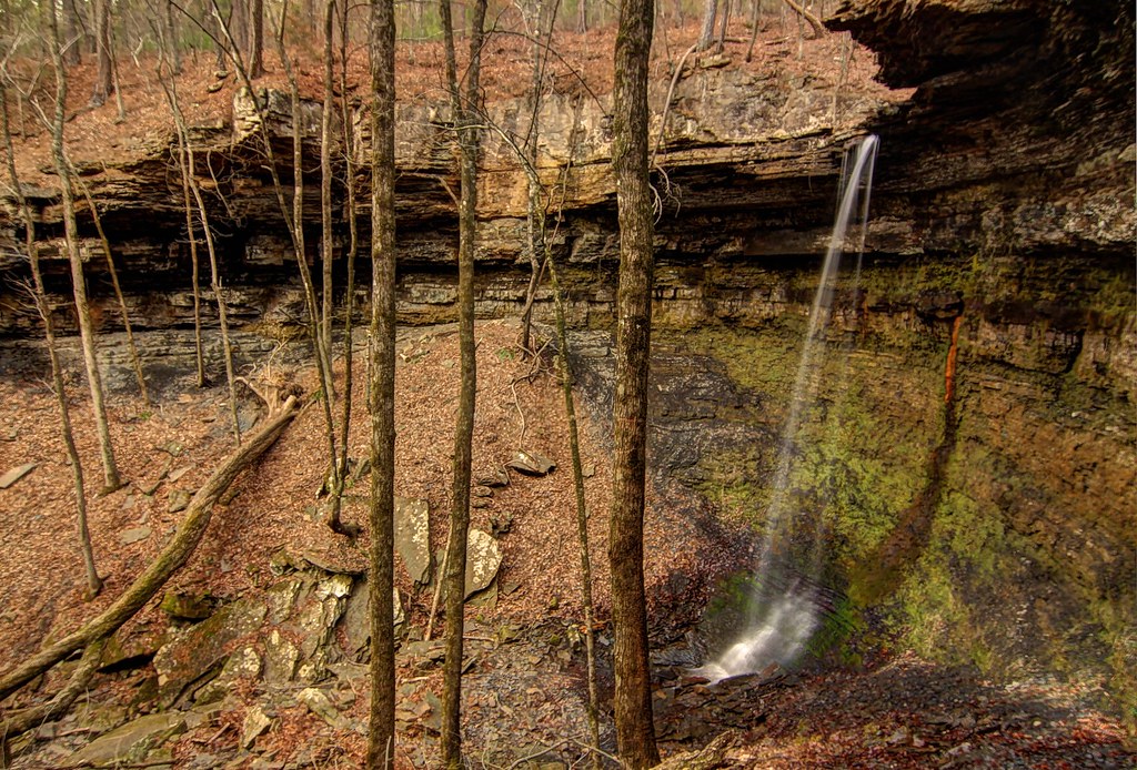
Unnamed Falls {Grotto Falls}
Unnamed Falls {Slippery Cascade}
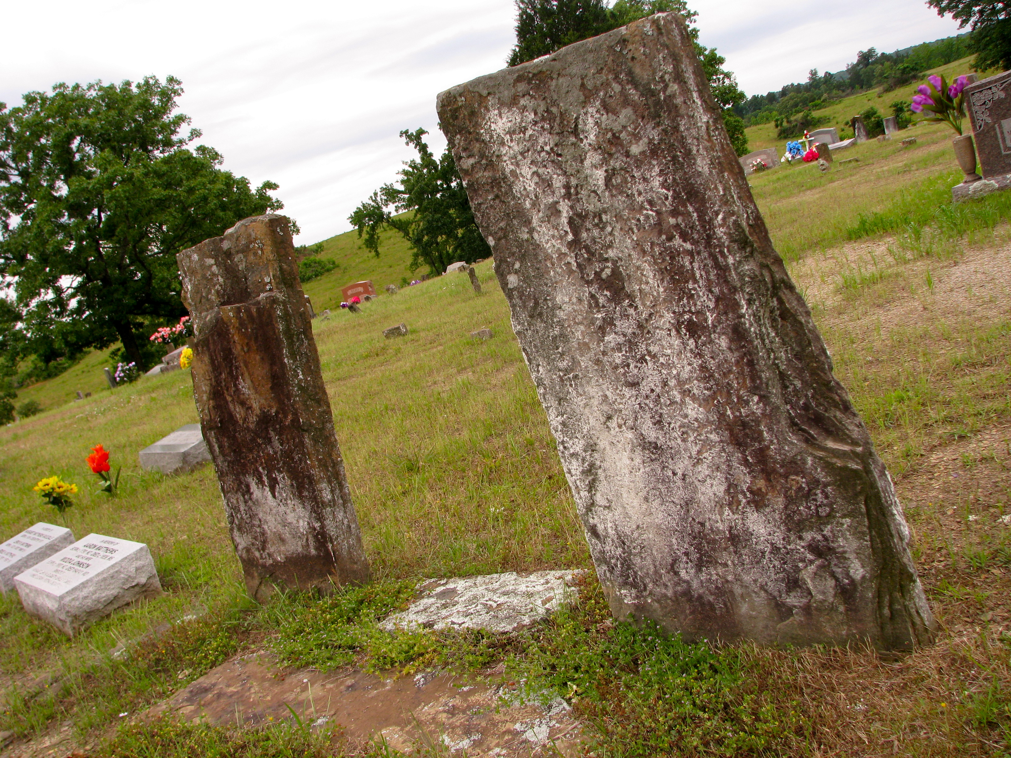
Original Graves of Jacob and Margaret (Garrett) Johnson

Minnow Creek
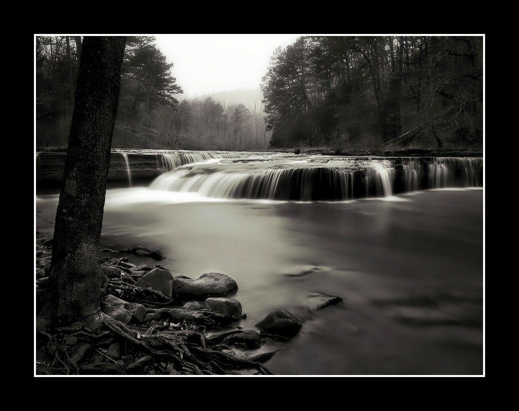
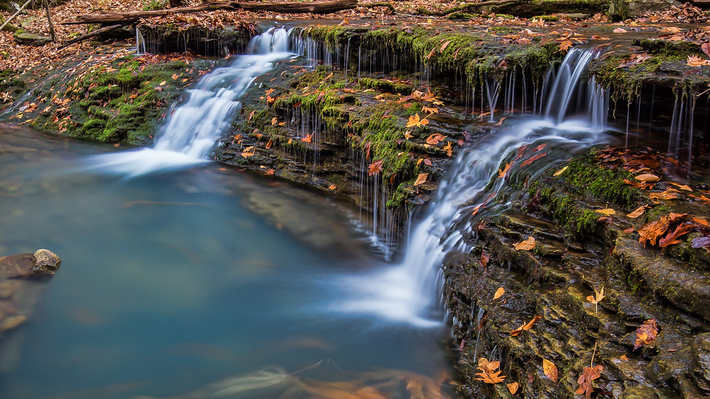
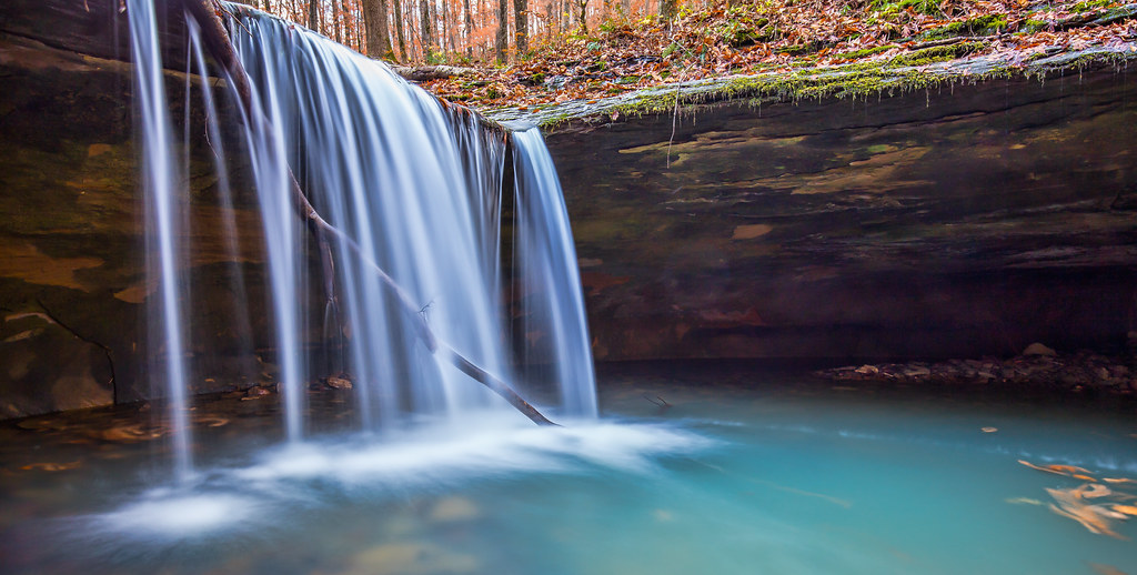
Haw Creek Falls
We're conditioned to believe that we're missing out on something.
Highway 123 Falls

Creek under Highway 103
Unnamed falls on an unnamed creek
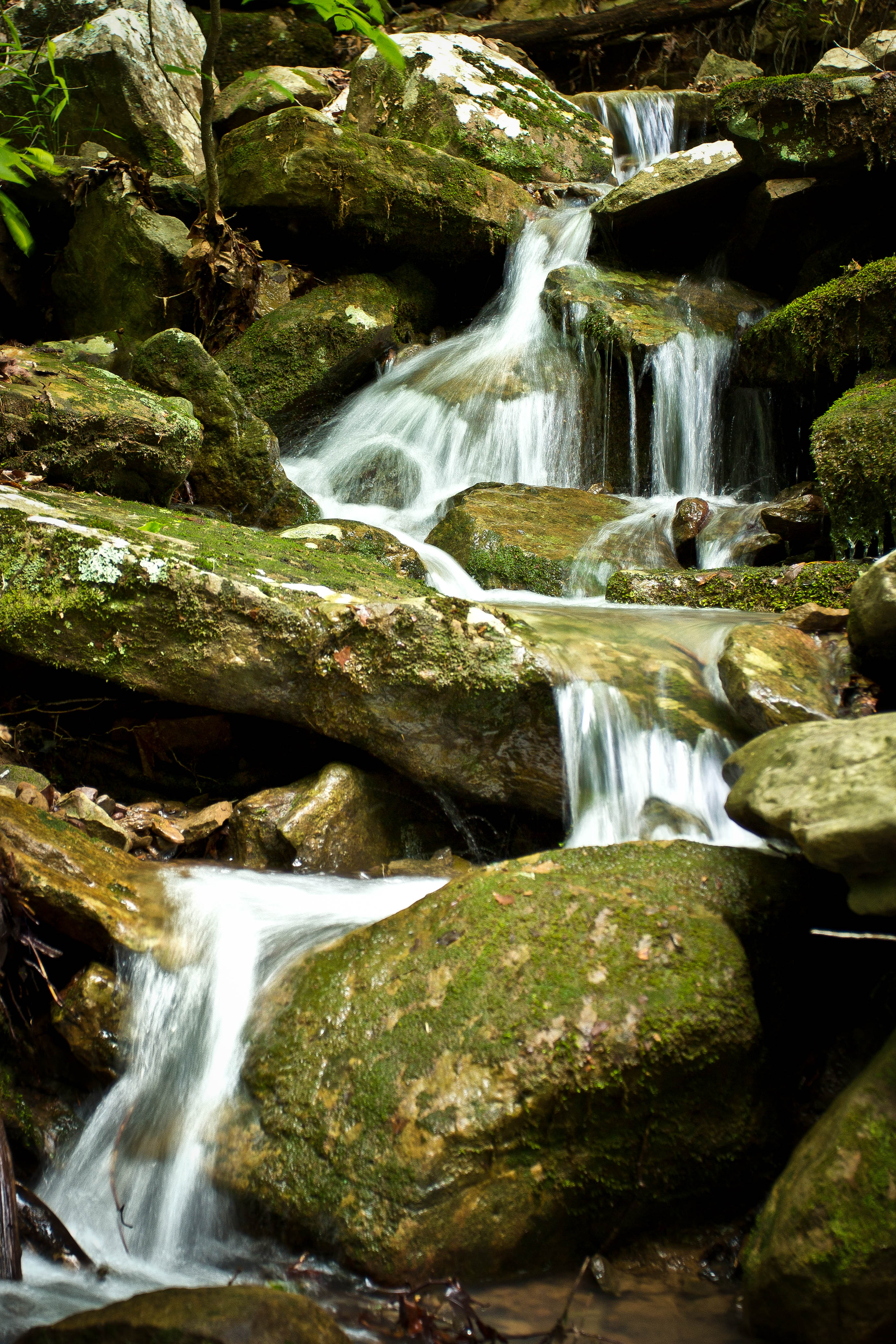
High Bank Twins creek
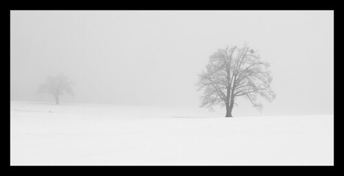
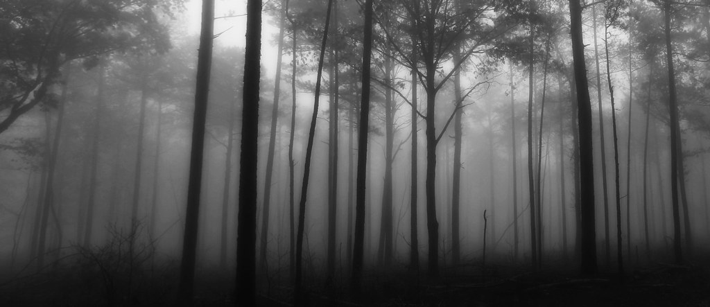
Trees in fog & snow
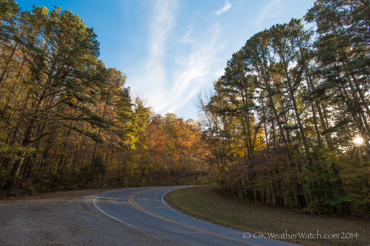
Highway 103
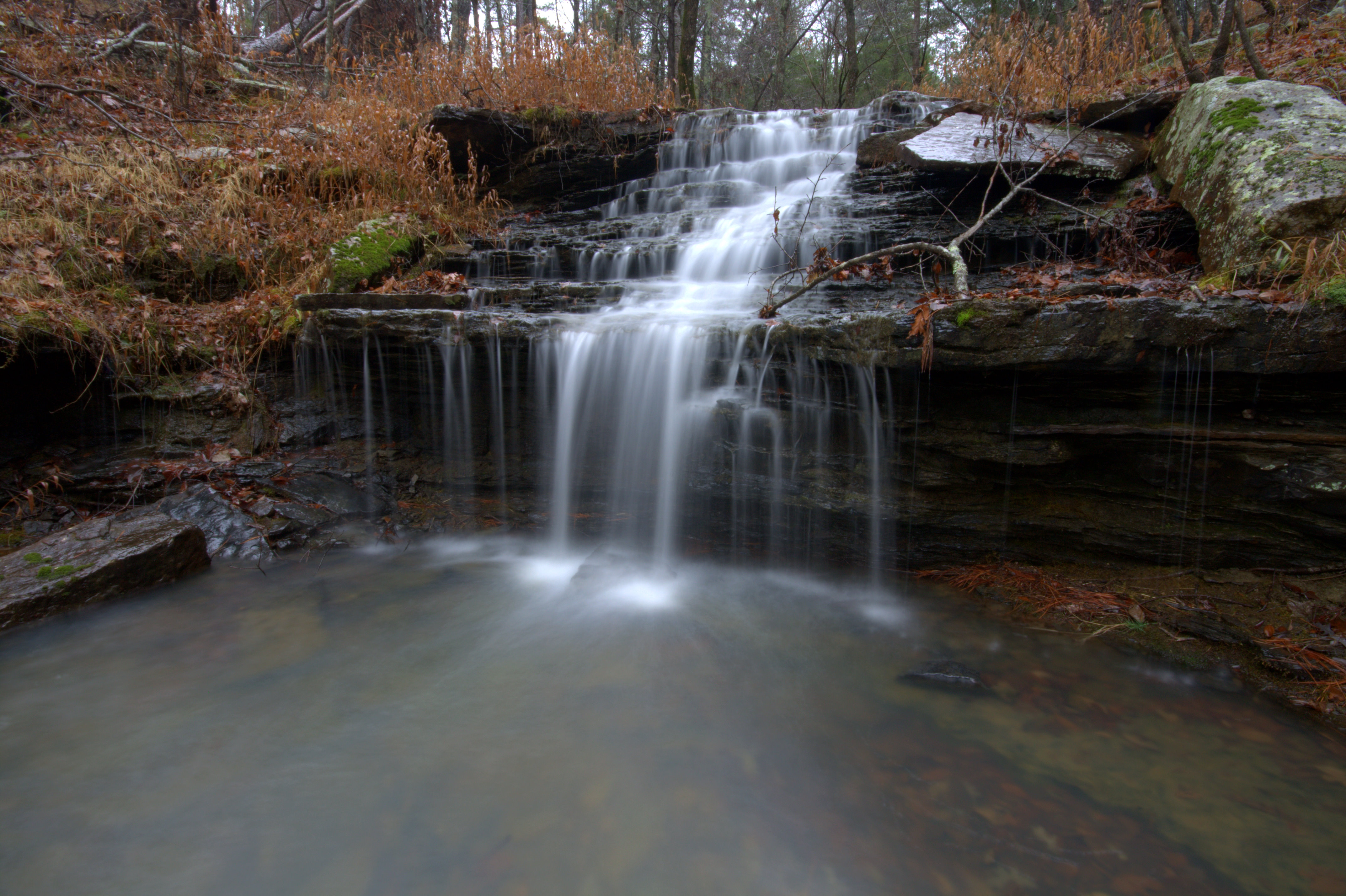
Short Grotto Falls
Haw Creek Falls
Topographic Map of AR-21, Ozone, AR, USA
Find elevation by address:

Places near AR-21, Ozone, AR, USA:
Ozone
Co Rd, Ozone, AR, USA
Co Rd, Ozone, AR, USA
Co Rd, Ozone, AR, USA
Sherman Township
18626 Ar-21
19984 Ar-21
Johnson County
Red Lick Township
Co Rd, Hagarville, AR, USA
Mount Zion
21923 Ar-21
AR-21, Ozone, AR, USA
Mulberry Township
Co Rd, Ozone, AR, USA
State Hwy, Clarksville, AR, USA
Co Rd, Hagarville, AR, USA
Boston Mountains
AR-21, Clarksville, AR, USA
Fallsville
Recent Searches:
- Elevation of Corso Fratelli Cairoli, 35, Macerata MC, Italy
- Elevation of Tallevast Rd, Sarasota, FL, USA
- Elevation of 4th St E, Sonoma, CA, USA
- Elevation of Black Hollow Rd, Pennsdale, PA, USA
- Elevation of Oakland Ave, Williamsport, PA, USA
- Elevation of Pedrógão Grande, Portugal
- Elevation of Klee Dr, Martinsburg, WV, USA
- Elevation of Via Roma, Pieranica CR, Italy
- Elevation of Tavkvetili Mountain, Georgia
- Elevation of Hartfords Bluff Cir, Mt Pleasant, SC, USA