Elevation of Co Rd, Hagarville, AR, USA
Location: United States > Arkansas > Johnson County > Perry Township > Hagarville >
Longitude: -93.32574
Latitude: 35.55101
Elevation: 248m / 814feet
Barometric Pressure: 98KPa
Elevation Map:
Satellite Map:
Related Photos:
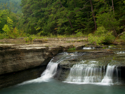
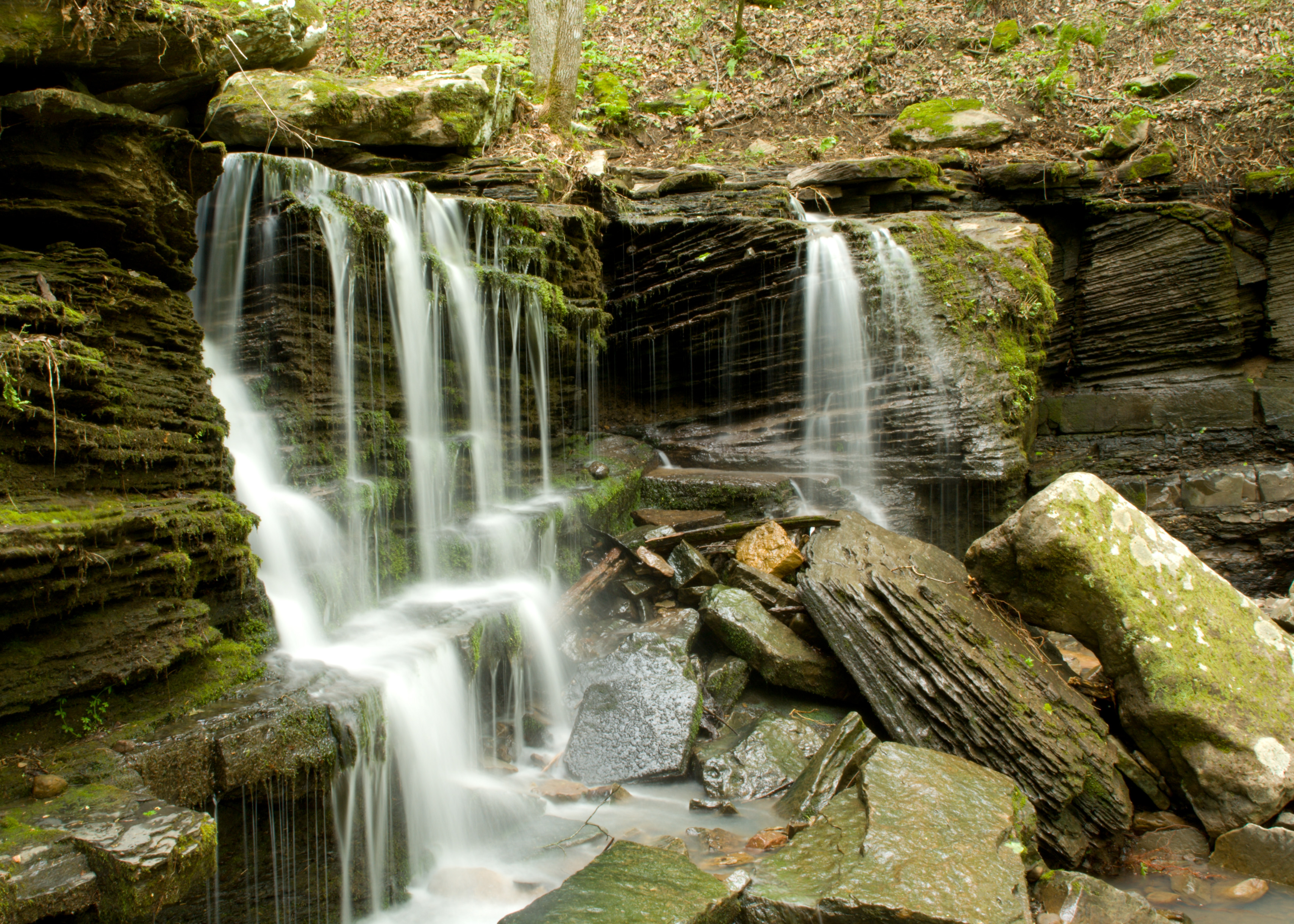
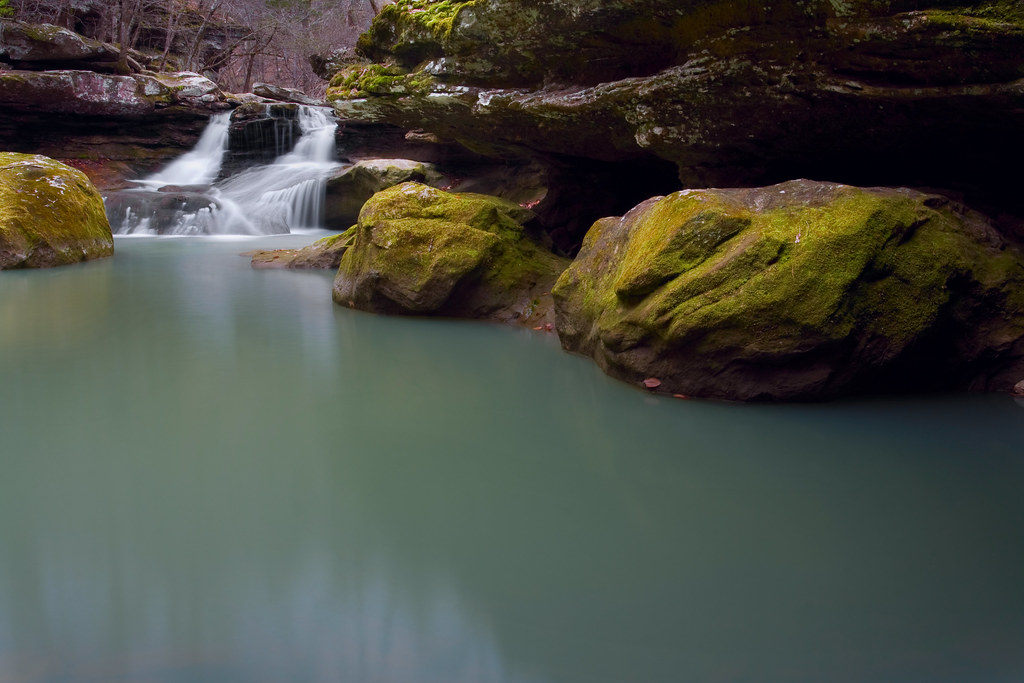
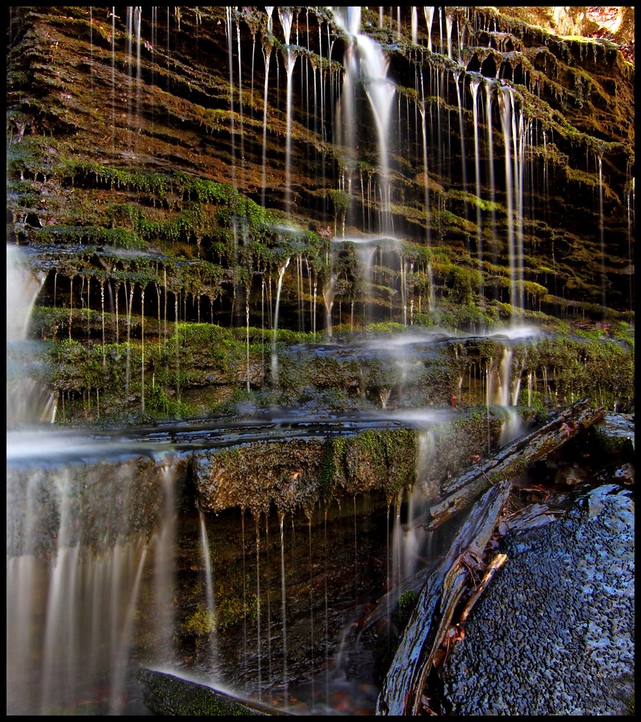
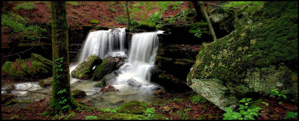
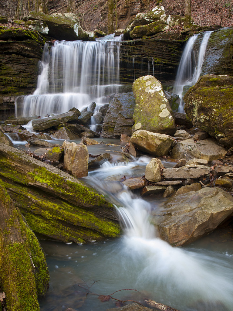
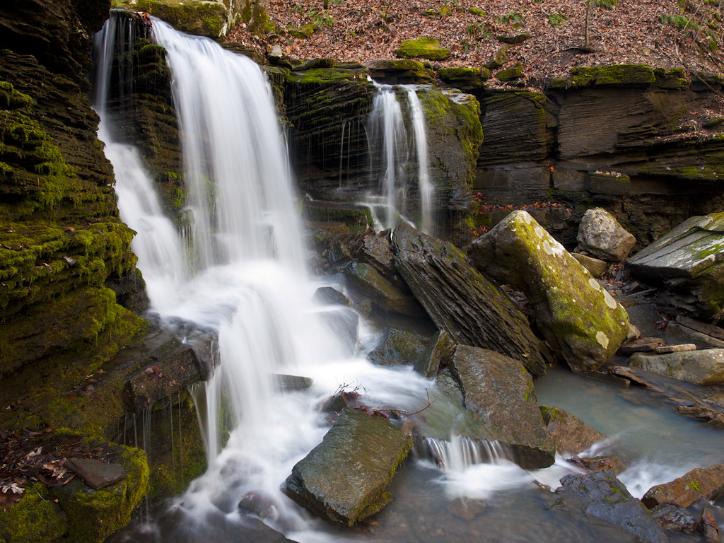
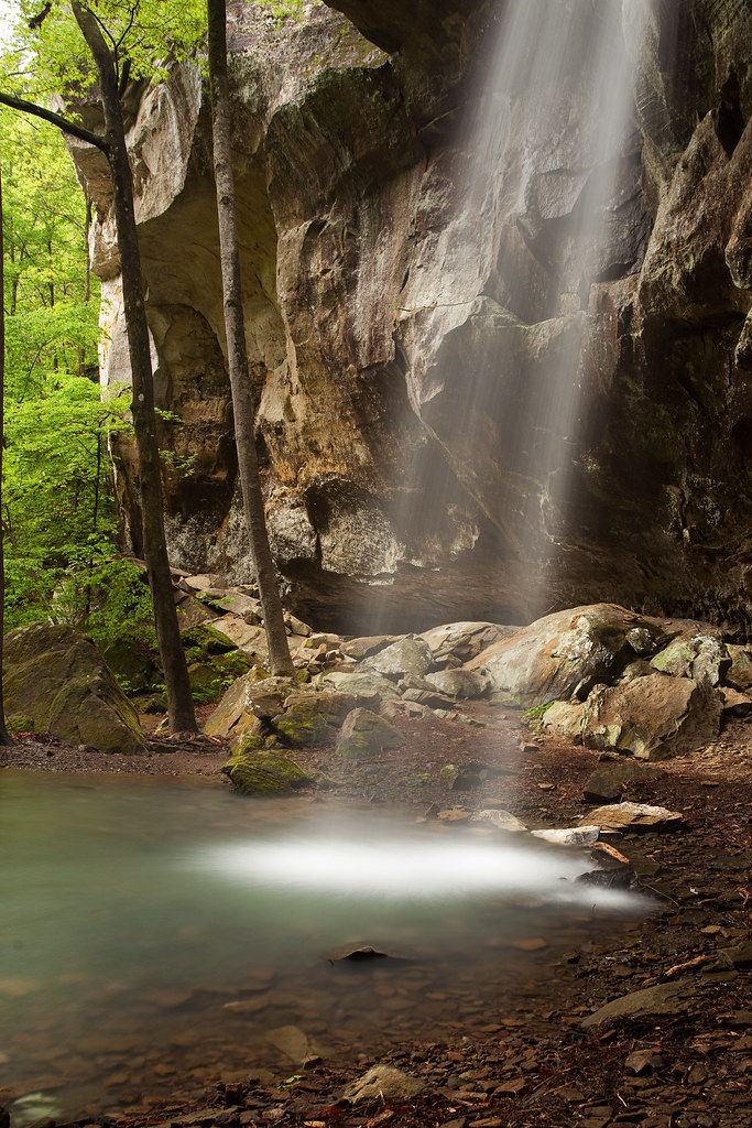
Haw Creek Falls
Haw Creek Falls
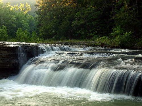
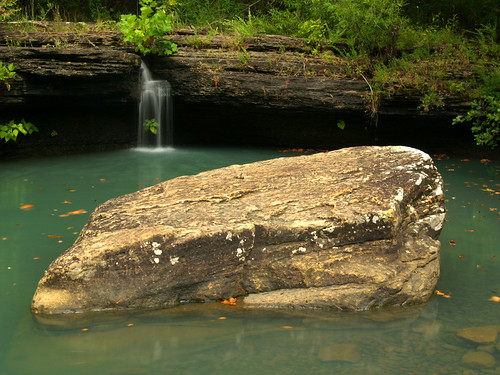
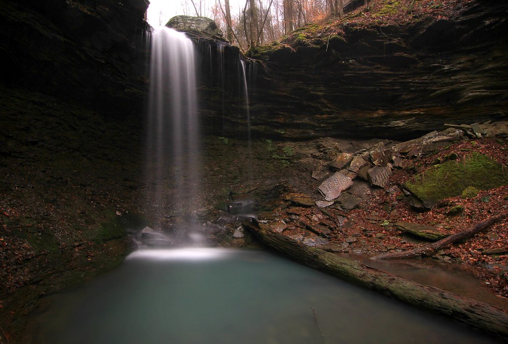
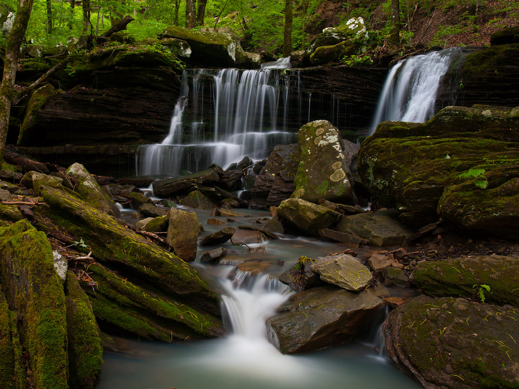
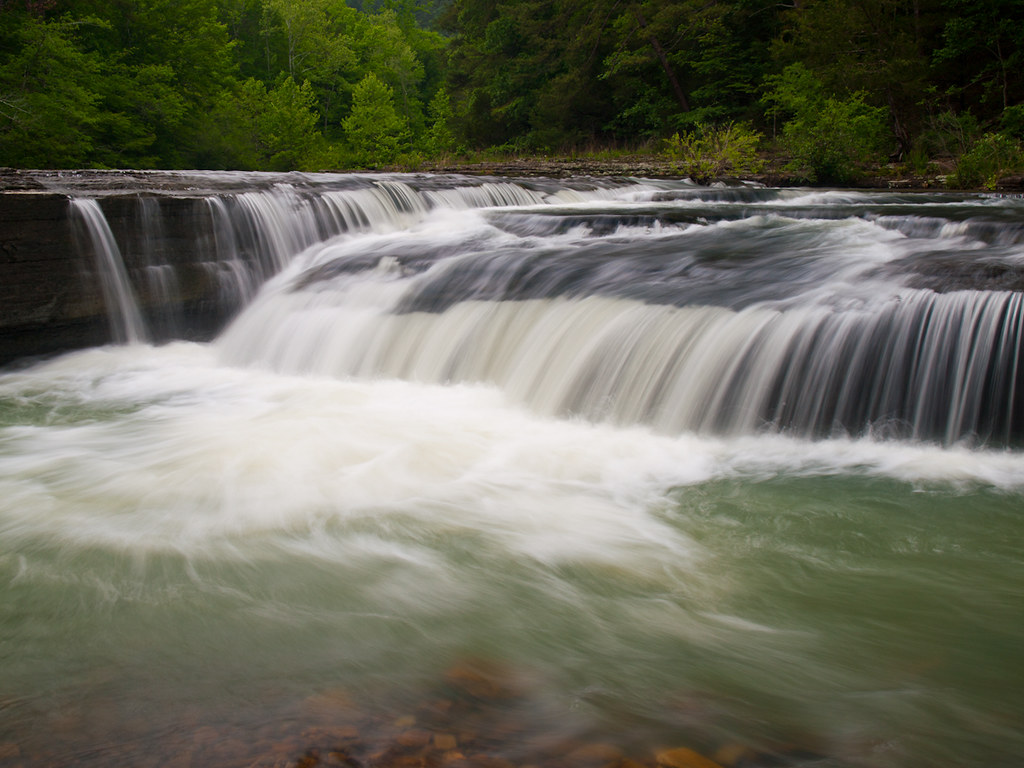
Longpool Falls
Lower Longpool Falls
Longpool Falls (Lower)
Longpool Falls
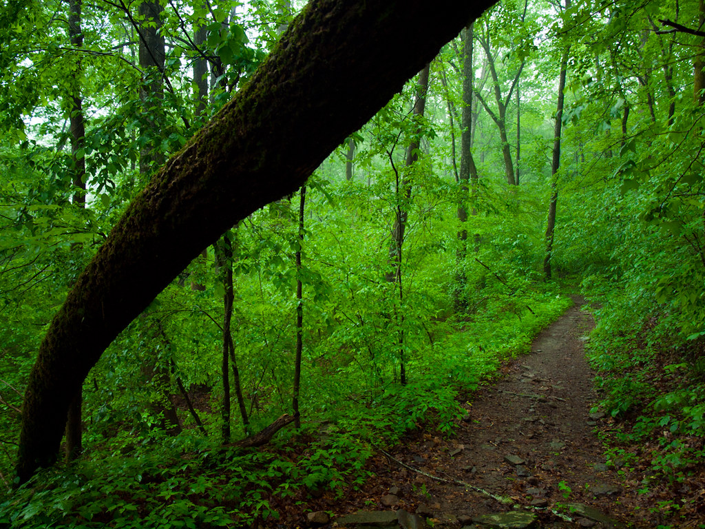
Walk This Way
Haw Creek Falls

Hagarville, AR Country Store
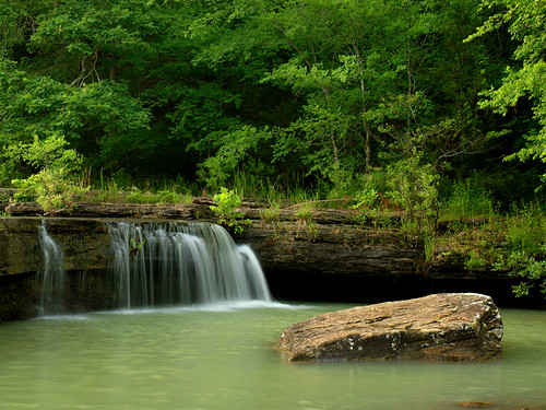
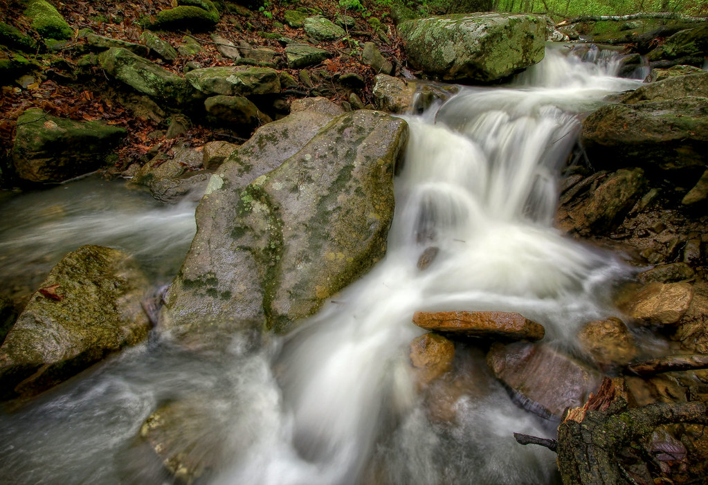
Graves Creek Falls II
North Street view
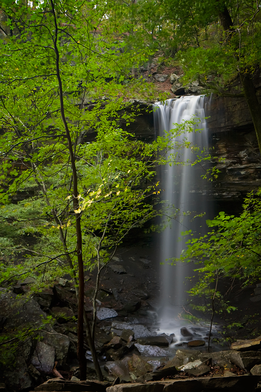
Ozarks Fall
Haw Creek Falls
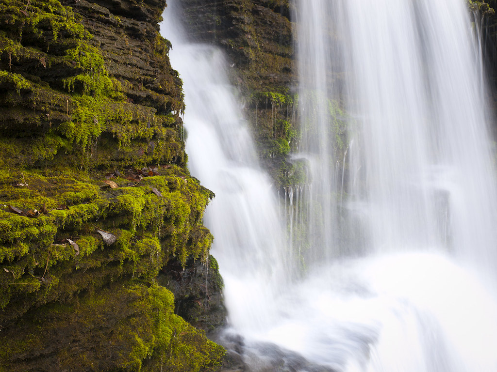
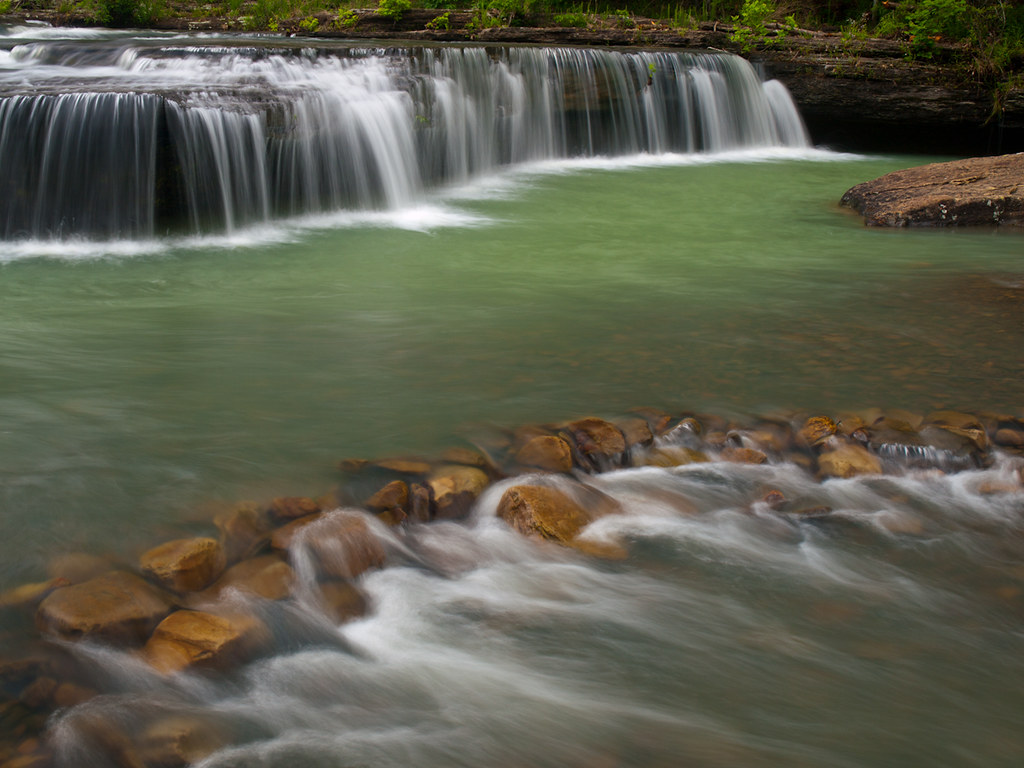
Lower Longpool falls closeup
Lower Longpool Falls
Haw Creek
Downstream from Pam's Grotto

Out Waterfallin'
Lower Longpool Falls
Pack Rat Falls
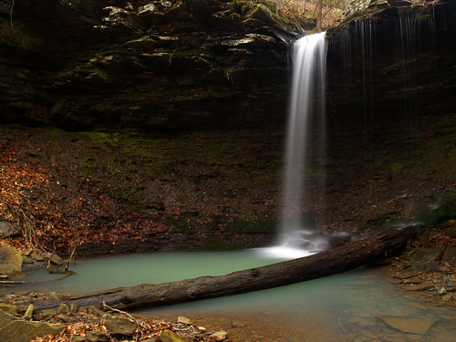
Lower Longpool Falls
Haw creek
Lower Longpool Falls
Lower Longpool Falls
Haw Creek Falls
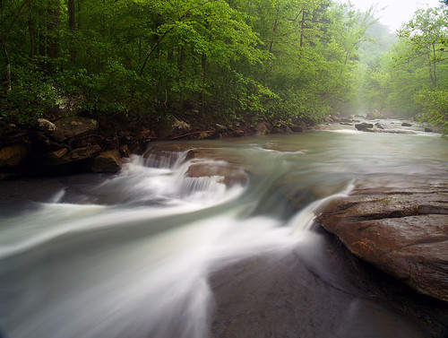
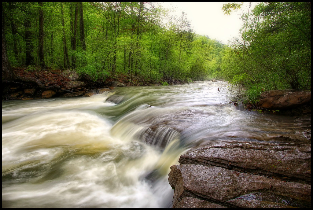
The Big Piney creek
Pam's Grotto II
Haw Creek Falls
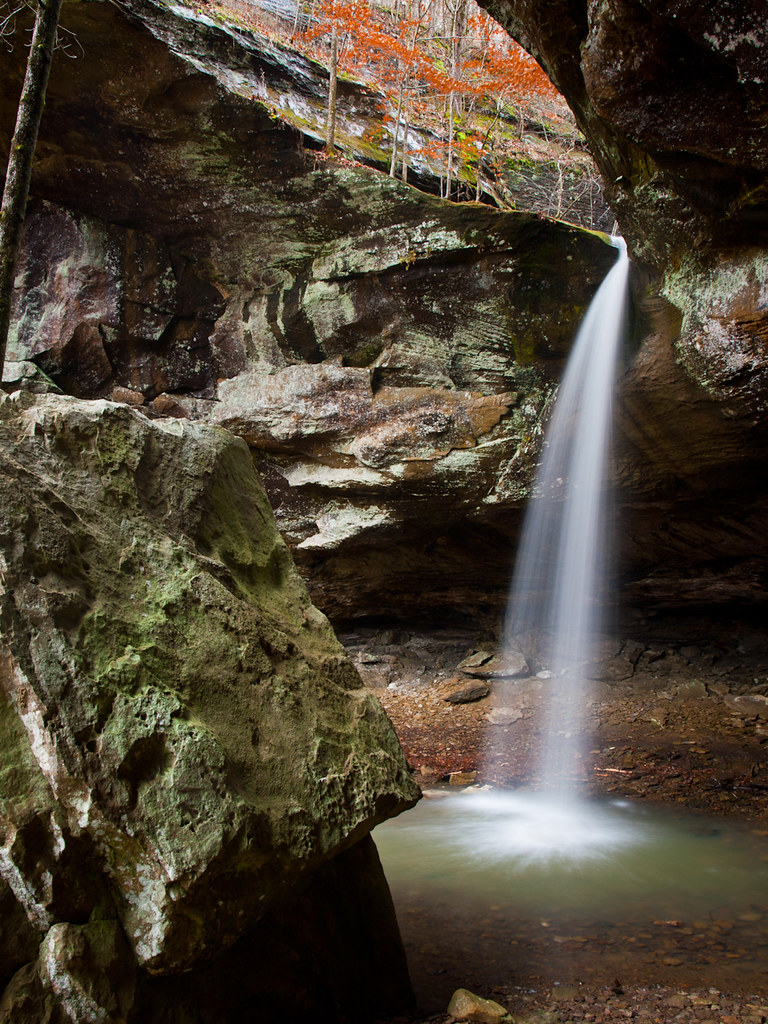
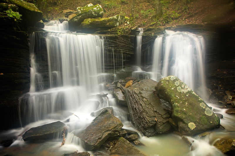
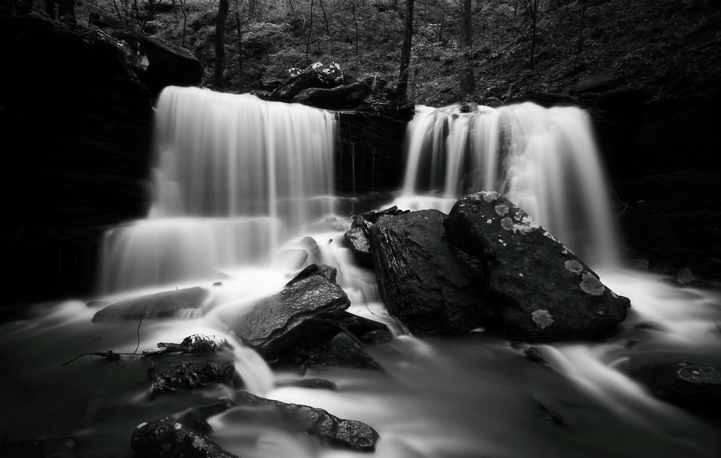
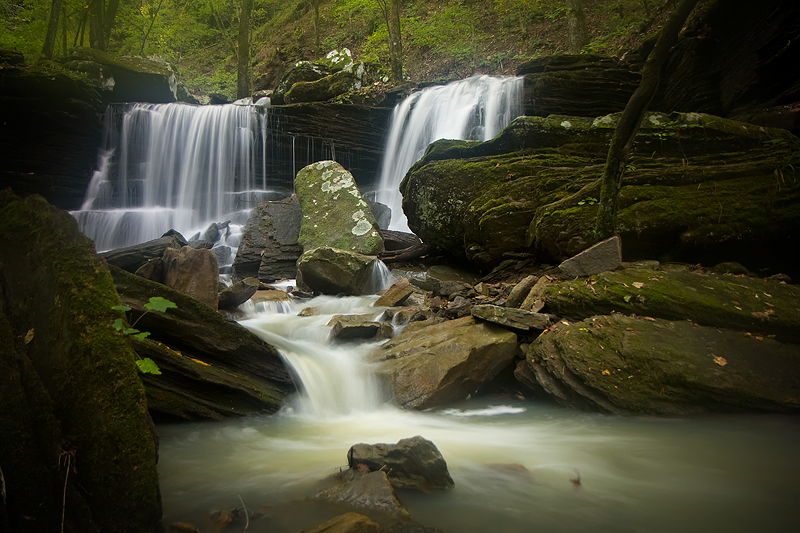
Pam's Grotto Falls
Reflect it!
Pack Rat Falls
Longpool Falls
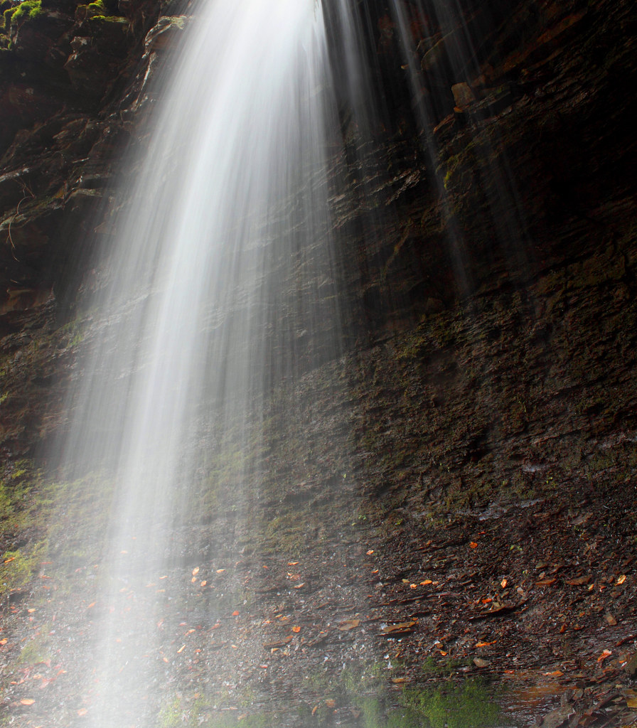
in the spray
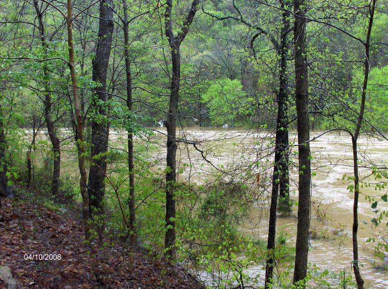
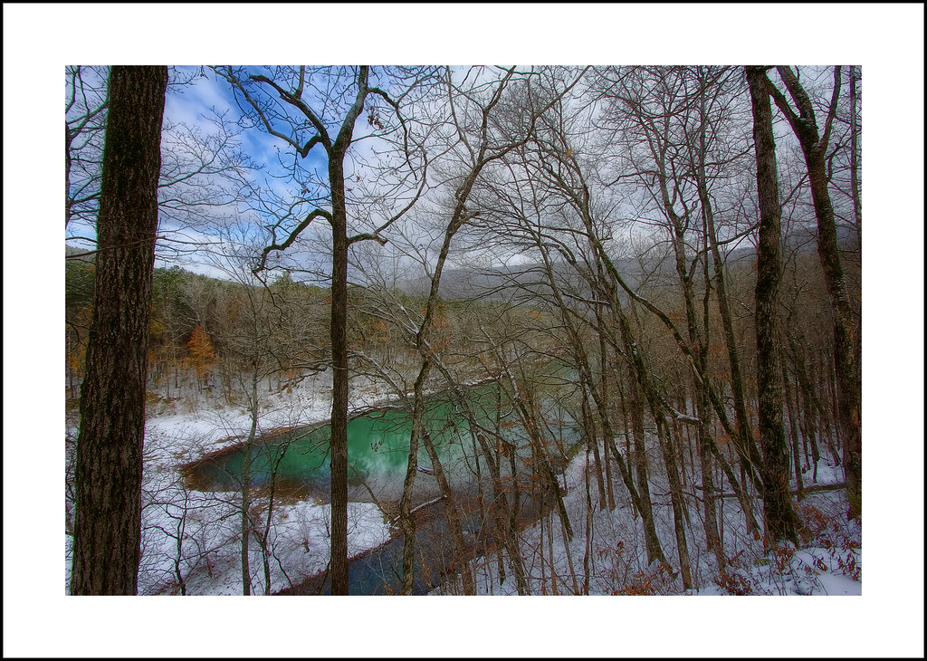
River-2008
Topographic Map of Co Rd, Hagarville, AR, USA
Find elevation by address:

Places near Co Rd, Hagarville, AR, USA:
Hagarville
State Hwy, Lamar, AR, USA
State Hwy, Lamar, AR, USA
Hickey Township
Parking For Arkansas Sphinx
Perry Township
Red Lick Township
State Hwy, Clarksville, AR, USA
AR-21, Clarksville, AR, USA
Pittsburg Township
AR-, Dover, AR, USA
2573 Co Rd 3800
Ross Mountain Rd, Lamar, AR, USA
Co Rd, Hagarville, AR, USA
Mount Zion
Lamar
Co Rd, Ozone, AR, USA
Co Rd, Ozone, AR, USA
Martin Township
Co Rd, London, AR, USA
Recent Searches:
- Elevation of Spaceport America, Co Rd A, Truth or Consequences, NM, USA
- Elevation of Warwick, RI, USA
- Elevation of Fern Rd, Whitmore, CA, USA
- Elevation of 62 Abbey St, Marshfield, MA, USA
- Elevation of Fernwood, Bradenton, FL, USA
- Elevation of Felindre, Swansea SA5 7LU, UK
- Elevation of Leyte Industrial Development Estate, Isabel, Leyte, Philippines
- Elevation of W Granada St, Tampa, FL, USA
- Elevation of Pykes Down, Ivybridge PL21 0BY, UK
- Elevation of Jalan Senandin, Lutong, Miri, Sarawak, Malaysia