Elevation of Horsehead Township, AR, USA
Location: United States > Arkansas > Johnson County >
Longitude: -93.601520
Latitude: 35.5340824
Elevation: 166m / 545feet
Barometric Pressure: 99KPa
Elevation Map:
Satellite Map:
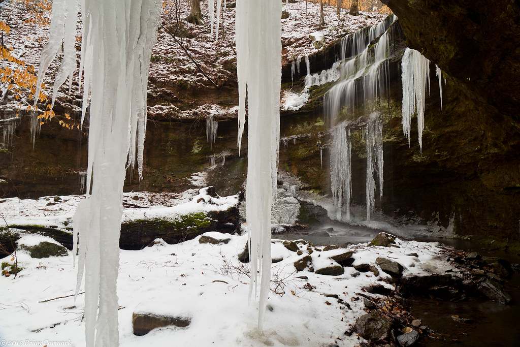
Related Photos:
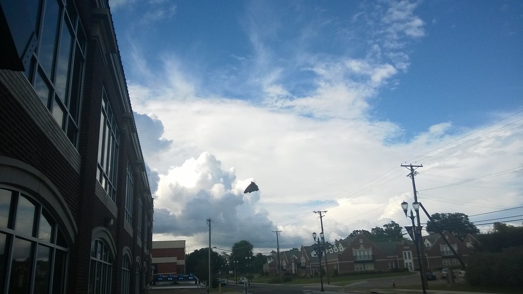
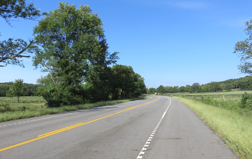
North Street view
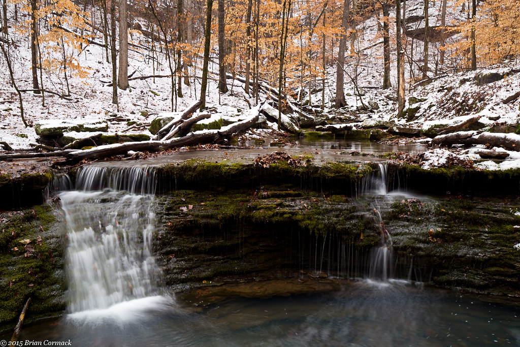
Ozarks Fall
Spadra Creek

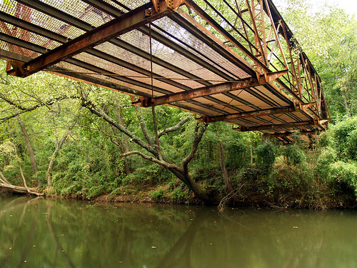
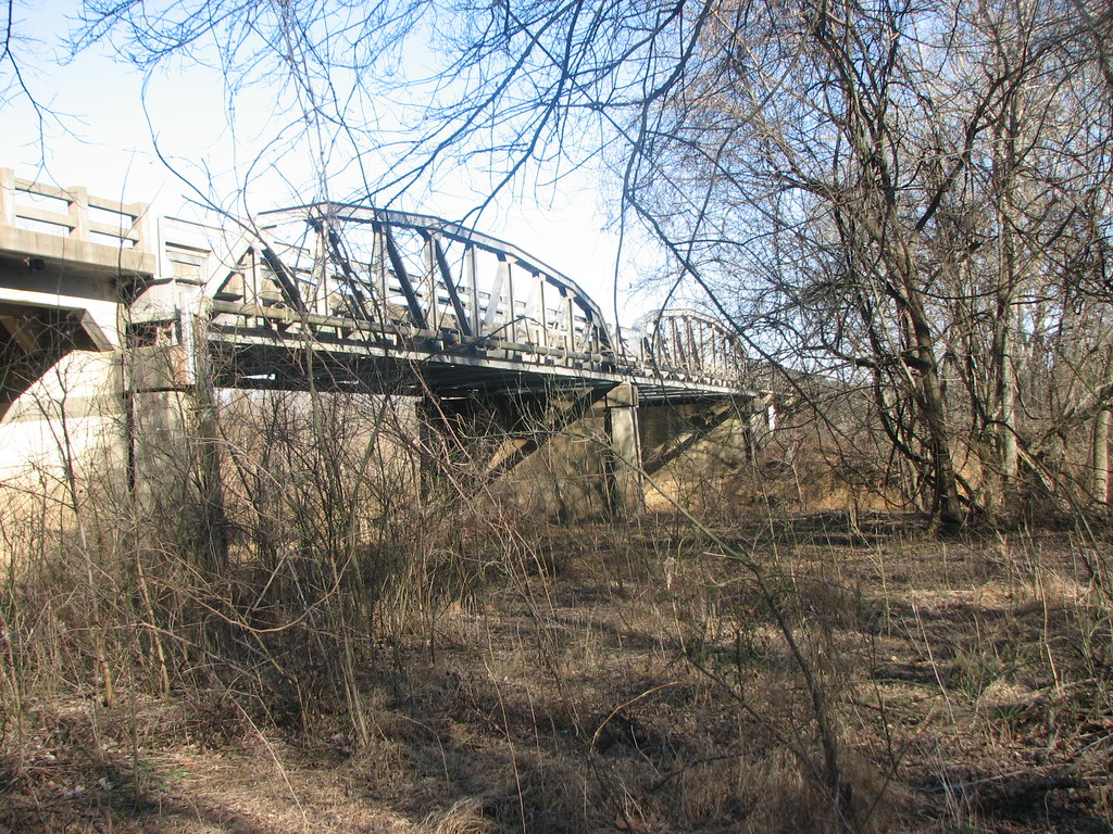
Mystery Bridge-Deck View
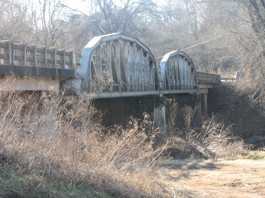
US 64-Horsehead Creek Side View-Close
Side View-Horsehead Creek
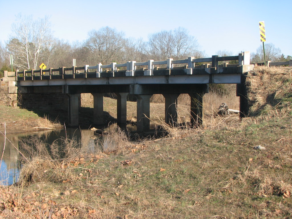
US 64-Horsehead Creek-Side View
Double Waterfall with a double leaf swirly on an unnamed creek somewhere in the Ozarks

Creek under Highway 103

20151007_184203_Richtone(HDR)
Unnamed falls on an unnamed creek
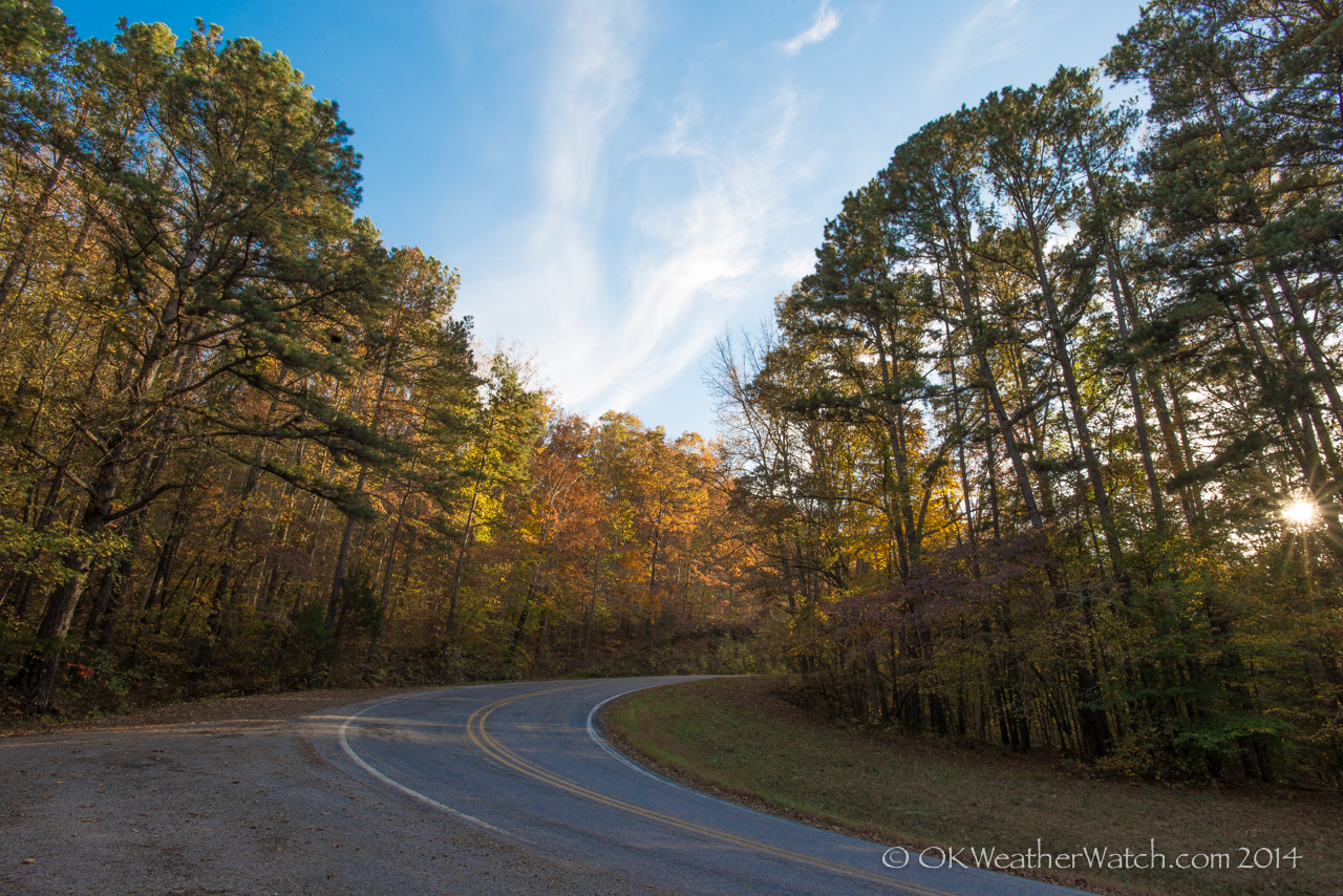
Highway 103
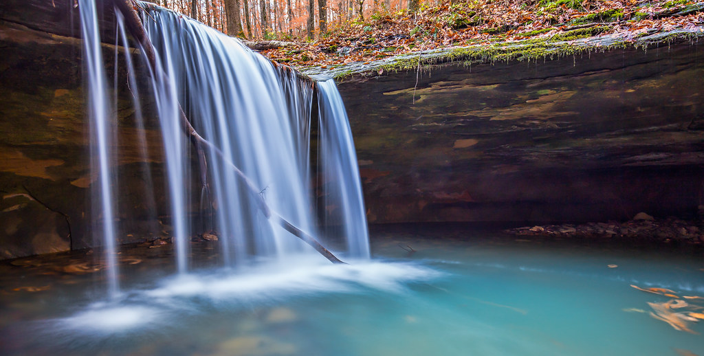
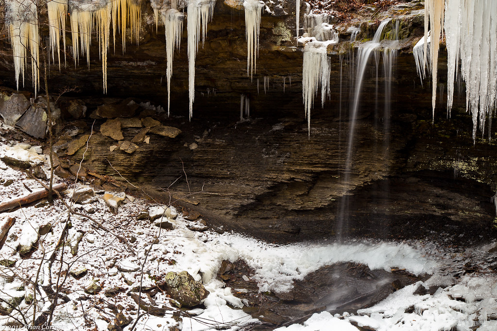
Short Grotto Falls
Short Grotto Falls
Short Grotto Falls
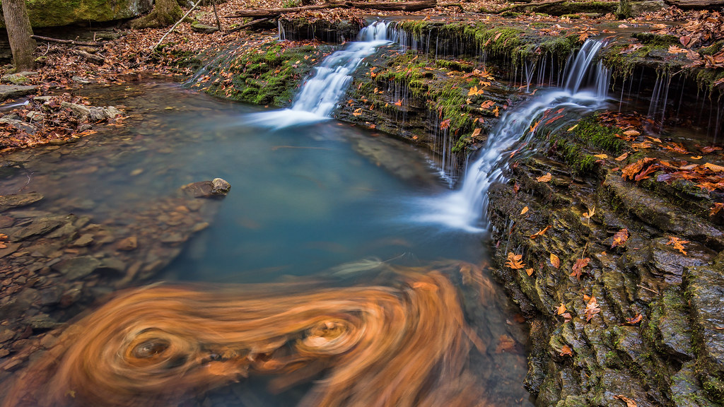
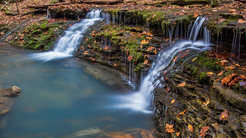
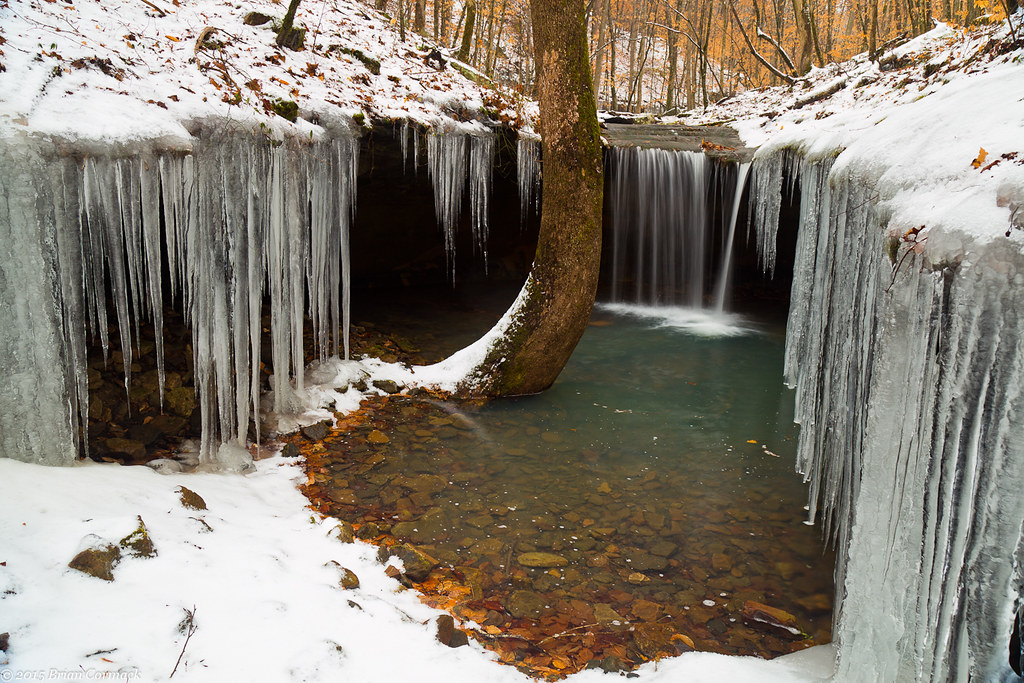
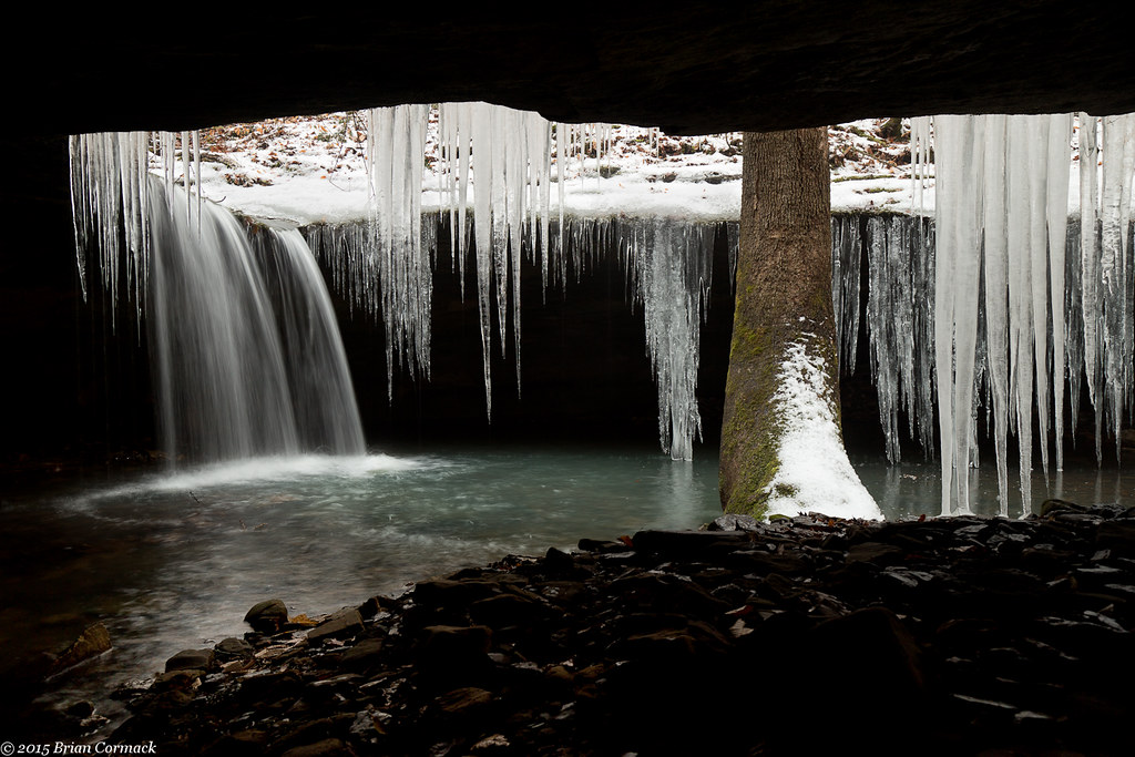
Amy Falls
Slip and Slide
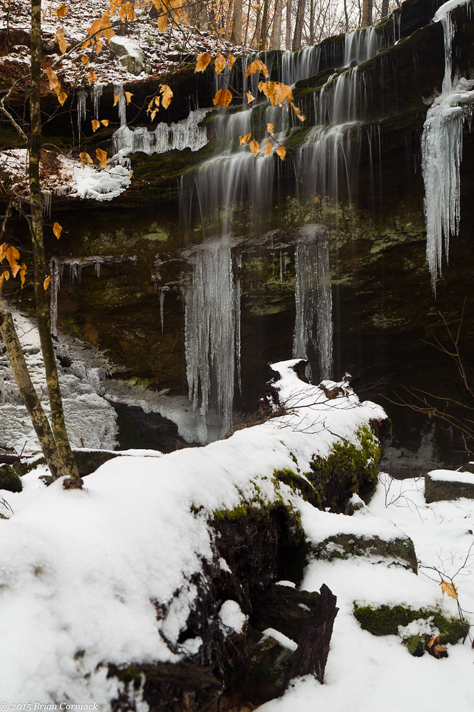
Amy Falls
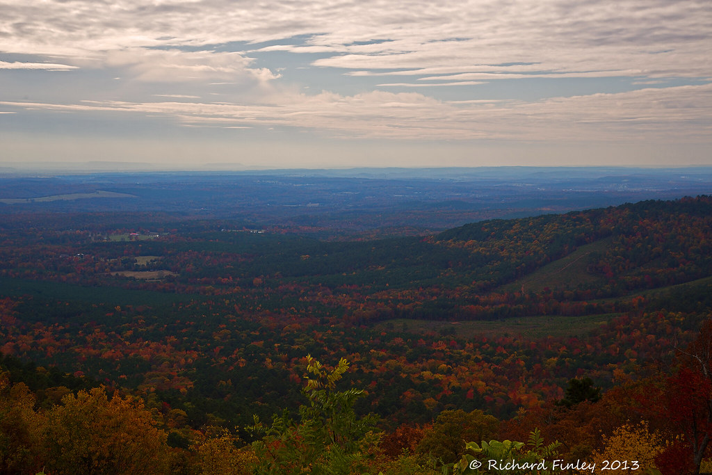
Arkansas River Valley Landscape (Johnson County, Arkansas)
Amy Falls
Topographic Map of Horsehead Township, AR, USA
Find elevation by address:

Places in Horsehead Township, AR, USA:
Places near Horsehead Township, AR, USA:
Pvt Rd, Clarksville, AR, USA
Stonewall Township
Hunt
Co Rd, Clarksville, AR, USA
1591 Co Rd 3080
1314 Co Rd 3020
County Road 2260
Oark, AR, USA
Batson Township
Prairie Township
County Road 4160
Ward Township
Hartman
Burlison St, Hartman, AR, USA
Co Rd, Hartman, AR, USA
US-64, Coal Hill, AR, USA
Coal Hill
Johnson County
Grant Township
Co Rd, Hartman, AR, USA
Recent Searches:
- Elevation of Slanický ostrov, 01 Námestovo, Slovakia
- Elevation of Spaceport America, Co Rd A, Truth or Consequences, NM, USA
- Elevation of Warwick, RI, USA
- Elevation of Fern Rd, Whitmore, CA, USA
- Elevation of 62 Abbey St, Marshfield, MA, USA
- Elevation of Fernwood, Bradenton, FL, USA
- Elevation of Felindre, Swansea SA5 7LU, UK
- Elevation of Leyte Industrial Development Estate, Isabel, Leyte, Philippines
- Elevation of W Granada St, Tampa, FL, USA
- Elevation of Pykes Down, Ivybridge PL21 0BY, UK