Elevation of Pvt Rd, Clarksville, AR, USA
Location: United States > Arkansas > Johnson County > Horsehead Township >
Longitude: -93.632026
Latitude: 35.554835
Elevation: 188m / 617feet
Barometric Pressure: 99KPa
Elevation Map:
Satellite Map:
Related Photos:

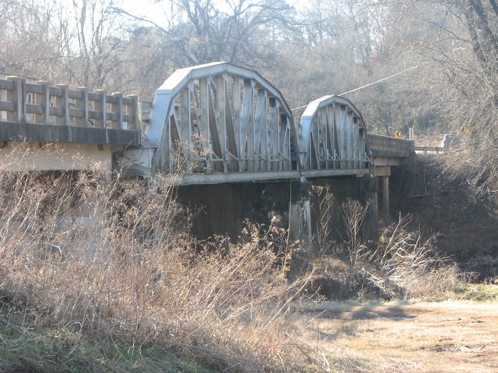
Mystery Bridge-Deck View
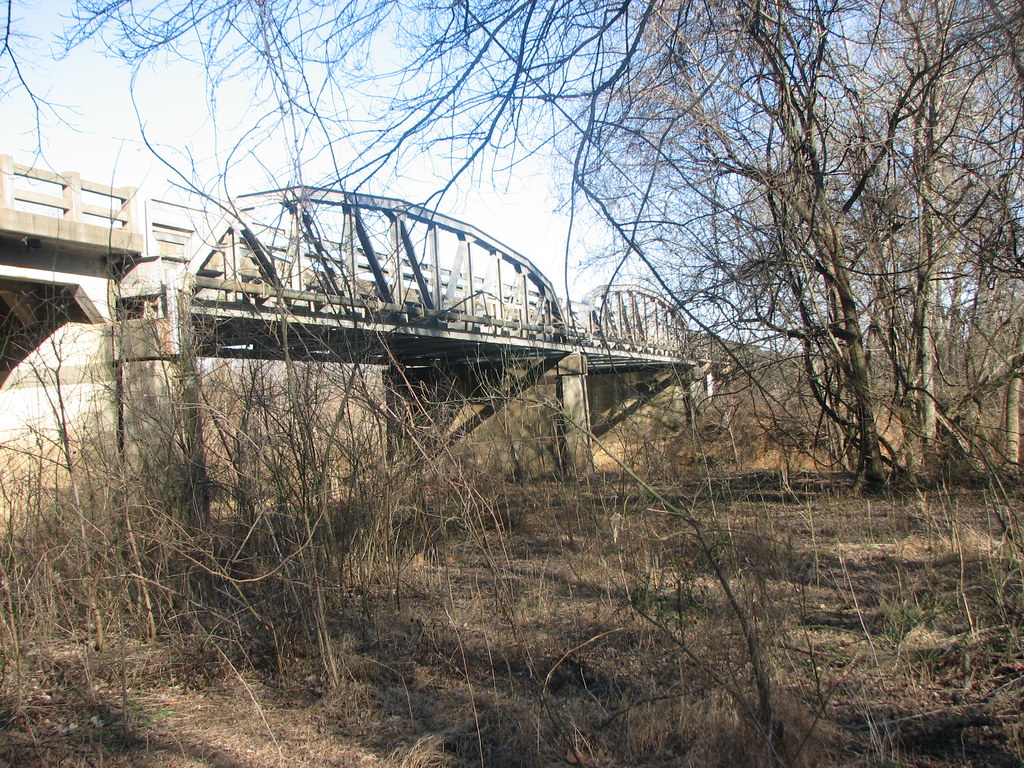
US 64-Horsehead Creek Side View-Close
US 64-Horsehead Creek-Side View
Side View-Horsehead Creek
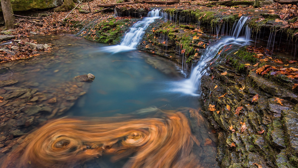
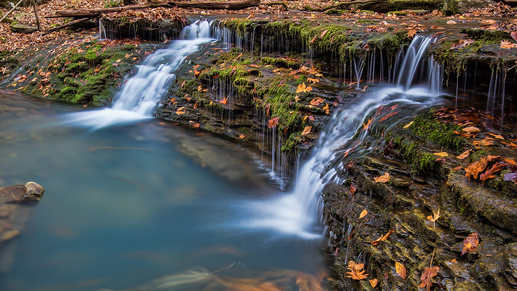
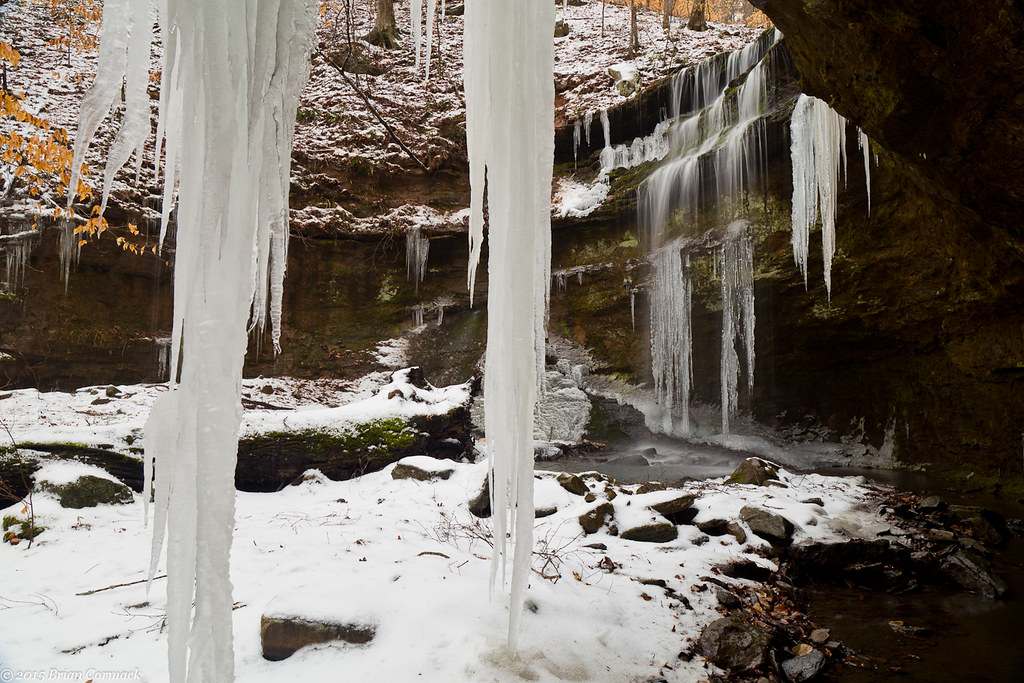
Double Waterfall with a double leaf swirly on an unnamed creek somewhere in the Ozarks

Creek under Highway 103
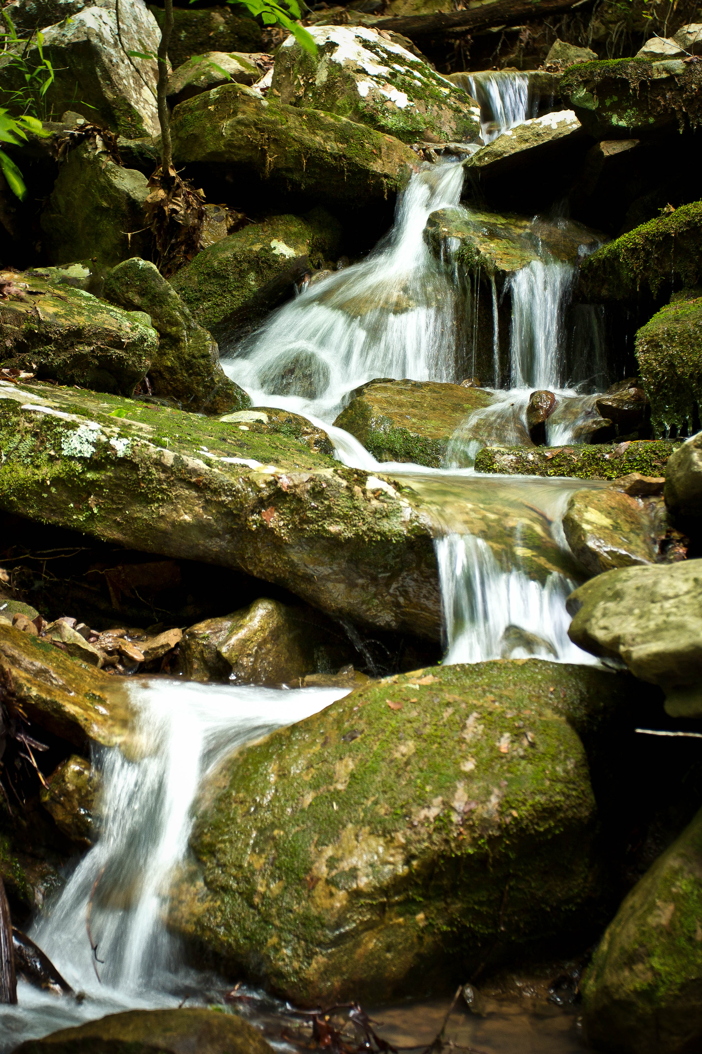
Unnamed falls on an unnamed creek
High Bank Twins creek
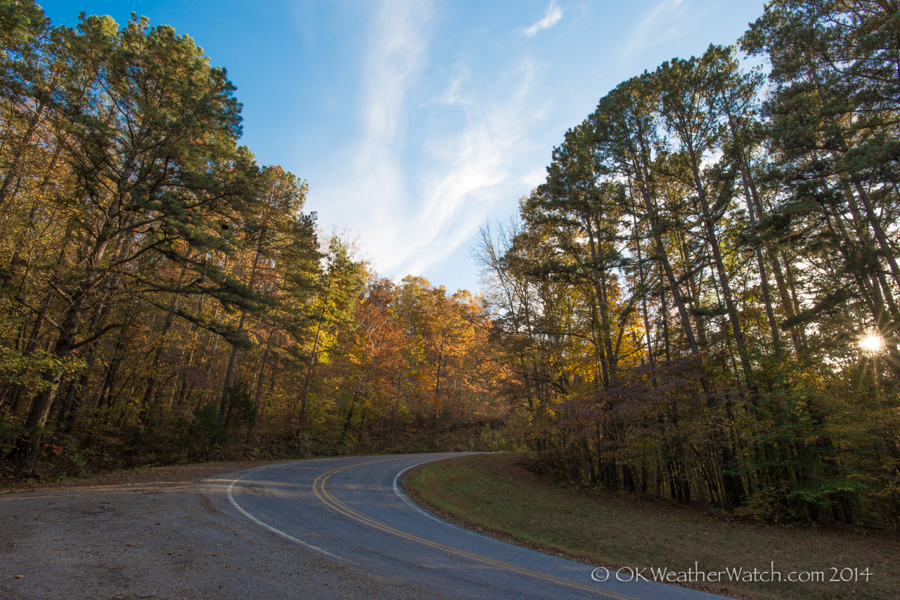
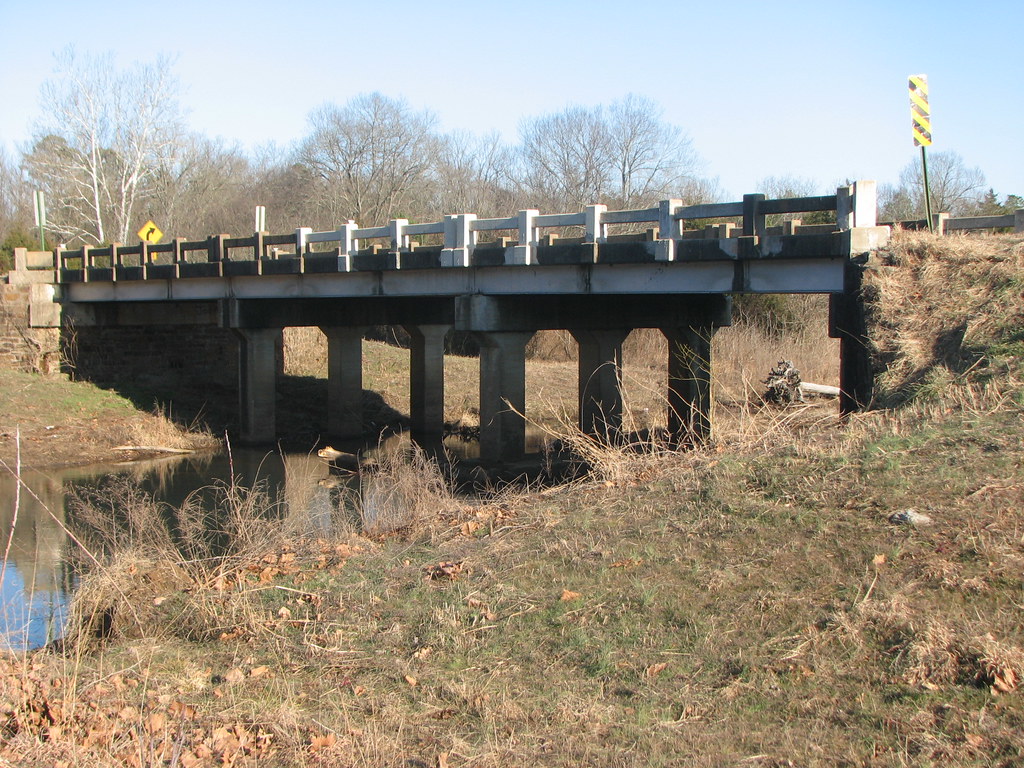
Highway 103
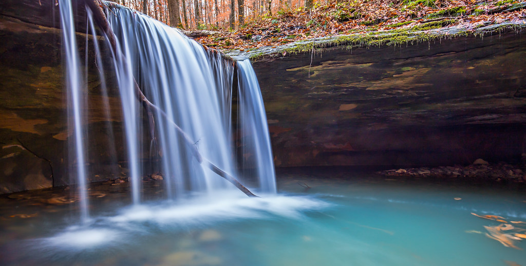
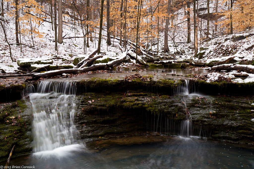
Short Grotto Falls
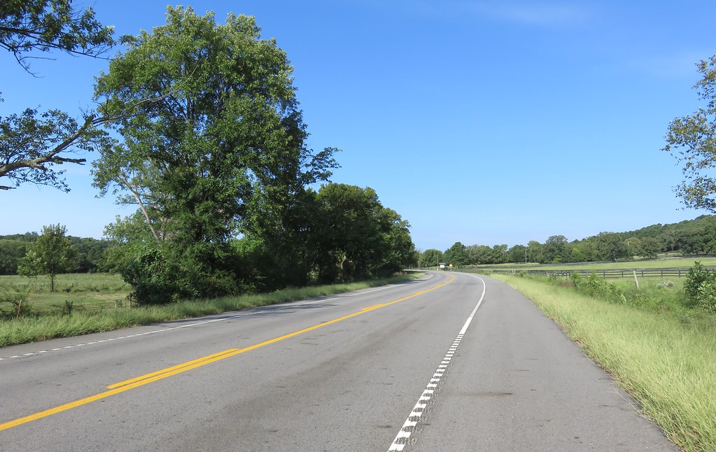
Arkansas River Valley Landscape (Johnson County, Arkansas)
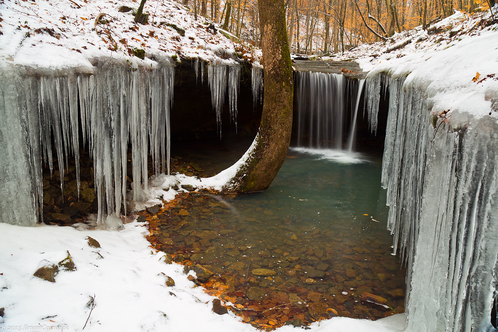
Short Grotto Falls
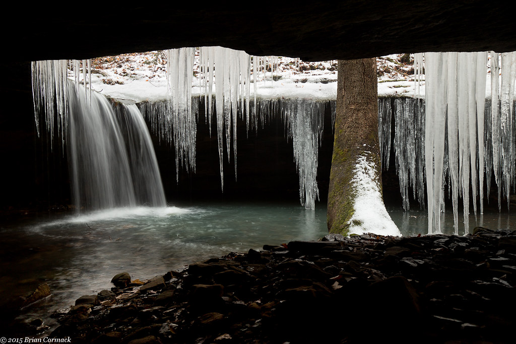
Short Grotto Falls
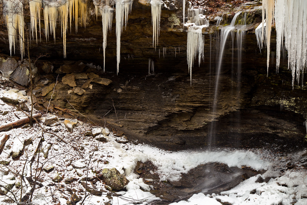
Amy Falls
Slip and Slide
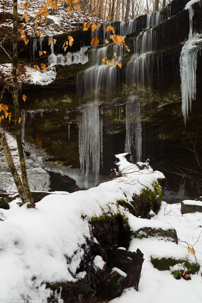
Amy Falls
Amy Falls
Topographic Map of Pvt Rd, Clarksville, AR, USA
Find elevation by address:

Places near Pvt Rd, Clarksville, AR, USA:
Stonewall Township
Horsehead Township
Hunt
1591 Co Rd 3080
Oark, AR, USA
Batson Township
County Road 4160
1314 Co Rd 3020
Co Rd, Clarksville, AR, USA
Ward Township
Hartman
County Road 2260
US-64, Coal Hill, AR, USA
Burlison St, Hartman, AR, USA
Coal Hill
Grant Township
Prairie Township
1047 Co Rd 5099
1047 Co Rd 5099
Co Rd, Ozark, AR, USA
Recent Searches:
- Elevation of Rojo Ct, Atascadero, CA, USA
- Elevation of Flagstaff Drive, Flagstaff Dr, North Carolina, USA
- Elevation of Avery Ln, Lakeland, FL, USA
- Elevation of Woolwine, VA, USA
- Elevation of Lumagwas Diversified Farmers Multi-Purpose Cooperative, Lumagwas, Adtuyon, RV32+MH7, Pangantucan, Bukidnon, Philippines
- Elevation of Homestead Ridge, New Braunfels, TX, USA
- Elevation of Orchard Road, Orchard Rd, Marlborough, NY, USA
- Elevation of 12 Hutchinson Woods Dr, Fletcher, NC, USA
- Elevation of Holloway Ave, San Francisco, CA, USA
- Elevation of Norfolk, NY, USA