Elevation of Hunt, AR, USA
Location: United States > Arkansas > Johnson County > Stonewall Township >
Longitude: -93.658801
Latitude: 35.5289724
Elevation: 186m / 610feet
Barometric Pressure: 99KPa
Elevation Map:
Satellite Map:
Related Photos:

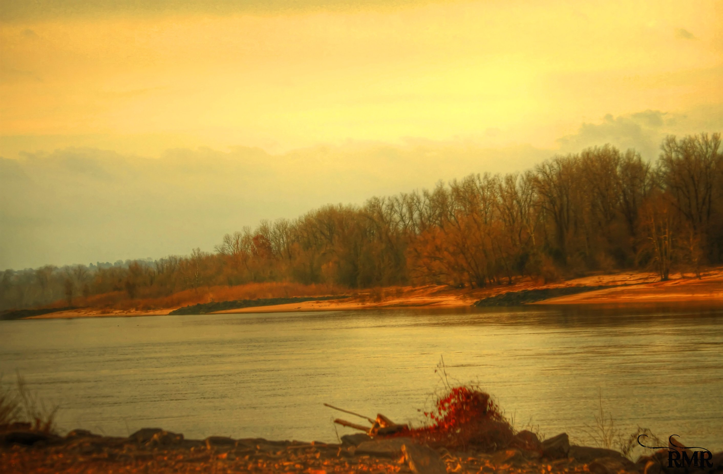
A moment in the golden hour
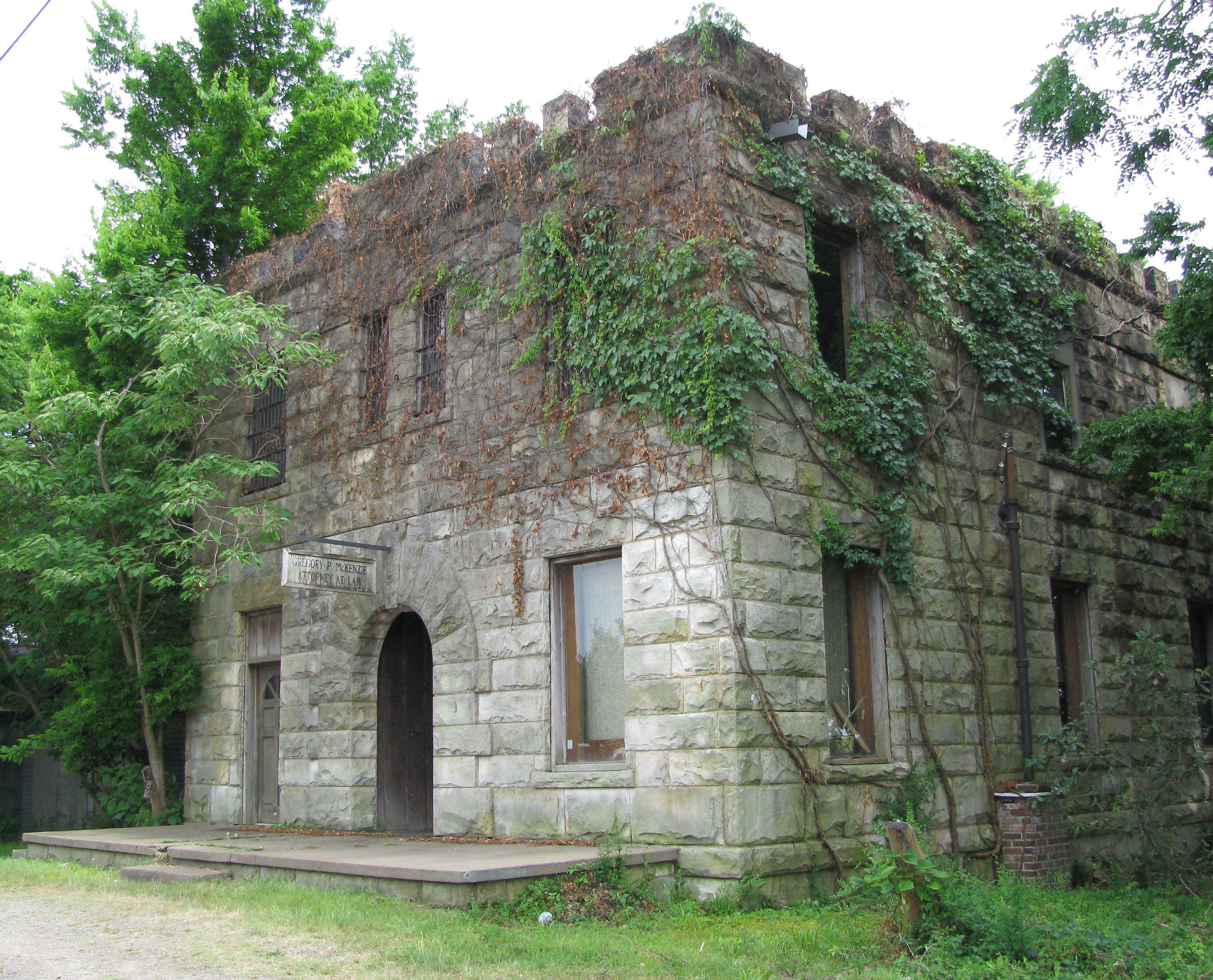
Attorney at Law
Drivers view
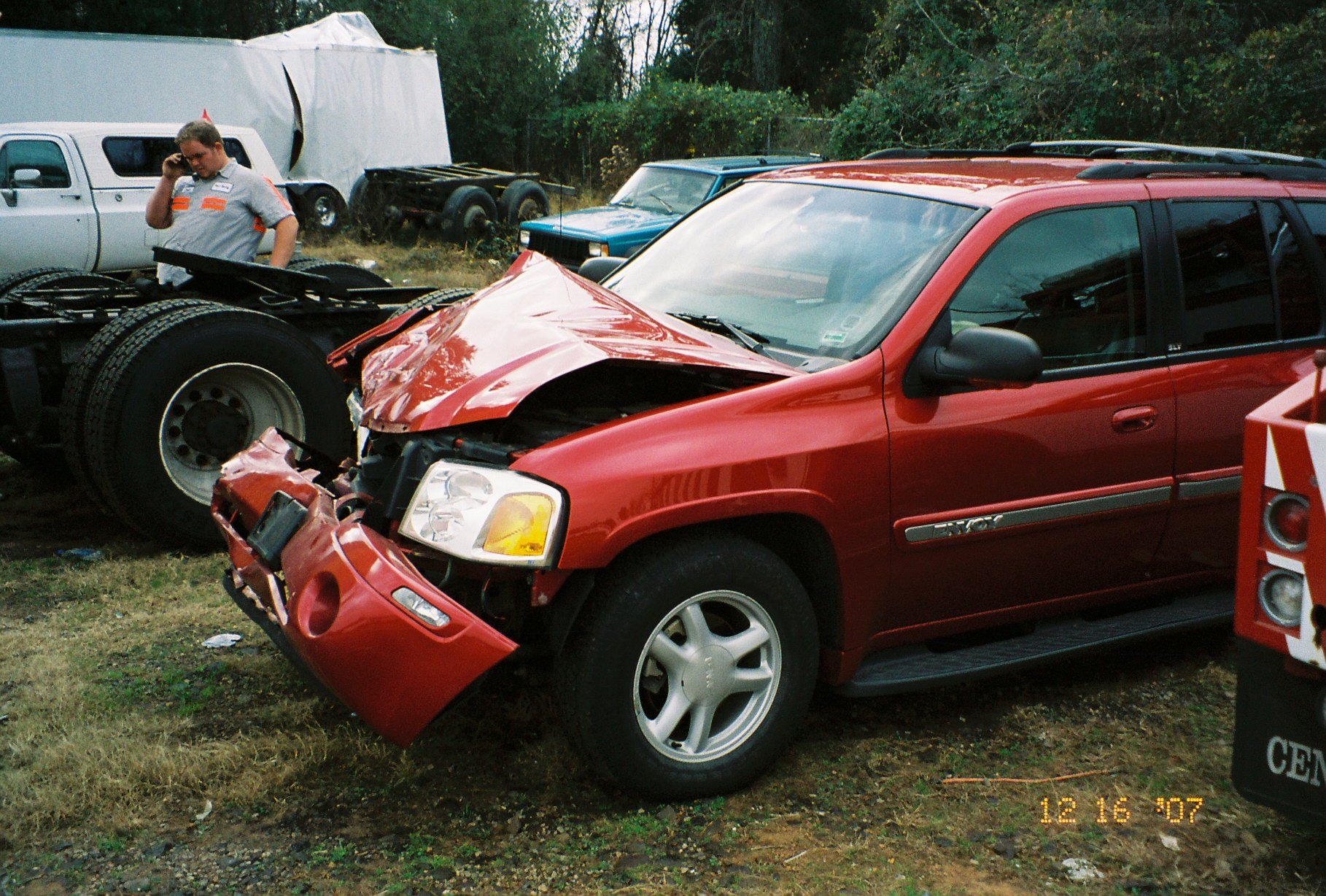
Front View

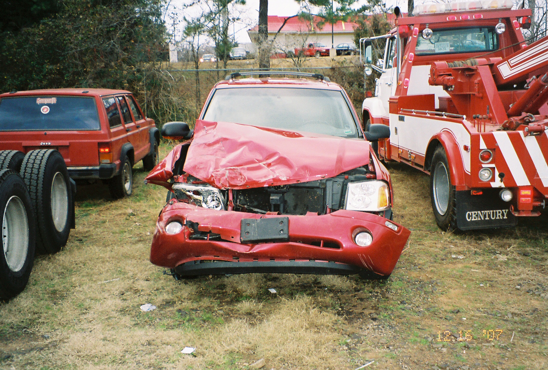
Point of impact

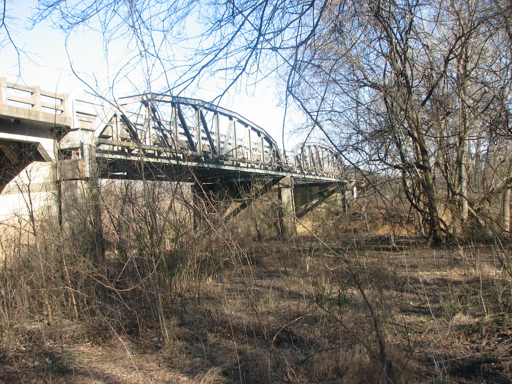
Mystery Bridge-Deck View
US 64-Horsehead Creek Side View-Close
Side View-Horsehead Creek
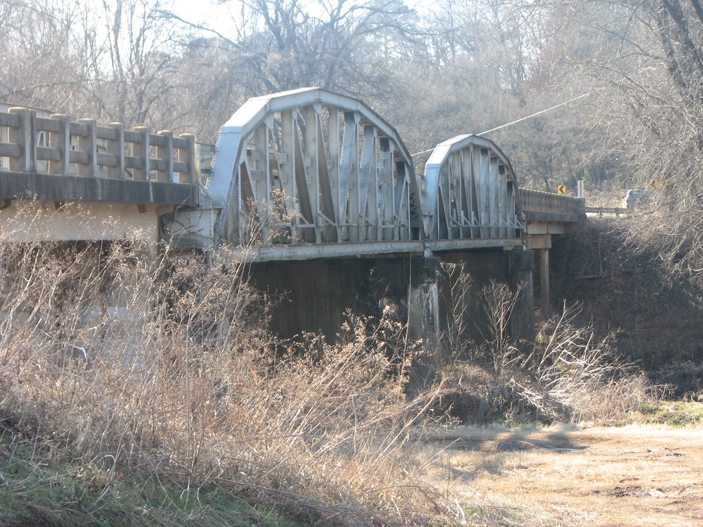
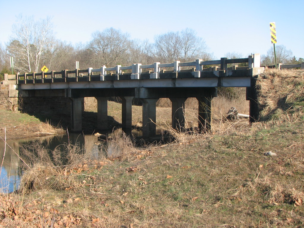
US 64-Horsehead Creek-Side View
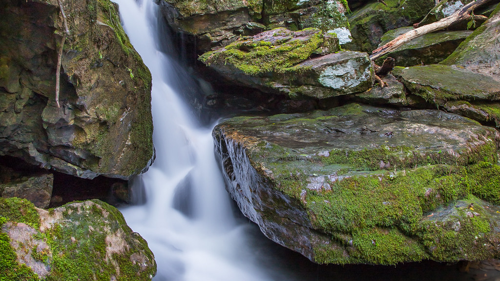
Unnamed Waterfall Closeup
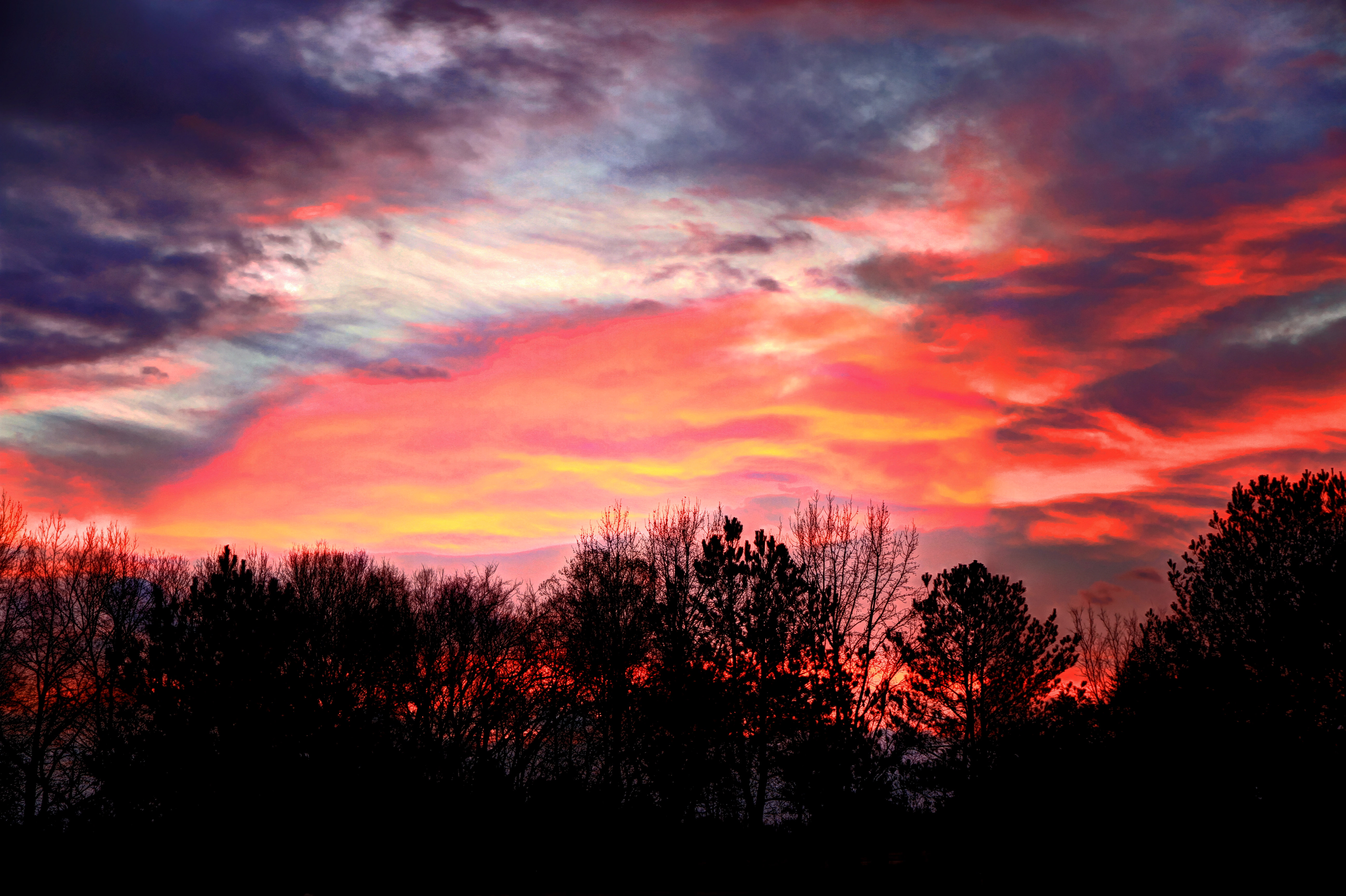
Firery Sunrise
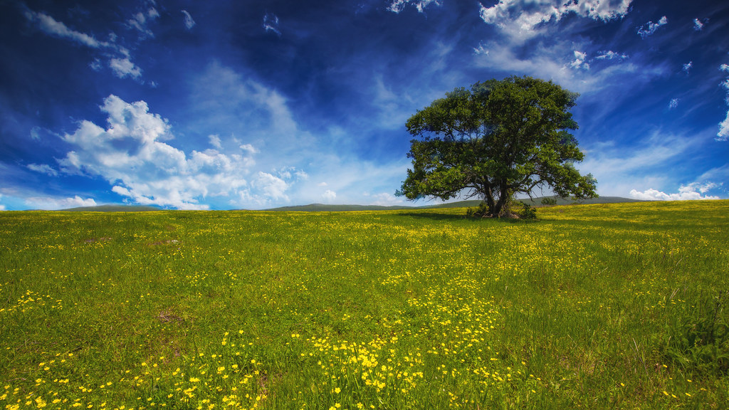
Golden Hour

Waves of Color
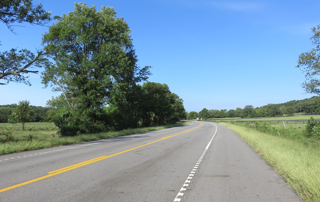
Highway 352
St. Mary's Catholic Church
Surveying Wine Country
Arkansas River Valley Landscape (Johnson County, Arkansas)
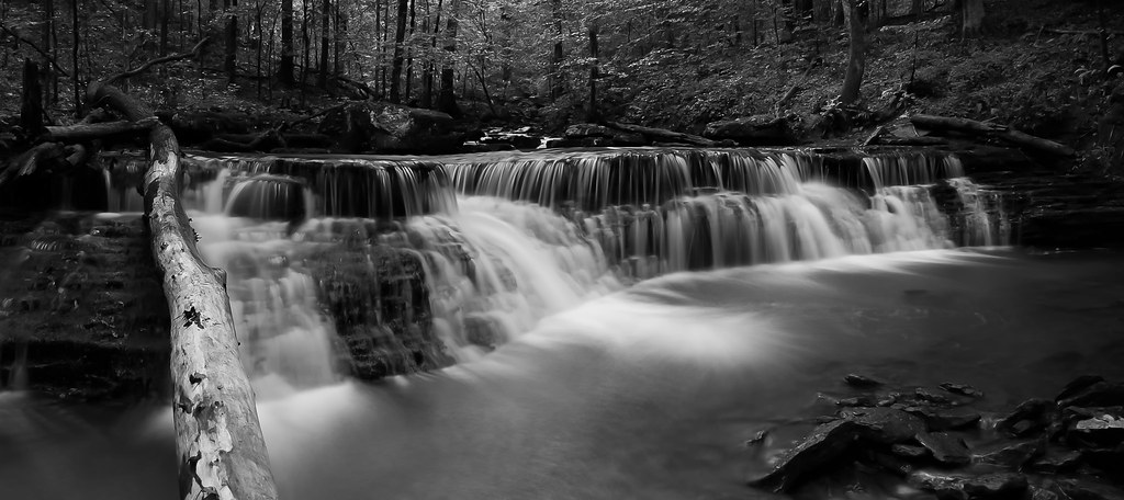
unnamed falls in black & white

Creek under Highway 103
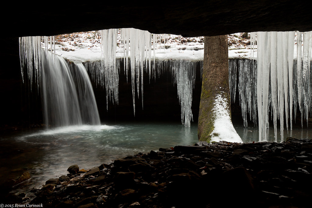
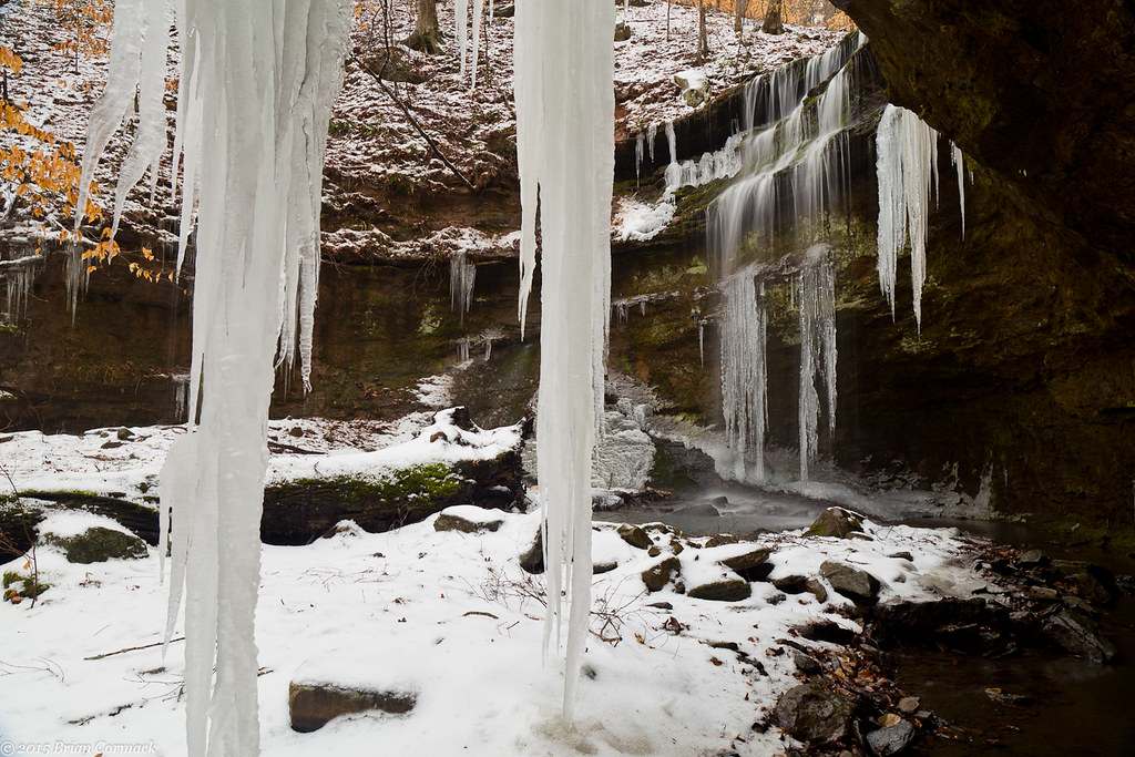
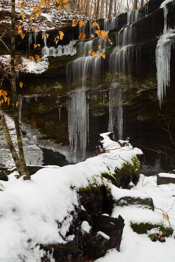
Short Grotto Falls
Short Grotto Falls
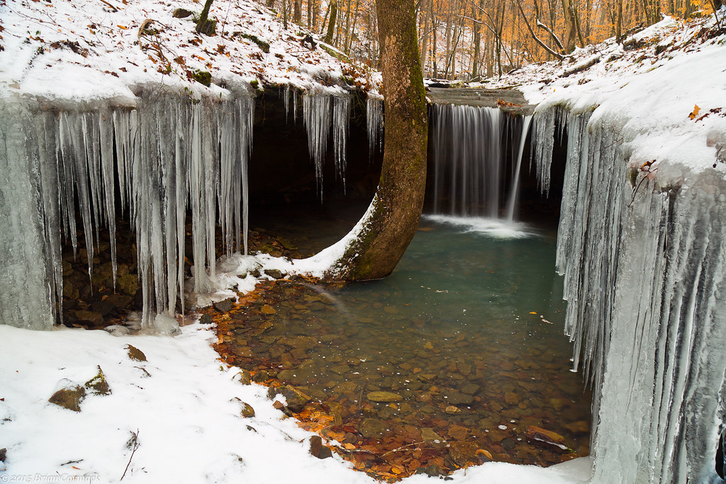
Amy Falls
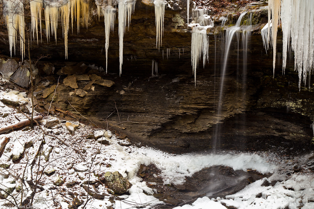
Amy Falls
Amy Falls
Topographic Map of Hunt, AR, USA
Find elevation by address:

Places near Hunt, AR, USA:
Stonewall Township
1591 Co Rd 3080
Pvt Rd, Clarksville, AR, USA
1314 Co Rd 3020
Horsehead Township
US-64, Coal Hill, AR, USA
Coal Hill
Oark, AR, USA
Batson Township
Grant Township
County Road 4160
Ward Township
Hartman
Burlison St, Hartman, AR, USA
8537 Us-64
Co Rd, Clarksville, AR, USA
County Road 2260
Prairie Township
1700 St Marys Mountain Rd
Franklin, Altus, AR, USA
Recent Searches:
- Elevation of Groblershoop, South Africa
- Elevation of Power Generation Enterprises | Industrial Diesel Generators, Oak Ave, Canyon Country, CA, USA
- Elevation of Chesaw Rd, Oroville, WA, USA
- Elevation of N, Mt Pleasant, UT, USA
- Elevation of 6 Rue Jules Ferry, Beausoleil, France
- Elevation of Sattva Horizon, 4JC6+G9P, Vinayak Nagar, Kattigenahalli, Bengaluru, Karnataka, India
- Elevation of Great Brook Sports, Gold Star Hwy, Groton, CT, USA
- Elevation of 10 Mountain Laurels Dr, Nashua, NH, USA
- Elevation of 16 Gilboa Ln, Nashua, NH, USA
- Elevation of Laurel Rd, Townsend, TN, USA