Elevation of Co Rd, Hartman, AR, USA
Location: United States > Arkansas > Johnson County > Ward Township > Hartman >
Longitude: -93.677967
Latitude: 35.4873367
Elevation: 176m / 577feet
Barometric Pressure: 99KPa
Elevation Map:
Satellite Map:
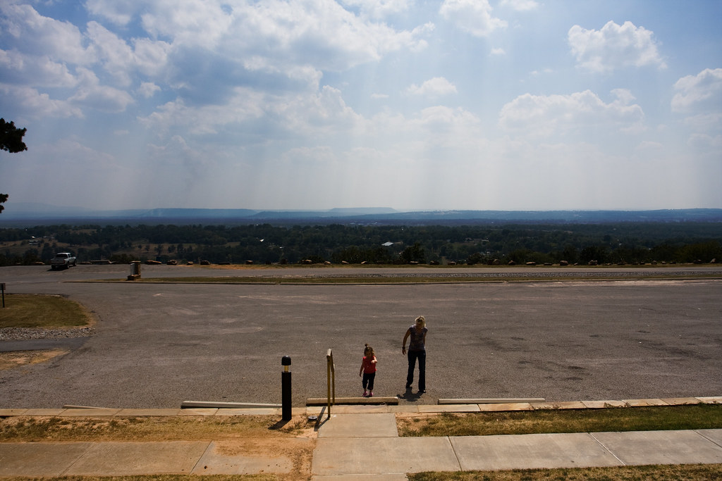
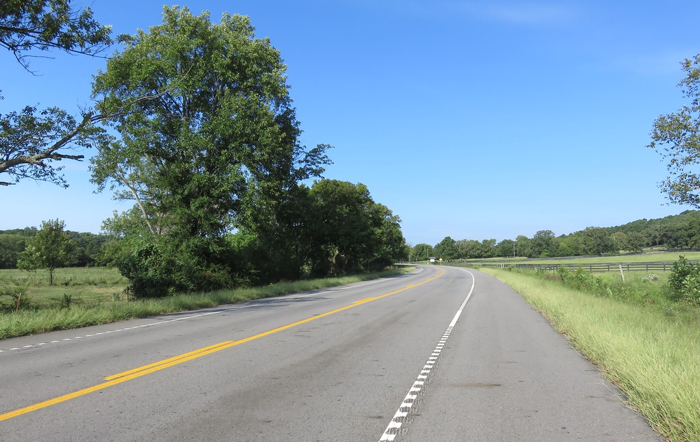
Related Photos:

A moment in the golden hour
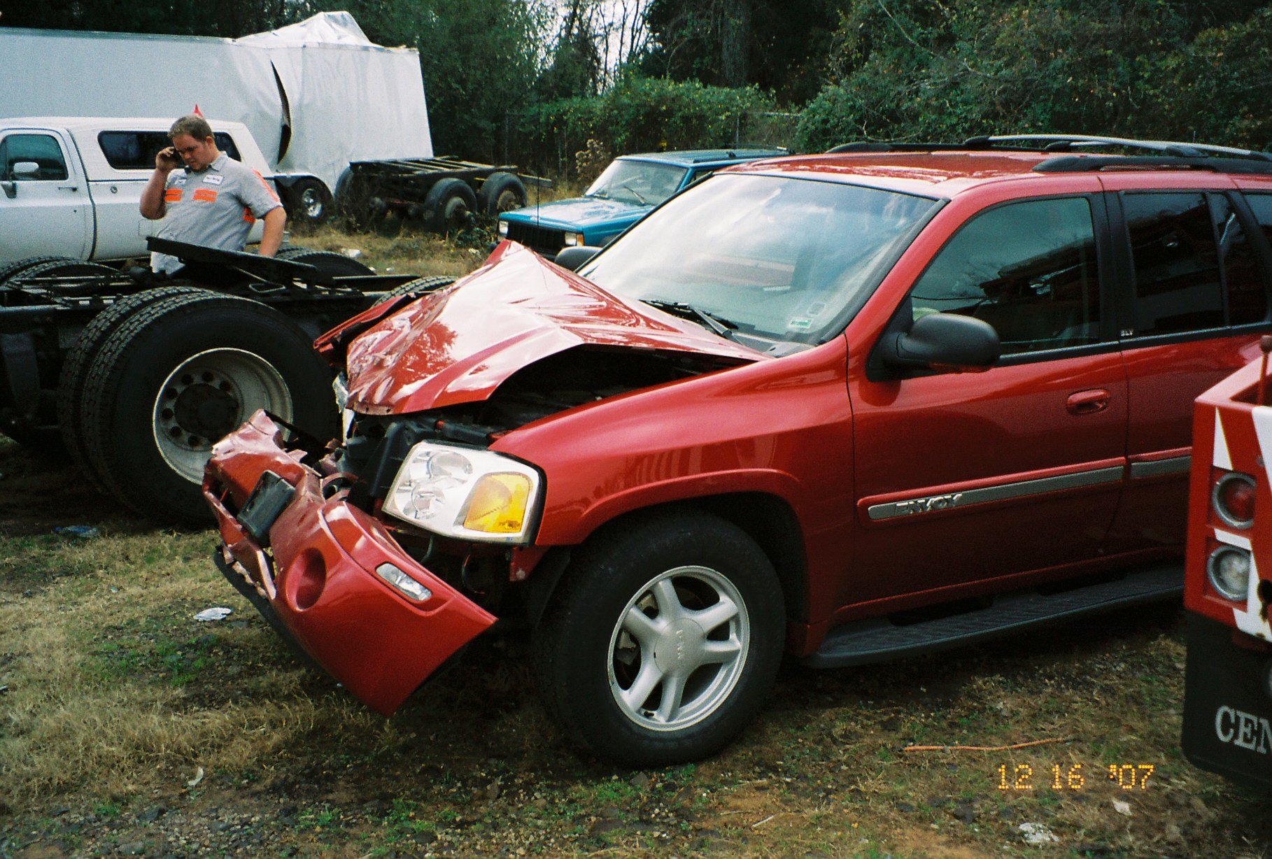
Drivers view

Point of impact
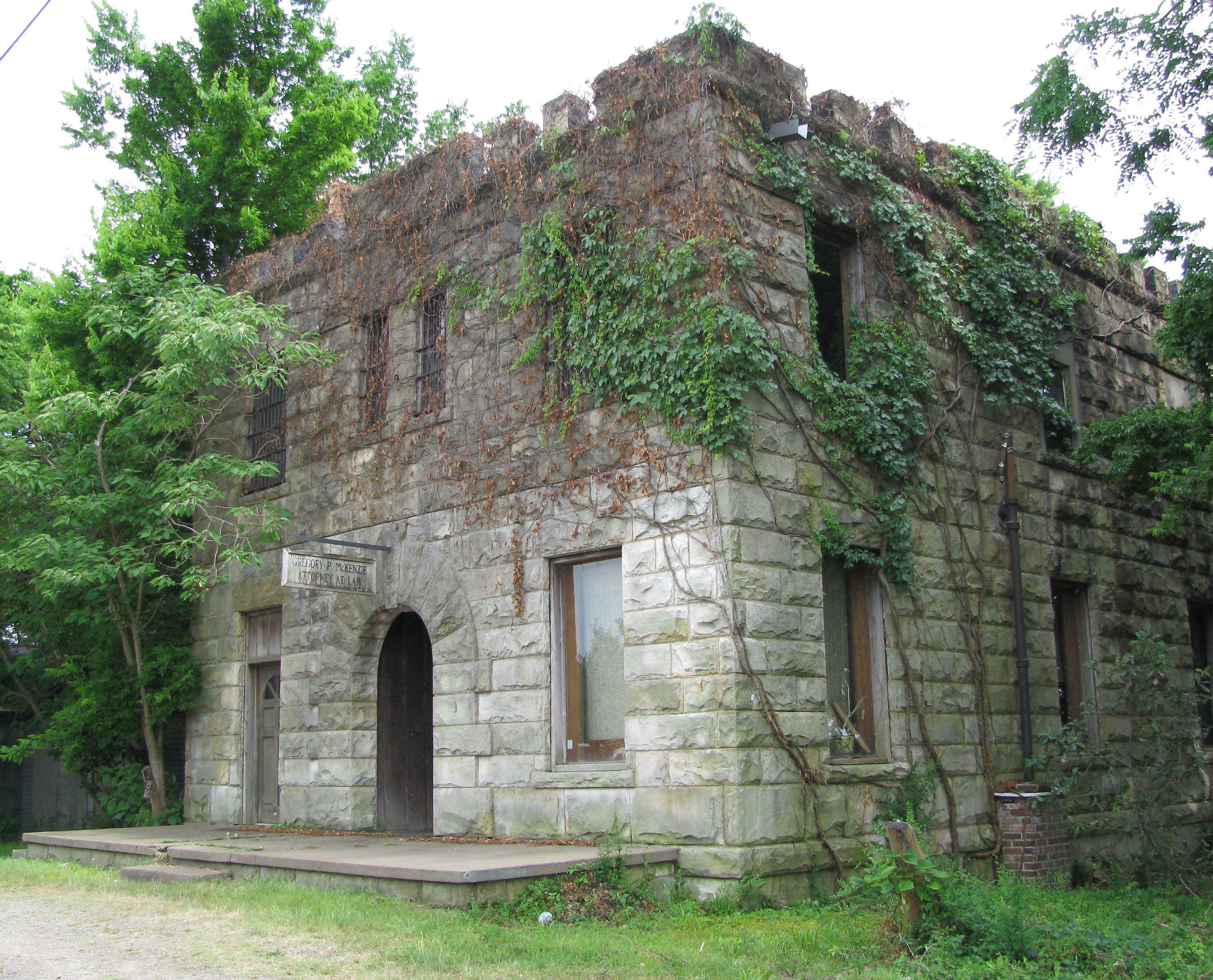
Attorney at Law

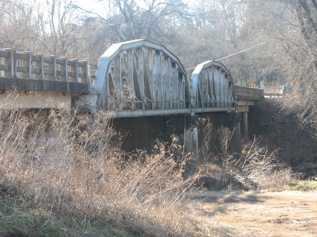
Mystery Bridge-Deck View
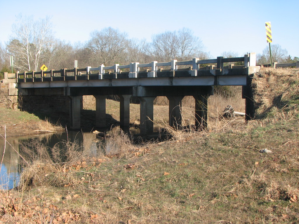
Side View-Horsehead Creek
US 64-Horsehead Creek Side View-Close
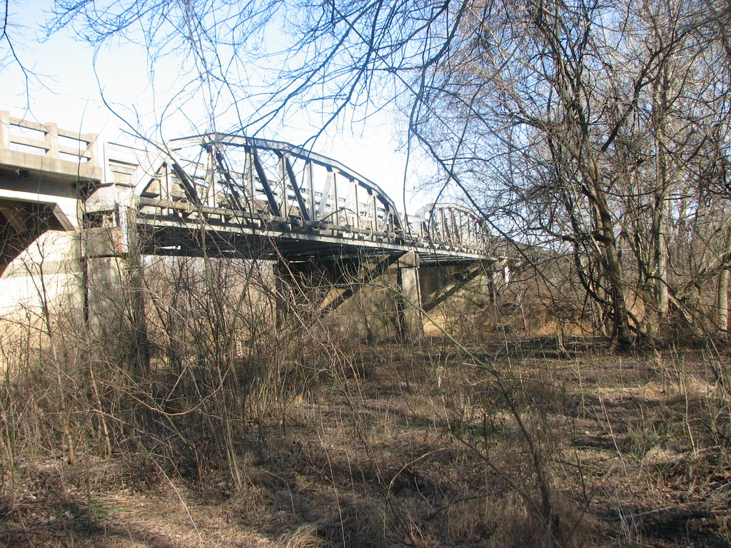
US 64-Horsehead Creek-Side View

Golden Hour

Firery Sunrise

Waves of Color

20151007_184203_Richtone(HDR)

Highway 352

Arkansas River at Roseville
St. Mary's Catholic Church
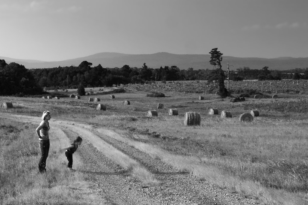
Surveying Wine Country
Arkansas River Valley Landscape (Johnson County, Arkansas)
Topographic Map of Co Rd, Hartman, AR, USA
Find elevation by address:

Places near Co Rd, Hartman, AR, USA:
US-64, Coal Hill, AR, USA
Coal Hill
Grant Township
8537 Us-64
Hartman
Burlison St, Hartman, AR, USA
Ward Township
1700 St Marys Mountain Rd
Franklin, Altus, AR, USA
Altus
Alix Township
E Church St, Altus, AR, USA
6705 W Creek Rd
County Road 2260
Hogan Township
Prairie Township
Co Rd, Clarksville, AR, USA
Co Rd, Hartman, AR, USA
4473 Cottontown Rd
13 W State Hwy, Ozark, AR, USA
Recent Searches:
- Elevation of Congressional Dr, Stevensville, MD, USA
- Elevation of Bellview Rd, McLean, VA, USA
- Elevation of Stage Island Rd, Chatham, MA, USA
- Elevation of Shibuya Scramble Crossing, 21 Udagawacho, Shibuya City, Tokyo -, Japan
- Elevation of Jadagoniai, Kaunas District Municipality, Lithuania
- Elevation of Pagonija rock, Kranto 7-oji g. 8"N, Kaunas, Lithuania
- Elevation of Co Rd 87, Jamestown, CO, USA
- Elevation of Tenjo, Cundinamarca, Colombia
- Elevation of Côte-des-Neiges, Montreal, QC H4A 3J6, Canada
- Elevation of Bobcat Dr, Helena, MT, USA