Elevation of W Creek Rd, Ozark, AR, USA
Location: United States > Arkansas > Franklin County > White Oak Township > Ozark >
Longitude: -93.784321
Latitude: 35.4666503
Elevation: 161m / 528feet
Barometric Pressure: 99KPa
Elevation Map:
Satellite Map:
Related Photos:

Front View

A moment in the golden hour
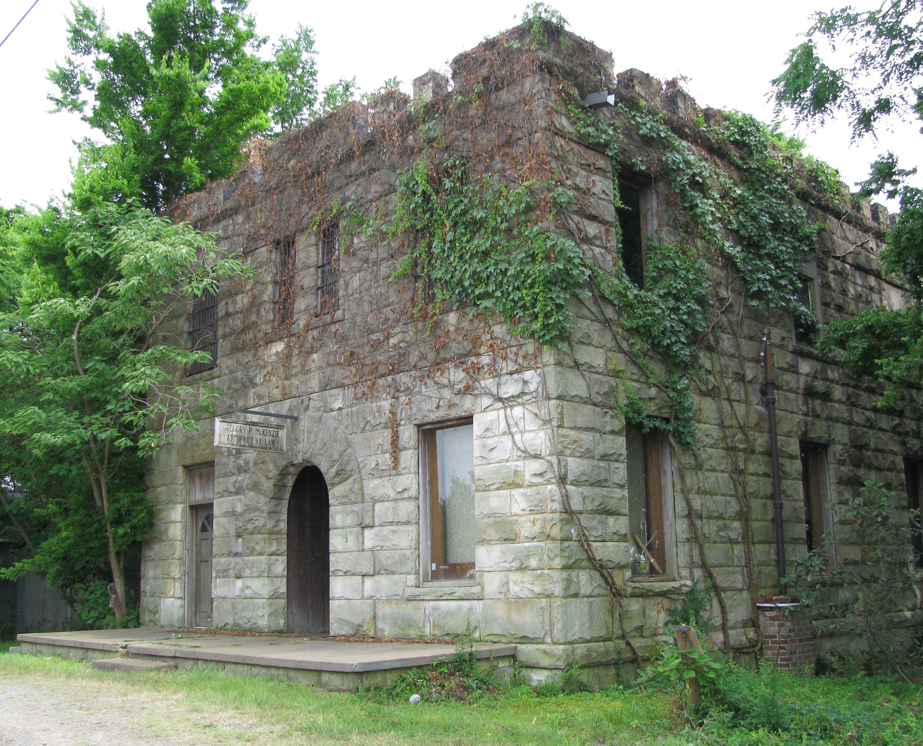
Attorney at Law

Drivers view

Point of impact

Inside View

Mystery Bridge-Deck View

Firery Sunrise

Golden Hour
St. Mary's Catholic Church
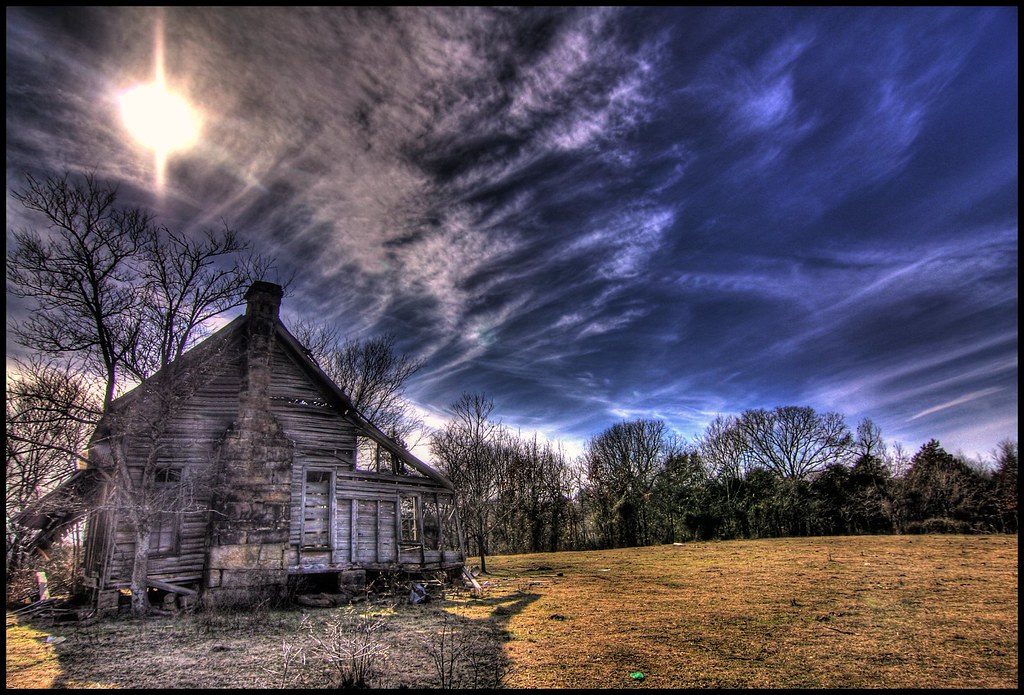
nobody there

Waves of Color

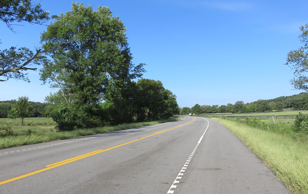
Highway 352
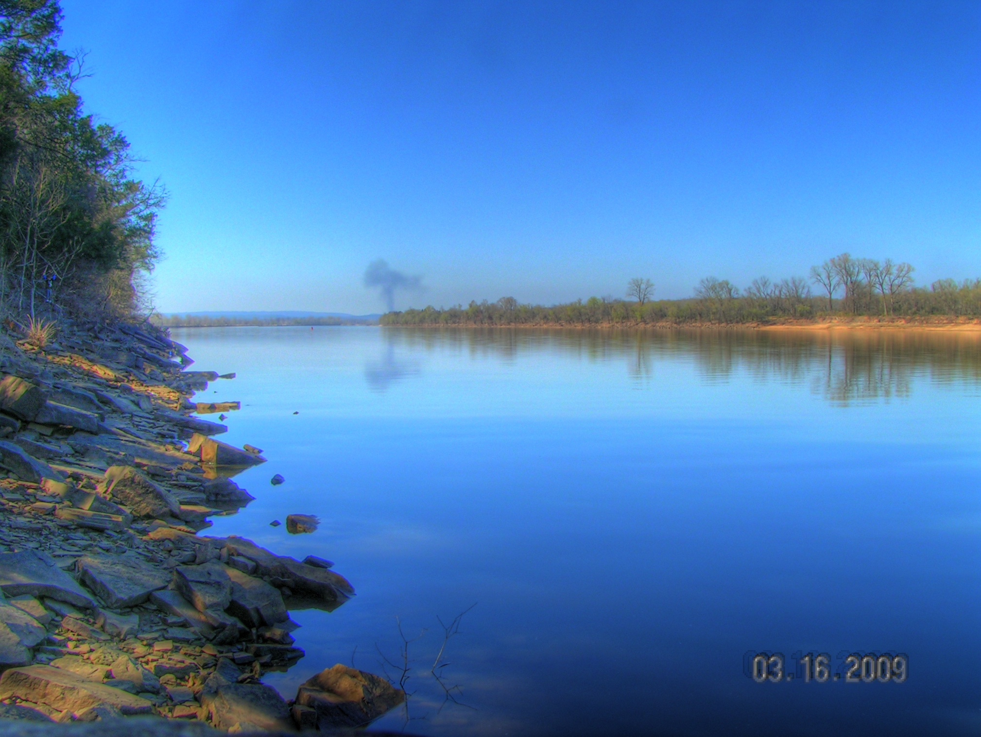
Arkansas River at Roseville

Buckaroo in the forest #mextures #naturelovers #ozarknationalforest #ozarkmountains
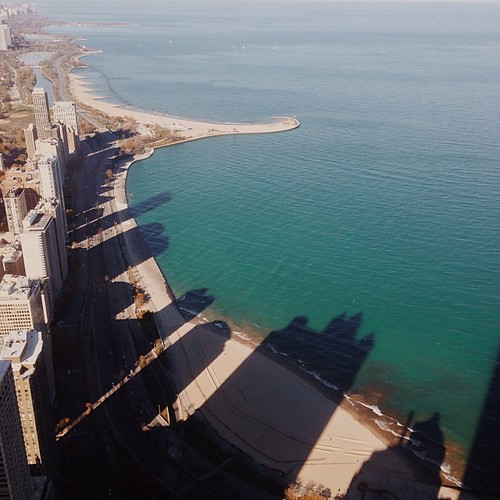
I wonder if the fish know what the dark areas are? Or if the even realize busy people are up there doing busy-work? #chitown #vscocam
Arkansas River Valley Landscape (Johnson County, Arkansas)
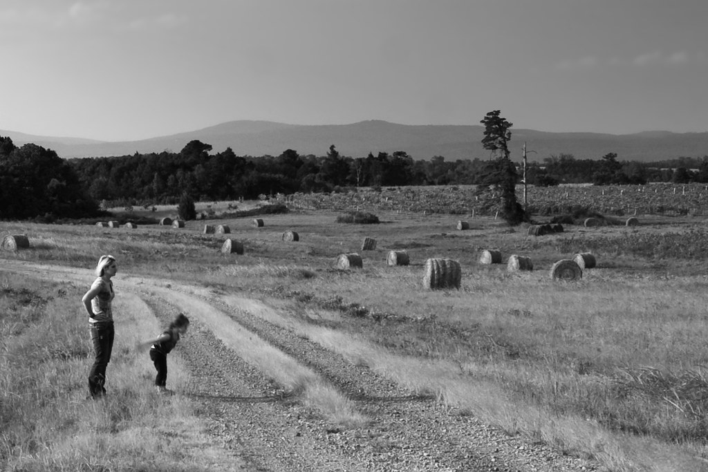
Surveying Wine Country
Topographic Map of W Creek Rd, Ozark, AR, USA
Find elevation by address:

Places near W Creek Rd, Ozark, AR, USA:
Altus
Franklin, Altus, AR, USA
1700 St Marys Mountain Rd
Hogan Township
E Church St, Altus, AR, USA
Ozark
Santa Fe Trail, Ozark, AR, USA
Celebrate Recovery
8537 Us-64
Middle Township
Alix Township
13 W State Hwy, Ozark, AR, USA
Roseville Township
1314 Co Rd 3020
Coal Hill
US-64, Coal Hill, AR, USA
Grant Township
Hartman
Burlison St, Hartman, AR, USA
Ward Township
Recent Searches:
- Elevation of Congressional Dr, Stevensville, MD, USA
- Elevation of Bellview Rd, McLean, VA, USA
- Elevation of Stage Island Rd, Chatham, MA, USA
- Elevation of Shibuya Scramble Crossing, 21 Udagawacho, Shibuya City, Tokyo -, Japan
- Elevation of Jadagoniai, Kaunas District Municipality, Lithuania
- Elevation of Pagonija rock, Kranto 7-oji g. 8"N, Kaunas, Lithuania
- Elevation of Co Rd 87, Jamestown, CO, USA
- Elevation of Tenjo, Cundinamarca, Colombia
- Elevation of Côte-des-Neiges, Montreal, QC H4A 3J6, Canada
- Elevation of Bobcat Dr, Helena, MT, USA