Elevation of Santa Fe Trail, Ozark, AR, USA
Location: United States > Arkansas > Franklin County > Middle Township >
Longitude: -93.831609
Latitude: 35.4796948
Elevation: 112m / 367feet
Barometric Pressure: 100KPa
Elevation Map:
Satellite Map:
Related Photos:

Outside View

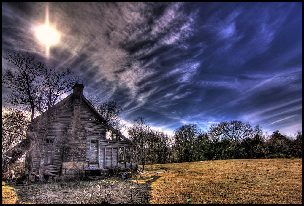
A moment in the golden hour

Mt Zion Church
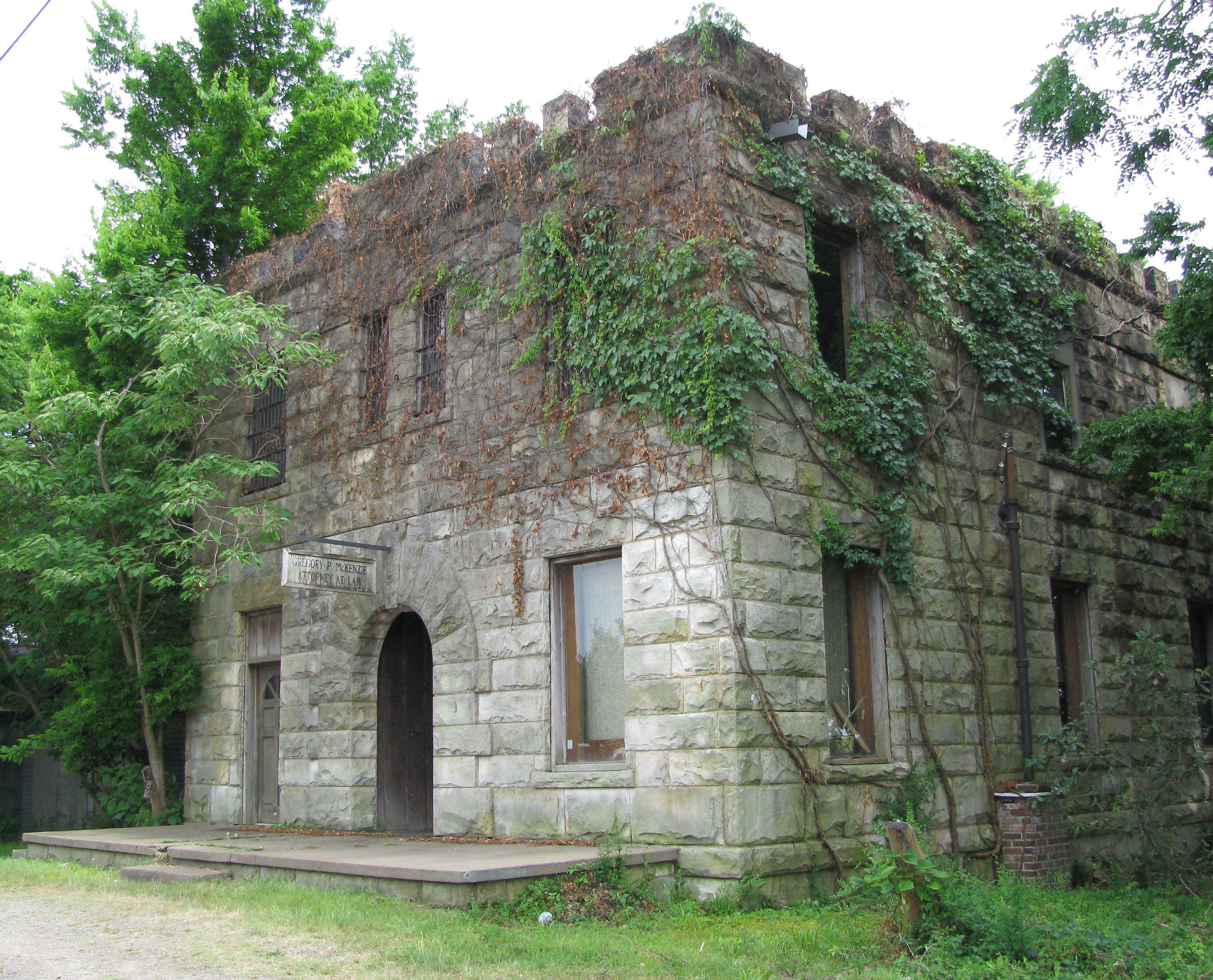
Attorney at Law

Drivers view
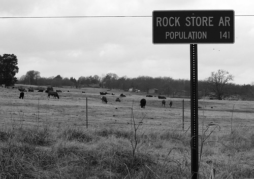
Rock Store AR

Front View

Mystery Bridge-Deck View

Point of impact

Inside View
nobody there

Red Roof
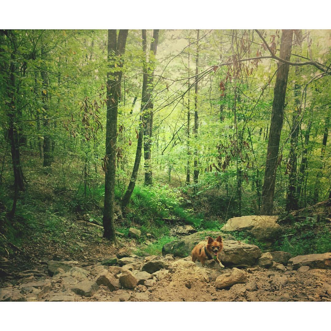
Buckaroo in the forest #mextures #naturelovers #ozarknationalforest #ozarkmountains

Firery Sunrise
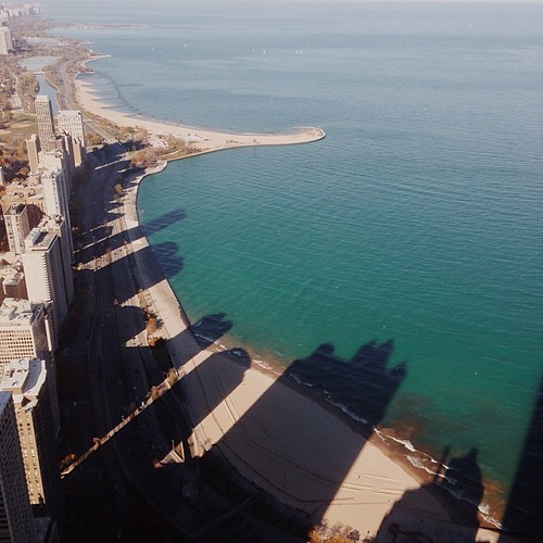
I wonder if the fish know what the dark areas are? Or if the even realize busy people are up there doing busy-work? #chitown #vscocam
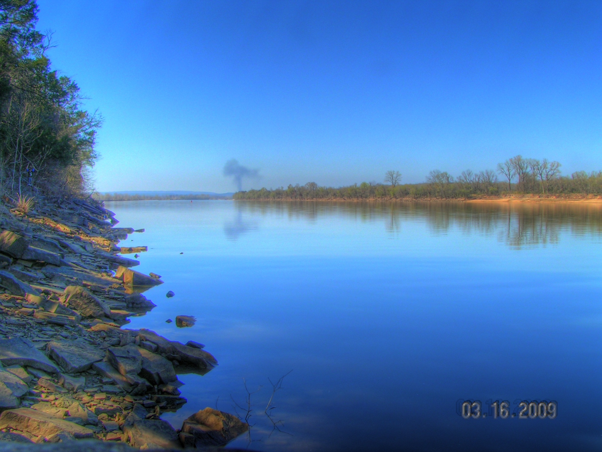
Arkansas River at Roseville

Golden Hour
St. Mary's Catholic Church

Waves of Color
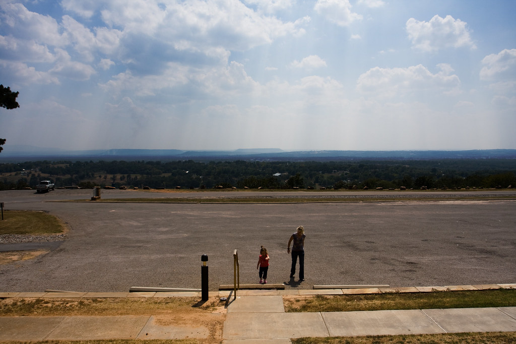
Surveying Wine Country
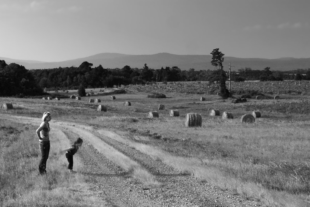
My natural state.
Topographic Map of Santa Fe Trail, Ozark, AR, USA
Find elevation by address:

Places near Santa Fe Trail, Ozark, AR, USA:
Ozark
Celebrate Recovery
Middle Township
6705 W Creek Rd
Hogan Township
Altus
Franklin, Altus, AR, USA
1700 St Marys Mountain Rd
E Church St, Altus, AR, USA
8537 Us-64
13 W State Hwy, Ozark, AR, USA
Alix Township
Roseville Township
1314 Co Rd 3020
Coal Hill
US-64, Coal Hill, AR, USA
Grant Township
Hartman
Burlison St, Hartman, AR, USA
Ward Township
Recent Searches:
- Elevation of Corso Fratelli Cairoli, 35, Macerata MC, Italy
- Elevation of Tallevast Rd, Sarasota, FL, USA
- Elevation of 4th St E, Sonoma, CA, USA
- Elevation of Black Hollow Rd, Pennsdale, PA, USA
- Elevation of Oakland Ave, Williamsport, PA, USA
- Elevation of Pedrógão Grande, Portugal
- Elevation of Klee Dr, Martinsburg, WV, USA
- Elevation of Via Roma, Pieranica CR, Italy
- Elevation of Tavkvetili Mountain, Georgia
- Elevation of Hartfords Bluff Cir, Mt Pleasant, SC, USA