Elevation of White Oak Township, AR, USA
Location: United States > Arkansas > Franklin County >
Longitude: -93.804483
Latitude: 35.5278701
Elevation: 232m / 761feet
Barometric Pressure: 99KPa
Elevation Map:
Satellite Map:
Related Photos:

A moment in the golden hour
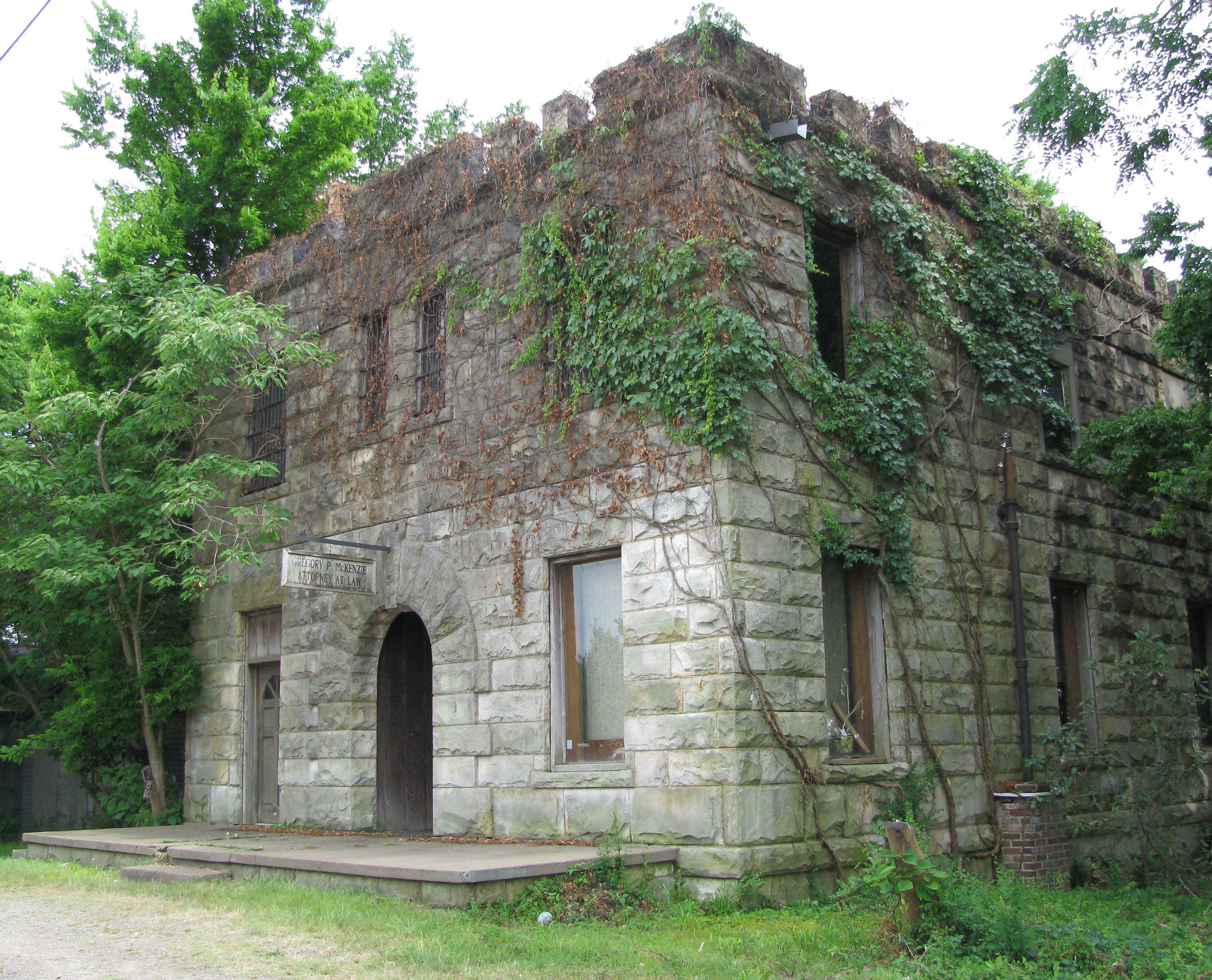
Attorney at Law
Drivers view
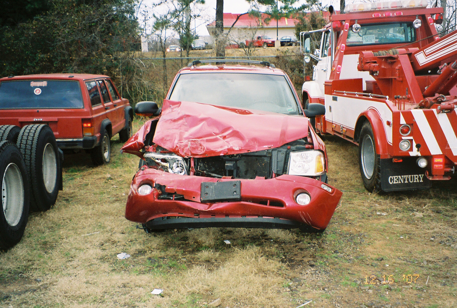
Front View

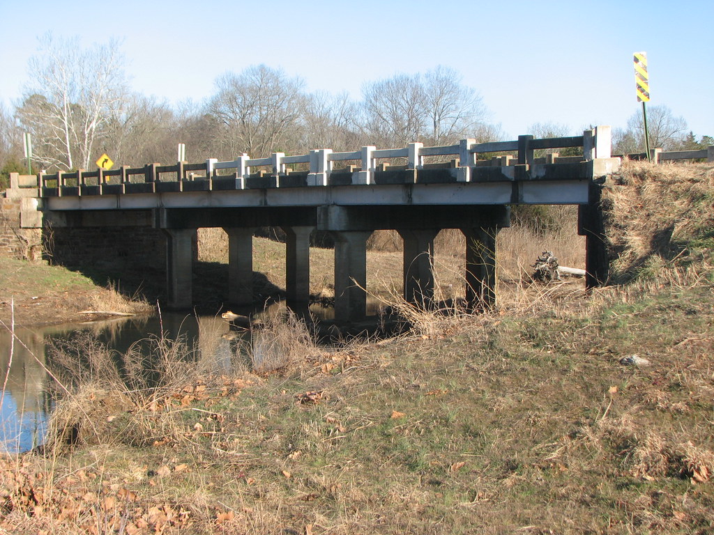
Mystery Bridge-Deck View

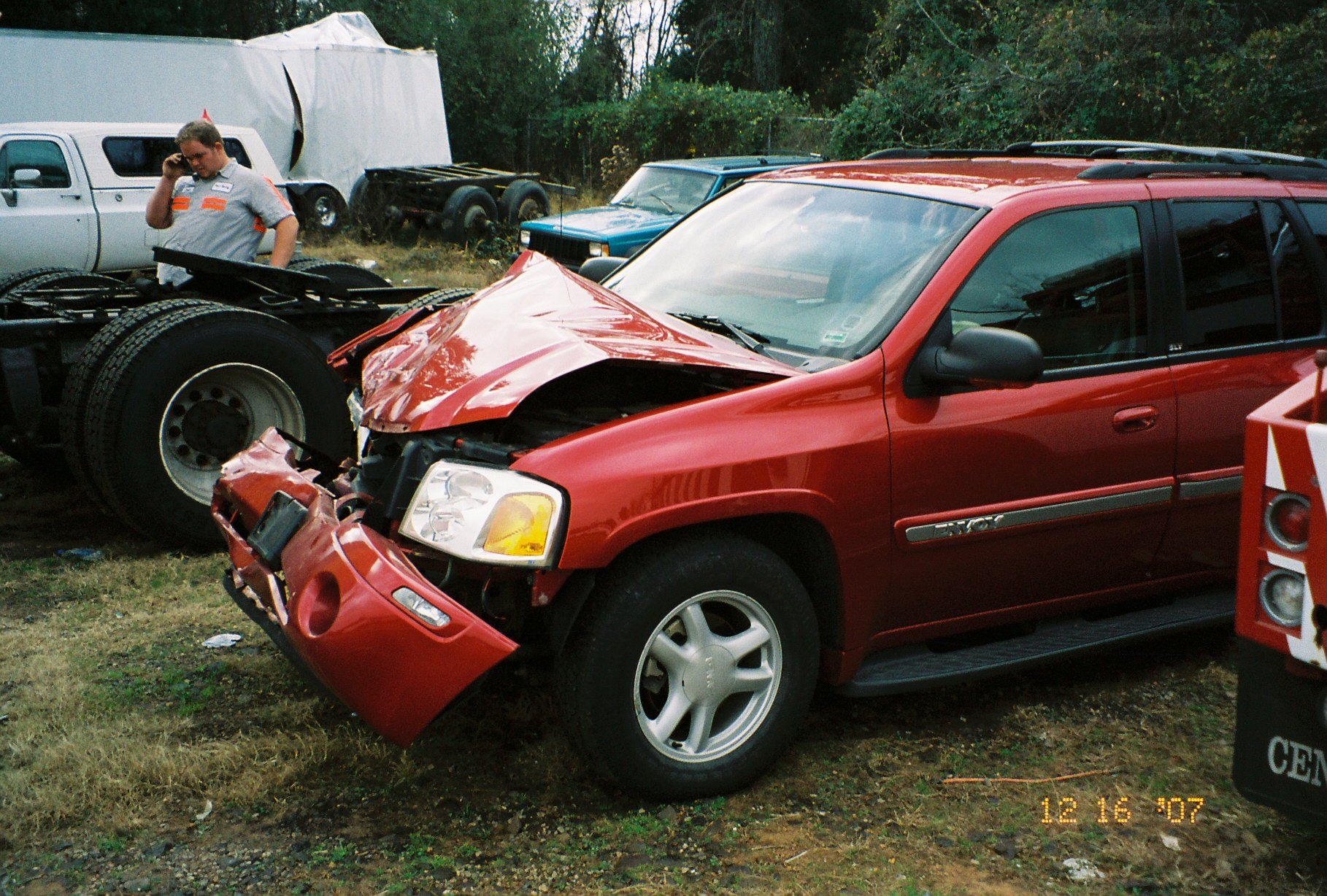
Point of impact
Side View-Horsehead Creek
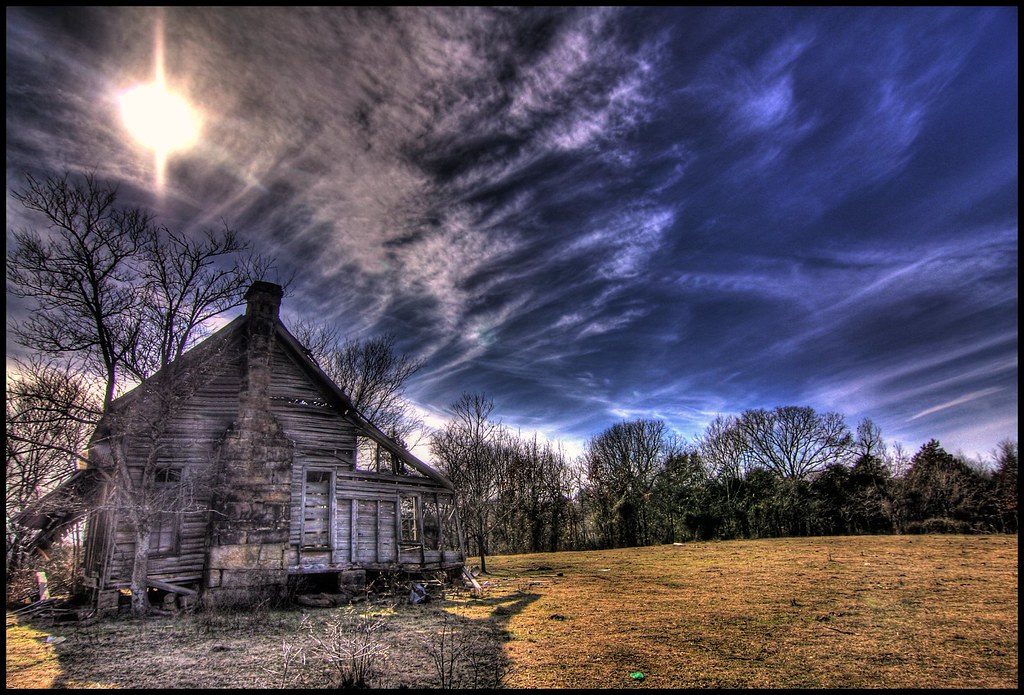
nobody there

Pig Trail Falls
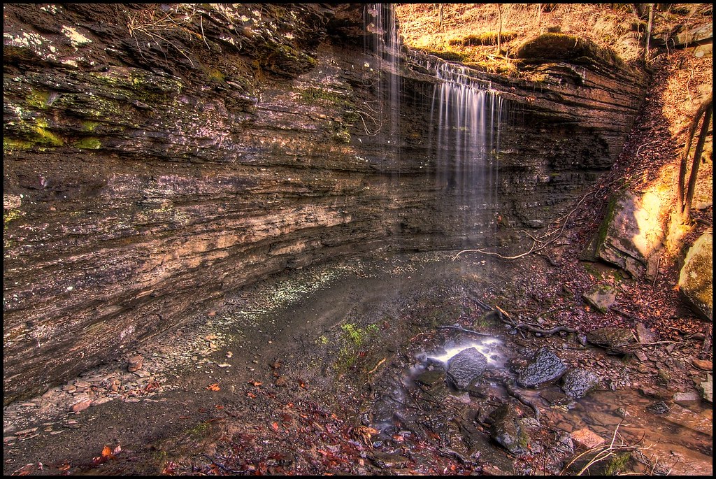
Pig Trail Falls

Firery Sunrise
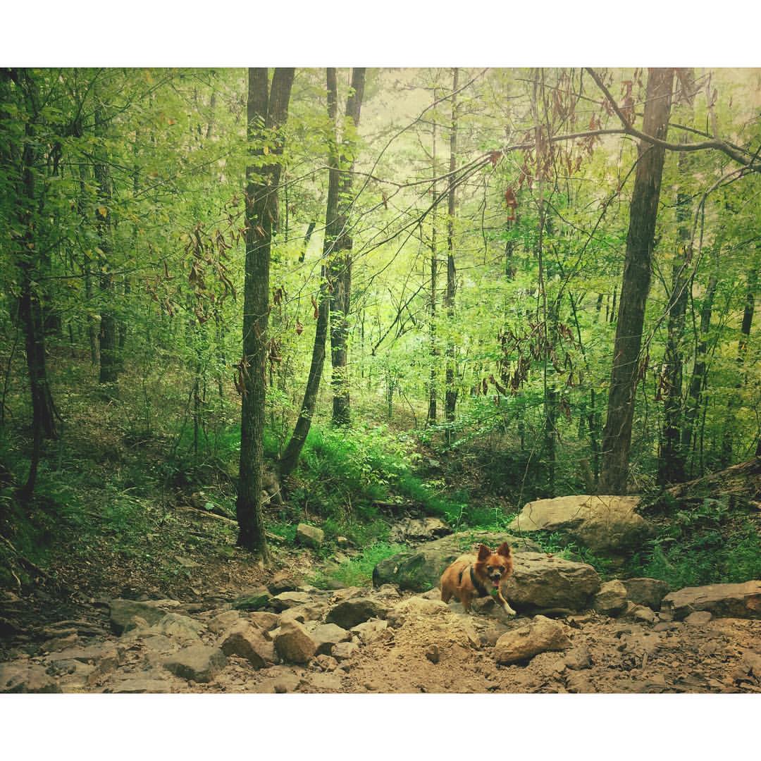
Buckaroo in the forest #mextures #naturelovers #ozarknationalforest #ozarkmountains
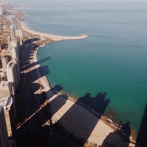
I wonder if the fish know what the dark areas are? Or if the even realize busy people are up there doing busy-work? #chitown #vscocam
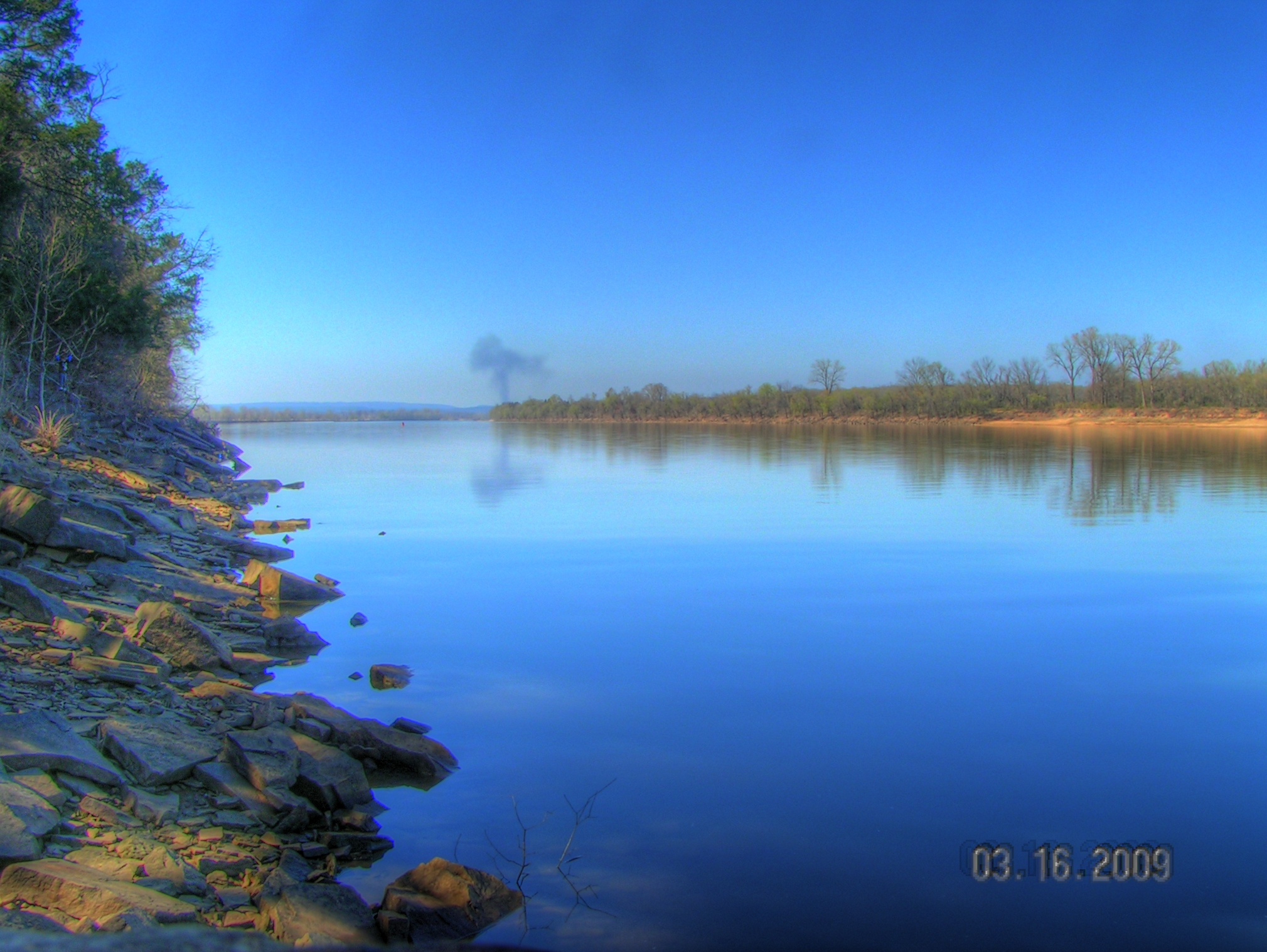
Arkansas River at Roseville

Golden Hour
St. Mary's Catholic Church

Waves of Color
Surveying Wine Country
Beautiful Spring Drive

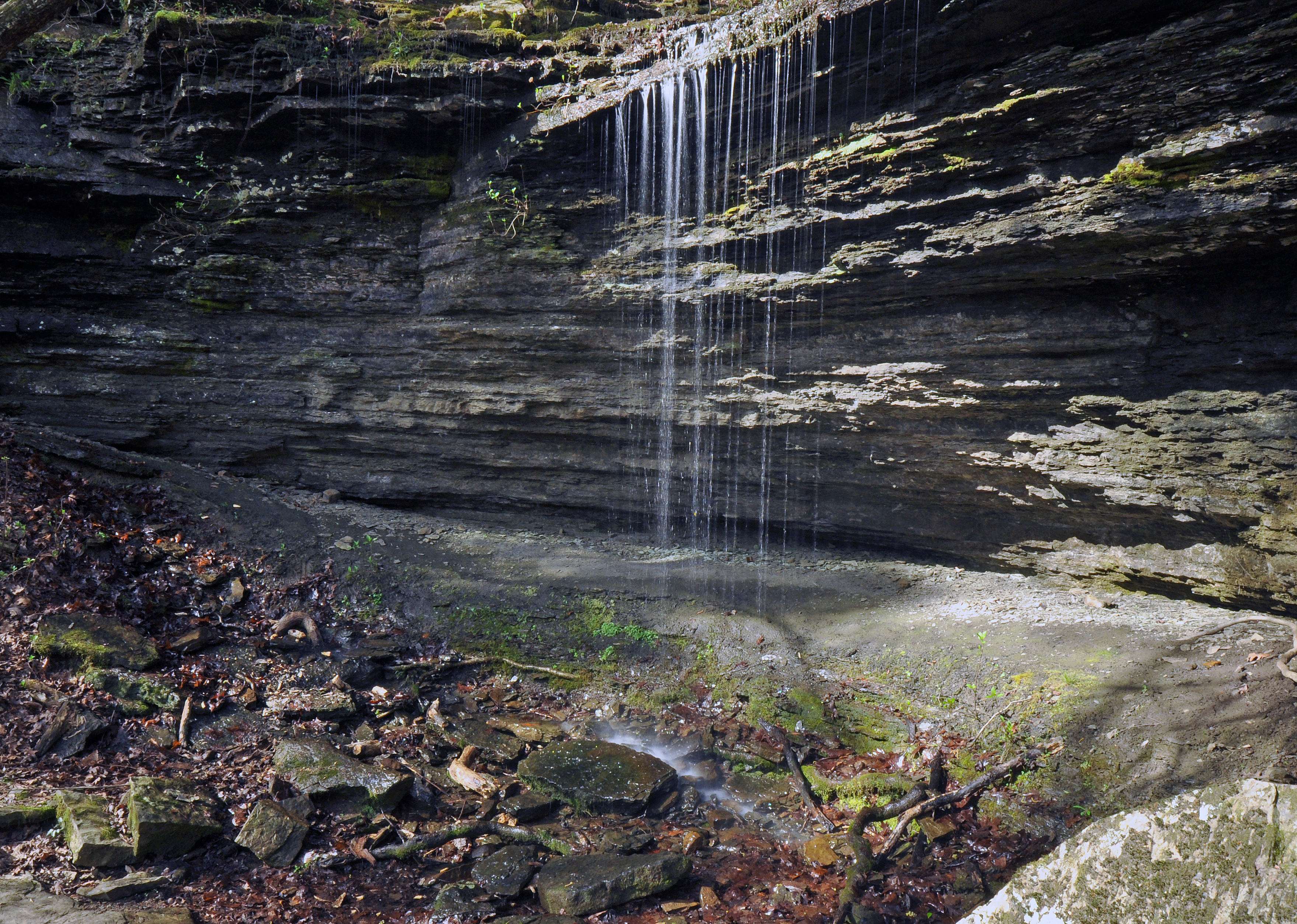
Unnamed waterfall
Pig Trail Falls
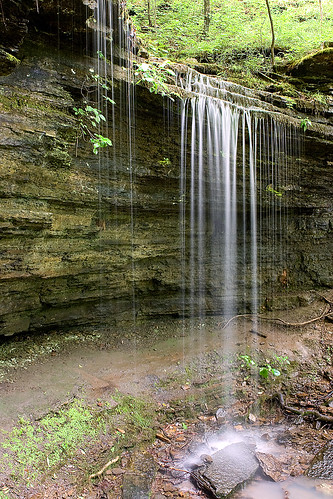
Pig Trail Falls

Falls at Turner's Bend

Spent the last day of our trip here, it's beautiful! #ozarkmountains #mulberryriver #naturelovers #nature
Topographic Map of White Oak Township, AR, USA
Find elevation by address:

Places in White Oak Township, AR, USA:
Places near White Oak Township, AR, USA:
1817 N 3rd St
Celebrate Recovery
Ozark
Santa Fe Trail, Ozark, AR, USA
White Oak
Cat Holler Road
6705 W Creek Rd
Franklin County
1700 St Marys Mountain Rd
Altus
Franklin, Altus, AR, USA
Middle Township
Hogan Township
8537 Us-64
E Church St, Altus, AR, USA
Wire Rd, Ozark, AR, USA
AR-23, Ozark, AR, USA
Middle Ridge Rd, Ozark, AR, USA
Walker Township
1591 Co Rd 3080
Recent Searches:
- Elevation of Jalan Senandin, Lutong, Miri, Sarawak, Malaysia
- Elevation of Bilohirs'k
- Elevation of 30 Oak Lawn Dr, Barkhamsted, CT, USA
- Elevation of Luther Road, Luther Rd, Auburn, CA, USA
- Elevation of Unnamed Road, Respublika Severnaya Osetiya — Alaniya, Russia
- Elevation of Verkhny Fiagdon, North Ossetia–Alania Republic, Russia
- Elevation of F. Viola Hiway, San Rafael, Bulacan, Philippines
- Elevation of Herbage Dr, Gulfport, MS, USA
- Elevation of Lilac Cir, Haldimand, ON N3W 2G9, Canada
- Elevation of Harrod Branch Road, Harrod Branch Rd, Kentucky, USA