Elevation map of Lane County, OR, USA
Location: United States > Oregon >
Longitude: -122.66182
Latitude: 43.9610092
Elevation: 412m / 1352feet
Barometric Pressure: 96KPa
Elevation Map:
Satellite Map:
Related Photos:

Fall Creek, Autumn Study #1
a2001-14-23

South Creek Falls

Fall Creek Trail
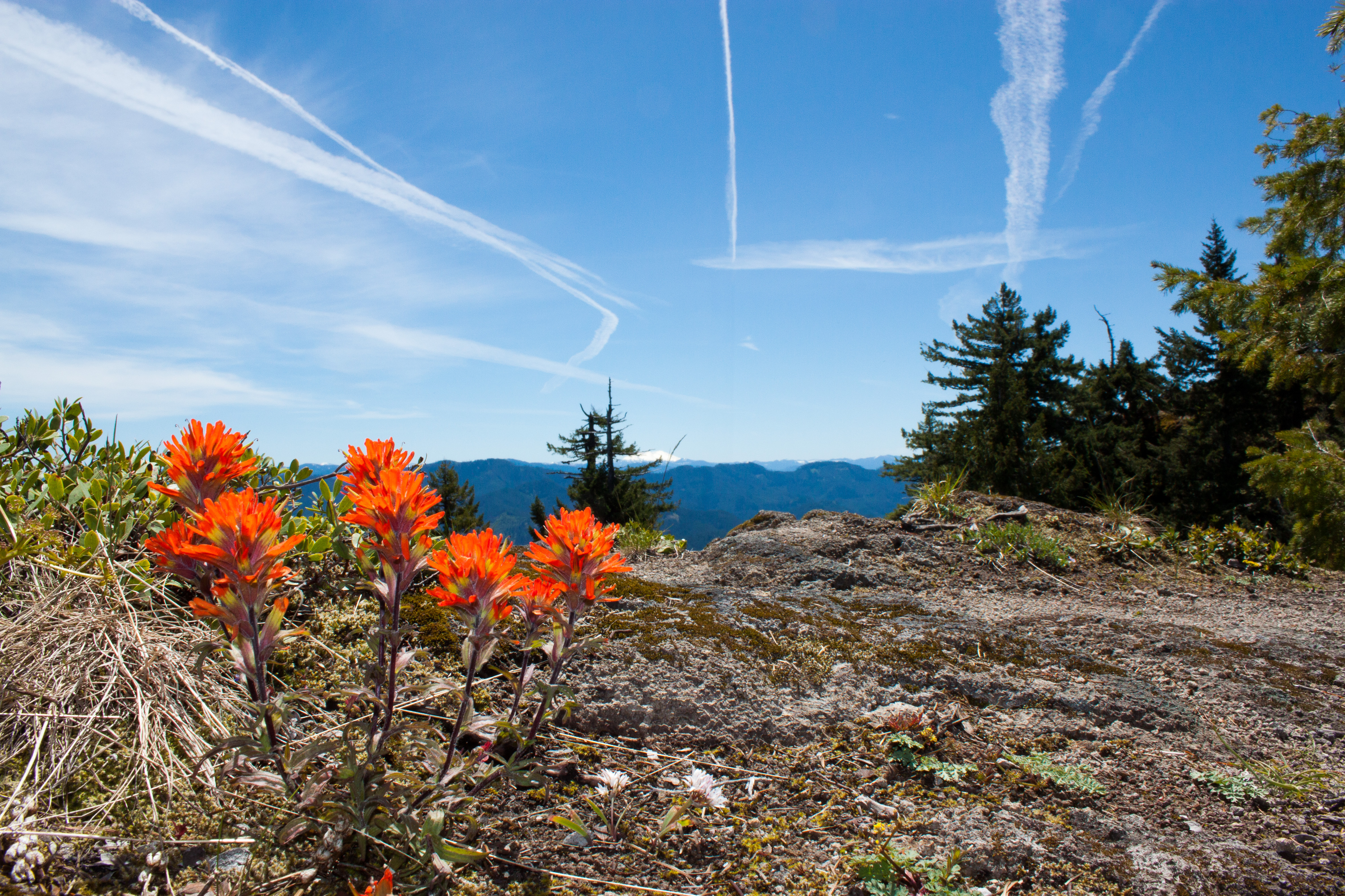
Wildflowers on the rocky top

Sunset over the Dexter Reservoir
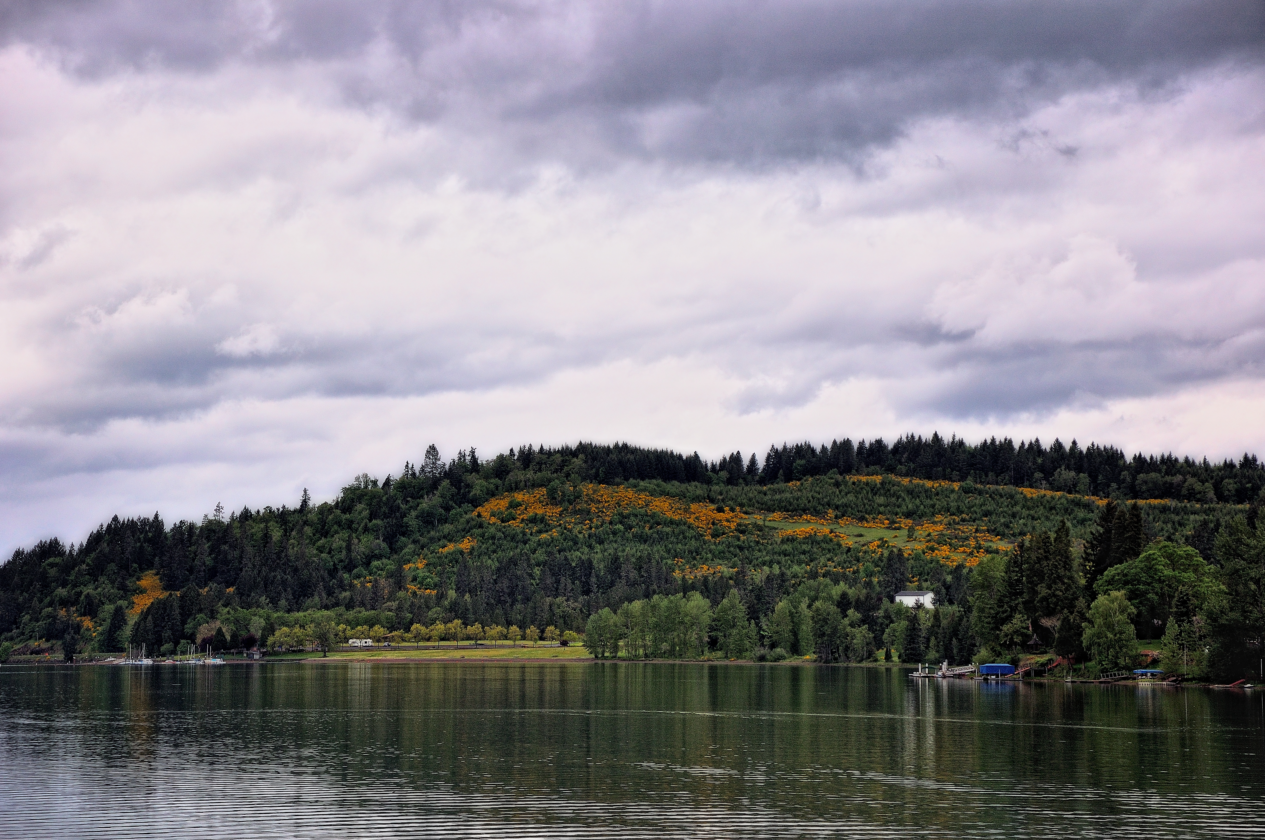
Hills Behind a Lakeshore View

Fall Creek, Autumn Study #3
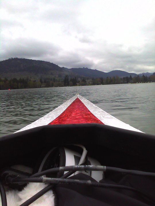
my view

View from the Fall Creek Trail

Fall Creek, Autumn Study #2
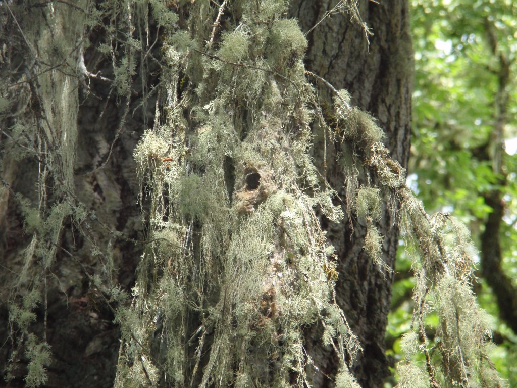
Closer view of Bushtit nest

View from Little Cownhorn Lookout
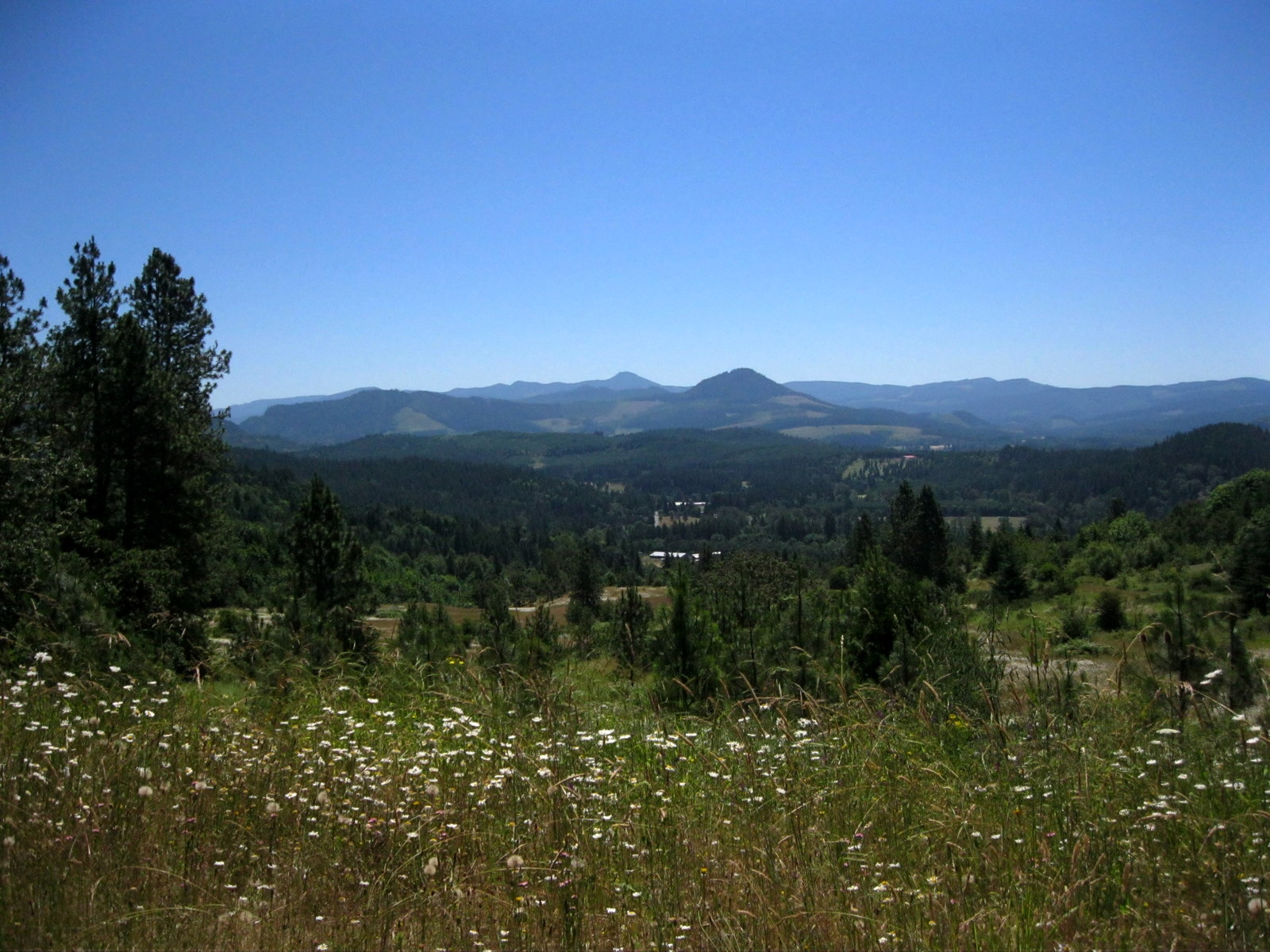
Pretty Much Why I Stayed in Oregon

View from Little Cownhorn Lookout

View from lookout

View over the valley

day ten.
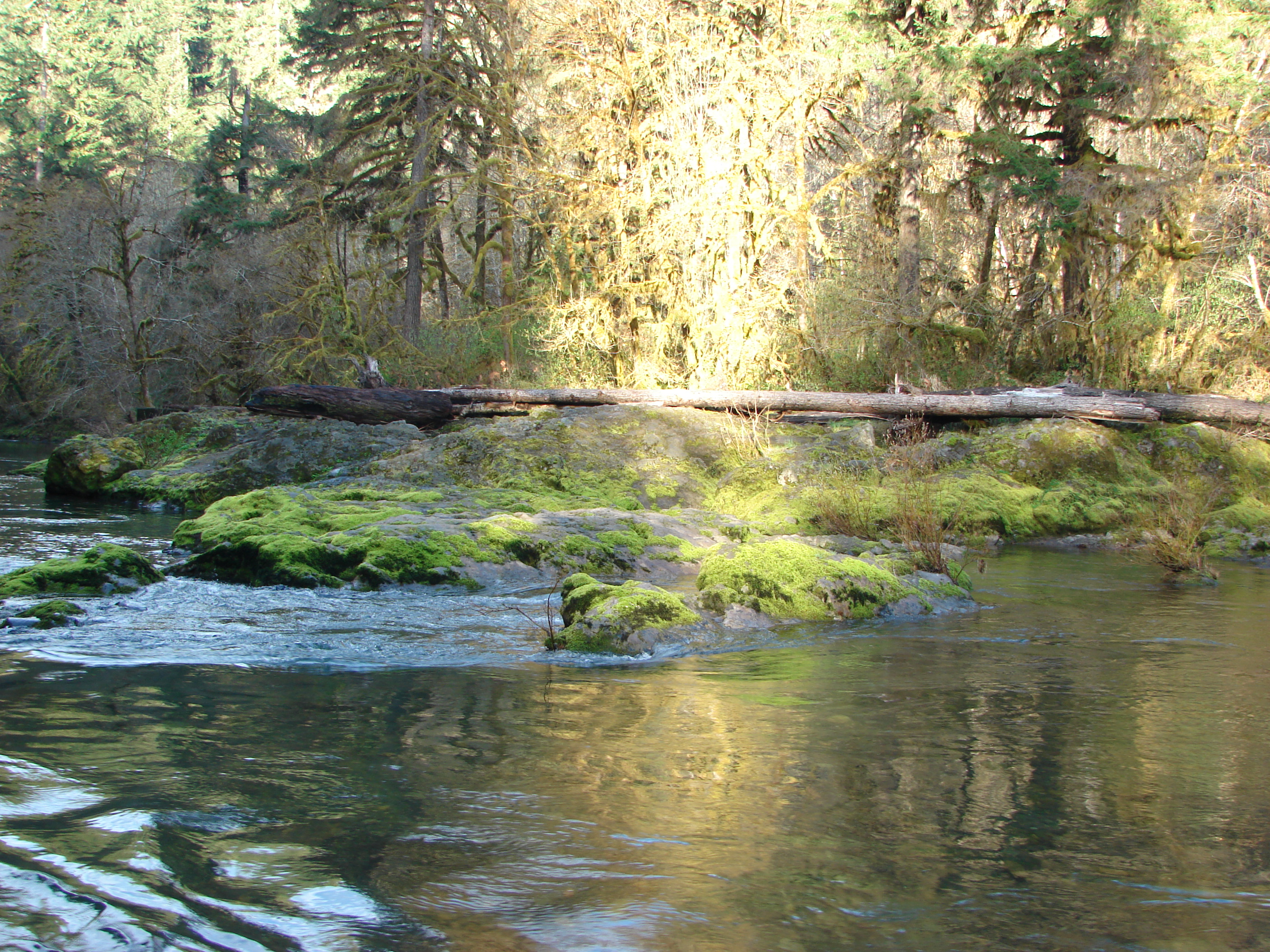
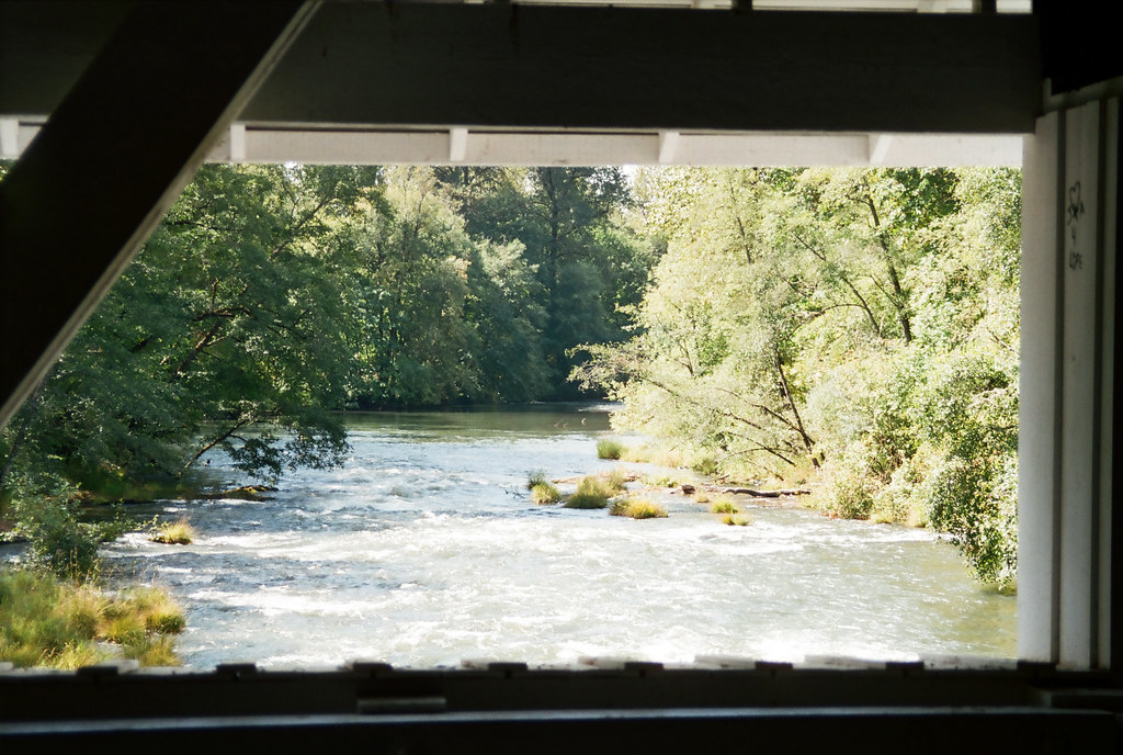
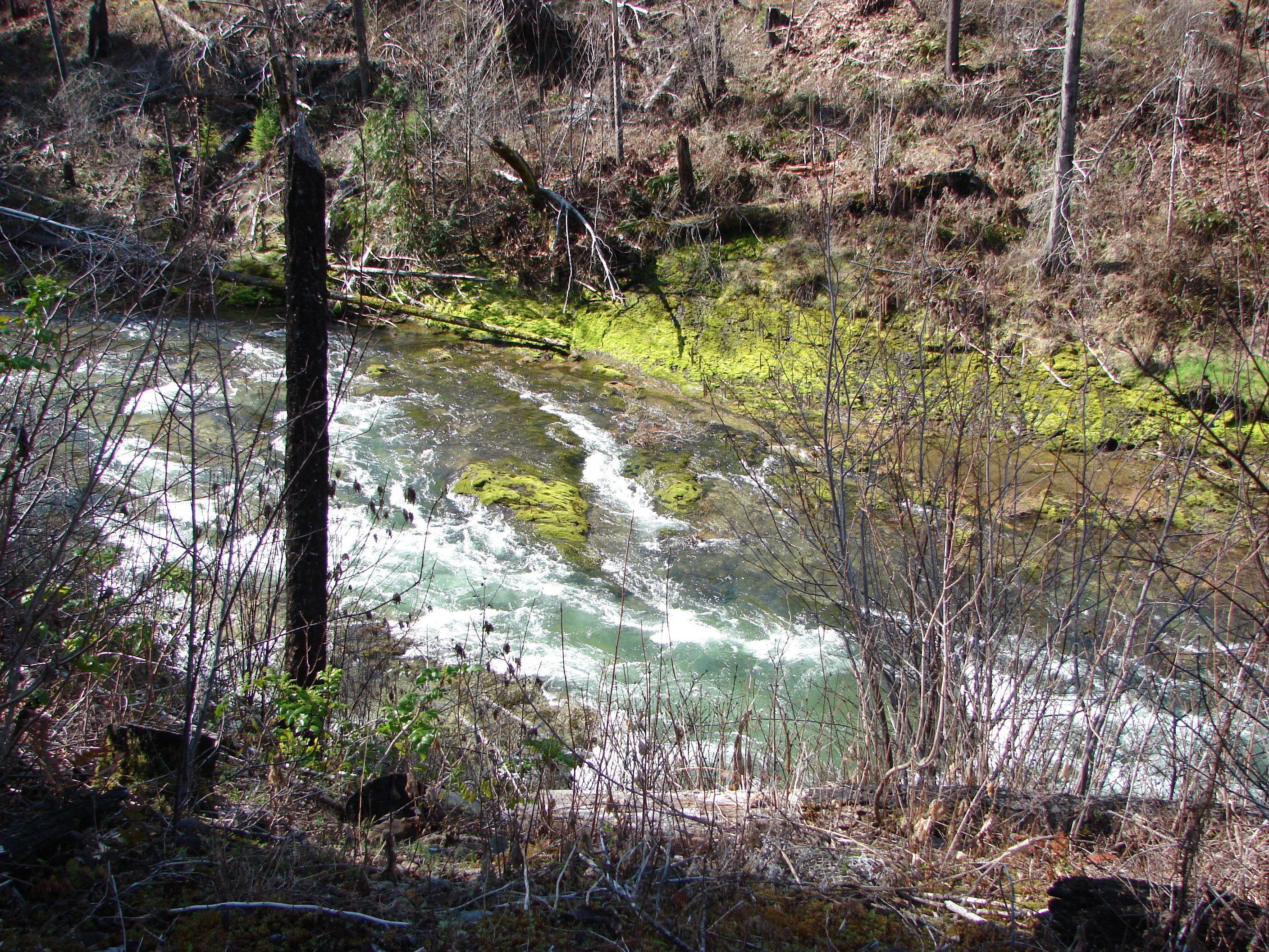
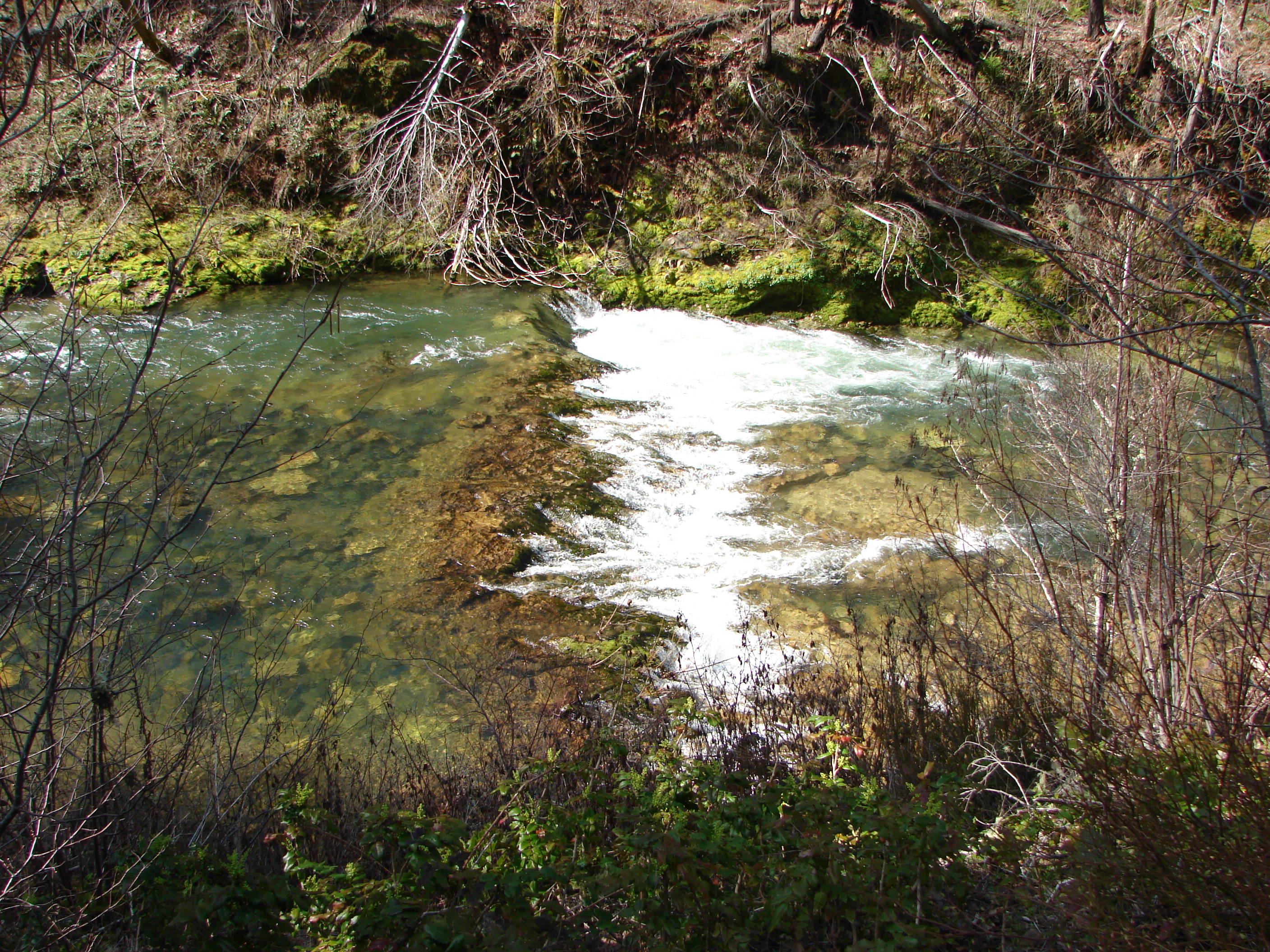
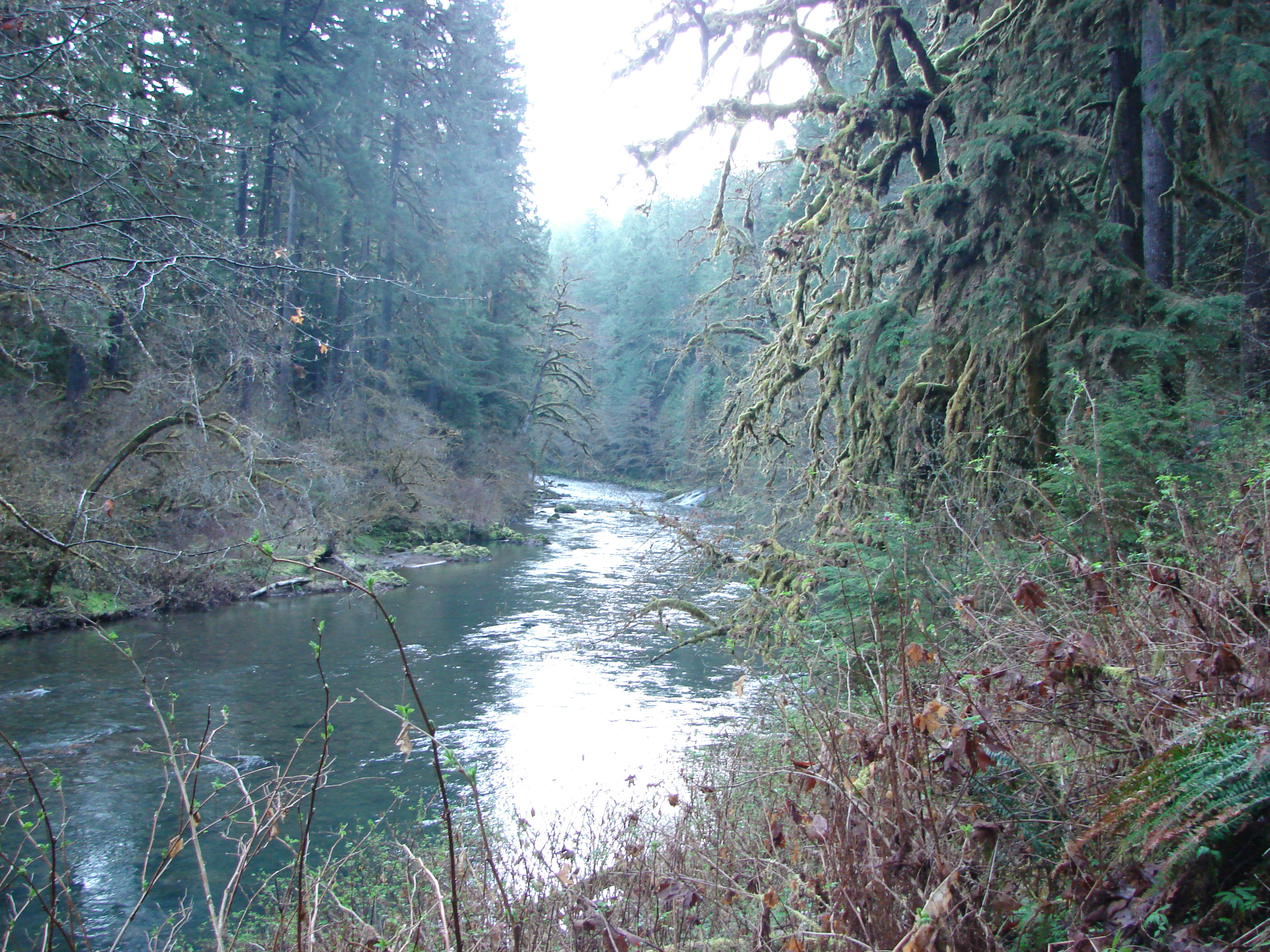
Fall Creek
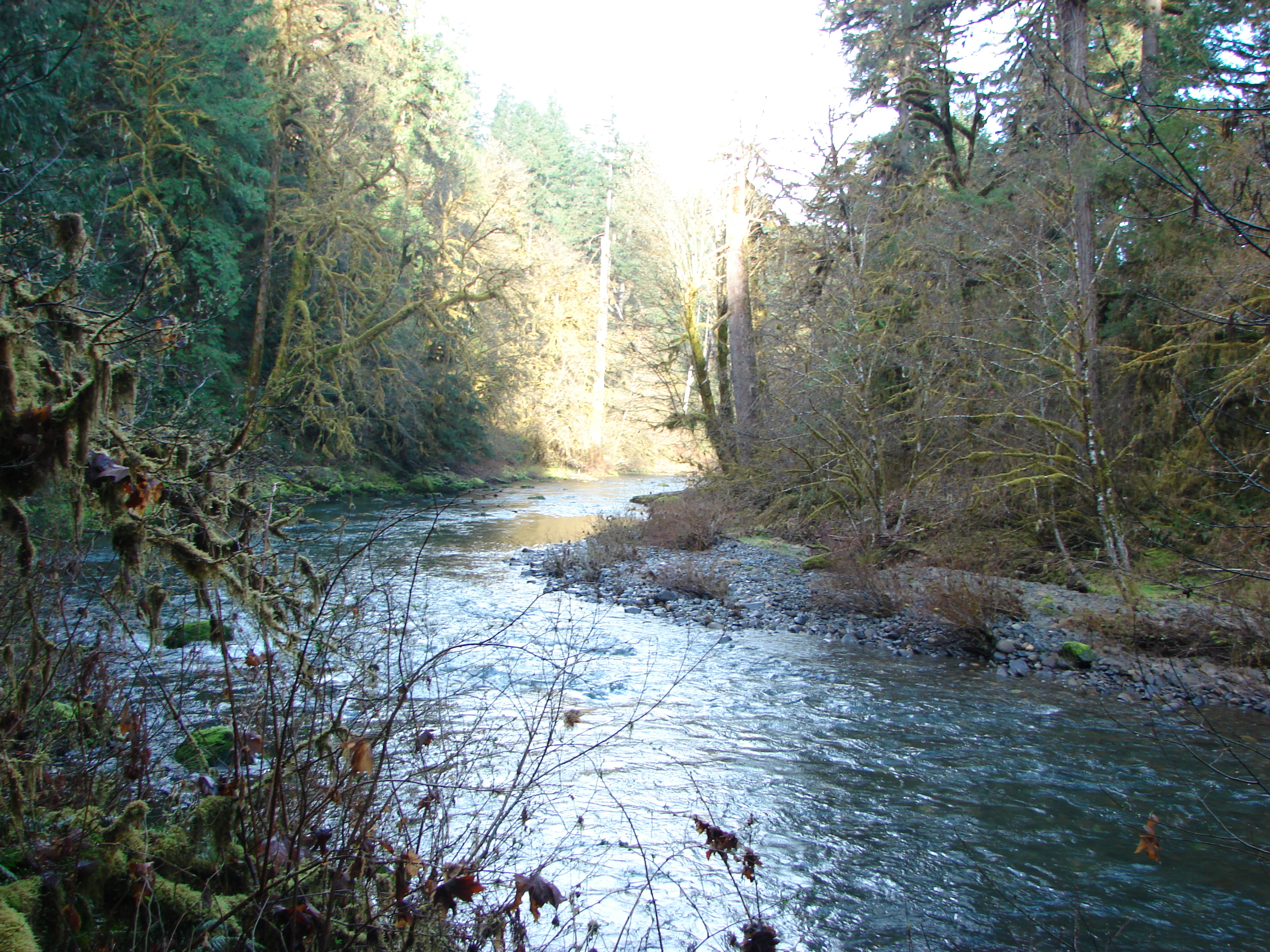
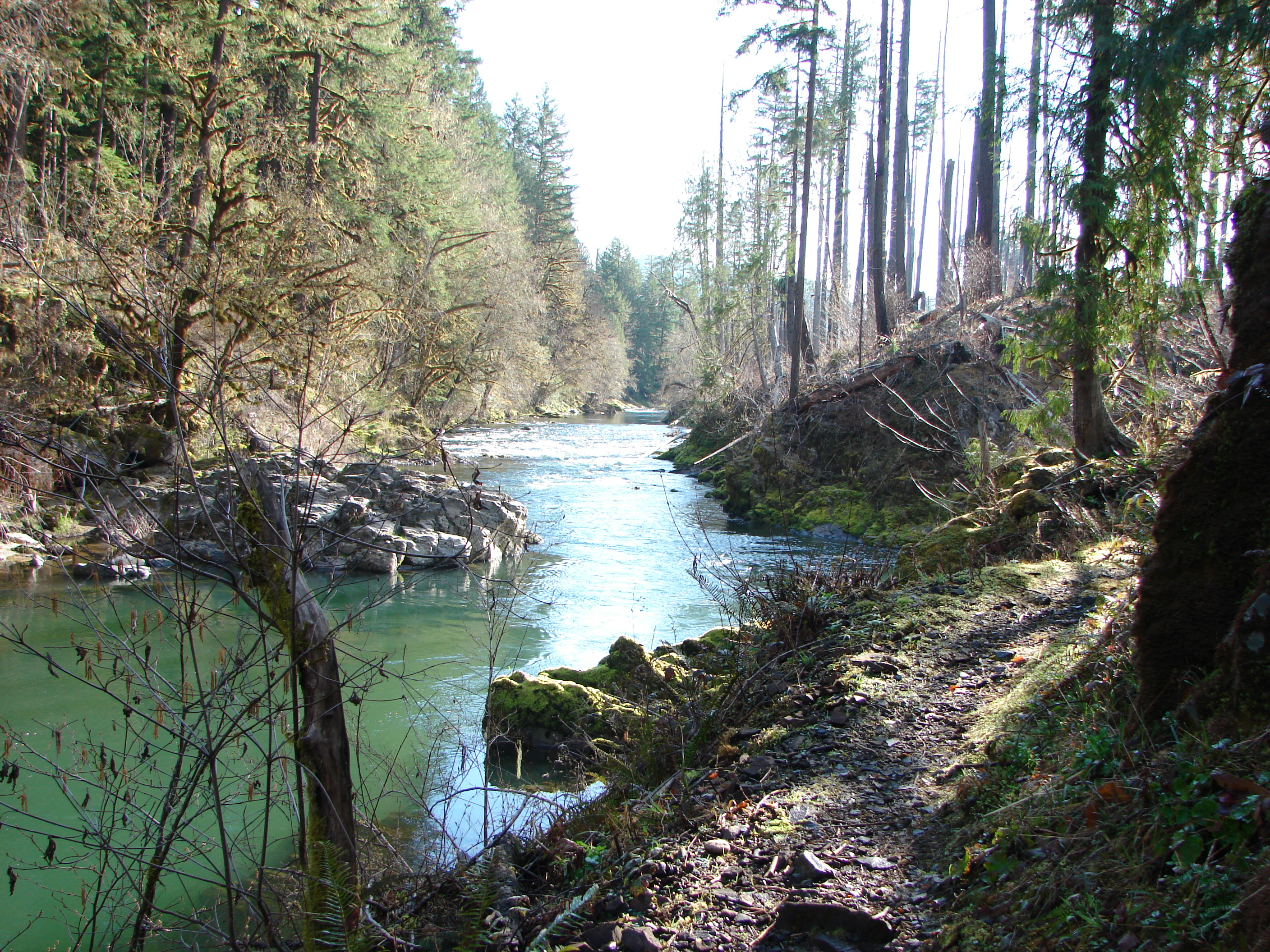
Fall Creek
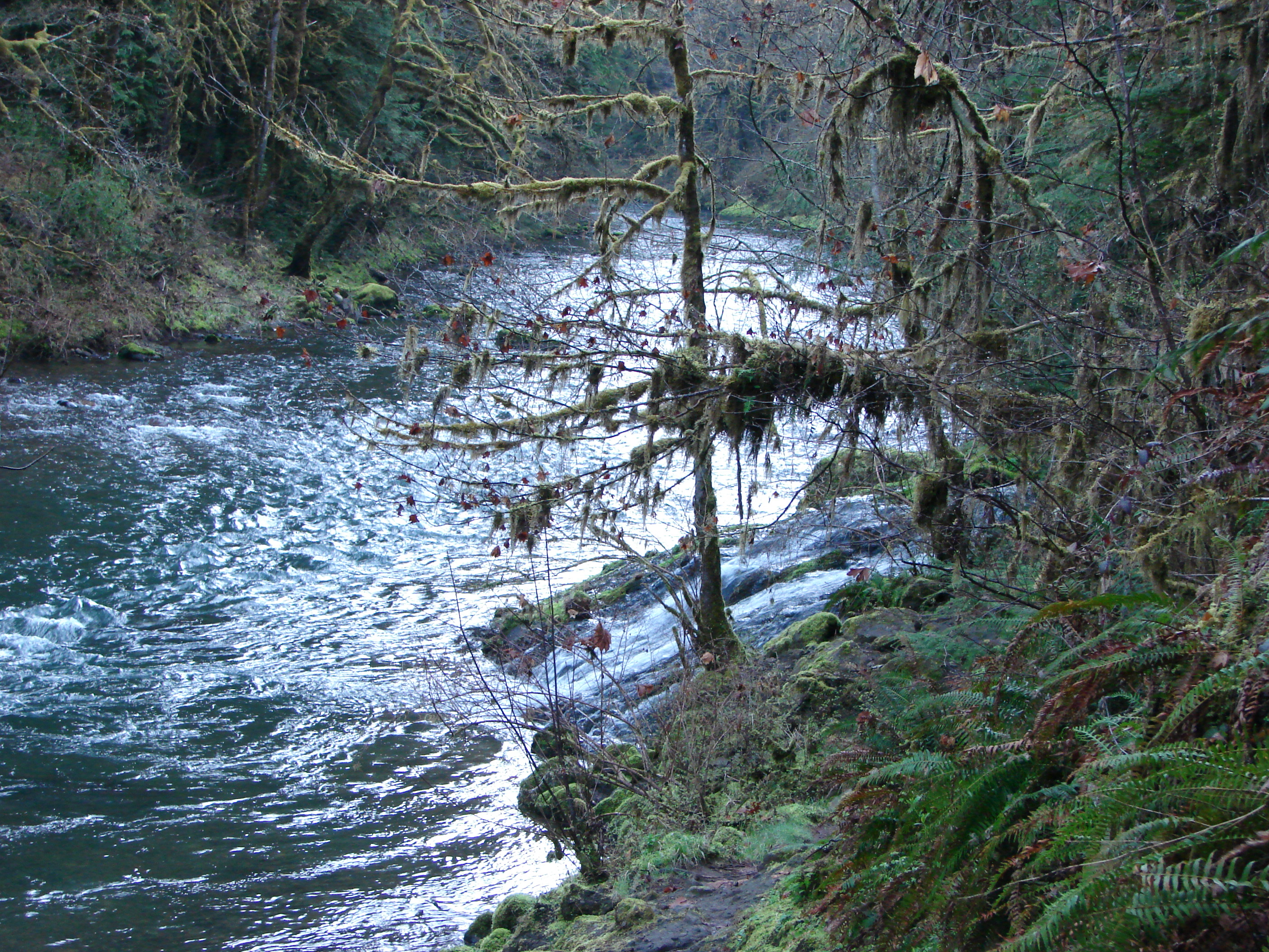
Fall Creek

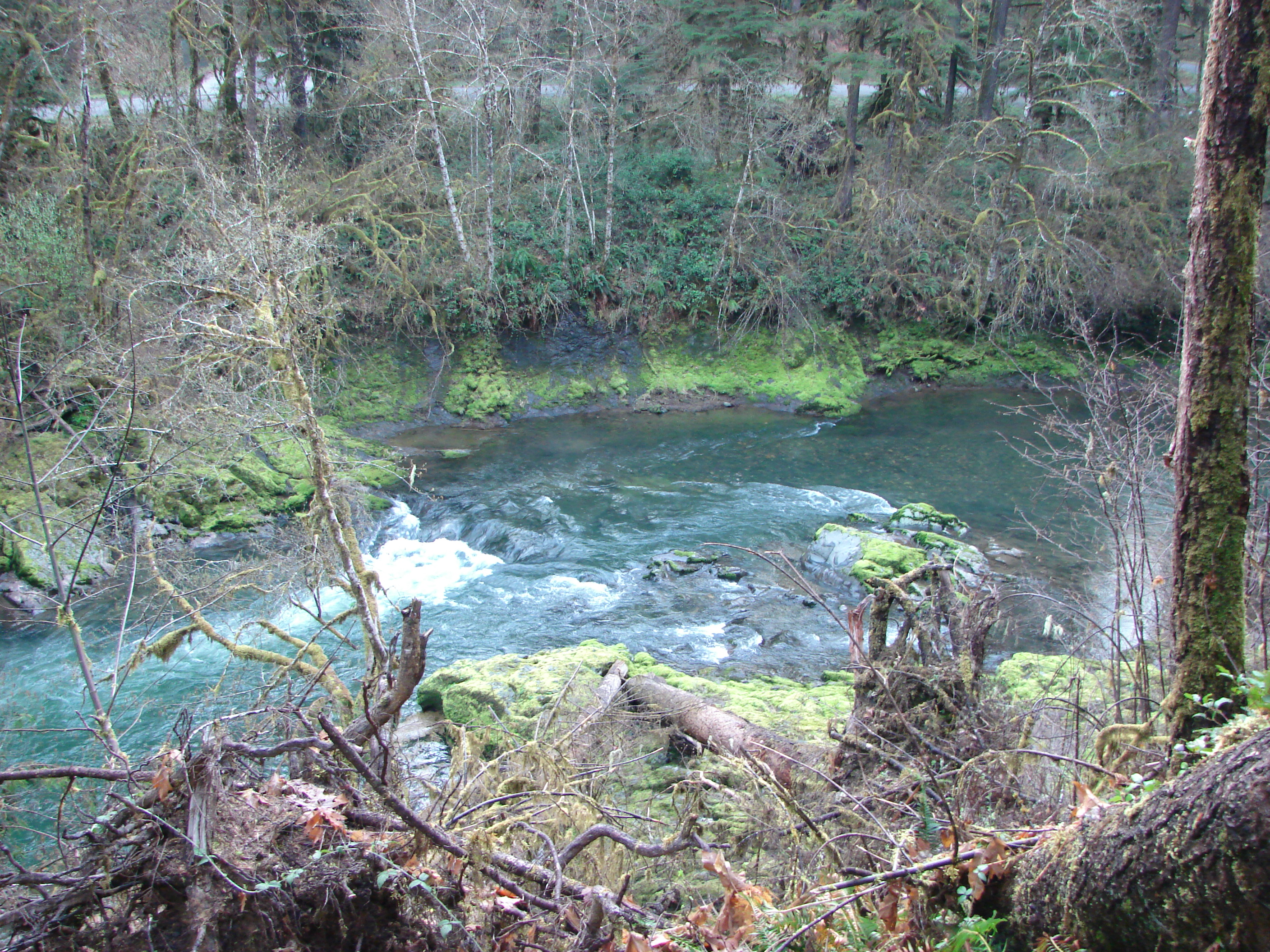
Fall Creek

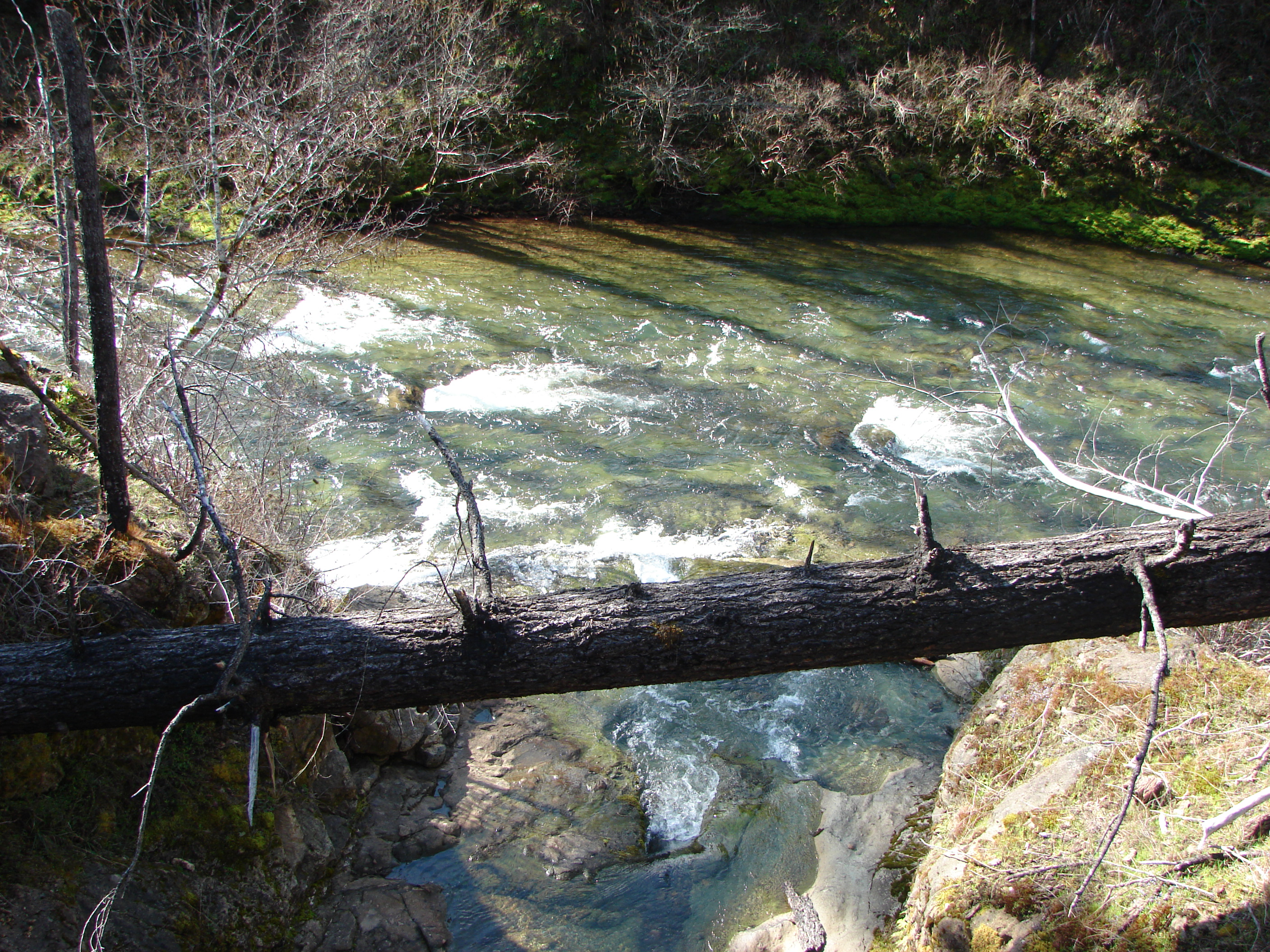
Fall Creek
Fall Creek

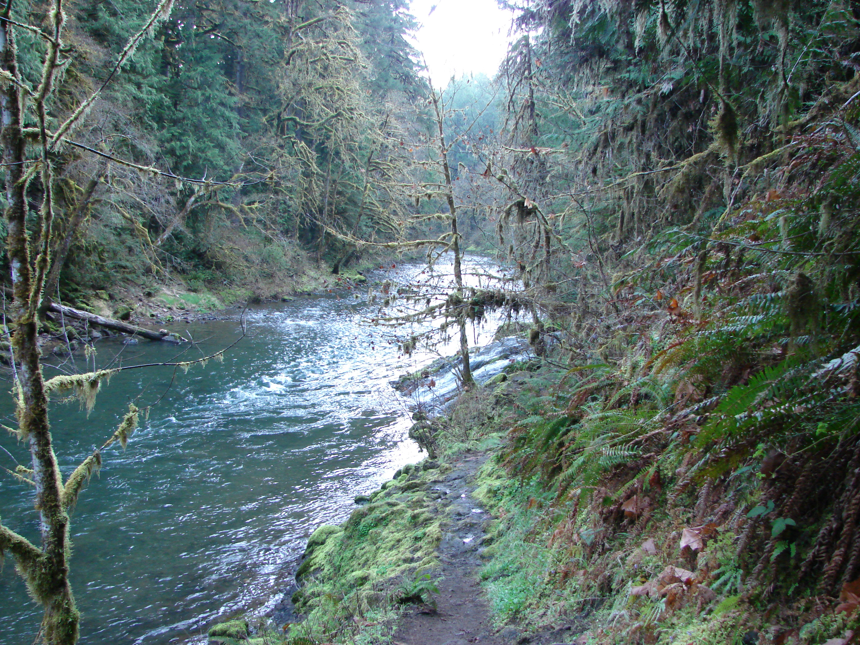
Fall Creek Trail
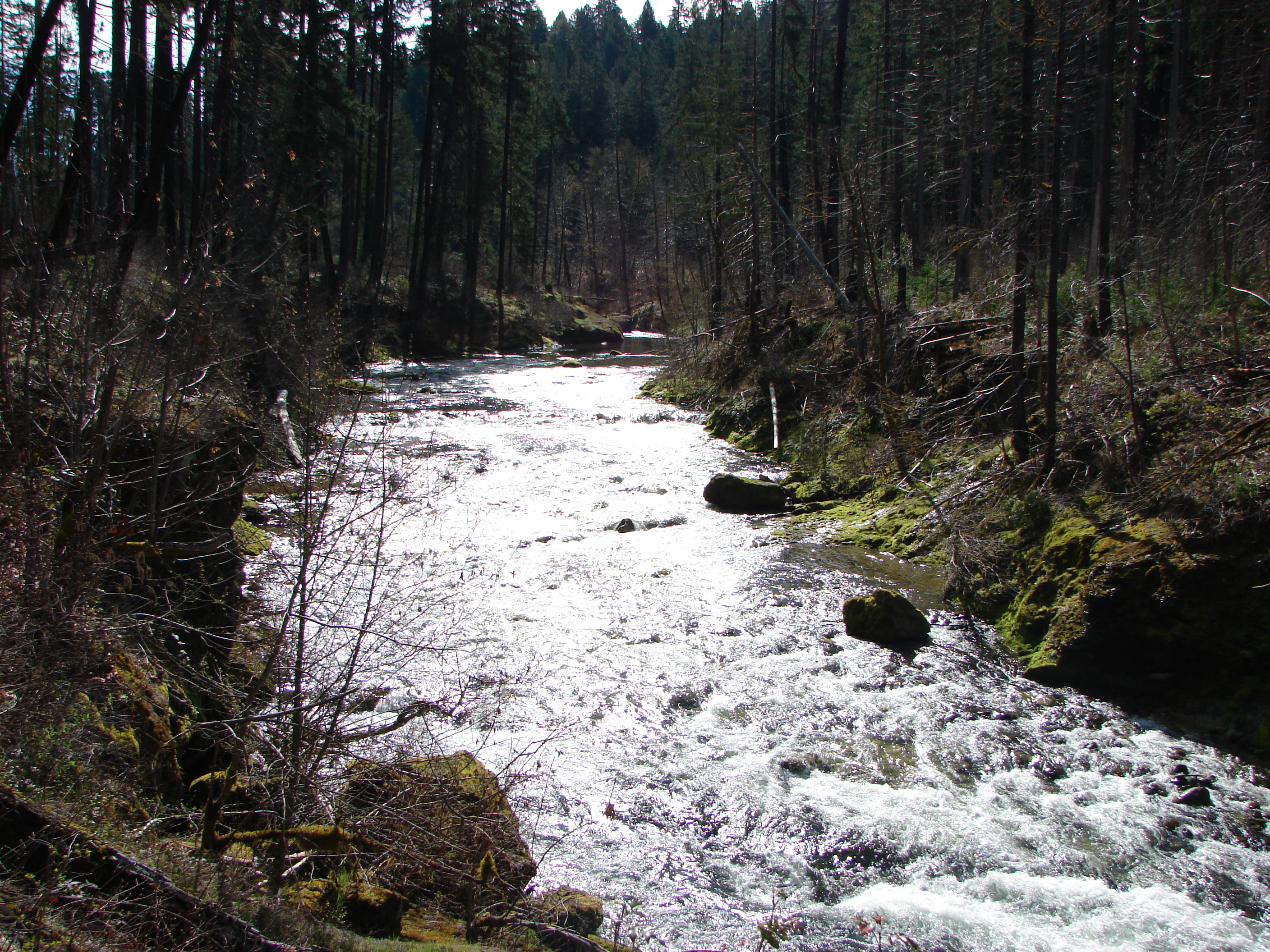
Fall Creek

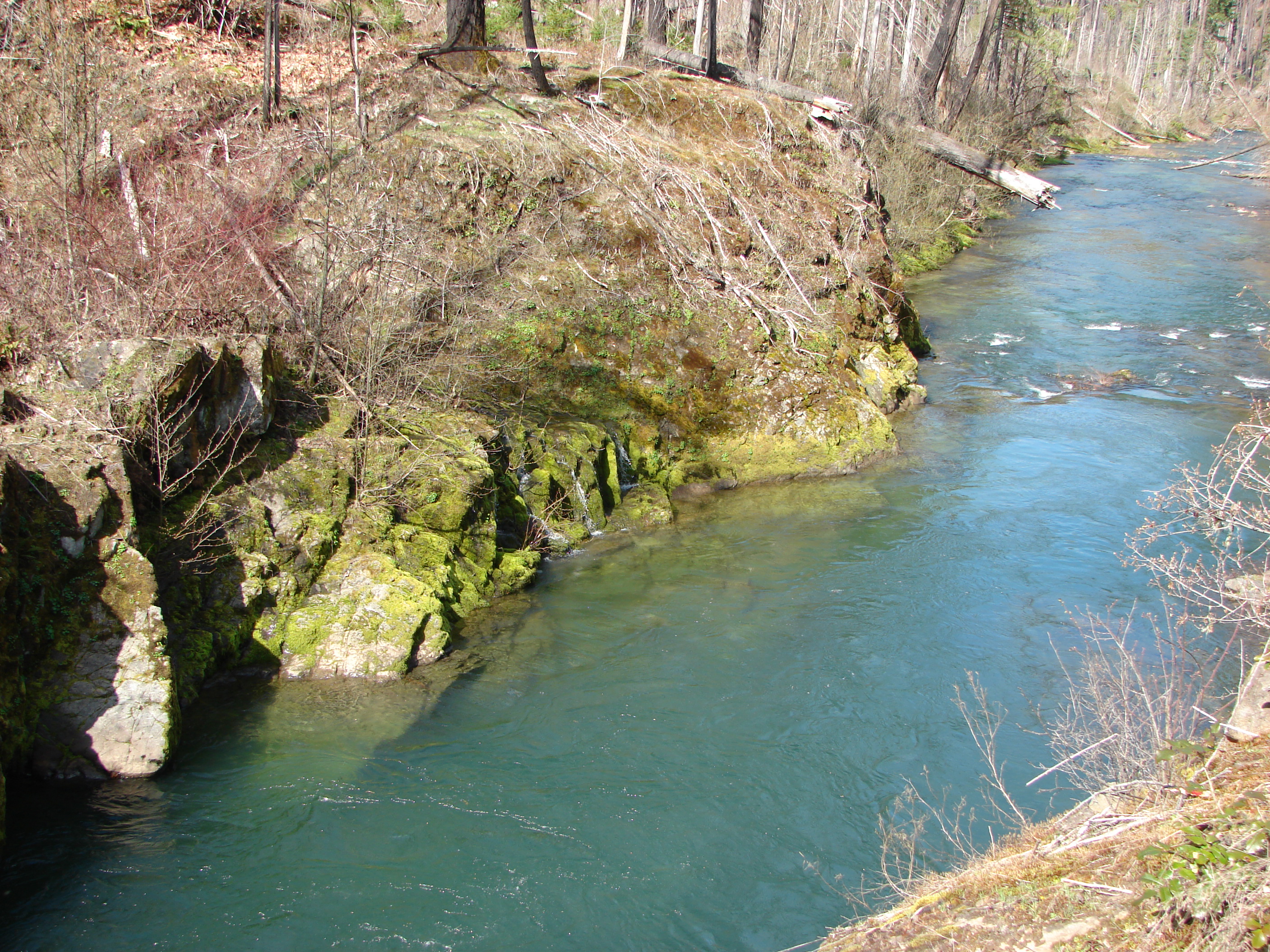
Fall Creek
Fall Creek
Fall Creek
Fall Creek

[193/365] #eugene #oregon #dexter

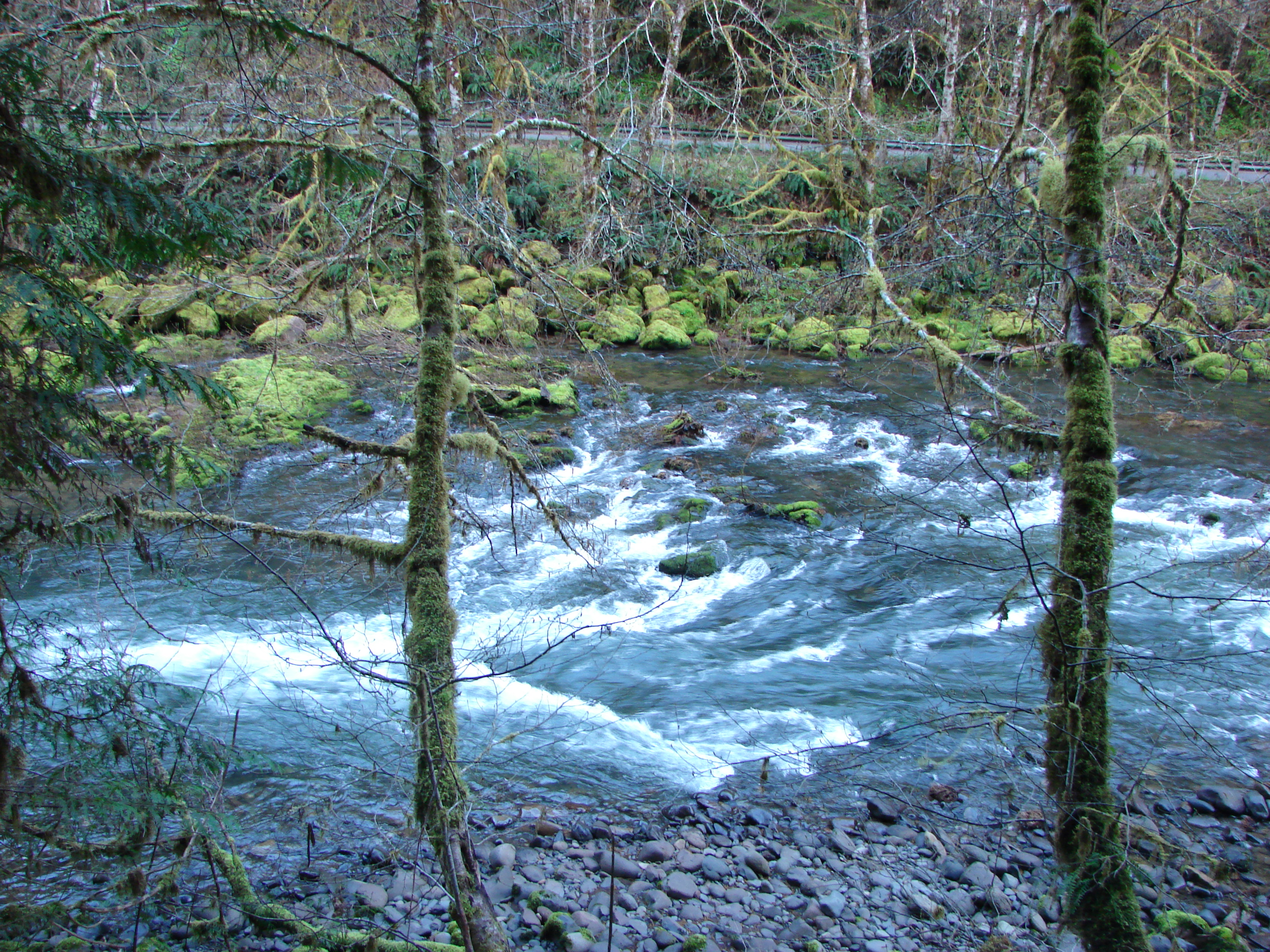
Fall Creek
Fall Creek
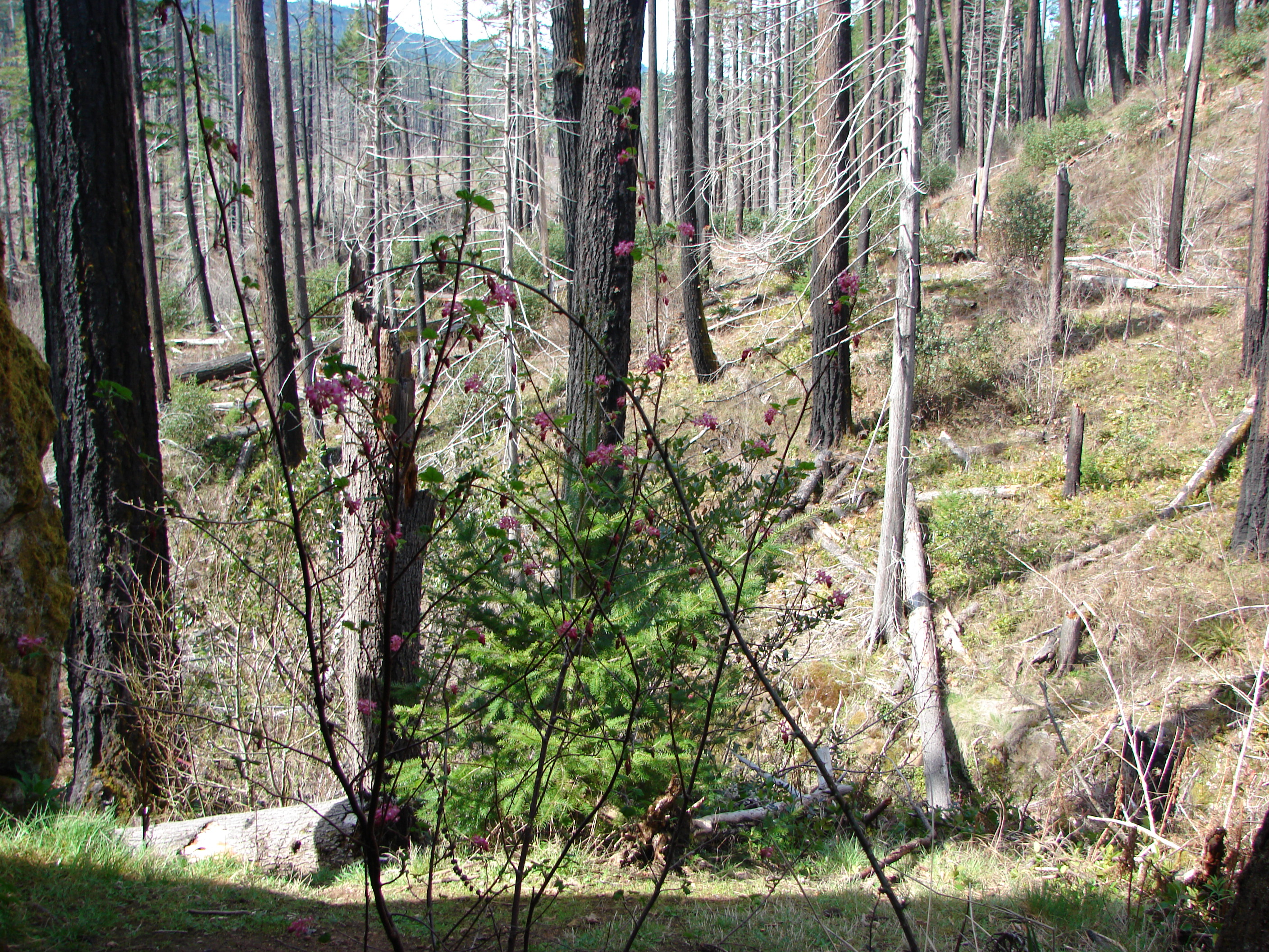
Red-flowering currant
Fall Creek
Fall Creek
Fall Creek
Fall Creek
Topographic Map of Lane County, OR, USA
Find elevation by address:

Places in Lane County, OR, USA:
Florence
Springfield
Eugene
Mapleton
Marcola
Creswell
Cheshire
Oakridge
Cottage Grove
Westlake
Veneta
Dorena
Noti
Blachly
Deadwood
Swisshome
Elmira
Diamond Peak
Black Butte
McKenzie Hwy, Vida, OR, USA
Blachly
Blachly
Blachly
Blachly
Blachly
Blachly
Blachly
Blachly
Blachly
Blachly
Blachly
Blachly
Blachly
Blachly
Blachly
Blachly
Blachly
Blachly
Blachly
Blachly
Blachly
Blachly
Blachly
Blachly
Blachly
Blachly
Blachly
Blachly
Blachly
Walton
Cushman
Hunter Rd, Veneta, OR, USA
Mosby Creek Rd, Cottage Grove, OR, USA
Mckenzie Bridge
Mccredie Springs
Cedar Flat
Dunes City
Leaburg
Vida
Wildwood
Crow
Deerhorn
Fall Creek
Glenada
Greenleaf
Hadleyville
Heceta Beach
Horton
Junction City
Lorane
Low Pass
Lowell
Mill Camp
Mohawk
Pleasant Hill
Rainrock
Saginaw
Searose Beach
Siltcoos
Triangle Lake
Vaughn
Walker
North Springfield
Cedar Flat
Westfir
Dexter
Rainbow
Waldo Lake
Coburg
Places near Lane County, OR, USA:
Fall Creek Trailhead #1
Lowell
Leaburg
Deerhorn
40668 Mckenzie Hwy
Fall Creek
90087 Greenwood Dr
Dexter
81997 Lost Creek Rd
39286 Old Giustina Mill Rd
Page Ln, Springfield, OR, USA
Cedar Flat
Cedar Flat
Vida
45896 Mckenzie Hwy
McKenzie Hwy, Vida, OR, USA
38134 Mckenzie Hwy
39400 Upper Camp Creek Rd
39110 Upper Camp Creek Rd
38808 Upper Camp Creek Rd
Recent Searches:
- Elevation of Corso Fratelli Cairoli, 35, Macerata MC, Italy
- Elevation of Tallevast Rd, Sarasota, FL, USA
- Elevation of 4th St E, Sonoma, CA, USA
- Elevation of Black Hollow Rd, Pennsdale, PA, USA
- Elevation of Oakland Ave, Williamsport, PA, USA
- Elevation of Pedrógão Grande, Portugal
- Elevation of Klee Dr, Martinsburg, WV, USA
- Elevation of Via Roma, Pieranica CR, Italy
- Elevation of Tavkvetili Mountain, Georgia
- Elevation of Hartfords Bluff Cir, Mt Pleasant, SC, USA