Elevation of Cottage Grove, OR, USA
Location: United States > Oregon > Lane County >
Longitude: -123.0595246
Latitude: 43.797623
Elevation: 196m / 643feet
Barometric Pressure: 0KPa
Related Photos:

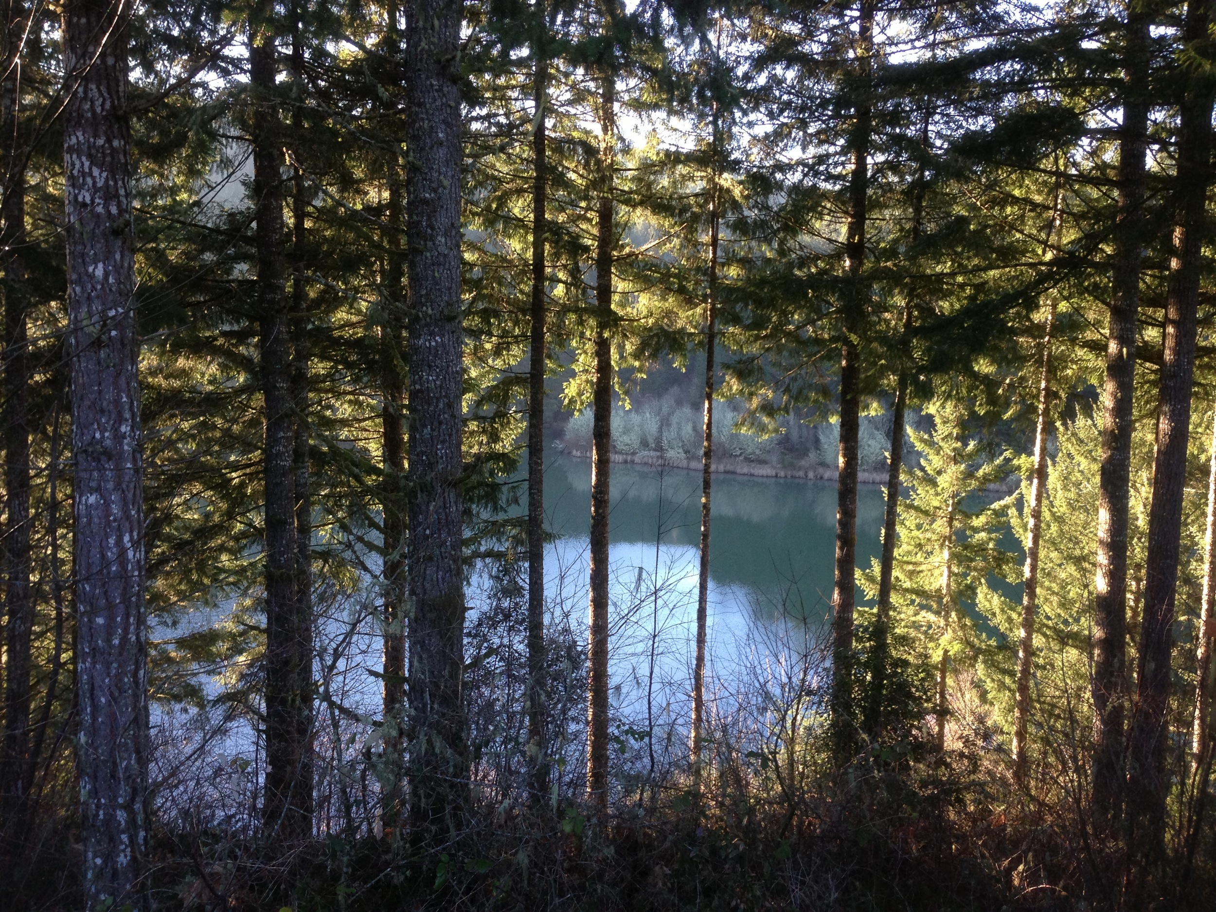
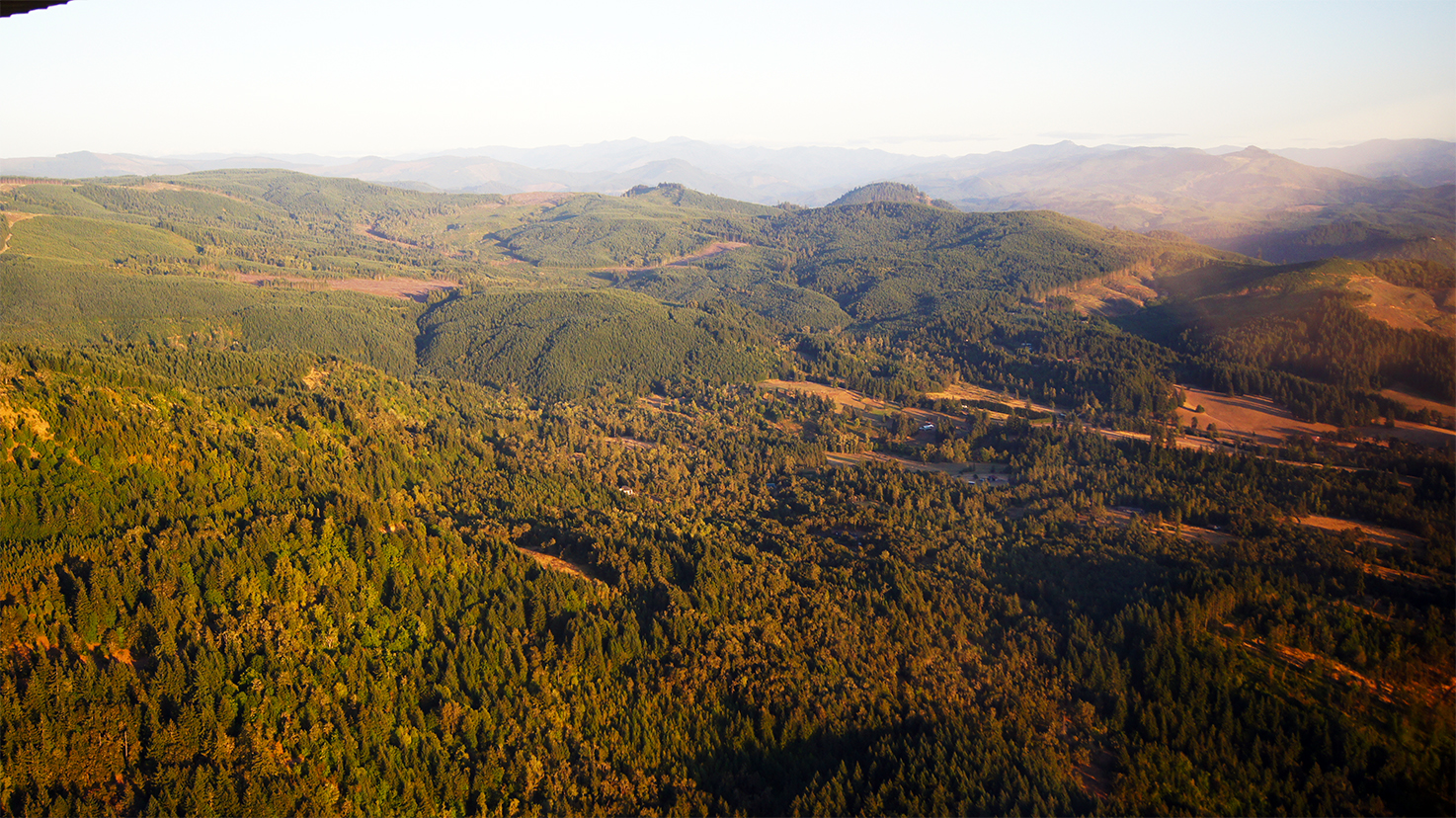
Lunch stop view of Dorena

Windermere On The Beach, Bandon, OR

Lyndsie 1

Lyndsie 1 Touched Up

taking in the view on a misty day

CA Trip Day 12: That Train Don't Stop Here Anymore
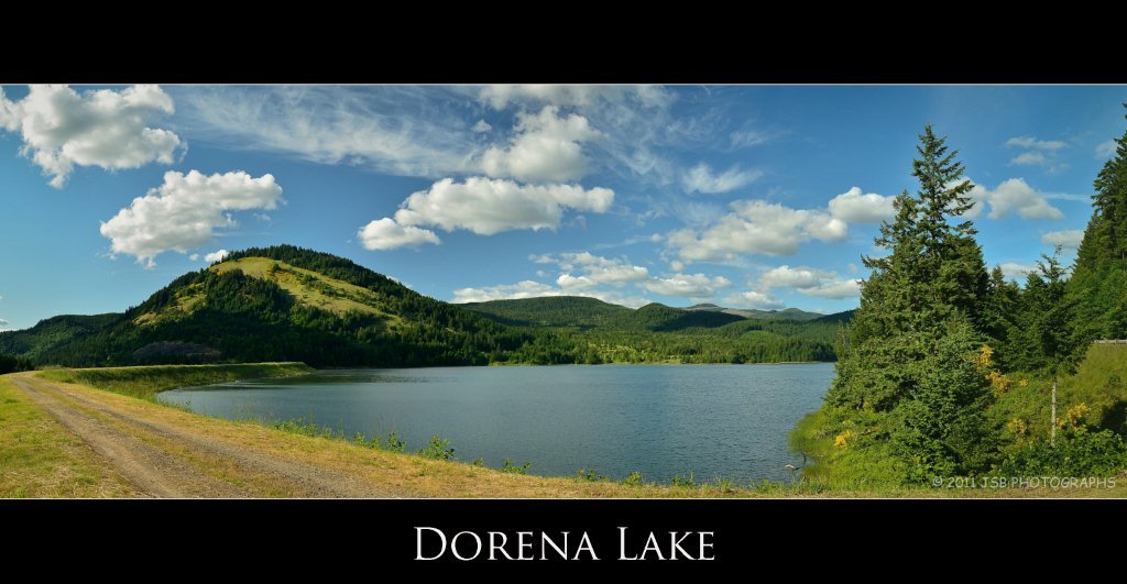
Dorena Lake Pano

Fodder on day 9
Camera Roll-306

IMG_2477.JPG

IMG_2478.JPG
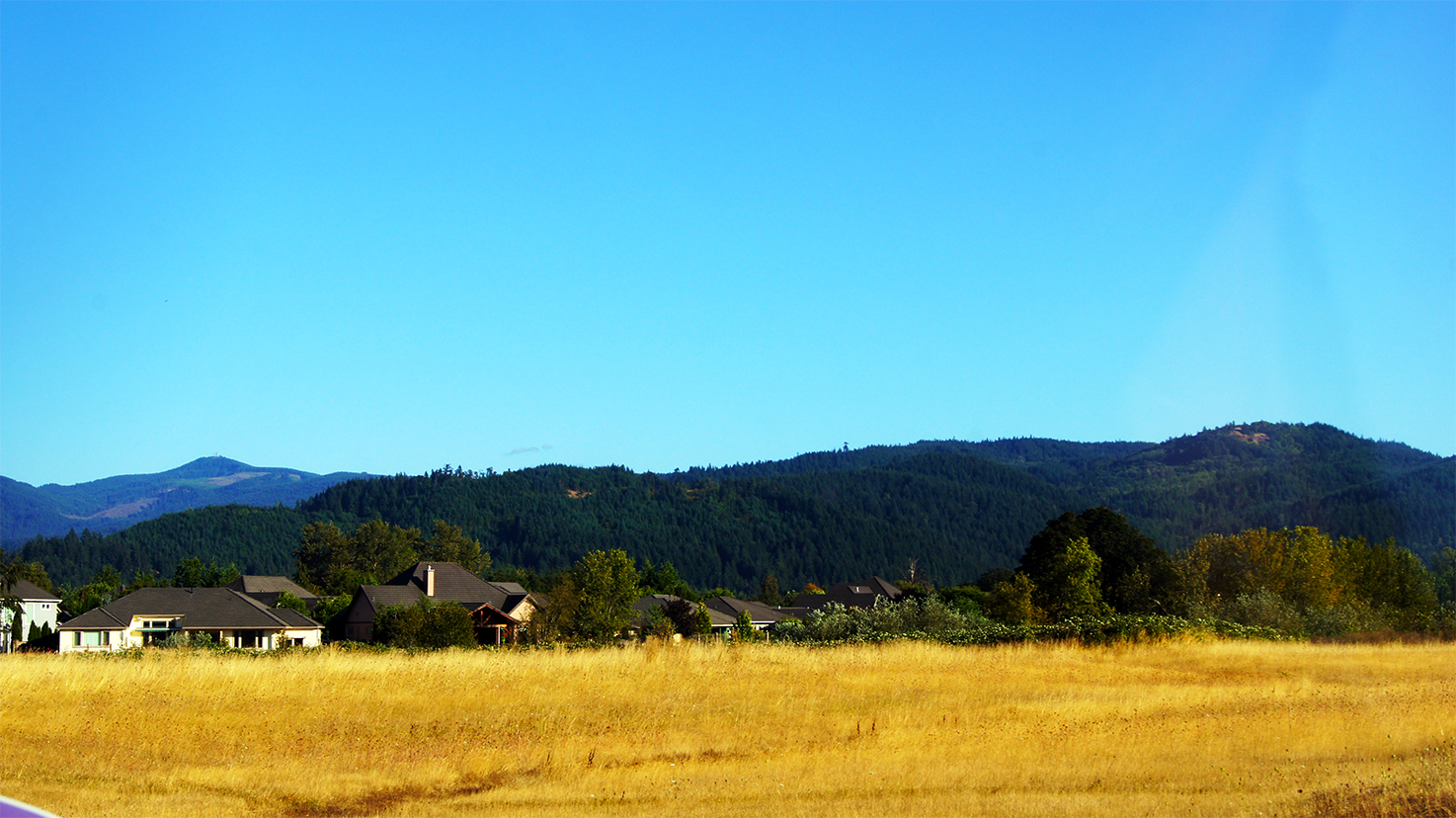
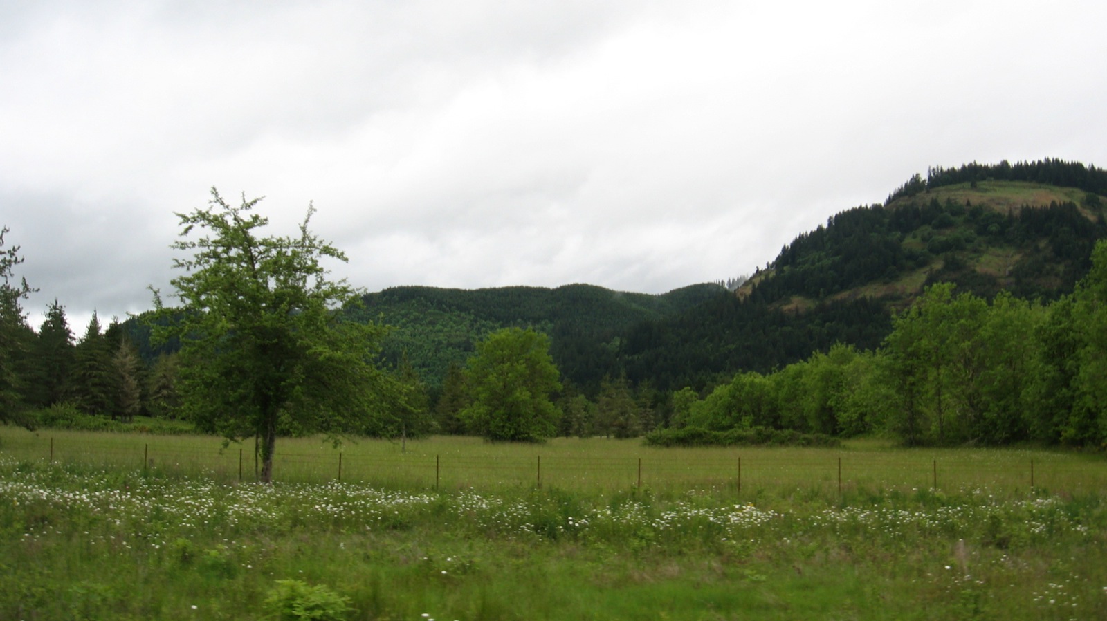
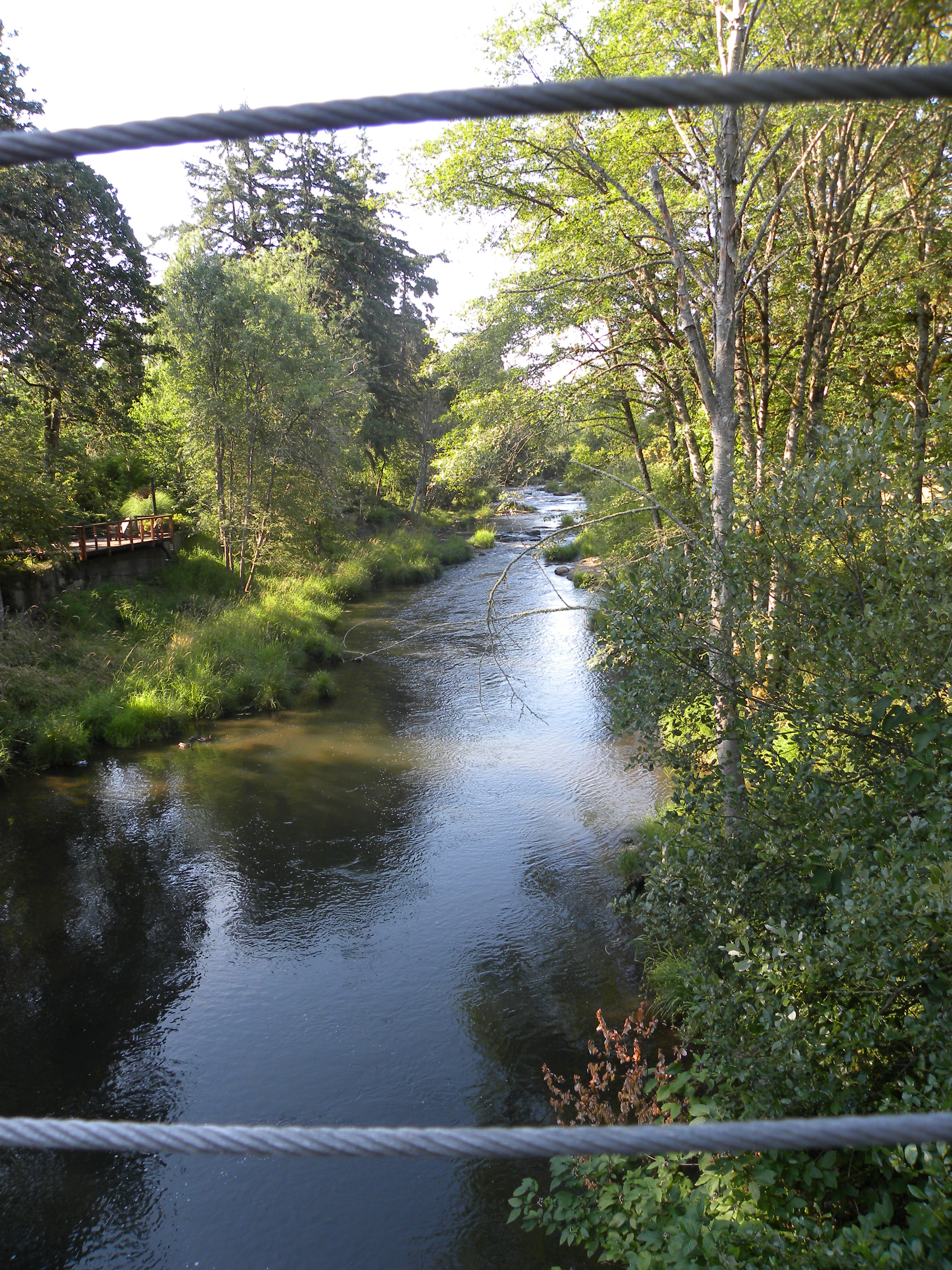
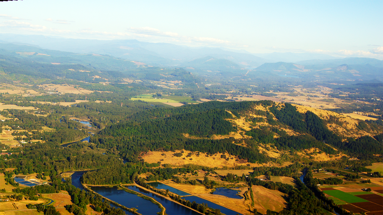
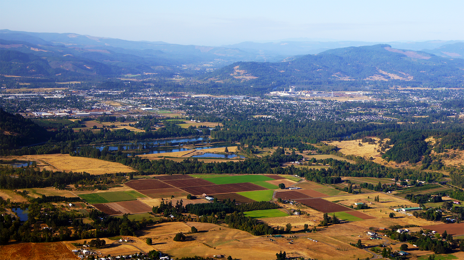
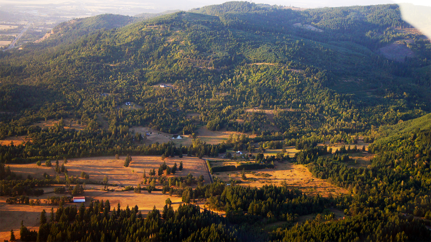
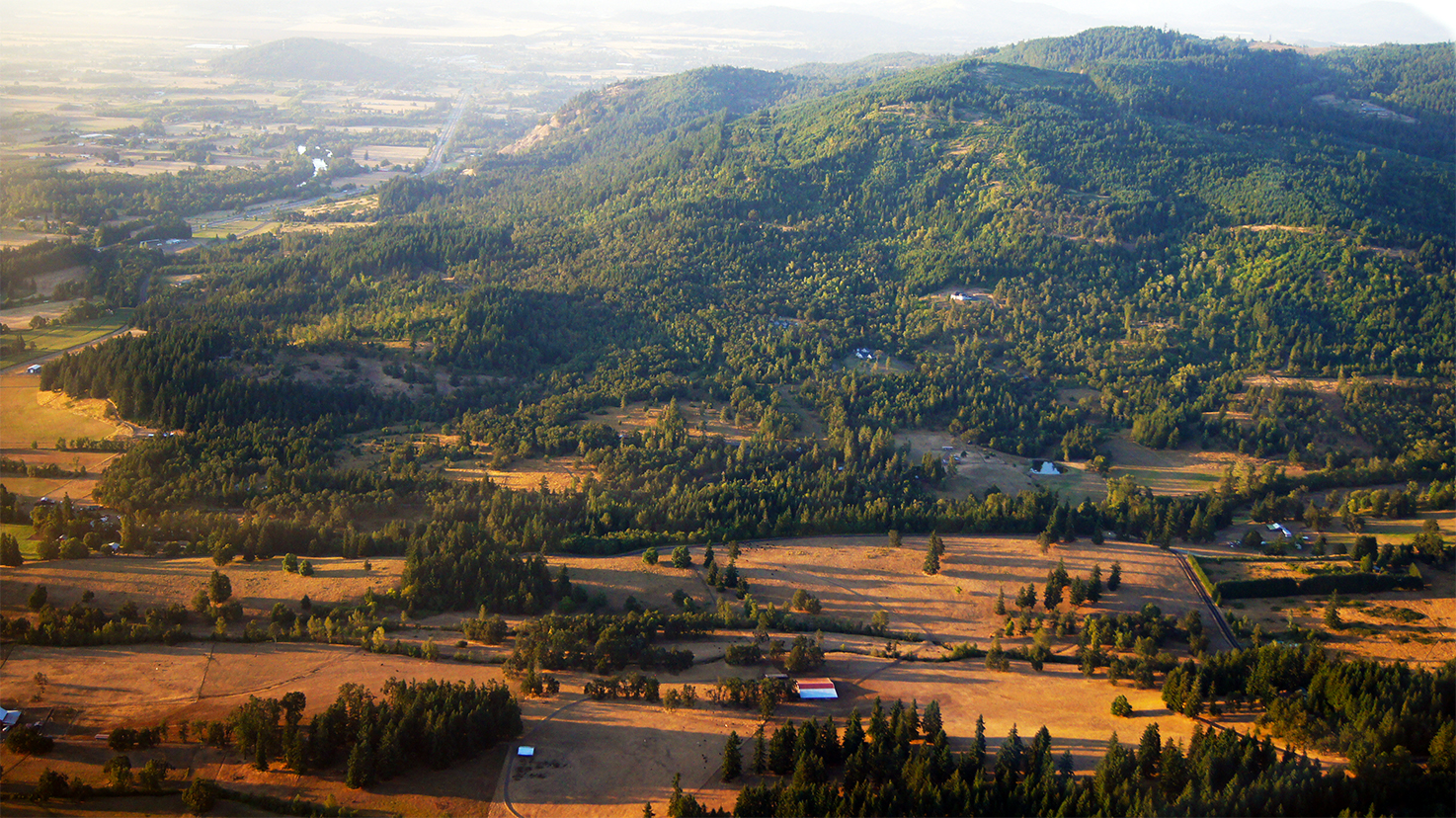
Willamette Valley

Windermere On The Beach
IMG_2485.JPG

Dandelion Sunset

Still walking
Cottage Grove Research Trip by Stacey Malstrom (37)

IMG_1738.JPG

iris opening

A65V 132 (2) Under The Bridge
Willamette Valley
Willamette Valley
Willamette Valley

1-20-11
Willamette Valley

Willamette Valley
Willamette Valley
Topographic Map of Cottage Grove, OR, USA
Find elevation by address:

Places in Cottage Grove, OR, USA:
34747 Sunflower Ct
80502 Delight Valley School Rd
201 Grant Ave
1101 E Polk Ave
78262 Cedar Park Rd
1375 Anthony Ave
412 Adams Ave
Shady Oaks
Places near Cottage Grove, OR, USA:
412 Adams Ave
337 S 2nd St
1101 E Polk Ave
1375 Anthony Ave
201 Grant Ave
Saginaw
78262 Cedar Park Rd
Shady Oaks
80502 Delight Valley School Rd
Mosby Creek Rd, Cottage Grove, OR, USA
Walker
34747 Sunflower Ct
31352 Lynx Hollow Rd
33176 Howe Ln
33838 E River Dr
82919 Hurlburt Ln
Creswell
Comstock
82241 Bear Mountain Rd
83590 Rock Hill Rd
Recent Searches:
- Elevation map of Greenland, Greenland
- Elevation of Sullivan Hill, New York, New York, 10002, USA
- Elevation of Morehead Road, Withrow Downs, Charlotte, Mecklenburg County, North Carolina, 28262, USA
- Elevation of 2800, Morehead Road, Withrow Downs, Charlotte, Mecklenburg County, North Carolina, 28262, USA
- Elevation of Yangbi Yi Autonomous County, Yunnan, China
- Elevation of Pingpo, Yangbi Yi Autonomous County, Yunnan, China
- Elevation of Mount Malong, Pingpo, Yangbi Yi Autonomous County, Yunnan, China
- Elevation map of Yongping County, Yunnan, China
- Elevation of North 8th Street, Palatka, Putnam County, Florida, 32177, USA
- Elevation of 107, Big Apple Road, East Palatka, Putnam County, Florida, 32131, USA
- Elevation of Jiezi, Chongzhou City, Sichuan, China
- Elevation of Chongzhou City, Sichuan, China
- Elevation of Huaiyuan, Chongzhou City, Sichuan, China
- Elevation of Qingxia, Chengdu, Sichuan, China
- Elevation of Corso Fratelli Cairoli, 35, Macerata MC, Italy
- Elevation of Tallevast Rd, Sarasota, FL, USA
- Elevation of 4th St E, Sonoma, CA, USA
- Elevation of Black Hollow Rd, Pennsdale, PA, USA
- Elevation of Oakland Ave, Williamsport, PA, USA
- Elevation of Pedrógão Grande, Portugal