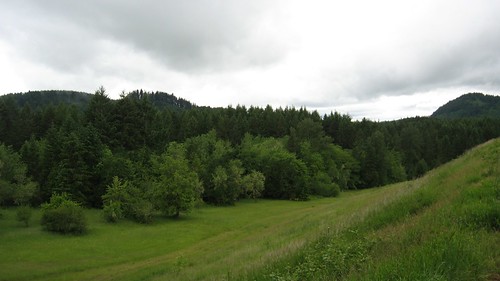
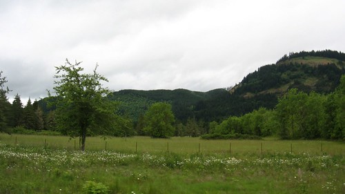
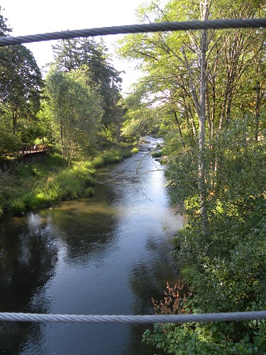
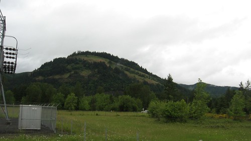
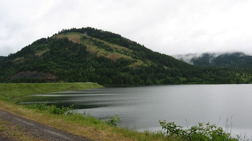
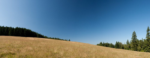
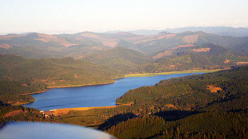
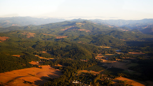
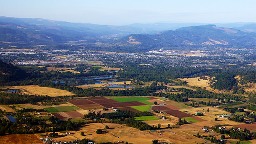
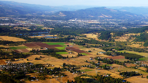
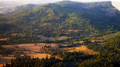
Elevation of Saginaw, OR, USA
Location: United States > Oregon > Lane County >
Longitude: -123.04535
Latitude: 43.8326234
Elevation: 189m / 620feet
Barometric Pressure: 99KPa
Related Photos:
Topographic Map of Saginaw, OR, USA
Find elevation by address:

Places near Saginaw, OR, USA:
80502 Delight Valley School Rd
Walker
Cottage Grove
412 Adams Ave
337 S 2nd St
1375 Anthony Ave
1101 E Polk Ave
78262 Cedar Park Rd
201 Grant Ave
33176 Howe Ln
33838 E River Dr
Mosby Creek Rd, Cottage Grove, OR, USA
31352 Lynx Hollow Rd
82919 Hurlburt Ln
34747 Sunflower Ct
Shady Oaks
Creswell
82241 Bear Mountain Rd
83590 Rock Hill Rd
83390 Enterprise Rd
Recent Searches:
- Elevation of Corso Fratelli Cairoli, 35, Macerata MC, Italy
- Elevation of Tallevast Rd, Sarasota, FL, USA
- Elevation of 4th St E, Sonoma, CA, USA
- Elevation of Black Hollow Rd, Pennsdale, PA, USA
- Elevation of Oakland Ave, Williamsport, PA, USA
- Elevation of Pedrógão Grande, Portugal
- Elevation of Klee Dr, Martinsburg, WV, USA
- Elevation of Via Roma, Pieranica CR, Italy
- Elevation of Tavkvetili Mountain, Georgia
- Elevation of Hartfords Bluff Cir, Mt Pleasant, SC, USA


