Elevation of Dexter, OR, USA

Location: United States > Oregon > Lane County >

Longitude: -122.82285

Latitude: 43.915959

Elevation: 203m / 666feet

Barometric Pressure: 99KPa

Elevation Map:

elevation map of Dexter, OR, USA

Satellite Map:

Satellite map of Dexter, OR, USA

Related Photos:

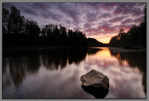
oregon sage springfield willametteriver middlefork andrewkumler
Clearwater Sunset....
oregon coast nikon andrew capekiwanda kumler d3x 1635mmvrf4
Kiwanda Sundown
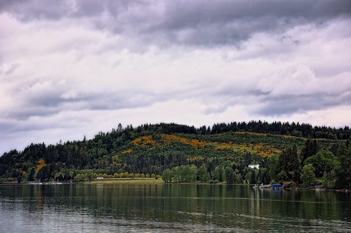
trees nature day cloudy hills cloudcover project365 colorefexpro nikond90 dexterreservoir day1flighttocraterlake
Hills Behind a Lakeshore View
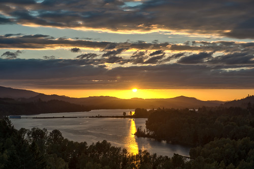
travel trees sunset summer sky plants lake nature colors beauty weather clouds oregon river seasons unitedstates noflash reservoir september northamerica sunburst portfolio sunbeam hdr locations lowell locale godrays willamettevalley manualmode iso50 2470mmf28 naturalevents 2013 62mm 500px lookoutpointdam geo:state=oregon exif:iso_speed=50 afsnikkor2470mmf28g dexterreservoir hasmetastyletag hascameratype naturallocale adjectivesfeelingdescription haslenstype selfrating4stars exif:focal_length=62mm camera:make=nikoncorporation 140secatf56 exif:make=nikoncorporation geo:countrys=unitedstates exif:lens=240700mmf28 exif:aperture=ƒ56 subjectdistanceunknown nikond800e exif:model=nikond800e camera:model=nikond800e 2013travel september22013 craterlake0902201309062013 geo:city=lowell geo:lat=43911286666667 geo:lon=12275116166667 43°5441n122°454w lowelloregonunitedstates
Sunset over the Dexter Reservoir
portrait male oregon train nicole model jasper break dancing tracks lovejoy springfeild mygearandme
Train Break
oregon eugene springfield mountpisgah chloekerns mollykerns
Taking in the views
red oregon barn jasper valley willamette
Red Barn
macro oregon eugene pacificnorthwest wildflowers lanecounty babyblueeyes nemophilamenziesii willamettevalley mountpisgaharboretum
Baby Blue Eyes
blue water flow lights widescreen jets relaxing fluid hottub 169 spa hotsprings grandee
Blue Streams
landscape hills willamettevalley
Pretty Much Why I Stayed in Oregon
macro oregon eugene pacificnorthwest wildflowers lanecounty willamettevalley catsearlily calochortustolmiei mountpisgaharboretum
Cat's Ear Lily
willametteriver mtpisgaharboretum
Looking up the Willamette
mtpisgaharboretum
Mountains in the Distance
mtpisgaharboretum willametterivervalley
Wireframe Valley
Take me to the river
oregon mtpisgah lanecounty willamettevalley mountpisgah
Obscured view
from park landscape photography nikon mt view area recreation pisgah buford mountpisgah d90
View from Mt Pisgah
bridge oregon jasper coveredbridge 372015 pengrabridge jasperor pengracoveredbridge worldguidenumber372015
a2001-14-23
Closer view of Bushtit nest
my view
instagramapp square squareformat iphoneography uploaded:by=instagram
View on the hike down :-) #oregonexplored #pnw #pnwonderland
minnow lanecountyoregon lookoutpointreservoir specialworktrain up unionpacific siding clearcut diesel locomotive ge emd sd70m sd70ace c45accte freighttrain clouds trees rain
Special Work Train at Minnow
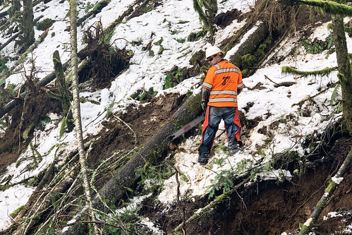
or58 treeremoval trees hazardtrees oregondot oregon damage wood safety chainsaw
Working together
or58 treeremoval trees hazardtrees oregondot oregon damage wood chainsaw safety snow
Judging the cut
sunset sky lake reflection panoramic reservoir dexter photostitched dexterreservoir
_AT_7513-18
reflection oregon marina boats pier crew rowboat lowell dexterlake coveredbridgeregatta coveredbridgeregatta2010
DSC06119 Lake Dexter marina
2018 f landscape oregon us2018 lowell unitedstates us sony a7iii day outdoor
20180902[180928]
Hiking Mount Pisgah
up unionpacific centerbeam lumber worktrain lanecounty fallcreekjunction
Shadows and light at Fall Creek Junction
square squareformat iphoneography instagramapp uploaded:by=instagram
[193/365] #eugene #oregon #dexter
eugeneoregon mtpisgah buford winter frost snow pleasanthilloregon
Frosty field at Buford
day ten.
square squareformat iphoneography instagramapp uploaded:by=instagram foursquare:venue=4dcb27ec7d8b84bcd54eb5c0
[70/365] #eugene #oregon #portland #sun #i5
oregon landscape eugene springfield pleasanthill day54 mountpisgah day54365 3652013 365the2013edition 23feb13
Day 54: Pleasant Hill, Oregon
amtrak coaststarlight
Amtrak Coast Starlight
square squareformat normal iphoneography instagramapp uploaded:by=instagram foursquare:venue=4c001145369476b03fcd8e1f
atop the dam with mt hood in the distance [153/365]
trees mountains oregon train landscape amtrak cascades rockymountains s3 coaststarlight
24 - From the Train 18 - Trackside Lake
sunset field nikon d300 willamettevalley 1224mmf4 oregongrass
Willamette Valley grass field
c45accte gevo ge diesel up unionpacific fallcreekjunction oregon lanecounty jasperroad worktrain
Work Train