Elevation of Fall Creek Trailhead #1, Big Fall Creek Rd, Fall Creek, OR, USA
Location: United States > Oregon > Lane County > Fall Creek >
Longitude: -122.619
Latitude: 43.9636
Elevation: 283m / 928feet
Barometric Pressure: 98KPa
Elevation Map:
Satellite Map:
Related Photos:

Fall Creek Trail
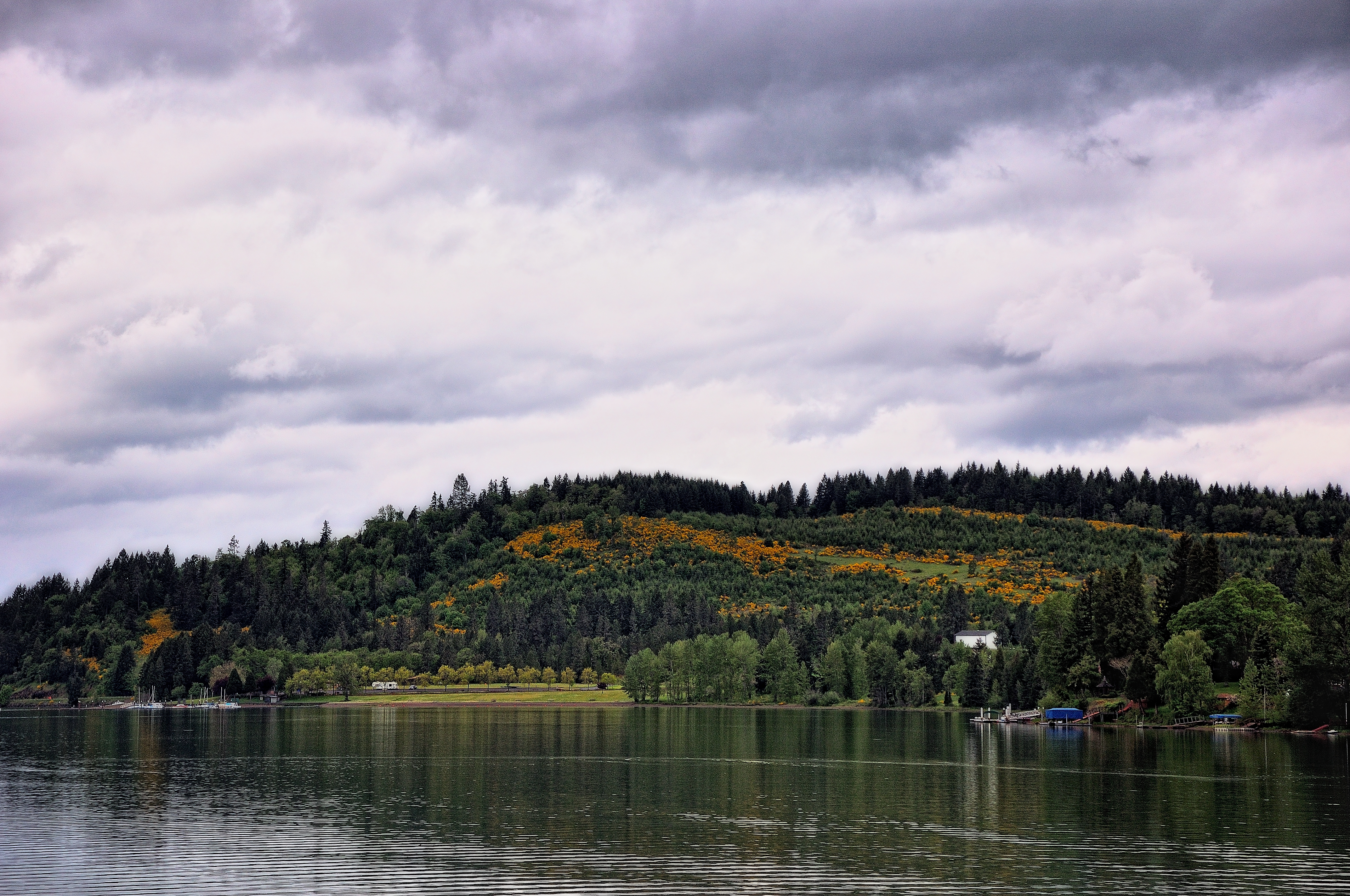
Hills Behind a Lakeshore View

South Creek Falls

Fall Creek, Autumn Study #1
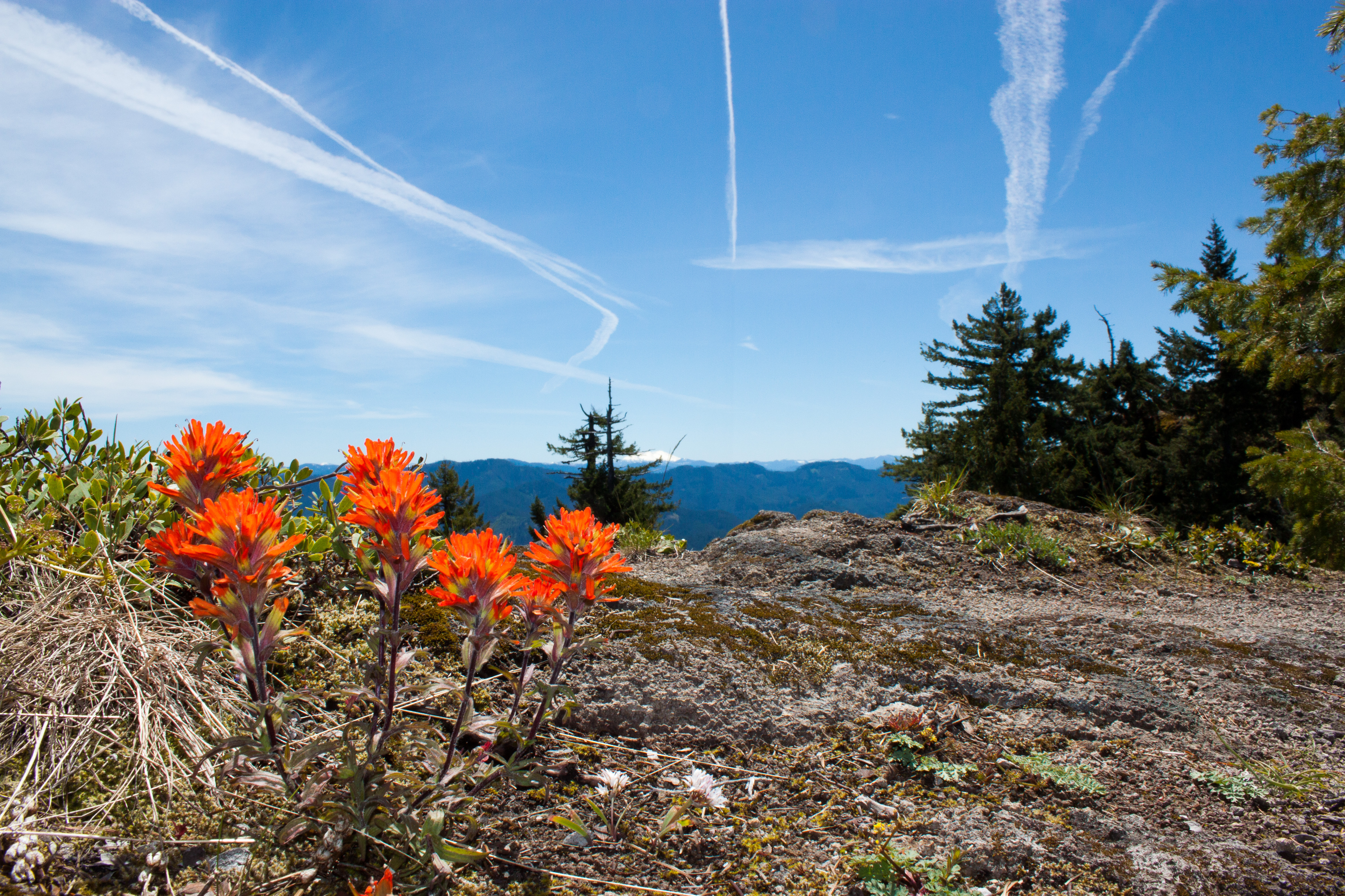
Wildflowers on the rocky top

Fall Creek, Autumn Study #3

View from the Fall Creek Trail

Fall Creek, Autumn Study #2

View from Little Cownhorn Lookout

View from Little Cownhorn Lookout

day ten.

20180902[175652]
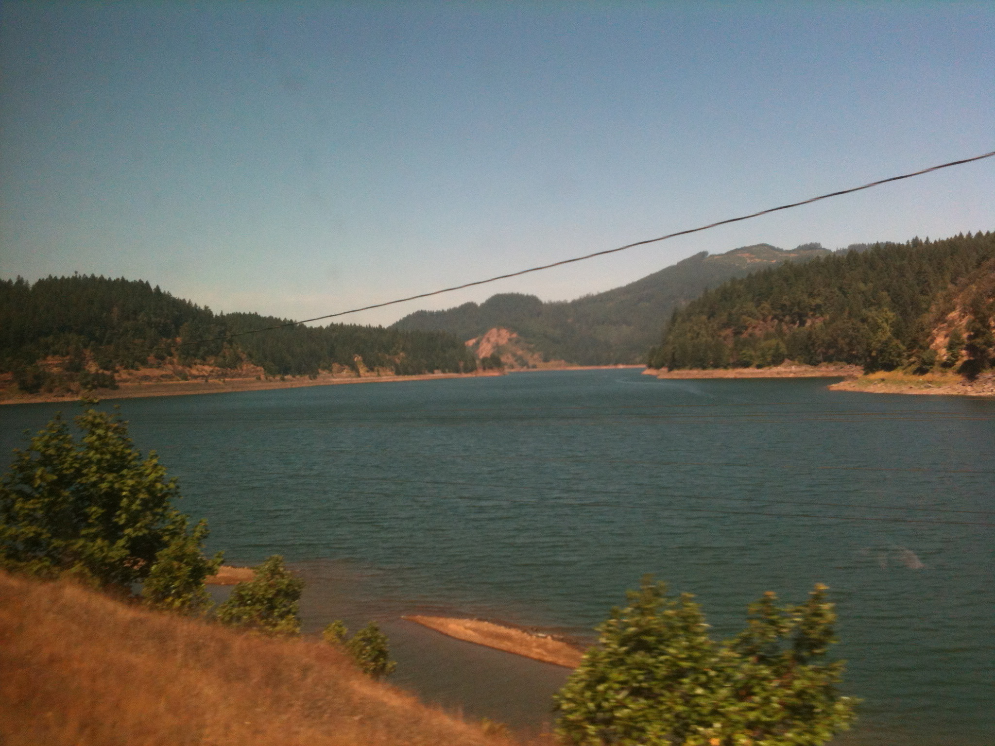
A reservoir just east of (and a bit up from) Eugene
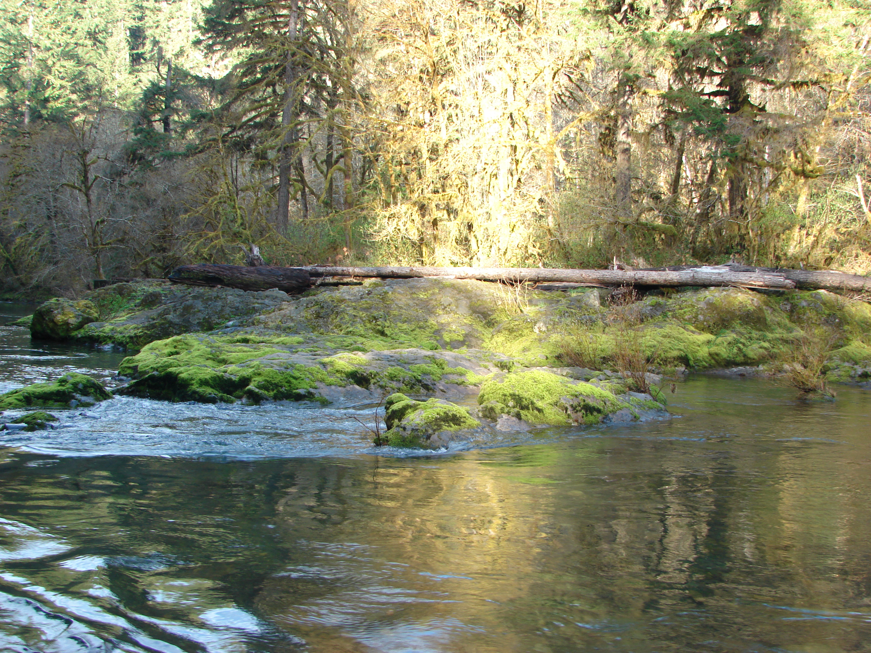
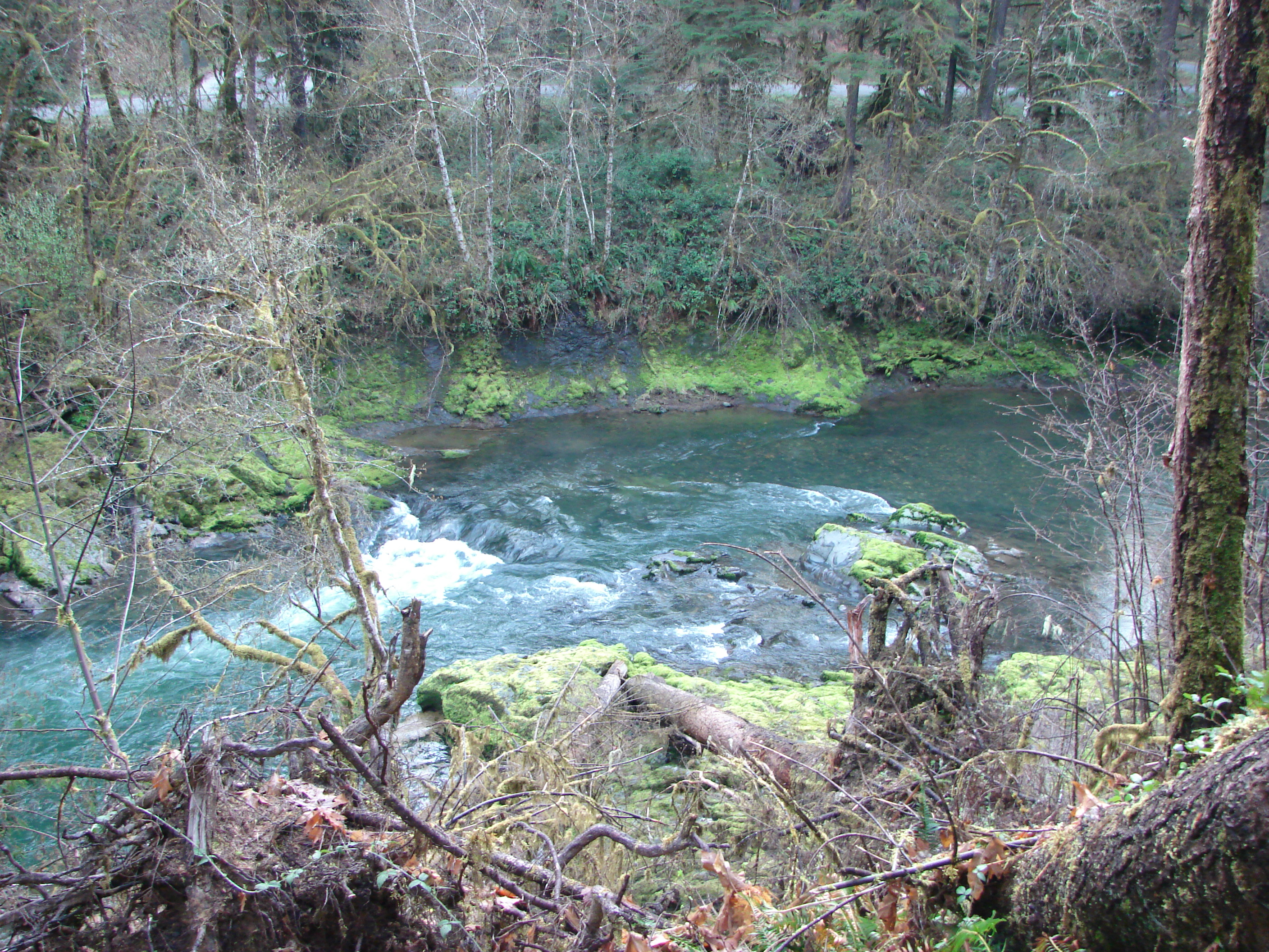
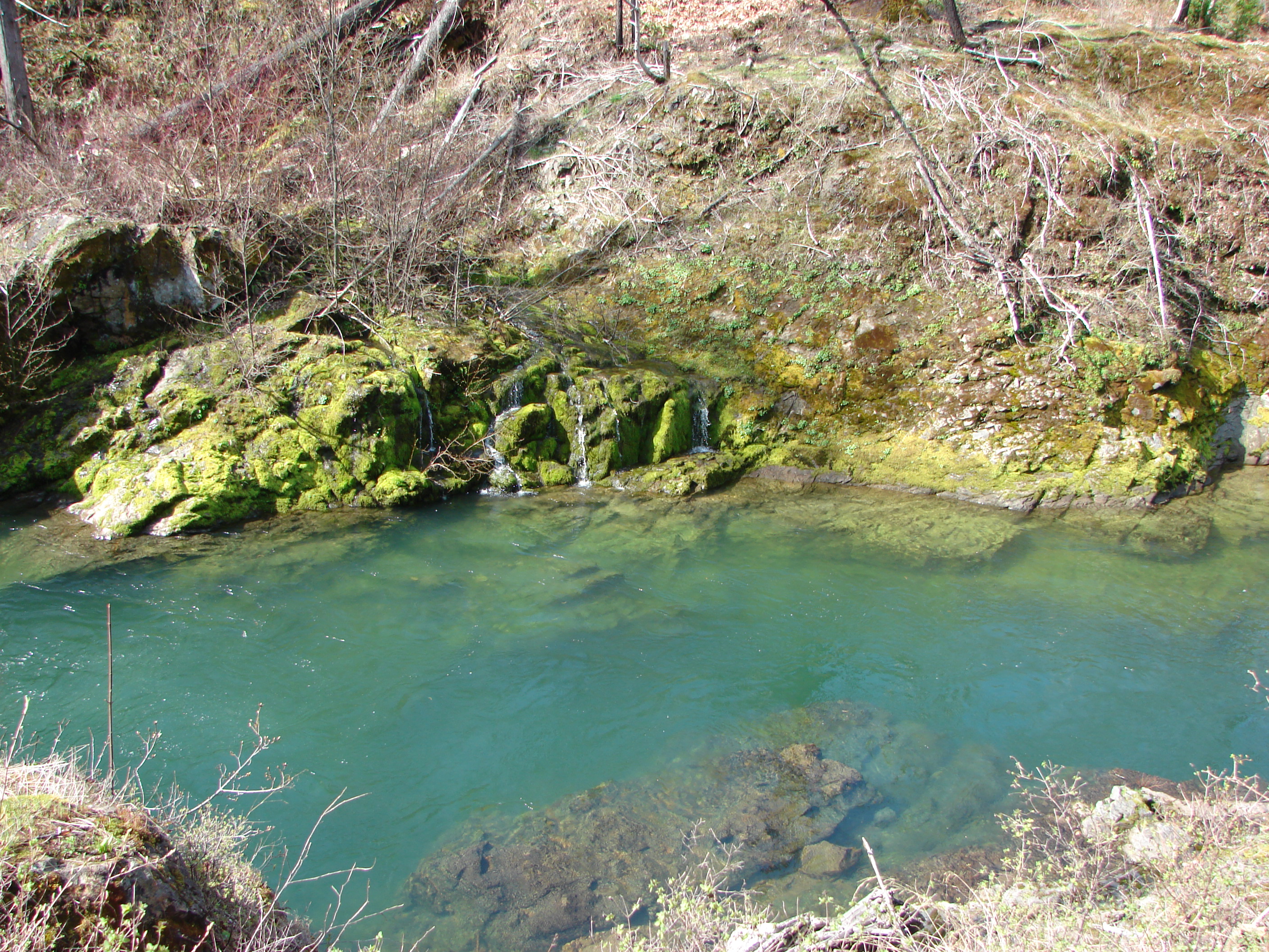
Fall Creek
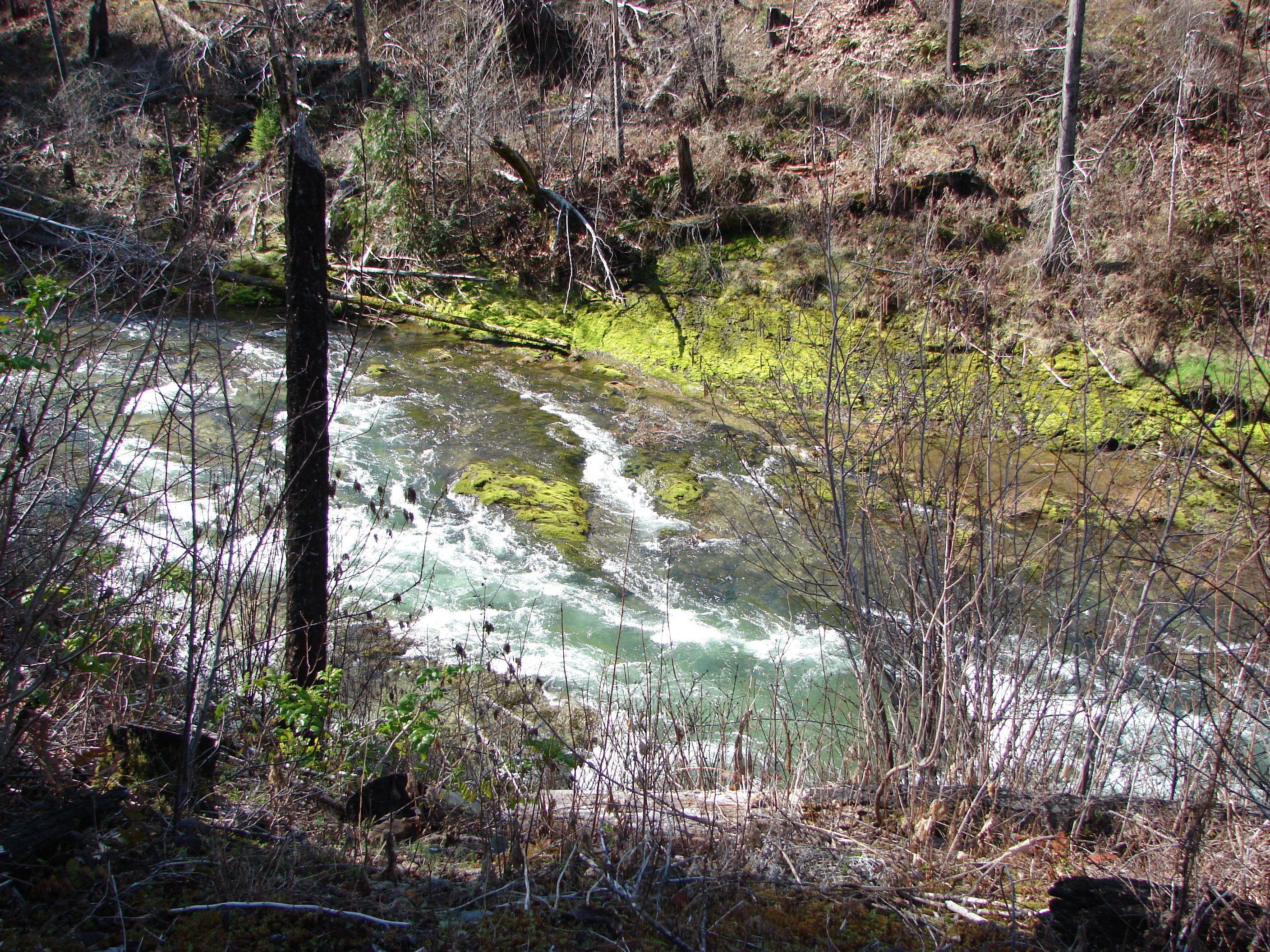
Fall Creek

Day 20 Photo 171
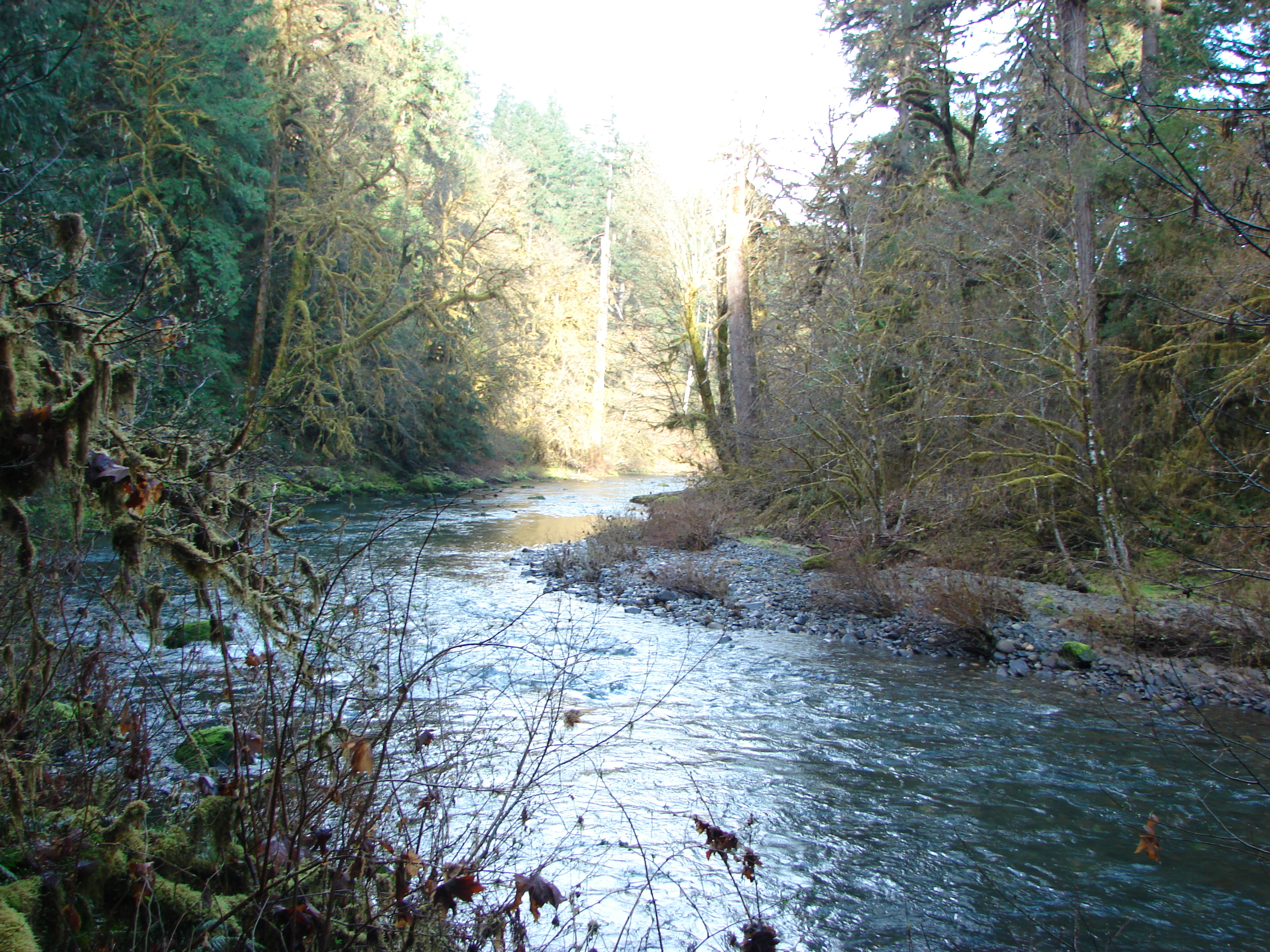
Fall Creek

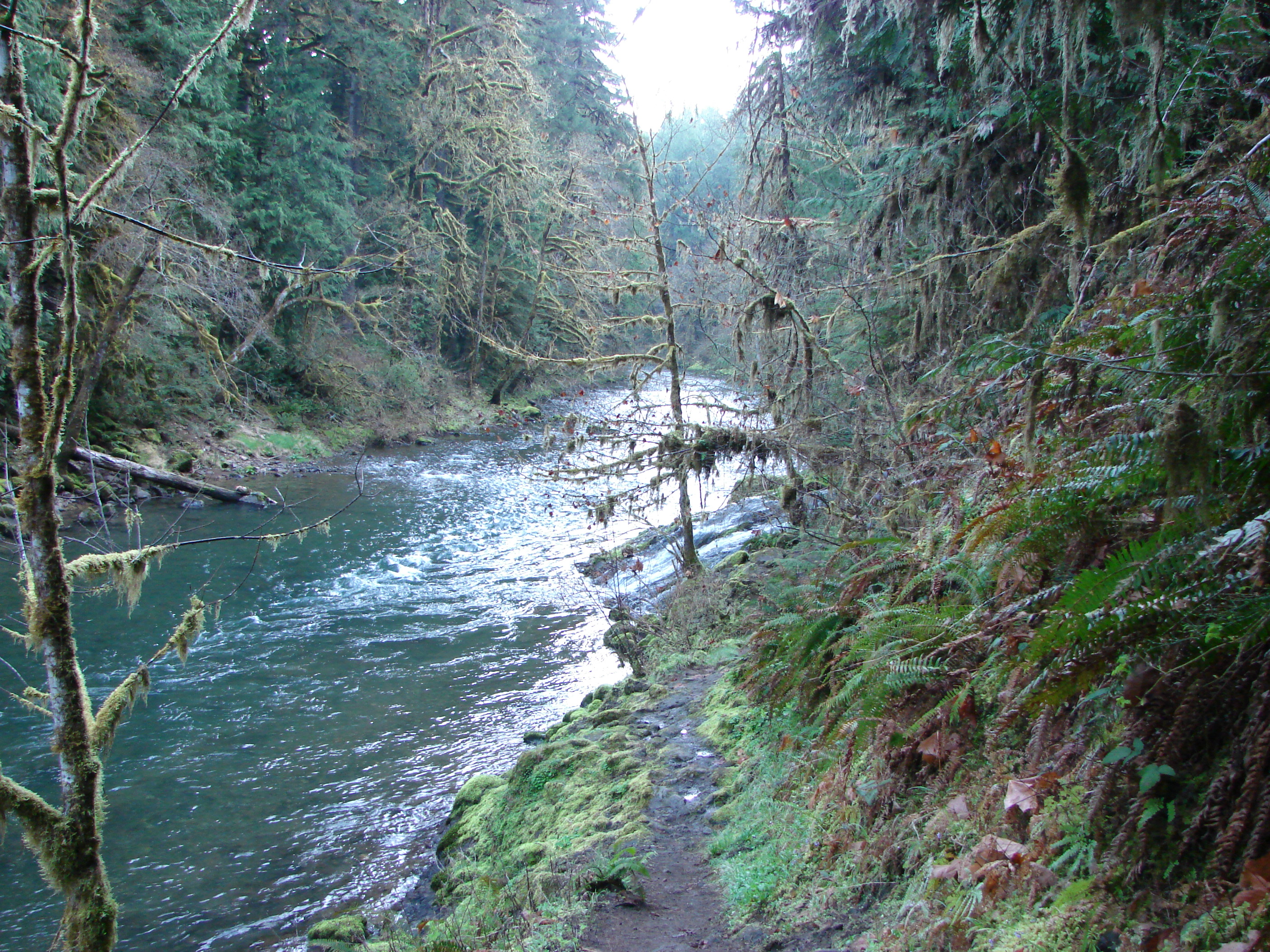
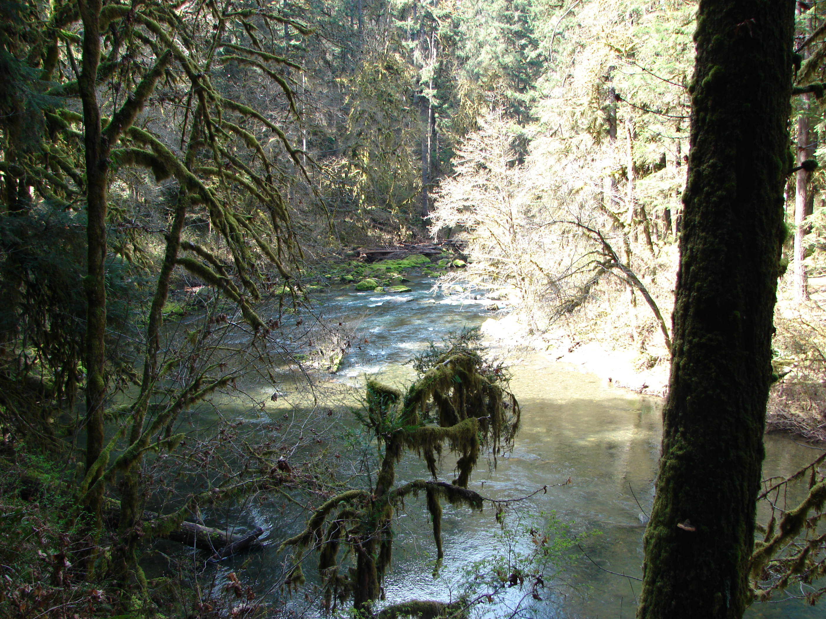
Fall Creek Trail
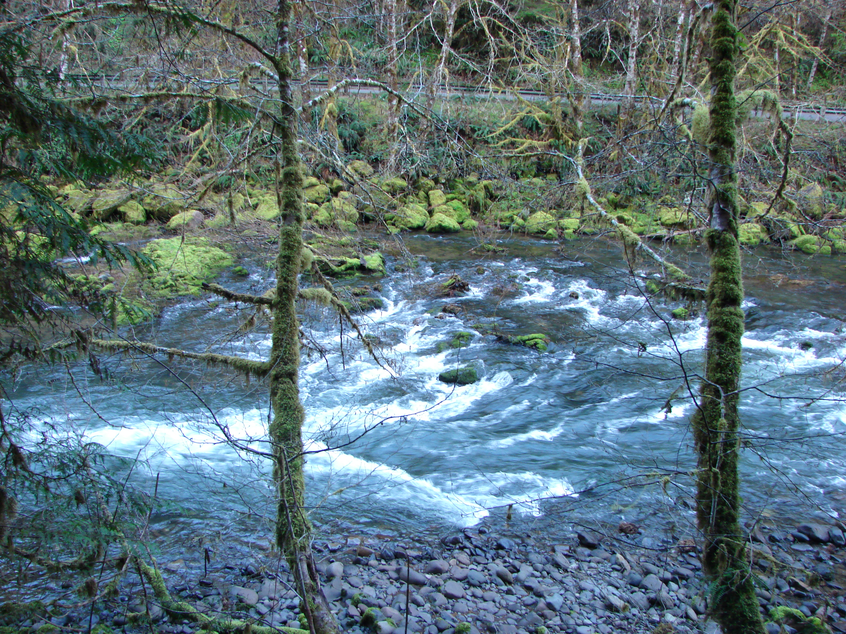
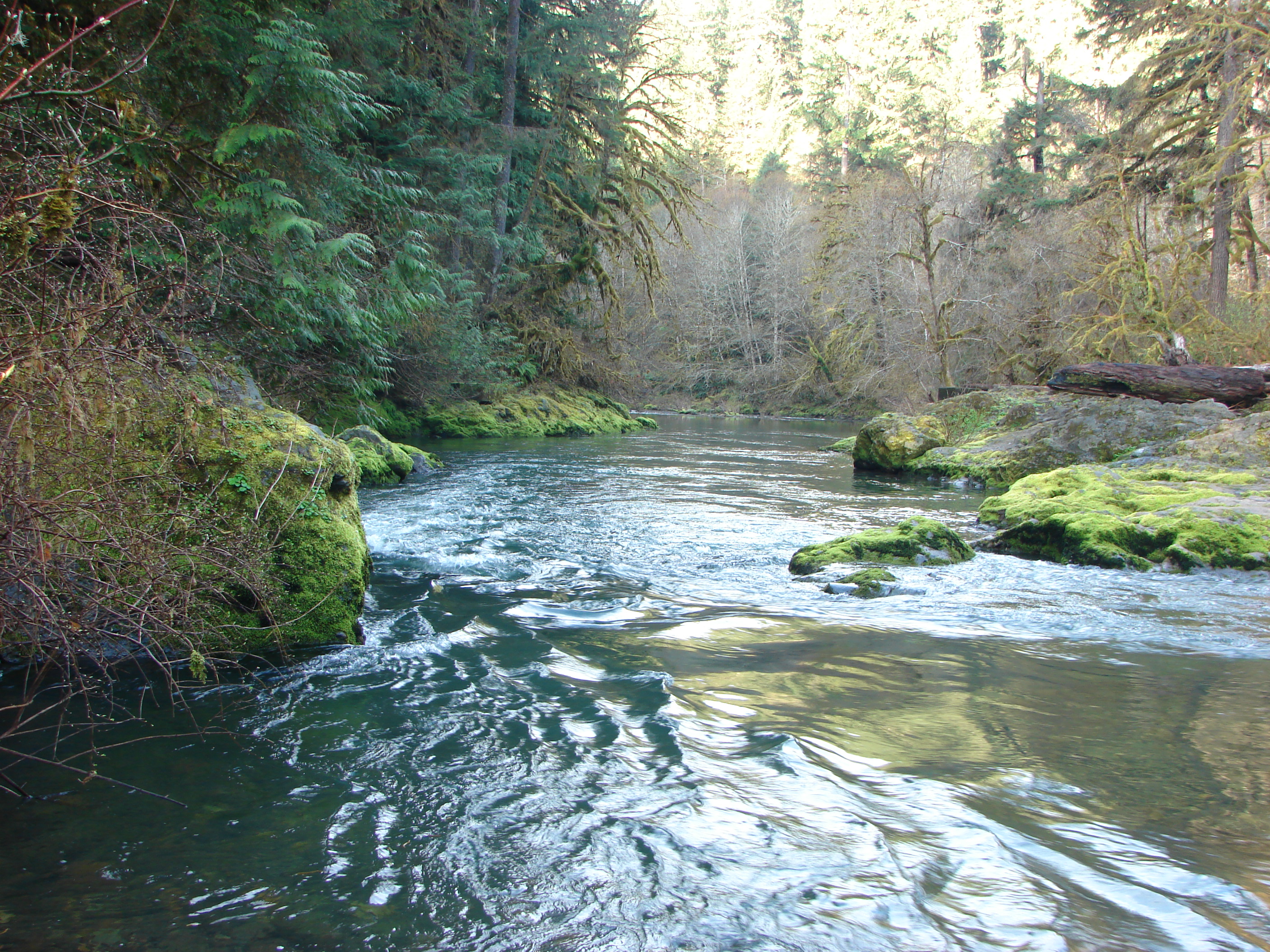
Fall Creek
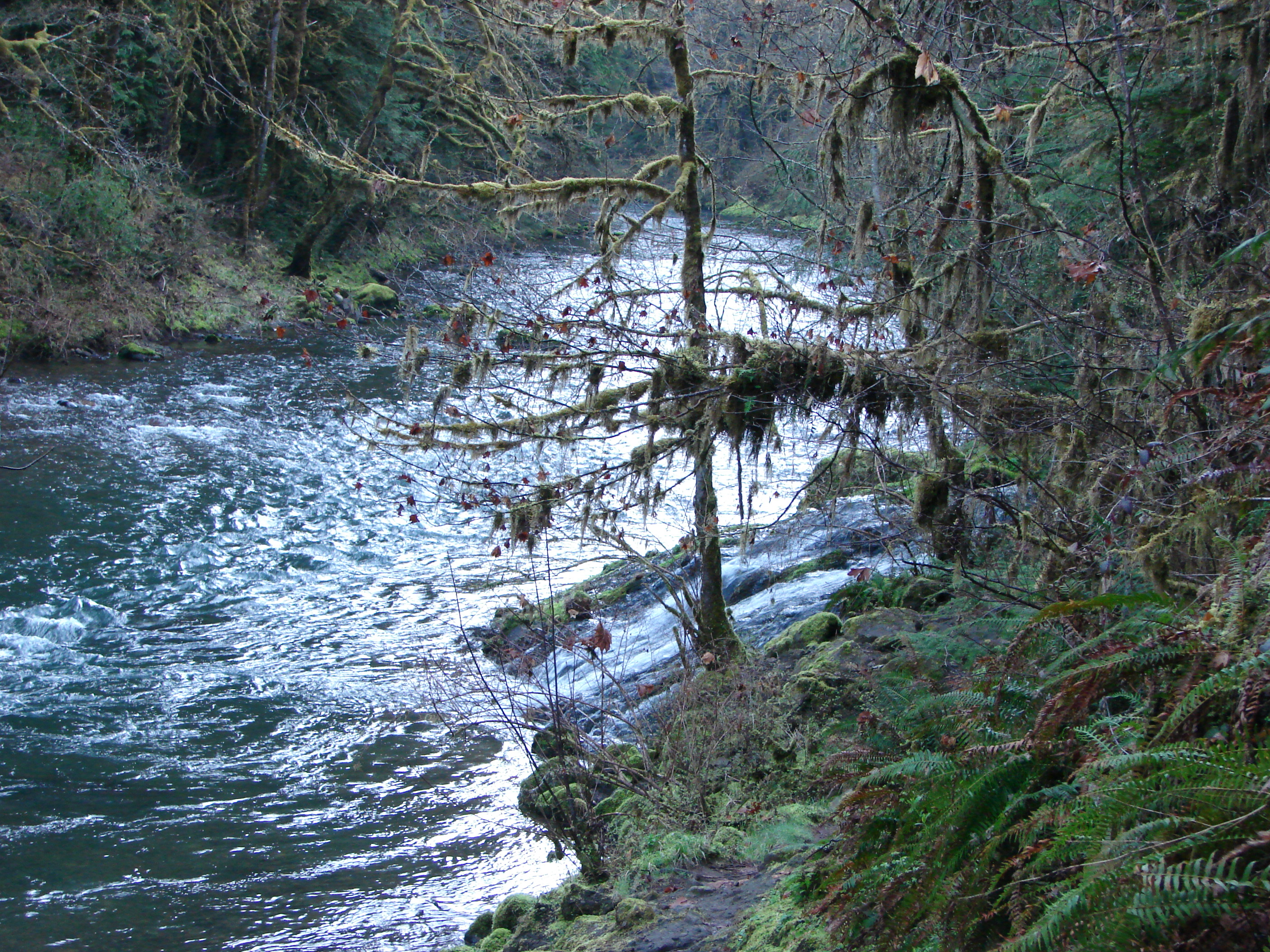
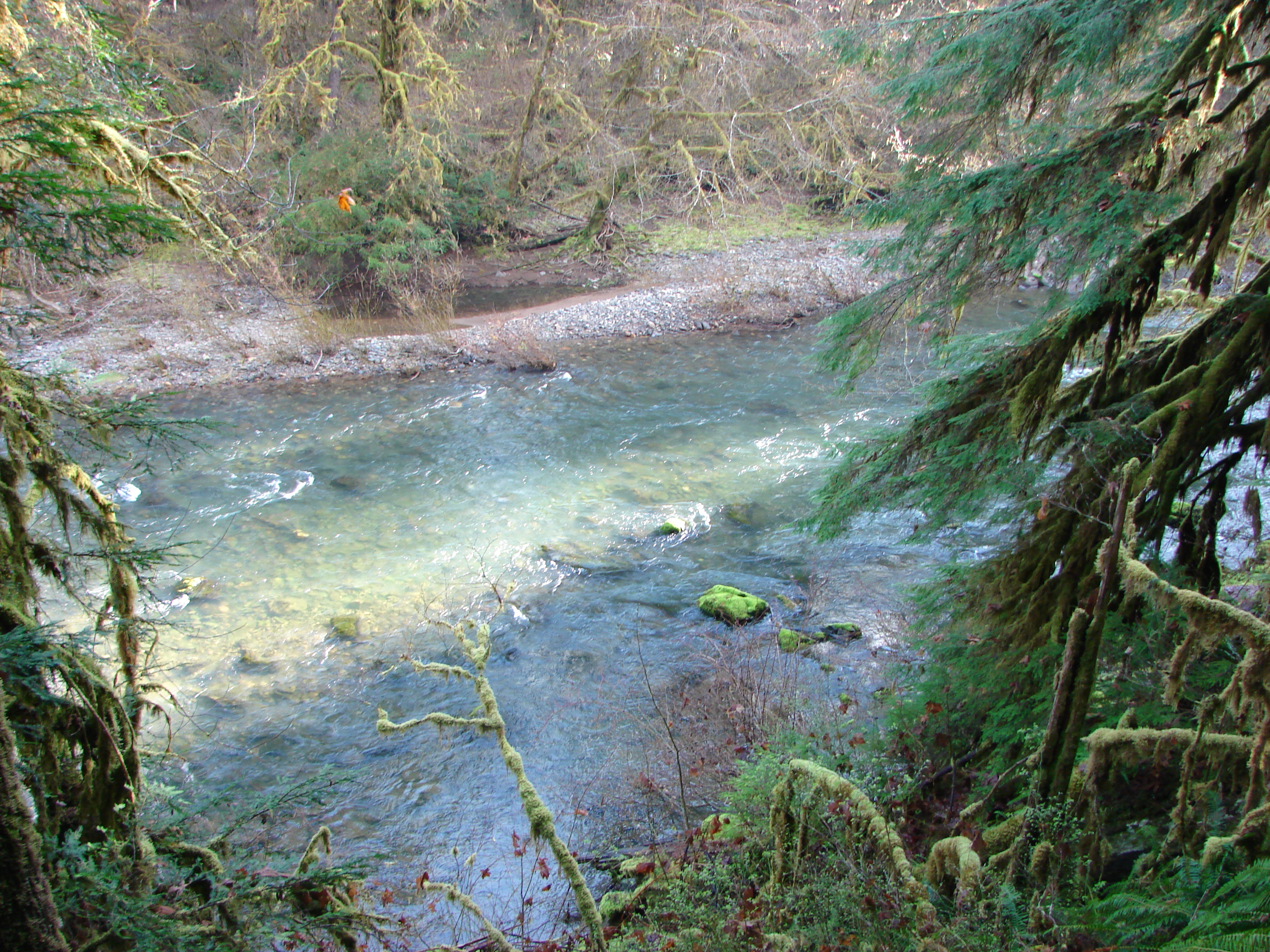
Fall Creek

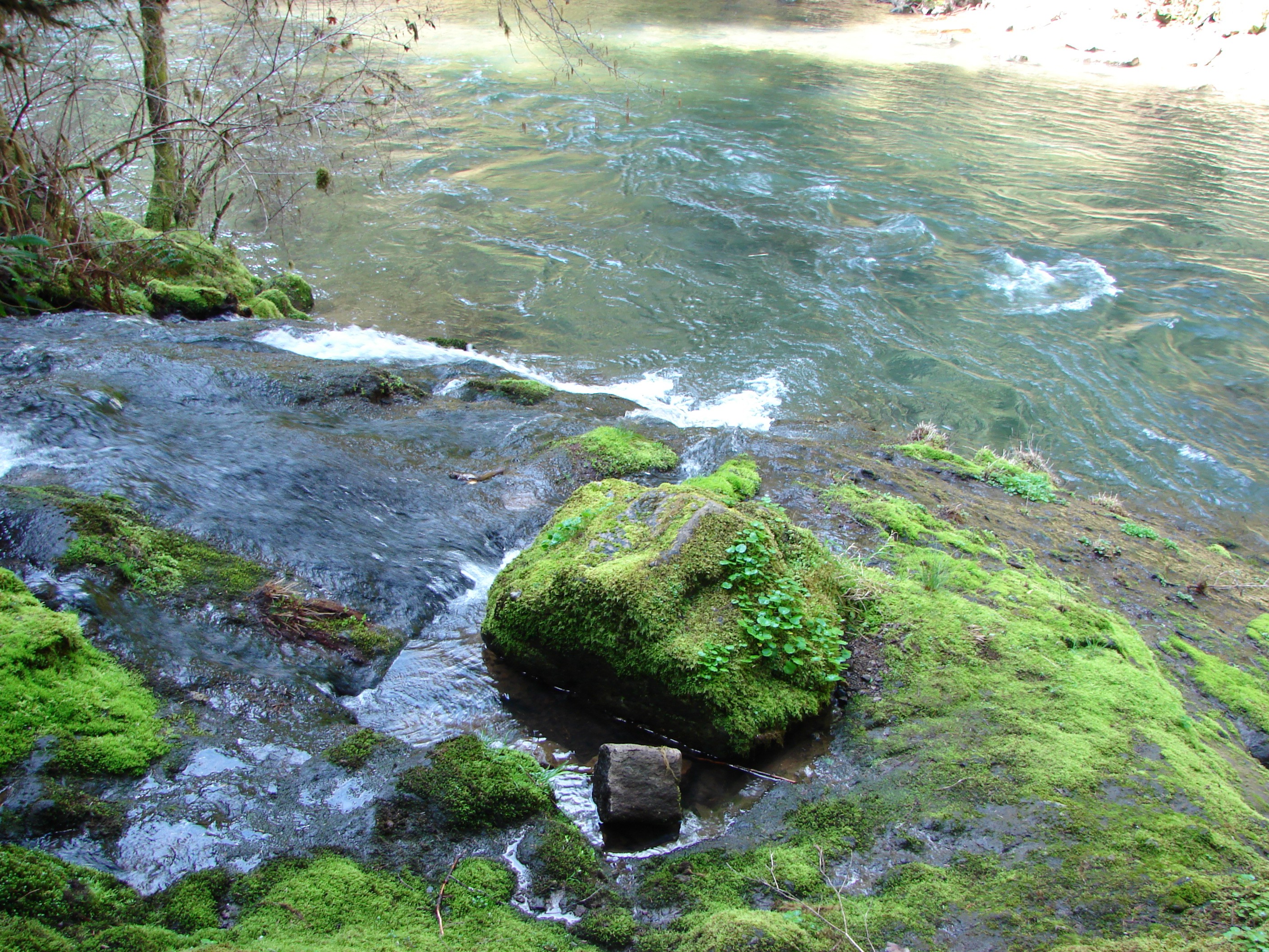
Fall Creek
Fall Creek
Fall Creek
Fall Creek

Fall Creek

[193/365] #eugene #oregon #dexter
Fall Creek
Fall Creek
Fall Creek
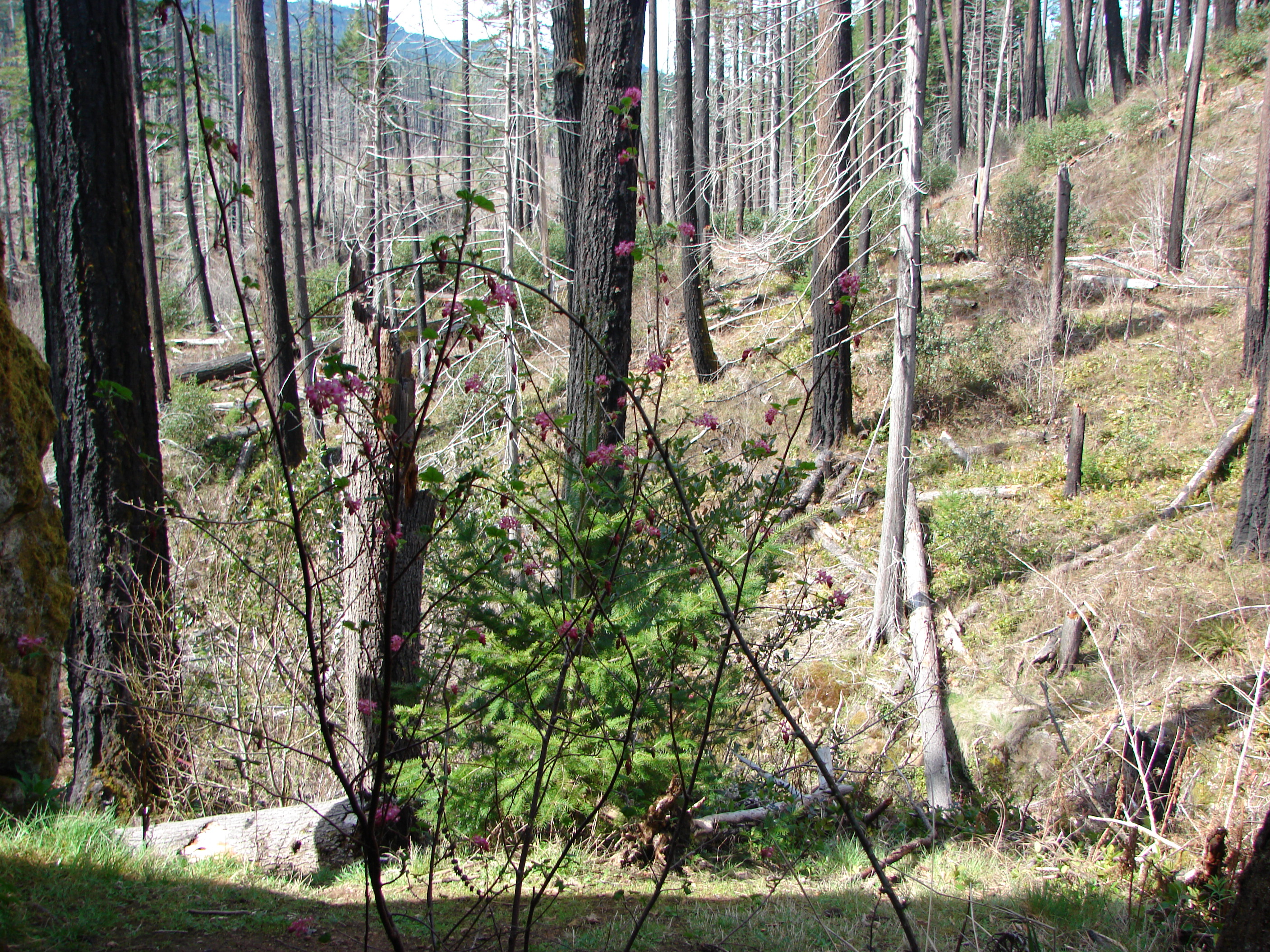
Red-flowering currant
Fall Creek
Topographic Map of Fall Creek Trailhead #1, Big Fall Creek Rd, Fall Creek, OR, USA
Find elevation by address:

Places near Fall Creek Trailhead #1, Big Fall Creek Rd, Fall Creek, OR, USA:
Lane County
90087 Greenwood Dr
Leaburg
Lowell
Deerhorn
40668 Mckenzie Hwy
45896 Mckenzie Hwy
Vida
McKenzie Hwy, Vida, OR, USA
Fall Creek
Dexter
81997 Lost Creek Rd
Page Ln, Springfield, OR, USA
39286 Old Giustina Mill Rd
Cedar Flat
Cedar Flat
Westfir
49514 Mckenzie Hwy
39400 Upper Camp Creek Rd
47386 Or-58
Recent Searches:
- Elevation of Corso Fratelli Cairoli, 35, Macerata MC, Italy
- Elevation of Tallevast Rd, Sarasota, FL, USA
- Elevation of 4th St E, Sonoma, CA, USA
- Elevation of Black Hollow Rd, Pennsdale, PA, USA
- Elevation of Oakland Ave, Williamsport, PA, USA
- Elevation of Pedrógão Grande, Portugal
- Elevation of Klee Dr, Martinsburg, WV, USA
- Elevation of Via Roma, Pieranica CR, Italy
- Elevation of Tavkvetili Mountain, Georgia
- Elevation of Hartfords Bluff Cir, Mt Pleasant, SC, USA