Elevation of Page Ln, Springfield, OR, USA
Location: United States > Oregon > Lane County > Springfield >
Longitude: -122.80363
Latitude: 44.068374
Elevation: 184m / 604feet
Barometric Pressure: 99KPa
Elevation Map:
Satellite Map:
Related Photos:
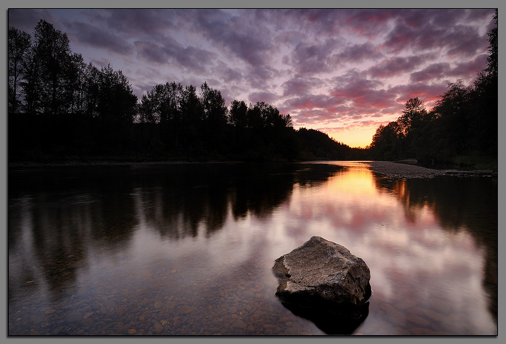
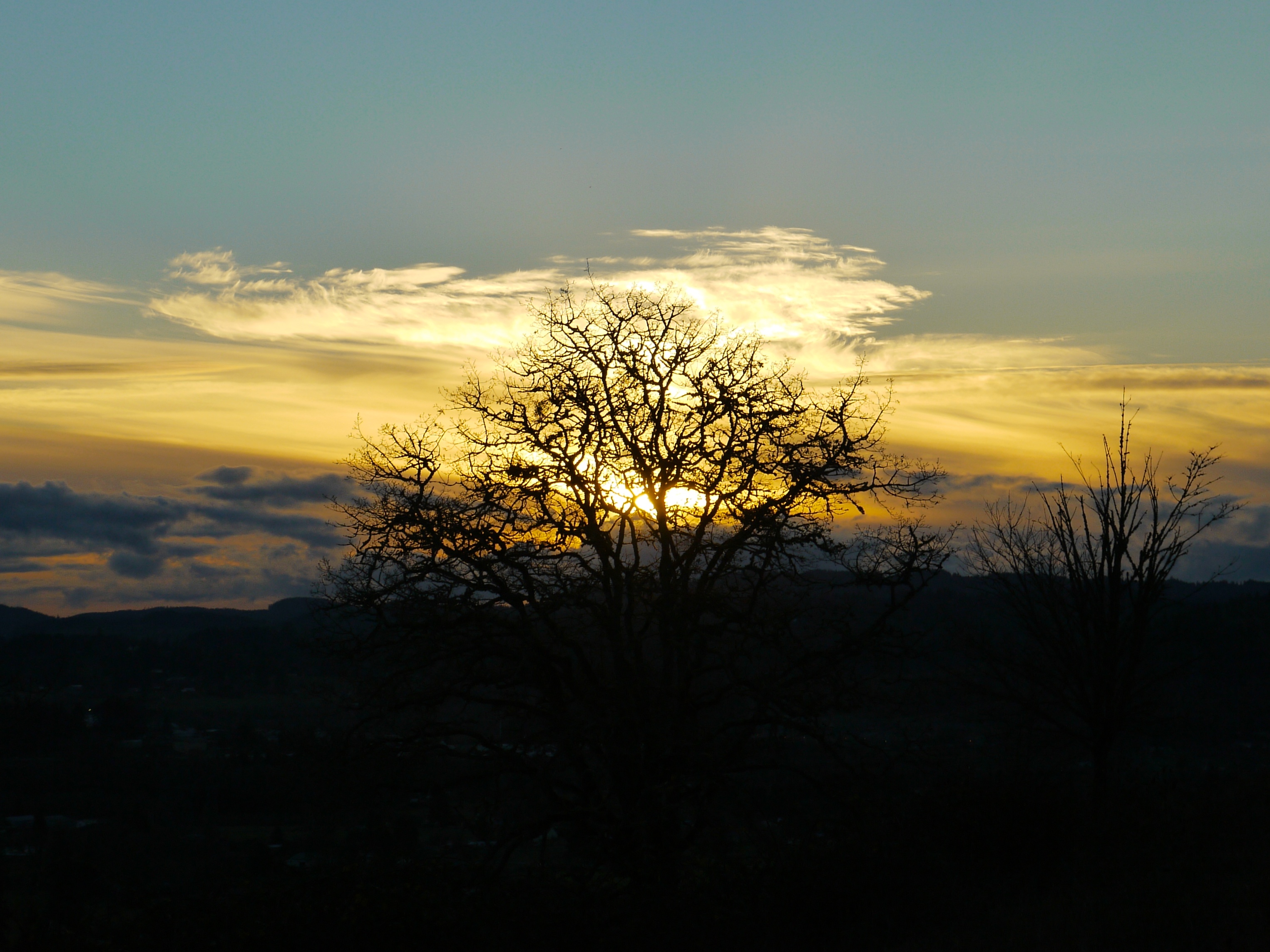
Clearwater Sunset....

Needles and Pins

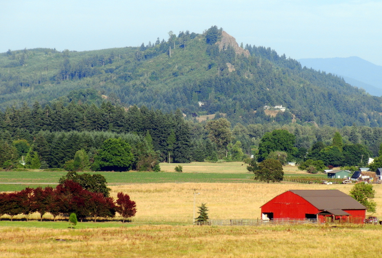
BARN ON THE HILL
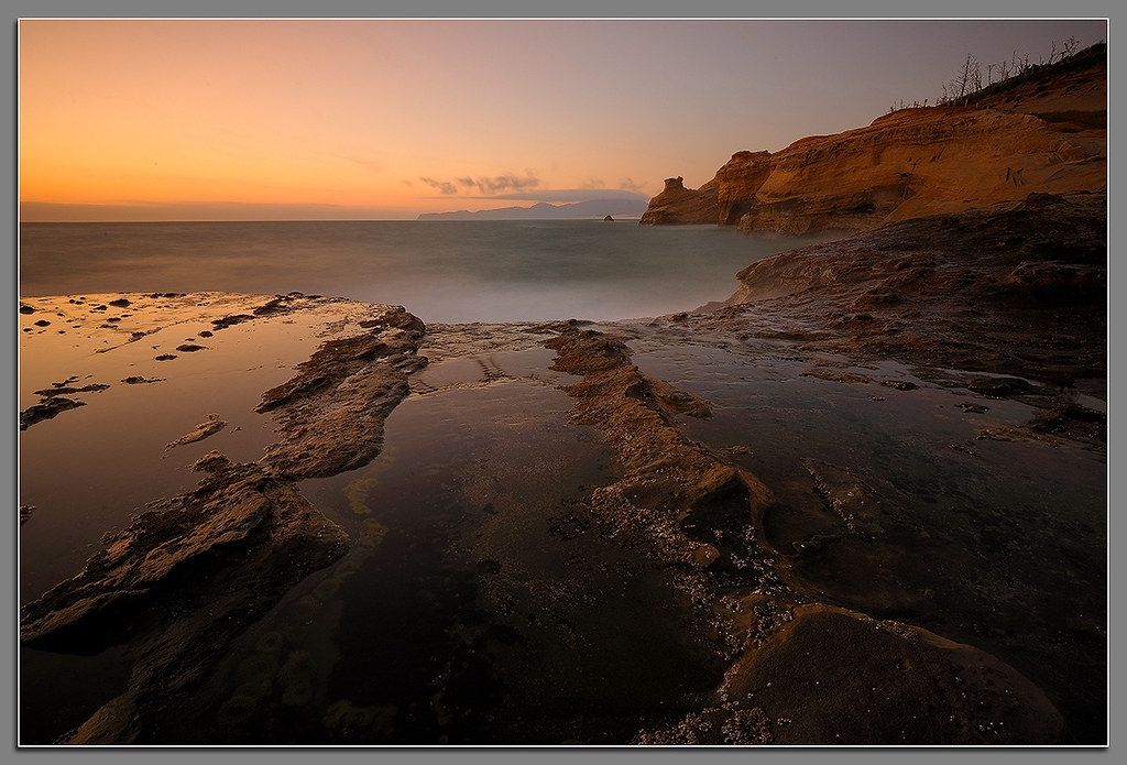
Kiwanda Sundown

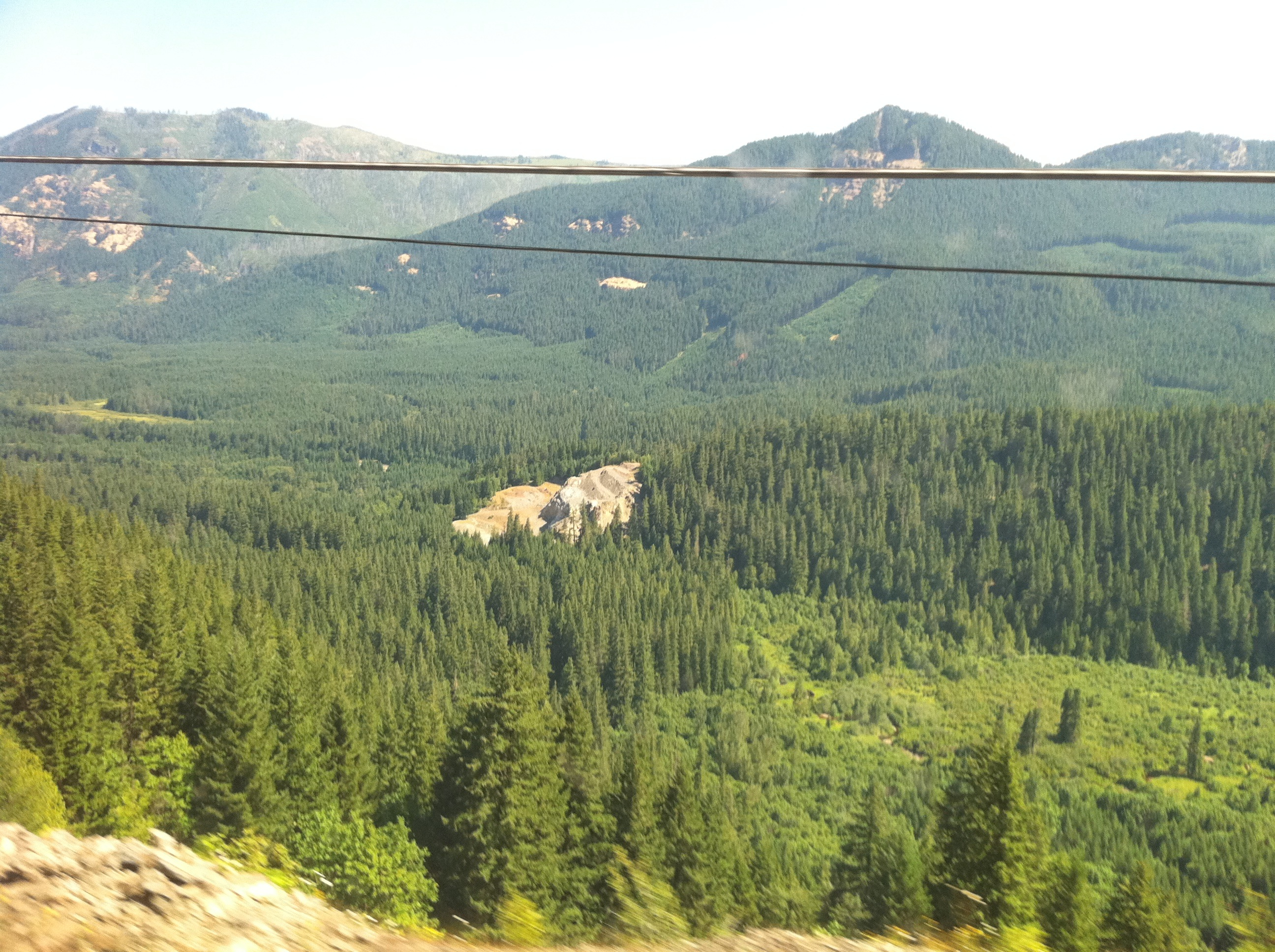
Train Break
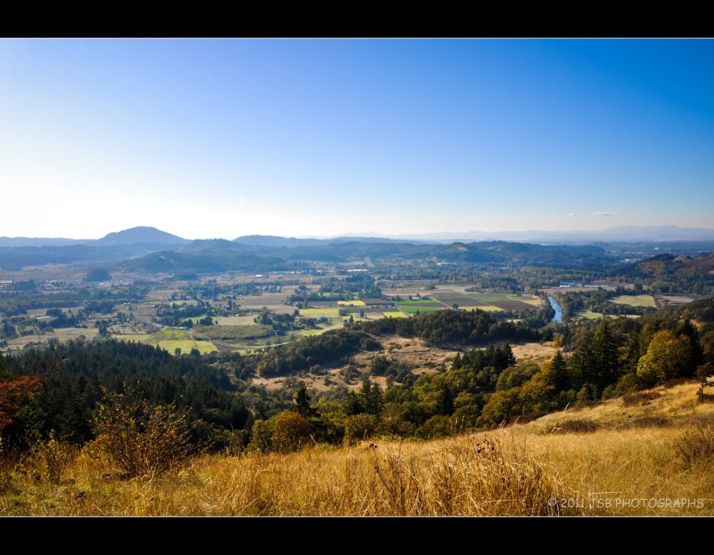
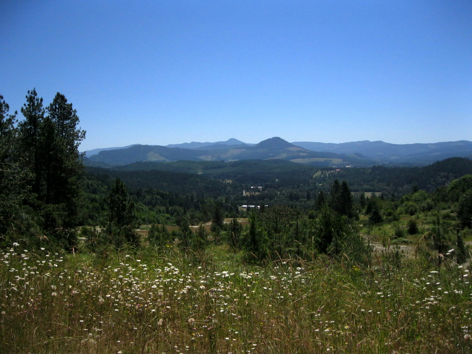
View from Mt Pisgah
a2001-14-23

54 foggy miles on mckenzie view with the team this morning [18/365] #eugene #oregon #cycling #felt #greatnorthcollective #fog

Faerie Worlds 2012, Eugene, Oregon

A Looking in View

Home: front view
Red Barn

View over the fence
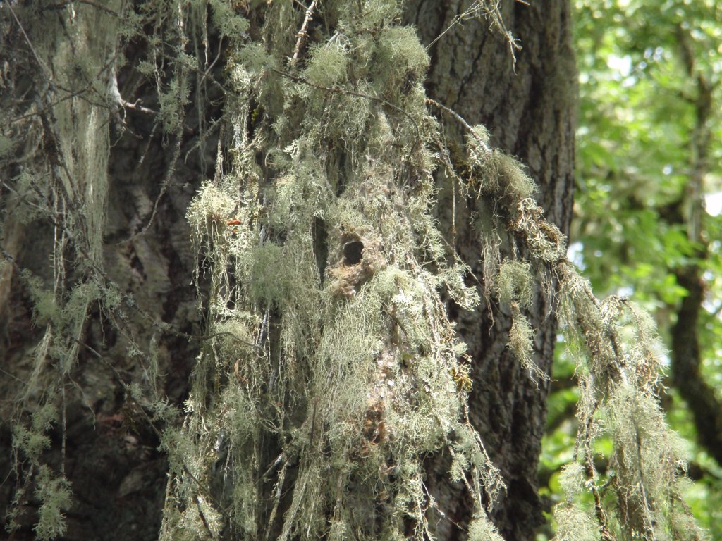
Closer view of Bushtit nest

Baby Blue Eyes

The view from my window this morning...

Taking in the views
Pretty Much Why I Stayed in Oregon
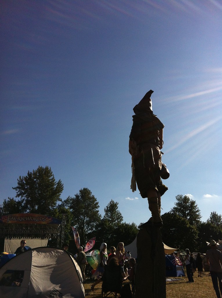
Faerie Worlds 2012, Eugene, Oregon

Cat's Ear Lily
Nice view

100/81: Into the light

Day 144: Sun-kissed spikelets

Runnin' Down a Dream

Paint it Black
Long Weekend

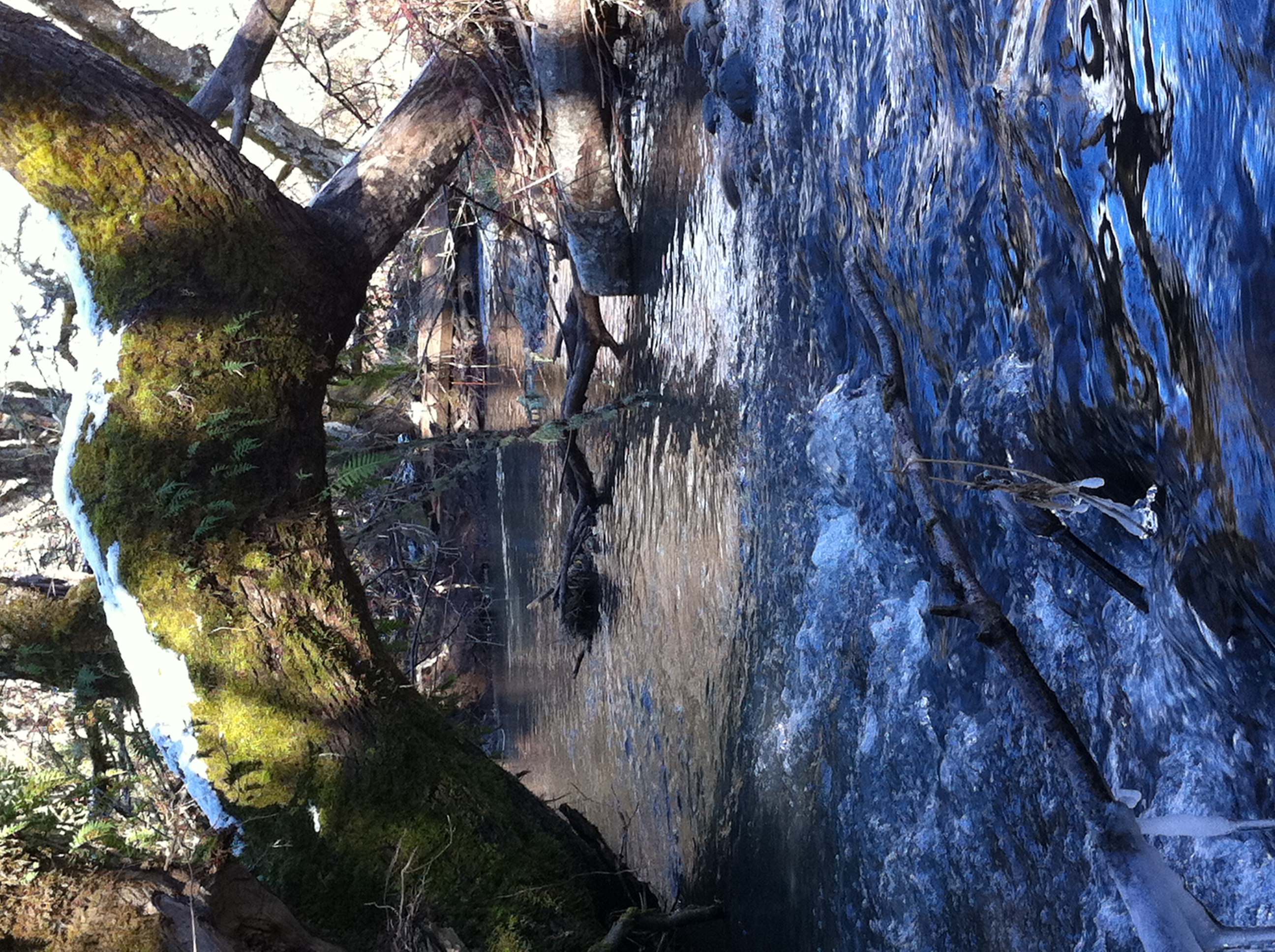
High Water

Day 173: June glory in Mohawk Valley

Day 172: Daisies and clouds
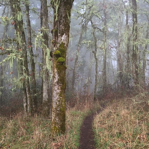
Into the mystic. Fog in the forest on Mount Pisgah.
Truly a picture perfect day!

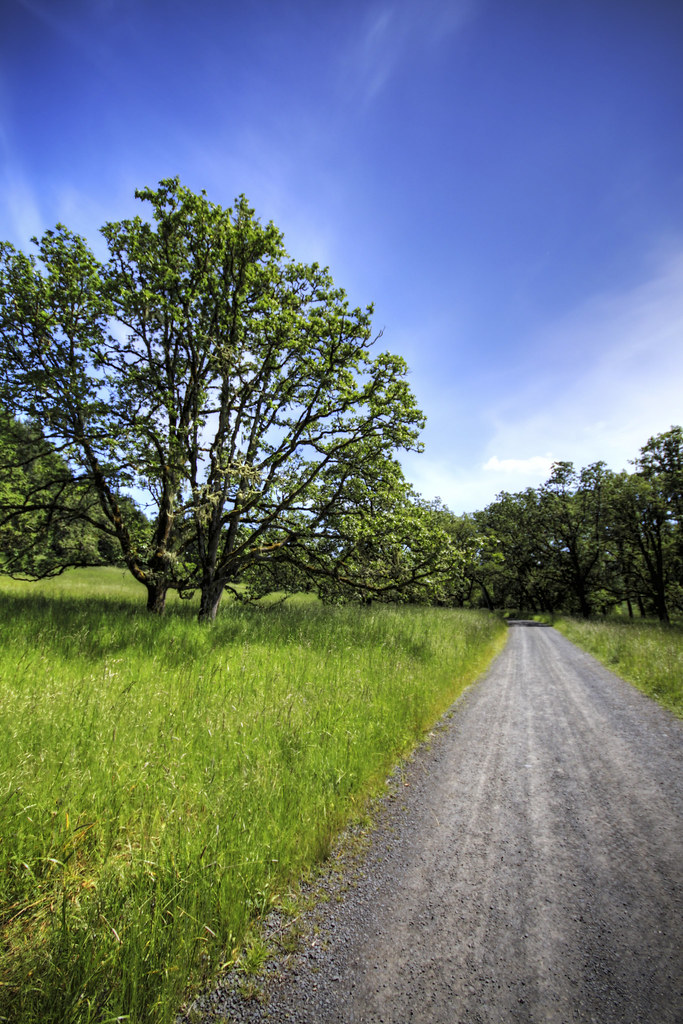
100/83: Forest road

Daisies and clouds II
Mt Pisgah Sunset 2

Waterfall along Goodman Creek Trail~Subtly Beautiful ????

Mt Pisgah Sunset

Evening Sun on the McKenzie River

Day 184: Fields of gold
Elijah Bristow

Facing west from Mt Pisgah at sunset.
Topographic Map of Page Ln, Springfield, OR, USA
Find elevation by address:

Places near Page Ln, Springfield, OR, USA:
Cedar Flat
Cedar Flat
40668 Mckenzie Hwy
38808 Upper Camp Creek Rd
38598 Upper Camp Creek Rd
39110 Upper Camp Creek Rd
39400 Upper Camp Creek Rd
38386 Upper Camp Creek Rd
38134 Mckenzie Hwy
Deerhorn
37956 Upper Camp Creek Rd
37848 Shenandoah Loop
37535 Upper Camp Creek Rd
7303 Forsythia St
321 S 71st St
895 S 71st St
372 69th Pl
894 S 71st St
910 S 71st St
69th Street
Recent Searches:
- Elevation of Corso Fratelli Cairoli, 35, Macerata MC, Italy
- Elevation of Tallevast Rd, Sarasota, FL, USA
- Elevation of 4th St E, Sonoma, CA, USA
- Elevation of Black Hollow Rd, Pennsdale, PA, USA
- Elevation of Oakland Ave, Williamsport, PA, USA
- Elevation of Pedrógão Grande, Portugal
- Elevation of Klee Dr, Martinsburg, WV, USA
- Elevation of Via Roma, Pieranica CR, Italy
- Elevation of Tavkvetili Mountain, Georgia
- Elevation of Hartfords Bluff Cir, Mt Pleasant, SC, USA