Elevation of Upper Camp Creek Rd, Springfield, OR, USA

Location: United States > Oregon > Lane County > Springfield >

Longitude: -122.83832

Latitude: 44.103448

Elevation: 183m / 600feet

Barometric Pressure: 99KPa

Elevation Map:

elevation map of Upper Camp Creek Rd, Springfield, OR, USA
Satellite Map:

Satellite map of Upper Camp Creek Rd, Springfield, OR, USA
Related Photos:

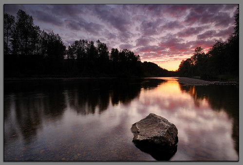
oregon sage springfield willametteriver middlefork andrewkumler
Clearwater Sunset....
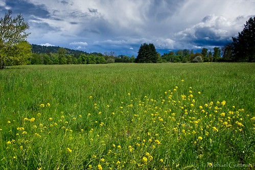
green field grass flowers weeds trees sky clouds sunshine springfield oregon spring fujifilm xt2
Field of Dreams
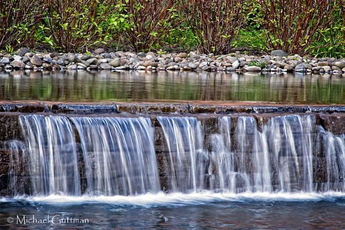
waterfall pool pond water riverbendhospital springfield oregon shrubs rocks
Hospital Pool & Waterfall
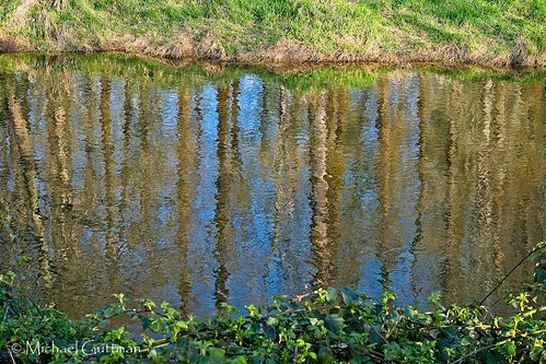
reflections reflection river mckenzieriver springfield oregon spring water trees sky fujifilm xt2 riverbank riverbend
Reflecting On Spring
bridge oregon jasper coveredbridge 372015 pengrabridge jasperor pengracoveredbridge worldguidenumber372015
a2001-14-23
oregon coast nikon andrew capekiwanda kumler d3x 1635mmvrf4
Kiwanda Sundown
macro eye canon view sunday worms 50d
Needles and Pins
sunburst sunbeams forest trees shadows longshadows grass greengrass green riverbendhospital mckenzieriver
A Light in the Forest
from wings mt view you photos or fairy everyone steampunk festivalx dancex fantasyx hipstamatic costumex creativex oregonx eugenex worldsx faeriex pisgahx
Faerie Worlds 2012, Eugene, Oregon
A Looking in View
square squareformat iphoneography instagramapp uploaded:by=instagram
Jun 10th - Partial - partial view of Lower Proxy Falls #fmsphotoaday #oregonexplored
portrait male oregon train nicole model jasper break dancing tracks lovejoy springfeild mygearandme
Train Break
sunset oregon canon cross sigma hills eugene marcola t2i
Cross View
blue baby 6 color cute nicole eyes sad months selective savanna lovejoy
Sad Baby
house home front
Home: front view
boy selfportrait male guy atarmslength hair eyes flash sb600 fake headshot plastic waxy springfield strobe week7 52weeks sb28 strobist crosslighting bareflash eugenestrobist epiceditsselection eugenestrobist0908
Wax Statue (Week Seven of Fifty-Two)
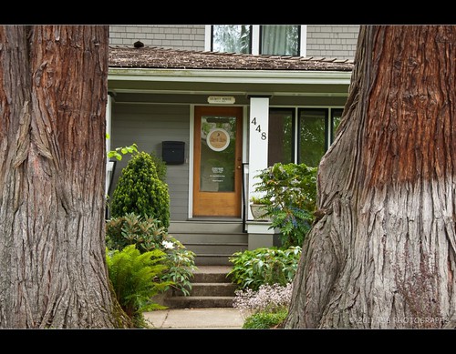
trees house oregon yard nikon d2x springfield nikkor 448 seavey 18105mm brucebergphotography
448 Seavey House
rides hdr
View from the Farm
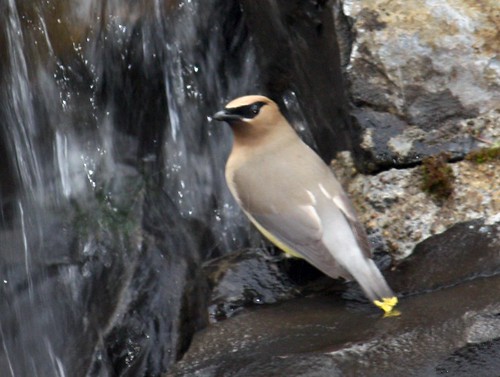
nature birds oregon waterfall backyard waxwing cedarspringfield
Cedar Wax-Wing
from stone circle mt view you photos or fairy sword perch warrior hood balance everyone festivalx dancex fantasyx costumex creativex oregonx eugenex worldsx faeriex pisgahx
Faerie Worlds 2012, Eugene, Oregon
nikon festivals 2012 faerieworlds d7000
View over the fence
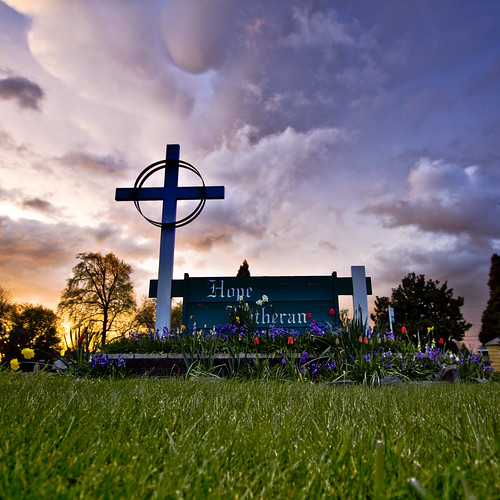
flowers sunset church grass clouds oregon canon cross springfield 50d
The Calm Before the Storm
fog oregon forest marcola
100/83: Forest road
summer field oregon fence daisy
Daisies and clouds II
summer field grass oregon landscape day184 day184365 3652013 365the2013edition 03jul13
Day 184: Fields of gold
sunset silhouette night clouds oregon cloudy day180 day180365 3652013 365the2013edition 29jun13
Day 180: Hot summer days have arrived in Oregon!
trees clouds minimalist day28 day28365 3652013 365the2013edition 28jan13
Day 28: January sky
up unionpacific centerbeam lumber worktrain lanecounty fallcreekjunction
Shadows and light at Fall Creek Junction
Sunrise on my way to work
Runnin' Down a Dream
bw oregon canon arboretum mount springfield pisgah 50d
Paint it Black
More Shotgun Creek
Mt Pisgah Sunset
Willamette Valley
Hiking Mount Pisgah
hdr contradance midsummermadness 2011
Evening Sun on the McKenzie River
sunset field nikon d300 willamettevalley 1224mmf4 oregongrass
Willamette Valley grass field
square squareformat lark iphoneography instagramapp uploaded:by=instagram
I'm really high right now - with @glass_connor
Willamette Valley