Elevation of Greenwood Dr, Walterville, OR, USA
Location: United States > Oregon > Lane County >
Longitude: -122.634572
Latitude: 44.117739
Elevation: 221m / 725feet
Barometric Pressure: 0KPa
Related Photos:

Jun 10th - Partial - partial view of Lower Proxy Falls #fmsphotoaday #oregonexplored

Trout going with the flow.
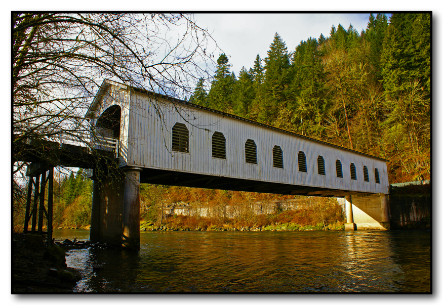
Oregon Covered Bridge

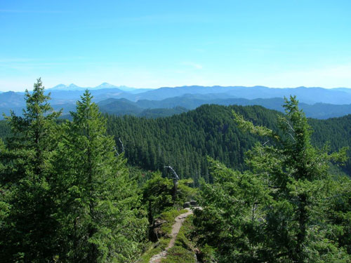
View from Little Cownhorn Lookout

View from Little Cownhorn Lookout
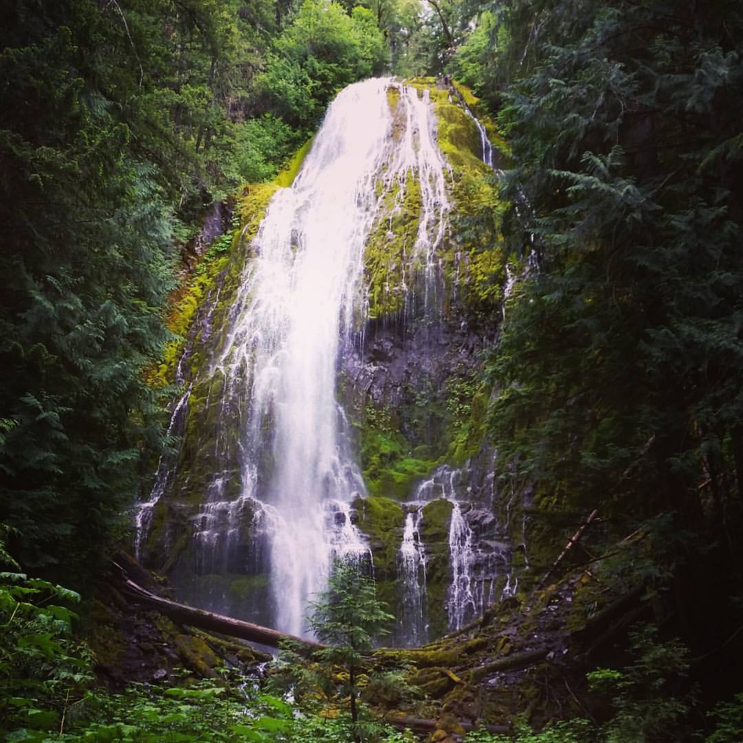
Lower Proxy Falls #oregonexplored #pnw #pnwonderland
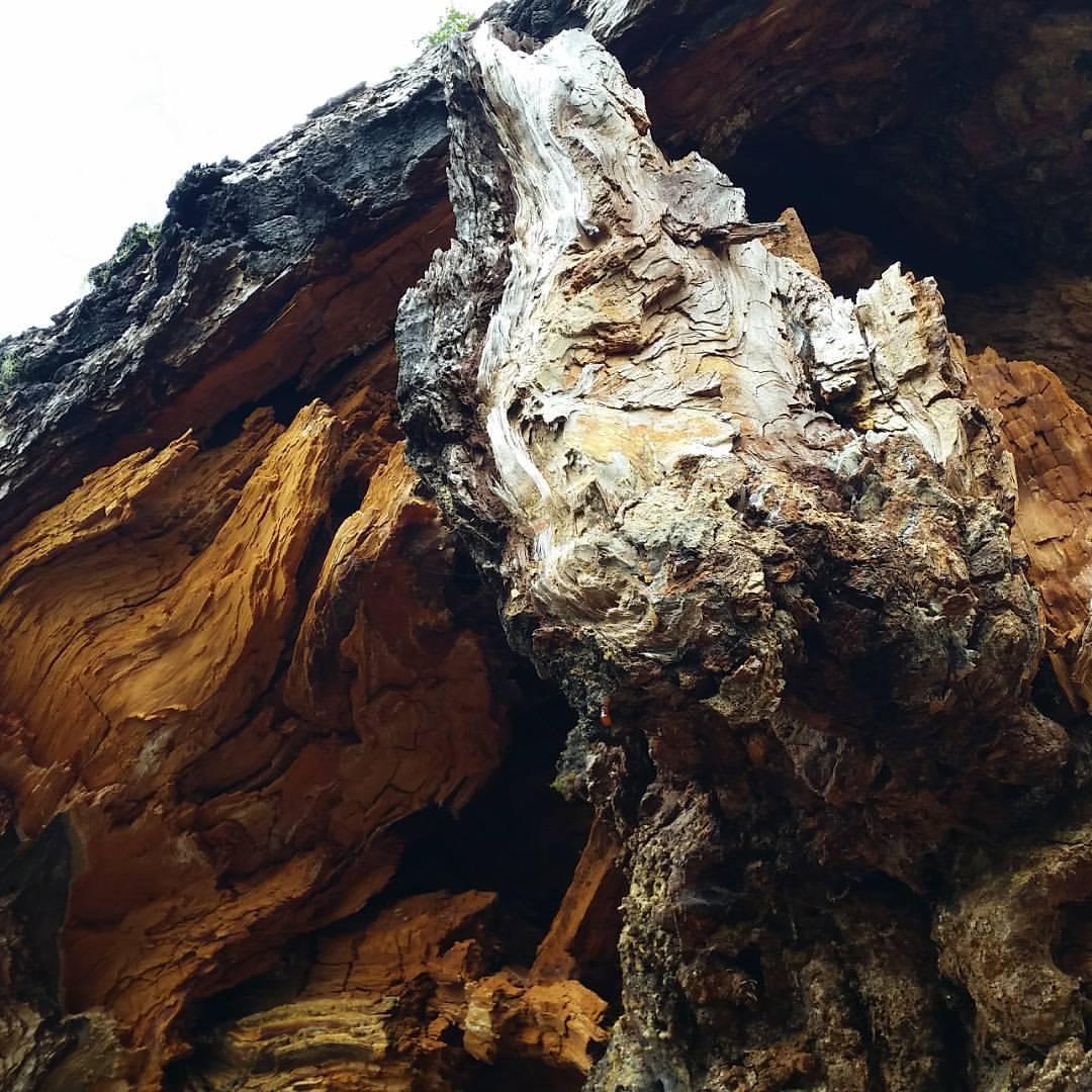
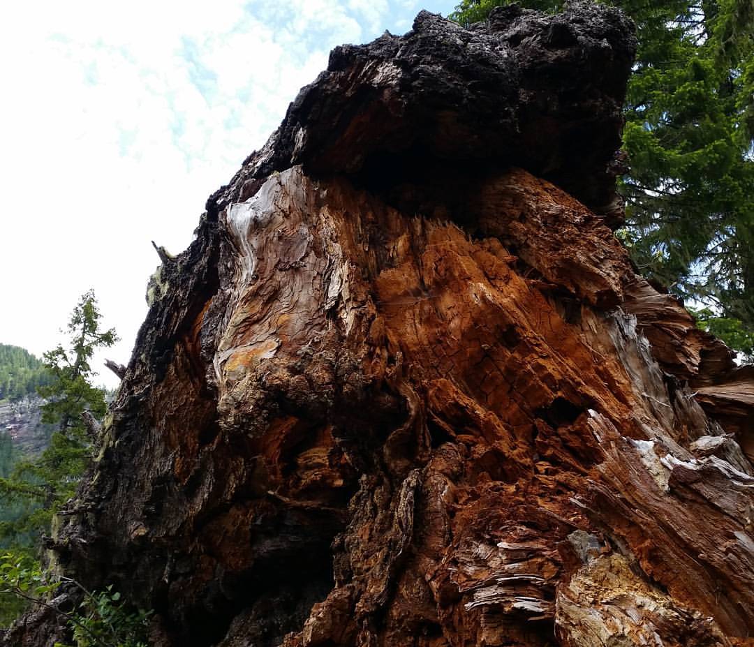
I see a demon face in the lighter wood. Is that just me? :-P #oregonexplored #pnw

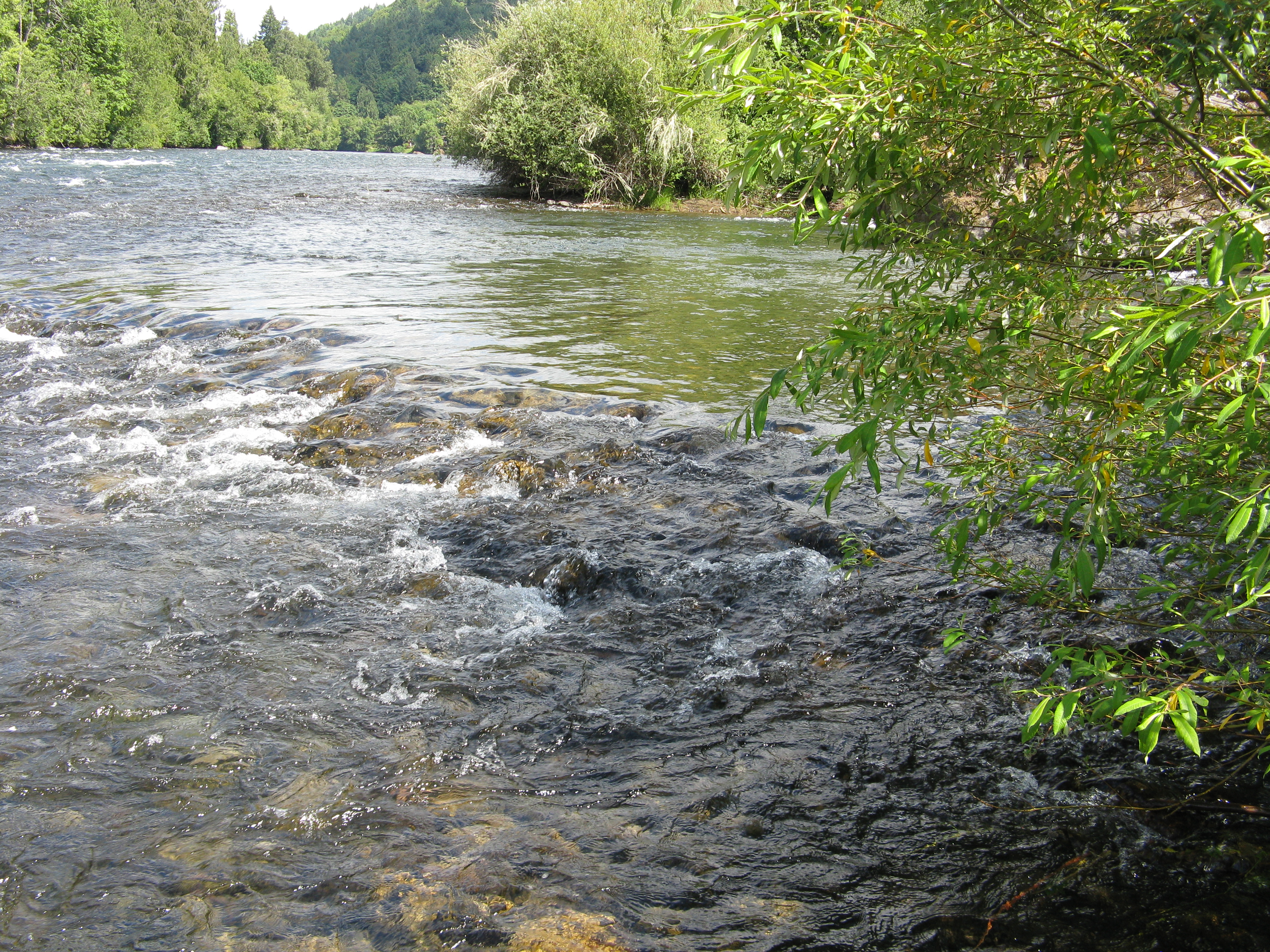
Evening Sun on the McKenzie River
Leaburg Tree #1

Upper Proxy Falls #oregonexplored #pnwonderland #pnw
Huge fallen tree on the trail #oregonexplored #pnw #pnwonderland
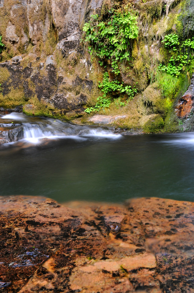
Swimming Hole, Portland Creek
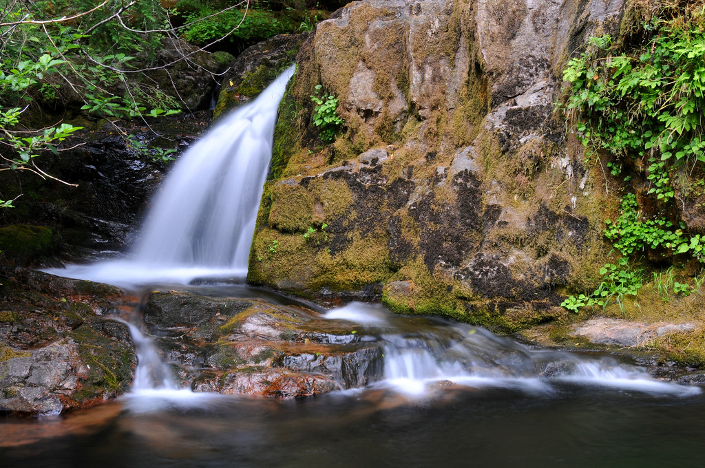
Waterfall on Portland Creek 2
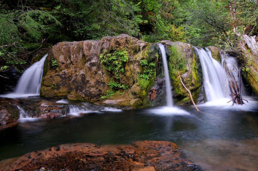
Waterfall on Portland Creek
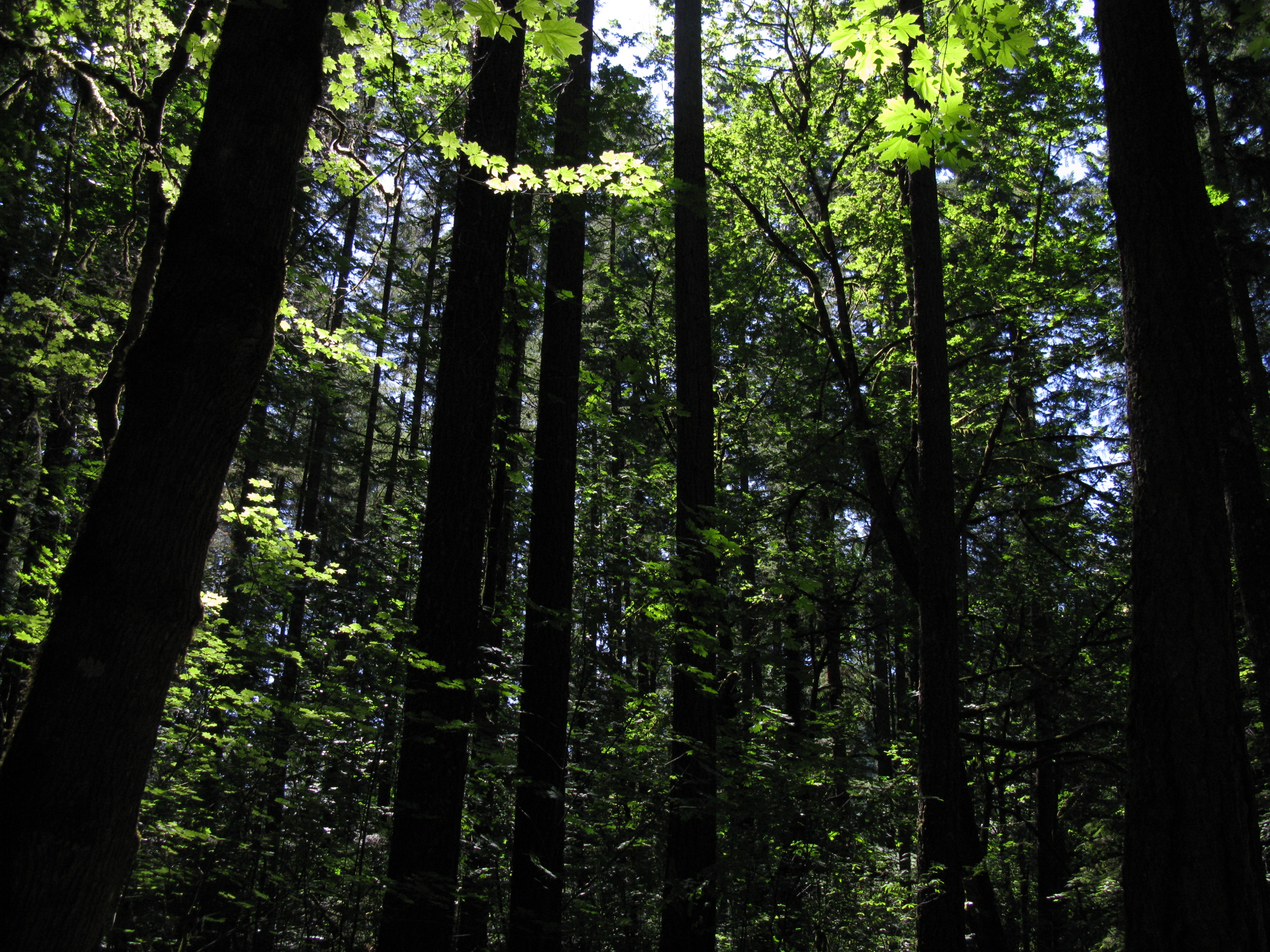
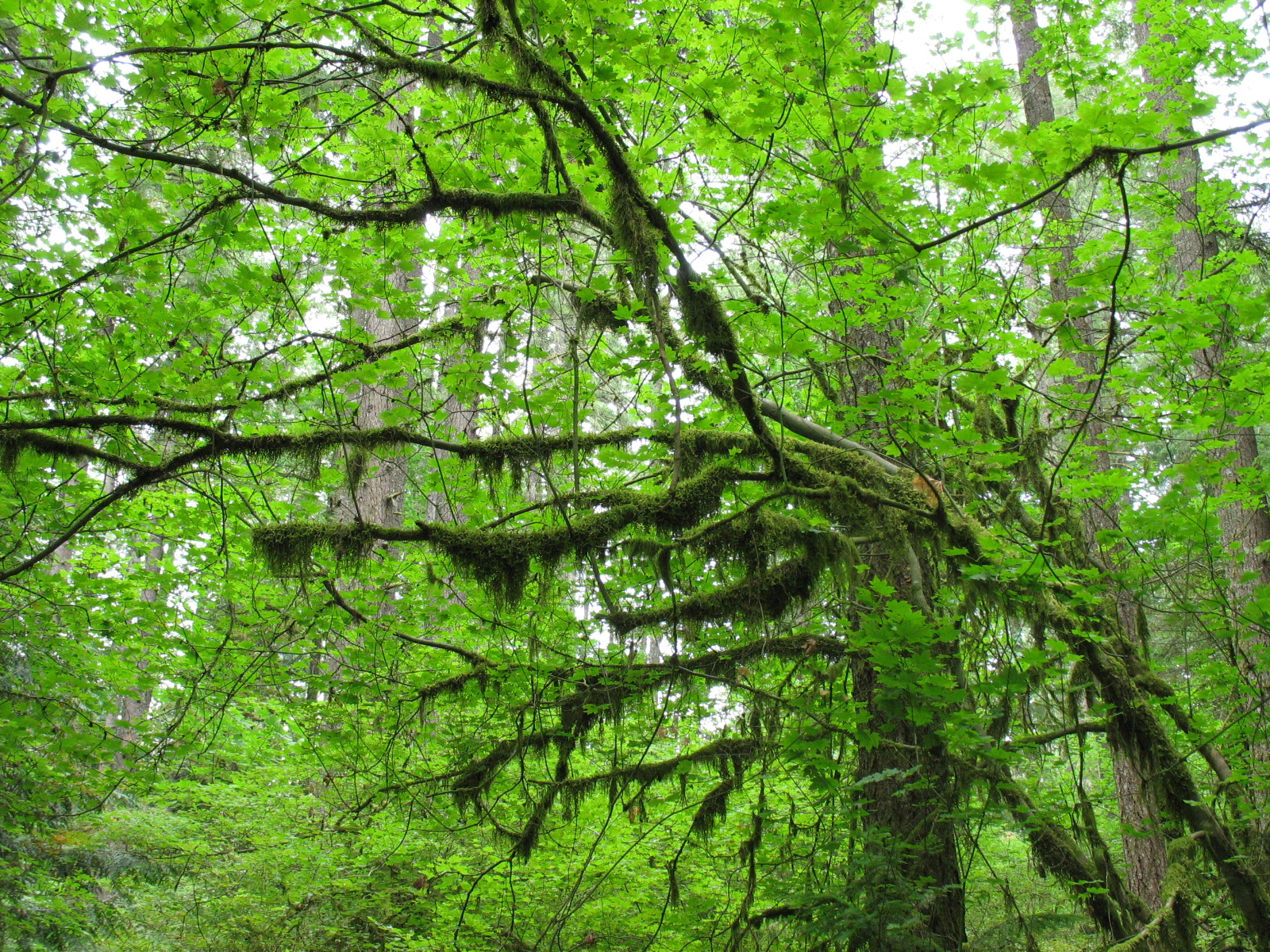
Dark Forest
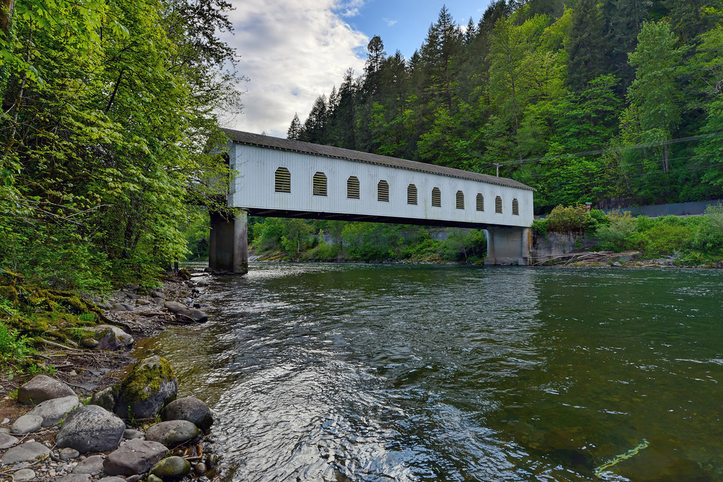
Goodpasture Bridge
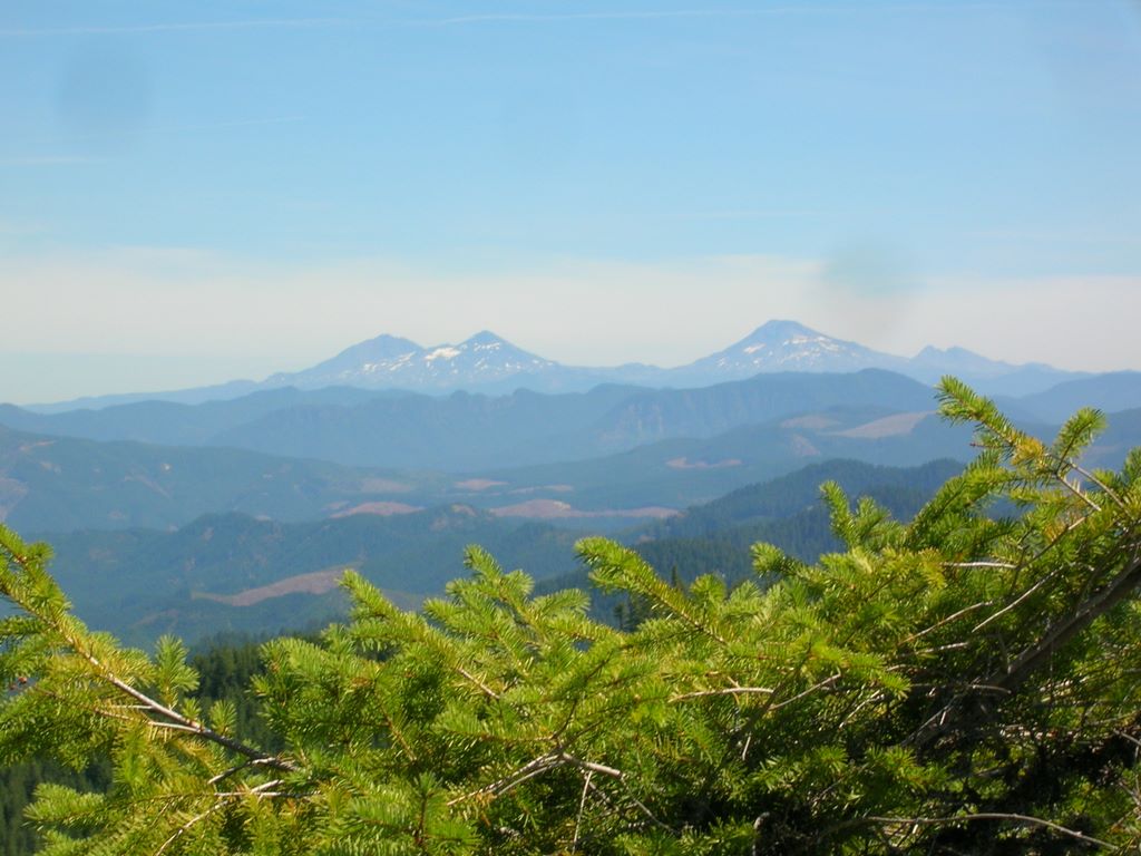
Sisters from Little Cownhorn Lookout

Skye Diving into Portland Creek
Sisters from Little Cownhorn Lookout
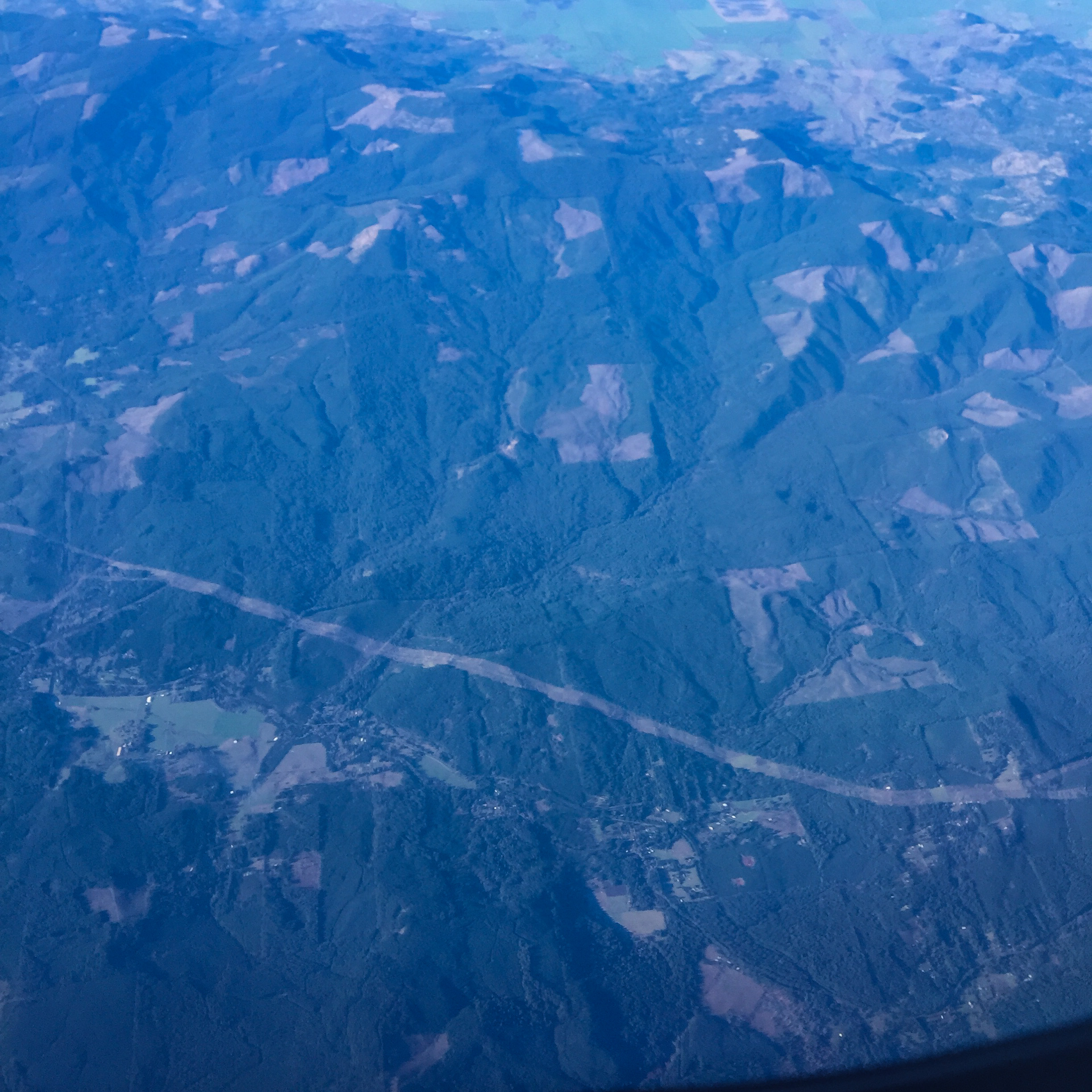
Aerials: from Las Vegas to Portland. Clear skies!
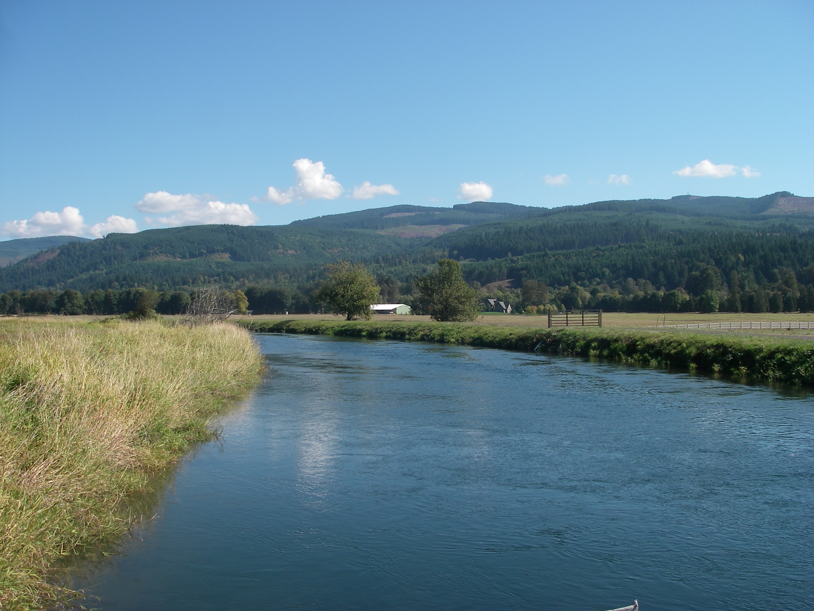
Walterville Canal
McKenzie River, Eugene

Sunset arriving on the river

North and South Sister, Broken Top and Mt. Bachelor, Oregon
Topographic Map of Greenwood Dr, Walterville, OR, USA
Find elevation by address:

Places near Greenwood Dr, Walterville, OR, USA:
Leaburg
Vida
McKenzie Hwy, Vida, OR, USA
45896 Mckenzie Hwy
Deerhorn
40668 Mckenzie Hwy
Fall Creek Trailhead #1
Lane County
39400 Upper Camp Creek Rd
Page Ln, Springfield, OR, USA
39110 Upper Camp Creek Rd
40385 Mohawk River Rd
40237 Mohawk River Rd
38808 Upper Camp Creek Rd
40051 Mohawk River Rd
38598 Upper Camp Creek Rd
49514 Mckenzie Hwy
38386 Upper Camp Creek Rd
Marcola Rd, Marcola, OR, USA
97448 Johnson Rd
Recent Searches:
- Elevation map of Greenland, Greenland
- Elevation of Sullivan Hill, New York, New York, 10002, USA
- Elevation of Morehead Road, Withrow Downs, Charlotte, Mecklenburg County, North Carolina, 28262, USA
- Elevation of 2800, Morehead Road, Withrow Downs, Charlotte, Mecklenburg County, North Carolina, 28262, USA
- Elevation of Yangbi Yi Autonomous County, Yunnan, China
- Elevation of Pingpo, Yangbi Yi Autonomous County, Yunnan, China
- Elevation of Mount Malong, Pingpo, Yangbi Yi Autonomous County, Yunnan, China
- Elevation map of Yongping County, Yunnan, China
- Elevation of North 8th Street, Palatka, Putnam County, Florida, 32177, USA
- Elevation of 107, Big Apple Road, East Palatka, Putnam County, Florida, 32131, USA
- Elevation of Jiezi, Chongzhou City, Sichuan, China
- Elevation of Chongzhou City, Sichuan, China
- Elevation of Huaiyuan, Chongzhou City, Sichuan, China
- Elevation of Qingxia, Chengdu, Sichuan, China
- Elevation of Corso Fratelli Cairoli, 35, Macerata MC, Italy
- Elevation of Tallevast Rd, Sarasota, FL, USA
- Elevation of 4th St E, Sonoma, CA, USA
- Elevation of Black Hollow Rd, Pennsdale, PA, USA
- Elevation of Oakland Ave, Williamsport, PA, USA
- Elevation of Pedrógão Grande, Portugal