Elevation of Oakridge, OR, USA
Location: United States > Oregon > Lane County >
Longitude: -122.4617159
Latitude: 43.7465124
Elevation: 368m / 1207feet
Barometric Pressure: 0KPa
Related Photos:

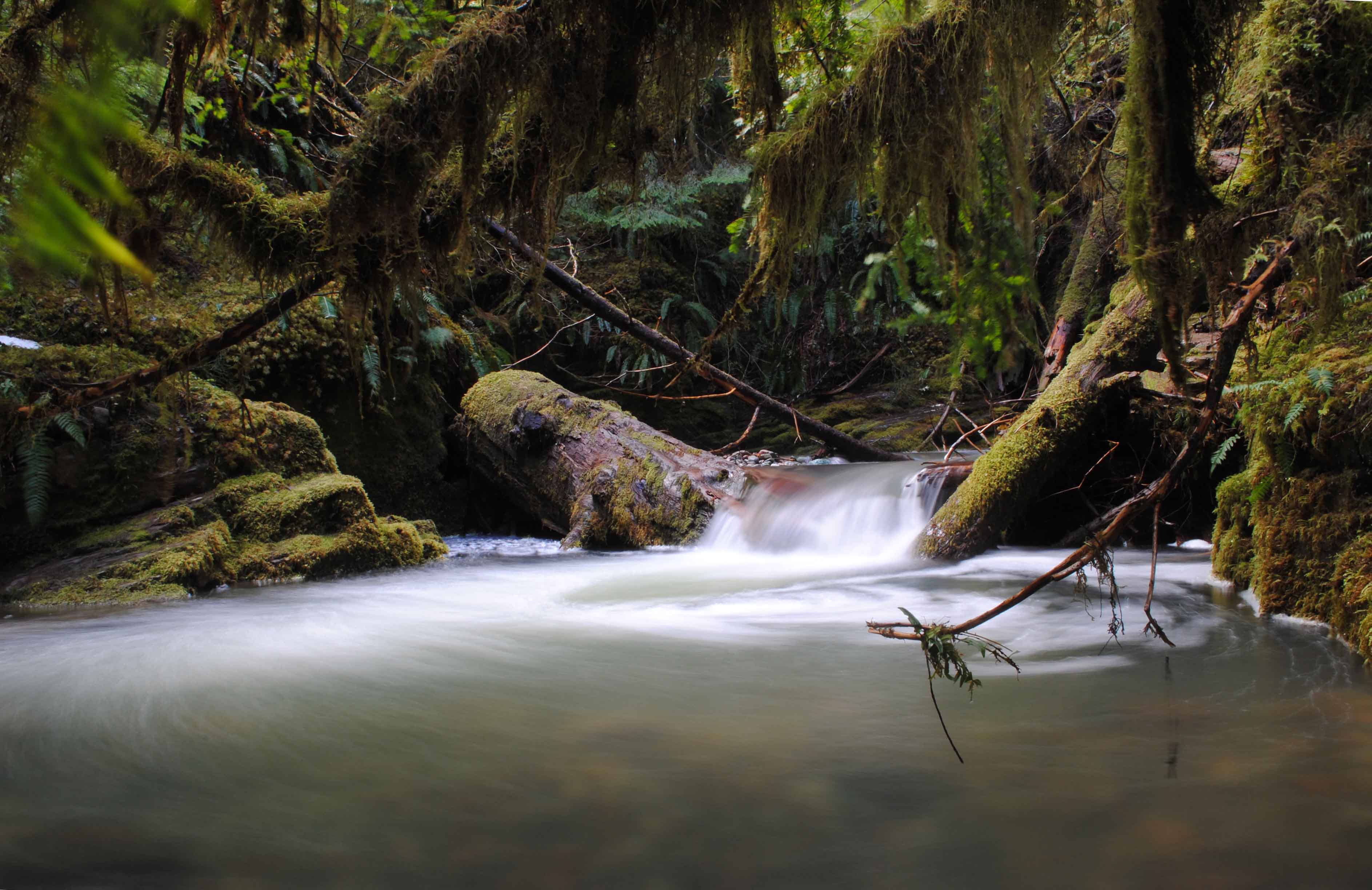
Tire Mountain Trail Study

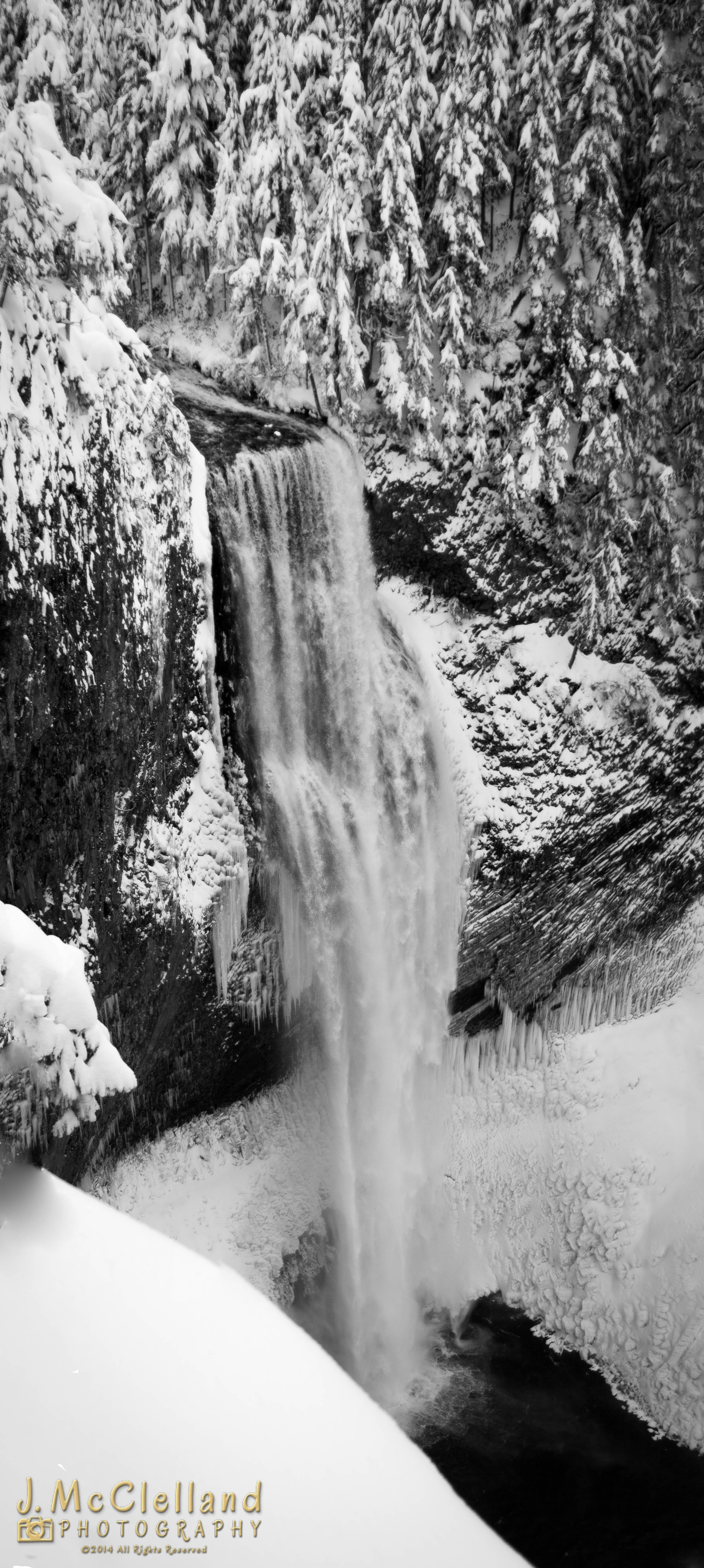
Spirit Falls

"I travel a lot, I hate having my life disrupted by routine"

Moon Falls

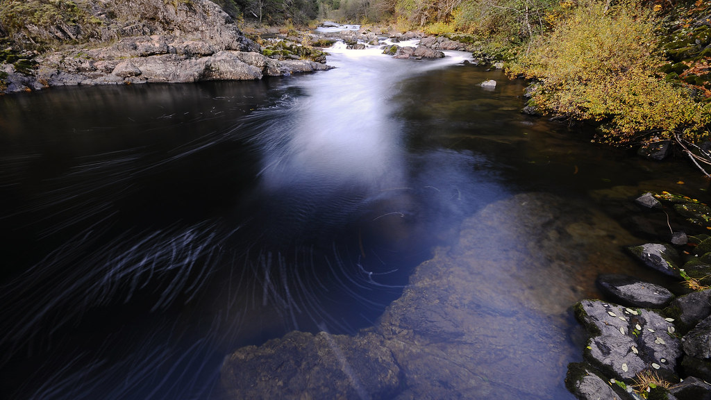
Whitehead Creek, Study #2

South Creek Falls
Alpine Trail 7-24-11

Bridge Creek Falls

Tire Mountain Trail, Study 2010-1b

Whitehead Creek, Study #1
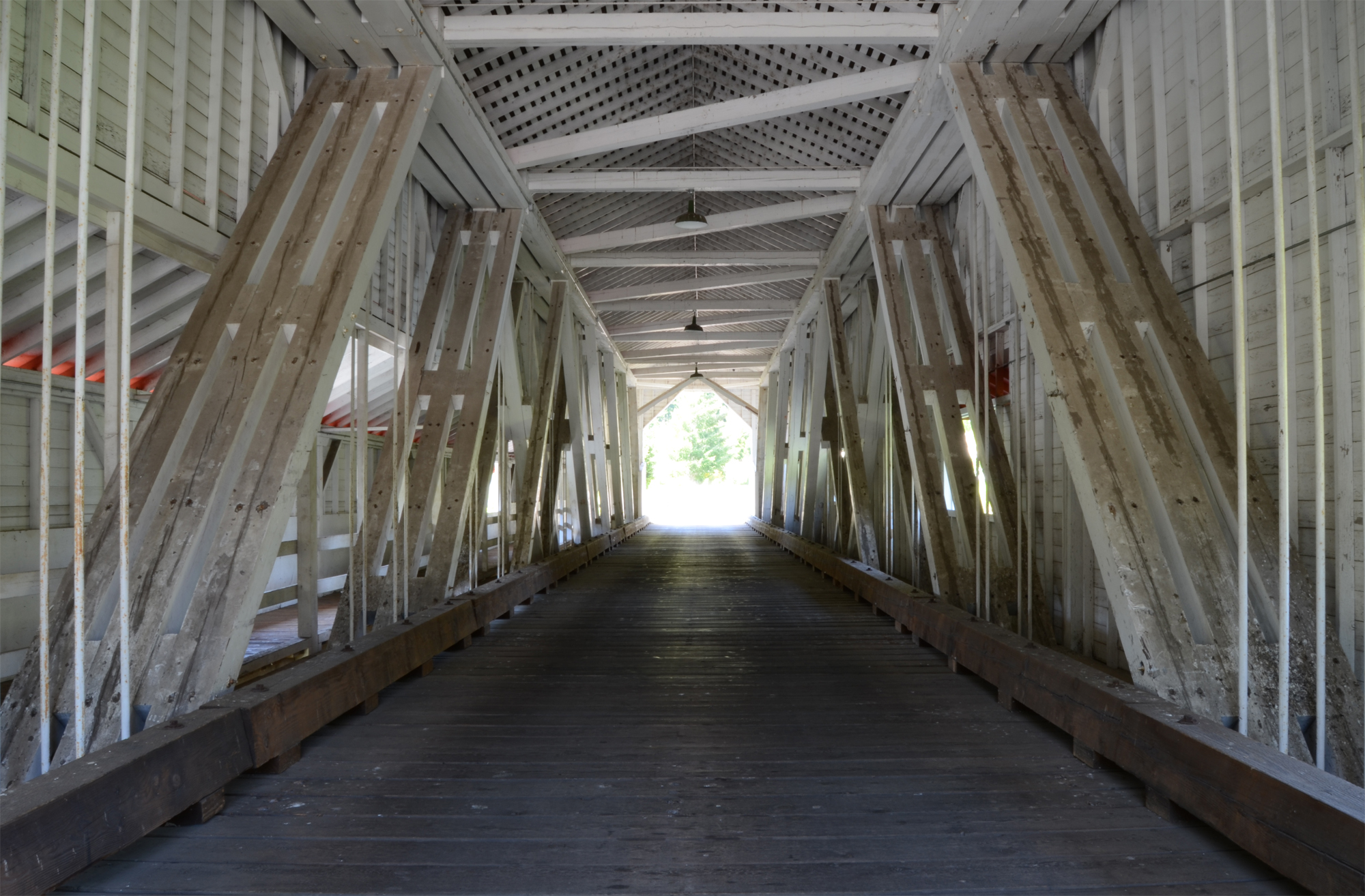
Office Covered Bridge - Interior

Pinard Falls

Tire Mountain Trail, Study 2010-1a
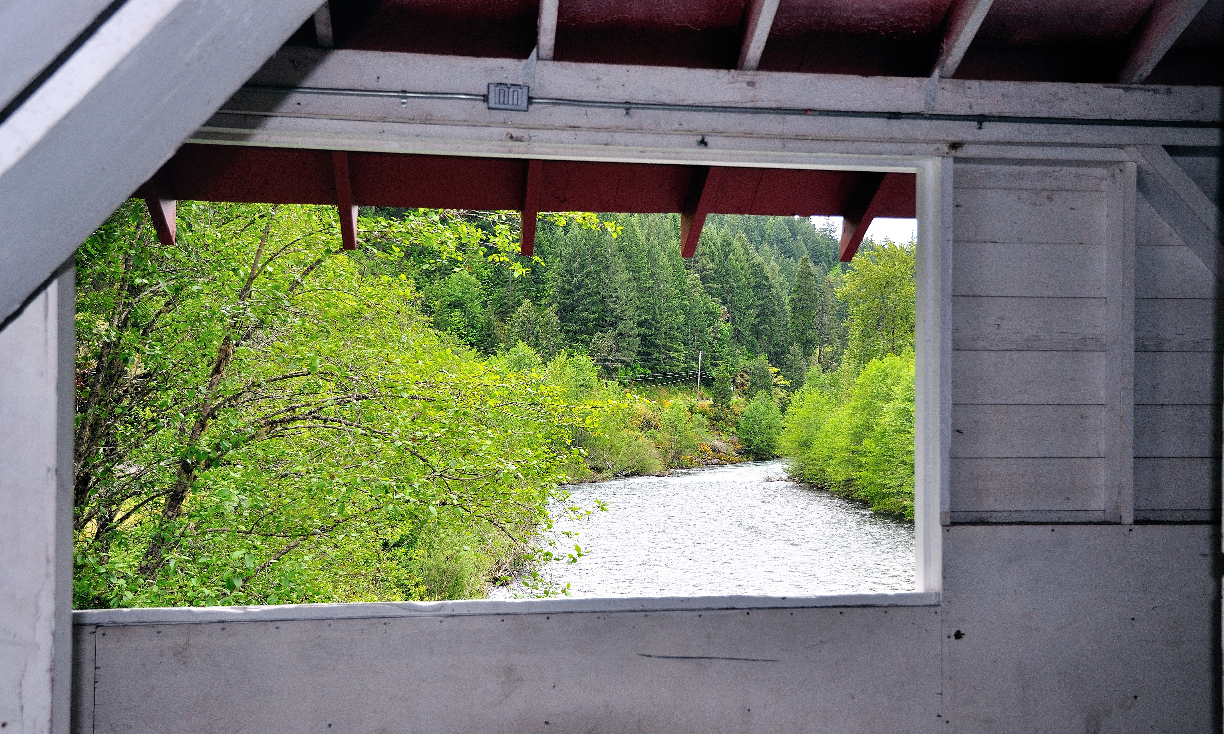
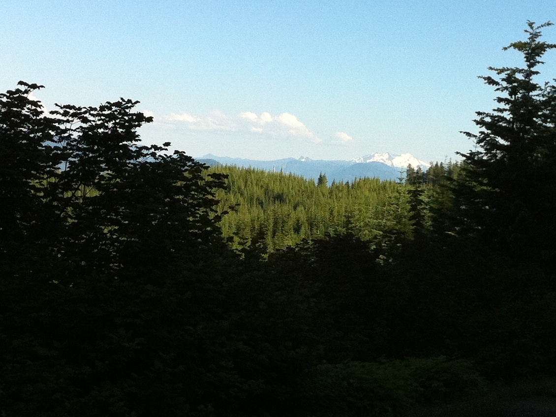
Window Framed View of a River
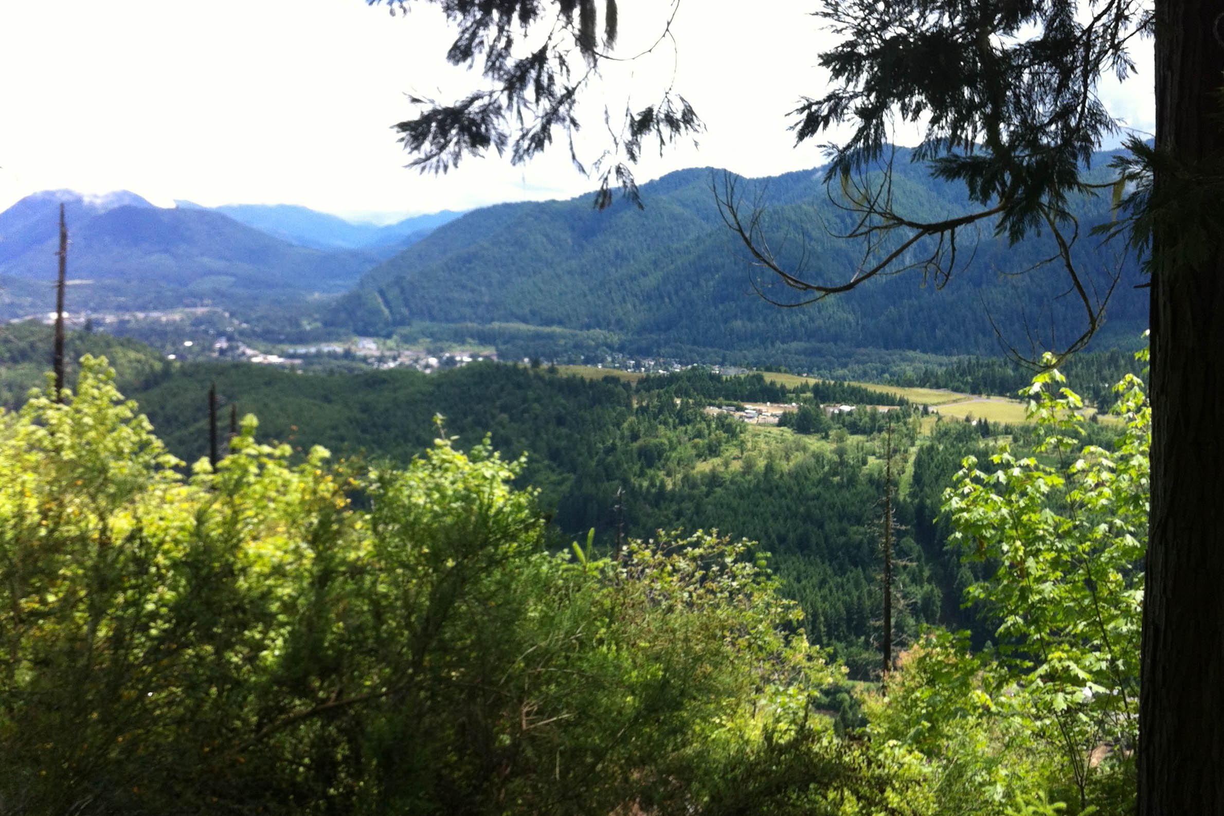
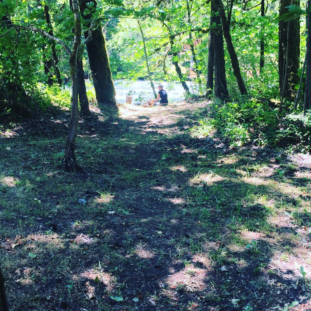
trail view 3
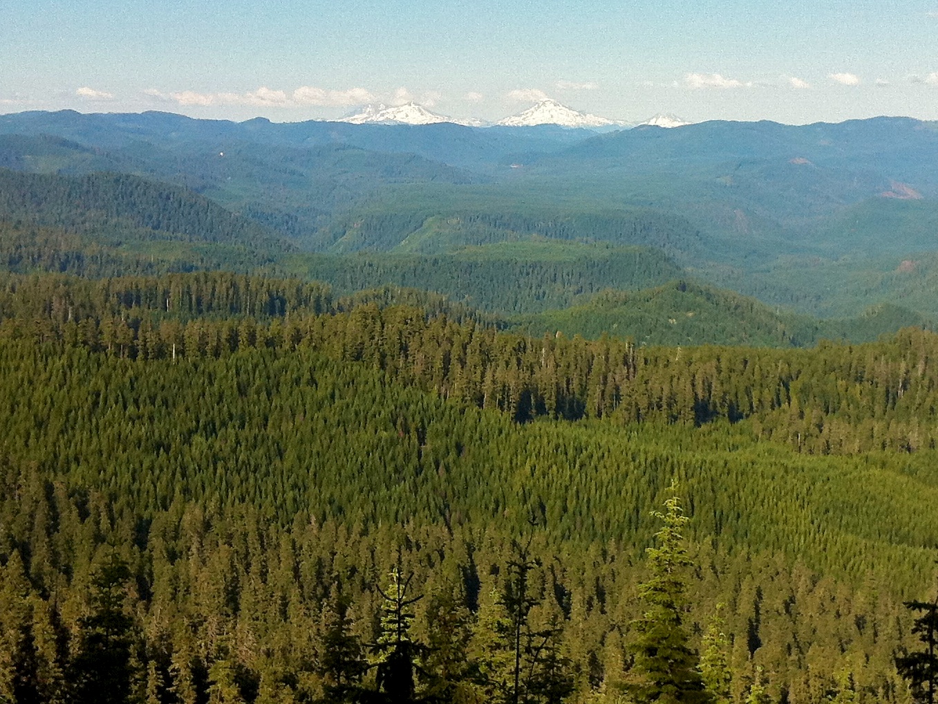
Office Covered Bridge - Mountains

17 hours on the road and I eat in the car?
Office Covered Bridge - Side - Tall
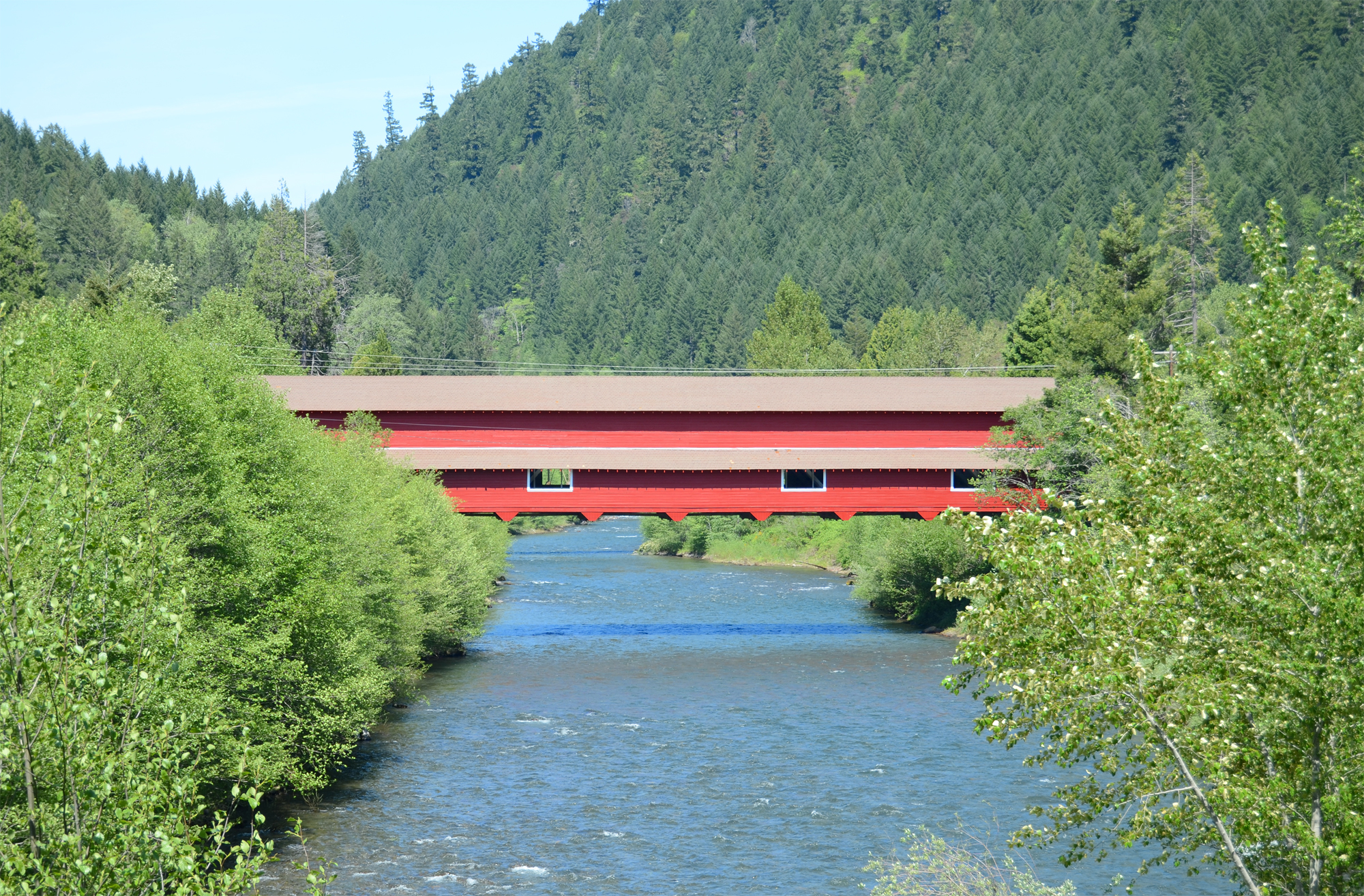
Office Covered Bridge - Side
Office Covered Bridge - View from Window
Alpine Trail 7-24-11

Under a Starry Night
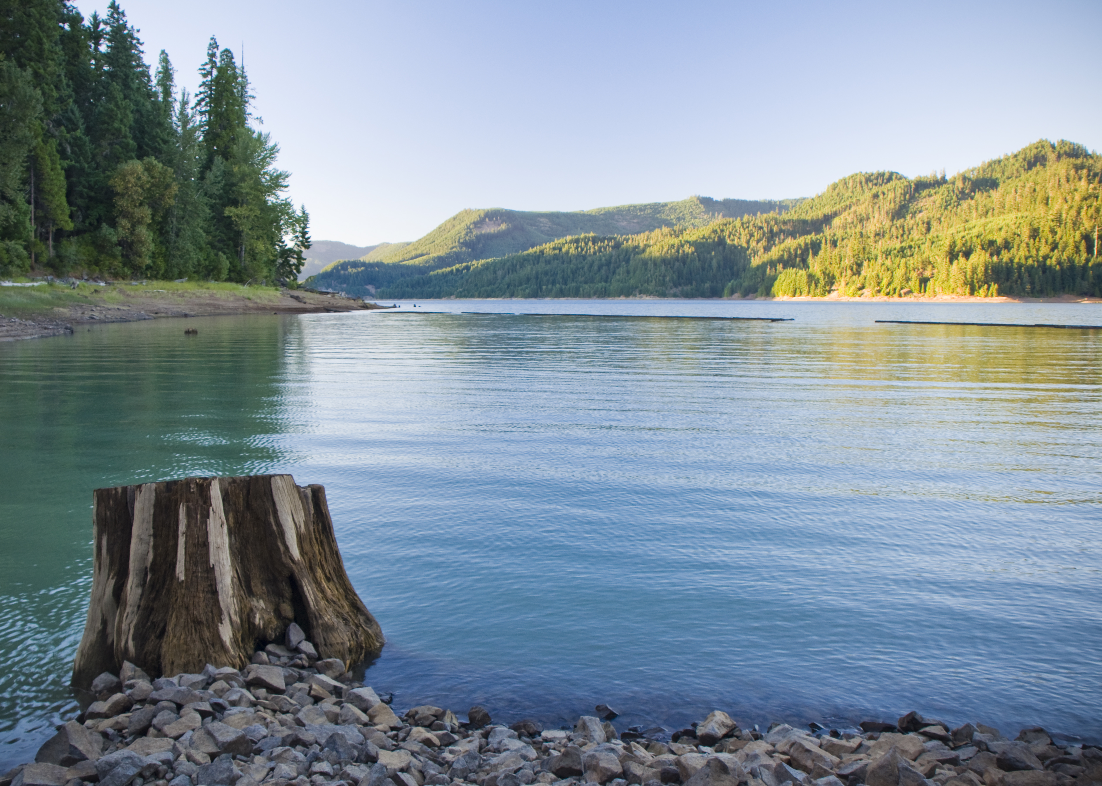
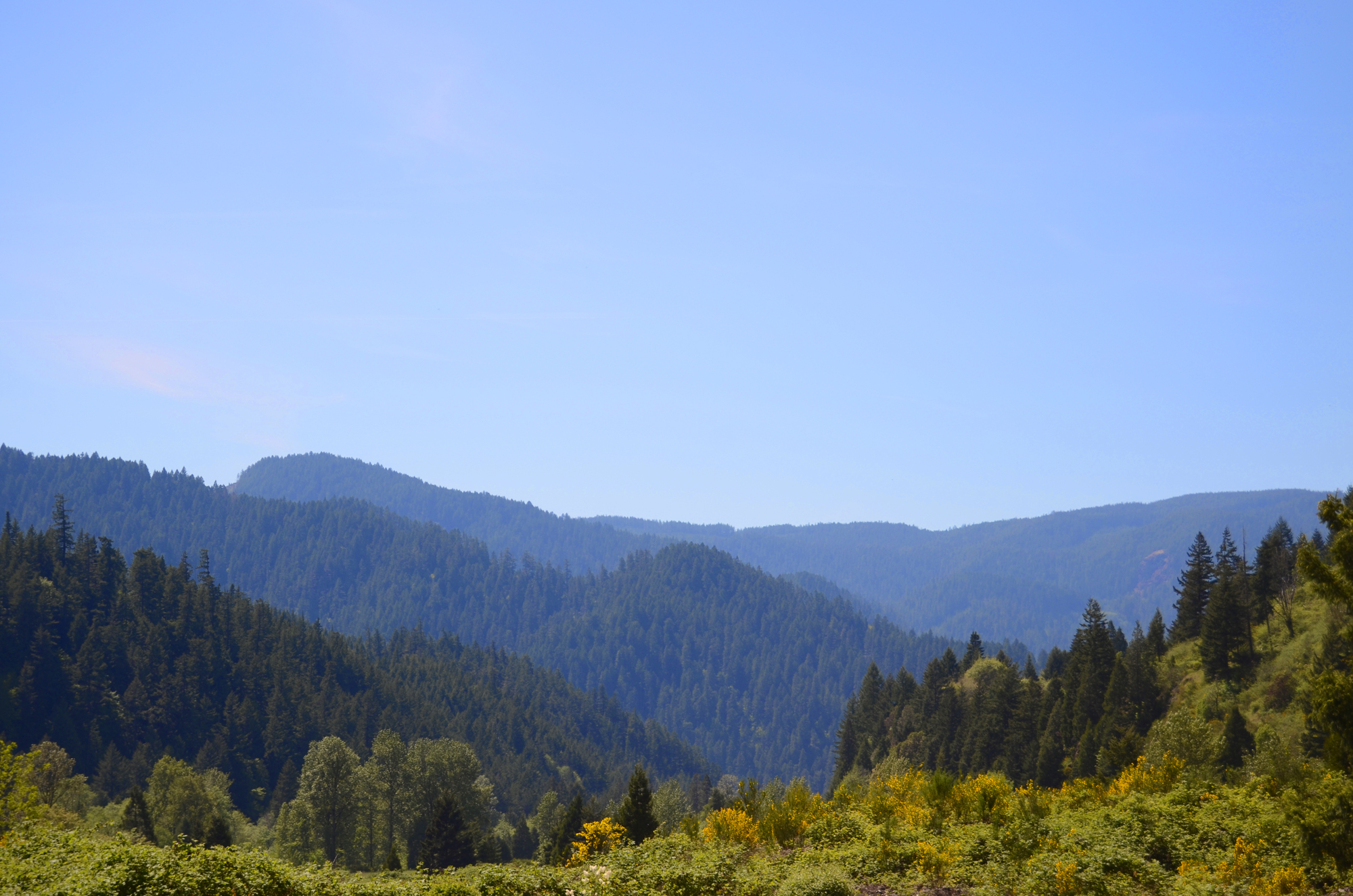
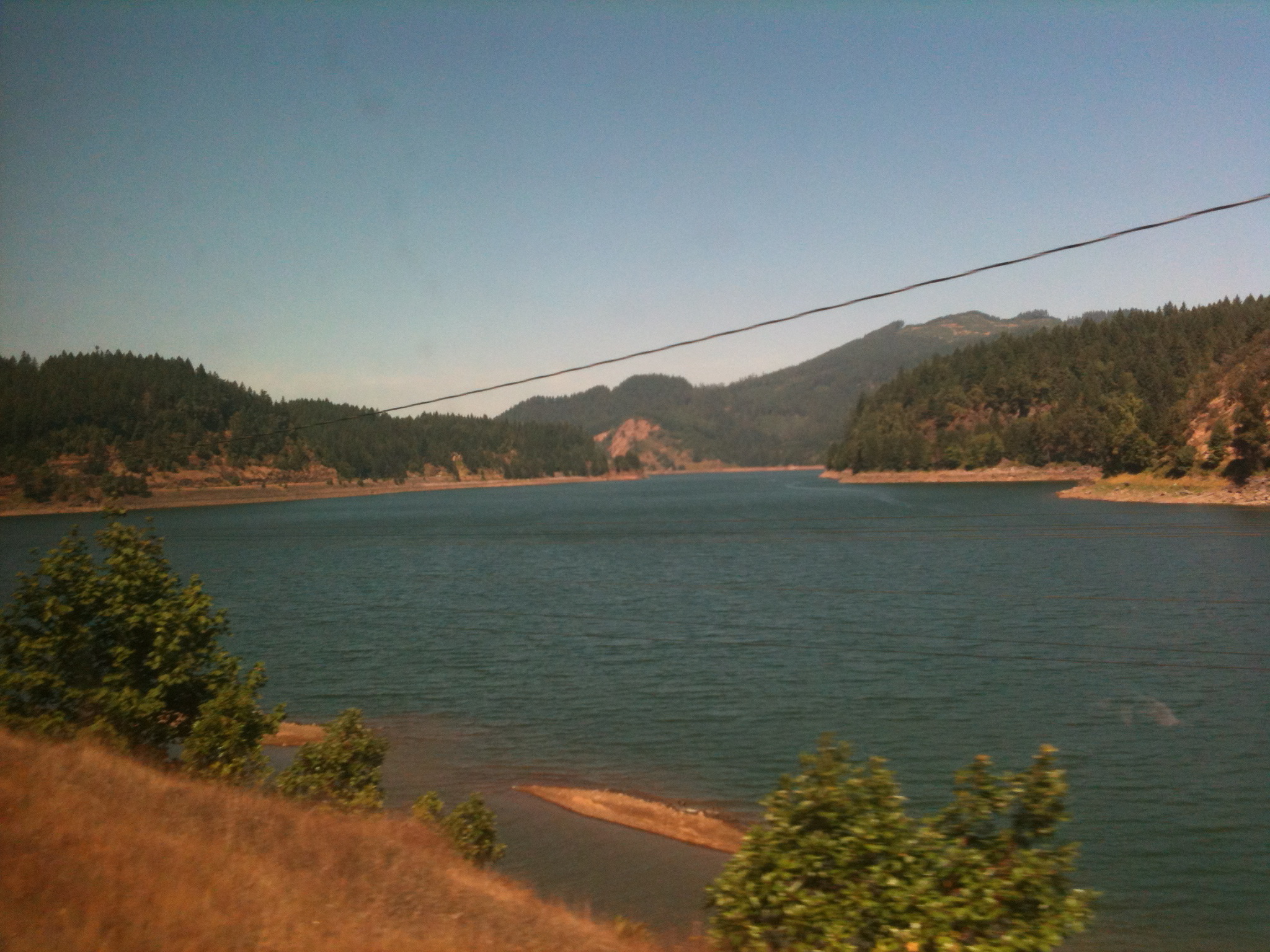
Hills Creek Lake
Alpine trail with Wyvern
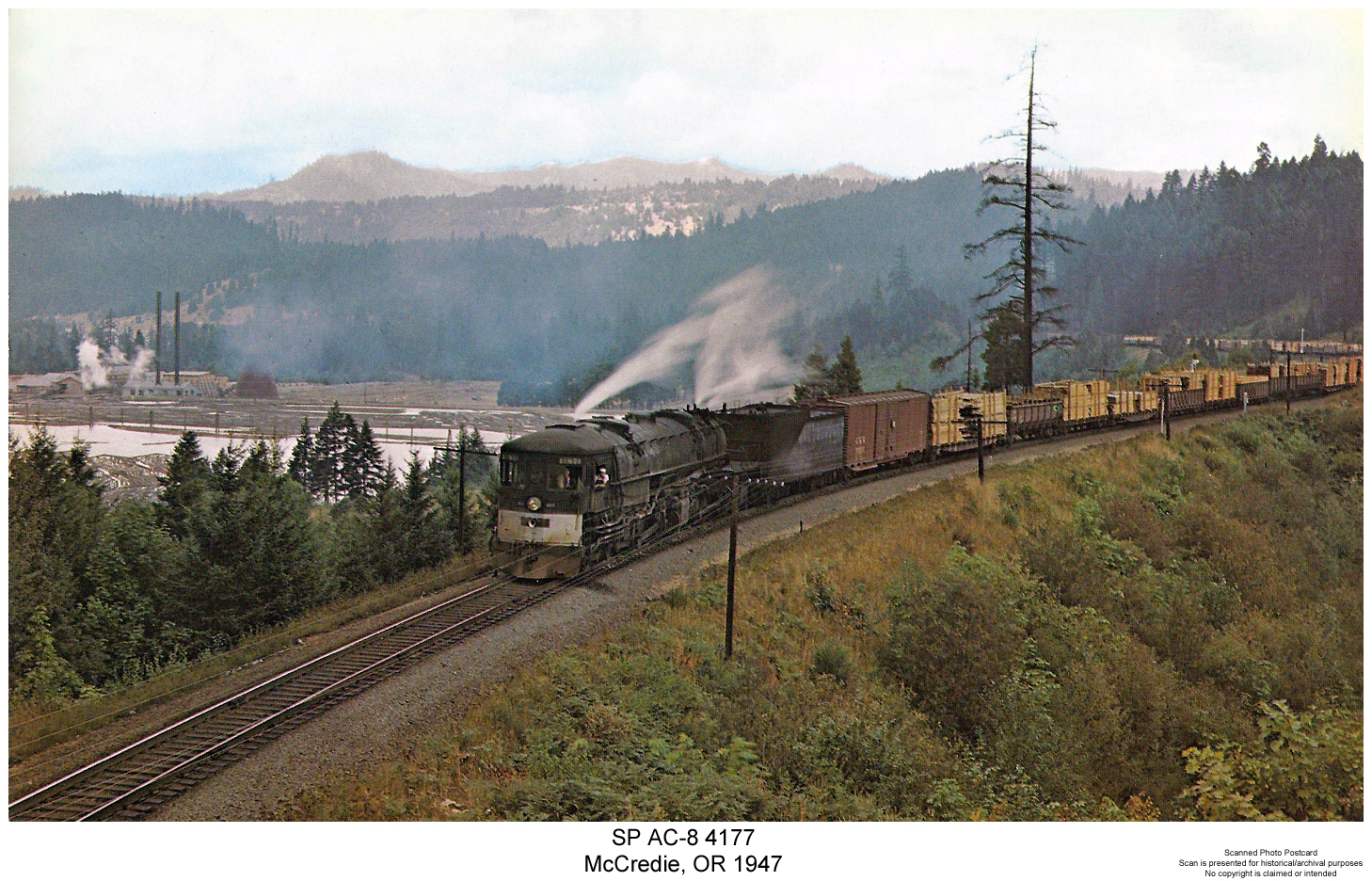
SP AC-8 4177
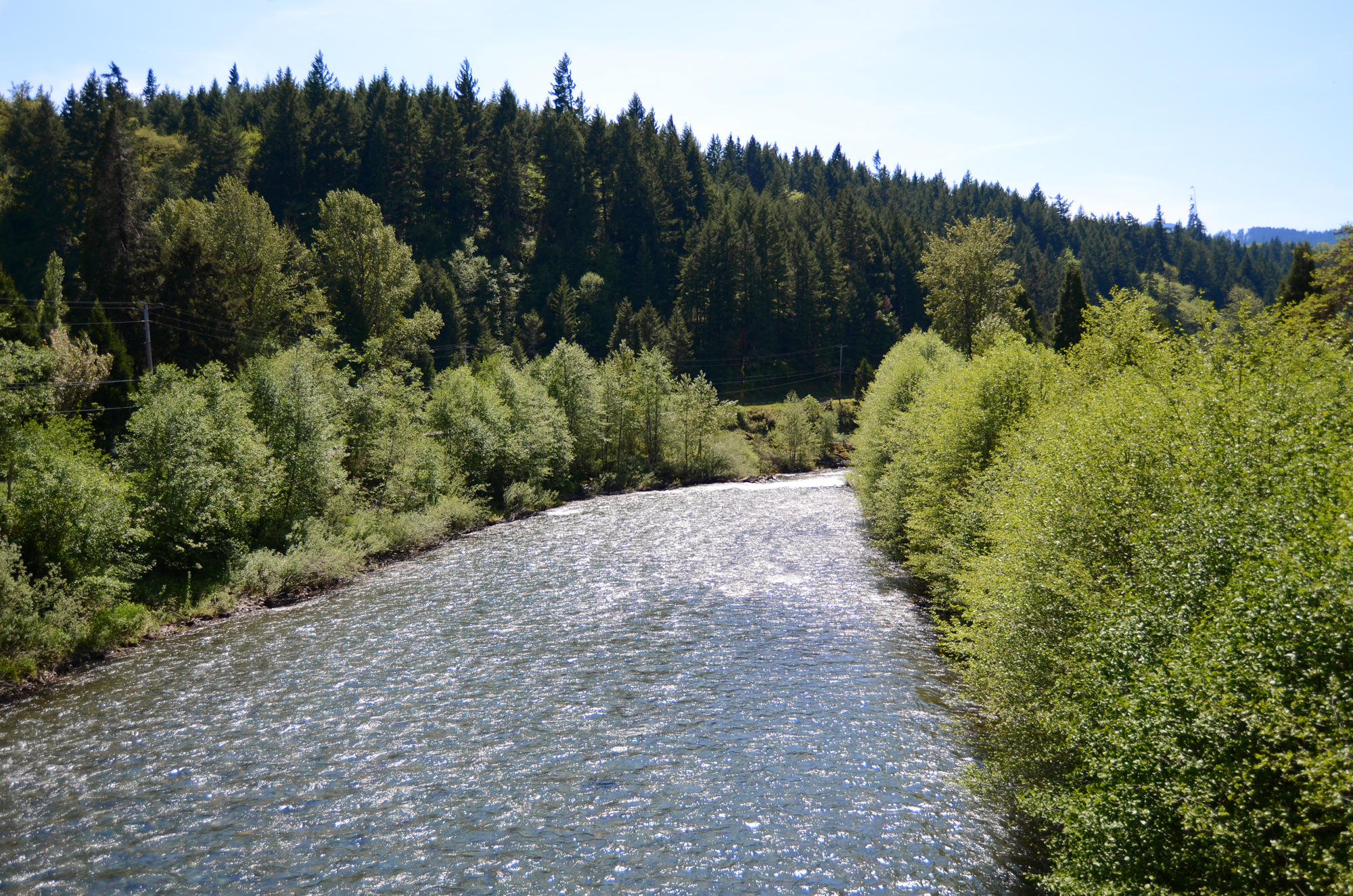
Willamette River by Westfir
North Fork 3
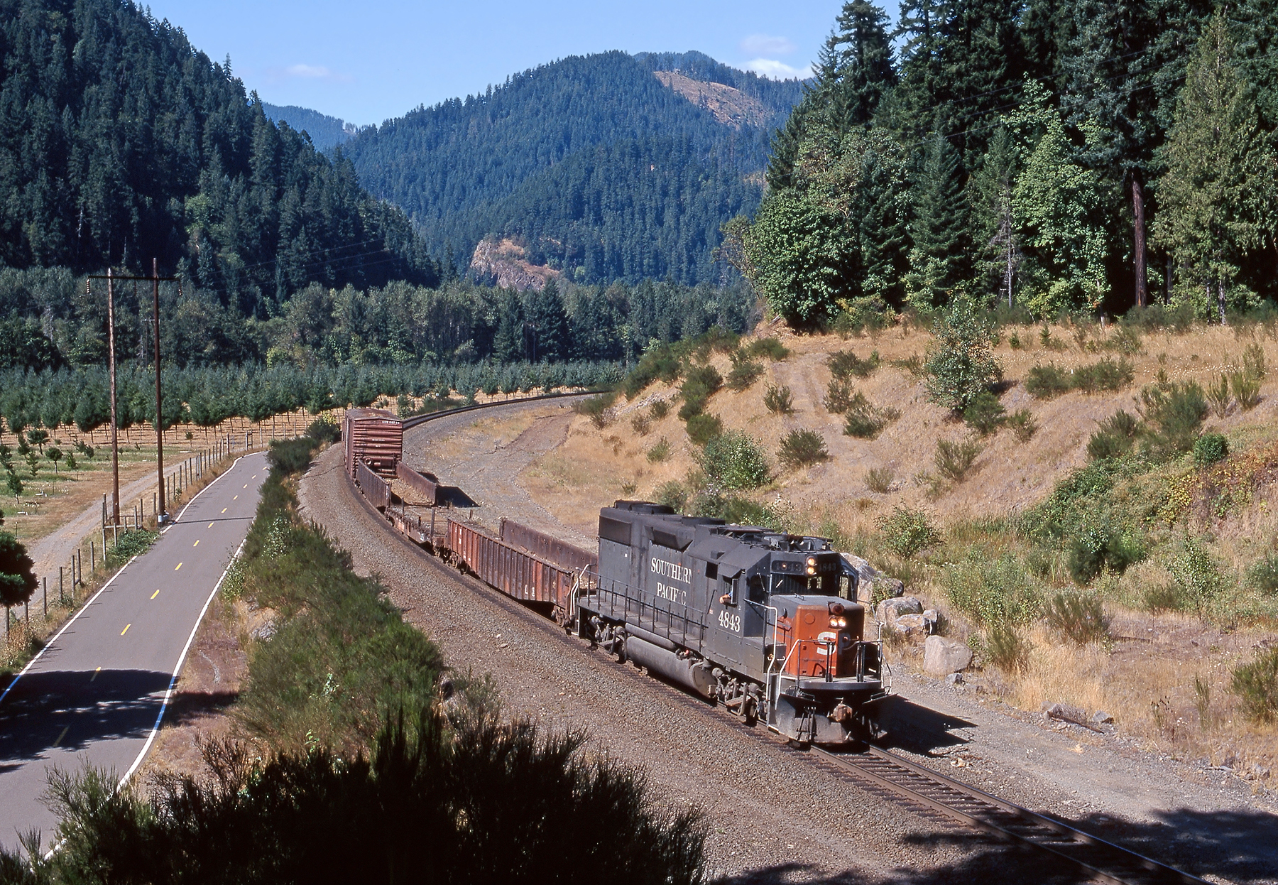
Westfir OR - SP GP38-2 4843
Larison creek oakridge Oregon

North Fork 1
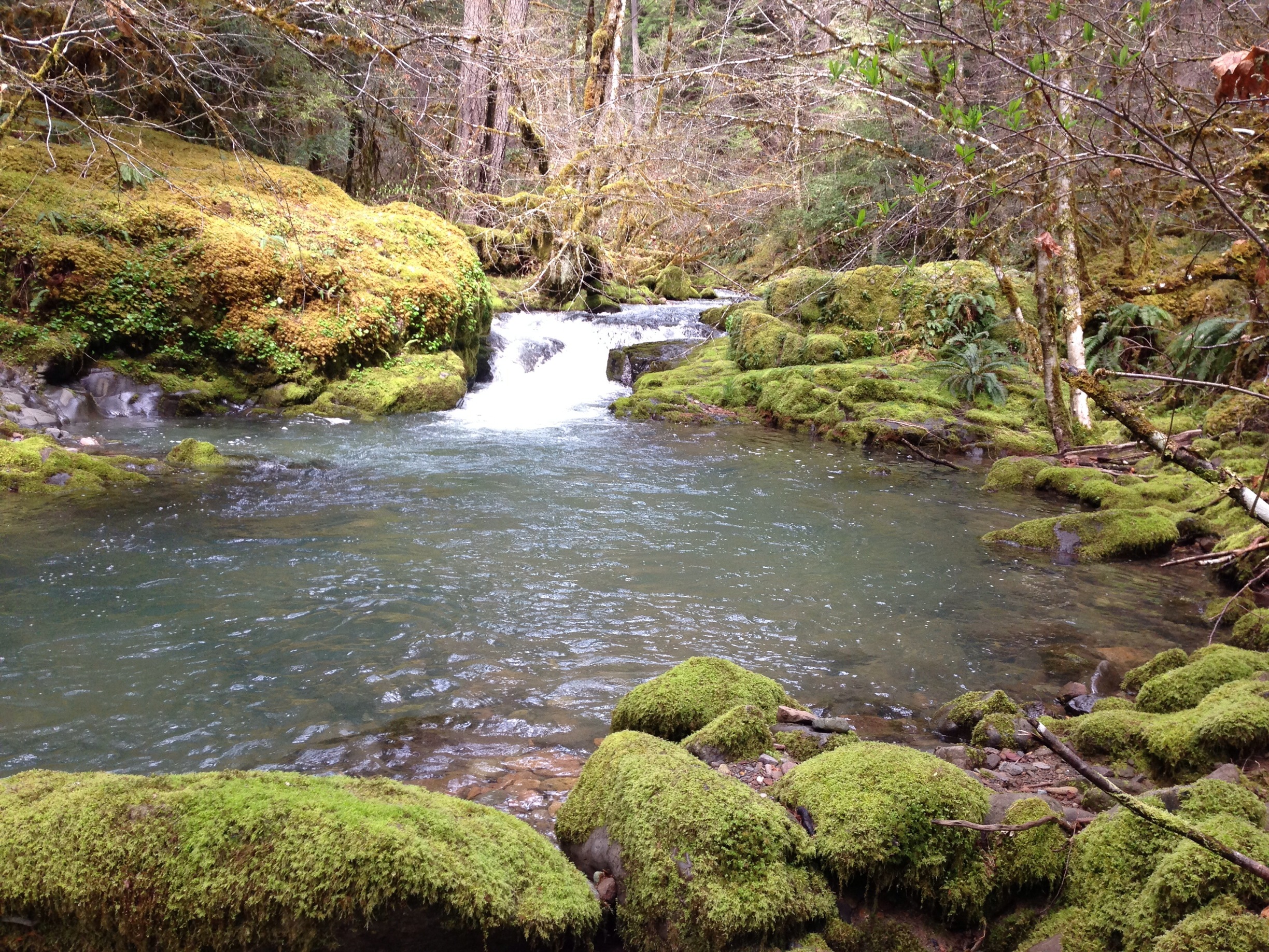
Larison Creek
A reservoir just east of (and a bit up from) Eugene
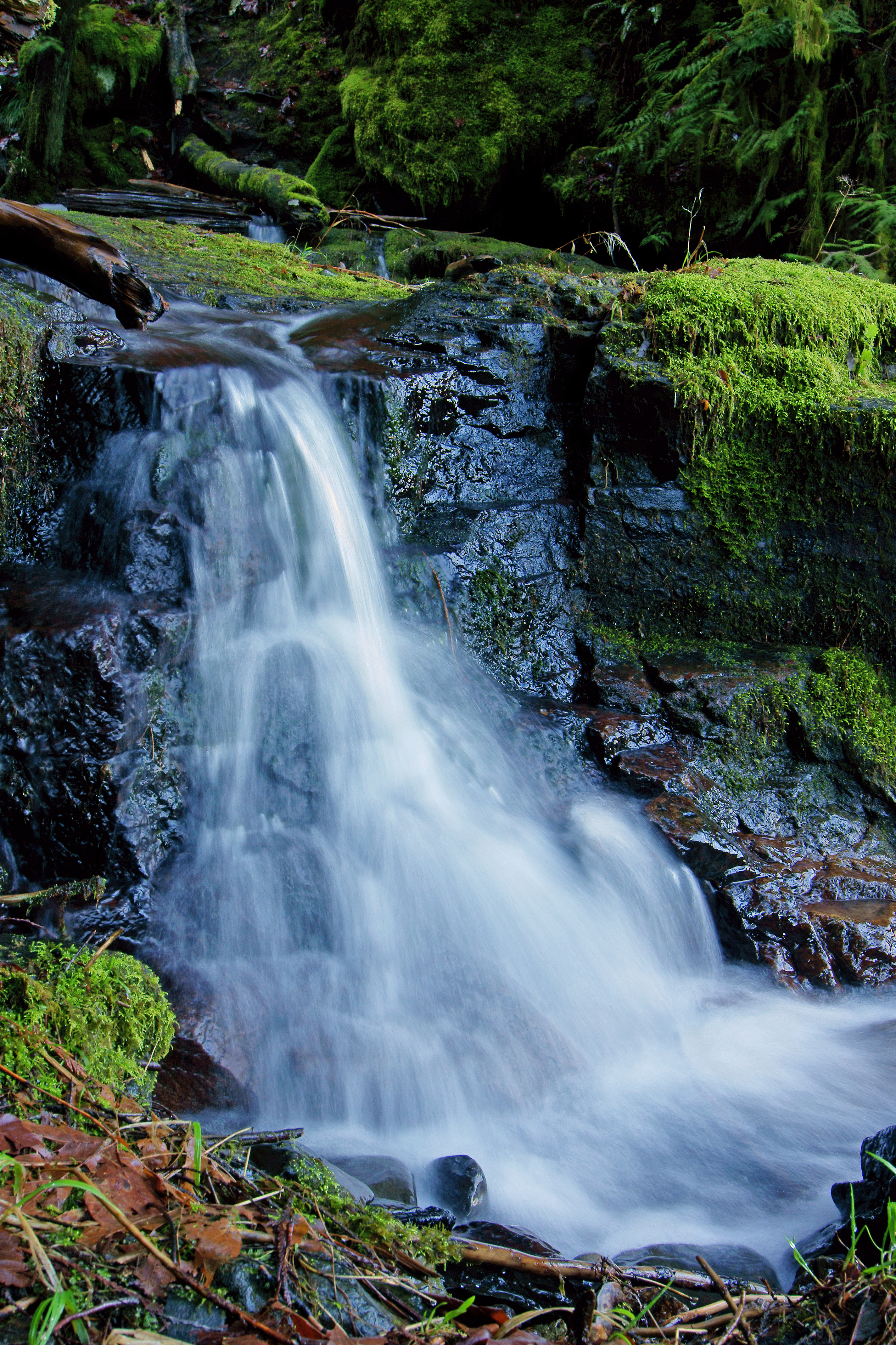
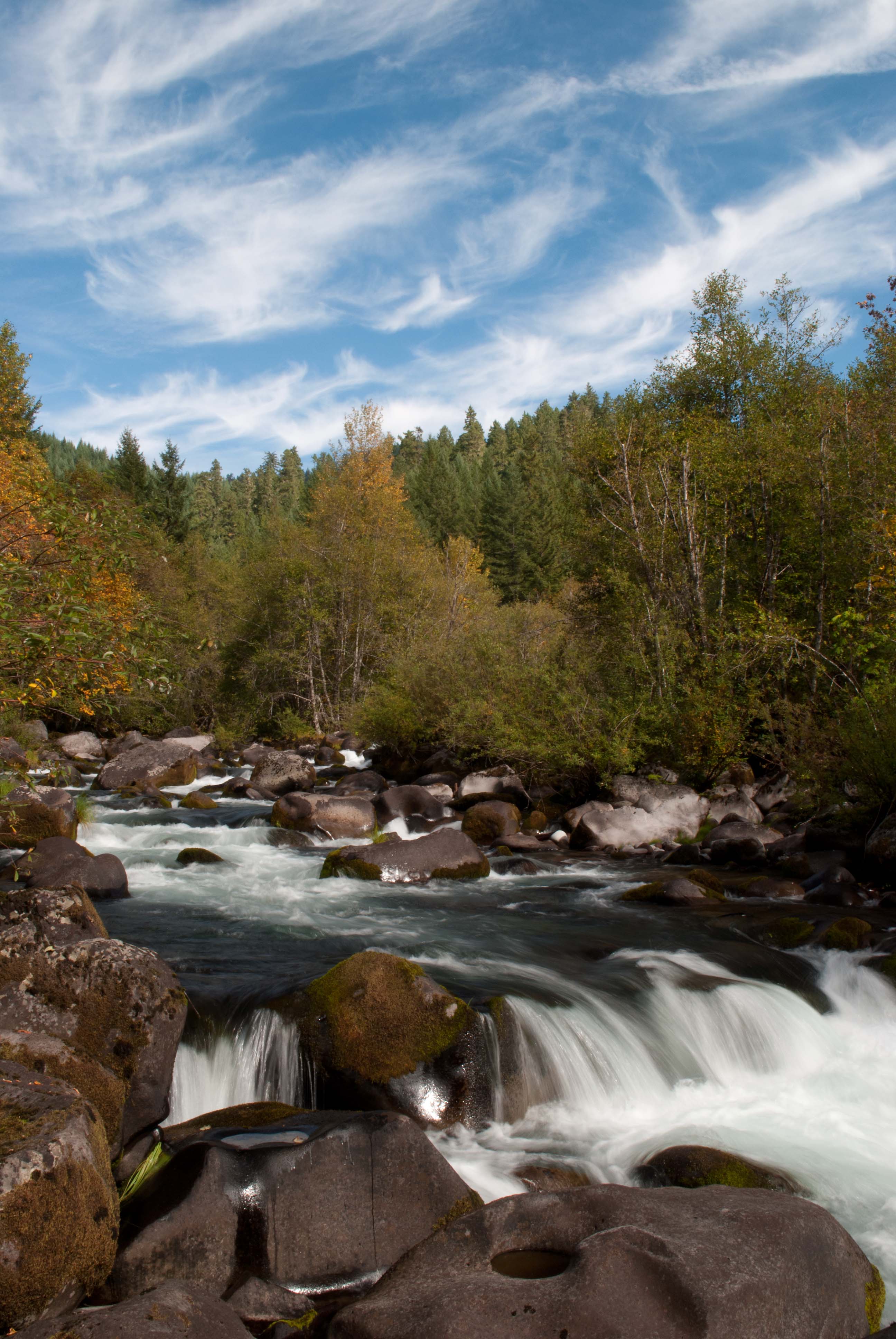
Little Fall Along Hwy 58
Happy place
Salt Creek Falls, Oregon

Larison Creek Trail
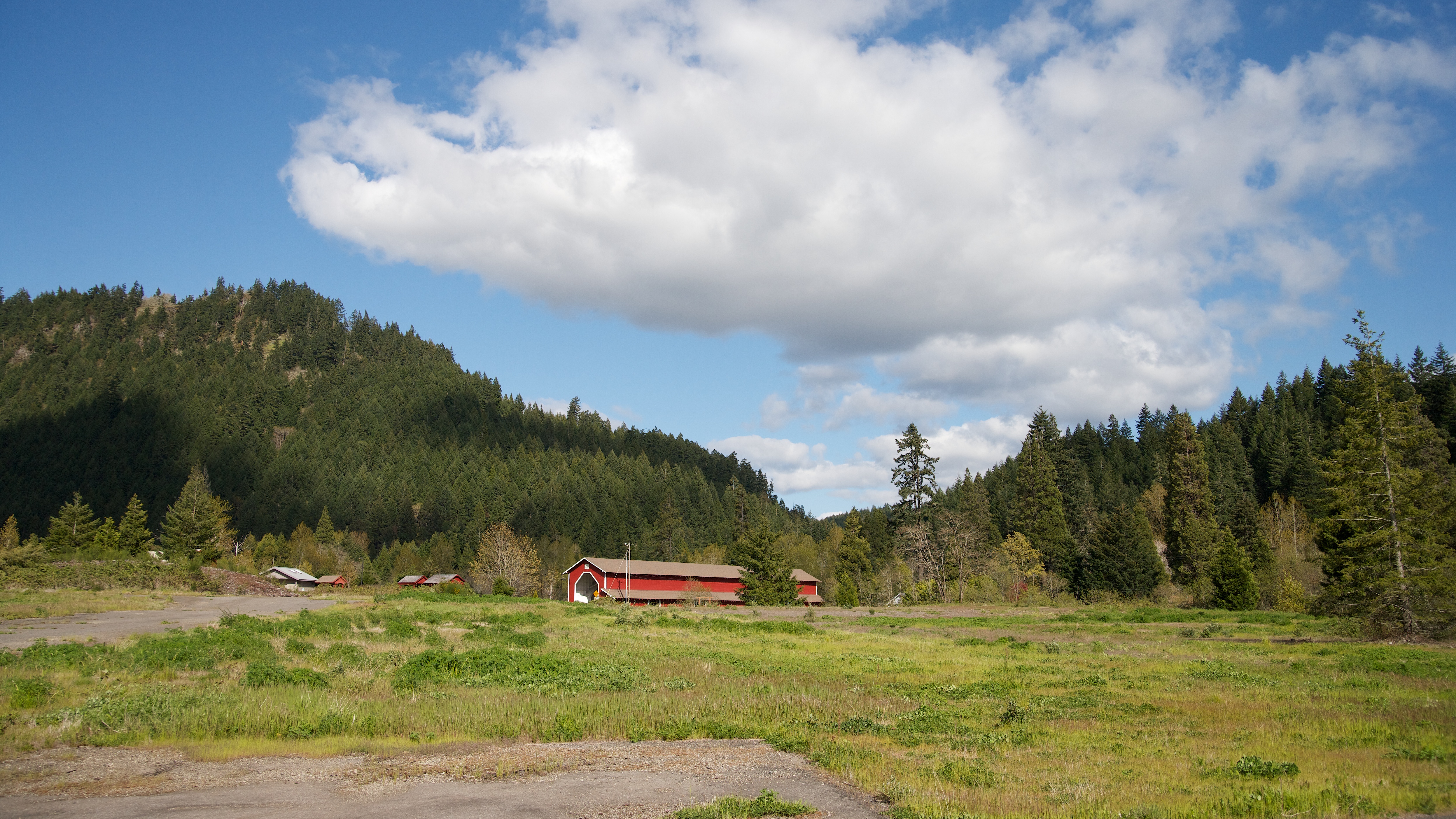
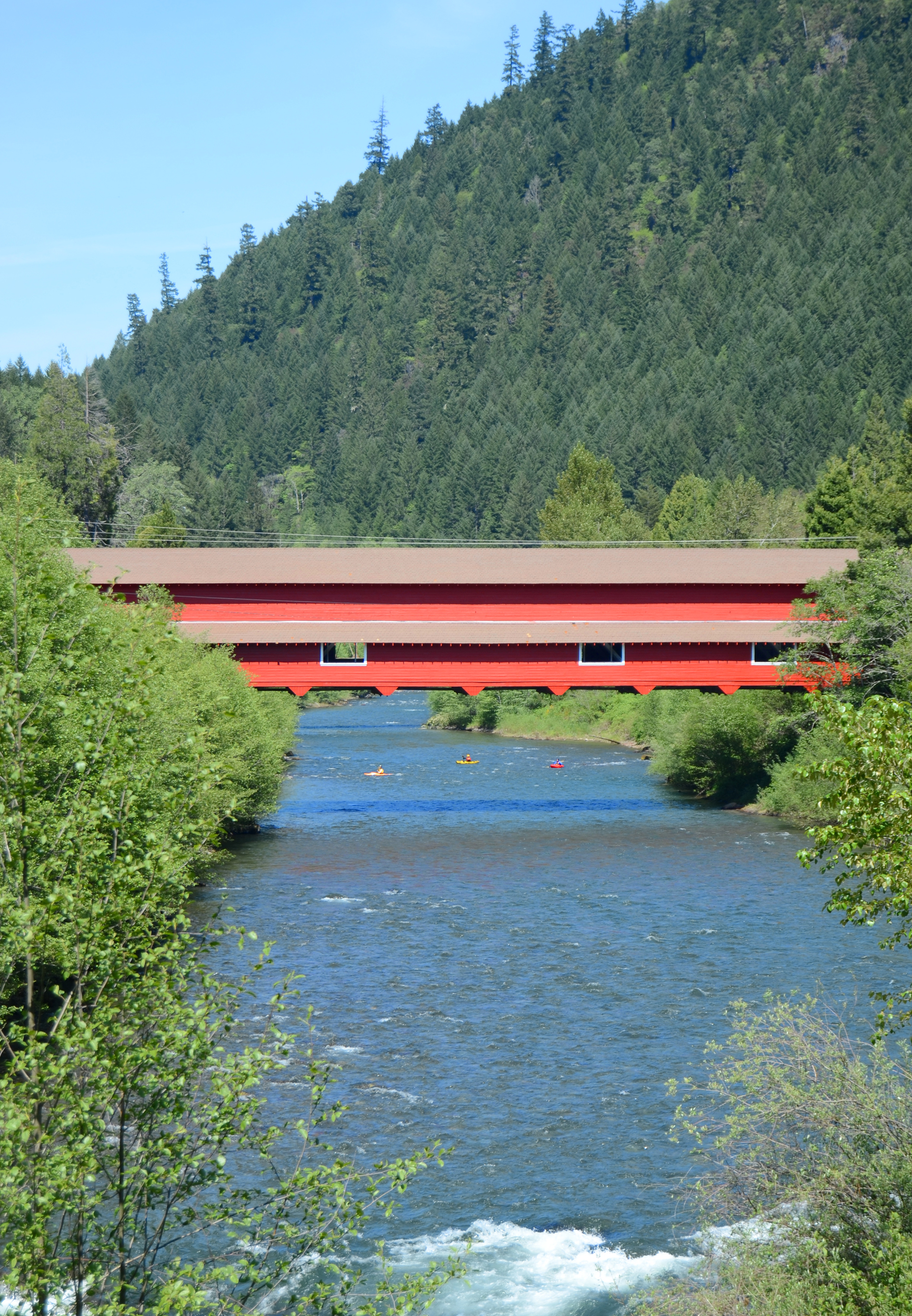
Red covered bridge

Larison Creek Trail
Topographic Map of Oakridge, OR, USA
Find elevation by address:

Places in Oakridge, OR, USA:
Commercial St, Oakridge, OR, USA
Blue Pool Campground
49292 Mountain View Rd
47386 Or-58
47706 W 2nd St
77406 High Prairie Rd
Places near Oakridge, OR, USA:
Commercial St, Oakridge, OR, USA
47706 W 2nd St
77406 High Prairie Rd
47386 Or-58
Westfir
49292 Mountain View Rd
Fall Creek Trailhead #1
Lane County
40259 Brice Creek Rd
39286 Old Giustina Mill Rd
Lowell
Wildwood
49514 Mckenzie Hwy
38081 Row River Rd
81997 Lost Creek Rd
Dexter
Dorena
45896 Mckenzie Hwy
90087 Greenwood Dr
McKenzie Hwy, Vida, OR, USA
Recent Searches:
- Elevation map of Greenland, Greenland
- Elevation of Sullivan Hill, New York, New York, 10002, USA
- Elevation of Morehead Road, Withrow Downs, Charlotte, Mecklenburg County, North Carolina, 28262, USA
- Elevation of 2800, Morehead Road, Withrow Downs, Charlotte, Mecklenburg County, North Carolina, 28262, USA
- Elevation of Yangbi Yi Autonomous County, Yunnan, China
- Elevation of Pingpo, Yangbi Yi Autonomous County, Yunnan, China
- Elevation of Mount Malong, Pingpo, Yangbi Yi Autonomous County, Yunnan, China
- Elevation map of Yongping County, Yunnan, China
- Elevation of North 8th Street, Palatka, Putnam County, Florida, 32177, USA
- Elevation of 107, Big Apple Road, East Palatka, Putnam County, Florida, 32131, USA
- Elevation of Jiezi, Chongzhou City, Sichuan, China
- Elevation of Chongzhou City, Sichuan, China
- Elevation of Huaiyuan, Chongzhou City, Sichuan, China
- Elevation of Qingxia, Chengdu, Sichuan, China
- Elevation of Corso Fratelli Cairoli, 35, Macerata MC, Italy
- Elevation of Tallevast Rd, Sarasota, FL, USA
- Elevation of 4th St E, Sonoma, CA, USA
- Elevation of Black Hollow Rd, Pennsdale, PA, USA
- Elevation of Oakland Ave, Williamsport, PA, USA
- Elevation of Pedrógão Grande, Portugal