Elevation of Dorena, OR, USA
Location: United States > Oregon > Lane County >
Longitude: -122.8620118
Latitude: 43.7198452
Elevation: 281m / 922feet
Barometric Pressure: 0KPa
Related Photos:

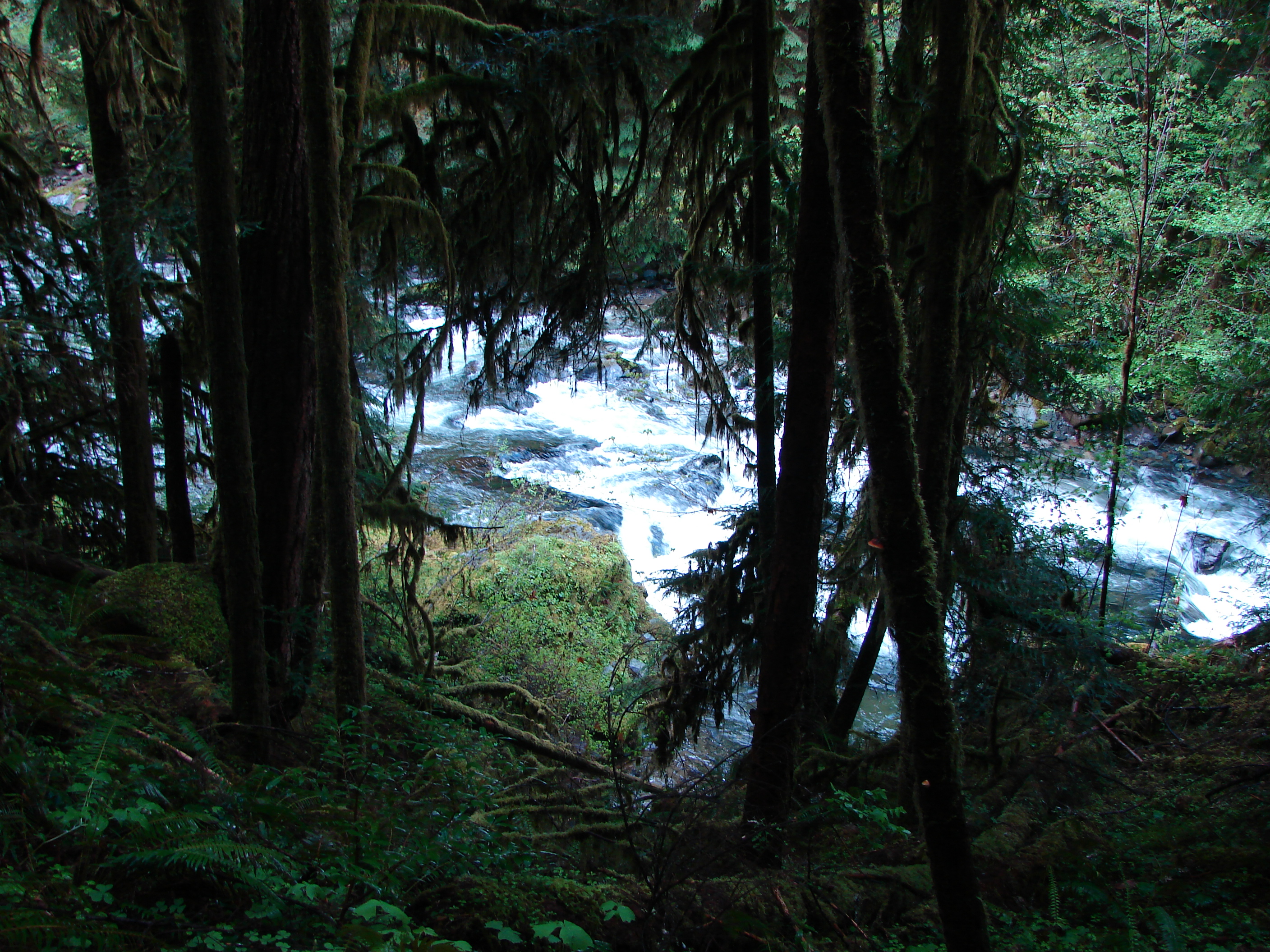
Looking down the Creek Valley
View on the hike down :-) #oregonexplored #pnw #pnwonderland

Admiring the view ;-) #pnwonderdogs #pnw #dogsofinstagram

Enjoying the view with my pups :-) #dogsofinstagram #pnwonderdogs #pnw
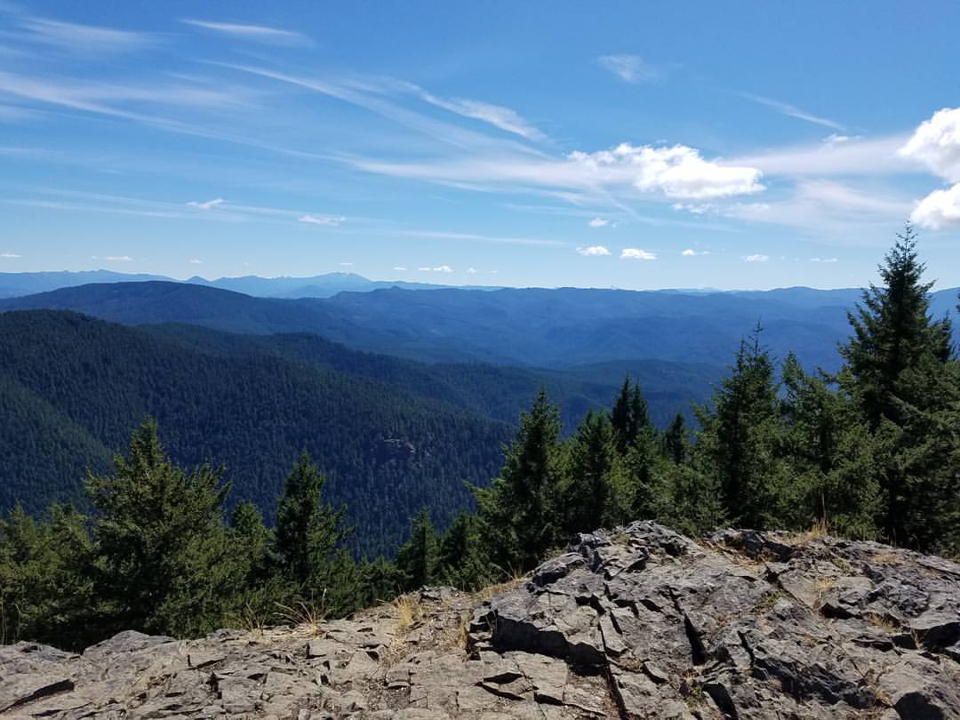
View from the summit of Mt June #oregonexplored #pnw #pnwonderland

View from the summit of Mt. June #oregonexplored #pnw #pnwonderland

Lunch stop view of Dorena

taking in the view on a misty day
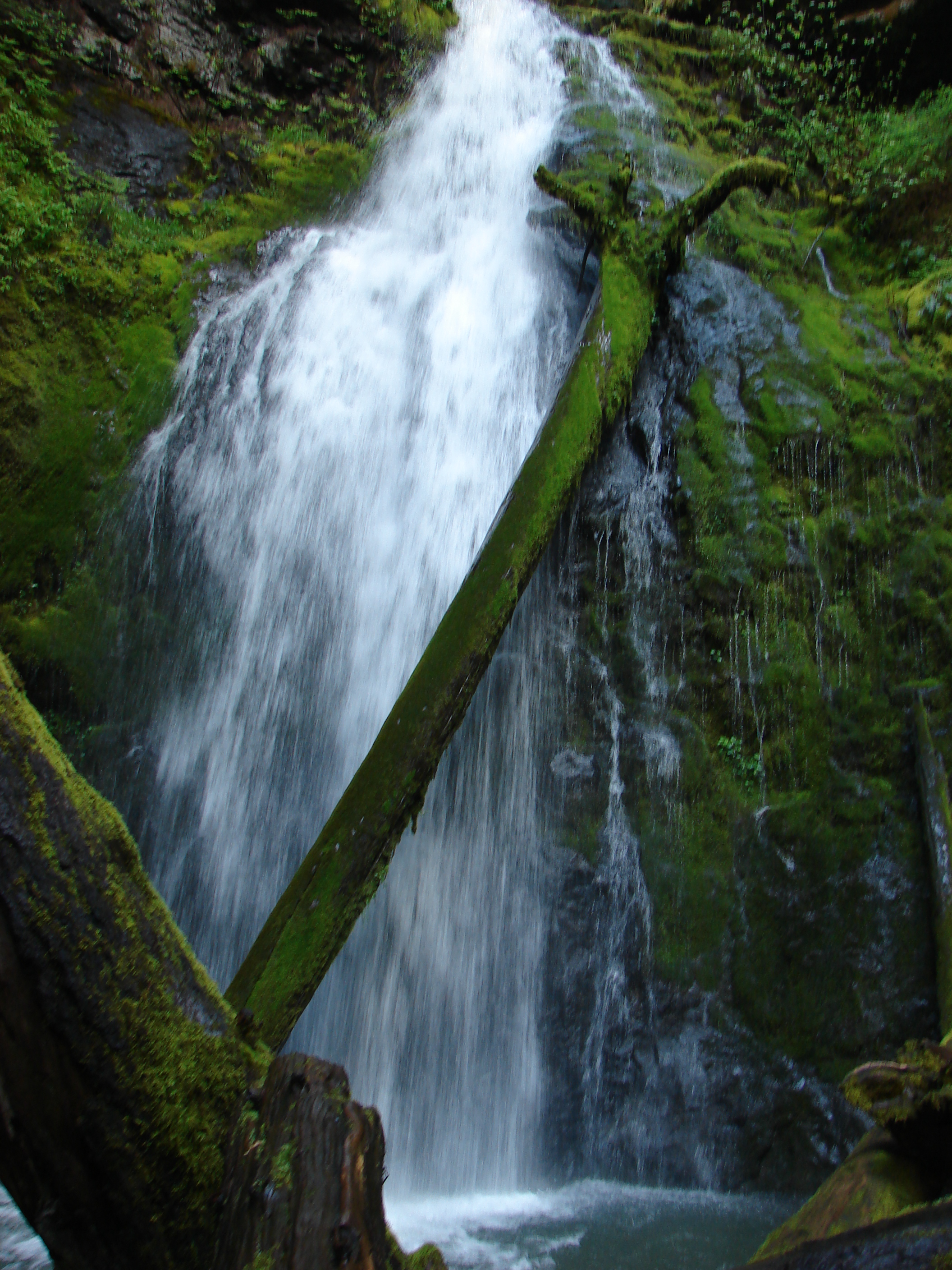
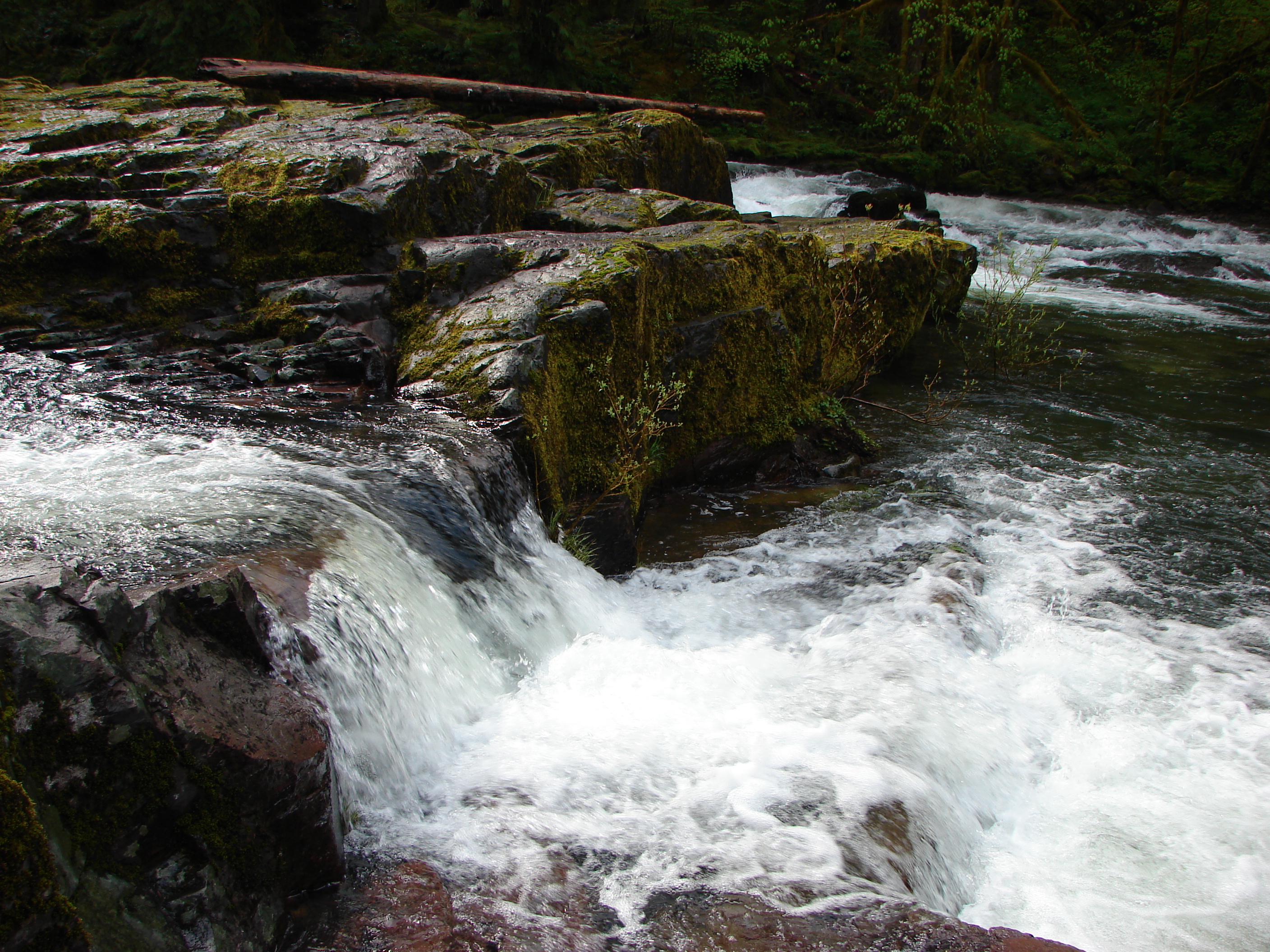
Lower Trestle Creek Falls

Upper Trestle Creek Falls
Trestle Creek

Autumn's gentle Passing. Spirit Falls, Or. 11-02-11
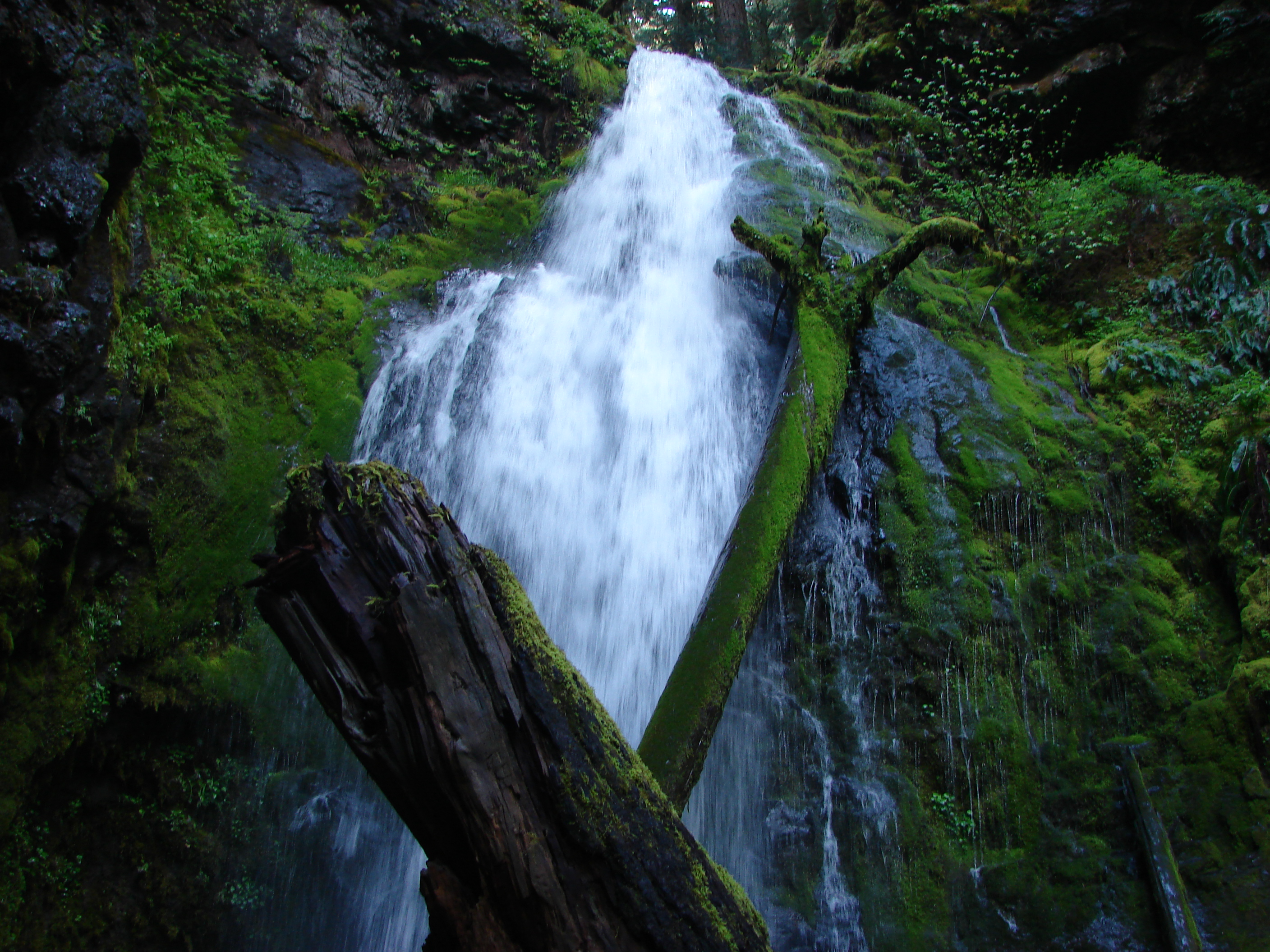
Lower Trestle Creek Falls
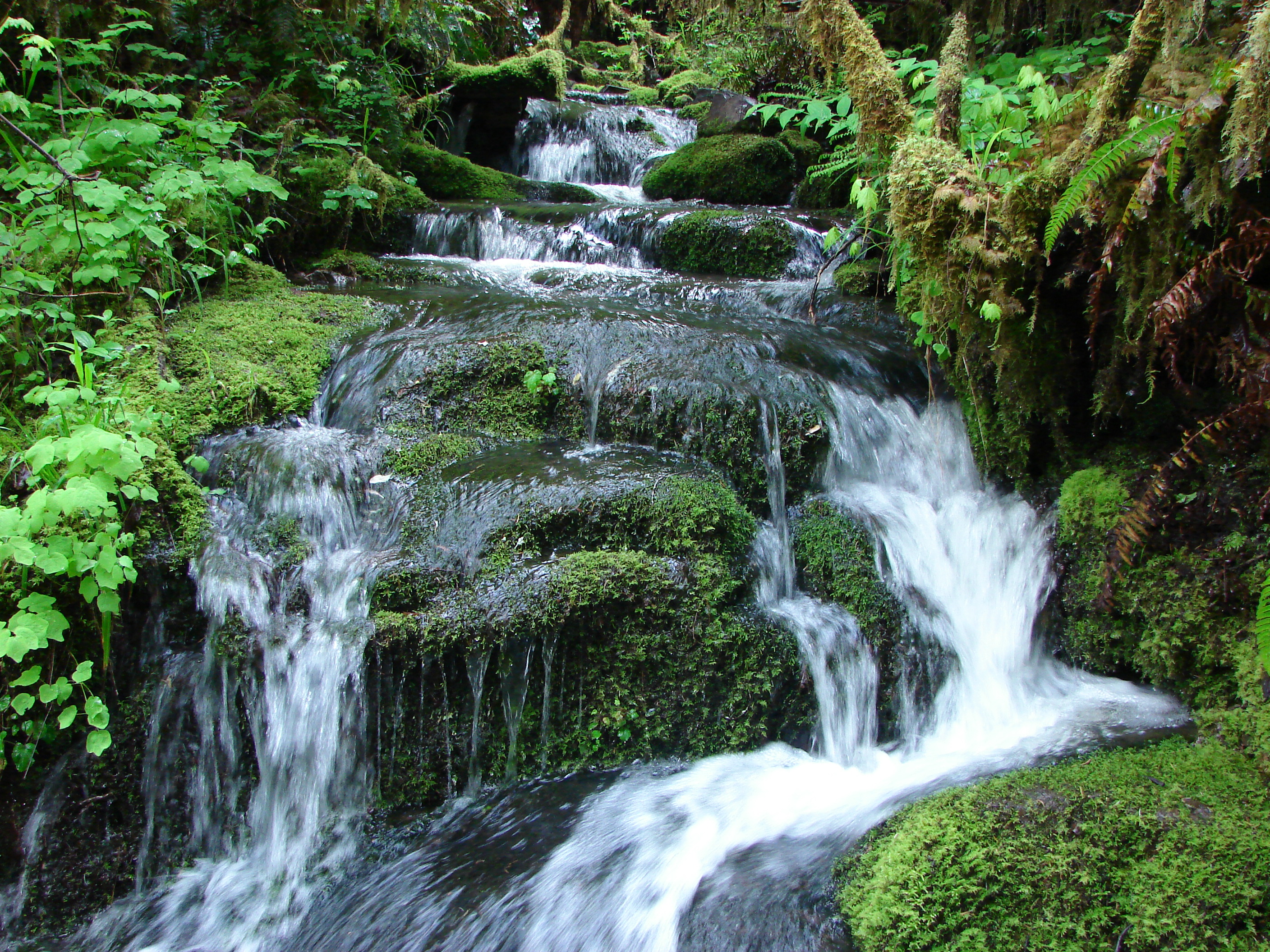
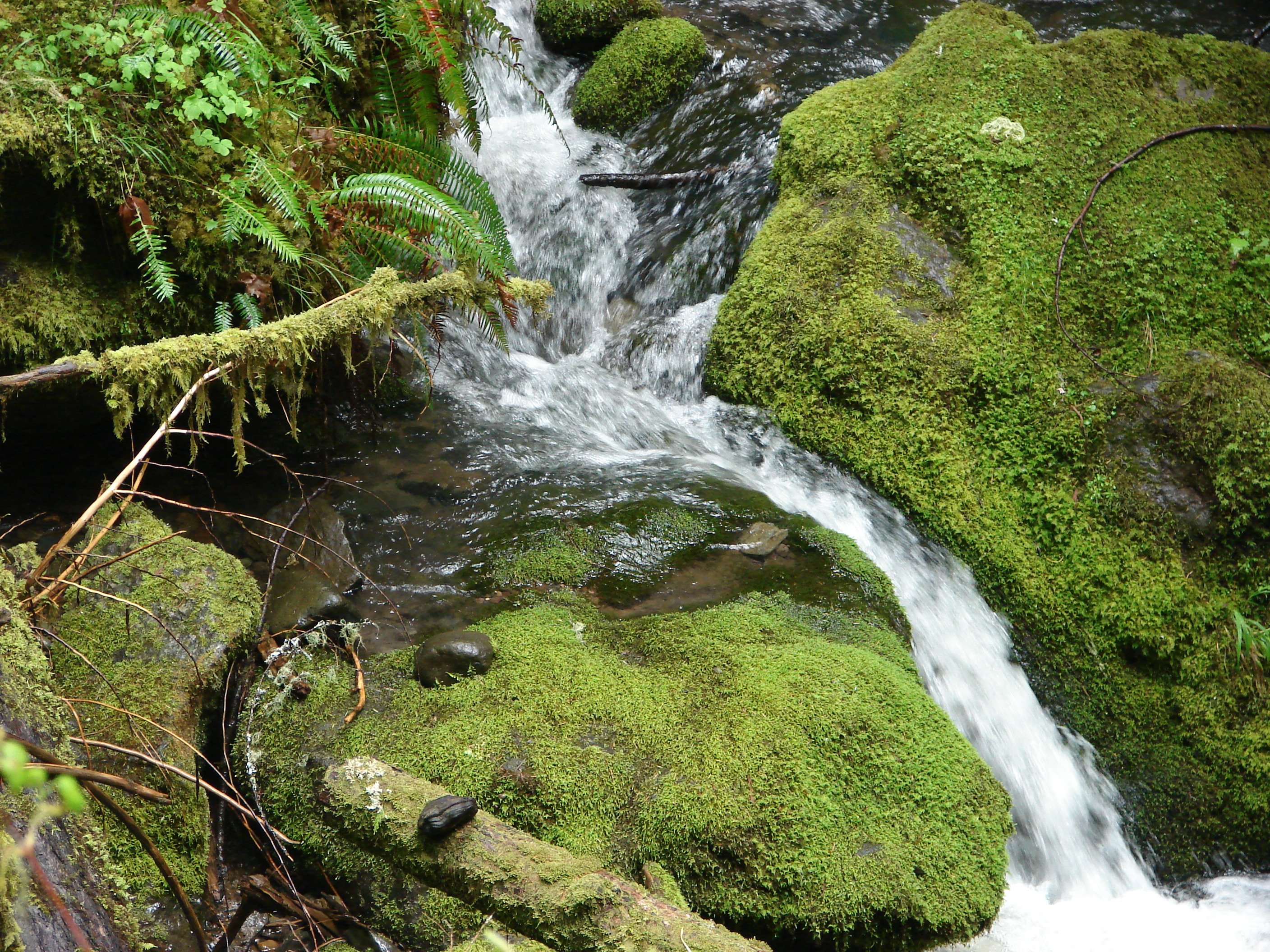
Unnamed creek along the Brice Creek Trail
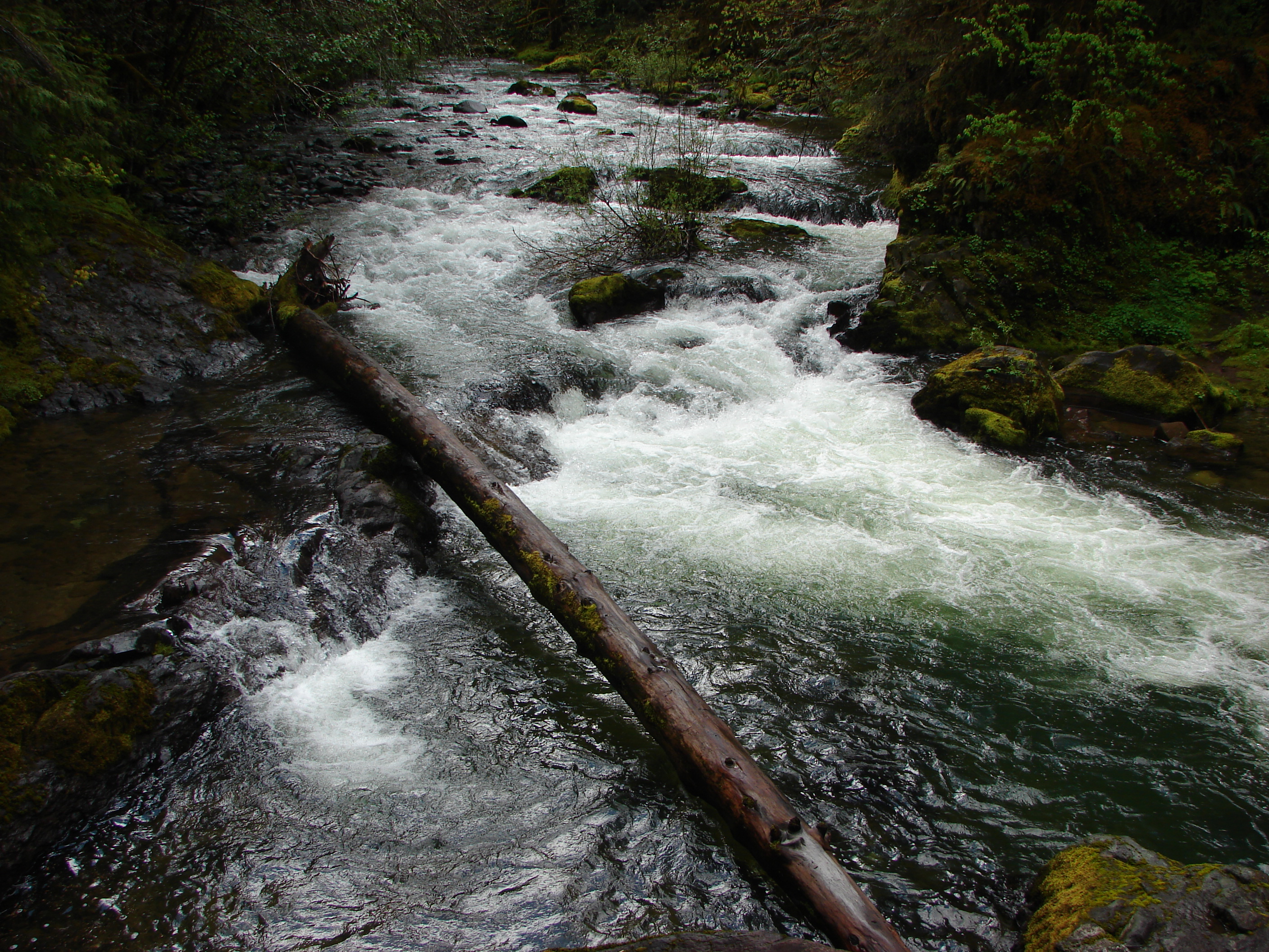
Brice Creek

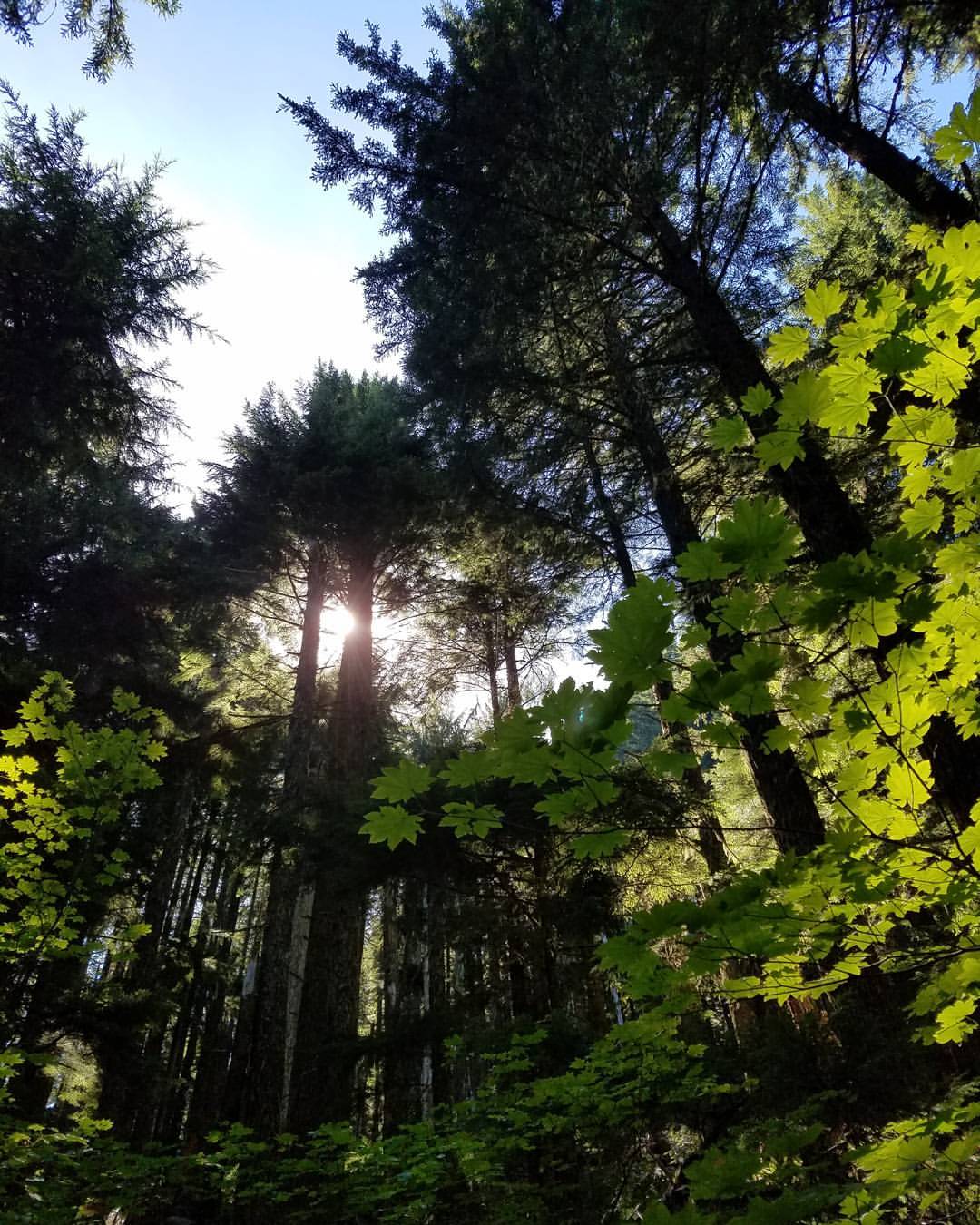
Forest along the Brice Creek Trail

Upper Trestle Creek Falls

Brice Creek
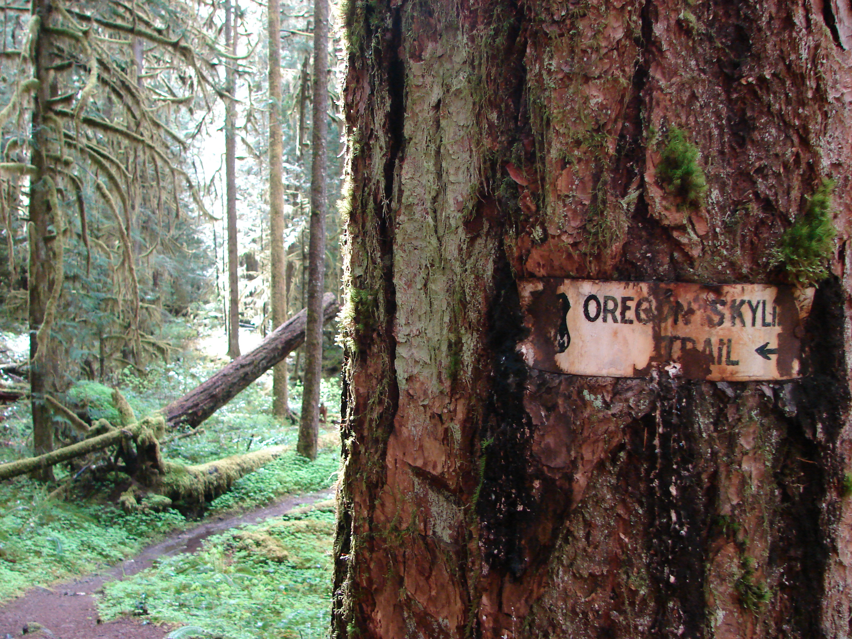
Old trail sign along the Brice Creek Trail
Brice Creek
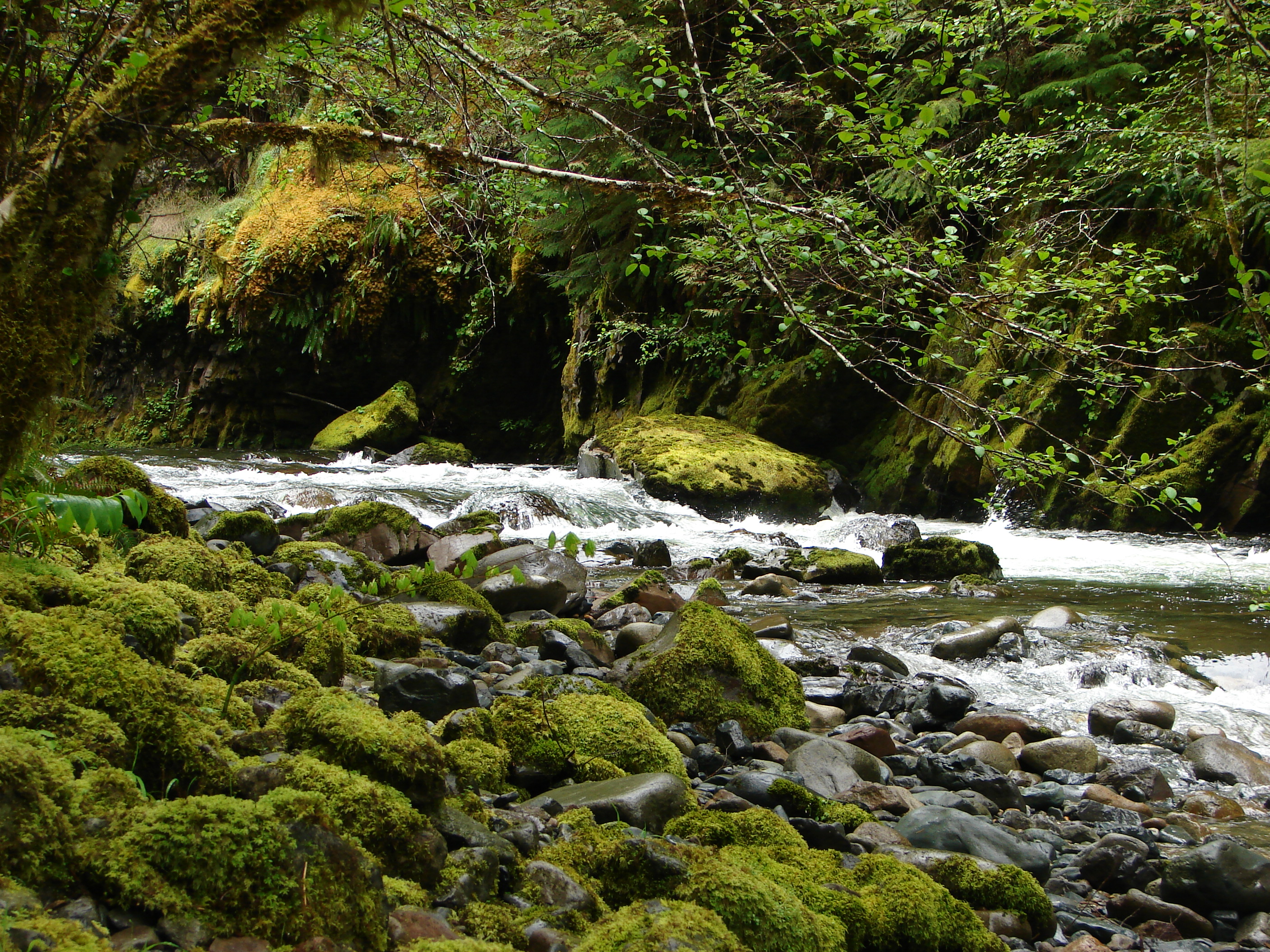
Brice Creek
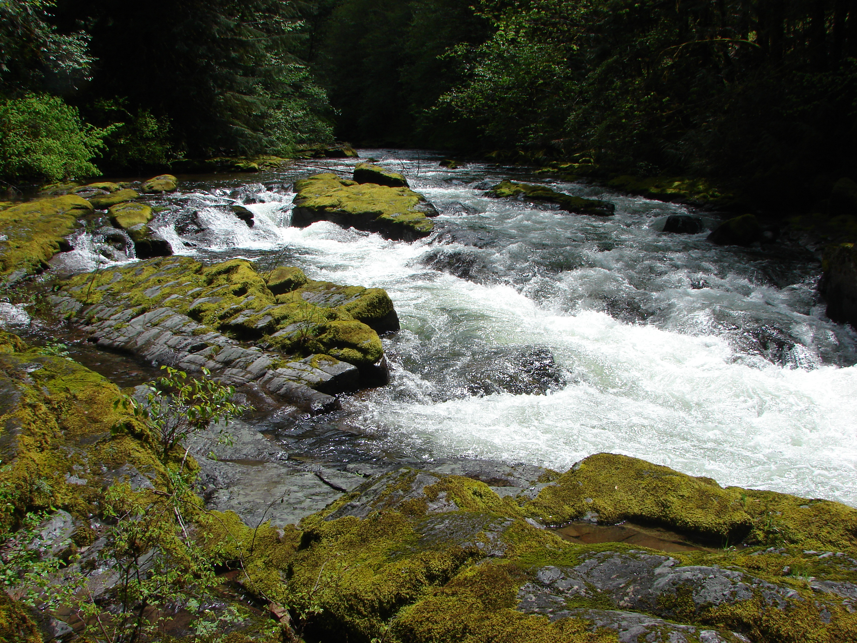
Brice Creek
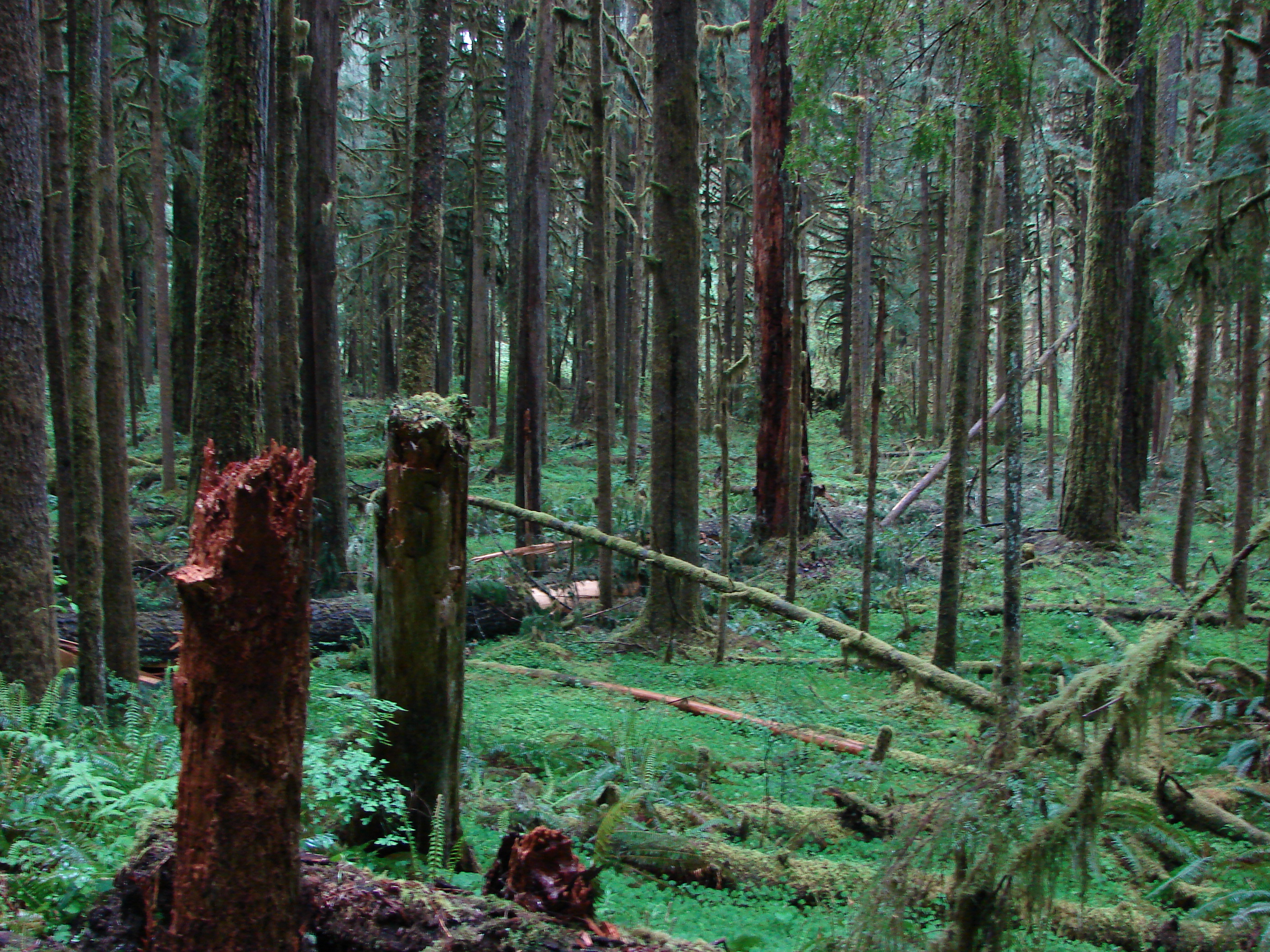
Forest along the Brice Creek Trail

Upper Trestle Creek Falls

Unnamed creek along the Brice Creek Trail

Upper Trestle Creek Falls
Brice Creek
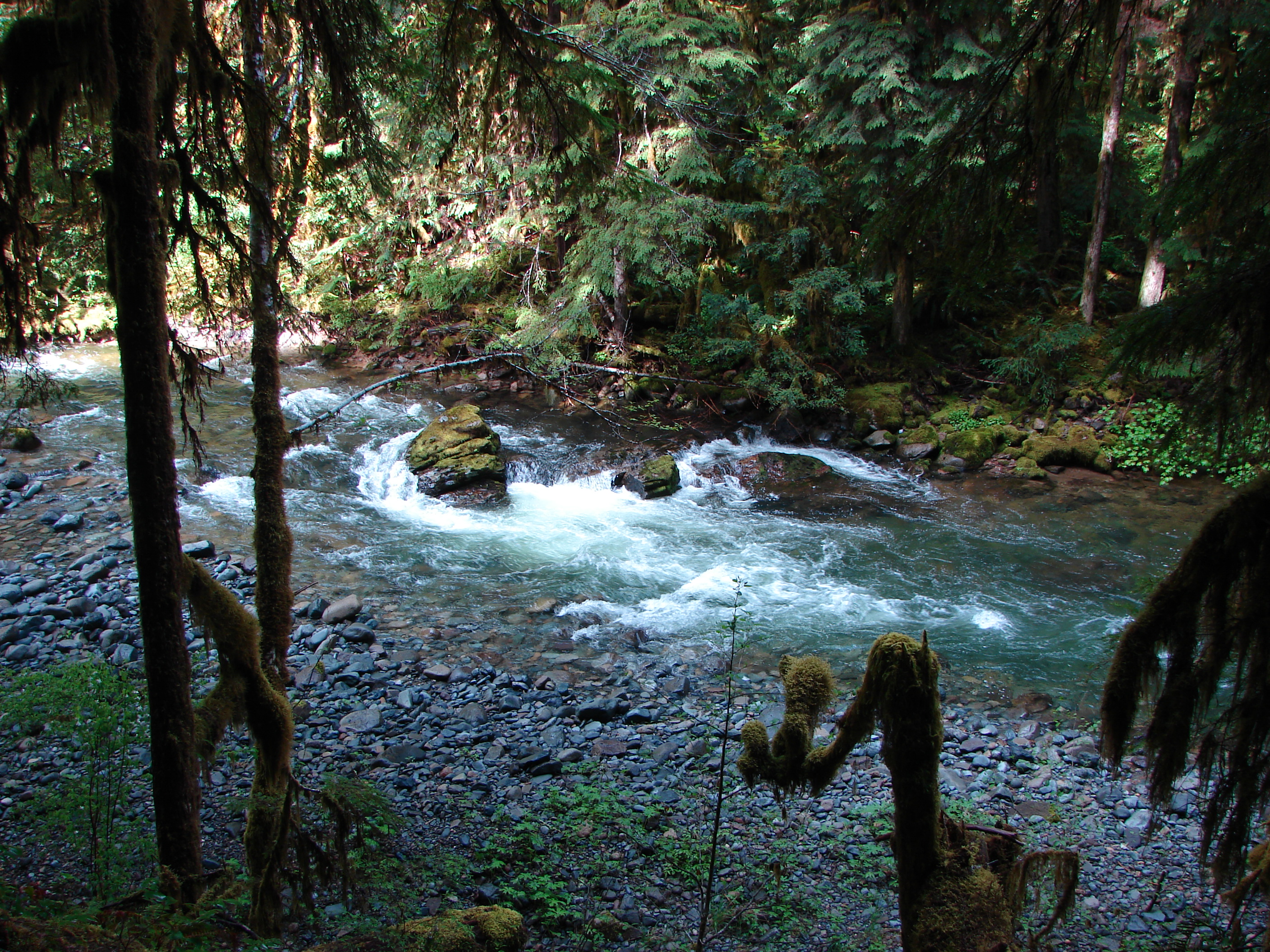
Brice Creek

Brice Creek
Topographic Map of Dorena, OR, USA
Find elevation by address:

Places in Dorena, OR, USA:
Places near Dorena, OR, USA:
37059 Row River Rd
38081 Row River Rd
Wildwood
40259 Brice Creek Rd
34747 Sunflower Ct
39286 Old Giustina Mill Rd
Mosby Creek Rd, Cottage Grove, OR, USA
78262 Cedar Park Rd
81997 Lost Creek Rd
82241 Bear Mountain Rd
Dexter
1101 E Polk Ave
Cottage Grove
Lowell
201 Grant Ave
80502 Delight Valley School Rd
Saginaw
412 Adams Ave
337 S 2nd St
33838 E River Dr
Recent Searches:
- Elevation map of Greenland, Greenland
- Elevation of Sullivan Hill, New York, New York, 10002, USA
- Elevation of Morehead Road, Withrow Downs, Charlotte, Mecklenburg County, North Carolina, 28262, USA
- Elevation of 2800, Morehead Road, Withrow Downs, Charlotte, Mecklenburg County, North Carolina, 28262, USA
- Elevation of Yangbi Yi Autonomous County, Yunnan, China
- Elevation of Pingpo, Yangbi Yi Autonomous County, Yunnan, China
- Elevation of Mount Malong, Pingpo, Yangbi Yi Autonomous County, Yunnan, China
- Elevation map of Yongping County, Yunnan, China
- Elevation of North 8th Street, Palatka, Putnam County, Florida, 32177, USA
- Elevation of 107, Big Apple Road, East Palatka, Putnam County, Florida, 32131, USA
- Elevation of Jiezi, Chongzhou City, Sichuan, China
- Elevation of Chongzhou City, Sichuan, China
- Elevation of Huaiyuan, Chongzhou City, Sichuan, China
- Elevation of Qingxia, Chengdu, Sichuan, China
- Elevation of Corso Fratelli Cairoli, 35, Macerata MC, Italy
- Elevation of Tallevast Rd, Sarasota, FL, USA
- Elevation of 4th St E, Sonoma, CA, USA
- Elevation of Black Hollow Rd, Pennsdale, PA, USA
- Elevation of Oakland Ave, Williamsport, PA, USA
- Elevation of Pedrógão Grande, Portugal