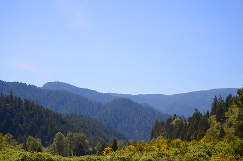
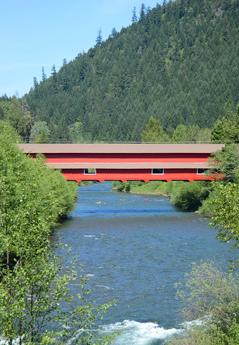
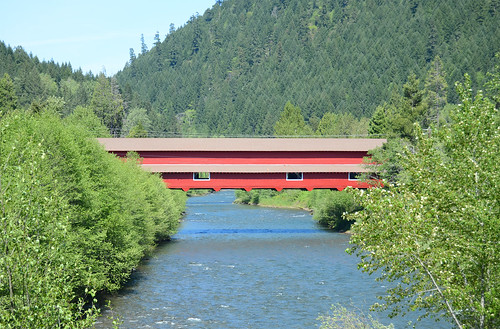
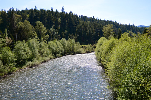
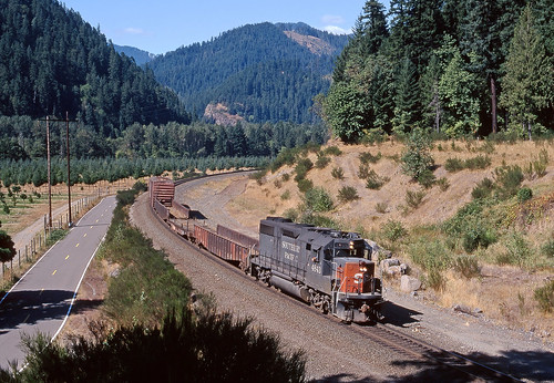
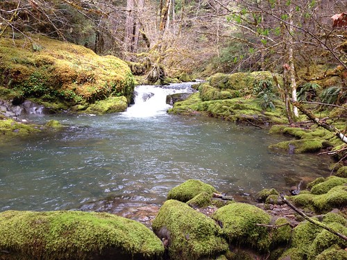
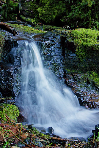
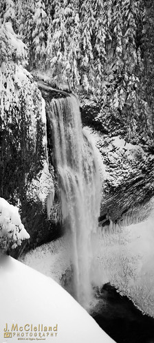
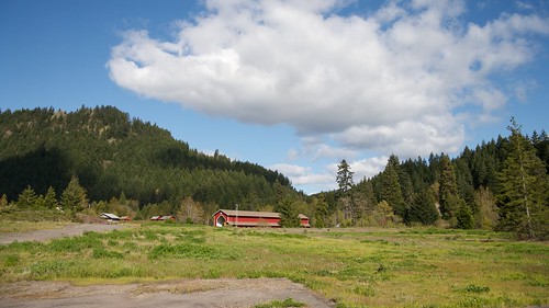
Elevation of Commercial St, Oakridge, OR, USA
Location: United States > Oregon > Lane County > Oakridge >
Longitude: -122.459672
Latitude: 43.7471249
Elevation: 373m / 1224feet
Barometric Pressure: 0KPa
Related Photos:
Topographic Map of Commercial St, Oakridge, OR, USA
Find elevation by address:

Places near Commercial St, Oakridge, OR, USA:
Oakridge
47706 W 2nd St
77406 High Prairie Rd
47386 Or-58
Westfir
49292 Mountain View Rd
Fall Creek Trailhead #1
Lane County
40259 Brice Creek Rd
39286 Old Giustina Mill Rd
49514 Mckenzie Hwy
Lowell
Wildwood
38081 Row River Rd
81997 Lost Creek Rd
Dexter
Dorena
45896 Mckenzie Hwy
90087 Greenwood Dr
McKenzie Hwy, Vida, OR, USA
Recent Searches:
- Elevation map of Litang County, Sichuan, China
- Elevation map of Madoi County, Qinghai, China
- Elevation of 3314, Ohio State Route 114, Payne, Paulding County, Ohio, 45880, USA
- Elevation of Sarahills Drive, Saratoga, Santa Clara County, California, 95070, USA
- Elevation of Town of Bombay, Franklin County, New York, USA
- Elevation of 9, Convent Lane, Center Moriches, Suffolk County, New York, 11934, USA
- Elevation of Saint Angelas Convent, 9, Convent Lane, Center Moriches, Suffolk County, New York, 11934, USA
- Elevation of 131st Street Southwest, Mukilteo, Snohomish County, Washington, 98275, USA
- Elevation of 304, Harrison Road, Naples, Cumberland County, Maine, 04055, USA
- Elevation of 2362, Timber Ridge Road, Harrisburg, Cabarrus County, North Carolina, 28075, USA
- Elevation of Ridge Road, Marshalltown, Marshall County, Iowa, 50158, USA
- Elevation of 2459, Misty Shadows Drive, Pigeon Forge, Sevier County, Tennessee, 37862, USA
- Elevation of 8043, Brightwater Way, Spring Hill, Williamson County, Tennessee, 37179, USA
- Elevation of Starkweather Road, San Luis, Costilla County, Colorado, 81152, USA
- Elevation of 5277, Woodside Drive, Baton Rouge, East Baton Rouge Parish, Louisiana, 70808, USA
- Elevation of 1139, Curtin Street, Shepherd Park Plaza, Houston, Harris County, Texas, 77018, USA
- Elevation of 136, Sellers Lane, Repton, Monroe County, Alabama, 36475, USA
- Elevation of 12914, Elmington Drive, Lakewood Forest, Houston, Harris County, Texas, 77429, USA
- Elevation of 417, Camelot Drive, Statesville, Iredell County, North Carolina, 28625, USA
- Elevation of 5792, Wildridge Road, Avon, Eagle County, Colorado, 81620, USA


