Elevation of Wildwood View Dr, Yucaipa, CA, USA
Location: United States > California > San Bernardino County > Yucaipa >
Longitude: -116.99323
Latitude: 34.0102655
Elevation: 986m / 3235feet
Barometric Pressure: 90KPa
Elevation Map:
Satellite Map:
Related Photos:
Cresting the Hill

Sunset Valley I

View from Buff Rd LE

Spring Valley

Only the Best

.

Day 347/365: I know I'm going where the sun always shines (explored #328 on June 8, 2009)

Big Falls Stream - Forest Falls, CA, USA
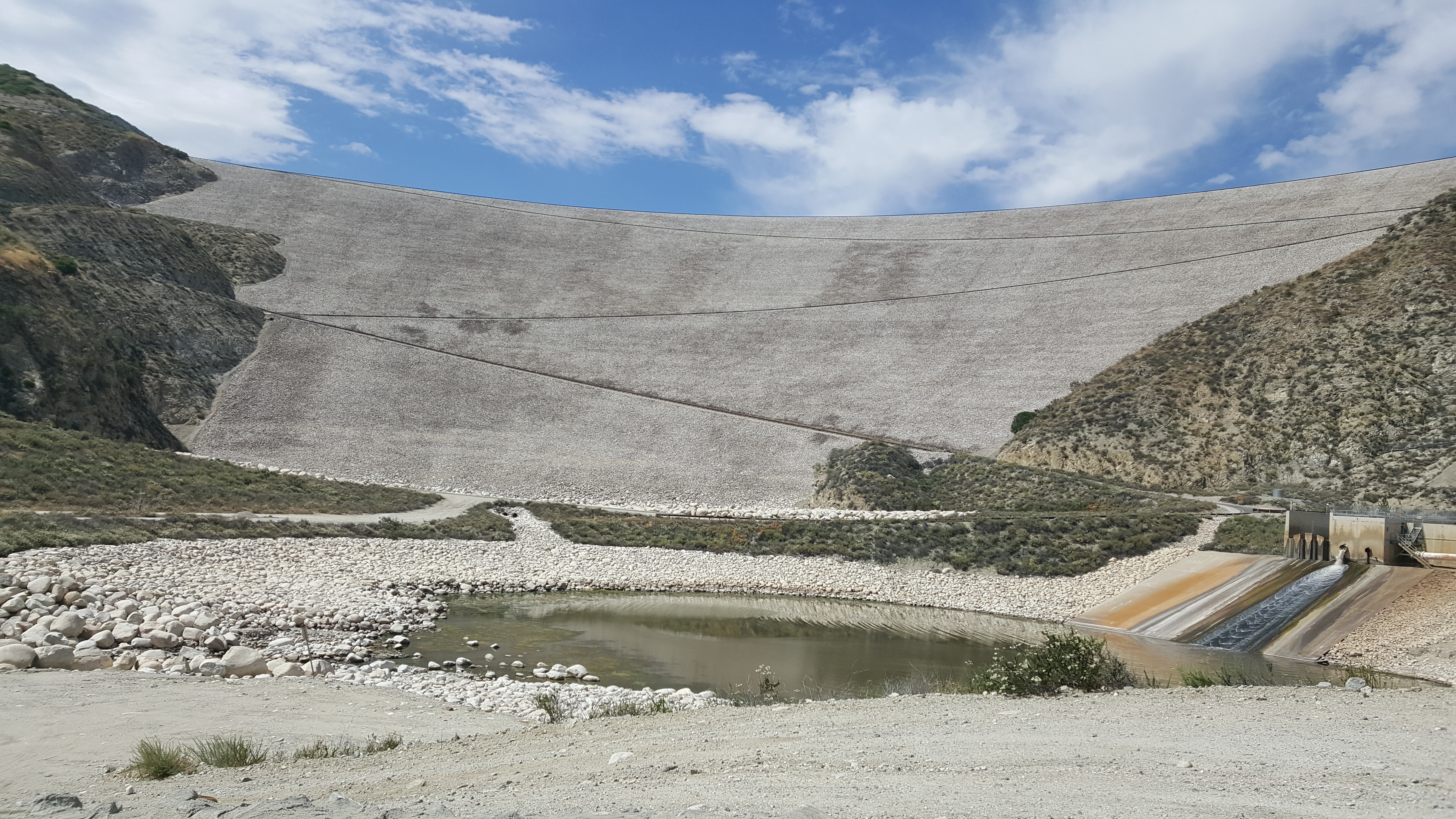
Seven Oaks Dam

Not Too Shabby

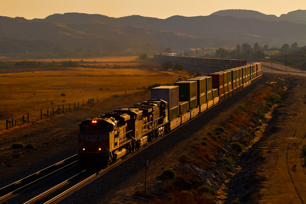
ATK 714E @ El Casco

Lake Perris, Surrounded by Hills and Mountains

Back From the Desert

Valley View II

1 of (7) LOWER Falls- Valley of Falls, Mill Creek Canyon, San Bernadino Mountains

Valley View

Fire/No Fire

Shooting Spot in the Hills

Oak Glen Harvest Time 11-10-12

The Storms of Late Summer

Winter Pond, Oak Glen, CA 1-19-13
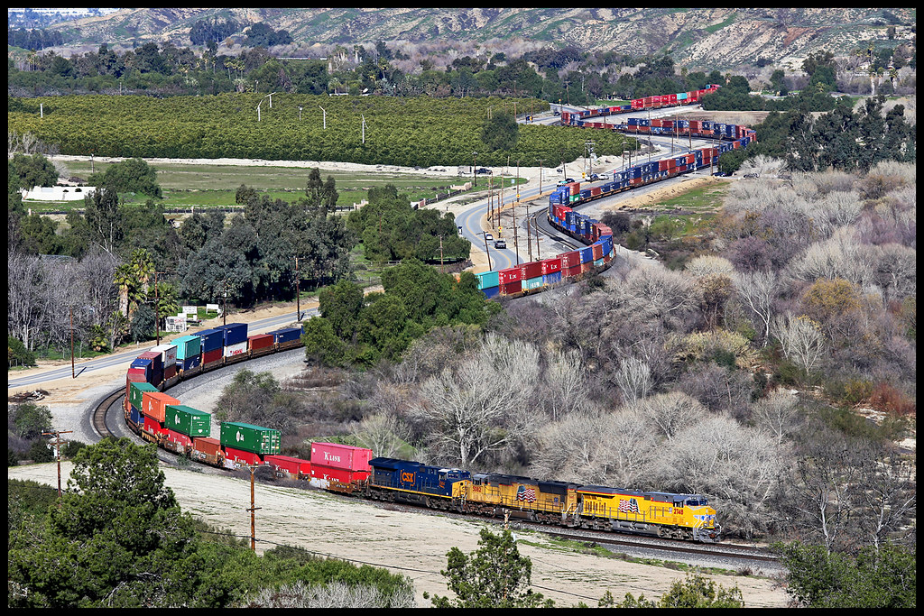
UP 2748

Mill Creek Canyon

Lush Hills

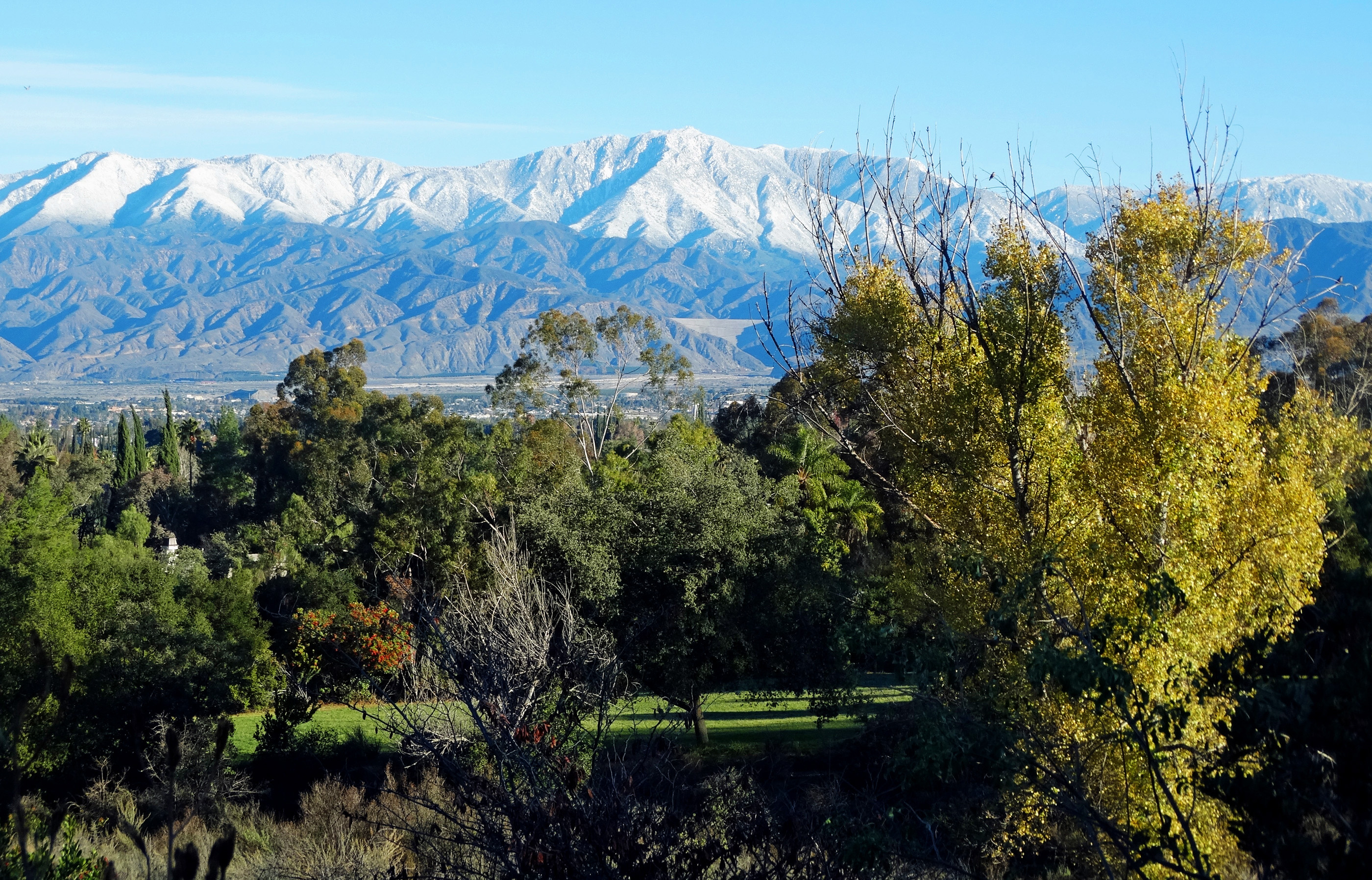
San Gabriel Mountains over Inland Empire, CA 2016 (In EXPLORE)

Mill Creek Canyon

Jack Rabbit Trail Road

Spring Valley Gorge

UP 7492

New Season

Mill Creek and Storm III

Spring Trail
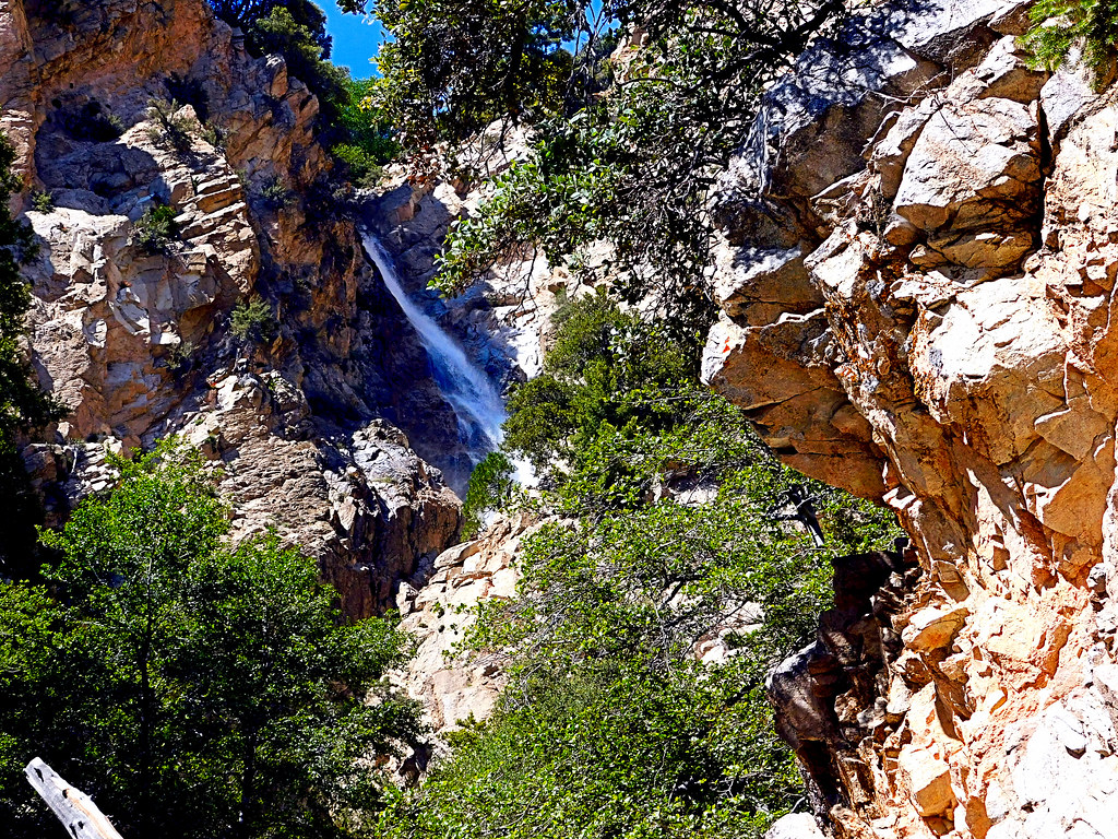
Upper Forest Falls

Mill Creek Storm Sunset

Apple Orchard Autumn, Oak Glen, CA 2019

Mill Creek Canyon

Palms, Oranges and San Gabriel Mountains, CA Christmas 2016
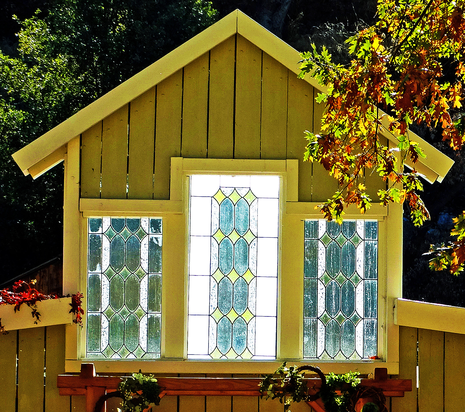
Stained Glass Autumn, Oak Glen, CA 10-21
San Bernardino Mountains, Christmas 2016
Topographic Map of Wildwood View Dr, Yucaipa, CA, USA
Find elevation by address:

Places near Wildwood View Dr, Yucaipa, CA, USA:
37258 Wildwood View Dr
Oak View Road
13644 Oak Mountain Dr
13687 Pine View Dr
13739 Meadow View Ln
13776 Meadow View Ln
38530 Shadow Valley Ln
36539 Cherrywood Dr
36503 Cherrywood Dr
13418 Canyon Crest Rd
36251 Poplar Dr
36210 Ginger Tree Trail
12959 Pinewood Ln
36182 Serape Dr
13535 Pamela Ct
13421 Village Rd
36106 Leah Ln
9055 Bonita Dr
563 E County Line Rd
35943 Rebecca Rd
Recent Searches:
- Elevation of Groblershoop, South Africa
- Elevation of Power Generation Enterprises | Industrial Diesel Generators, Oak Ave, Canyon Country, CA, USA
- Elevation of Chesaw Rd, Oroville, WA, USA
- Elevation of N, Mt Pleasant, UT, USA
- Elevation of 6 Rue Jules Ferry, Beausoleil, France
- Elevation of Sattva Horizon, 4JC6+G9P, Vinayak Nagar, Kattigenahalli, Bengaluru, Karnataka, India
- Elevation of Great Brook Sports, Gold Star Hwy, Groton, CT, USA
- Elevation of 10 Mountain Laurels Dr, Nashua, NH, USA
- Elevation of 16 Gilboa Ln, Nashua, NH, USA
- Elevation of Laurel Rd, Townsend, TN, USA