Elevation of Meadow View Ln, Yucaipa, CA, USA
Location: United States > California > San Bernardino County > Yucaipa >
Longitude: -116.98678
Latitude: 34.0022582
Elevation: 1016m / 3333feet
Barometric Pressure: 90KPa
Elevation Map:
Satellite Map:
Related Photos:

Sunset Valley I

View from Buff Rd LE

ATK 714E @ El Casco

Big Falls Creek Long Exposure

Shooting Spot in the Hills

sunny rear view

Back From the Desert

Not Too Shabby

Original to these lands.

Live Oak Farms, Wagon 12-9-12

Mountains from Panorama Point 11-18-12

Swim Lane
Katy through San Timoteo

The calm after the storm.
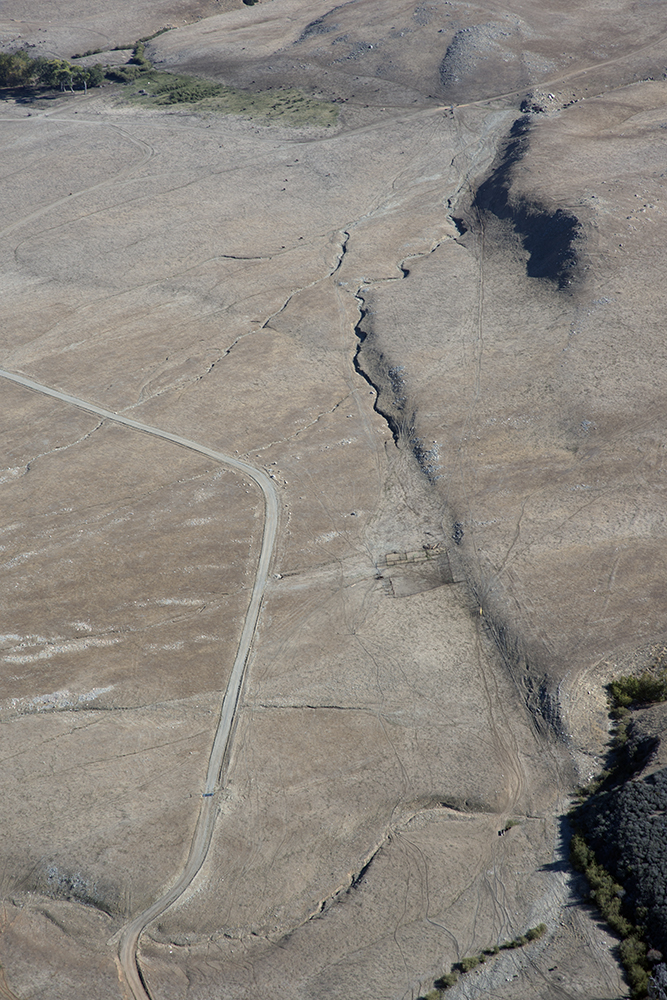
Aerial view of the San Andreas Fault, Burro Flats, Riverside County, California
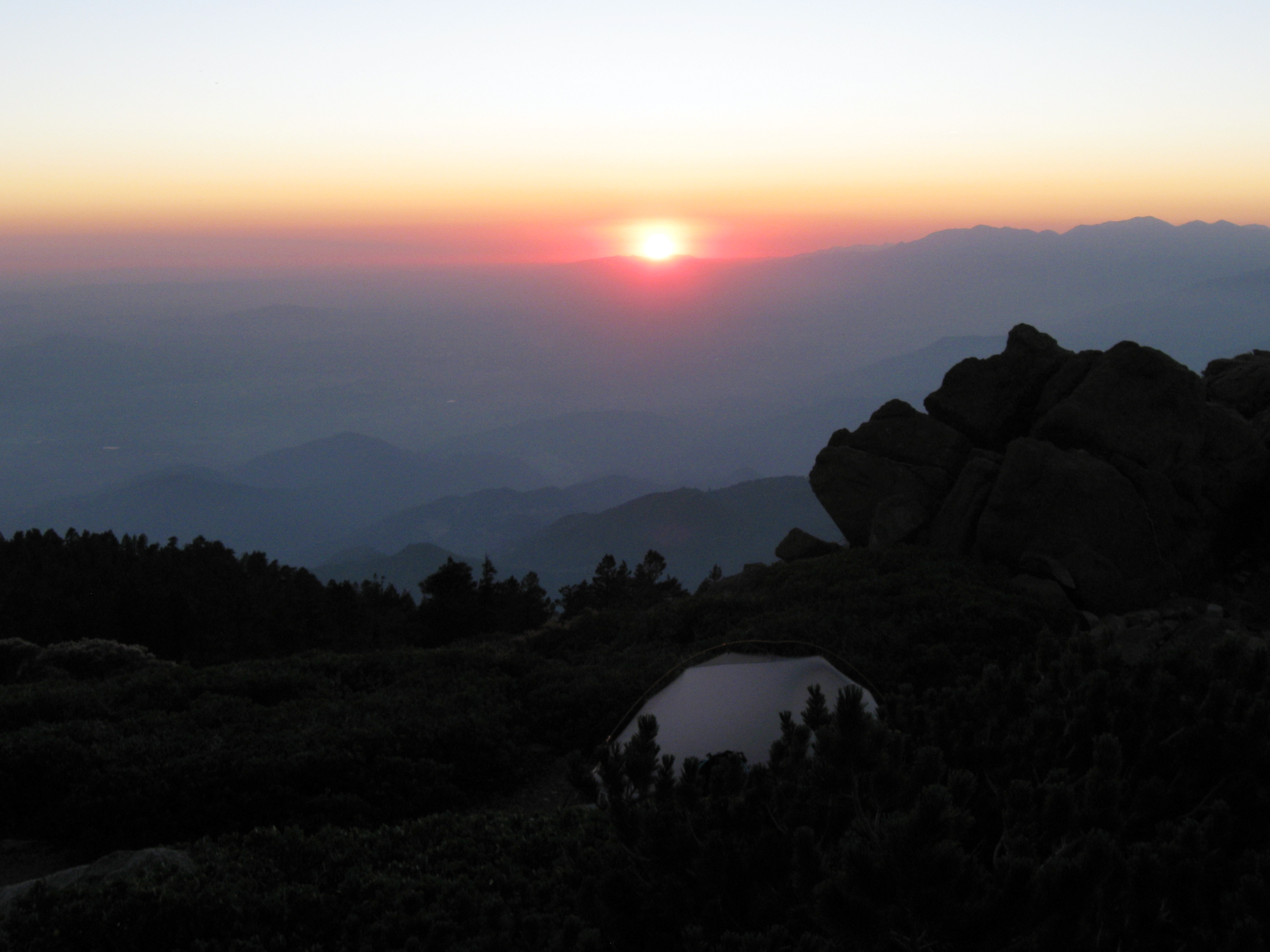
Sunset from Limber Pine Bench
Valley View II
Sun on Oak Leaves, Oak Glen, CA 11-8-14

Bogart Park_0068
.

the view from here [7:52]

Snow Creek

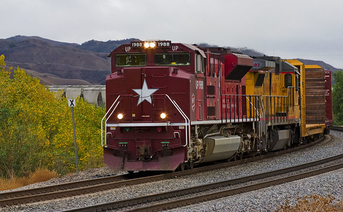
UP 7492

Snaking Up Beaumont

Yucaipa/Mentone Fire

Spring Valley

Mill Creek - Mentone, CA, USA

Sunset Valley II

Yucaipa California

Valley View
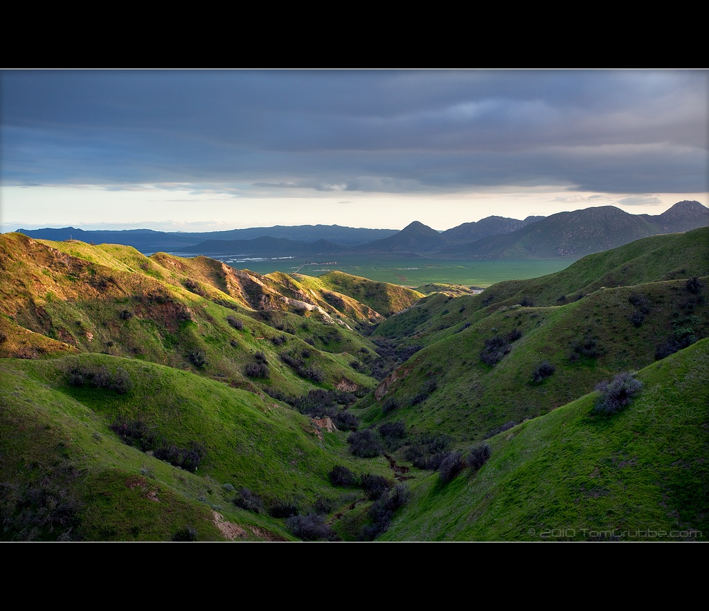
Lush Hills

Palm Springs - 2017
Garnet St. Bridge - Mentone, CA, USA

Good Intentions
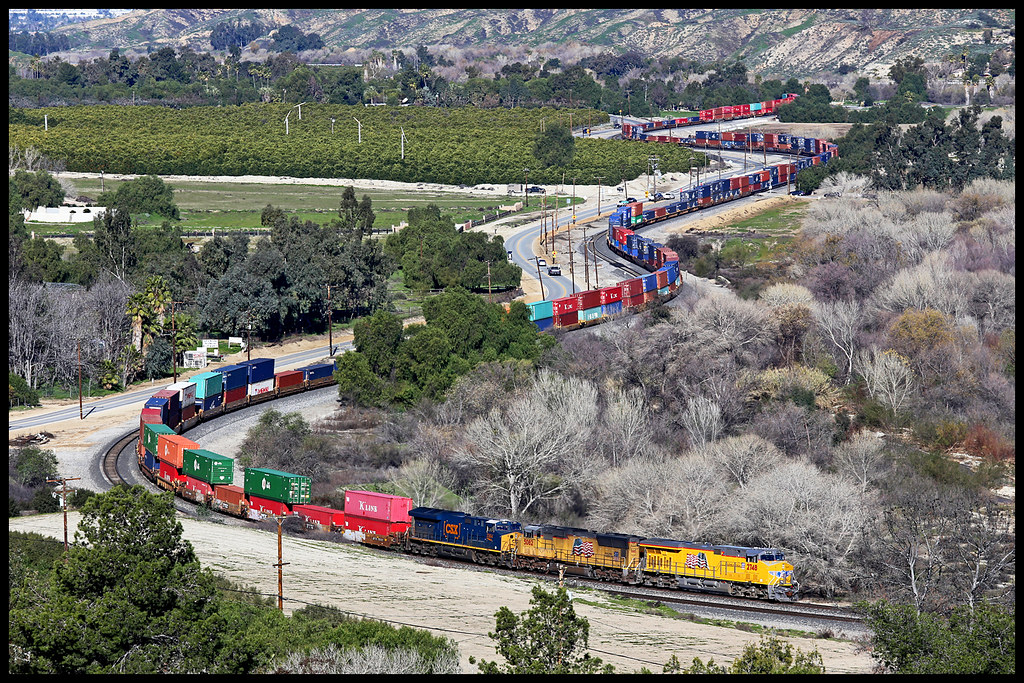
UP 2748

Twilight Rocks and Stream

Lonely Tree

Mill Creek Canyon

Mill Creek Storm Sunset
Topographic Map of Meadow View Ln, Yucaipa, CA, USA
Find elevation by address:

Places near Meadow View Ln, Yucaipa, CA, USA:
13739 Meadow View Ln
38530 Shadow Valley Ln
13687 Pine View Dr
13644 Oak Mountain Dr
37258 Wildwood View Dr
37170 Wildwood View Dr
9055 Bonita Dr
Oak View Road
38813 Cherrystone Ave
36539 Cherrywood Dr
13418 Canyon Crest Rd
36503 Cherrywood Dr
36210 Ginger Tree Trail
39740 Ave Sonrisa
36182 Serape Dr
9314 Ave Altejo Bella
13535 Pamela Ct
36251 Poplar Dr
Cherry Valley
36106 Leah Ln
Recent Searches:
- Elevation of Groblershoop, South Africa
- Elevation of Power Generation Enterprises | Industrial Diesel Generators, Oak Ave, Canyon Country, CA, USA
- Elevation of Chesaw Rd, Oroville, WA, USA
- Elevation of N, Mt Pleasant, UT, USA
- Elevation of 6 Rue Jules Ferry, Beausoleil, France
- Elevation of Sattva Horizon, 4JC6+G9P, Vinayak Nagar, Kattigenahalli, Bengaluru, Karnataka, India
- Elevation of Great Brook Sports, Gold Star Hwy, Groton, CT, USA
- Elevation of 10 Mountain Laurels Dr, Nashua, NH, USA
- Elevation of 16 Gilboa Ln, Nashua, NH, USA
- Elevation of Laurel Rd, Townsend, TN, USA