Elevation of Yucaipa, CA, USA
Location: United States > California > San Bernardino County >
Longitude: -117.04308
Latitude: 34.033625
Elevation: 799m / 2621feet
Barometric Pressure: 92KPa
Elevation Map:
Satellite Map:
Related Photos:

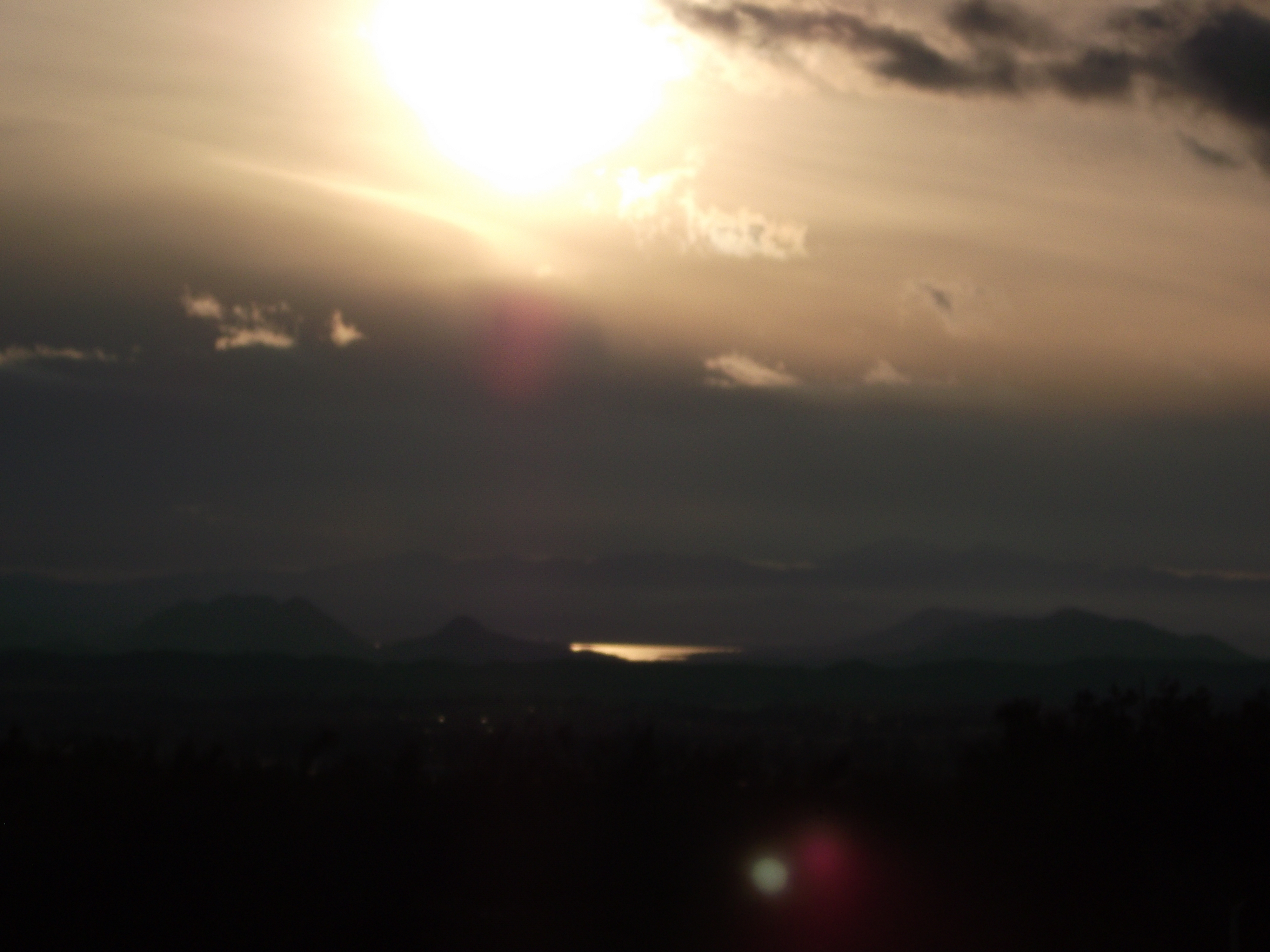
View from Buff Rd LE

"Fall has always been my favorite season

View from the patio. Good morning ya'll!!!
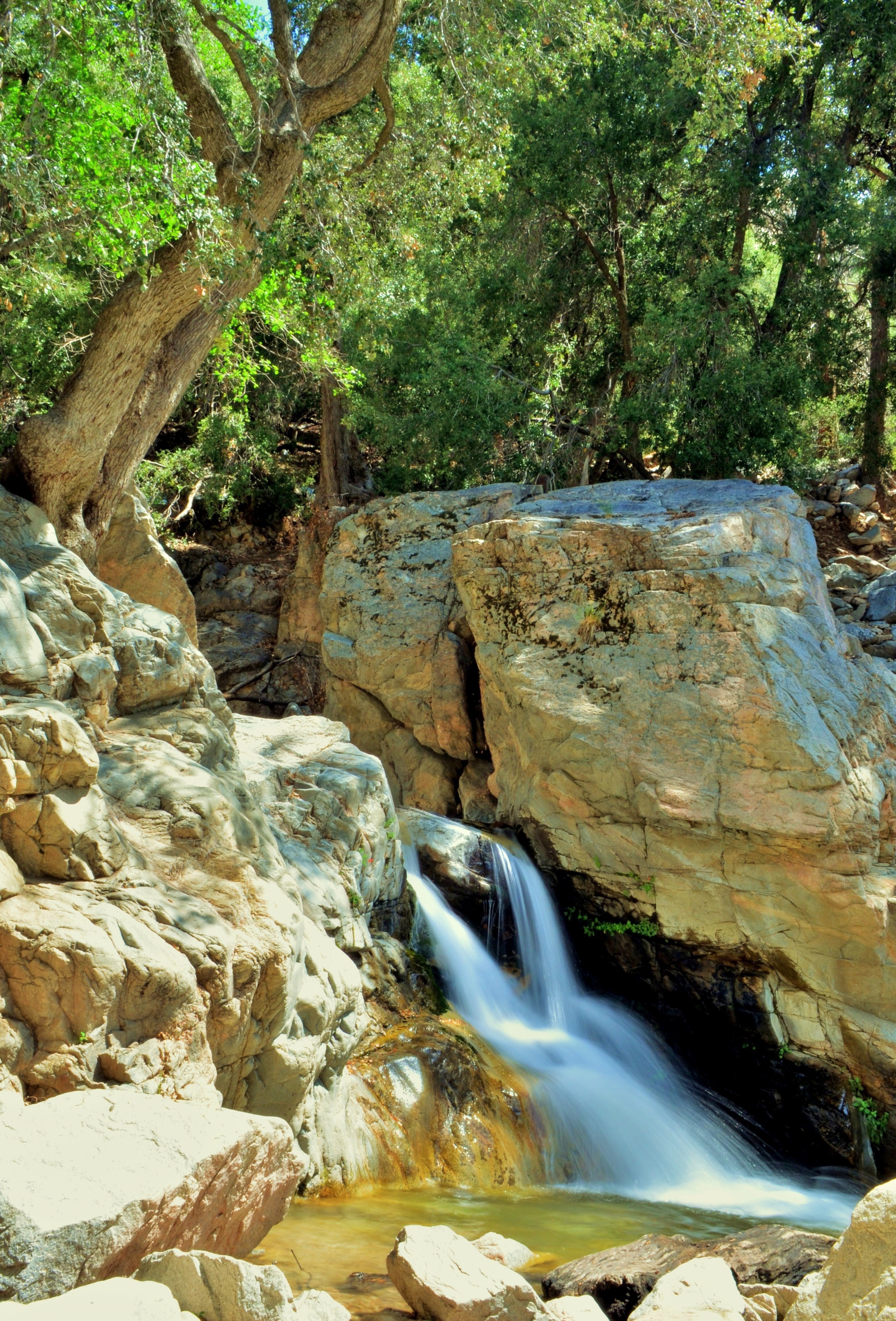
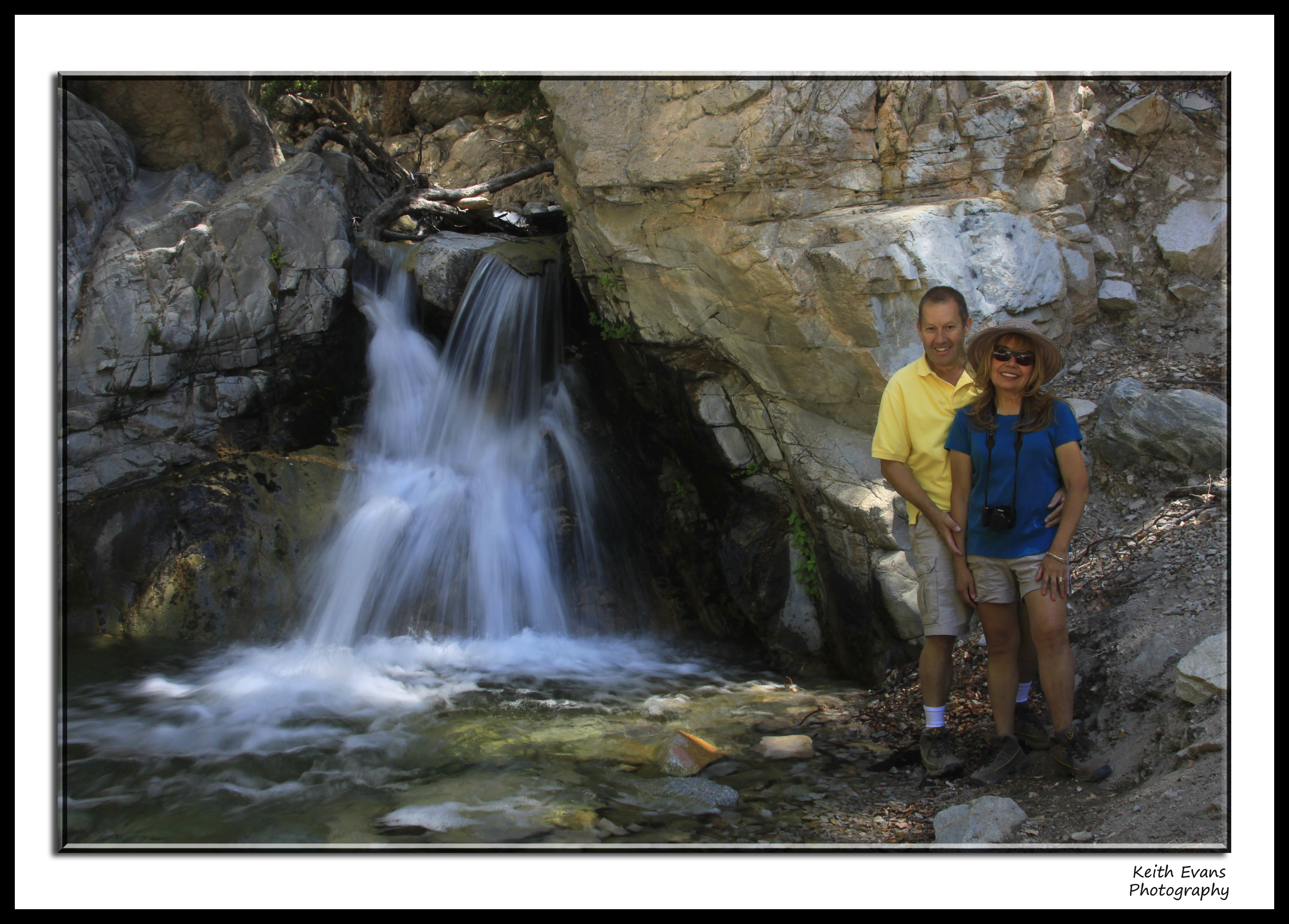
1 of (7) LOWER Falls- Valley of Falls, Mill Creek Canyon, San Bernadino Mountains

Shooting Spot in the Hills
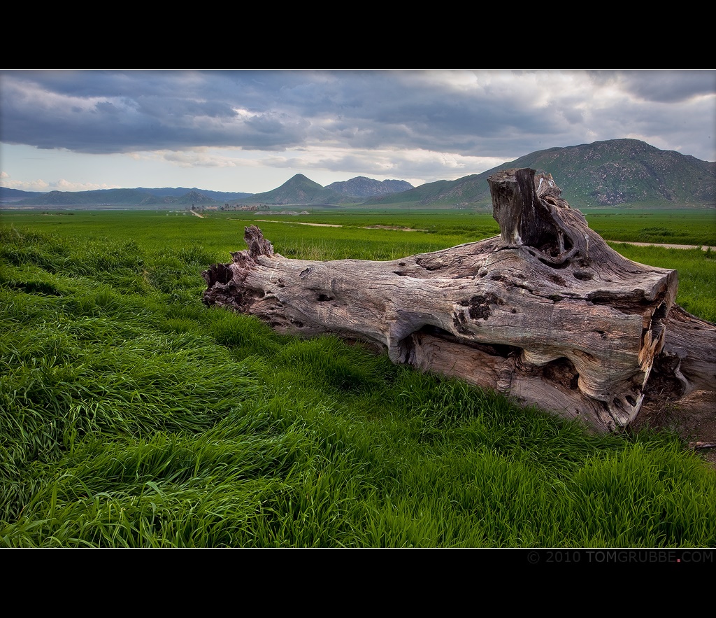
Log in the Grass

Sound of Music at the Redlands Bowl...
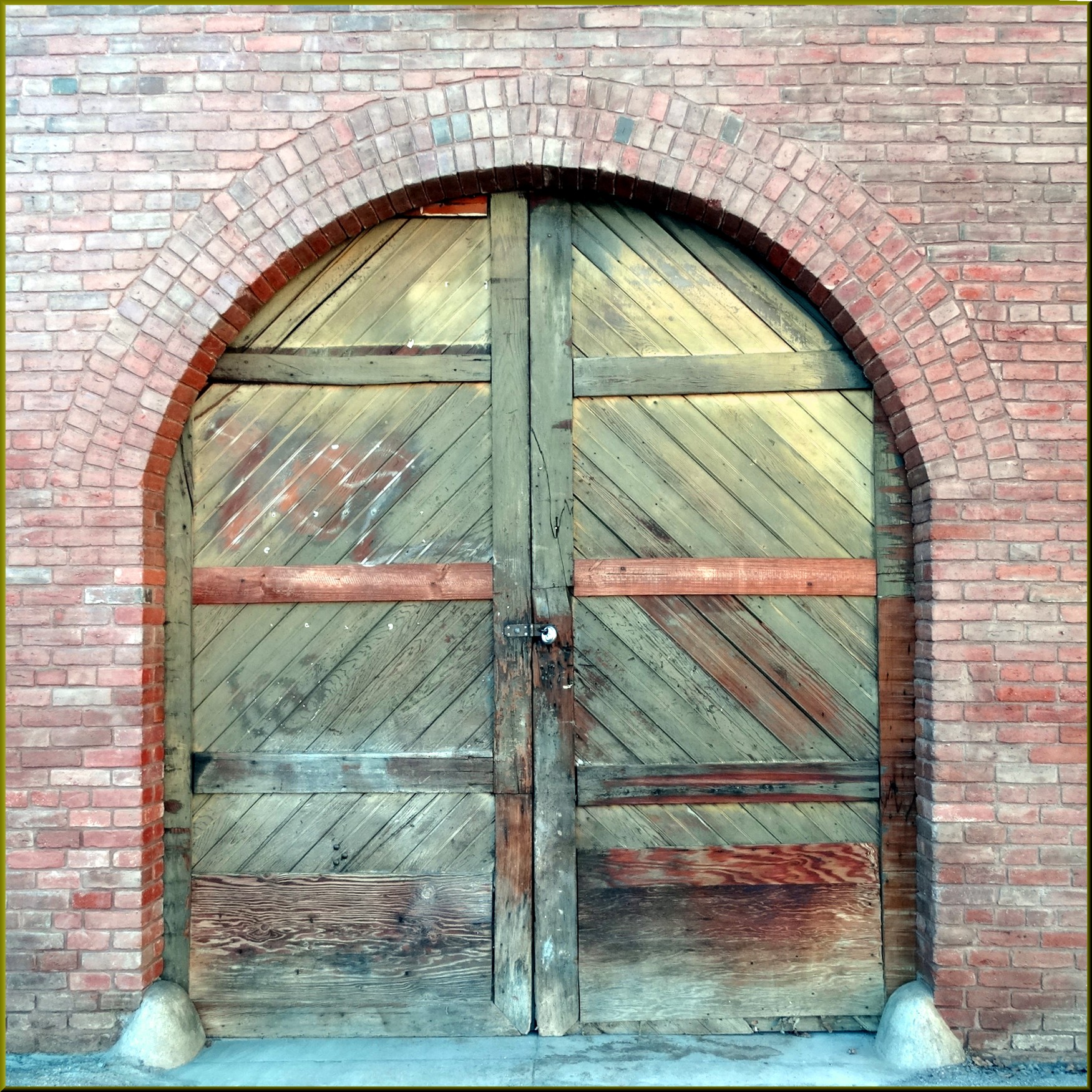
Arched Doorway, Redlands Alleys 10-27-13s

Congregational Church in Redlands, California, circa 1900

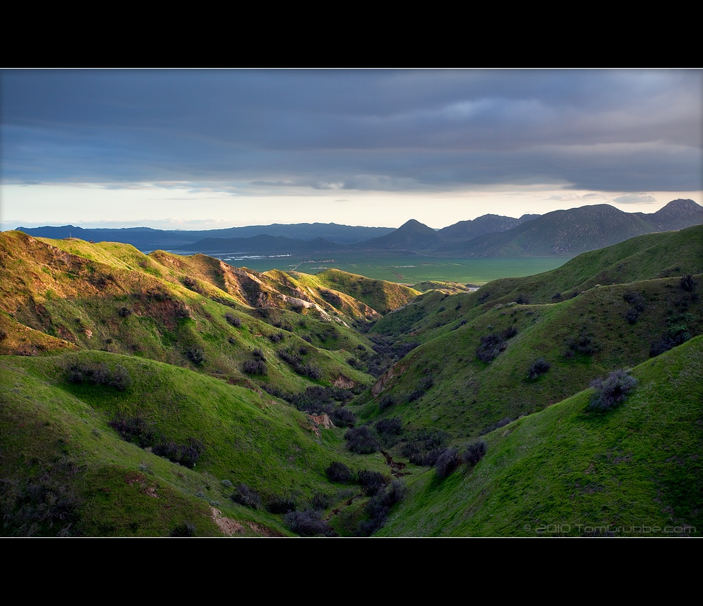
Sunset Valley I

ATK 714E @ El Casco

Day 347/365: I know I'm going where the sun always shines (explored #328 on June 8, 2009)

sunny rear view

Bogart Park_0068

Not Too Shabby

the view from here [7:52]

Big Falls Stream - Forest Falls, CA, USA
Oak Glen Harvest Time 11-10-12
Bogart Park_0058

Bogart Park_0041
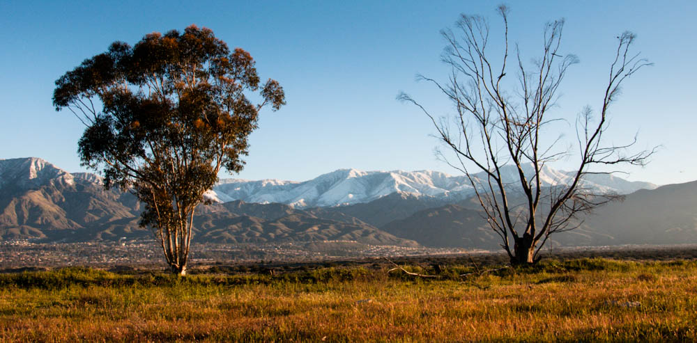
Valley View II

Fire under a Full Moon II

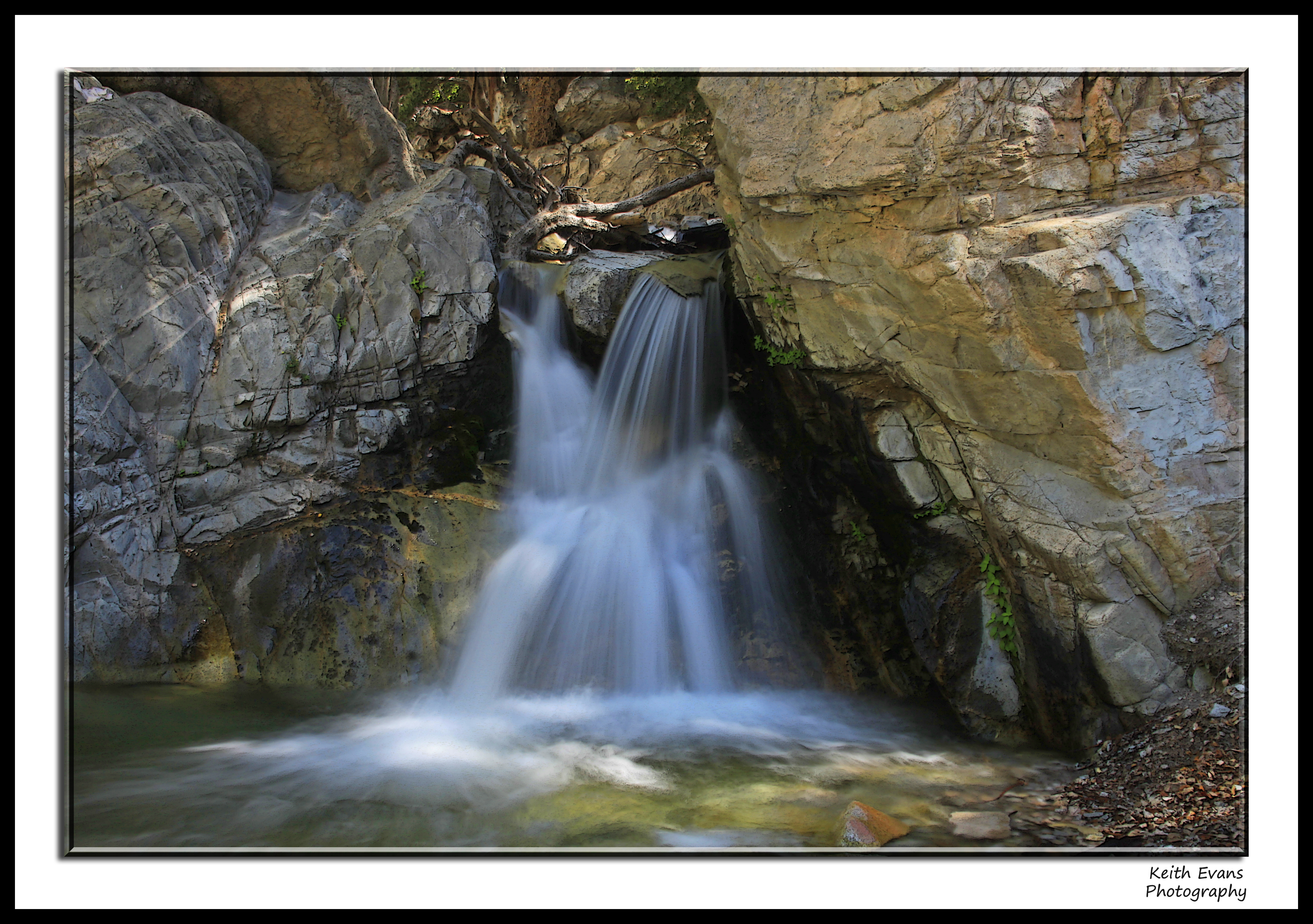
Reach - Forest Falls, CA, USA

Snow Creek

Twilight Rocks and Stream

Mill Creek Storm Sunset

Mill Creek and Storm III

Garnet St. Bridge - Mentone, CA, USA

Spring Valley
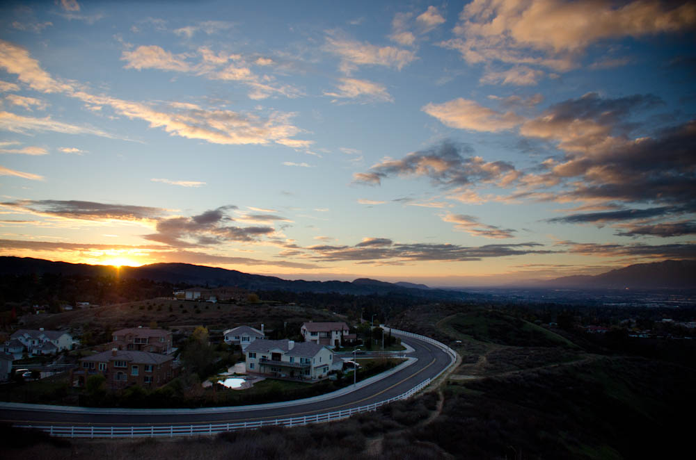
A 2013 Sunset

UP 7492

UP 7939

oak glen reflection
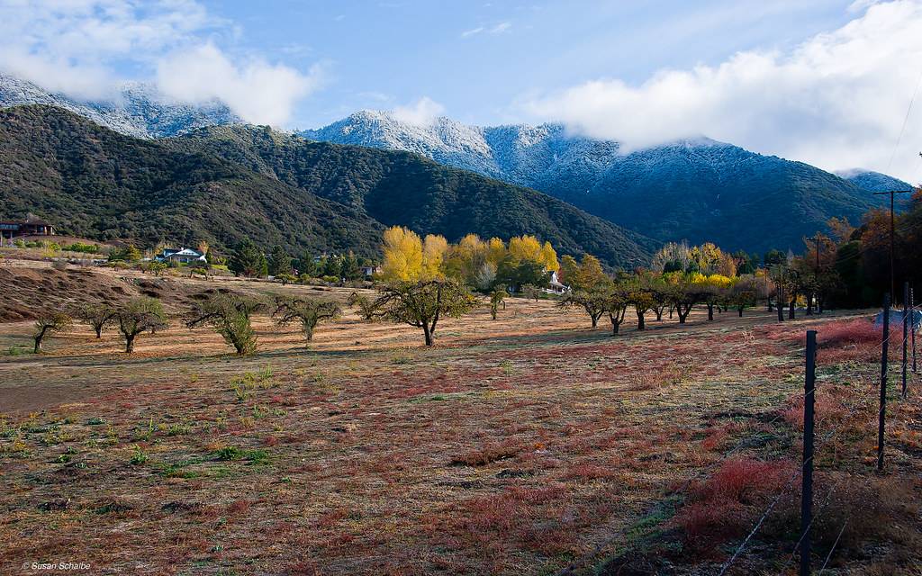
Autumn day in apple country
FF 010
Standing Guard
FF 008
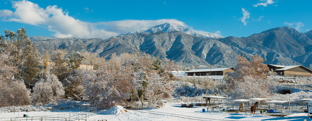
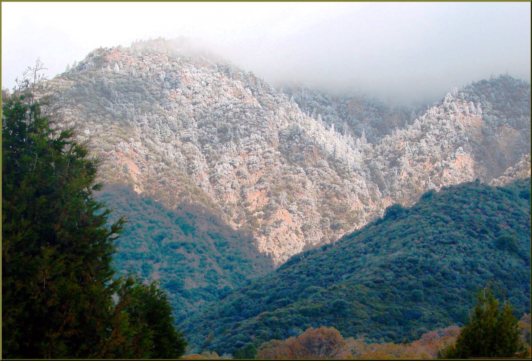
Yucaipa Morning Snow Dust
Topographic Map of Yucaipa, CA, USA
Find elevation by address:

Places in Yucaipa, CA, USA:
Little San Gorgonio Peak
Fremont Street
Yucaipa Blvd, Yucaipa, CA, USA
Oak View Road
Sleepy Hollow Lane
Pecan Avenue
Avena Way
Bryant Street
Yucaipa, CA, USA
Oak Glen Road
Oak Glen Road
Yucaipa Boulevard
Cienega Drive Trail
Oak Glen Road
Lily Road
Preston Lane
Sunnyside Drive
13th Street
Oak Glen Road
California 38 & Bryant Street
Places near Yucaipa, CA, USA:
12008 2nd St
34625 Cedar Ave
12406 3rd St
Preston Lane
35255 Beech Ave
11748 3rd St
12367 4th St
12539 California St
12296 Bryant St
35120 Date Ave
35213 Date Ave
12650 California St
Avena Way
35191 Persimmon Ave
12700 2nd St
12700 2nd St
Bryant Street
11563 Townsend Way
35345 Date Ave
12387 Custer St
Recent Searches:
- Elevation of Corso Fratelli Cairoli, 35, Macerata MC, Italy
- Elevation of Tallevast Rd, Sarasota, FL, USA
- Elevation of 4th St E, Sonoma, CA, USA
- Elevation of Black Hollow Rd, Pennsdale, PA, USA
- Elevation of Oakland Ave, Williamsport, PA, USA
- Elevation of Pedrógão Grande, Portugal
- Elevation of Klee Dr, Martinsburg, WV, USA
- Elevation of Via Roma, Pieranica CR, Italy
- Elevation of Tavkvetili Mountain, Georgia
- Elevation of Hartfords Bluff Cir, Mt Pleasant, SC, USA