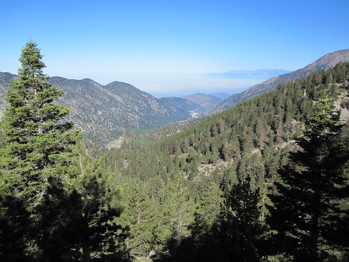
Elevation of Little San Gorgonio Peak, California, USA

Location: United States > California > San Bernardino County > Yucaipa >

Longitude: -116.88502

Latitude: 34.0602901

Elevation: 2784m / 9134feet

Barometric Pressure: 72KPa

Elevation Map:

elevation map of Little San Gorgonio Peak, California, USA

Satellite Map:

Satellite map of Little San Gorgonio Peak, California, USA

Related Photos:

california autumn fallleaves usa fall apple scale landscapes bluesky redleaves appleorchard inlandempire turningleaves backlitleaves oakglenca snowlineorchard dgrahamphoto
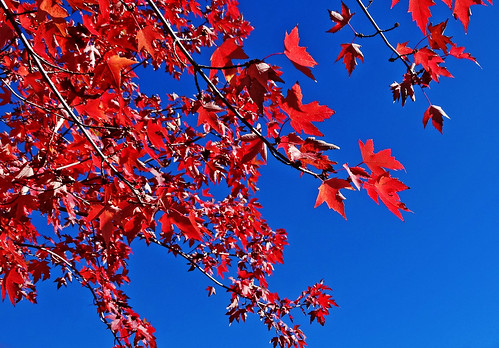
Sun on Oak Leaves, Oak Glen, CA 11-8-14
camping mountains outdoors hiking climbing backpacking ochc sangorgoniowilderness sanbernardinopeak limberpinebench
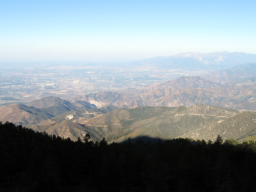
Morning view
angelusoaks sbnf
View from Warm Springs Truck Road - Angelus Oaks
california tree landscape scenery rimoftheworld
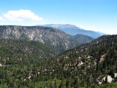
San Bernardino Mountains
california tree landscape scenery rimoftheworld
San Bernardino Mountains
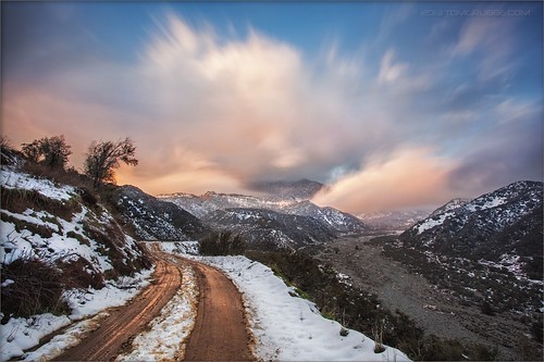
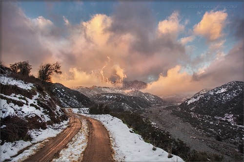
road longexposure snow mountains clouds landscape hills southerncalifornia banning inlandempire sangorgonio ndx00
View from Buff Rd LE
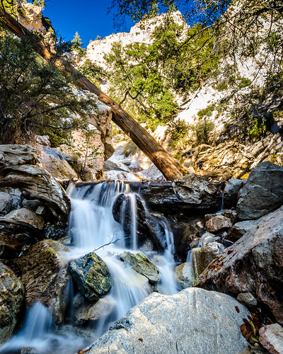
california wild mountain nature creek river outdoors cool stream adventure clear socal exploration santaanariver headwaters mountainstream flowingwater sanbernardinonationalforest sanbernardinomountains riparianforest zoniedude1 earthnaturelife canonpowershotg12 6200ftelevation
Mountain Stream
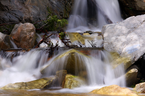
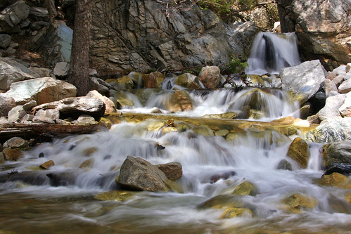
california longexposure travel usa nature creek canon river landscape photo waterfall photographer picture southerncalifornia 2010 forestfalls sanbernardinonationalforest bigfalls 40d photographersnaturecom davetoussaint
Big Falls Creek Long Exposure
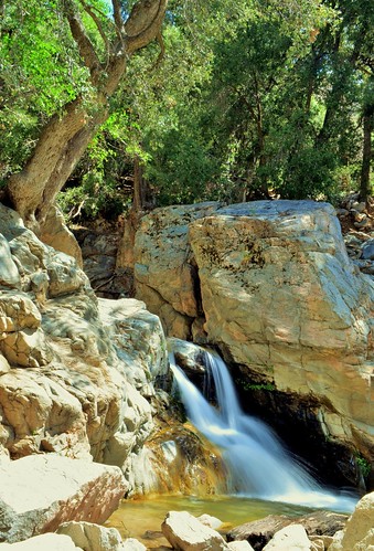
mountains creek nikon flickr with valley friendly hikes millcreekcanyon sanbernadino googleimages bernadino forestfalls friendlydog fallsmill sanbernadinomountains yahooimages forestdog canyonforest bingimages dogsnational nikond5100 swazileigh fallssan fallsbig valleyoffalls mountainsfallsgreenwaterwaterfallwaterfallshikehikingmountainhiking
1 of (7) LOWER Falls- Valley of Falls, Mill Creek Canyon, San Bernadino Mountains
california longexposure water river landscape photography nikon stream unitedstates sanbernardinocounty forestfalls d7000 photographersontumblr
Big Falls Stream - Forest Falls, CA, USA
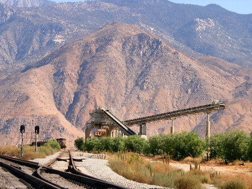
california digital train canon eos rebel sand mine open pass tracks pit robertsons hopper gravel banning cabazon sangorgonio sangorgoniopass xti openhopper robertsonsreadymix rrmx1033
Open Pit Mine
california longexposure travel usa nature creek canon river landscape photo waterfall photographer picture southerncalifornia 2010 forestfalls sanbernardinonationalforest bigfalls 40d photographersnaturecom davetoussaint
Big Falls Cascading Creek
road snow mountains clouds landscape hills southerncalifornia banning inlandempire sangorgonio
View from Buff Rd
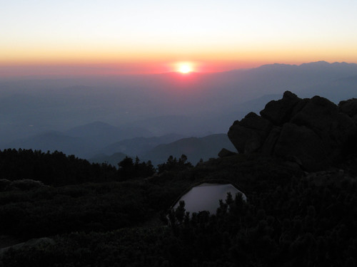
camping mountains outdoors hiking climbing backpacking ochc sangorgoniowilderness sanbernardinopeak limberpinebench
Sunset from Limber Pine Bench
camping panorama mountains outdoors hiking backpacking soy photostitch southforktrail drylake hugin mtsangorgonio sanbernardinomountains sangorgoniowilderness
San Gorgonio panorama
trees usa snow mountains fall clouds america fallcolors harvest fences foliage farms apples farmbuildings appleorchards oakglenca earlyamericana dgrahamphoto
Oak Glen Harvest Time 11-10-12
trees winter mountains reflection reeds pond farming cattails apples agriculture orchards oakglenca inlandempireca losriosranchos dgrahamphoto
Winter Pond, Oak Glen, CA 1-19-13
hiking sangorgonio
San Gorgonio
mountain geotagged san peak trail pines bernardino sanbernardino limber geotaggedtours washingtonsmonument
The View From Below Washington's Monument
california mountain hiking peak hike trail peakbagging sangorgonio viviancreek socalhiker
Beautiful Views
bigbearlake sanbernardinonationalforest sanbernardinomountains
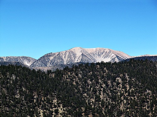
Ranges of the San Bernardinos - San Bernardino Peak and flanks of San Gorgonio