Elevation of Rock Dr, Forest Falls, CA, USA

Location: United States > California > San Bernardino County > Forest Falls >
Longitude: -116.89818

Latitude: 34.0807139

Elevation: 1835m / 6020feet

Barometric Pressure: 81KPa

Elevation Map:
elevation map of Rock Dr, Forest Falls, CA, USA

Satellite Map:

Satellite map of Rock Dr, Forest Falls, CA, USA

Related Photos:

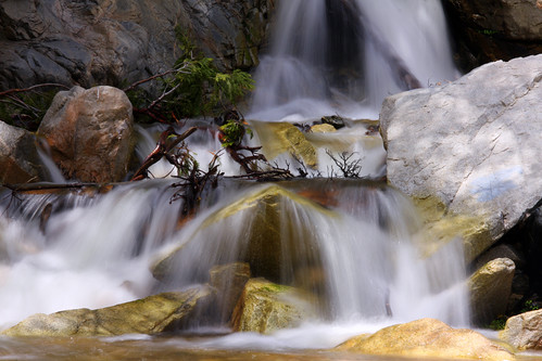
california longexposure travel usa nature creek canon river landscape photo waterfall photographer picture southerncalifornia 2010 forestfalls sanbernardinonationalforest bigfalls 40d photographersnaturecom davetoussaint
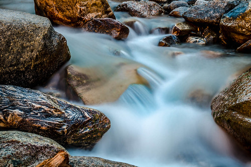
Big Falls Creek Long Exposure
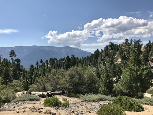
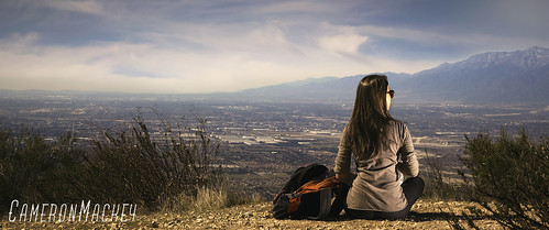
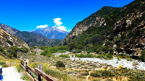
landscape clouds mountains trees california bigbearlake iphone
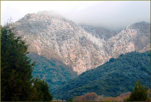
mountain landscape
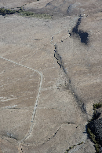
california nature flats burro sanandreasfault fault geology sanandreas banning saf geomorphology aerialphotograph riversidecounty scarp sangorgoniopass splayfault
Aerial view of the San Andreas Fault, Burro Flats, Riverside County, California
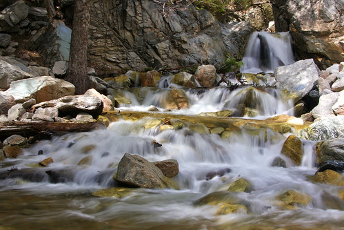
california longexposure travel usa nature creek canon river landscape photo waterfall photographer picture southerncalifornia 2010 forestfalls sanbernardinonationalforest bigfalls 40d photographersnaturecom davetoussaint
Big Falls Cascading Creek
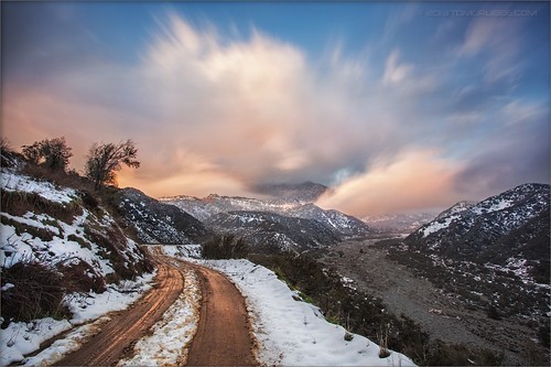
road longexposure snow mountains clouds landscape hills southerncalifornia banning inlandempire sangorgonio ndx00
View from Buff Rd LE
Bogart Park_0068
Bogart Park_0059
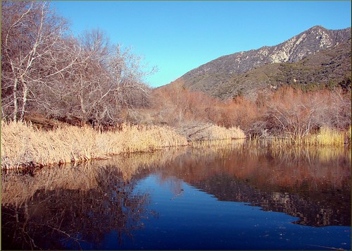
oakglenca pond reeds cattails reflection losriosranchos mountains winter apples orchards trees inlandempireca agriculture farming dgrahamphoto
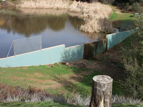
Winter Pond, Oak Glen, CA 1-19-13
Bogart Park_0041
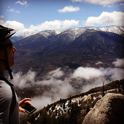
california snow cute clouds relax glasses healthy pretty view hiking flash dirt trail highland backpack workout fitness redlands fit trailmix mentone yucaipa sanbernardino tennisshoes canon50mm18 strobist canon550 zanjapeak canont2i
Original to these lands.
Bogart Park_0039
Bogart Park_0003
square squareformat lordkelvin iphoneography instagramapp uploaded:by=instagram foursquare:venue=4e1b18896284c069739b9c15
View from the patio. Good morning ya'll!!!
trees usa snow mountains fall clouds america fallcolors harvest fences foliage farms apples farmbuildings appleorchards oakglenca earlyamericana dgrahamphoto
Oak Glen Harvest Time 11-10-12
Bogart Park_0070
camping panorama mountains outdoors hiking backpacking soy photostitch southforktrail drylake hugin mtsangorgonio sanbernardinomountains sangorgoniowilderness
San Gorgonio panorama
california geotagged unitedstates mountainhomevillage 296kmtomountainhomevillageincaliforniaunitedstates geo:lat=34106112 geo:lon=117030594
Winding Road up Morton Peak
Bogart Park_0047
Bogart Park_0053
Bogart Park_0066
Grand View Point
Yucaipa California
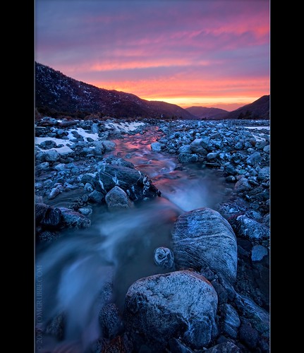
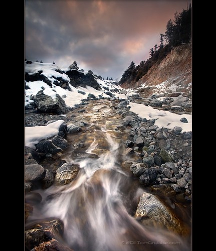
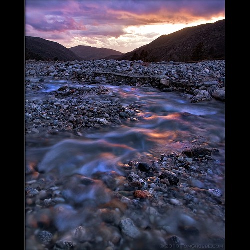
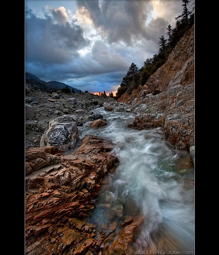
sunset tom river landscape rocks stream dusk brook forestfalls underlight grubbe angelusoaks tomgrubbe
Twilight Rocks and Stream
sanbernardinonationalforest bartonflats california jenkslake forest lake mountains wetland angelusoaks
The Far Shore
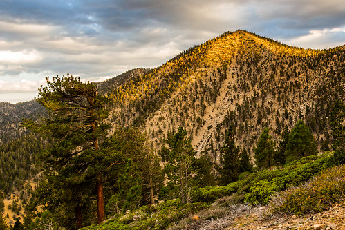
sky nature canon landscape outdoors hiking september socal southerncalifornia dslr sl1 hps lakepeak sanbernardinonationalforest sanbernardinomountains sangorgoniowilderness hundredpeakssection tenthousandfootridge sigma18250mmf3563dcmacrooshsm
Golden Light on Ten Thousand Foot Ridge
Yucaipa California
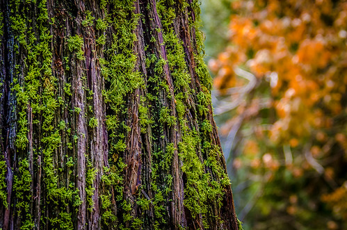
california landscape photography nikon unitedstates sanbernardinocounty forestfalls d7000 photographersontumblr
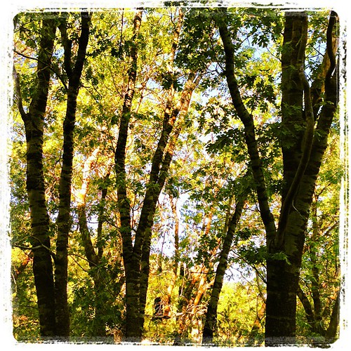
Mossy Trunk - Forest Falls, CA, USA
california snow mountains creek forest river landscape stream millcreek forestfalls
Snow Creek
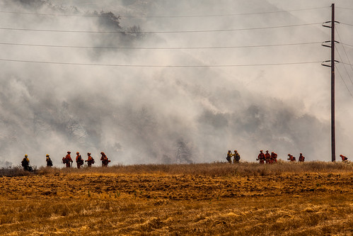
california news field fire natural smoke hill working burning powerlines burn disaster ash fighting journalism highway38 wildfire mentone yucaipa fireline
Yucaipa/Mentone Fire
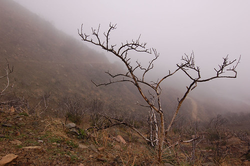
Lonely Tree
millcreekcanyon sanbernardinonationalforest california photo digital spring canyon mountains mountsanbernardino
Mill Creek Canyon
trees sunset mountain storm clouds landscape stream dusk millcreek forestfalls tomgrubbe tomgrubbecom
Mill Creek Storm Sunset
Bastille Day, 2014
trees sunset mountain storm clouds creek river landscape stream dusk millcreek forestfalls
Mill Creek and Storm III
california longexposure water river landscape photography nikon rocks stream unitedstates nationalforest mentone sanbernardinocounty ndfilter d7000
Mill Creek - Mentone, CA, USA
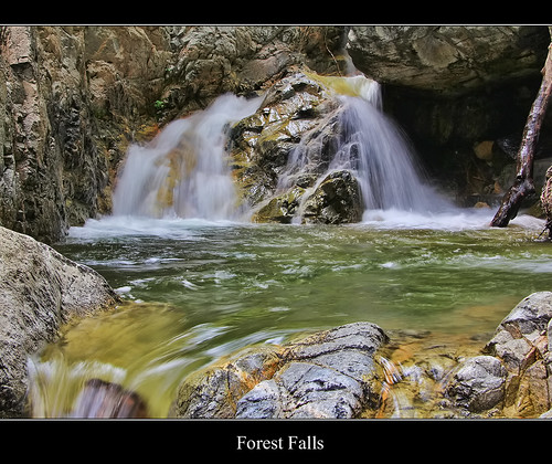
california ca longexposure travel usa motion nature water creek photoshop canon river landscape photo waterfall interestingness interesting photographer slow cs2 tripod picture july explore adobe southerncalifornia soe topaz infocus sanbernardinocounty forestfalls 2011 sanbernardinonationalforest bigfalls 40d topazlabs topazclean topazadjust topazsimplify photographersnaturecom davetoussaint ringexcellence
Forest Falls
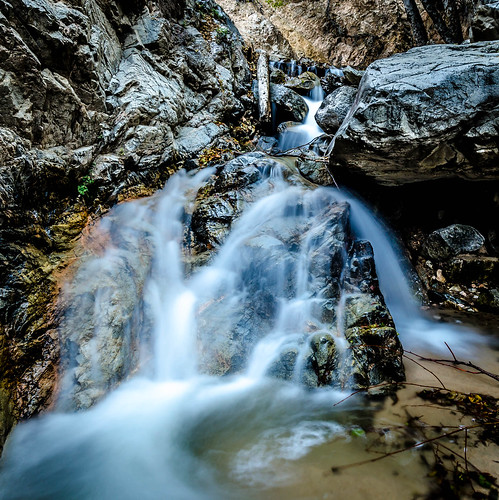
california longexposure water river landscape photography nikon stream unitedstates sanbernardinocounty forestfalls d7000 photographersontumblr
Big Falls Stream - Forest Falls, CA, USA
bw landscape romy
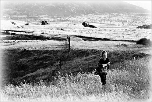
Romy in the field
angelusoaks california unitedstates us
IMG_2708.jpg
california trees fall landscape photography nikon seasons unitedstates mentone sanbernardinocounty d7000 photographersontumblr
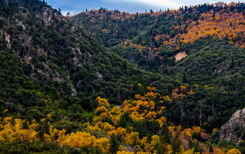
Orange and Green - San Bernardino National Forest, CA, USA