Elevation of Oak Glen Rd, Oak Glen, CA, USA

Location: United States > California > San Bernardino County > Oak Glen >

Longitude: -116.93697

Latitude: 34.0371272

Elevation: 1436m / 4711feet

Barometric Pressure: 85KPa

Elevation Map:

elevation map of Oak Glen Rd, Oak Glen, CA, USA

Satellite Map:

Satellite map of Oak Glen Rd, Oak Glen, CA, USA

Related Photos:

road longexposure snow mountains clouds landscape hills southerncalifornia banning inlandempire sangorgonio ndx00
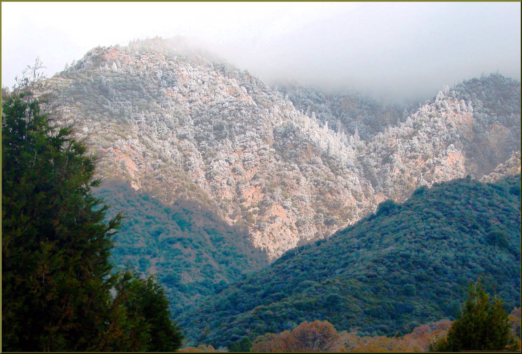
View from Buff Rd LE
Bogart Park_0068
california longexposure sky grass clouds unitedstates 52weeks sigma1020mmf456 calimesa nd110 52weekproject
the view from here [7:52]
california flowers blue green floral field yellow vertical gold one flora sunflower behind rearview peggy yucaipa ©allrightsreserved ©peggyhughes
sunny rear view
Bogart Park_0059
oakglenca pond reeds cattails reflection losriosranchos mountains winter apples orchards trees inlandempireca agriculture farming dgrahamphoto
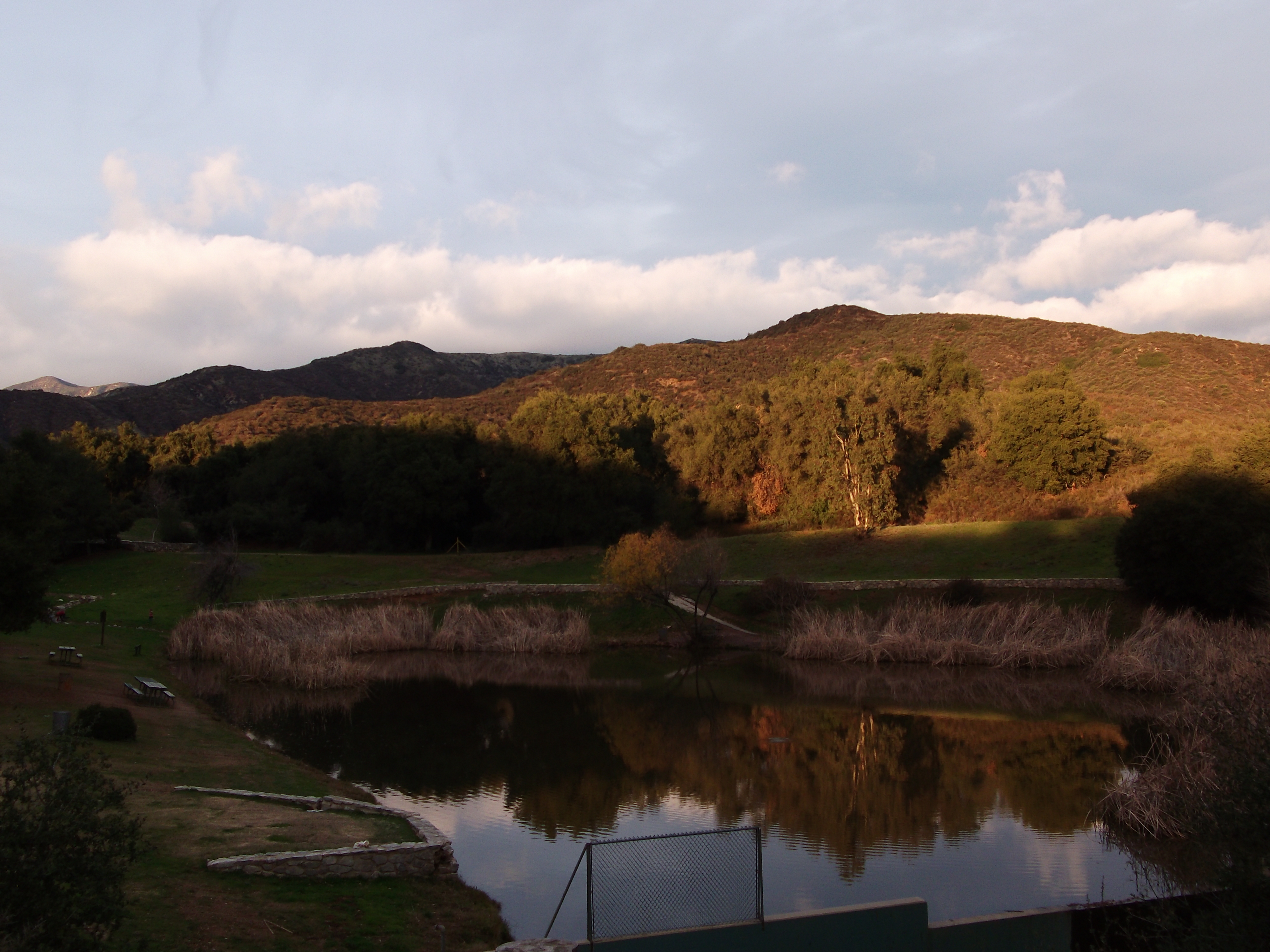
Winter Pond, Oak Glen, CA 1-19-13
Bogart Park_0041
california snow cute clouds relax glasses healthy pretty view hiking flash dirt trail highland backpack workout fitness redlands fit trailmix mentone yucaipa sanbernardino tennisshoes canon50mm18 strobist canon550 zanjapeak canont2i
Original to these lands.
ranch field sunrise landscape farm pumpkins redlandsca oldwagon liveoakcanyon dgrahamphoto wildoakfarms
Live Oak Farms, Wagon 12-9-12
Bogart Park_0039
california swimming canon outdoors socal 5d canon5d tcc swimmeet canondslr yucaipa kenszok theclaremontclub kszokphotography
Swim Lane
Bogart Park_0003
square squareformat lordkelvin iphoneography instagramapp uploaded:by=instagram foursquare:venue=4e1b18896284c069739b9c15
View from the patio. Good morning ya'll!!!
trees usa snow mountains fall clouds america fallcolors harvest fences foliage farms apples farmbuildings appleorchards oakglenca earlyamericana dgrahamphoto
Oak Glen Harvest Time 11-10-12
Bogart Park_0070
california nature flats burro sanandreasfault fault geology sanandreas banning saf geomorphology aerialphotograph riversidecounty scarp sangorgoniopass splayfault
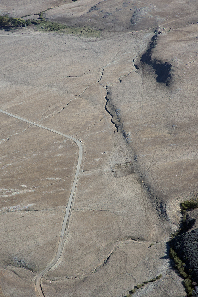
Aerial view of the San Andreas Fault, Burro Flats, Riverside County, California
california geotagged unitedstates mountainhomevillage 296kmtomountainhomevillageincaliforniaunitedstates geo:lat=34106112 geo:lon=117030594
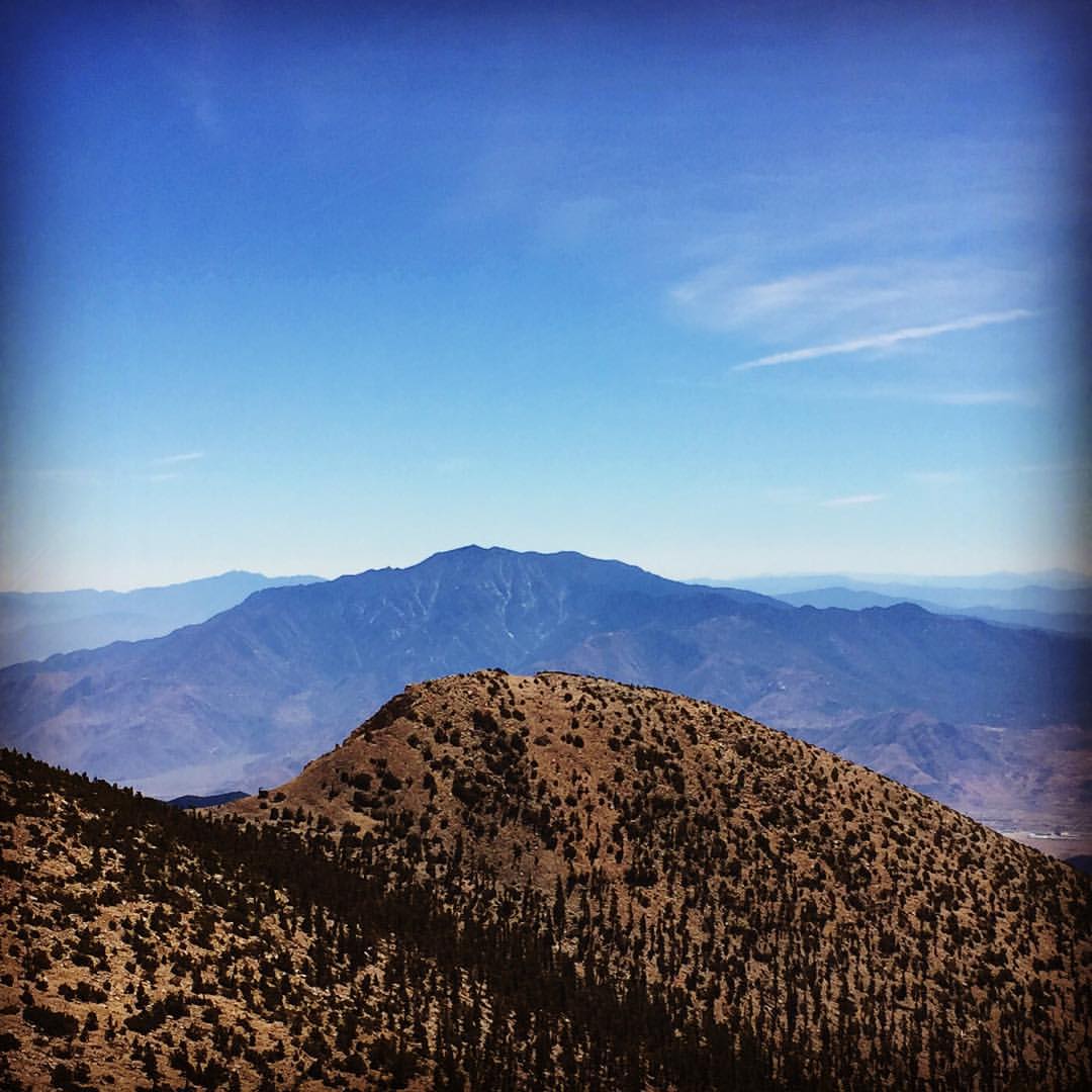
Winding Road up Morton Peak
Bogart Park_0047
Bogart Park_0053
Bogart Park_0048
Bogart Park_0013
california snow mountains creek forest river landscape stream millcreek forestfalls
Snow Creek
sunset tom river landscape rocks stream dusk brook forestfalls underlight grubbe angelusoaks tomgrubbe
Twilight Rocks and Stream
california news field fire natural smoke hill working burning powerlines burn disaster ash fighting journalism highway38 wildfire mentone yucaipa fireline
Yucaipa/Mentone Fire
millcreekcanyon sanbernardinonationalforest california photo digital spring canyon mountains mountsanbernardino
Mill Creek Canyon
trees sunset mountain storm clouds landscape stream dusk millcreek forestfalls tomgrubbe tomgrubbecom
Mill Creek Storm Sunset
trees sunset mountain storm clouds creek river landscape stream dusk millcreek forestfalls
Mill Creek and Storm III
california longexposure water river landscape photography nikon rocks stream unitedstates nationalforest mentone sanbernardinocounty ndfilter d7000
Mill Creek - Mentone, CA, USA
Yucaipa California
california longexposure water river landscape photography nikon stream unitedstates sanbernardinocounty forestfalls d7000 photographersontumblr
Big Falls Stream - Forest Falls, CA, USA
california trees fall landscape photography nikon seasons unitedstates mentone sanbernardinocounty d7000 photographersontumblr
Orange and Green - San Bernardino National Forest, CA, USA
california road bridge sky reflection wet water weather clouds landscape photography nikon unitedstates steel mentone partlycloudy sanbernardinocounty d7100
Garnet St. Bridge - Mentone, CA, USA
california ca travel usa motion nature water creek photoshop canon river landscape photo waterfall interestingness interesting photographer slow stitch cs2 little 10 widescreen tripod wide picture july screen explore filter adobe nd southerncalifornia infocus sanbernardinocounty forestfalls 2011 sanbernardinonationalforest bigfalls denoise 60d topazlabs sbnf topazadjust photographersnaturecom davetoussaint ringexcellence
Little Falls at Forest Falls
california autumn trees fall nature leaves landscape paths benches sanbernardinocounty oakglen wildlandsconservancy oakglennaturepreserve
Autumn leaves
square squareformat hefe iphoneography instagramapp uploaded:by=instagram
#hiking #camping #backpacking #adventure #outdoors #outdoor #nature #travel #naturalbeauty #trails #cali #hikerchat #52HikeChallenge #trailchat #amazing #awesome #mountains #skyline #sanjacinto
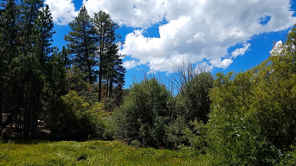
sanbernardinonationalforest bartonflats jenkslake california photo digital summer meadow forest angelusoaks
Mountain Meadow
california landscape photography nikon unitedstates sanbernardinocounty forestfalls d7000 photographersontumblr
Mossy Trunk - Forest Falls, CA, USA
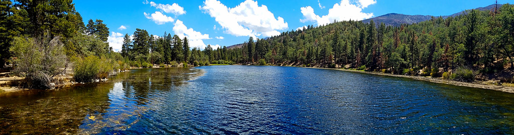
sanbernardinonationalforest bartonflats california photo digital summer jenkslake lake forest mountains angelusoaks
Jenk's Lake
Lonely Tree