Elevation of Galena Peak, California, USA
Location: United States > California > San Bernardino County > Forest Falls >
Longitude: -116.84613
Latitude: 34.0711229
Elevation: 2645m / 8678feet
Barometric Pressure: 73KPa
Elevation Map:
Satellite Map:
Related Photos:

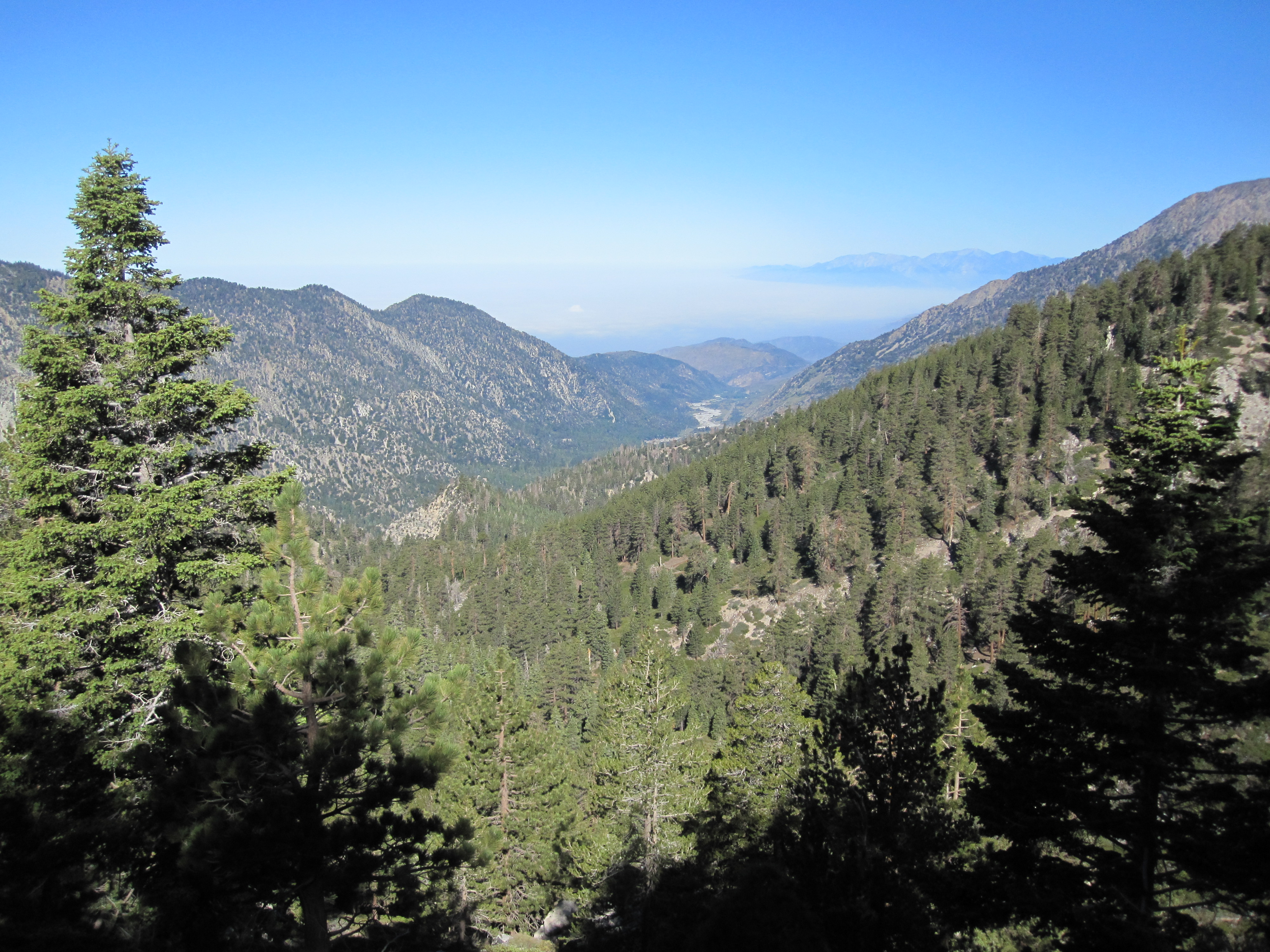
View from Buff Rd LE
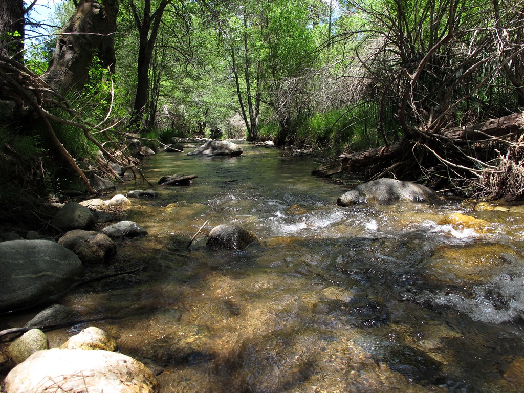
Mountain Stream
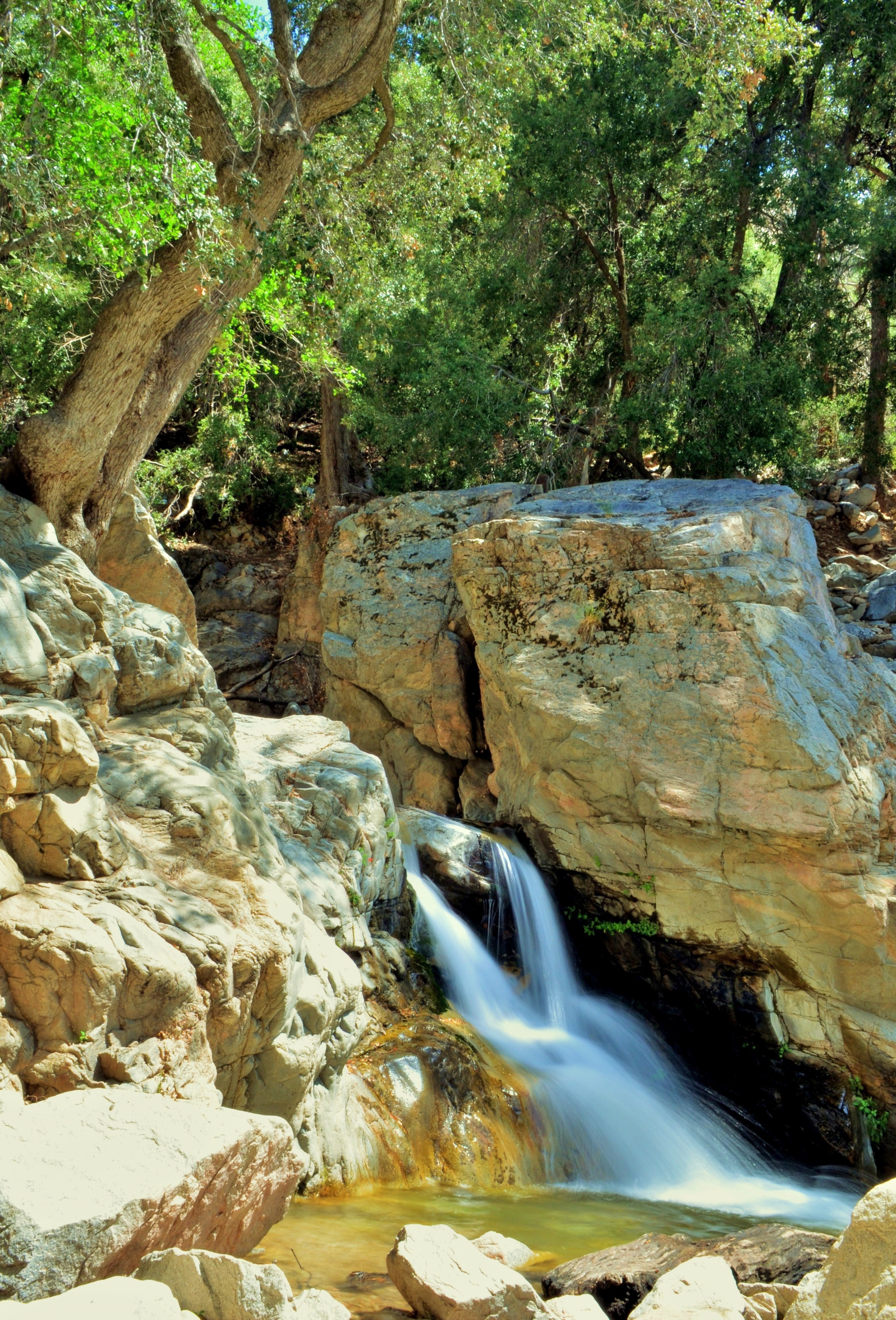
1 of (7) LOWER Falls- Valley of Falls, Mill Creek Canyon, San Bernadino Mountains
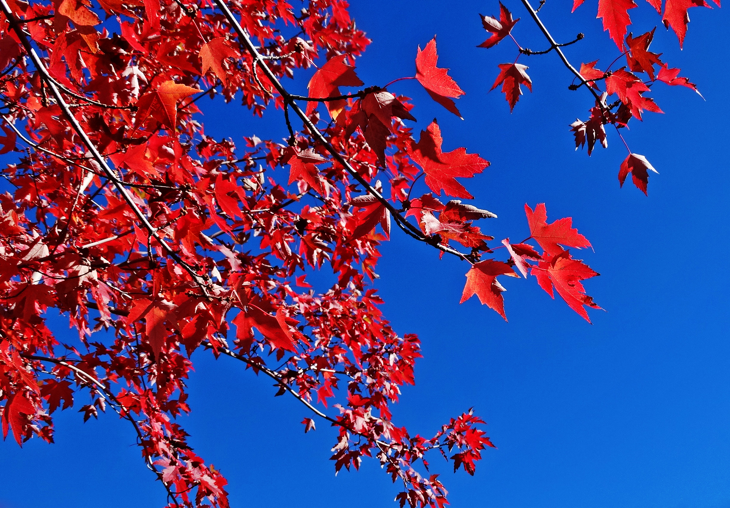
Sun on Oak Leaves, Oak Glen, CA 11-8-14
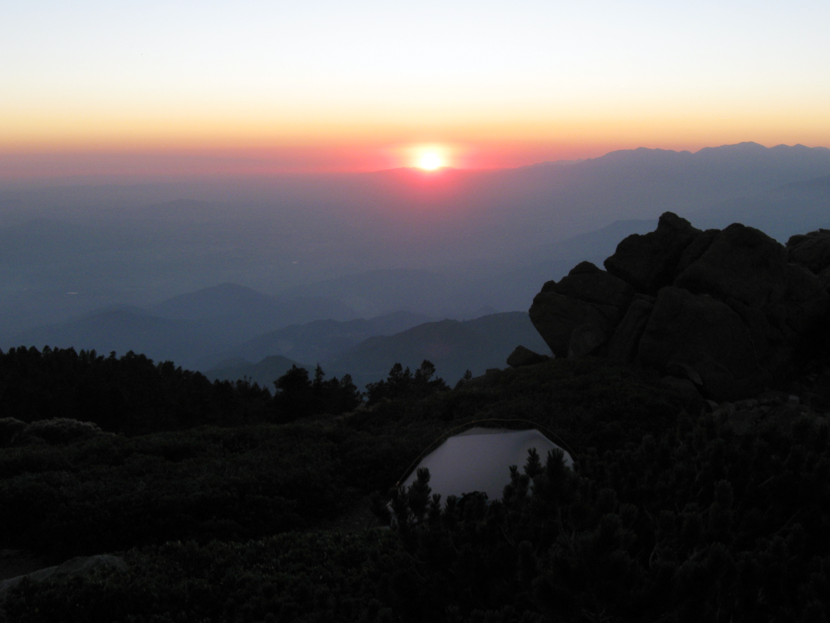
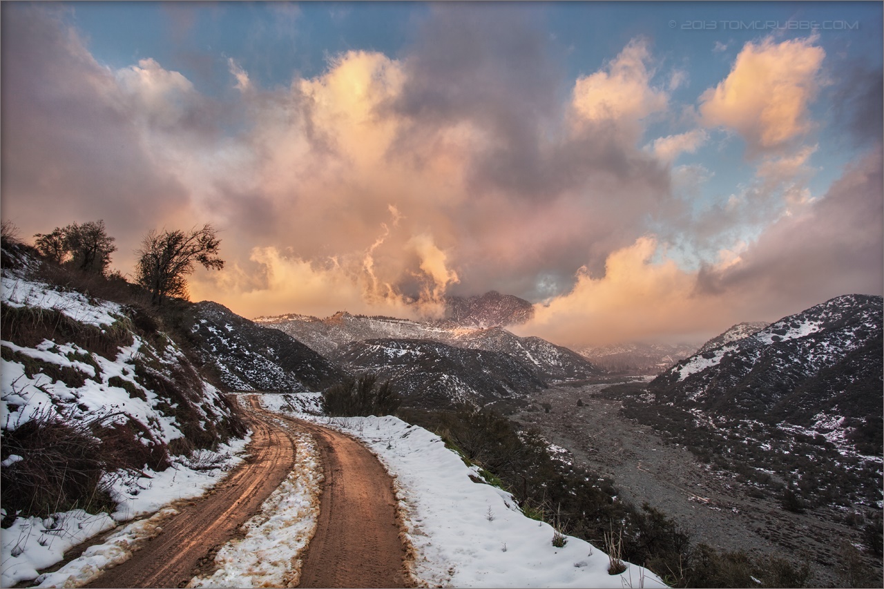
Sunset from Limber Pine Bench
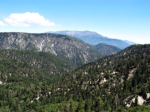
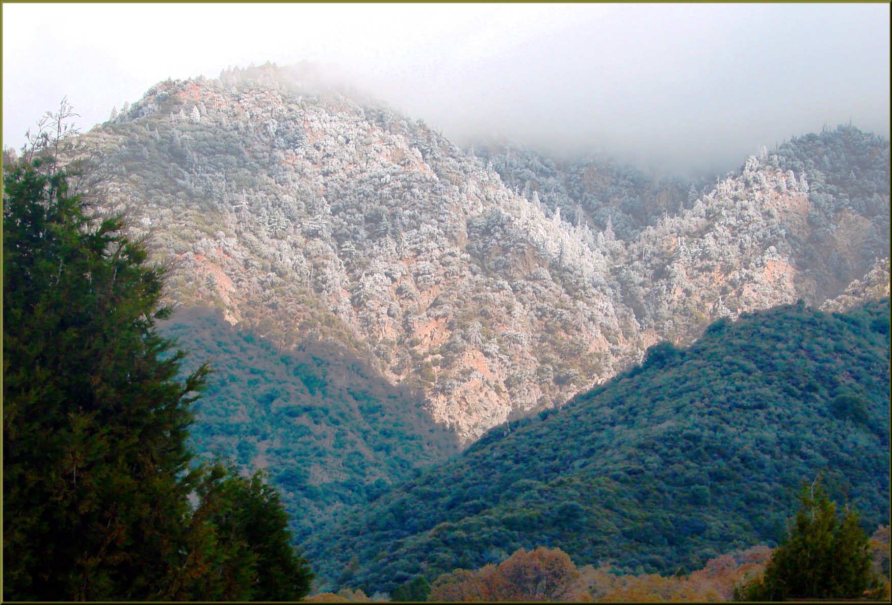
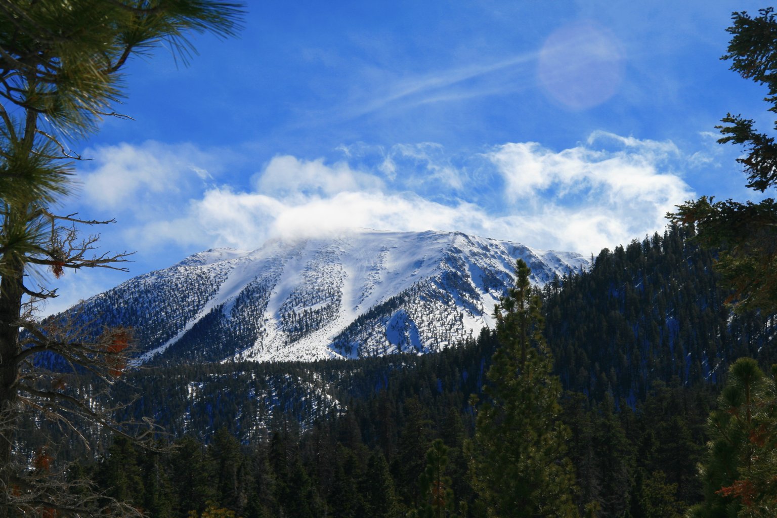
San Bernardino Mountains
San Bernardino Mountains

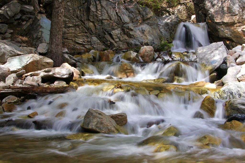
Big Falls Creek Long Exposure

Big Falls Stream - Forest Falls, CA, USA
Big Falls Cascading Creek
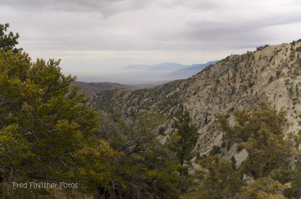
View from Buff Rd
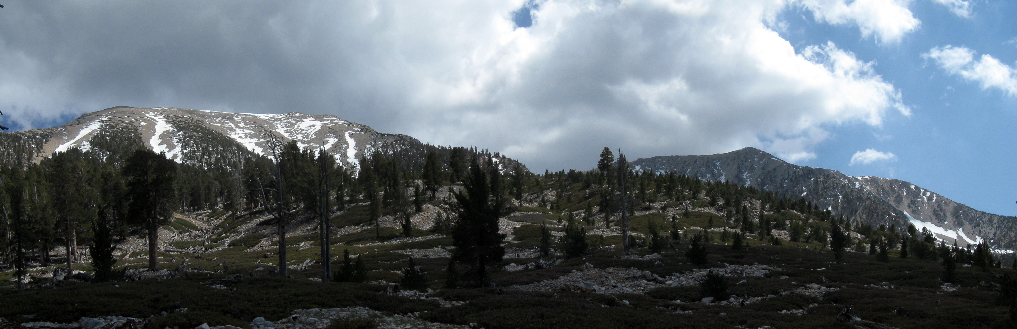
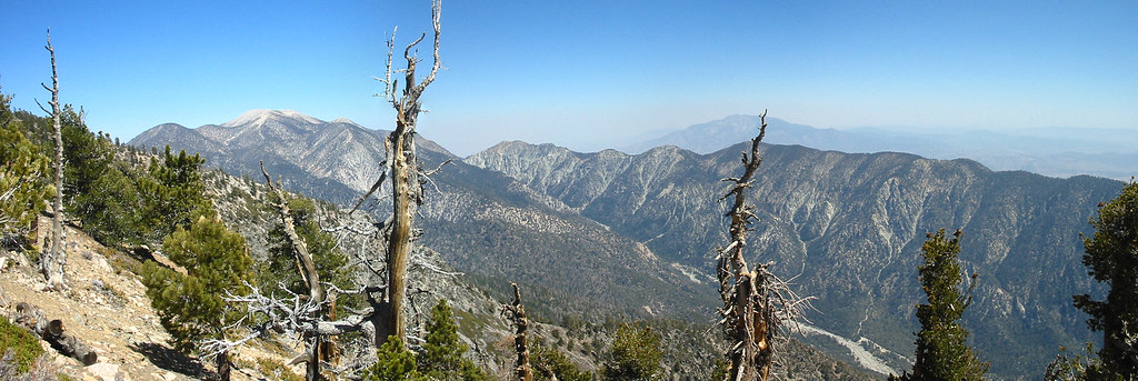
San Gorgonio panorama
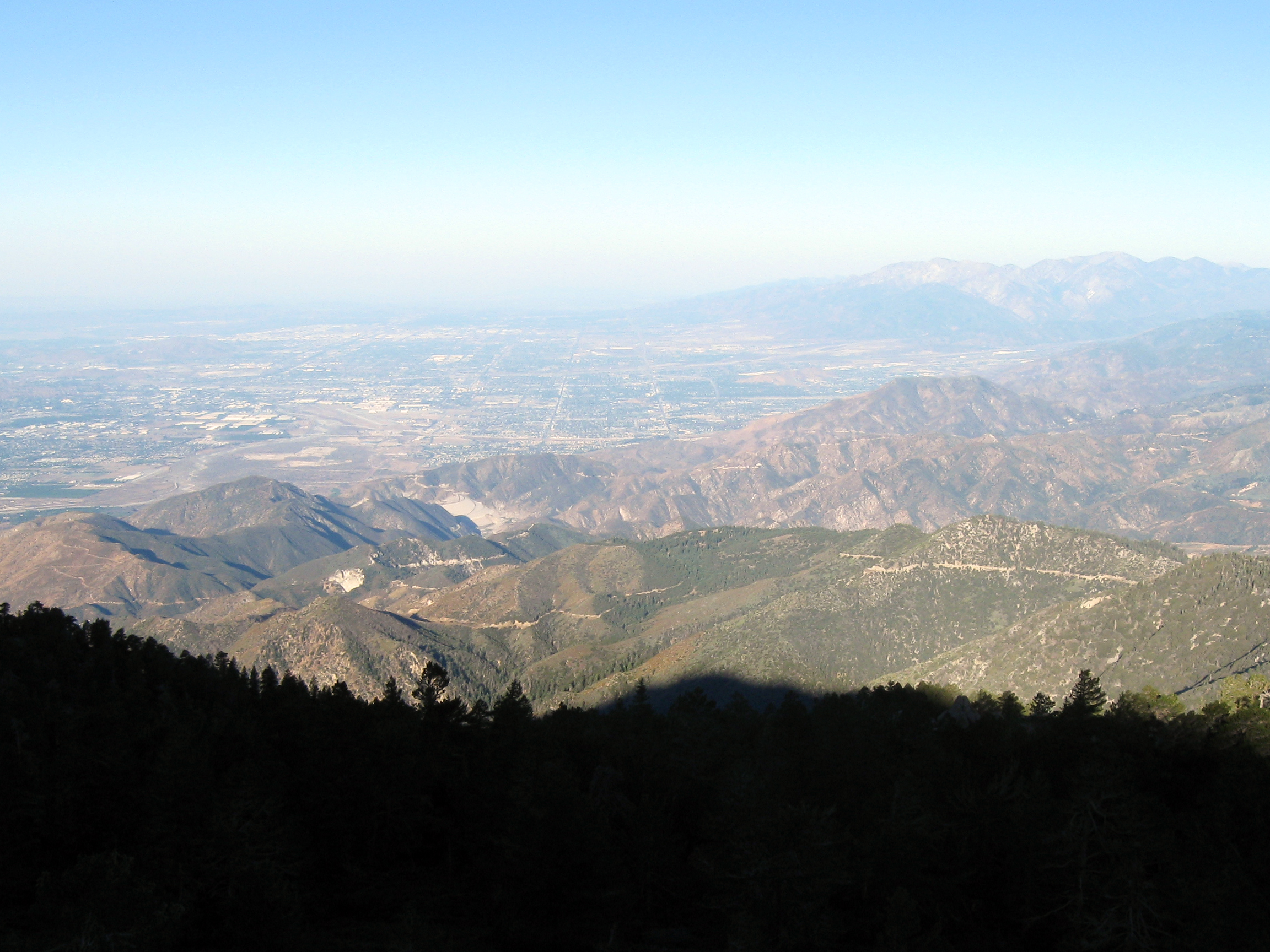
Morning view
Oak Glen Harvest Time 11-10-12

Winter Pond, Oak Glen, CA 1-19-13
20120712_San Bernardino Mountains_0011
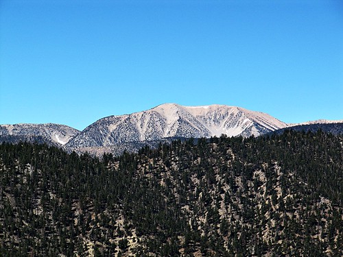
San Gorgonio
20120712_San Bernardino Mountains_0023
The View From Below Washington's Monument
20120712_San Bernardino Mountains_0019
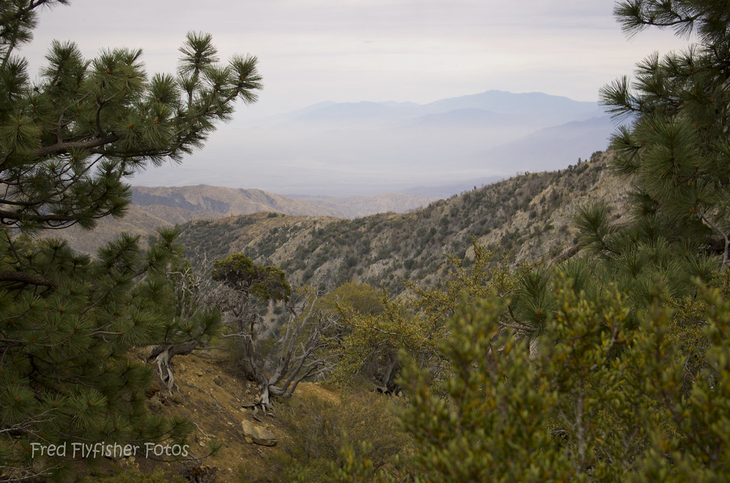
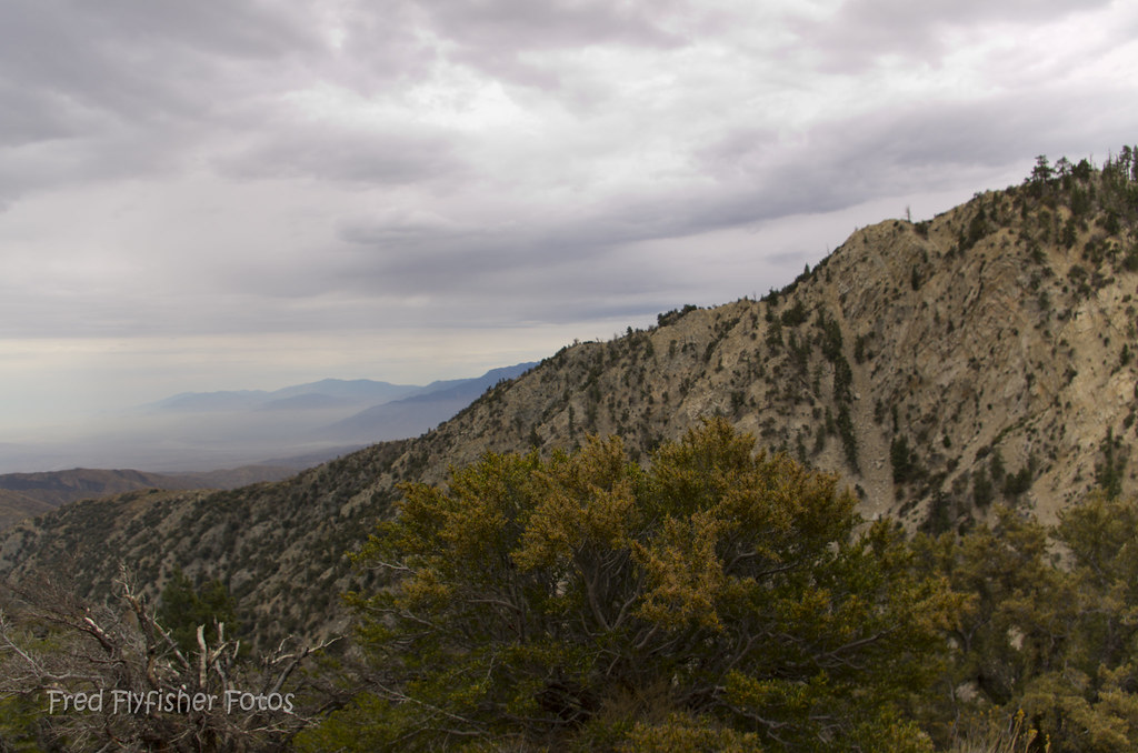
Beautiful Views
Topographic Map of Galena Peak, California, USA
Find elevation by address:

Places near Galena Peak, California, USA:
San Gorgonio Mountain
Little San Gorgonio Peak
9509 Rock Dr
9511 Rock Dr
Big Falls Lodge
9412 Spring Dr
9091 Cedar Dr
Cedar Drive
40956 Spruce Dr
Forest Falls
9182 Wood Rd
Pine Bench Road
9181 Corral Rd
8001 Bluff St
39655 Prospect Dr
39543 Canyon Dr
11951 Oak Glen Rd
39570 Glen Rd
Los Rios Rancho
39364 Oak Glen Rd
Recent Searches:
- Elevation of Corso Fratelli Cairoli, 35, Macerata MC, Italy
- Elevation of Tallevast Rd, Sarasota, FL, USA
- Elevation of 4th St E, Sonoma, CA, USA
- Elevation of Black Hollow Rd, Pennsdale, PA, USA
- Elevation of Oakland Ave, Williamsport, PA, USA
- Elevation of Pedrógão Grande, Portugal
- Elevation of Klee Dr, Martinsburg, WV, USA
- Elevation of Via Roma, Pieranica CR, Italy
- Elevation of Tavkvetili Mountain, Georgia
- Elevation of Hartfords Bluff Cir, Mt Pleasant, SC, USA