Elevation of Canyon Dr, Forest Falls, CA, USA
Location: United States > California > San Bernardino County > Forest Falls >
Longitude: -116.94111
Latitude: 34.089644
Elevation: 1507m / 4944feet
Barometric Pressure: 84KPa
Elevation Map:
Satellite Map:
Related Photos:

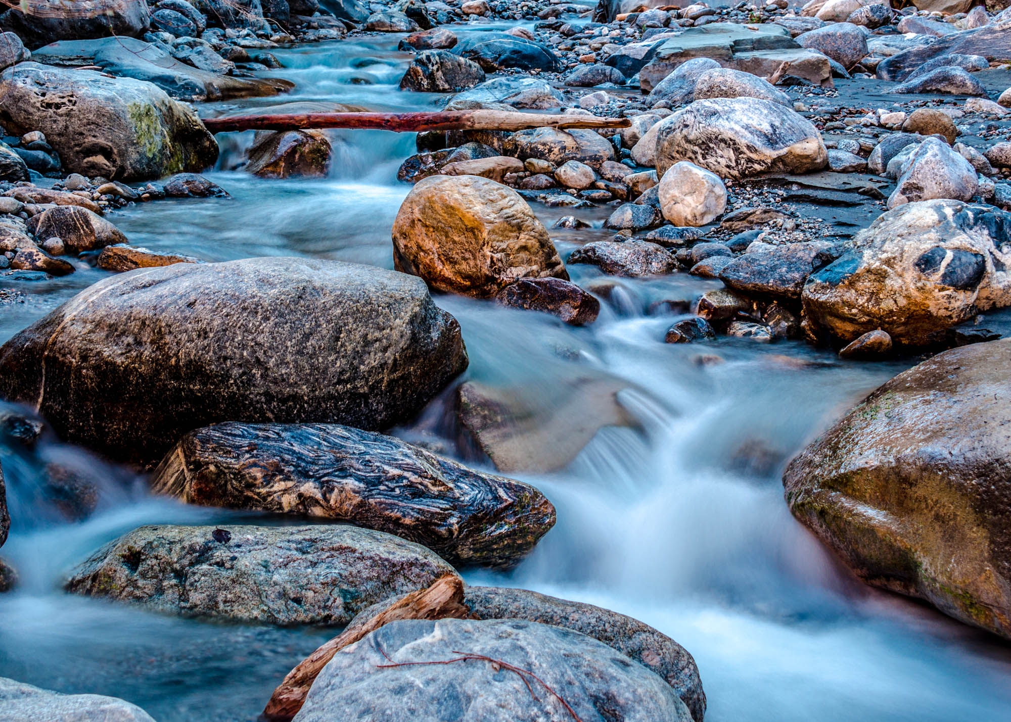
Big Falls Creek Long Exposure
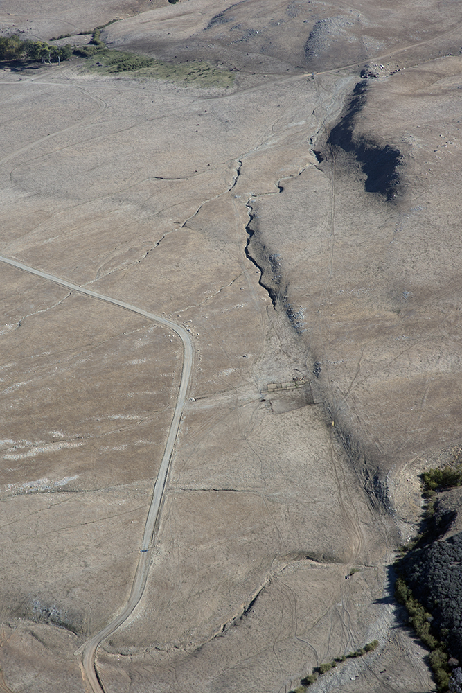
Aerial view of the San Andreas Fault, Burro Flats, Riverside County, California
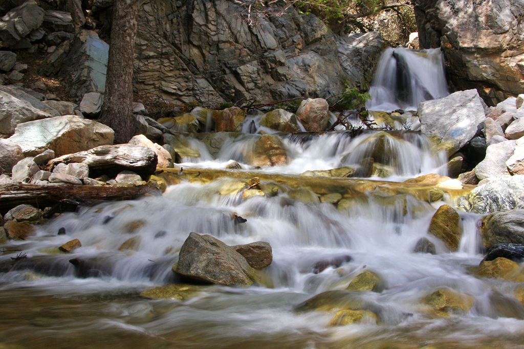
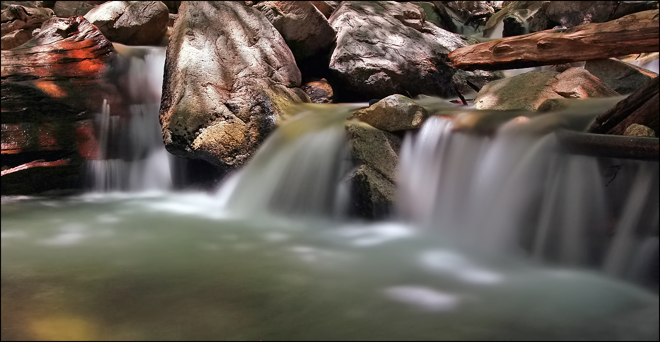
Big Falls Cascading Creek
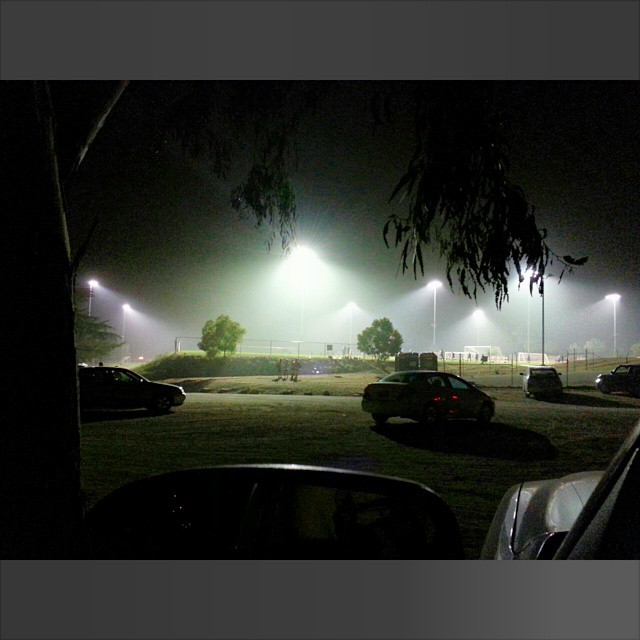
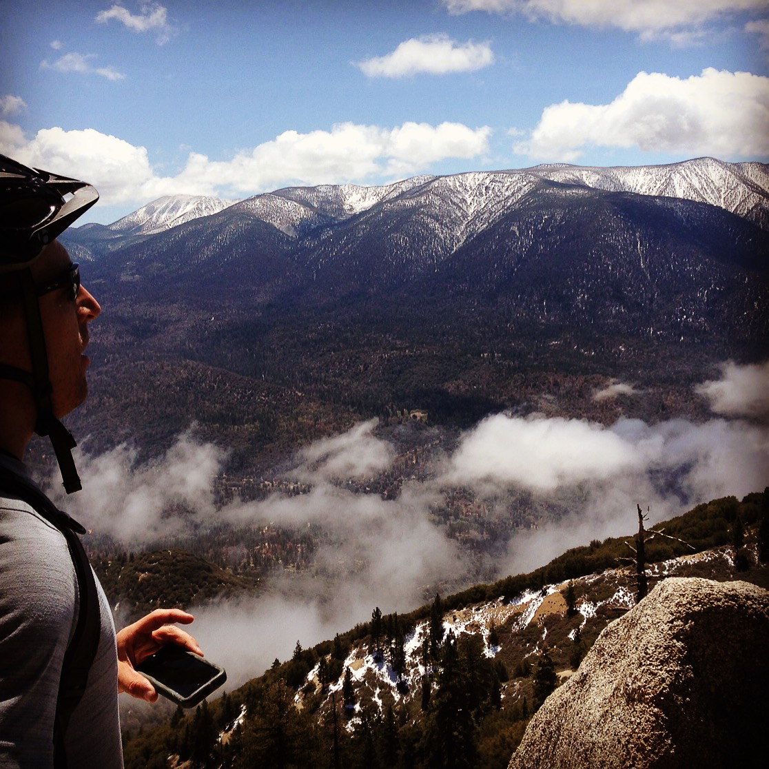
My view at the moment Waiting for sister

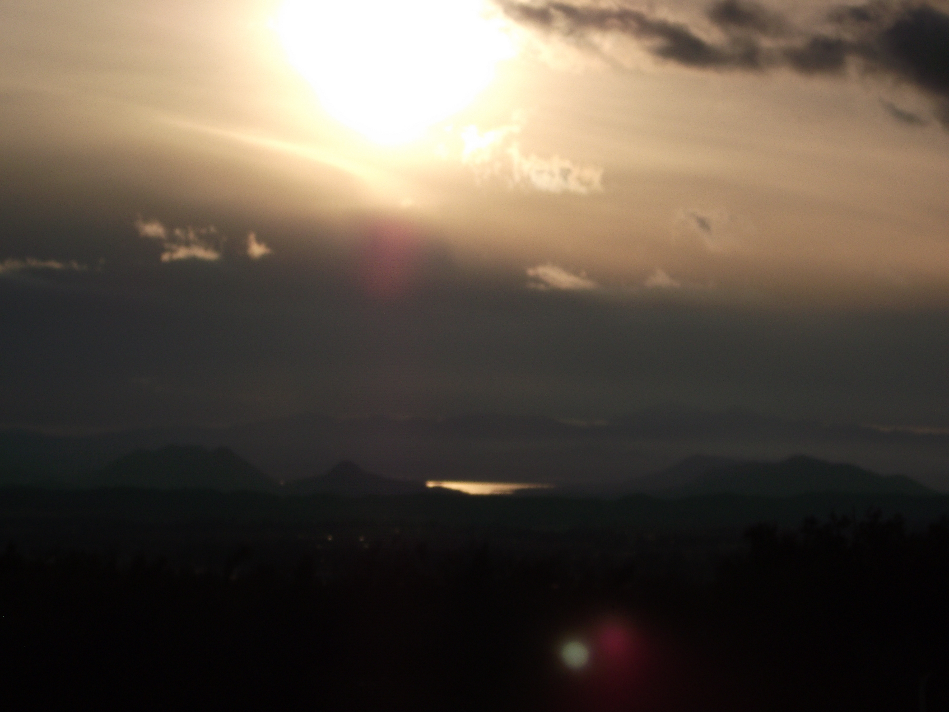
View from Buff Rd LE

Bogart Park_0068

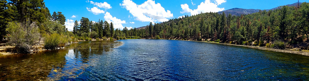
Santa Ana River Valley

Big Falls Stream - Forest Falls, CA, USA

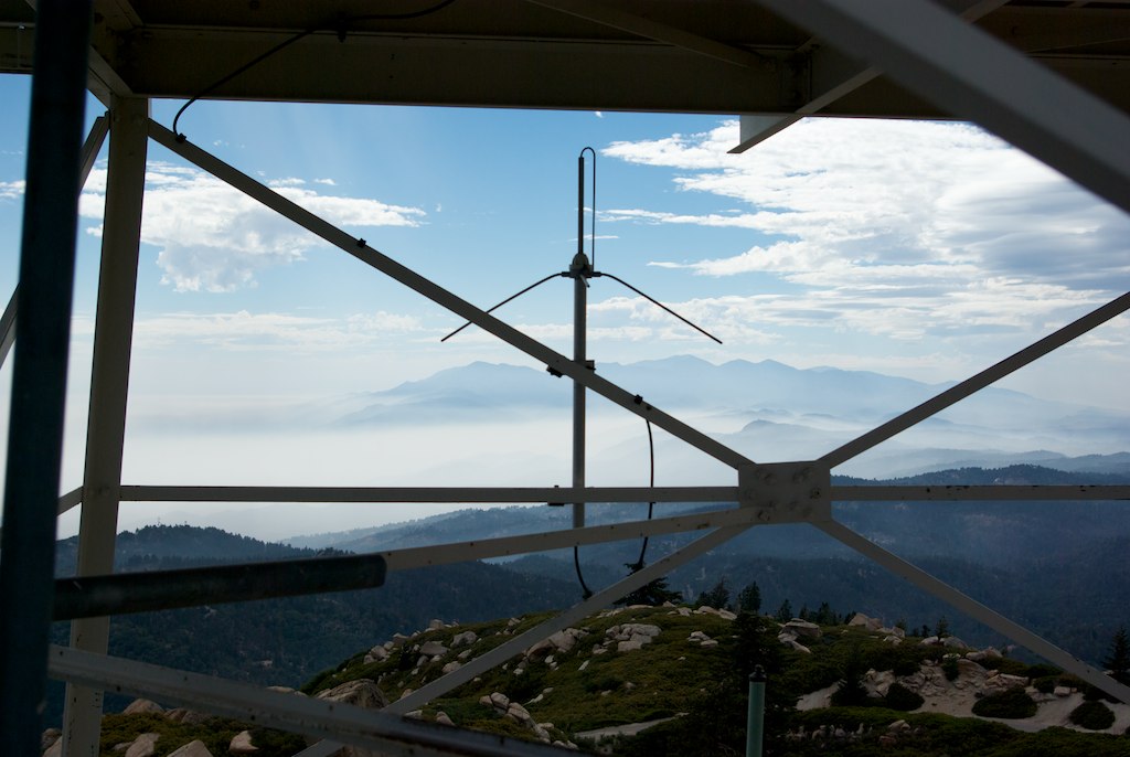
the view from here [7:52]
Bogart Park_0058

Seven Oaks Dam

San Bernardino Valley

Bogart Park_0059

Bogart Park_0041

Winter Pond, Oak Glen, CA 1-19-13

Original to these lands.

Bogart Park_0039
View from the ladder

Bogart Park_0003

Swim Lane

View from the patio. Good morning ya'll!!!

Twilight Rocks and Stream

Mill Creek - Mentone, CA, USA
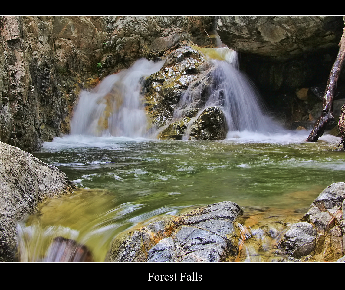
Forest Falls
Mill Creek - Mentone, CA, USA
Little Falls at Forest Falls

Snow Creek

Mill Creek Storm Sunset

Mill Creek and Storm III
Jenk's Lake

Mill Creek Canyon

Yucaipa/Mentone Fire
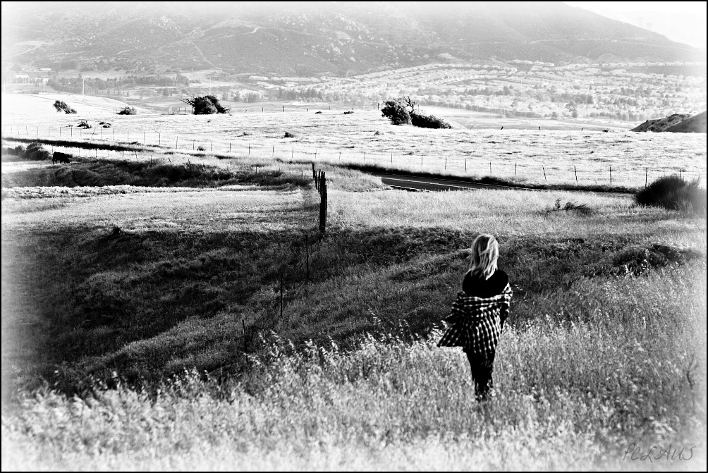
Romy in the field

Bastille Day, 2014

Feelings of Aqua
500D_20121013_0018.jpg
IMG_2708.jpg
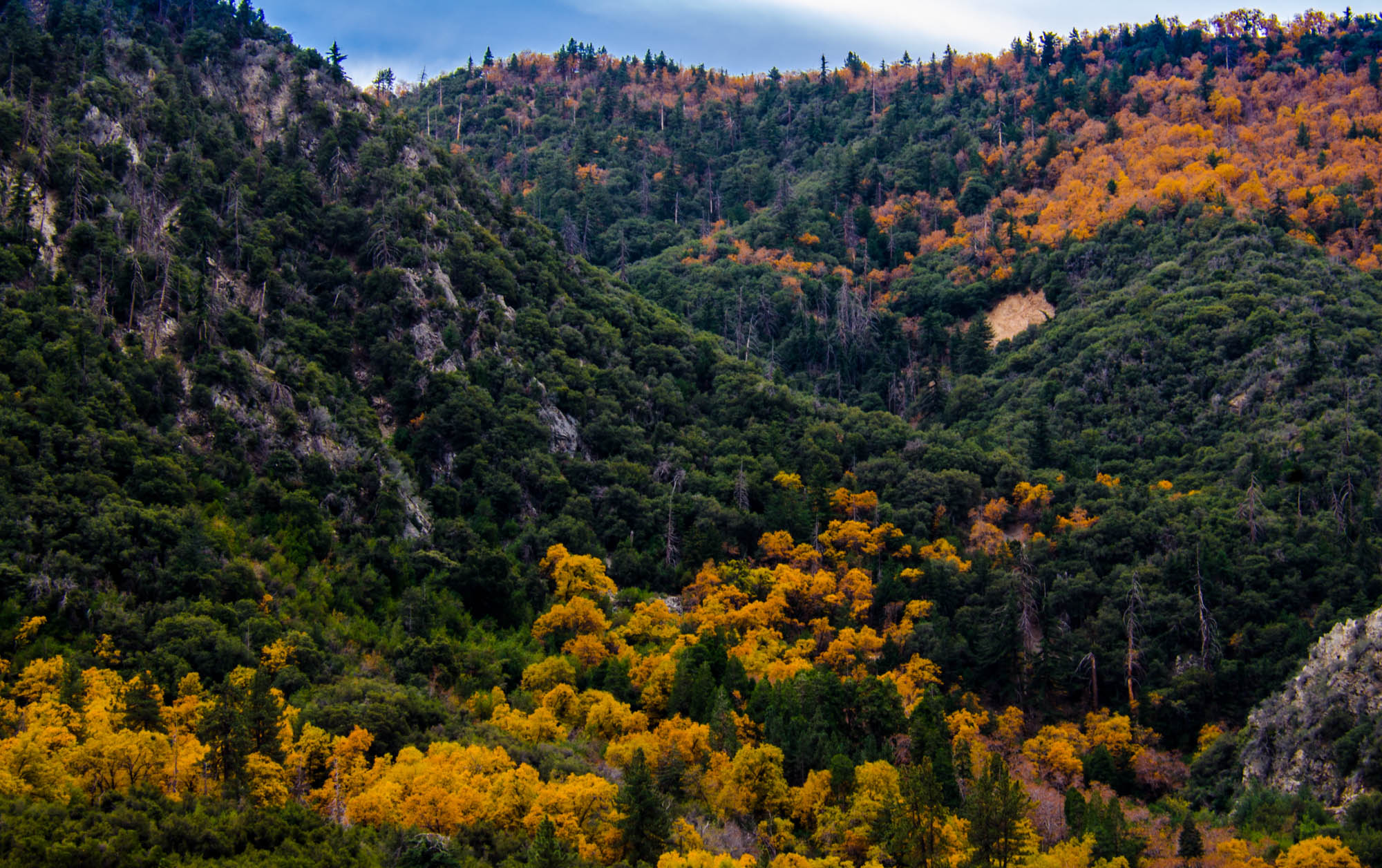
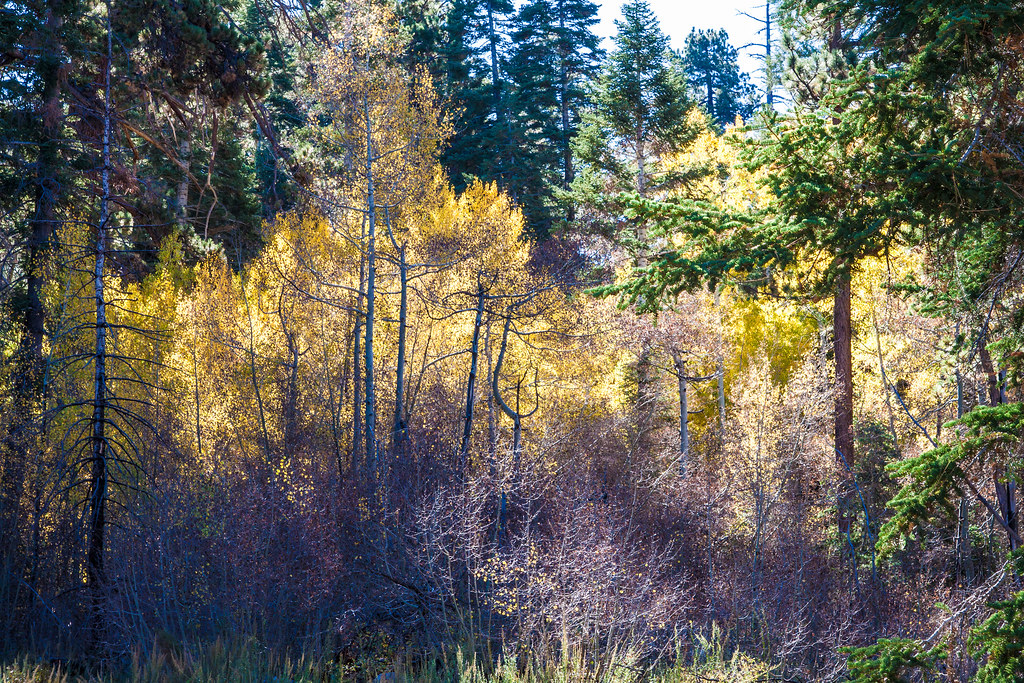
Orange and Green - San Bernardino National Forest, CA, USA
Topographic Map of Canyon Dr, Forest Falls, CA, USA
Find elevation by address:

Places near Canyon Dr, Forest Falls, CA, USA:
39655 Prospect Dr
9181 Corral Rd
9182 Wood Rd
Forest Falls
40956 Spruce Dr
Cedar Drive
9091 Cedar Dr
9412 Spring Dr
Big Falls Lodge
Oak Tree Village
38736 Oak Glen Rd
38480 Oak Glen Rd
39062 Oak Glen Rd
39570 Glen Rd
Oak Glen
35144 Harris Rd
39364 Oak Glen Rd
Oak Glen Christian Conference Center
39155 Harris Rd
9511 Rock Dr
Recent Searches:
- Elevation of 15th Ave SE, St. Petersburg, FL, USA
- Elevation of Beall Road, Beall Rd, Florida, USA
- Elevation of Leguwa, Nepal
- Elevation of County Rd, Enterprise, AL, USA
- Elevation of Kolchuginsky District, Vladimir Oblast, Russia
- Elevation of Shustino, Vladimir Oblast, Russia
- Elevation of Lampiasi St, Sarasota, FL, USA
- Elevation of Elwyn Dr, Roanoke Rapids, NC, USA
- Elevation of Congressional Dr, Stevensville, MD, USA
- Elevation of Bellview Rd, McLean, VA, USA