Elevation of Townsend Way, Yucaipa, CA, USA
Location: United States > California > San Bernardino County > Yucaipa >
Longitude: -117.04991
Latitude: 34.0433503
Elevation: 781m / 2562feet
Barometric Pressure: 92KPa
Elevation Map:
Satellite Map:
Related Photos:

Sunset Valley I

View from Buff Rd LE

Not Too Shabby

Early Morning View

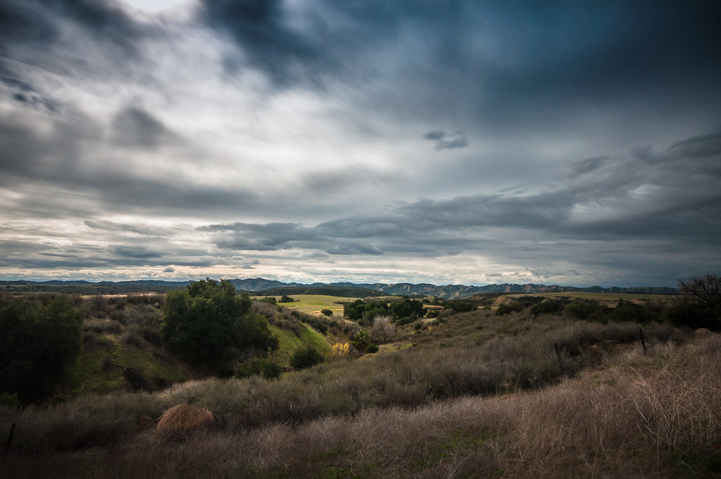
The Storms of Late Summer

Back From the Desert

Sound of Music at the Redlands Bowl...
the view from here [7:52]

Swim Lane

Panorama View

Punmpkin Hunting 10-26-13

A K Smiley Library, Redlands, CA 3-2012

Only the Best

Spring Valley
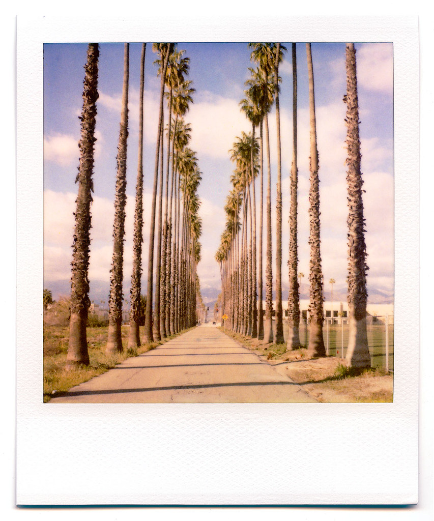
palm trees. north redlands, ca. 2011.

San Bernardino Valley

Day 347/365: I know I'm going where the sun always shines (explored #328 on June 8, 2009)

7 Oaks Dam

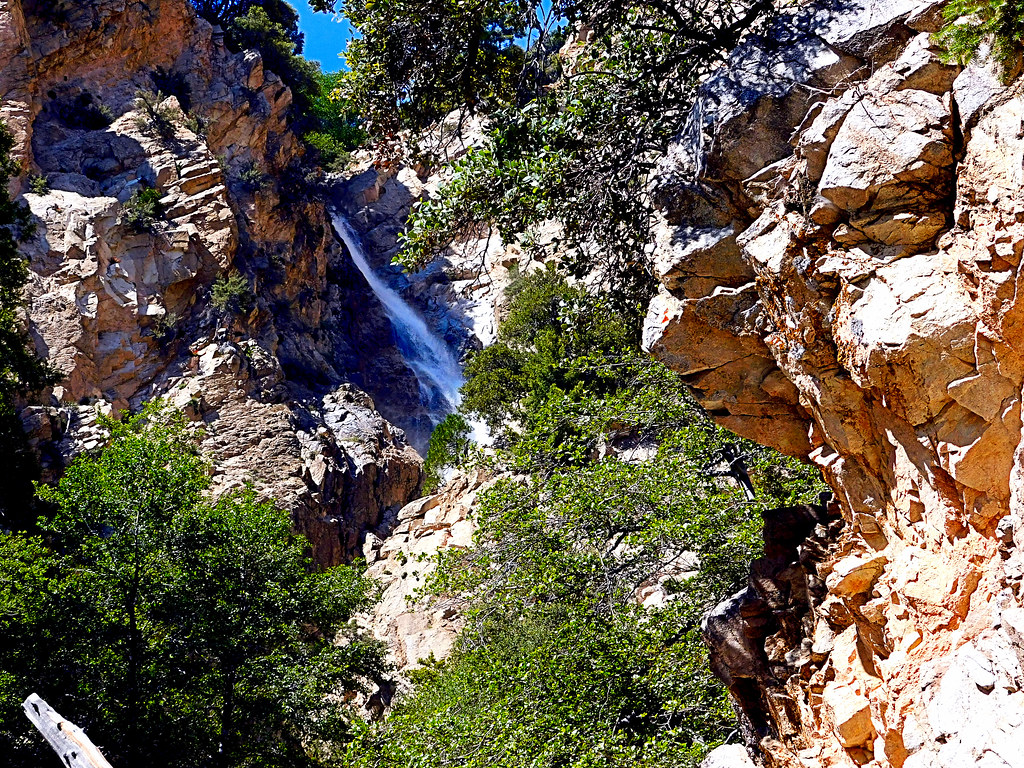
Big Falls Stream - Forest Falls, CA, USA

Santa Ana River Valley
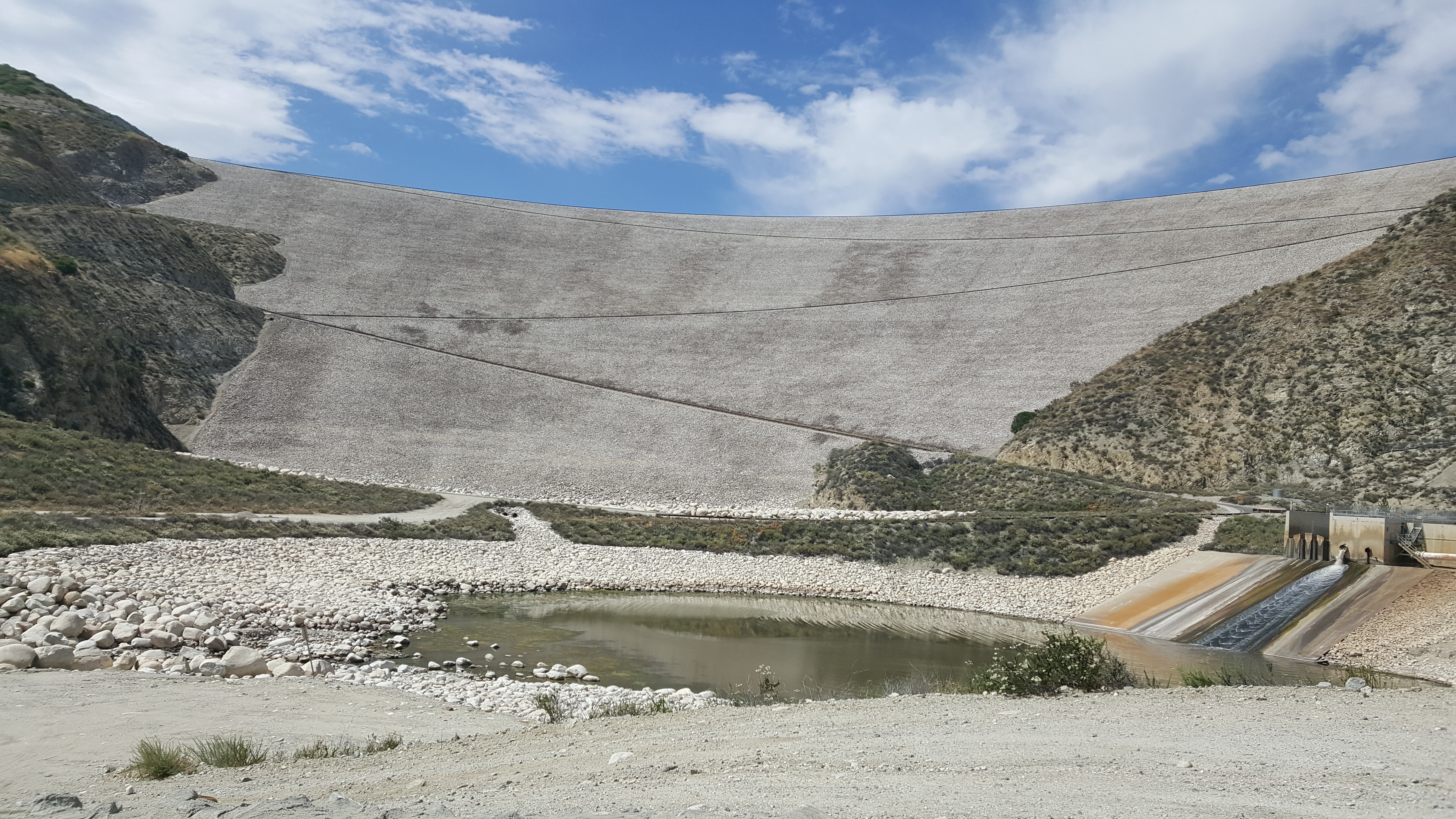
Seven Oaks Dam

Little San Gorgonio Peak

Mill Creek Canyon
Upper Forest Falls

Mill Creek Canyon

Lumonitious Landscape

Spring Trail II

Palms, Oranges and San Gabriel Mountains, CA Christmas 2016

New Season

Fireside, the Burning

Hills from Jack Rabbit Trail

Little San Gorgonio Peak, Highway 38, California

Snaking Up Beaumont

Mill Creek Canyon

Lush Hills

Beaumont, California

Mill Creek Canyon
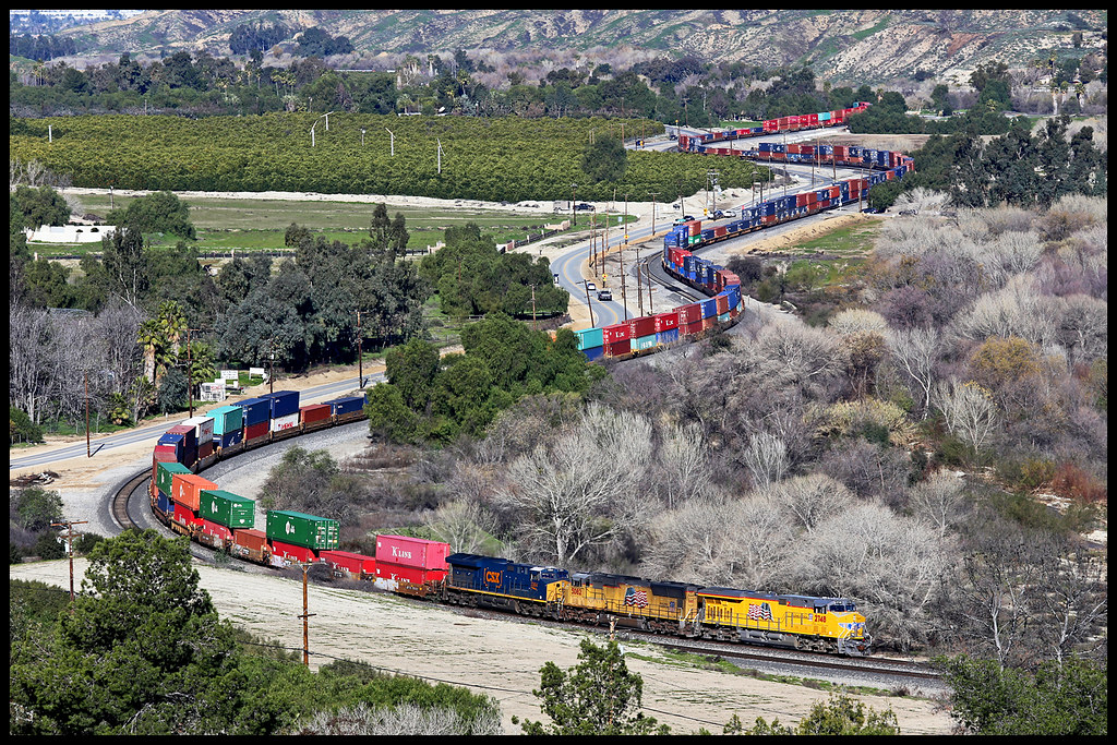
UP 2748

San Gabriel Mountains over Inland Empire, CA 2016 (In EXPLORE)
Topographic Map of Townsend Way, Yucaipa, CA, USA
Find elevation by address:

Places near Townsend Way, Yucaipa, CA, USA:
11748 3rd St
Preston Lane
34329 Oakwood Ct
Avena Way
34625 Cedar Ave
34227 Pinehurst Dr
34930 Amber Leaf Way
35067 Castle Pines Dr
12008 2nd St
35120 Date Ave
Yucaipa
34910 Shadow Wood Dr
35191 Persimmon Ave
35213 Date Ave
Sunnyside Drive
12220 5th St
33885 Cansler Way
12406 3rd St
12367 4th St
11050 Bryant St
Recent Searches:
- Elevation of Gateway Blvd SE, Canton, OH, USA
- Elevation of East W.T. Harris Boulevard, E W.T. Harris Blvd, Charlotte, NC, USA
- Elevation of West Sugar Creek, Charlotte, NC, USA
- Elevation of Wayland, NY, USA
- Elevation of Steadfast Ct, Daphne, AL, USA
- Elevation of Lagasgasan, X+CQH, Tiaong, Quezon, Philippines
- Elevation of Rojo Ct, Atascadero, CA, USA
- Elevation of Flagstaff Drive, Flagstaff Dr, North Carolina, USA
- Elevation of Avery Ln, Lakeland, FL, USA
- Elevation of Woolwine, VA, USA