Elevation of Avena Way, Yucaipa, CA, USA
Location: United States > California > San Bernardino County > Yucaipa >
Longitude: -117.05284
Latitude: 34.0381526
Elevation: 772m / 2533feet
Barometric Pressure: 92KPa
Elevation Map:
Satellite Map:
Related Photos:
7 Oaks Dam

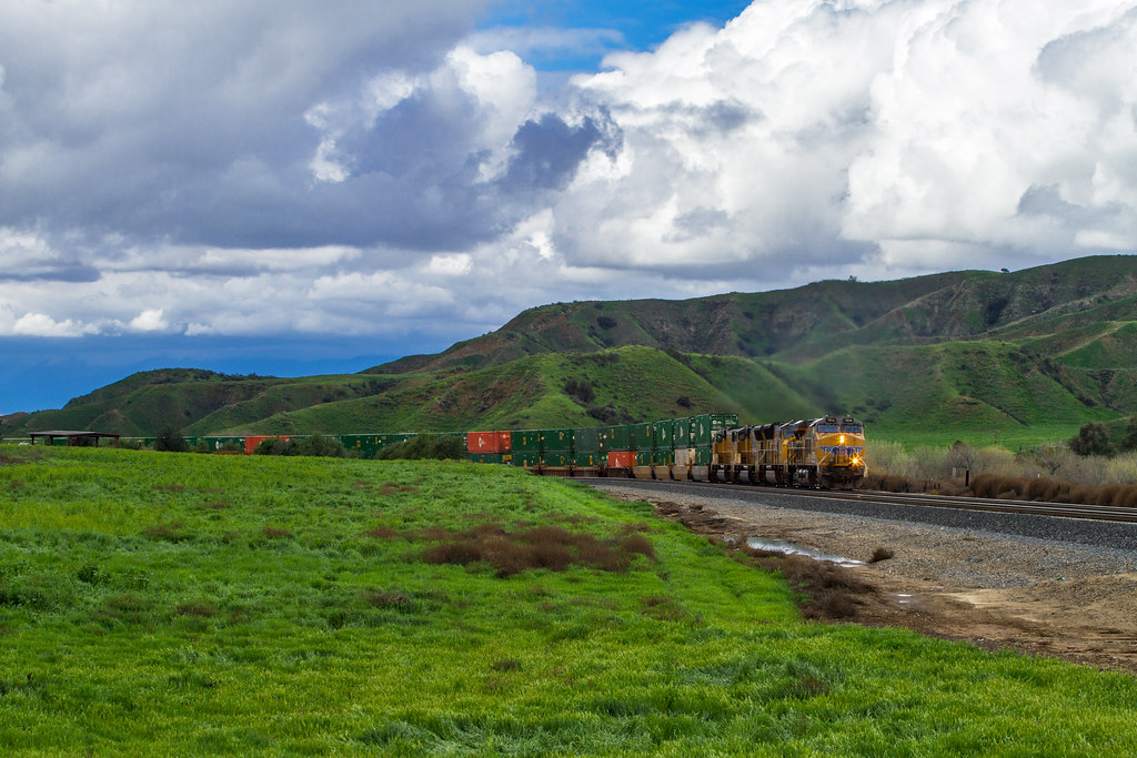
ATK 714E @ El Casco

Santa Ana River Valley

Seven Oaks Dam

San Bernardino Valley

Back From the Desert

Not Too Shabby
Day 347/365: I know I'm going where the sun always shines (explored #328 on June 8, 2009)

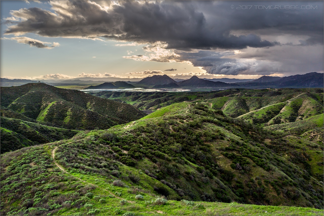
Mountains from Panorama Point 11-18-12
Lake Perris, Surrounded by Hills and Mountains

"Fall has always been my favorite season

Swim Lane

Living Large, Canyon View, Redlands 5-19-13
Oak Glen Harvest Time 11-10-12
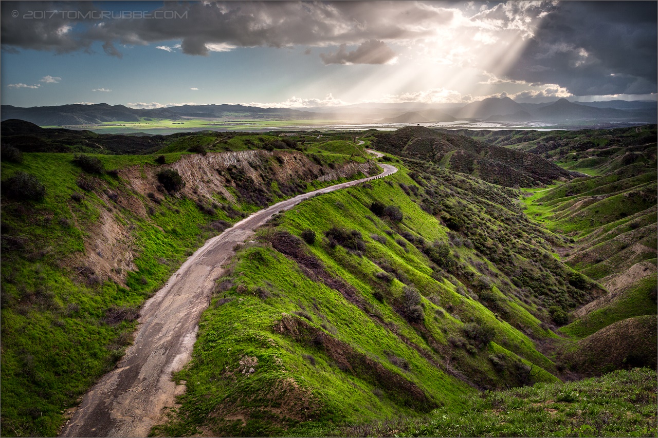
Winding Road up Morton Peak
1 of (7) LOWER Falls- Valley of Falls, Mill Creek Canyon, San Bernadino Mountains

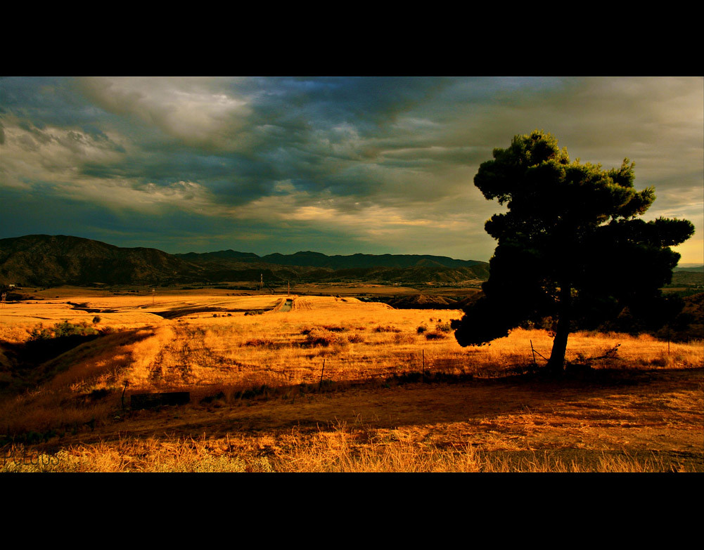
Sunset Valley I

View from Buff Rd LE

Big Falls Stream - Forest Falls, CA, USA

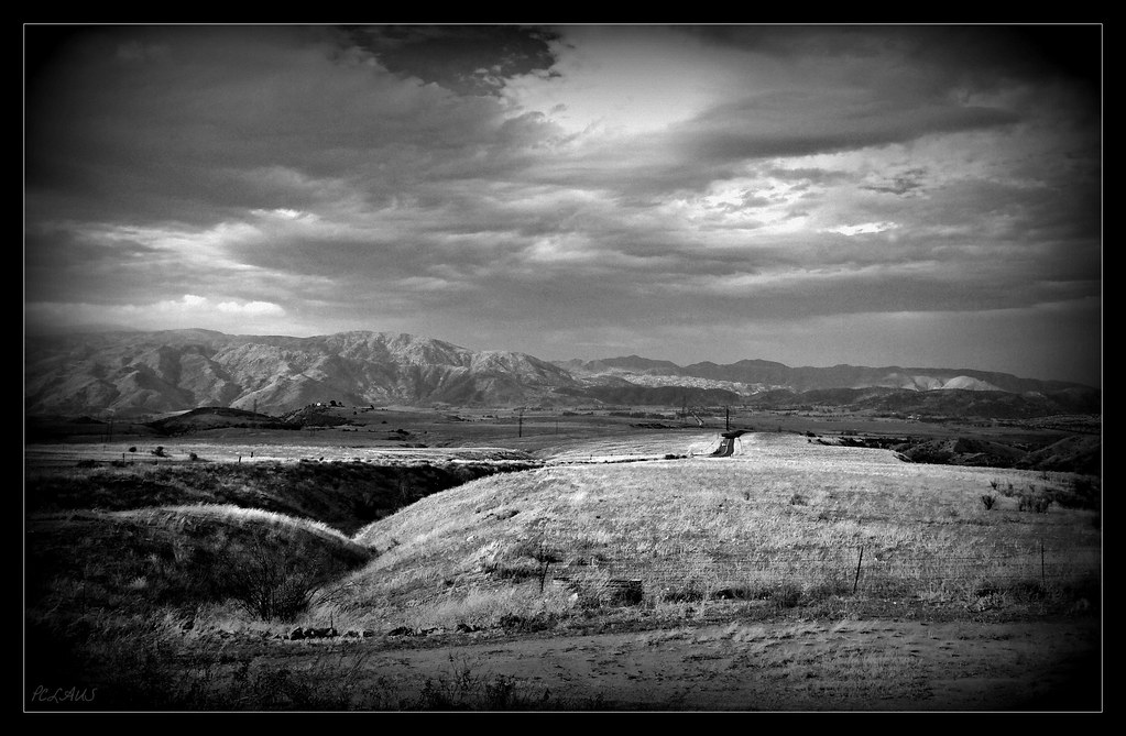
Valley View

Shooting Spot in the Hills

Hills from Jack Rabbit Trail

Yucaipa/Mentone Fire

River Rock - Forest Falls, CA, USA
Forest Falls
Mill Creek in Forest Falls, CA, USA
Lush Hills

San Timoteo Nature Trail

palm trees. north redlands, ca. 2011.

Snow Creek

UP 7492
Reach - Forest Falls, CA, USA
Jack Rabbit Trail Road
Jack Rabbit Storm

Palm Springs - 2017
Spring Trail

UP 7939

Twilight Rocks and Stream
Lonely Tree
Bastille Day, 2014
Topographic Map of Avena Way, Yucaipa, CA, USA
Find elevation by address:

Places near Avena Way, Yucaipa, CA, USA:
34625 Cedar Ave
11748 3rd St
34227 Pinehurst Dr
34329 Oakwood Ct
11563 Townsend Way
Preston Lane
35067 Castle Pines Dr
12220 5th St
12008 2nd St
12367 4th St
Pecan Avenue
Yucaipa
12406 3rd St
33885 Cansler Way
Lily Road
12375 6th St
33925 Pinehurst Dr
34930 Amber Leaf Way
33800 Chapman Heights Rd
34069 Avenue E
Recent Searches:
- Elevation of Royal Ontario Museum, Queens Park, Toronto, ON M5S 2C6, Canada
- Elevation of Groblershoop, South Africa
- Elevation of Power Generation Enterprises | Industrial Diesel Generators, Oak Ave, Canyon Country, CA, USA
- Elevation of Chesaw Rd, Oroville, WA, USA
- Elevation of N, Mt Pleasant, UT, USA
- Elevation of 6 Rue Jules Ferry, Beausoleil, France
- Elevation of Sattva Horizon, 4JC6+G9P, Vinayak Nagar, Kattigenahalli, Bengaluru, Karnataka, India
- Elevation of Great Brook Sports, Gold Star Hwy, Groton, CT, USA
- Elevation of 10 Mountain Laurels Dr, Nashua, NH, USA
- Elevation of 16 Gilboa Ln, Nashua, NH, USA