Elevation of Castle Pines Dr, Yucaipa, CA, USA
Location: United States > California > San Bernardino County > Yucaipa >
Longitude: -117.05930
Latitude: 34.0398849
Elevation: 745m / 2444feet
Barometric Pressure: 93KPa
Elevation Map:
Satellite Map:
Related Photos:

Sunset Valley I

View from Buff Rd LE

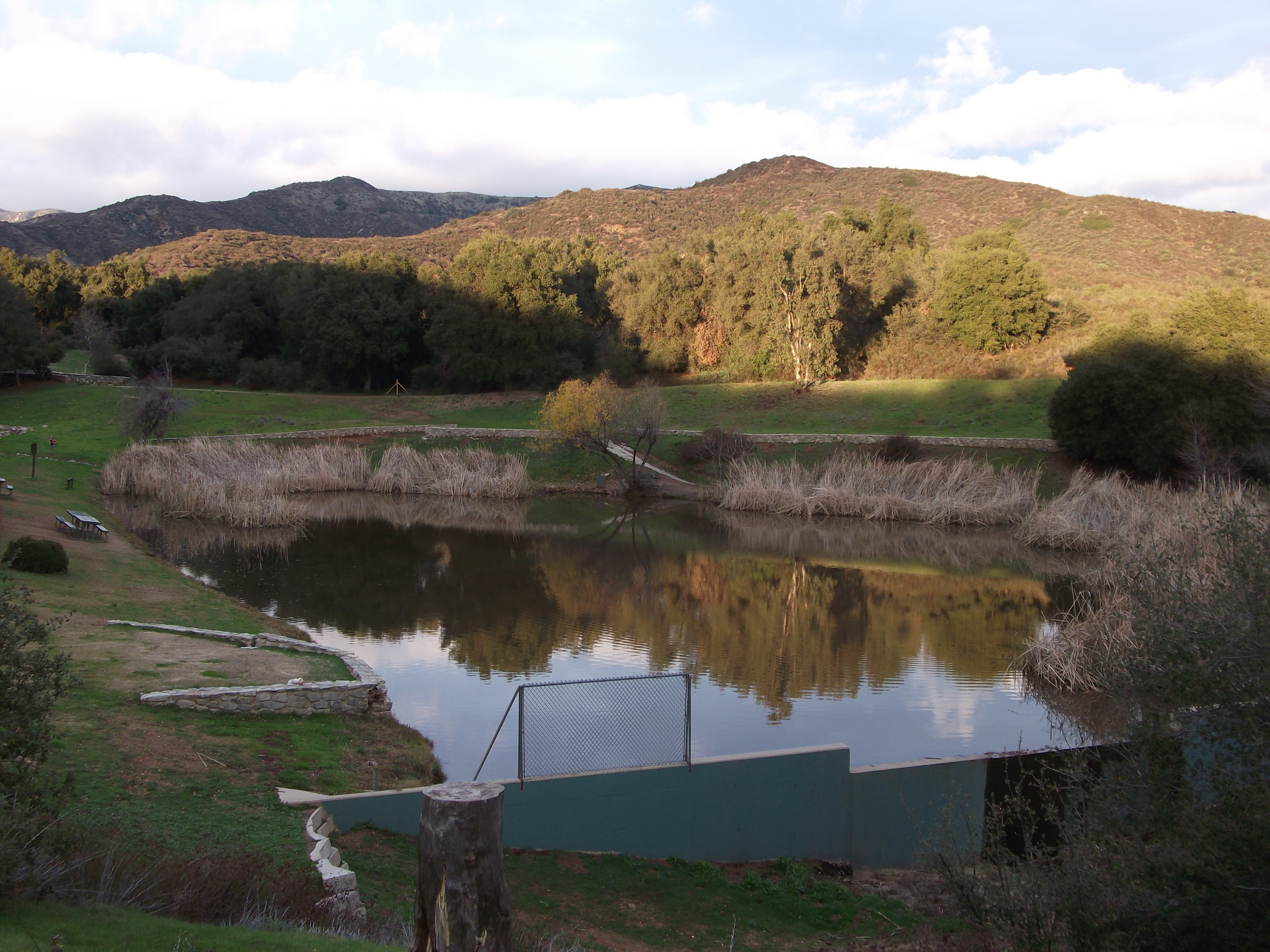
Bogart Park_0068

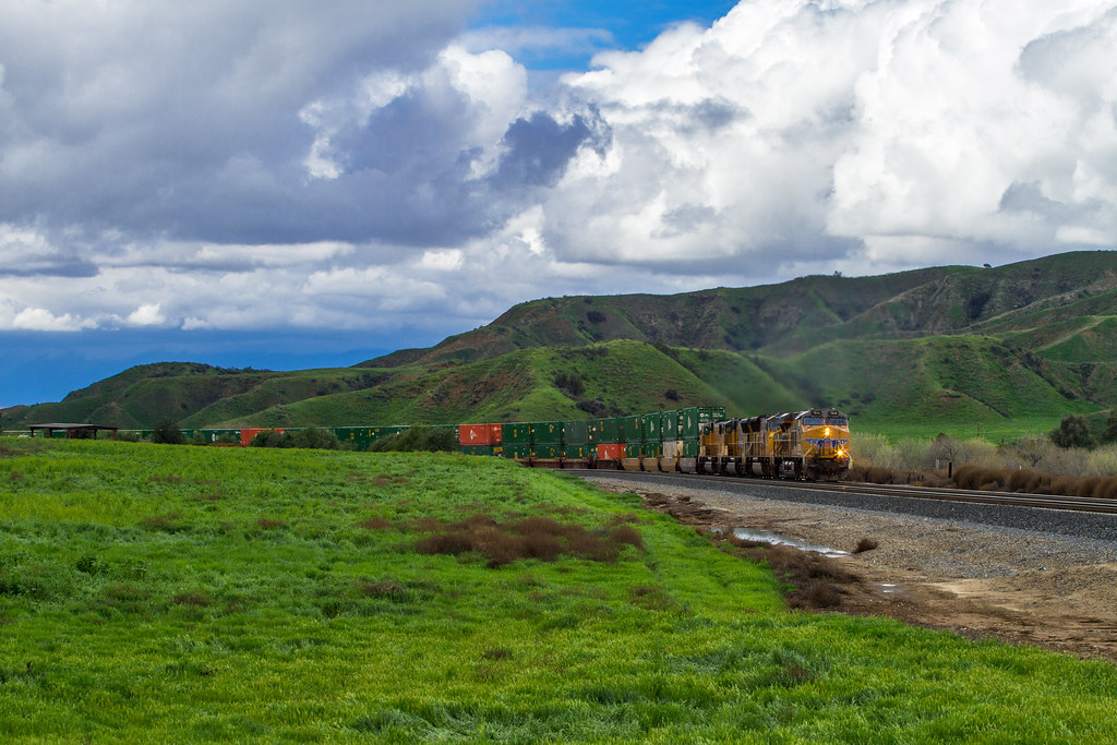
ATK 714E @ El Casco

Santa Ana River Valley

Big Falls Creek Long Exposure

Shooting Spot in the Hills

the view from here [7:52]

sunny rear view

Back From the Desert

Bogart Park_0059

What a view this morning!

Not Too Shabby

Bogart Park_0041

Original to these lands.

Live Oak Farms, Wagon 12-9-12

Mountains from Panorama Point 11-18-12

Bogart Park_0039

Bogart Park_0003

View from the patio. Good morning ya'll!!!
Bogart Park_0069

Snow Creek

UP 7492

Twilight Rocks and Stream

Snaking Up Beaumont

Yucaipa/Mentone Fire

Mill Creek Canyon

Mill Creek Storm Sunset

Mill Creek and Storm III

Mill Creek - Mentone, CA, USA

Morey Mansion of Redlands
Sunsets are beautiful

Fire under a Full Moon II

Sunset Valley II
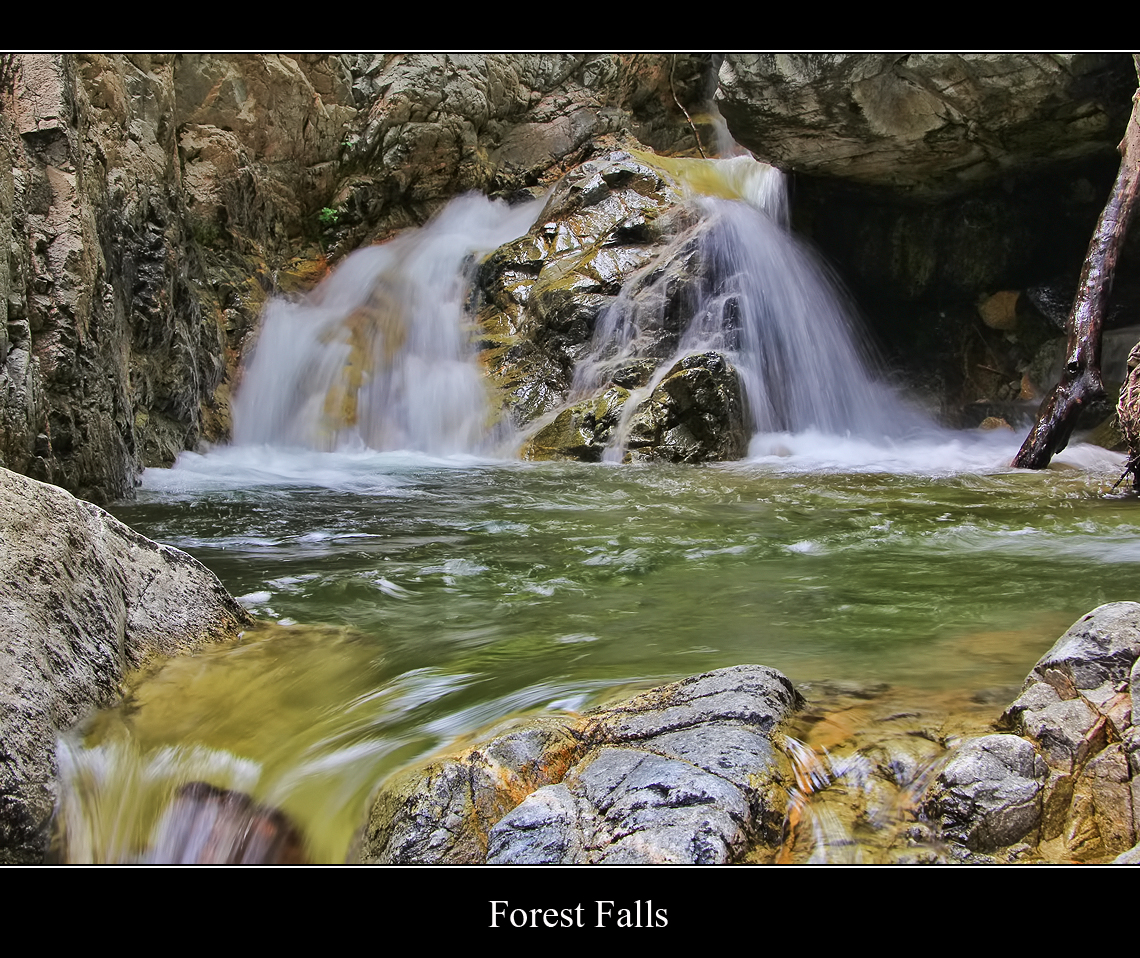
Forest Falls

Yucaipa California

Valley View
Lush Hills

Palm Springs - 2017
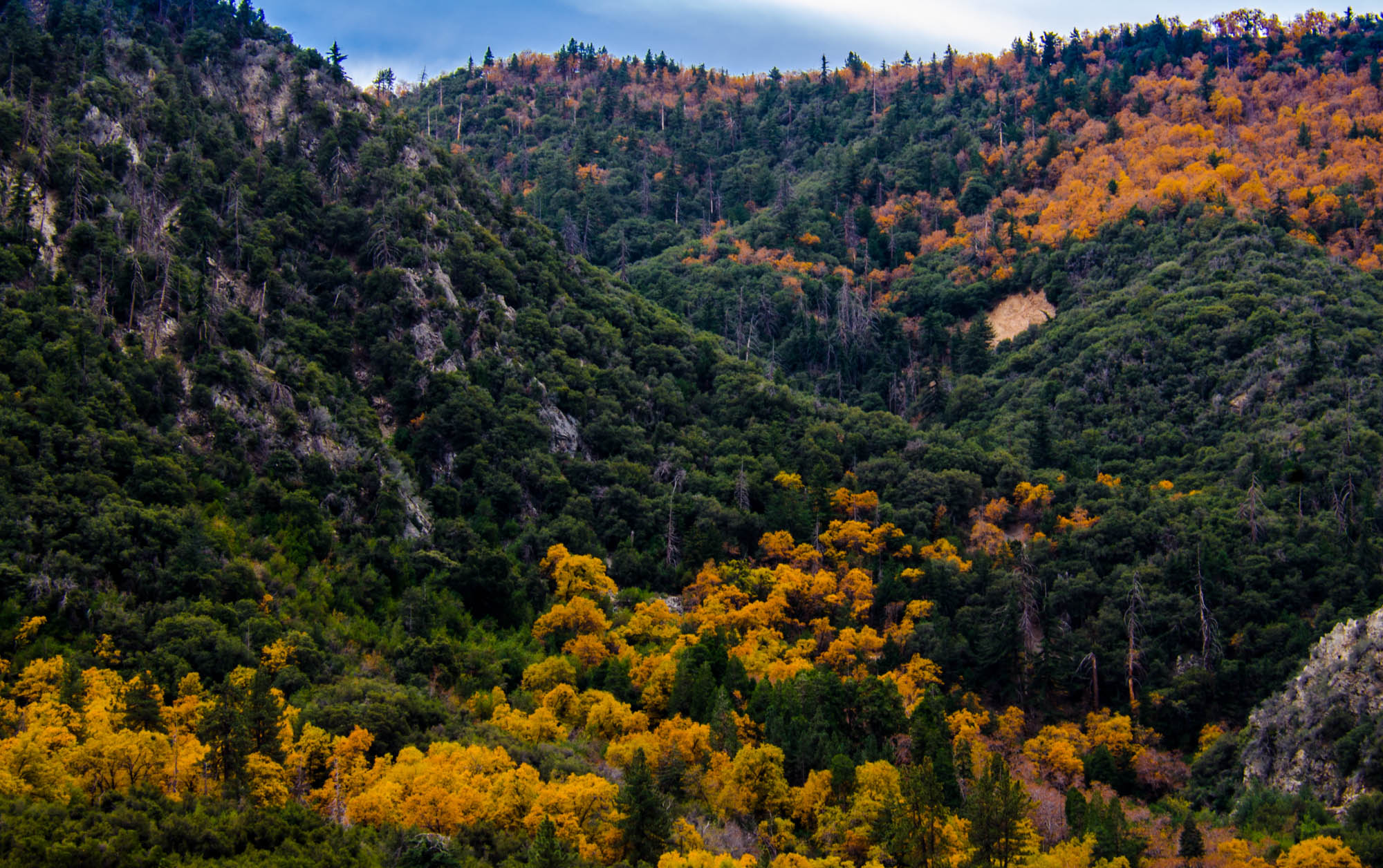
Orange and Green - San Bernardino National Forest, CA, USA
Topographic Map of Castle Pines Dr, Yucaipa, CA, USA
Find elevation by address:

Places near Castle Pines Dr, Yucaipa, CA, USA:
34227 Pinehurst Dr
33885 Cansler Way
34329 Oakwood Ct
Avena Way
33925 Pinehurst Dr
12220 5th St
33800 Chapman Heights Rd
Lily Road
11563 Townsend Way
11748 3rd St
34625 Cedar Ave
12375 6th St
Pecan Avenue
Preston Lane
34069 Avenue E
12367 4th St
12626 6th St
12406 3rd St
12008 2nd St
Yucaipa
Recent Searches:
- Elevation of 3 Nestling Wood Dr, Long Valley, NJ, USA
- Elevation of Ilungu, Tanzania
- Elevation of Yellow Springs Road, Yellow Springs Rd, Chester Springs, PA, USA
- Elevation of Rēzekne Municipality, Latvia
- Elevation of Plikpūrmaļi, Vērēmi Parish, Rēzekne Municipality, LV-, Latvia
- Elevation of 2 Henschke Ct, Caboolture QLD, Australia
- Elevation of Redondo Ave, Long Beach, CA, USA
- Elevation of Sadovaya Ulitsa, 20, Rezh, Sverdlovskaya oblast', Russia
- Elevation of Ulitsa Kalinina, 79, Rezh, Sverdlovskaya oblast', Russia
- Elevation of 72-31 Metropolitan Ave, Middle Village, NY, USA