Elevation of Cedar Ave, Yucaipa, CA, USA
Location: United States > California > San Bernardino County > Yucaipa >
Longitude: -117.04911
Latitude: 34.036707
Elevation: 787m / 2582feet
Barometric Pressure: 92KPa
Elevation Map:
Satellite Map:
Related Photos:

View from Buff Rd LE

palm trees. north redlands, ca. 2011.

ATK 714E @ El Casco

Valley View

Big Falls Stream - Forest Falls, CA, USA

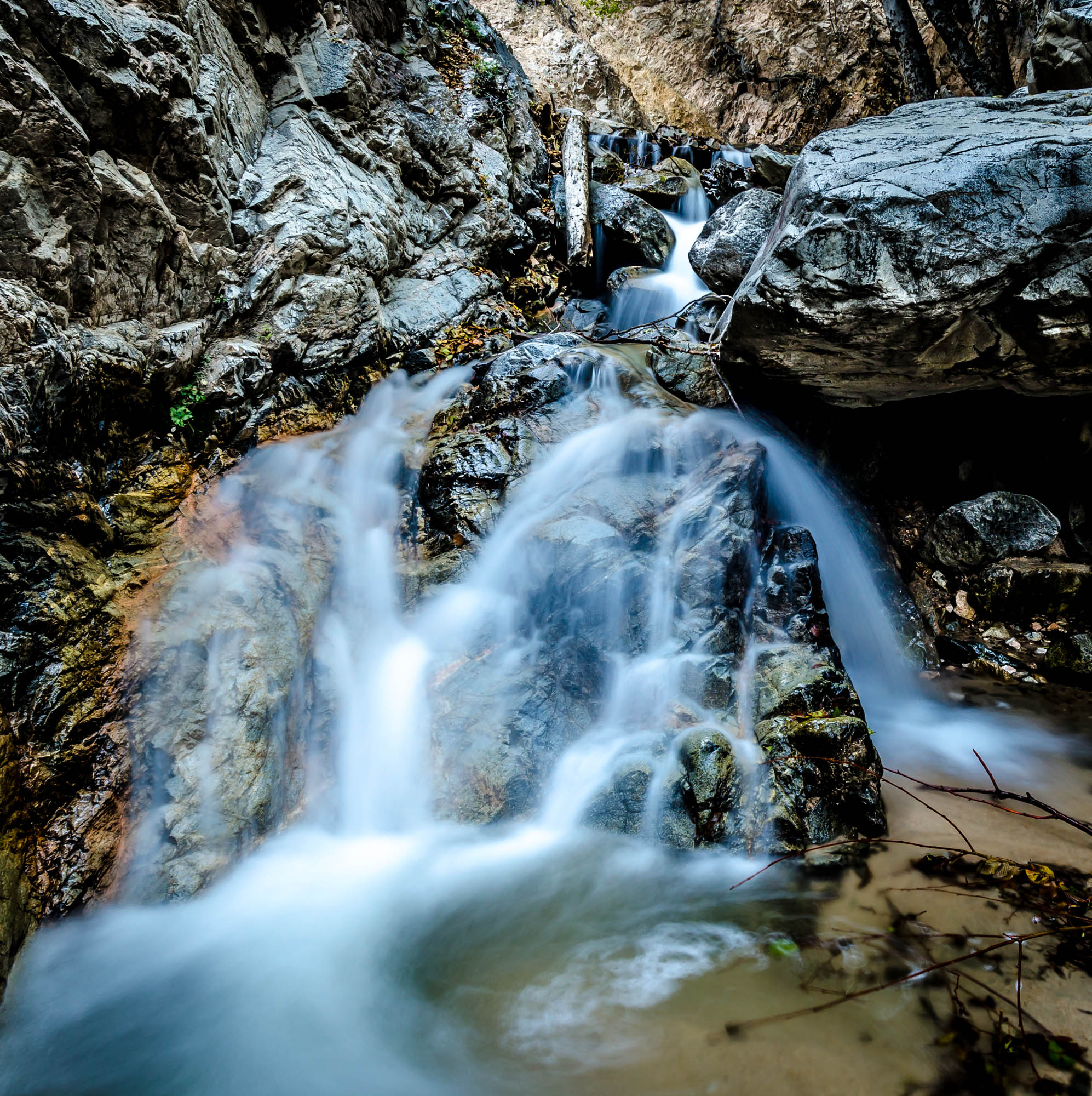
Big Falls Creek Long Exposure

Shooting Spot in the Hills

the view from here [7:52]

sunny rear view

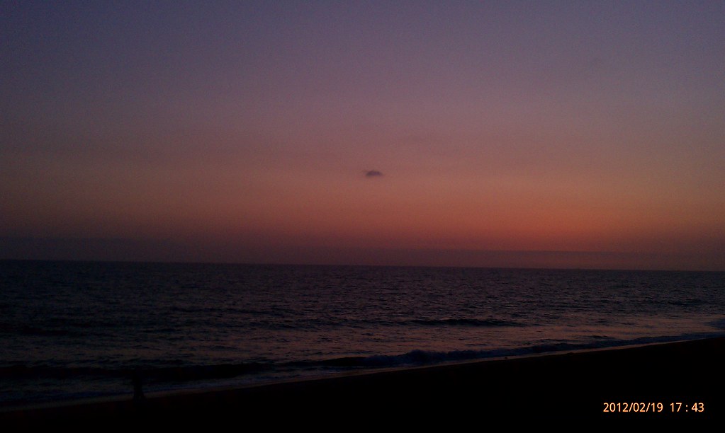
San Bernardino Valley

Seven Oaks Dam

Winter Pond, Oak Glen, CA 1-19-13

What a view this morning!

Not Too Shabby

palm trees. north redlands, ca. 2011.

Original to these lands.

Live Oak Farms, Wagon 12-9-12

Mountains from Panorama Point 11-18-12

Swim Lane

View from the patio. Good morning ya'll!!!

Living Large, Canyon View, Redlands 5-19-13

Snow Creek

San Timoteo Nature Trail

palm trees. north redlands, ca. 2011.

UP 7492

Twilight Rocks and Stream

Yucaipa/Mentone Fire

Lonely Tree

Spring Valley

Mill Creek Canyon

Mill Creek Storm Sunset

Mill Creek and Storm III

Bastille Day, 2014

Mill Creek - Mentone, CA, USA

Morey Mansion of Redlands
Sunsets are beautiful

Fire under a Full Moon II

Sunset Valley II
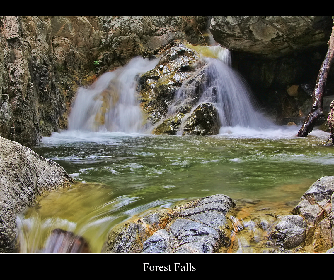
Forest Falls
Big Falls Stream - Forest Falls, CA, USA

Yucaipa California
Topographic Map of Cedar Ave, Yucaipa, CA, USA
Find elevation by address:

Places near Cedar Ave, Yucaipa, CA, USA:
11748 3rd St
Avena Way
Preston Lane
12008 2nd St
11563 Townsend Way
Yucaipa
12406 3rd St
12367 4th St
34227 Pinehurst Dr
34329 Oakwood Ct
12220 5th St
35067 Castle Pines Dr
Pecan Avenue
35120 Date Ave
34930 Amber Leaf Way
35213 Date Ave
35191 Persimmon Ave
35255 Beech Ave
12375 6th St
Lily Road
Recent Searches:
- Elevation of Royal Ontario Museum, Queens Park, Toronto, ON M5S 2C6, Canada
- Elevation of Groblershoop, South Africa
- Elevation of Power Generation Enterprises | Industrial Diesel Generators, Oak Ave, Canyon Country, CA, USA
- Elevation of Chesaw Rd, Oroville, WA, USA
- Elevation of N, Mt Pleasant, UT, USA
- Elevation of 6 Rue Jules Ferry, Beausoleil, France
- Elevation of Sattva Horizon, 4JC6+G9P, Vinayak Nagar, Kattigenahalli, Bengaluru, Karnataka, India
- Elevation of Great Brook Sports, Gold Star Hwy, Groton, CT, USA
- Elevation of 10 Mountain Laurels Dr, Nashua, NH, USA
- Elevation of 16 Gilboa Ln, Nashua, NH, USA