Elevation of Amber Leaf Way, Yucaipa, CA, USA
Longitude: -117.04159
Latitude: 34.046528
Elevation: 813m / 2667feet
Barometric Pressure: 92KPa
Elevation Map:
Satellite Map:
Related Photos:
Cresting the Hill

View from Buff Rd LE

Erosion Scar [EXPLORED 5/26/17 - highest position #327]

Spring Valley

Day 347/365: I know I'm going where the sun always shines (explored #328 on June 8, 2009)

Big Falls Stream - Forest Falls, CA, USA

San Bernardino Valley
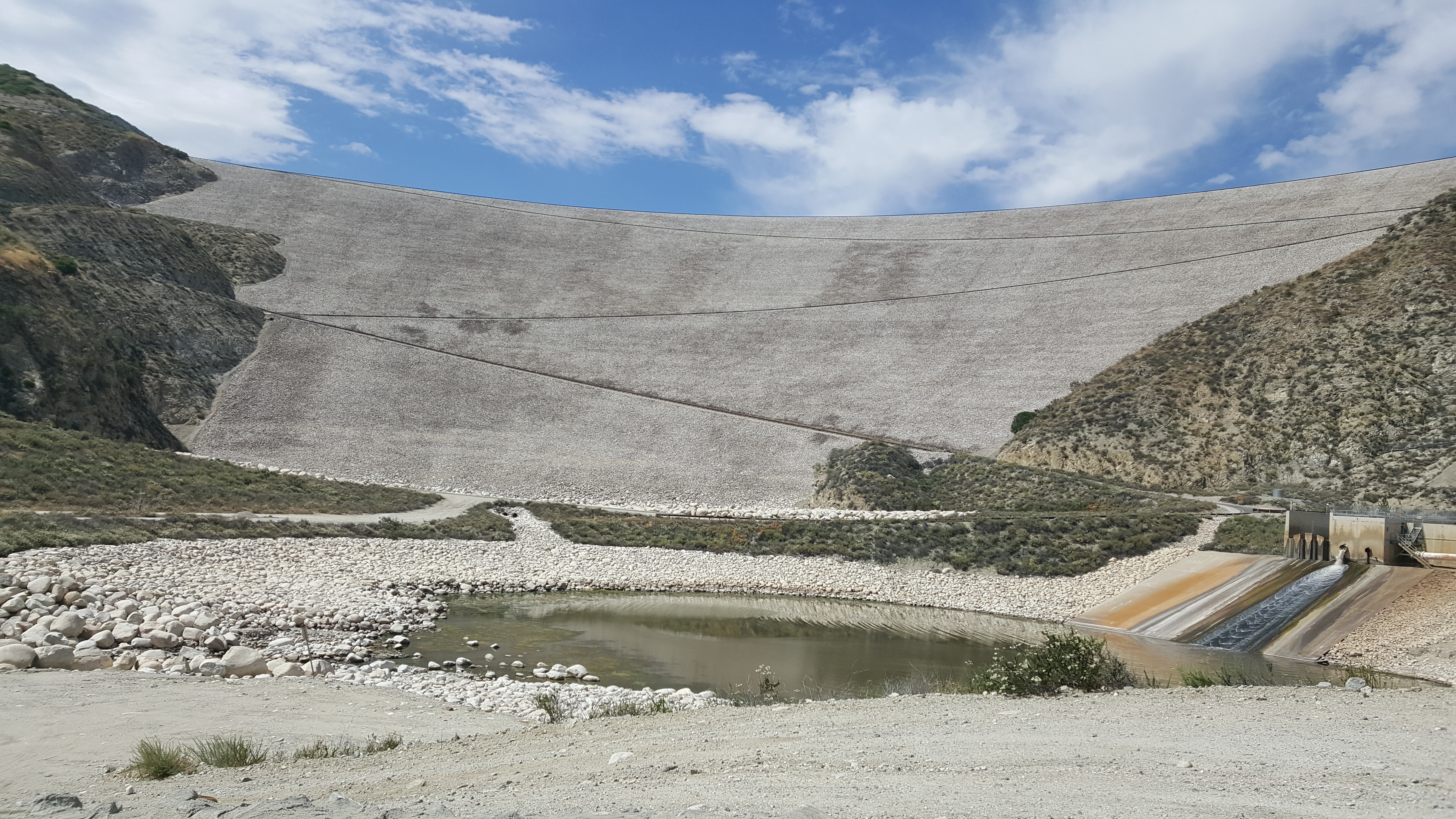
Seven Oaks Dam
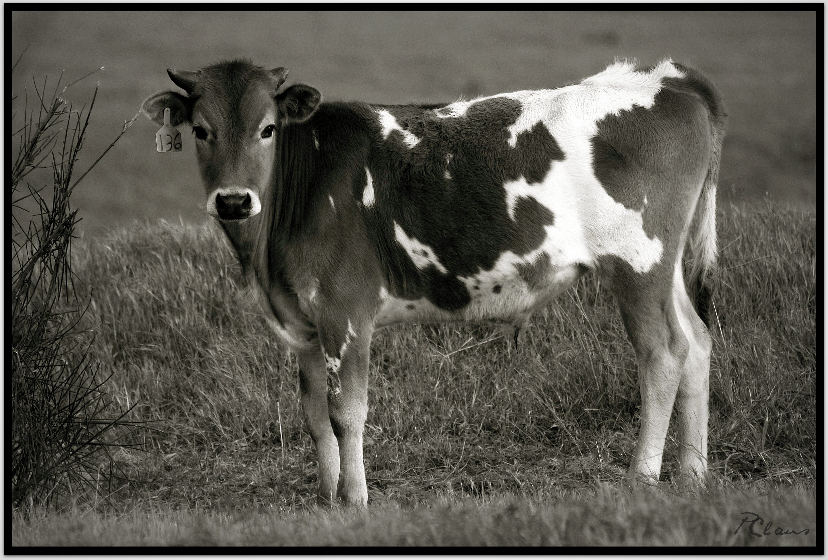
Sweet: Number 136.

Not Too Shabby

7 Oaks Dam

Santa Ana River Valley

Lake Perris, Surrounded by Hills and Mountains

Back From the Desert

Fire/No Fire

Arched Doorway, Redlands Alleys 10-27-13s

Daylillies (2) 7-7-12

135 View across the way of the upper Yucaipa Ridge on the Momyer Trail

Moreno Valley, San Bernardino County, California

Ms. Brown's Class

Swim Lane
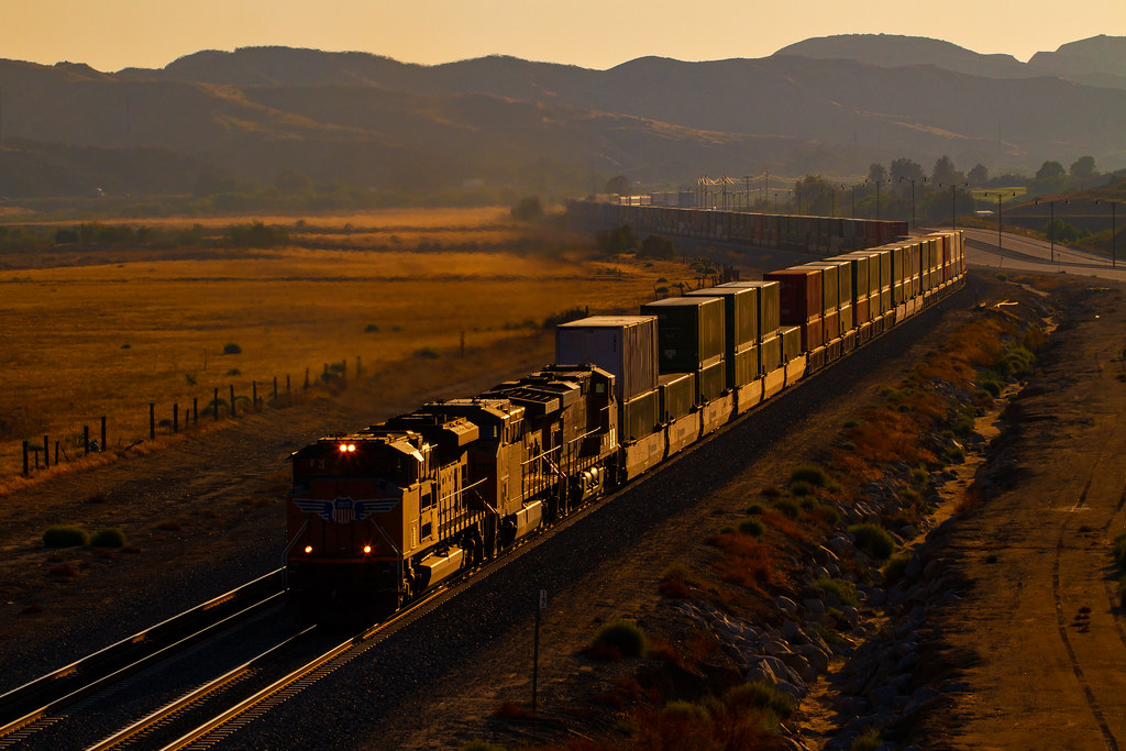
UP 2748

Lush Hills

Lumonitious Landscape

Sunset Valley I

Spring Trail II

New Season

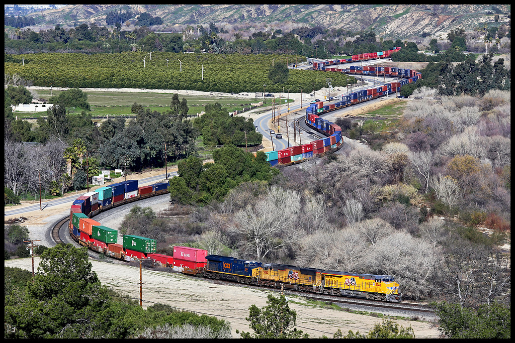
UP 7492

Mill Creek and Storm III

Mill Creek Storm Sunset

Fireside, the Burning

Mill Creek Canyon

Palms, Oranges and San Gabriel Mountains, CA Christmas 2016
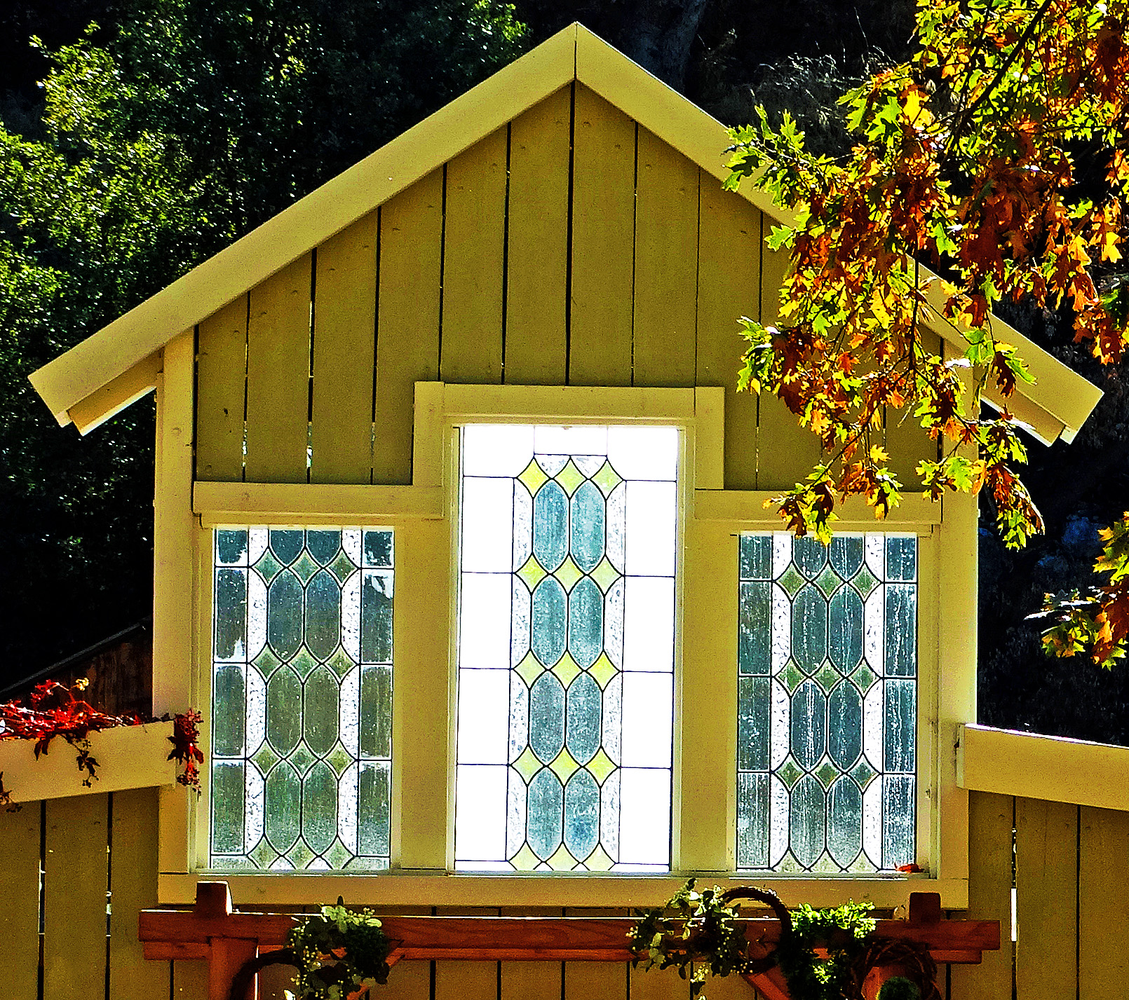
Stained Glass Autumn, Oak Glen, CA 10-21
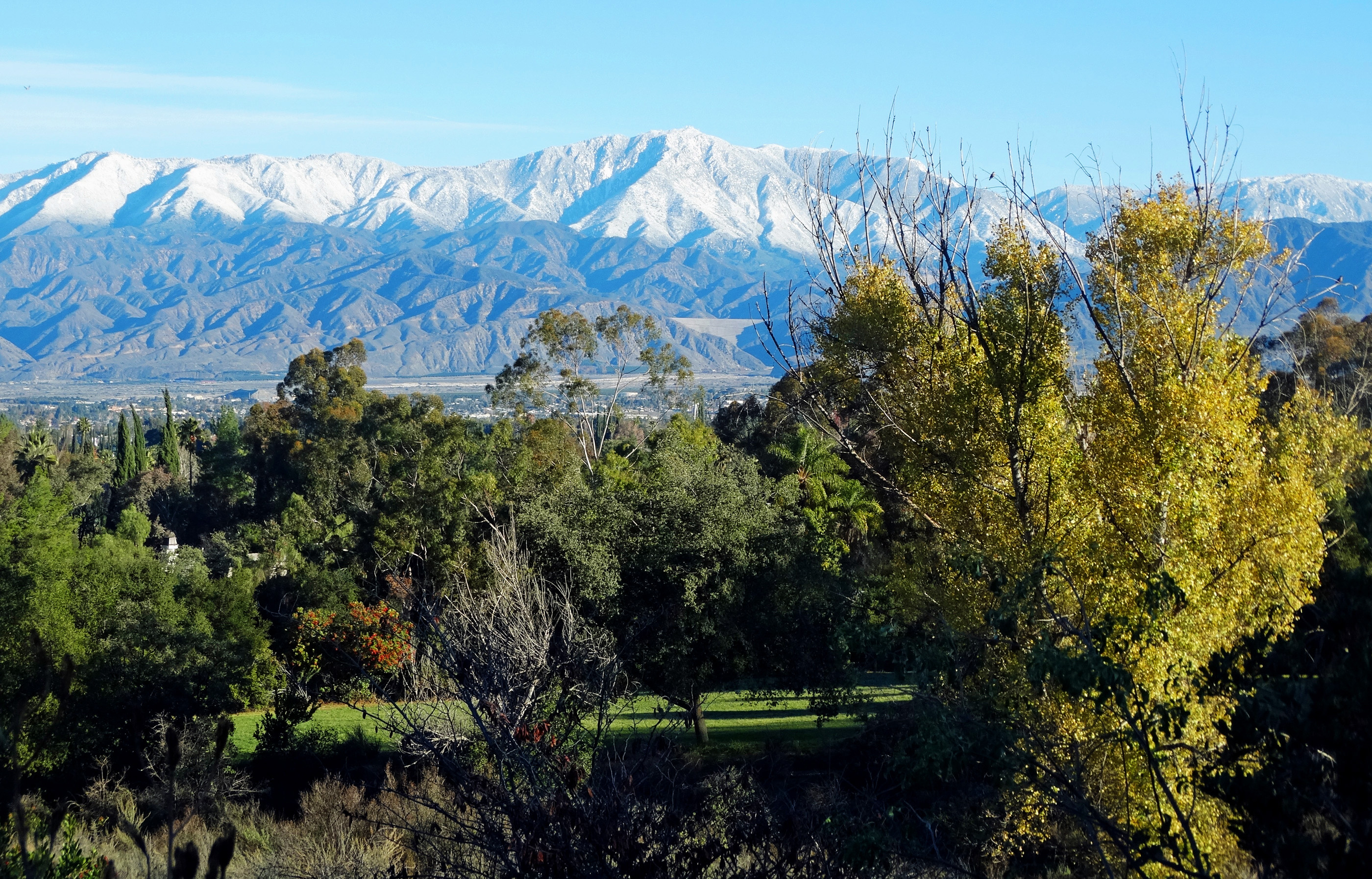
San Bernardino Mountains, Christmas 2016

Sunset Valley II

Reach - Forest Falls, CA, USA

Valentine's Day, 2016
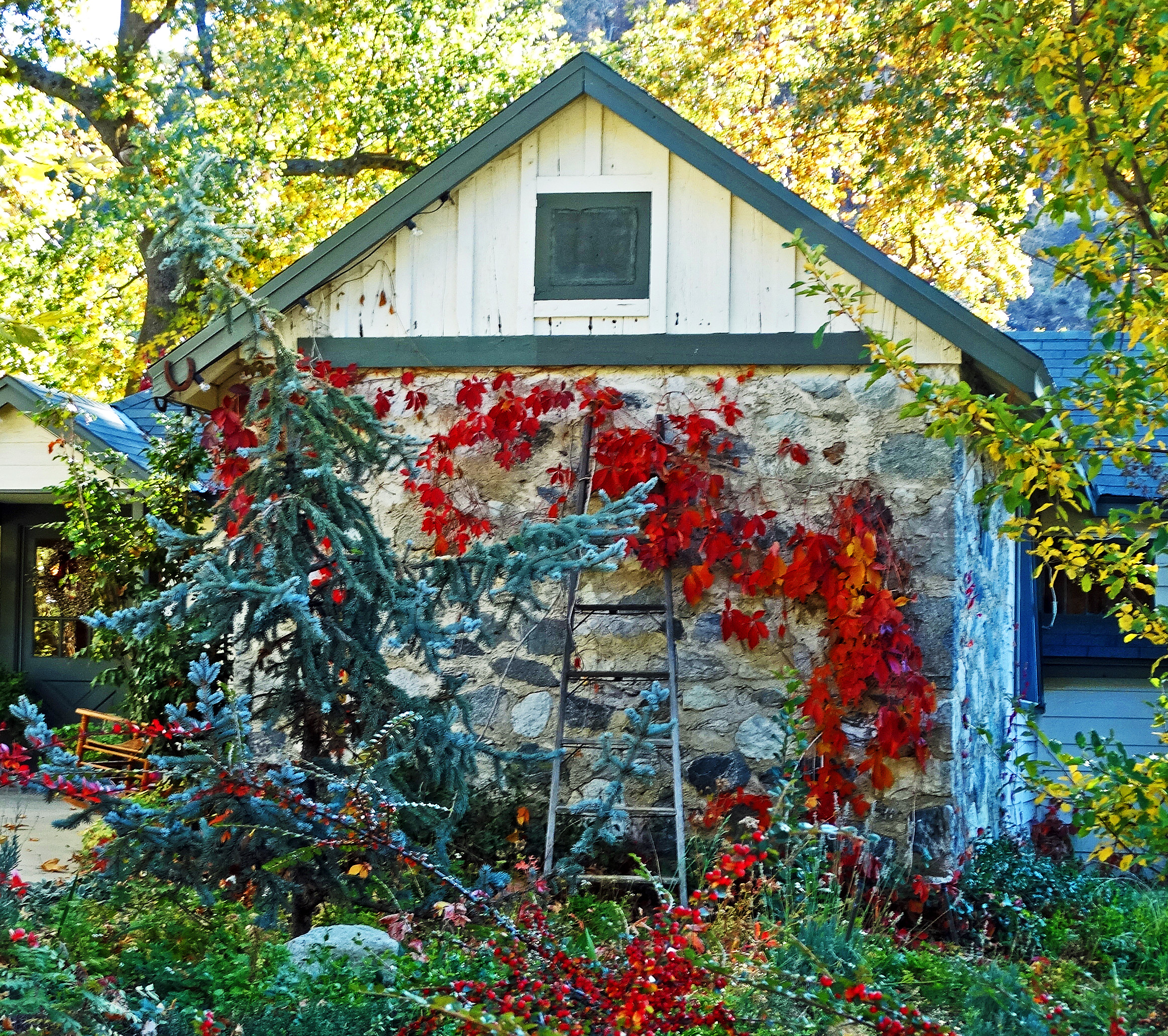
Autumn Sunrise at the Homestead 10-21

Banning Road

Mill Creek Canyon
Topographic Map of Amber Leaf Way, Yucaipa, CA, USA
Find elevation by address:

Places near Amber Leaf Way, Yucaipa, CA, USA:
35120 Date Ave
35191 Persimmon Ave
11050 Bryant St
Sunnyside Drive
35213 Date Ave
34910 Shadow Wood Dr
Preston Lane
10961 Sandalwood Way
11563 Townsend Way
Bryant Street
11748 3rd St
35345 Date Ave
35218 Fir Ave
12008 2nd St
11665 Lennox St
35367 Fir Ave
34625 Cedar Ave
35255 Beech Ave
Yucaipa
11650 Dodd St
Recent Searches:
- Elevation of Royal Ontario Museum, Queens Park, Toronto, ON M5S 2C6, Canada
- Elevation of Groblershoop, South Africa
- Elevation of Power Generation Enterprises | Industrial Diesel Generators, Oak Ave, Canyon Country, CA, USA
- Elevation of Chesaw Rd, Oroville, WA, USA
- Elevation of N, Mt Pleasant, UT, USA
- Elevation of 6 Rue Jules Ferry, Beausoleil, France
- Elevation of Sattva Horizon, 4JC6+G9P, Vinayak Nagar, Kattigenahalli, Bengaluru, Karnataka, India
- Elevation of Great Brook Sports, Gold Star Hwy, Groton, CT, USA
- Elevation of 10 Mountain Laurels Dr, Nashua, NH, USA
- Elevation of 16 Gilboa Ln, Nashua, NH, USA