Elevation of Sandalwood Way, Yucaipa, CA, USA
Location: United States > California > San Bernardino County > Yucaipa >
Longitude: -117.03865
Latitude: 34.0545649
Elevation: 846m / 2776feet
Barometric Pressure: 92KPa
Elevation Map:
Satellite Map:
Related Photos:

Sunset Valley I

View from Buff Rd LE

ATK 714E @ El Casco

Santa Ana River Valley

Shooting Spot in the Hills

the view from here [7:52]

sunny rear view

Back From the Desert

Bogart Park_0059

What a view this morning!

Not Too Shabby

Bogart Park_0041

Live Oak Farms, Wagon 12-9-12

Mountains from Panorama Point 11-18-12

Bogart Park_0039

Swim Lane

Bogart Park_0003

View from the patio. Good morning ya'll!!!
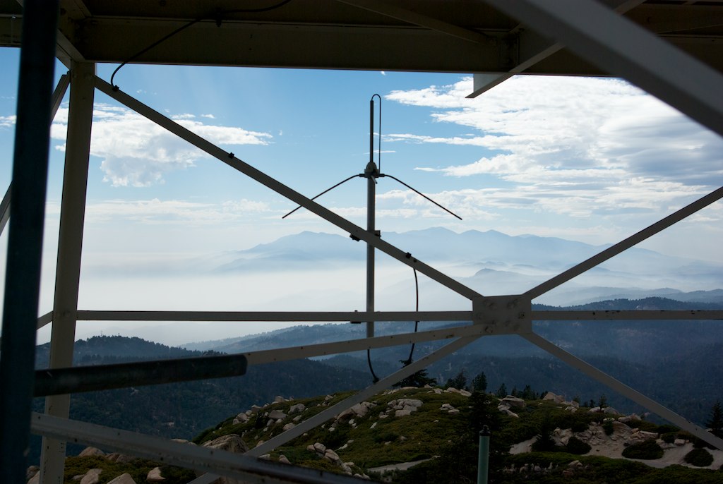
View from the ladder
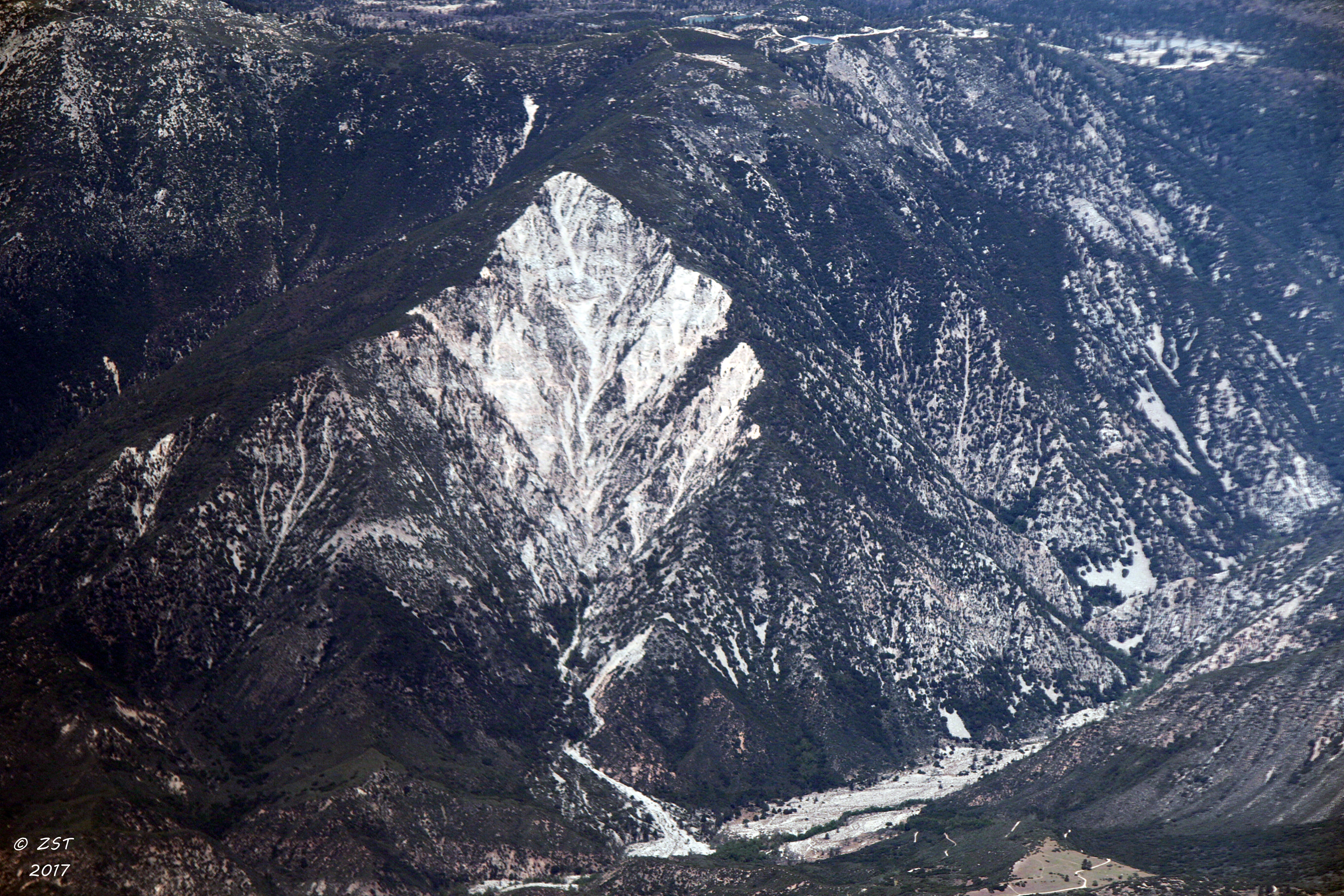
Erosion Scar [EXPLORED 5/26/17 - highest position #327]

Living Large, Canyon View, Redlands 5-19-13

San Timoteo Nature Trail

Hills from Jack Rabbit Trail

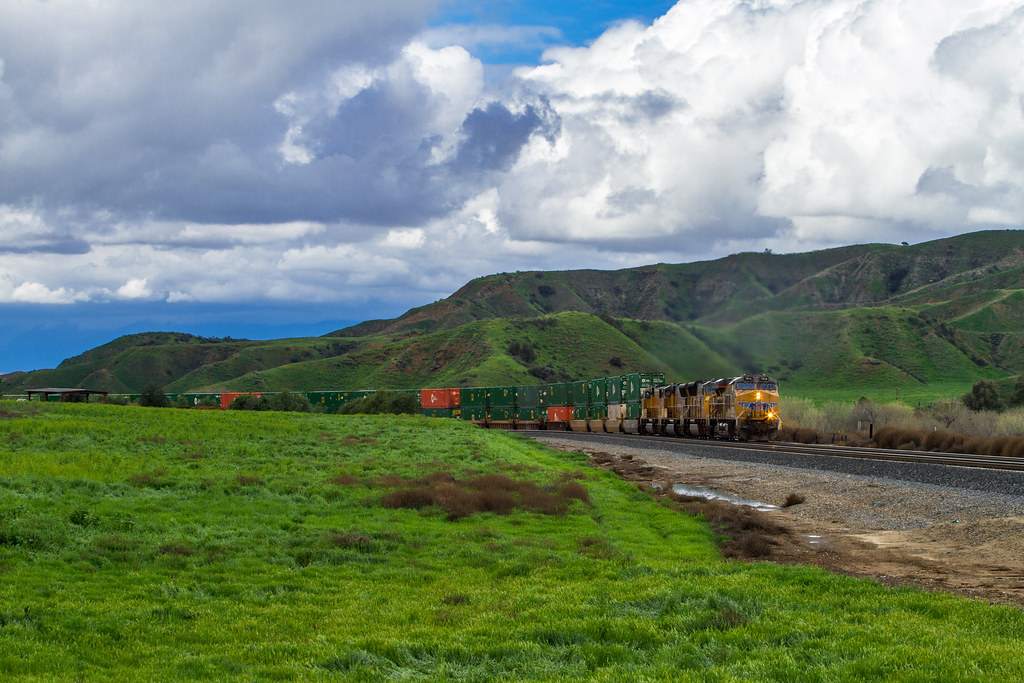
UP 7492

Snaking Up Beaumont

Spring Valley

Mill Creek Canyon

Mill Creek and Storm III

Feelings of Aqua
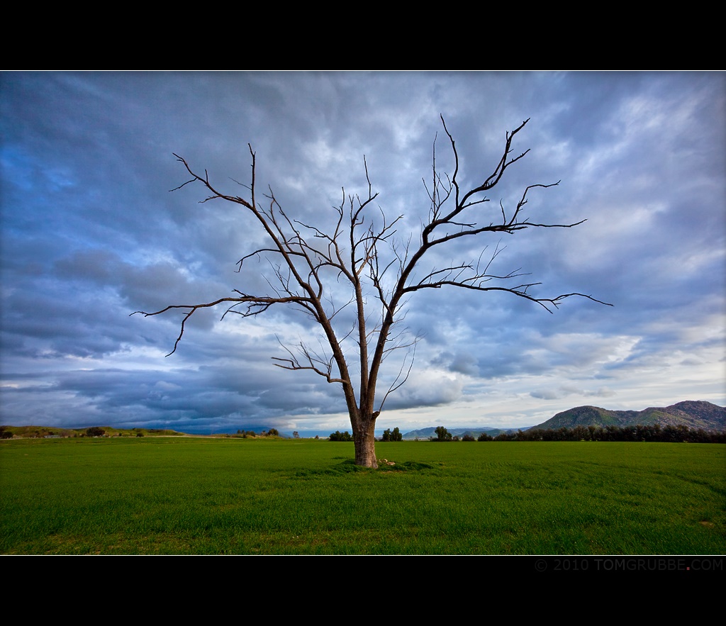
Tree and Field

Mill Creek - Mentone, CA, USA

Morey Mansion of Redlands

Yucaipa California

Sunset Valley II
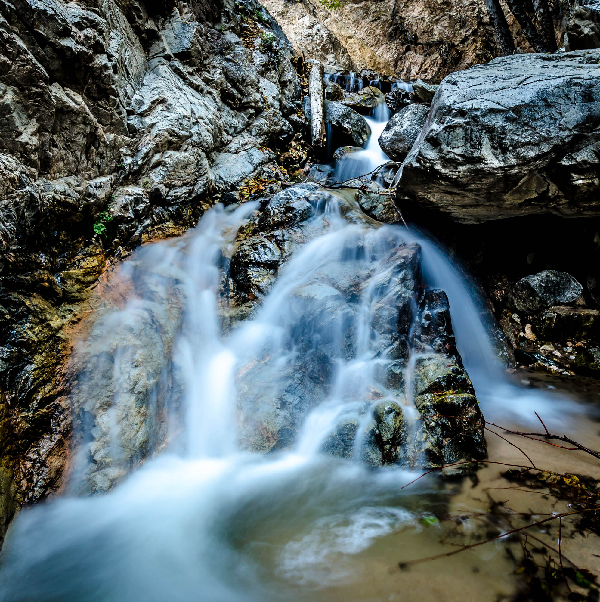
Big Falls Stream - Forest Falls, CA, USA

Palm Springs - 2017
Lush Hills
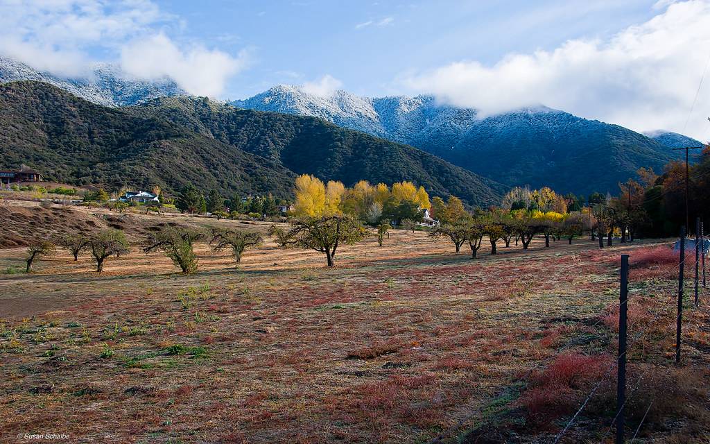
Autumn day in apple country

Garnet St. Bridge - Mentone, CA, USA
Topographic Map of Sandalwood Way, Yucaipa, CA, USA
Find elevation by address:

Places near Sandalwood Way, Yucaipa, CA, USA:
Sunnyside Drive
35218 Fir Ave
11050 Bryant St
34910 Shadow Wood Dr
35367 Fir Ave
34930 Amber Leaf Way
35674 Katona Ct
35678 Katona Ct
35678 Katona Ct
35670 Katona Ct
35191 Persimmon Ave
35665 Casa Vista St
35666 Balsa St
Oak Glen Road
35120 Date Ave
35213 Date Ave
Bryant Street
35345 Date Ave
11665 Lennox St
11650 Dodd St
Recent Searches:
- Elevation of Hickory St, Greenville, NC, USA
- Elevation of Poplar Ln, Guffey, CO, USA
- Elevation of Falling Spring Rd, Clyde, NC, USA
- Elevation of Kingsfield St, Castle Rock, CO, USA
- Elevation of AMELIA CT HSE, VA, USA
- Elevation of Abbey Dr, Virginia Beach, VA, USA
- Elevation of Brooks Lp, Spearfish, SD, USA
- Elevation of Panther Dr, Maggie Valley, NC, USA
- Elevation of Jais St - Wadi Shehah - Ras al Khaimah - United Arab Emirates
- Elevation of Shawnee Avenue, Shawnee Ave, Easton, PA, USA