Elevation of Oak View Road, Oak View Rd, Yucaipa, CA, USA
Location: United States > California > San Bernardino County > Yucaipa >
Longitude: -116.99604
Latitude: 34.0148422
Elevation: 968m / 3176feet
Barometric Pressure: 90KPa
Elevation Map:
Satellite Map:
Related Photos:

Sunset Valley I

View from Buff Rd LE

ATK 714E @ El Casco

Big Falls Stream - Forest Falls, CA, USA

Valley View

Back From the Desert

the view from here [7:52]

Not Too Shabby

sunny rear view

Big Falls Creek Long Exposure

Winter Pond, Oak Glen, CA 1-19-13

Bogart Park_0068

Original to these lands.

Live Oak Farms, Wagon 12-9-12
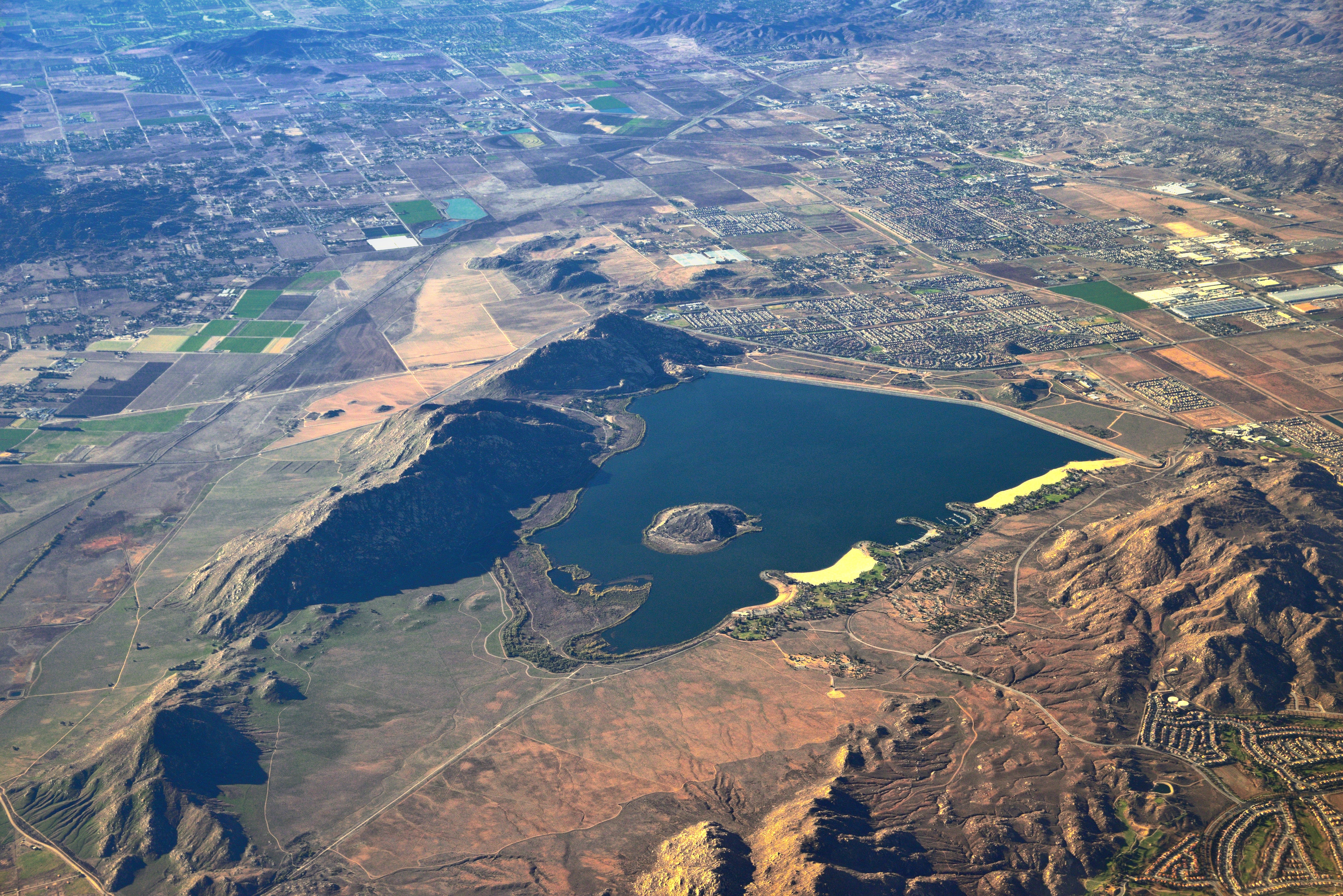
Lake Perris, Surrounded by Hills and Mountains

"Fall has always been my favorite season

View from the patio. Good morning ya'll!!!

Swim Lane

Bogart Park_0041
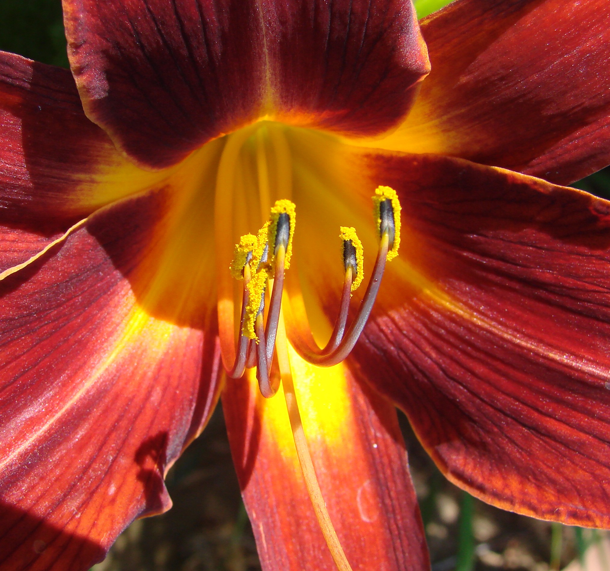
Daylillies (2) 7-7-12
Oak Glen Harvest Time 11-10-12

Snow Creek

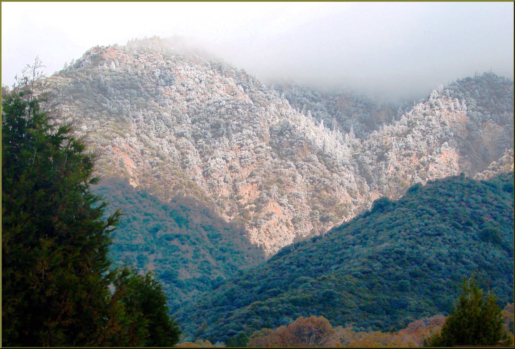
Hills from Jack Rabbit Trail

UP 7492
Reach - Forest Falls, CA, USA
Jack Rabbit Trail Road

River Rock - Forest Falls, CA, USA
Jack Rabbit Storm
Spring Trail

UP 7939

Twilight Rocks and Stream

Yucaipa/Mentone Fire
Bastille Day, 2014

Feelings of Aqua

Spring Valley

Mill Creek and Storm III
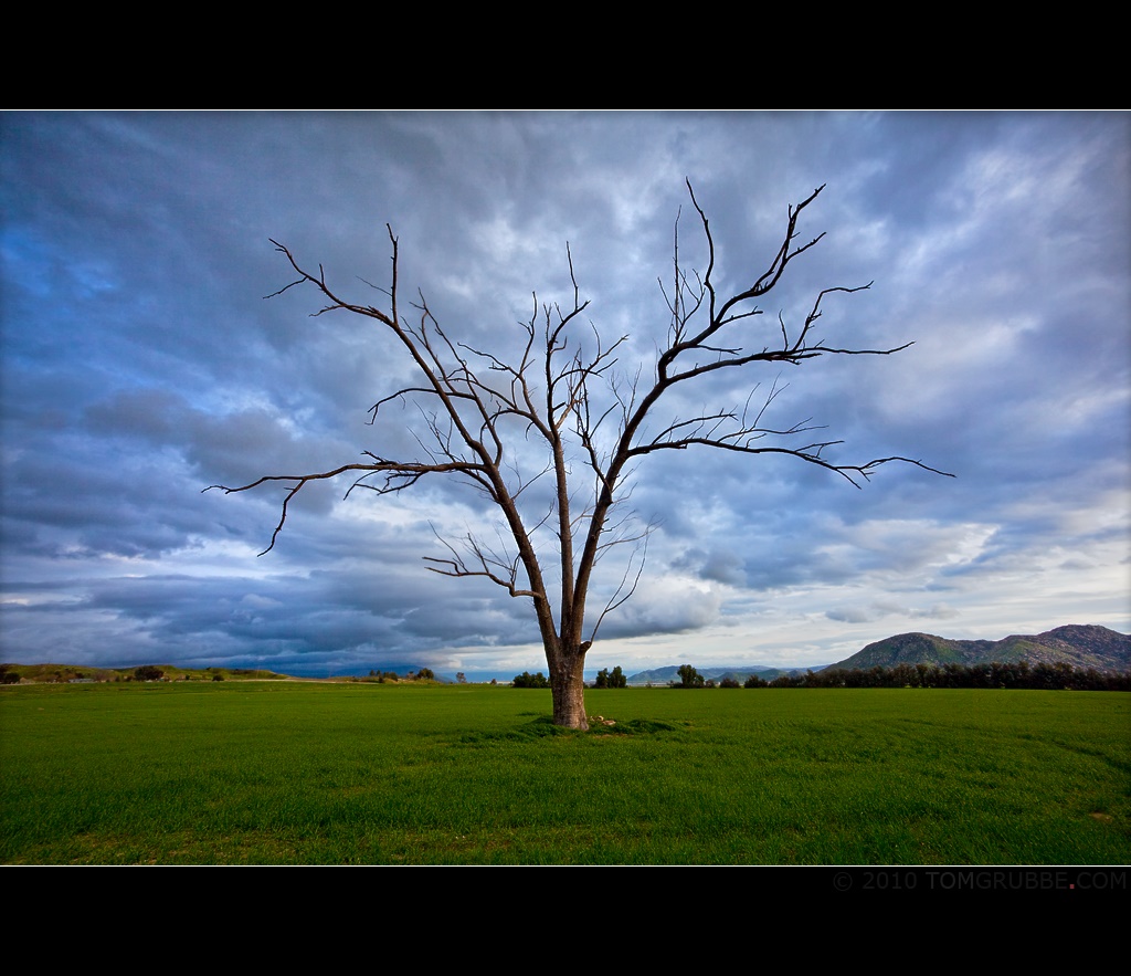
Tree and Field
FF 010

Romy in the field
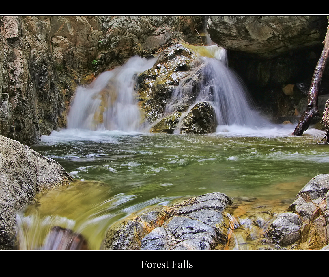
Forest Falls
Topographic Map of Oak View Road, Oak View Rd, Yucaipa, CA, USA
Find elevation by address:

Places near Oak View Road, Oak View Rd, Yucaipa, CA, USA:
37170 Wildwood View Dr
37258 Wildwood View Dr
13644 Oak Mountain Dr
36539 Cherrywood Dr
36503 Cherrywood Dr
13687 Pine View Dr
13739 Meadow View Ln
13418 Canyon Crest Rd
13776 Meadow View Ln
38530 Shadow Valley Ln
36251 Poplar Dr
12959 Pinewood Ln
36182 Serape Dr
36210 Ginger Tree Trail
13421 Village Rd
13535 Pamela Ct
36106 Leah Ln
563 E County Line Rd
35943 Rebecca Rd
12880 Grant St
Recent Searches:
- Elevation of 6 Rue Jules Ferry, Beausoleil, France
- Elevation of Sattva Horizon, 4JC6+G9P, Vinayak Nagar, Kattigenahalli, Bengaluru, Karnataka, India
- Elevation of Great Brook Sports, Gold Star Hwy, Groton, CT, USA
- Elevation of 10 Mountain Laurels Dr, Nashua, NH, USA
- Elevation of 16 Gilboa Ln, Nashua, NH, USA
- Elevation of Laurel Rd, Townsend, TN, USA
- Elevation of 3 Nestling Wood Dr, Long Valley, NJ, USA
- Elevation of Ilungu, Tanzania
- Elevation of Yellow Springs Road, Yellow Springs Rd, Chester Springs, PA, USA
- Elevation of Rēzekne Municipality, Latvia