Elevation of Rebecca Rd, Yucaipa, CA, USA
Location: United States > California > San Bernardino County > Yucaipa >
Longitude: -117.02030
Latitude: 34.0055938
Elevation: 847m / 2779feet
Barometric Pressure: 92KPa
Elevation Map:
Satellite Map:
Related Photos:

Living Large, Canyon View, Redlands 5-19-13
7 Oaks Dam

View from Buff Rd LE

Bogart Park_0068

ATK 714E @ El Casco

Valley View

Big Falls Stream - Forest Falls, CA, USA

Big Falls Creek Long Exposure

Shooting Spot in the Hills
.

the view from here [7:52]

sunny rear view

Bogart Park_0059

San Bernardino Valley

Seven Oaks Dam

Winter Pond, Oak Glen, CA 1-19-13

Not Too Shabby

Bogart Park_0041

Original to these lands.

Live Oak Farms, Wagon 12-9-12

Mountains from Panorama Point 11-18-12
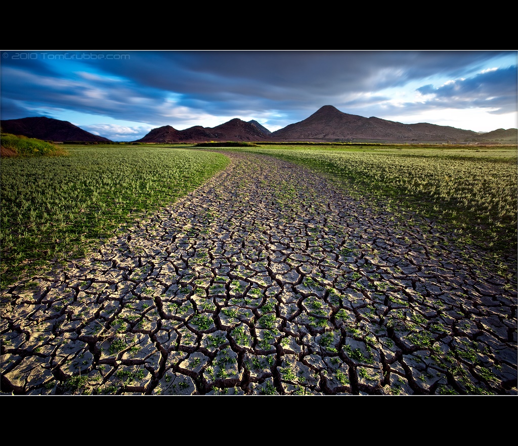
Grass and Badlands

Mill Creek Canyon

Mill Creek - Mentone, CA, USA
Underworld II

Fire under a Full Moon II
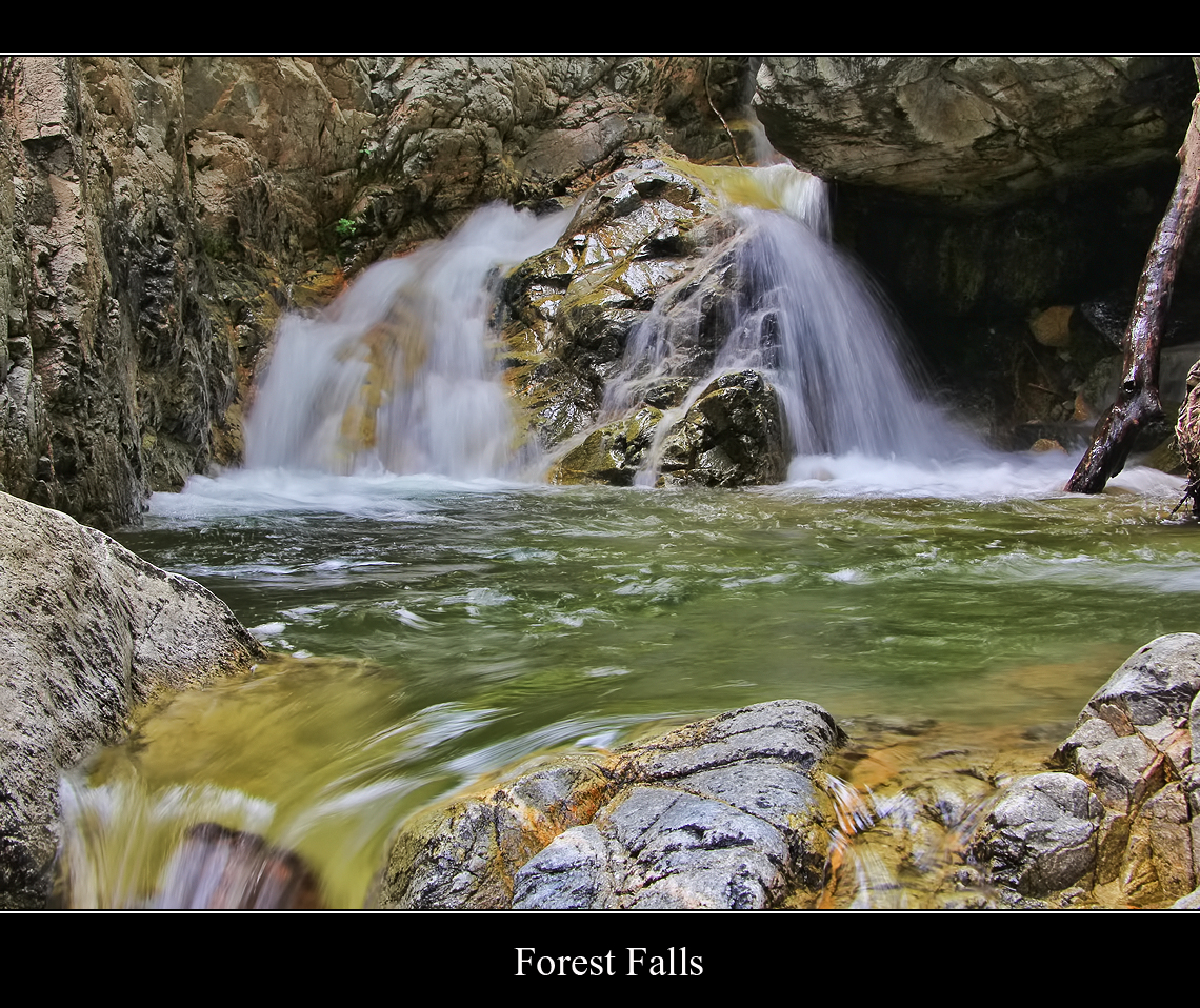
Forest Falls
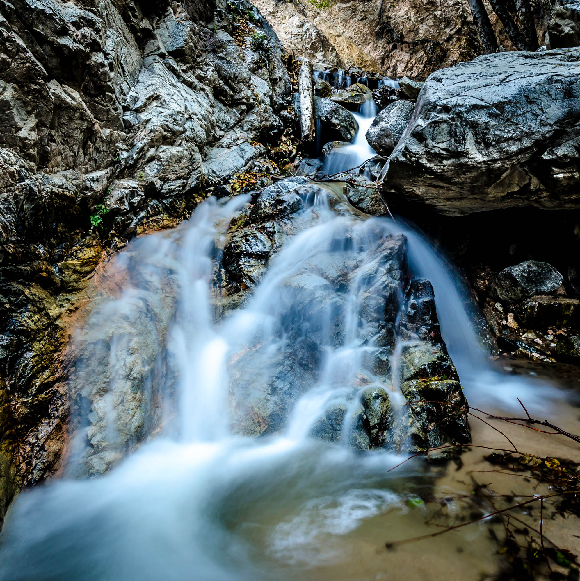
Big Falls Stream - Forest Falls, CA, USA
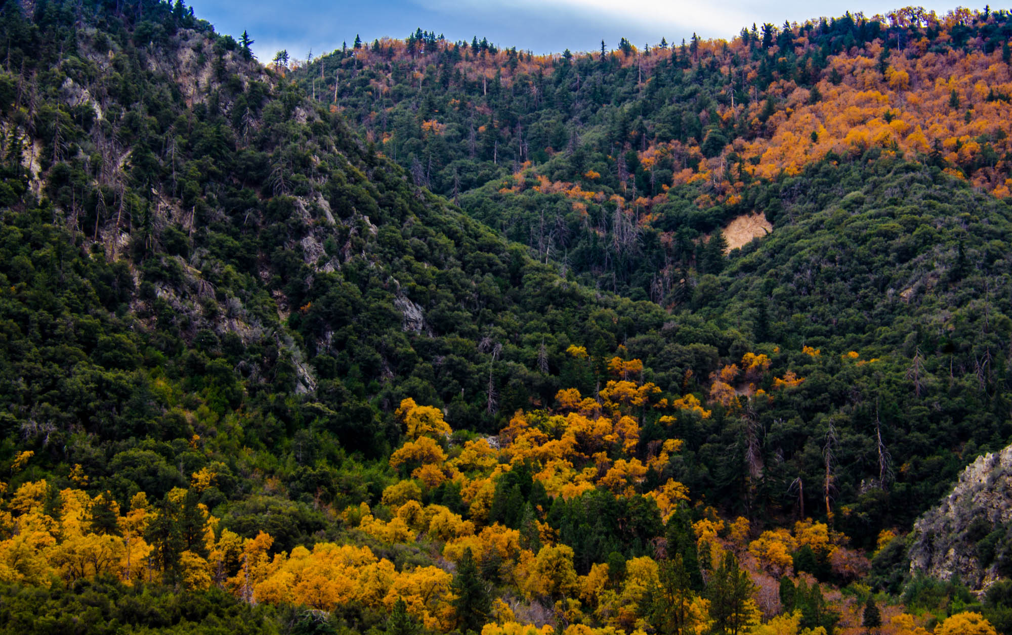
Orange and Green - San Bernardino National Forest, CA, USA

Snow Creek

San Timoteo Nature Trail

Summer Splendor

UP 7492
Earth and Renewal

Twilight Rocks and Stream

Snaking Up Beaumont

Yucaipa/Mentone Fire

Lonely Tree
Topographic Map of Rebecca Rd, Yucaipa, CA, USA
Find elevation by address:

Places near Rebecca Rd, Yucaipa, CA, USA:
563 E County Line Rd
13535 Pamela Ct
36106 Leah Ln
931 Grant St
13421 Village Rd
36210 Ginger Tree Trail
1100 Holmes St
35640 Oak Creek Dr
35579 Country Creek Dr
36182 Serape Dr
341 E Avenue L
13418 Canyon Crest Rd
East Avenue L
35566 Barbara Ln
13568 San Lucas Dr
12959 Pinewood Ln
947 Bryant St
36251 Poplar Dr
12880 Grant St
212 E Avenue L
Recent Searches:
- Elevation of Lampiasi St, Sarasota, FL, USA
- Elevation of Elwyn Dr, Roanoke Rapids, NC, USA
- Elevation of Congressional Dr, Stevensville, MD, USA
- Elevation of Bellview Rd, McLean, VA, USA
- Elevation of Stage Island Rd, Chatham, MA, USA
- Elevation of Shibuya Scramble Crossing, 21 Udagawacho, Shibuya City, Tokyo -, Japan
- Elevation of Jadagoniai, Kaunas District Municipality, Lithuania
- Elevation of Pagonija rock, Kranto 7-oji g. 8"N, Kaunas, Lithuania
- Elevation of Co Rd 87, Jamestown, CO, USA
- Elevation of Tenjo, Cundinamarca, Colombia