Elevation of Country Creek Dr, Yucaipa, CA, USA

Location: United States > California > San Bernardino County > Yucaipa >

Longitude: -117.02839

Latitude: 34.0059793

Elevation: 816m / 2677feet

Barometric Pressure: 92KPa

Elevation Map:

elevation map of Country Creek Dr, Yucaipa, CA, USA

Satellite Map:

Satellite map of Country Creek Dr, Yucaipa, CA, USA

Related Photos:

california autumn sunset sky storm fall clouds landscape countryside scenic hills valley morenovalley nortonyounglovereserve
Sunset Valley I
road longexposure snow mountains clouds landscape hills southerncalifornia banning inlandempire sangorgonio ndx00
View from Buff Rd LE
california bird us unitedstates hawk wildlife raptor redtailed nuevo sanjacintowildlifearea
Red-tail 9070
california trains casco redlands amtrakspecialprsgep30chpoochel
ATK 714E @ El Casco
california trees light bw sun white black rain weather clouds high afternoon dynamic lightning storms range thunder redlands hdr yucaipa oakglen
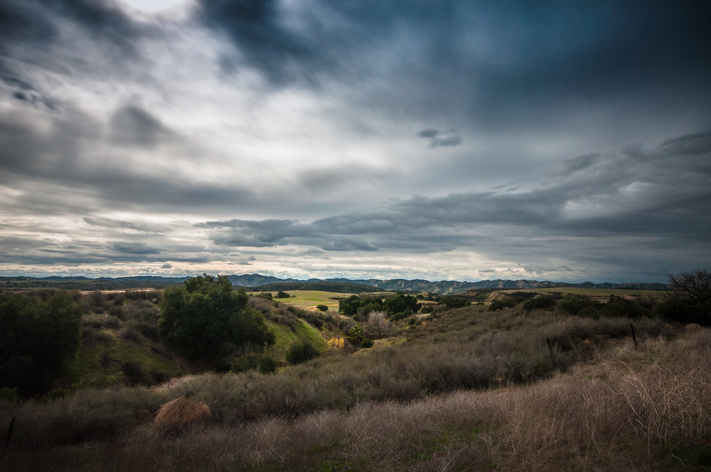
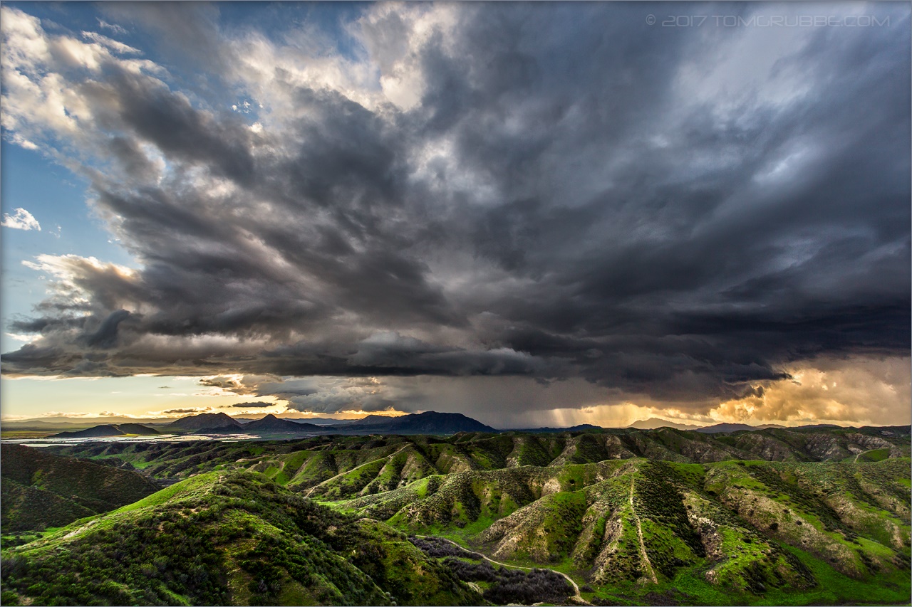
The Storms of Late Summer
california nature flats burro sanandreasfault fault geology sanandreas banning saf geomorphology aerialphotograph riversidecounty scarp sangorgoniopass splayfault
Aerial view of the San Andreas Fault, Burro Flats, Riverside County, California
above travel blue sky terrain cloud holiday mountains building green window nature field weather plane airplane landscape fly nokia losangeles high airport day ray looking view desert bright earth aircraft aviation flight wing lakes houston atmosphere sunny aerial hills airline rivers land layer phonecamera airliner stratosphere birdeye lumia1020 nokialumia1020
Moreno Valley, San Bernardino County, California
california summer music festival canon lens eos zoom live stage performance bowl musical sound 5d rogers ef redlands 28135mm hammerstein markiii yabbadabbadoo f3556 julyseptember 2013
Sound of Music at the Redlands Bowl...
oakglenca pond reeds cattails reflection losriosranchos mountains winter apples orchards trees inlandempireca agriculture farming dgrahamphoto
Winter Pond, Oak Glen, CA 1-19-13
above ca travel blue sky terrain cloud holiday mountains building green window nature field weather plane airplane landscape fly nokia losangeles high airport day ray looking view desert bright earth aircraft aviation flight wing lakes houston atmosphere sunny aerial hills airline rivers land layer phonecamera airliner stratosphere sanbernardino birdeye lumia1020 nokialumia1020
Leaving San Bernardino - aerial view
california longexposure sky grass clouds unitedstates 52weeks sigma1020mmf456 calimesa nd110 52weekproject
the view from here [7:52]
road snow mountains clouds landscape hills southerncalifornia banning inlandempire sangorgonio
View from Buff Rd
california swimming canon outdoors socal 5d canon5d tcc swimmeet canondslr yucaipa kenszok theclaremontclub kszokphotography
Swim Lane
treehouse redlandsca olderhomes dgrahamphoto housesofredlandsca
Tree House House on Cypress, Redlands 3-2012
california longexposure travel usa nature creek canon river landscape photo waterfall photographer picture southerncalifornia 2010 forestfalls sanbernardinonationalforest bigfalls 40d photographersnaturecom davetoussaint
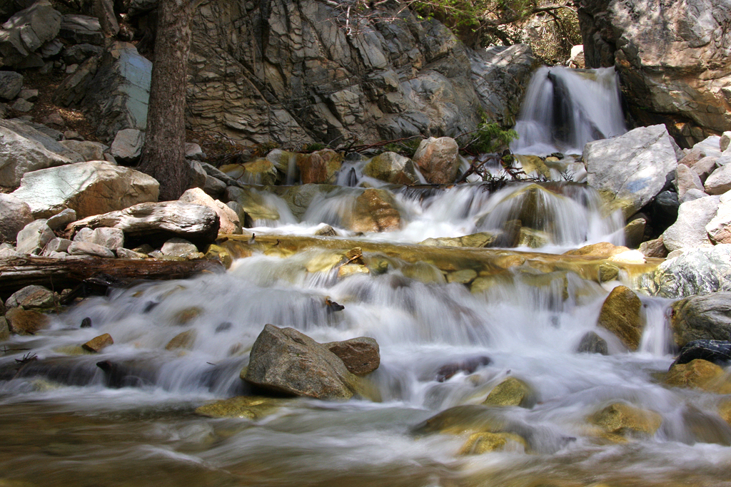
Big Falls Cascading Creek
halloween scarecrow littlekids cornstalks pumpkinpatch tractors motherhood pumkins redlandsca littleboys fordtractors momandchildren mentoneca pumkinhunting dgrahamphoto greenspotfarms
Punmpkin Hunting 10-26-13
above ca travel blue sky terrain cloud holiday mountains building green window nature field weather plane airplane landscape fly nokia losangeles high airport day ray looking view desert bright earth aircraft aviation flight wing lakes houston atmosphere sunny aerial hills airline rivers land layer phonecamera airliner stratosphere sangabrielmountains birdeye lumia1020 nokialumia1020
Aerial view over San Gabriel Mountains
california up trains unionpacific railroads beaumont emd sd402 sd70m sunsetroute santimoteopass
Only the Best
california sky field grass clouds landscape countryside spring hills inlandempire morenovalley
Spring Valley
sunset selfportrait mountains nature birds landscape sitting cloudy farm horizon relaxing fields tres forever 365 agriculture wheatfield thecharlatans project365 inspiredbymusic humidday enjoytheview
Day 347/365: I know I'm going where the sun always shines (explored #328 on June 8, 2009)
sevenoaksdam santaanariver
San Bernardino Valley
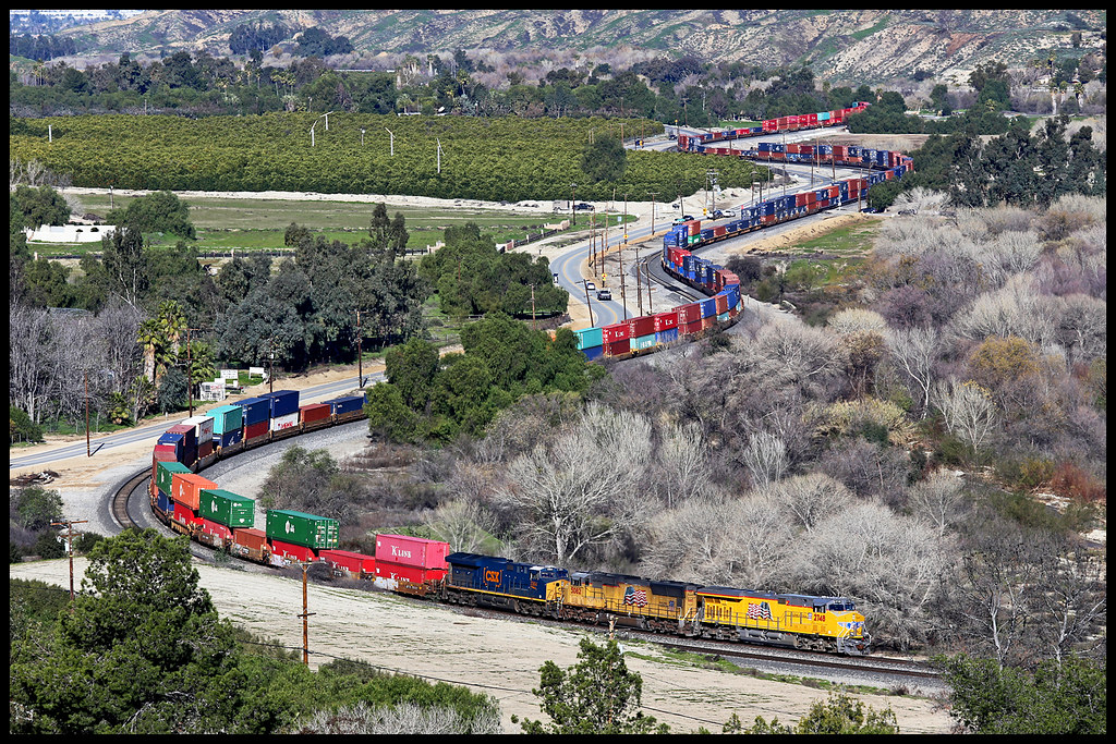
up union pacific sp southern sunset route yuma subdivision beaumont hill ordway san timoteo canyon gorgonio pass
UP 2748
millcreekcanyon sanbernardinonationalforest california photo digital spring canyon mountains mountsanbernardino
Mill Creek Canyon
el casco california unitedstates us beaumont hill up union pacific yuma subdivision sub train coal railroad locomotive socal southern
Snaking Up Beaumont
Lush Hills
Beaumont, California
inlandempire california usa landscapes sangabrielmountains mtbaldy snowinmountains redlands colton sanbernardino fontana ranchocucamonga dgrahamphoto
San Gabriel Mountains over Inland Empire, CA 2016 (In EXPLORE)
california ca travel usa nature weather canon landscape photo interestingness google interesting photographer cloudy smoke extreme picture july clarity fullmoon explore flame socal adobe monsoon getty southerncalifornia firefighting firefighter hdr brushfire adjust morenovalley 2015 wildlandfire denoise 60d topazlabs calfire vegetationfire photographersnaturecom davetoussaint riversidecountyfiredepartment photoshopcc merwinfire
Fire under a Full Moon
sanbernardinonationalforest forestfalls california photo digital spring canyon creek stream landscape
Mill Creek Canyon
sanbernardinonationalforest forestfalls california photo digital spring forest mountain conifers landscape
Little San Gorgonio Peak
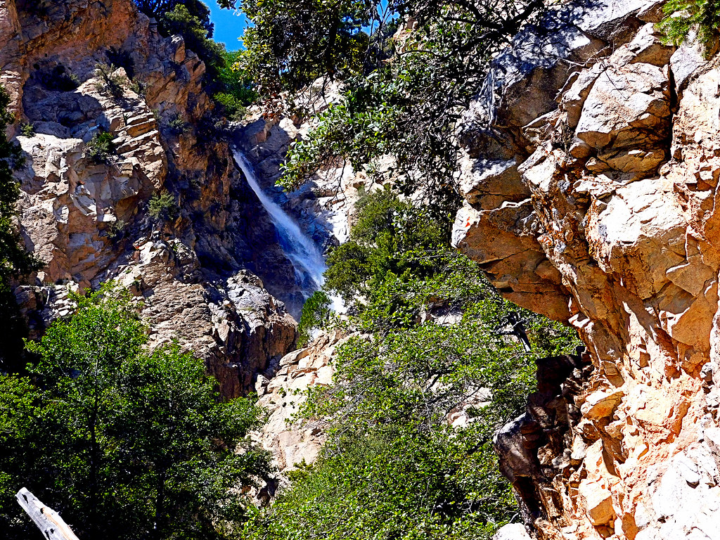
sanbernardinonationalforest forestfalls california photo digital spring forest waterfall canyon landscape
Upper Forest Falls
storm clouds sky tree pond reflection sanjacintowildlifearea california landscape
Storm Tree
sunset lake reflection grass clouds pond lagoon hills bog sanjacinto sanjacintowildlifearea
Summer Splendor
jackrabbittrail road hills green spring storm godbeams countryside california landscape
Jack Rabbit Trail Road
california snow mountains creek forest river landscape stream millcreek forestfalls
Snow Creek
jackrabbittrail trail hills green spring clouds storm rain countryside california landscape
Jack Rabbit Storm
field farm countryside gorge chasm ravine tumbleweeds spring grass storm clouds morenovalley california landscape
Lumonitious Landscape
jackrabbittrail trail hills green spring storm countryside california landscape
Spring Trail II
storm clouds sky tree pond reflection sanjacintowildlifearea california landscape
Twilight Pond
oakglenca inlandempire fall autumn fallleaves turningleaves apple appleorchard usa landscapes dgrahamphoto snowlineorchard california
Apple Orchard Autumn, Oak Glen, CA 2019