Elevation of San Lucas Dr, Yucaipa, CA, USA
Location: United States > California > San Bernardino County > Yucaipa >
Longitude: -117.03373
Latitude: 34.0070975
Elevation: 801m / 2628feet
Barometric Pressure: 92KPa
Elevation Map:
Satellite Map:
Related Photos:

ATK 714E @ El Casco
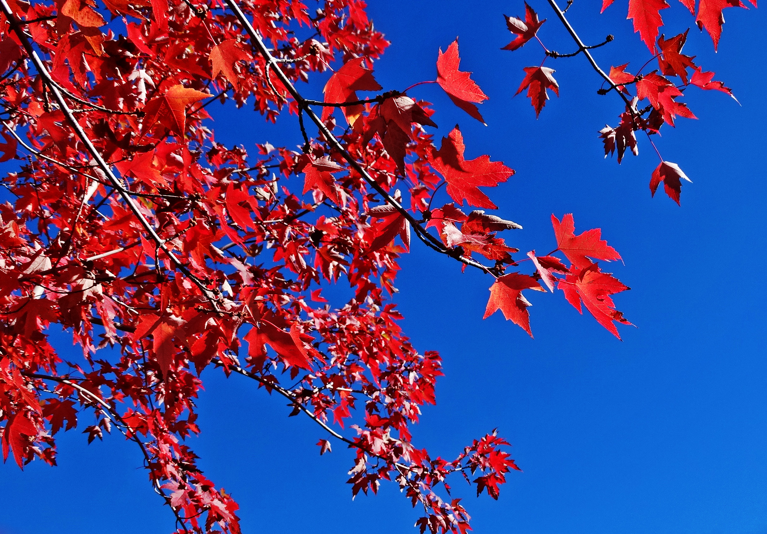
Sun on Oak Leaves, Oak Glen, CA 11-8-14

View from Buff Rd LE

Bogart Park_0068

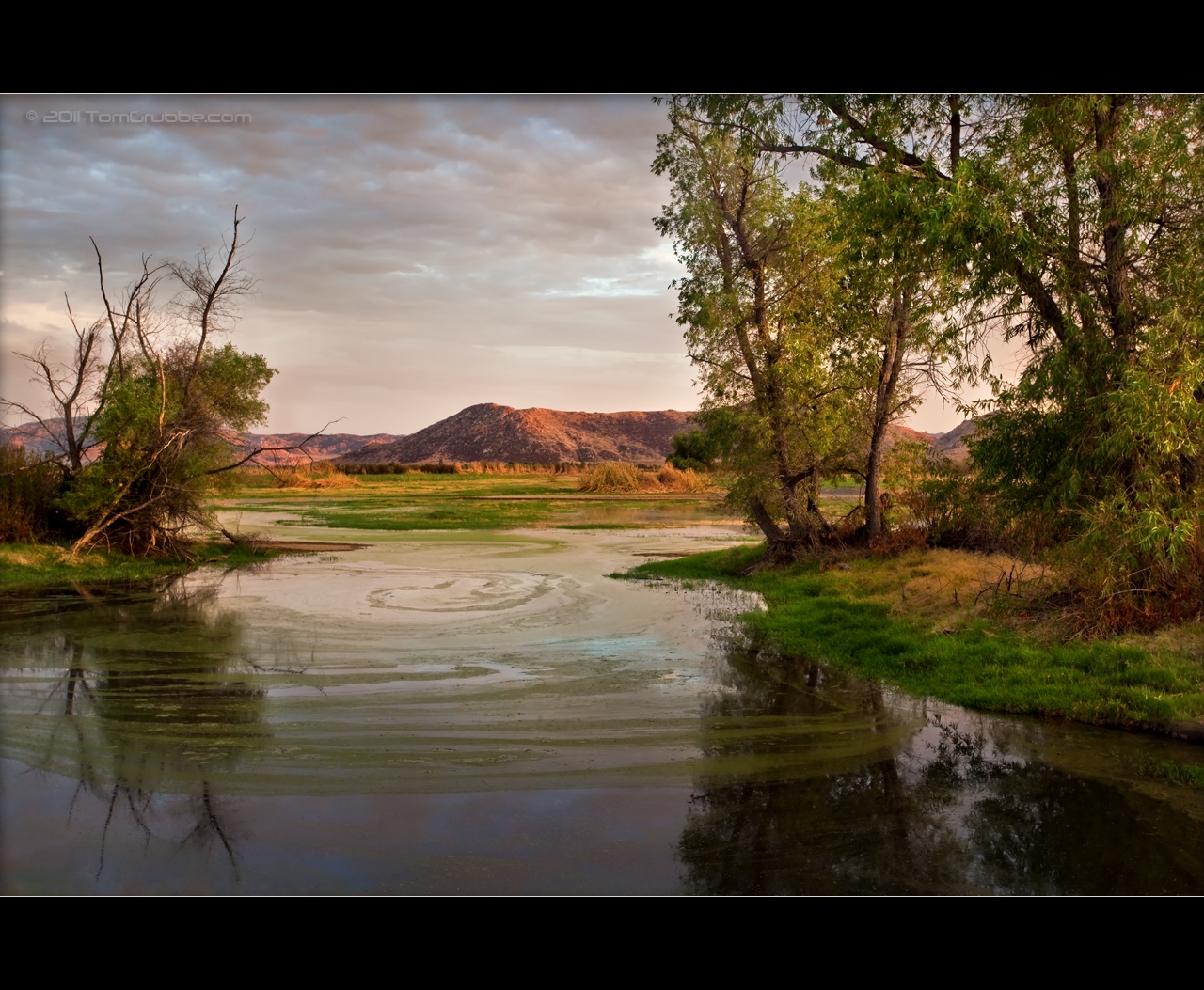
Valley View

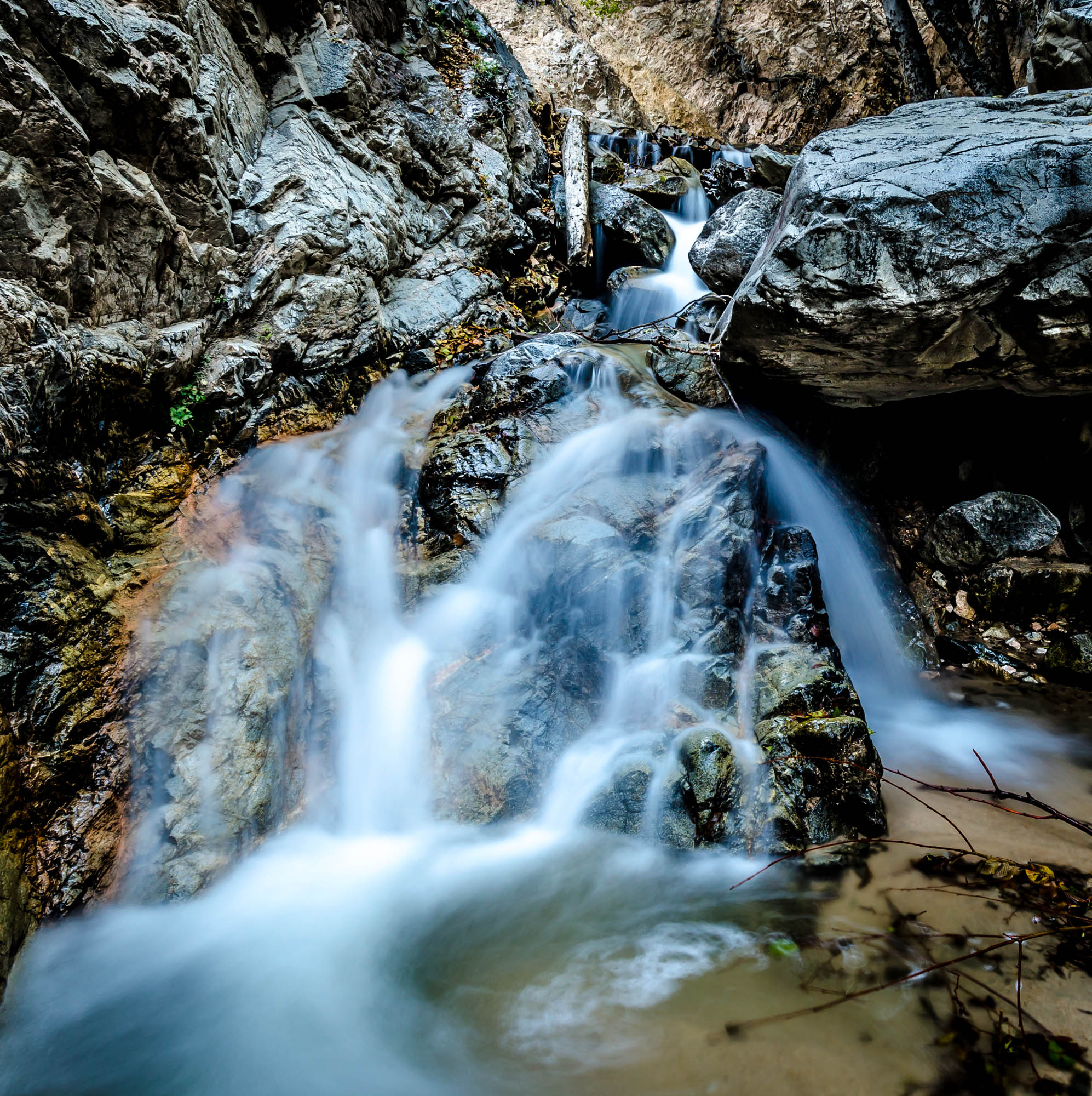
Big Falls Creek Long Exposure

Shooting Spot in the Hills

the view from here [7:52]

Seven Oaks Dam

sunny rear view

San Bernardino Valley

Winter Pond, Oak Glen, CA 1-19-13

Not Too Shabby

Bogart Park_0041

What a view this morning!

Original to these lands.

Live Oak Farms, Wagon 12-9-12

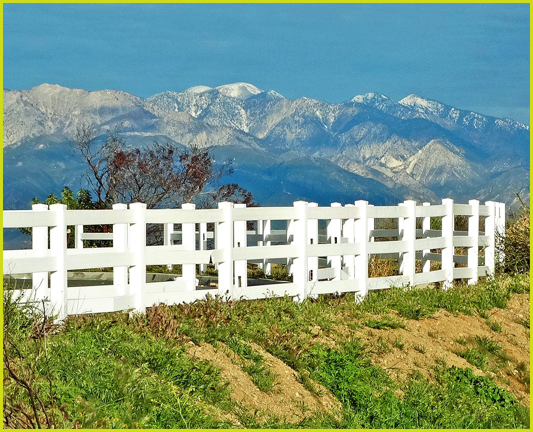
Mountains from Panorama Point 11-18-12

Bogart Park_0039

Bogart Park_0003

Swim Lane
Earth and Renewal

San Timoteo Nature Trail

Hills from Jack Rabbit Trail
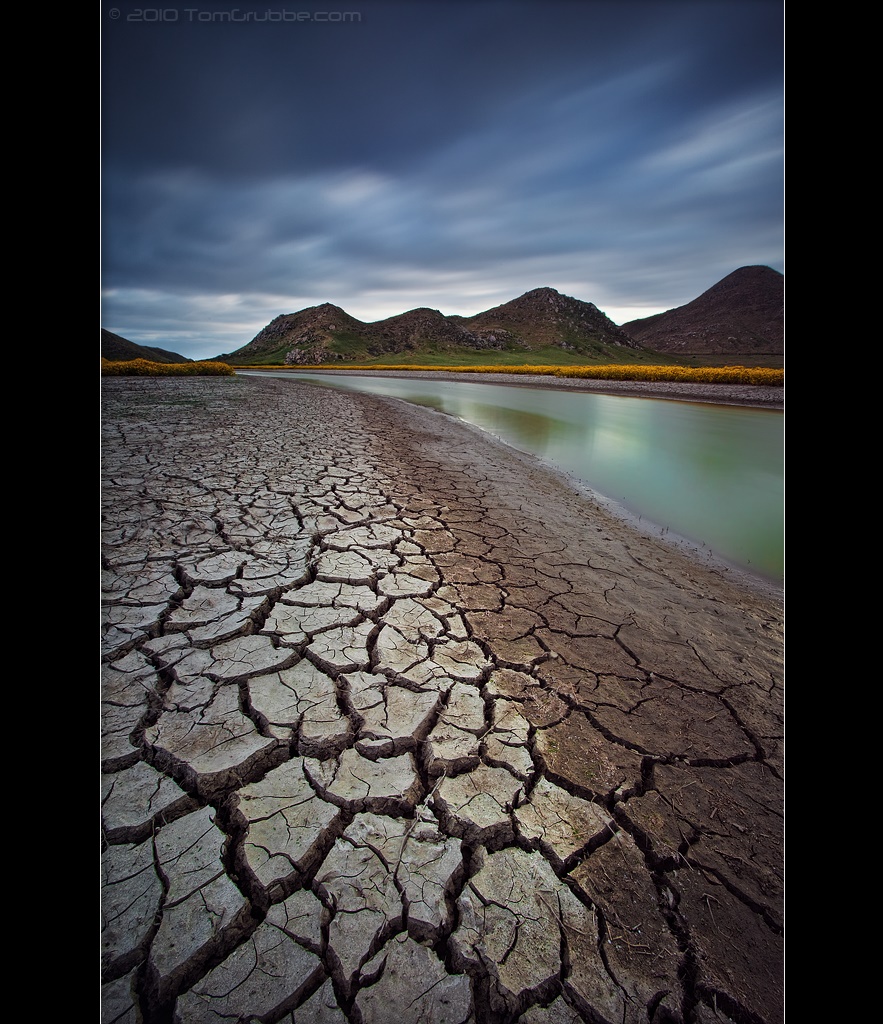
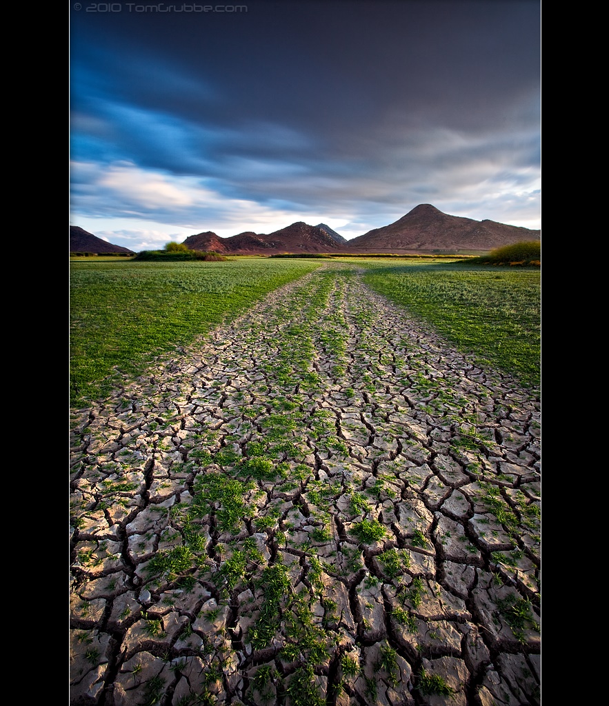
Stream Through Time II

Mill Creek and Storm III

Mill Creek - Mentone, CA, USA
Dream Field

Fire under a Full Moon II
September Pond

Mill Creek Canyon

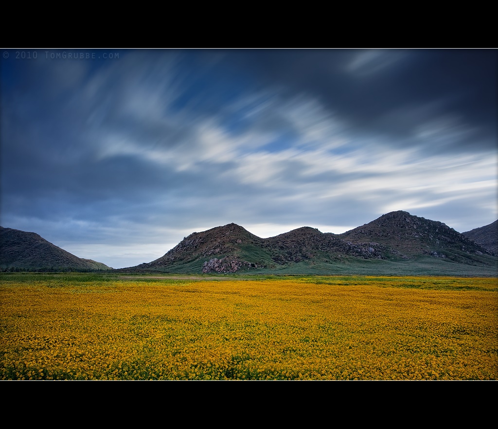
Spring Valley

Feelings of Aqua
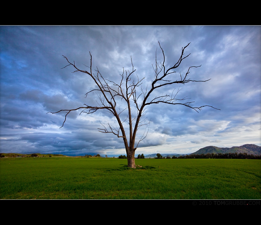
Tree and Field
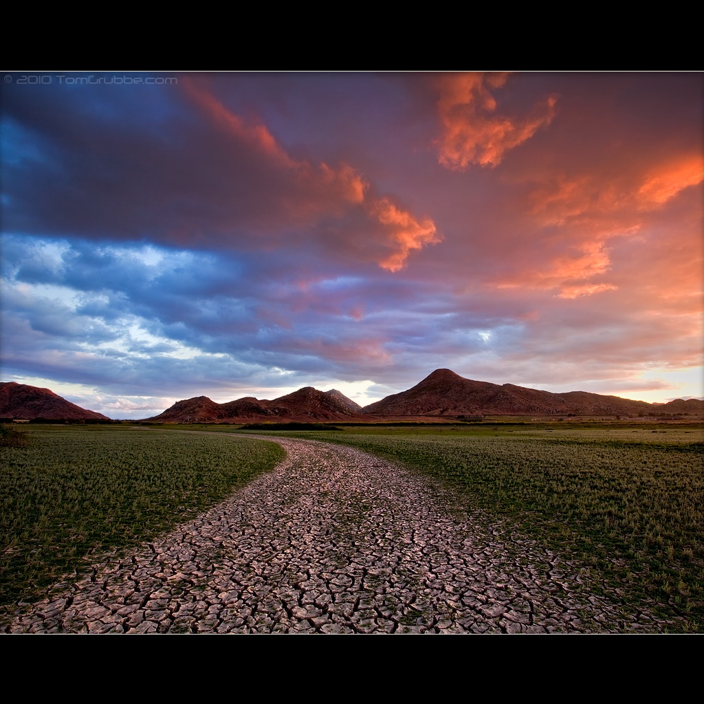
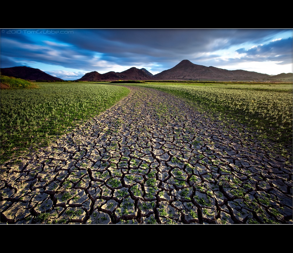
A Storm's Reward
Seeds of Life

Garnet St. Bridge - Mentone, CA, USA

Sunset Valley II
Big Falls Stream - Forest Falls, CA, USA

Lights on for Safety - Redlands, CA, USA
Mt. Baldy from Panorama Pt 3-9-14f
Topographic Map of San Lucas Dr, Yucaipa, CA, USA
Find elevation by address:

Places near San Lucas Dr, Yucaipa, CA, USA:
35261 San Pablo Dr
947 Bryant St
13323 Bryant St
35579 Country Creek Dr
35055 Vickey Way
975 California St
35640 Oak Creek Dr
182 E Avenue L
212 E Avenue L
950 California St
1017 California St
East Avenue L
341 E Avenue L
212 Colonial Dr
210 Susan Lee Ct
35 Country Club Dr
325 W Ave L
34420 La Raye Dr
181 Fox Ln
34359 Ave H
Recent Searches:
- Elevation of Elwyn Dr, Roanoke Rapids, NC, USA
- Elevation of Congressional Dr, Stevensville, MD, USA
- Elevation of Bellview Rd, McLean, VA, USA
- Elevation of Stage Island Rd, Chatham, MA, USA
- Elevation of Shibuya Scramble Crossing, 21 Udagawacho, Shibuya City, Tokyo -, Japan
- Elevation of Jadagoniai, Kaunas District Municipality, Lithuania
- Elevation of Pagonija rock, Kranto 7-oji g. 8"N, Kaunas, Lithuania
- Elevation of Co Rd 87, Jamestown, CO, USA
- Elevation of Tenjo, Cundinamarca, Colombia
- Elevation of Côte-des-Neiges, Montreal, QC H4A 3J6, Canada