Elevation of Village Rd, Yucaipa, CA, USA
Location: United States > California > San Bernardino County > Yucaipa >
Longitude: -117.01738
Latitude: 34.0097734
Elevation: 862m / 2828feet
Barometric Pressure: 91KPa
Elevation Map:
Satellite Map:
Related Photos:

Sunset Valley I

View from Buff Rd LE

Not Too Shabby

Big Falls Creek Long Exposure

Lake Perris, Surrounded by Hills and Mountains

Valley View

Aerial view of the San Andreas Fault, Burro Flats, Riverside County, California

Moreno Valley, San Bernardino County, California

Leaving San Bernardino - aerial view

Punmpkin Hunting 10-26-13

Aerial view over San Gabriel Mountains

Sunset from Limber Pine Bench

Spring Valley

.

Day 347/365: I know I'm going where the sun always shines (explored #328 on June 8, 2009)

San Bernardino Valley

Red-tail 9070

7 Oaks Dam

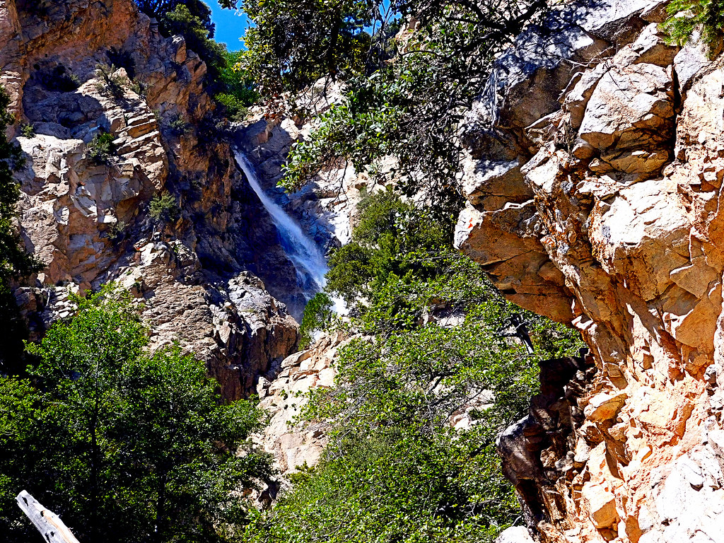
Big Falls Stream - Forest Falls, CA, USA

Santa Ana River Valley
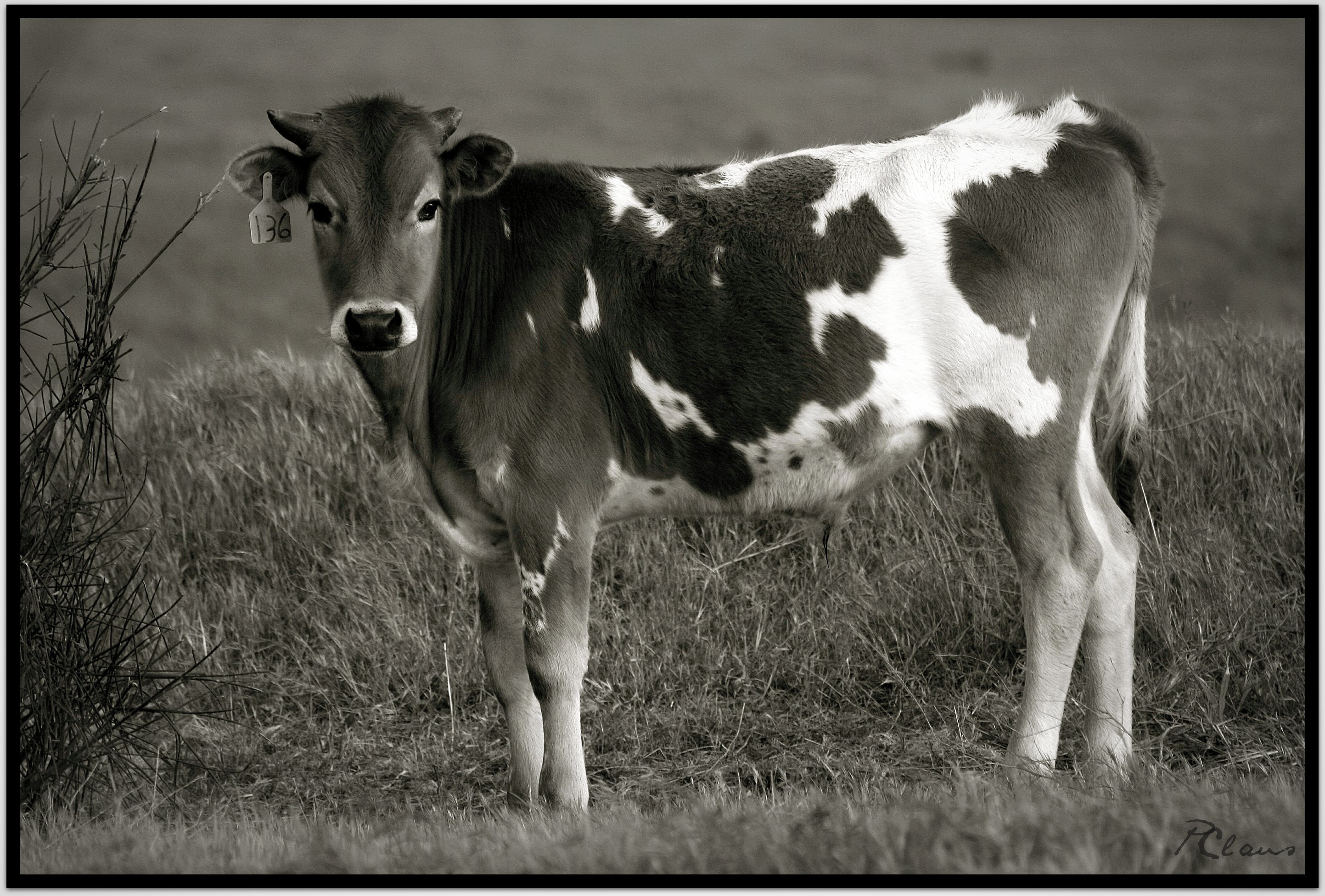
Sweet: Number 136.

Beaumont, California

Fire under a Full Moon

Mill Creek Canyon

Little San Gorgonio Peak
Upper Forest Falls

Storm Tree

Summer Splendor

Jack Rabbit Trail Road

Easter 2016

Snow Creek
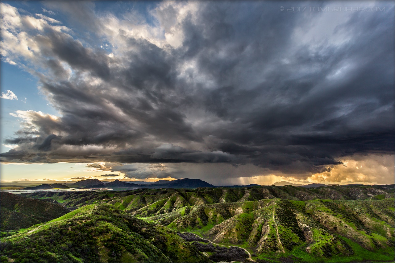
Jack Rabbit Storm

Lumonitious Landscape

Spring Trail II

Apple Orchard Autumn, Oak Glen, CA 2019

New Season

Spring Trail

Earth and Grass

Jeffrey Pine
Topographic Map of Village Rd, Yucaipa, CA, USA
Find elevation by address:

Places near Village Rd, Yucaipa, CA, USA:
36106 Leah Ln
13535 Pamela Ct
36210 Ginger Tree Trail
36182 Serape Dr
35943 Rebecca Rd
13418 Canyon Crest Rd
563 E County Line Rd
12959 Pinewood Ln
931 Grant St
36251 Poplar Dr
35640 Oak Creek Dr
36503 Cherrywood Dr
1100 Holmes St
12880 Grant St
36539 Cherrywood Dr
35579 Country Creek Dr
35566 Barbara Ln
35610 Mountain View St
341 E Avenue L
East Avenue L
Recent Searches:
- Elevation of Elwyn Dr, Roanoke Rapids, NC, USA
- Elevation of Congressional Dr, Stevensville, MD, USA
- Elevation of Bellview Rd, McLean, VA, USA
- Elevation of Stage Island Rd, Chatham, MA, USA
- Elevation of Shibuya Scramble Crossing, 21 Udagawacho, Shibuya City, Tokyo -, Japan
- Elevation of Jadagoniai, Kaunas District Municipality, Lithuania
- Elevation of Pagonija rock, Kranto 7-oji g. 8"N, Kaunas, Lithuania
- Elevation of Co Rd 87, Jamestown, CO, USA
- Elevation of Tenjo, Cundinamarca, Colombia
- Elevation of Côte-des-Neiges, Montreal, QC H4A 3J6, Canada