Elevation of Leah Ln, Yucaipa, CA, USA
Location: United States > California > San Bernardino County > Yucaipa >
Longitude: -117.01745
Latitude: 34.0082444
Elevation: 861m / 2825feet
Barometric Pressure: 91KPa
Elevation Map:
Satellite Map:
Related Photos:

Sunset Valley I

View from Buff Rd LE

Only the Best

Spring Valley

.

San Bernardino Valley

Day 347/365: I know I'm going where the sun always shines (explored #328 on June 8, 2009)

Big Falls Stream - Forest Falls, CA, USA

Santa Ana River Valley
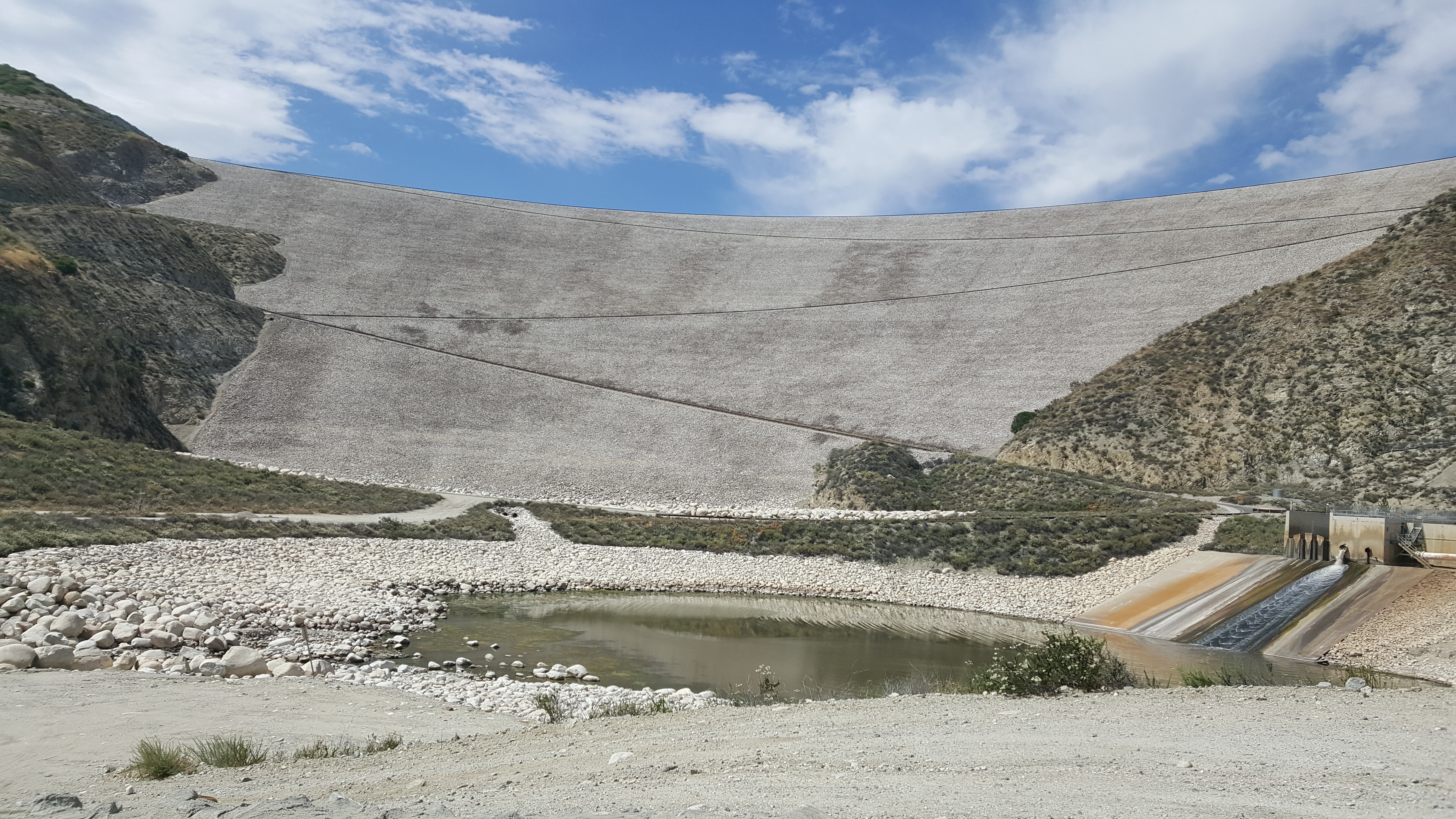
Seven Oaks Dam

Sweet: Number 136.

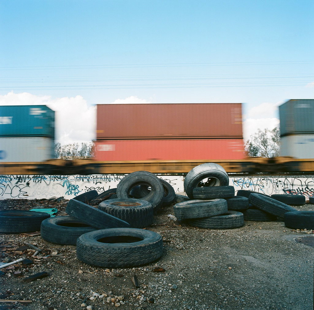
ATK 714E @ El Casco

Not Too Shabby

Valley View II

Big Falls Creek Long Exposure

Lake Perris, Surrounded by Hills and Mountains
.

1 of (7) LOWER Falls- Valley of Falls, Mill Creek Canyon, San Bernadino Mountains

Valley View

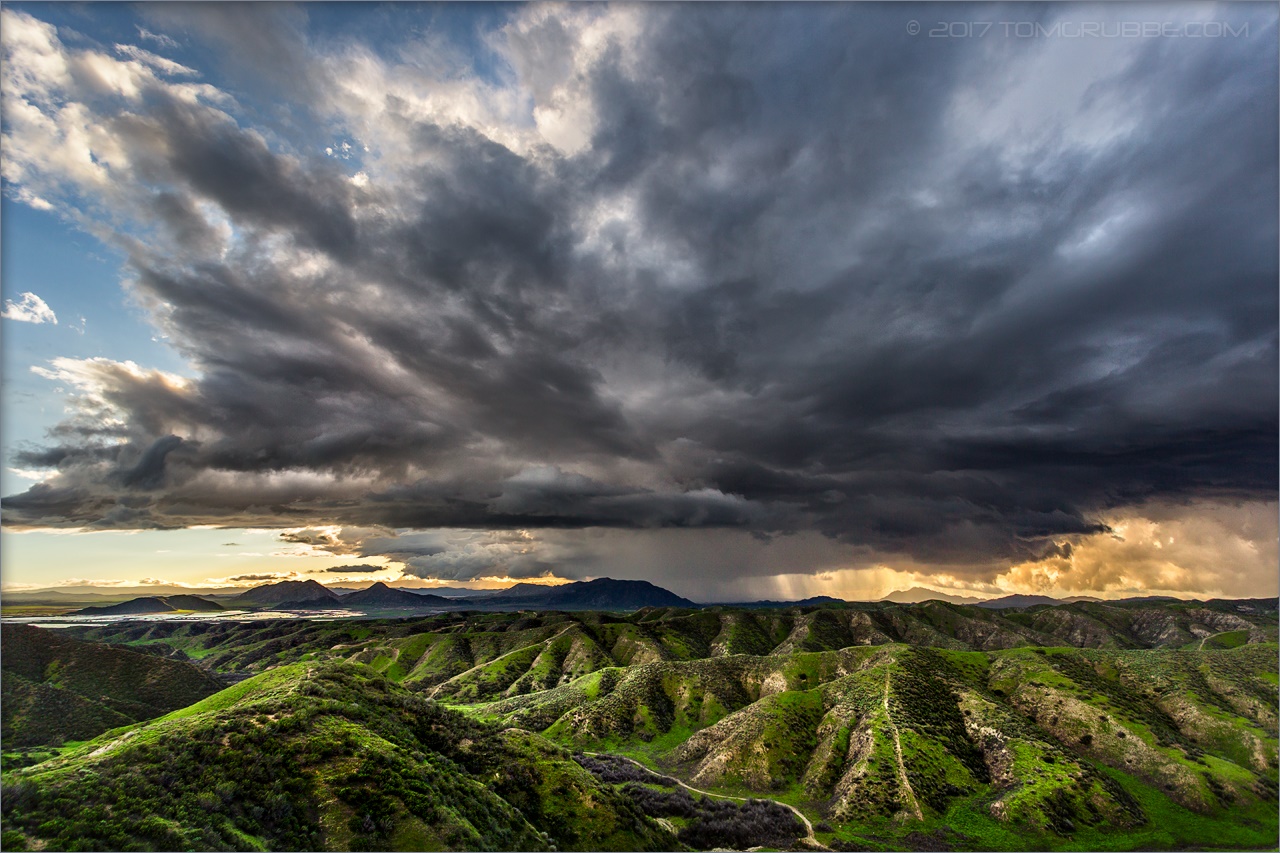
The Storms of Late Summer

Back From the Desert
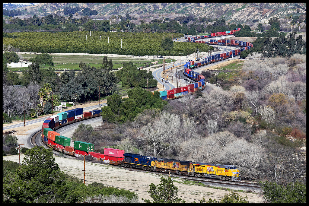
UP 2748

Snaking Up Beaumont

Mill Creek Canyon

Lush Hills

Mill Creek Canyon

Beaumont, California

Mill Creek Canyon

Little San Gorgonio Peak

San Gabriel Mountains over Inland Empire, CA 2016 (In EXPLORE)
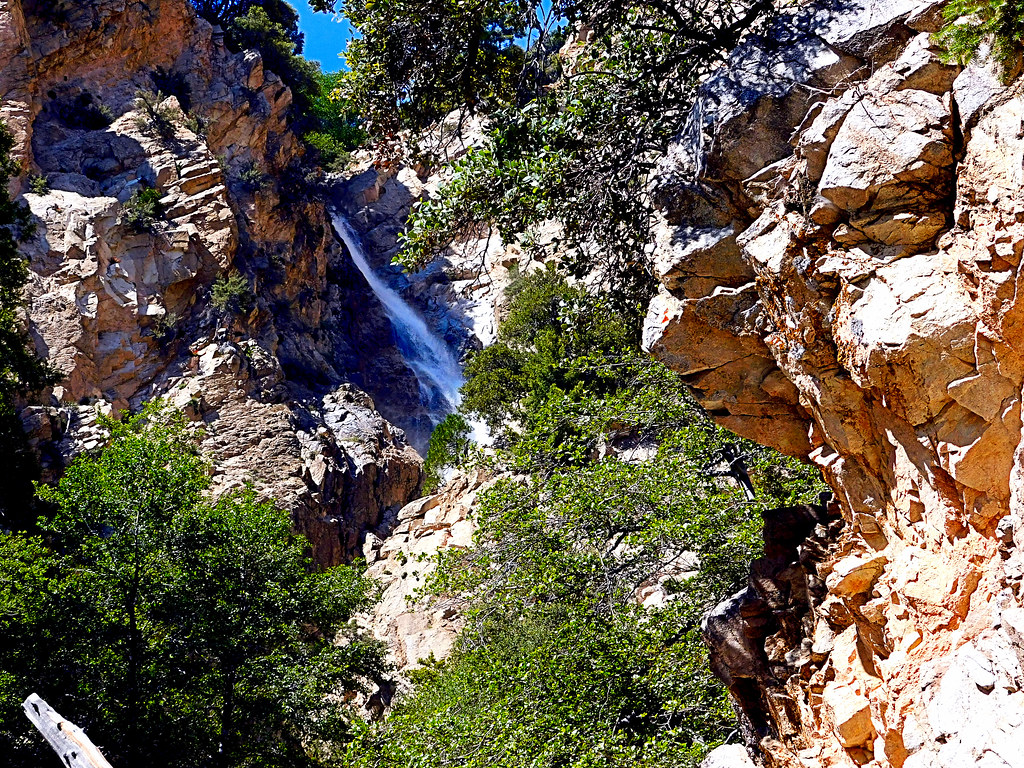
Upper Forest Falls

Summer Splendor

Jack Rabbit Trail Road

Easter 2016
Jack Rabbit Storm

Snow Creek

UP 7492

Mill Creek Canyon

Lumonitious Landscape

Spring Trail II
Topographic Map of Leah Ln, Yucaipa, CA, USA
Find elevation by address:

Places near Leah Ln, Yucaipa, CA, USA:
13535 Pamela Ct
13421 Village Rd
36210 Ginger Tree Trail
35943 Rebecca Rd
563 E County Line Rd
36182 Serape Dr
13418 Canyon Crest Rd
931 Grant St
1100 Holmes St
35640 Oak Creek Dr
12959 Pinewood Ln
36251 Poplar Dr
35579 Country Creek Dr
36503 Cherrywood Dr
36539 Cherrywood Dr
12880 Grant St
35566 Barbara Ln
341 E Avenue L
East Avenue L
35610 Mountain View St
Recent Searches:
- Elevation of Tenjo, Cundinamarca, Colombia
- Elevation of Côte-des-Neiges, Montreal, QC H4A 3J6, Canada
- Elevation of Bobcat Dr, Helena, MT, USA
- Elevation of Zu den Ihlowbergen, Althüttendorf, Germany
- Elevation of Badaber, Peshawar, Khyber Pakhtunkhwa, Pakistan
- Elevation of SE Heron Loop, Lincoln City, OR, USA
- Elevation of Slanický ostrov, 01 Námestovo, Slovakia
- Elevation of Spaceport America, Co Rd A, Truth or Consequences, NM, USA
- Elevation of Warwick, RI, USA
- Elevation of Fern Rd, Whitmore, CA, USA