Elevation of E County Line Rd, Calimesa, CA, USA
Location: United States > California > Riverside County > Calimesa >
Longitude: -117.01871
Latitude: 34.0028332
Elevation: 850m / 2789feet
Barometric Pressure: 92KPa
Elevation Map:
Satellite Map:
Related Photos:

Sunset Valley I

View from Buff Rd LE

Bogart Park_0068

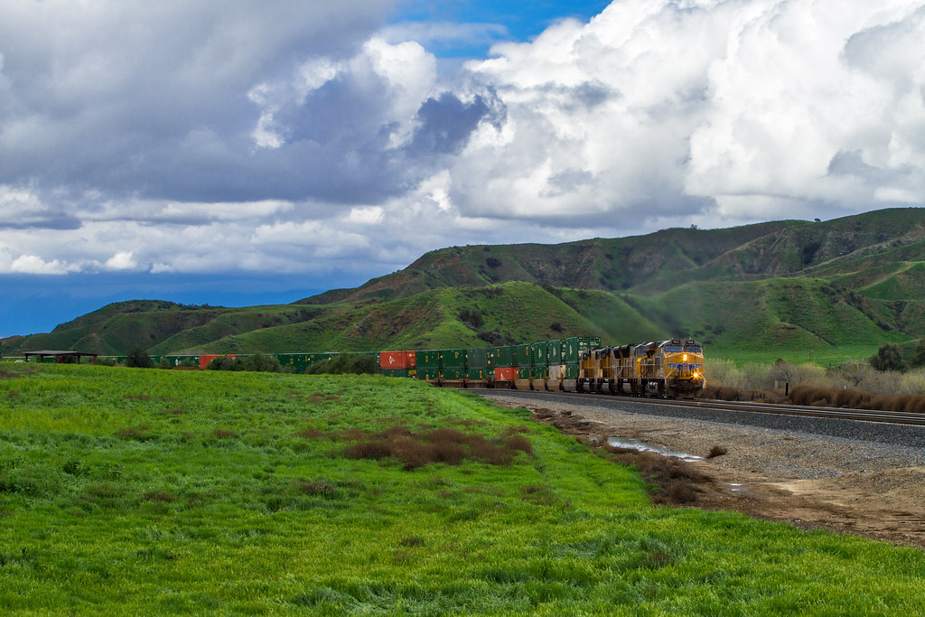
ATK 714E @ El Casco

Santa Ana River Valley

Big Falls Creek Long Exposure

Shooting Spot in the Hills
.

the view from here [7:52]

sunny rear view

Back From the Desert

Bogart Park_0059

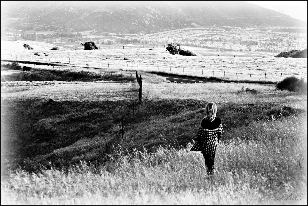
Not Too Shabby

Bogart Park_0041

Original to these lands.

Live Oak Farms, Wagon 12-9-12

Mountains from Panorama Point 11-18-12

Bogart Park_0039

Swim Lane

Bogart Park_0003

View from the patio. Good morning ya'll!!!

San Timoteo Nature Trail

Hills from Jack Rabbit Trail

UP 7492
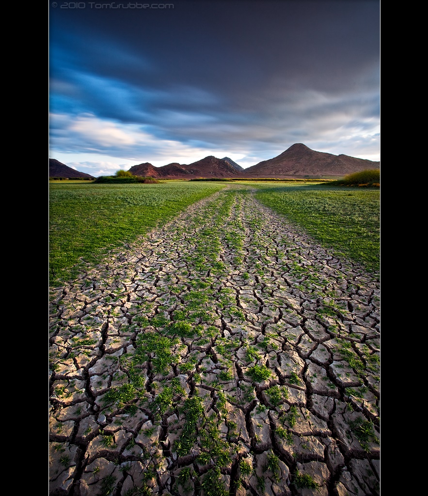
Earth and Renewal

Spring Valley

Mill Creek Canyon

Mill Creek and Storm III

Feelings of Aqua
Tree and Field

Mill Creek - Mentone, CA, USA

Yucaipa California

Fire under a Full Moon II
Big Falls Stream - Forest Falls, CA, USA
Romy in the field

Palm Springs - 2017
Lush Hills
Seeds of Life
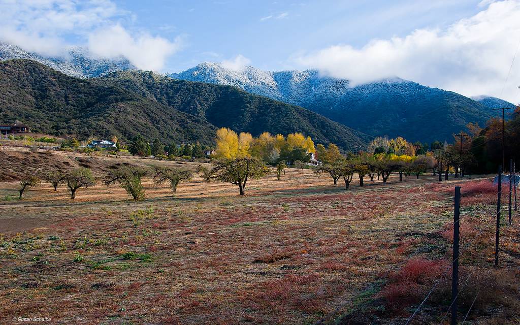
Autumn day in apple country

Garnet St. Bridge - Mentone, CA, USA
Topographic Map of E County Line Rd, Calimesa, CA, USA
Find elevation by address:

Places near E County Line Rd, Calimesa, CA, USA:
35943 Rebecca Rd
1100 Holmes St
36210 Ginger Tree Trail
13535 Pamela Ct
931 Grant St
36106 Leah Ln
13421 Village Rd
35640 Oak Creek Dr
35579 Country Creek Dr
341 E Avenue L
13418 Canyon Crest Rd
36182 Serape Dr
East Avenue L
947 Bryant St
12959 Pinewood Ln
212 E Avenue L
13568 San Lucas Dr
35566 Barbara Ln
36251 Poplar Dr
36503 Cherrywood Dr
Recent Searches:
- Elevation of Elwyn Dr, Roanoke Rapids, NC, USA
- Elevation of Congressional Dr, Stevensville, MD, USA
- Elevation of Bellview Rd, McLean, VA, USA
- Elevation of Stage Island Rd, Chatham, MA, USA
- Elevation of Shibuya Scramble Crossing, 21 Udagawacho, Shibuya City, Tokyo -, Japan
- Elevation of Jadagoniai, Kaunas District Municipality, Lithuania
- Elevation of Pagonija rock, Kranto 7-oji g. 8"N, Kaunas, Lithuania
- Elevation of Co Rd 87, Jamestown, CO, USA
- Elevation of Tenjo, Cundinamarca, Colombia
- Elevation of Côte-des-Neiges, Montreal, QC H4A 3J6, Canada