Elevation of Serape Dr, Yucaipa, CA, USA
Location: United States > California > San Bernardino County > Yucaipa >
Longitude: -117.01528
Latitude: 34.0139206
Elevation: 874m / 2867feet
Barometric Pressure: 91KPa
Elevation Map:
Satellite Map:
Related Photos:

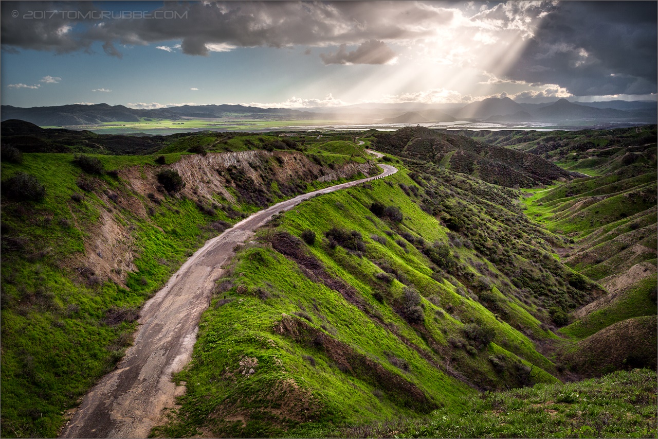
Valley View

Winter Pond, Oak Glen, CA 1-19-13

Swim Lane

Living Large, Canyon View, Redlands 5-19-13
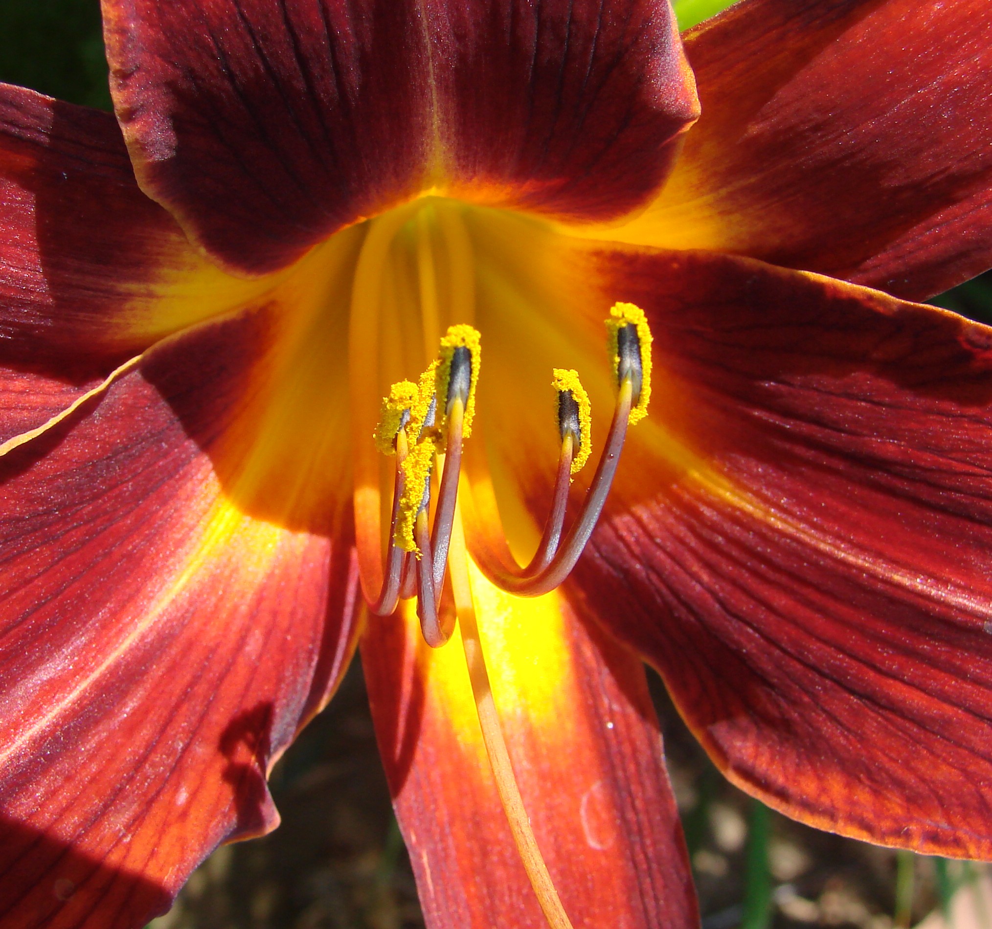
Daylillies (2) 7-7-12
Oak Glen Harvest Time 11-10-12

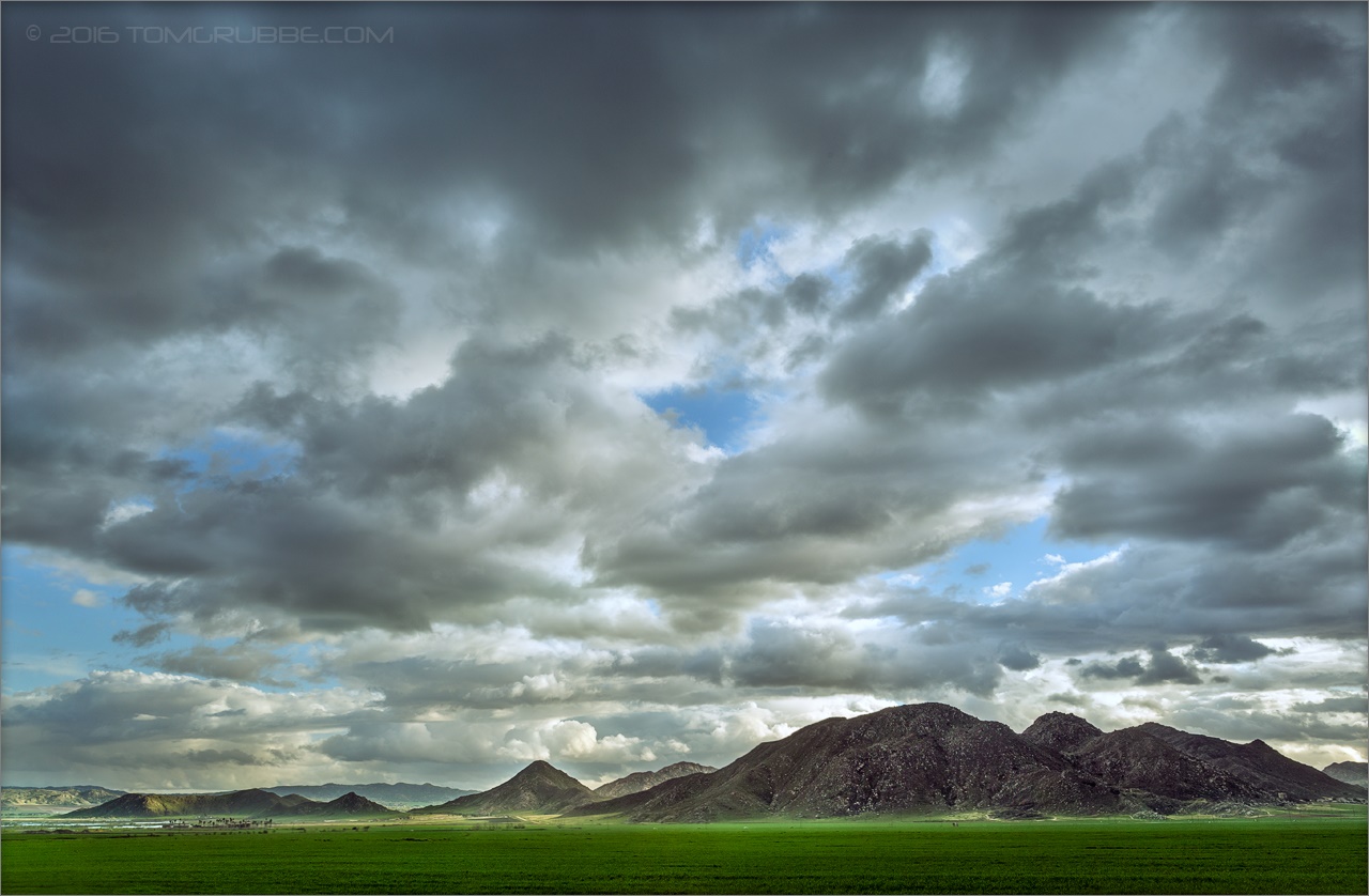
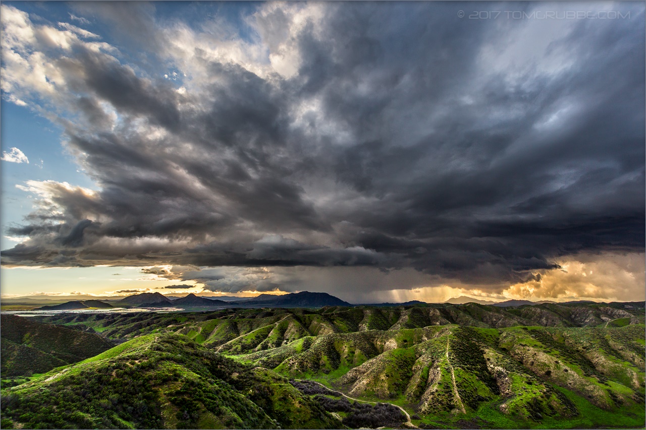
The calm after the storm.
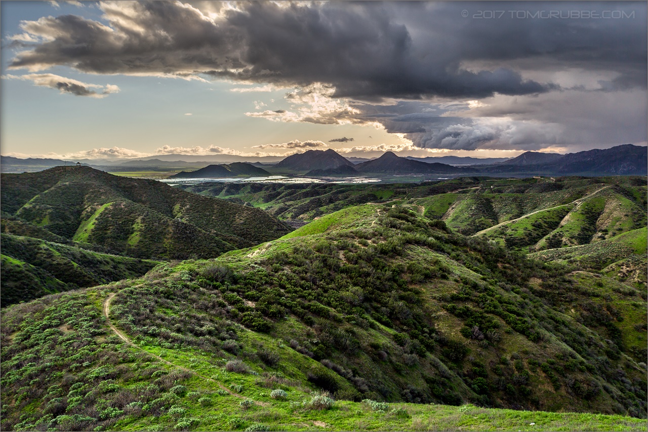
Spring Valley
My view for tonight running spot for The Laramie Project
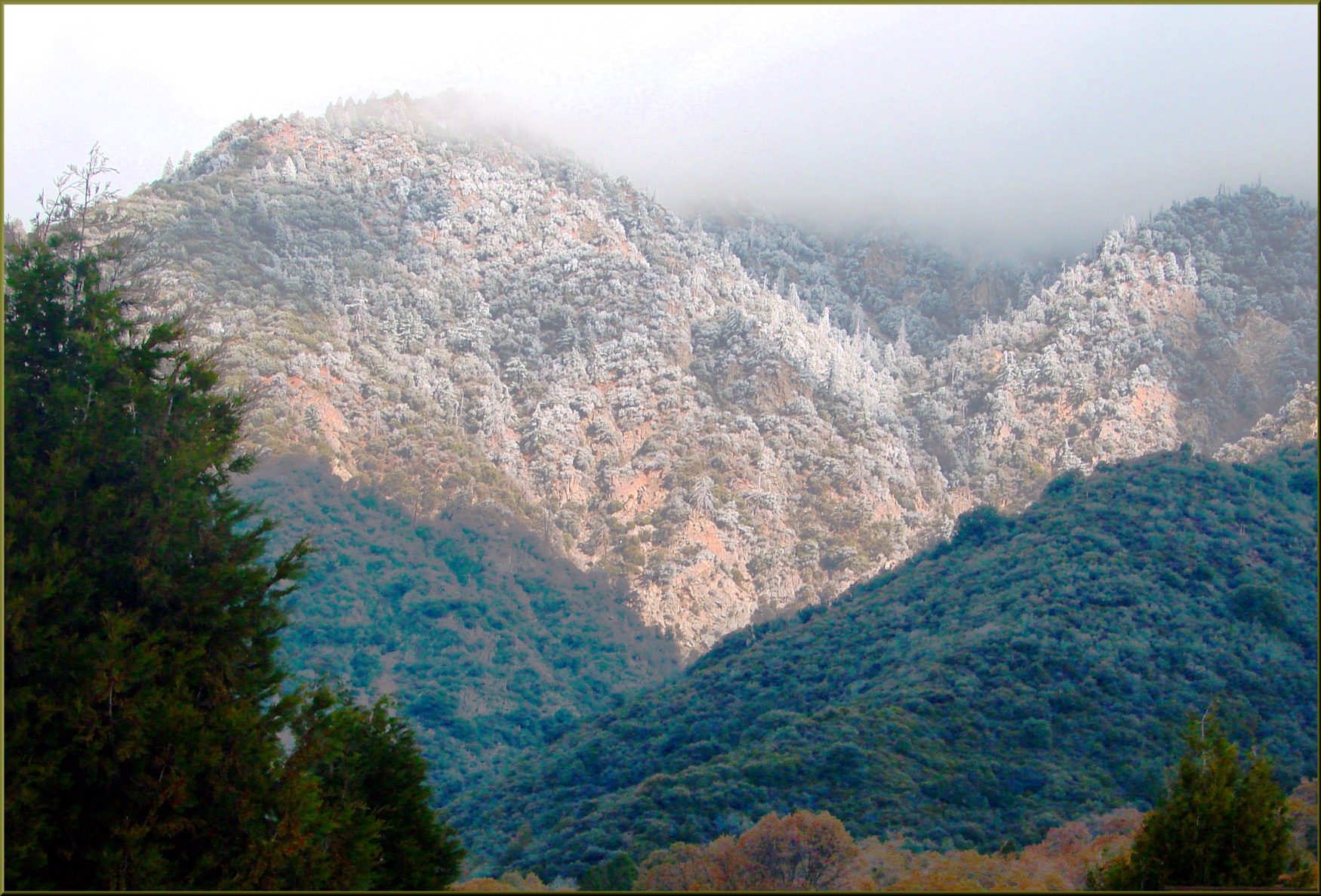
Sun on Oak Leaves, Oak Glen, CA 11-8-14

Sunset Valley I

View from Buff Rd LE

ATK 714E @ El Casco

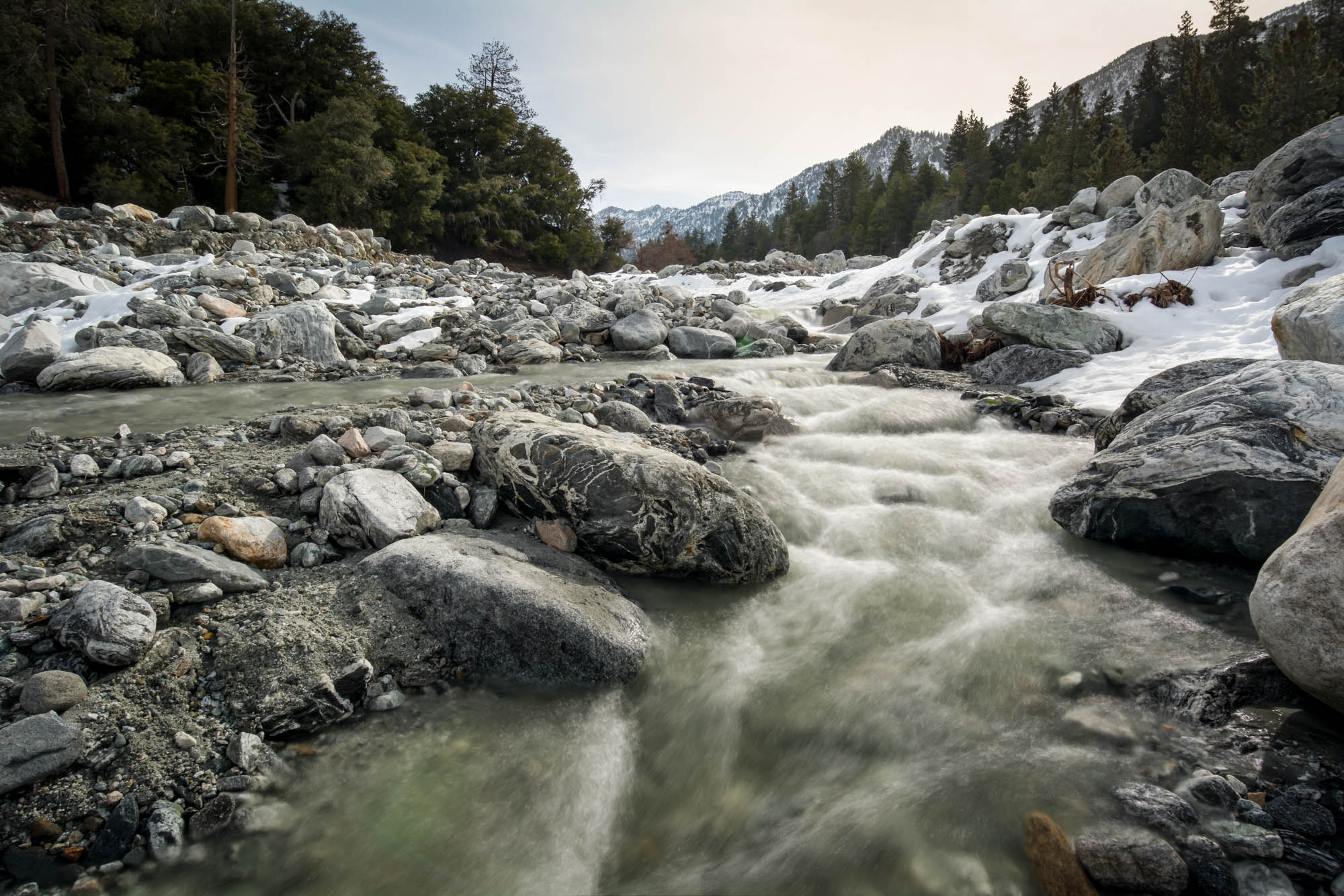
Big Falls Stream - Forest Falls, CA, USA
.

Back From the Desert

the view from here [7:52]

Not Too Shabby
.
Day 347/365: I know I'm going where the sun always shines (explored #328 on June 8, 2009)

sunny rear view

San Timoteo Nature Trail
Jack Rabbit Trail Road

River Rock - Forest Falls, CA, USA
Jack Rabbit Storm
Spring Trail

Yucaipa/Mentone Fire
Mill Creek in Forest Falls, CA, USA

Snow Creek

Hills from Jack Rabbit Trail

UP 7492
Reach - Forest Falls, CA, USA

UP 7939

Twilight Rocks and Stream

Fire under a Full Moon II
Bastille Day, 2014

Feelings of Aqua

Spring Valley

Mill Creek and Storm III
Topographic Map of Serape Dr, Yucaipa, CA, USA
Find elevation by address:

Places near Serape Dr, Yucaipa, CA, USA:
12959 Pinewood Ln
36251 Poplar Dr
13421 Village Rd
36106 Leah Ln
13418 Canyon Crest Rd
13535 Pamela Ct
36503 Cherrywood Dr
36210 Ginger Tree Trail
36539 Cherrywood Dr
35943 Rebecca Rd
12880 Grant St
563 E County Line Rd
931 Grant St
35566 Barbara Ln
35610 Mountain View St
35640 Oak Creek Dr
35579 Country Creek Dr
1100 Holmes St
12566 Fremont St
13323 Bryant St
Recent Searches:
- Elevation of Lampiasi St, Sarasota, FL, USA
- Elevation of Elwyn Dr, Roanoke Rapids, NC, USA
- Elevation of Congressional Dr, Stevensville, MD, USA
- Elevation of Bellview Rd, McLean, VA, USA
- Elevation of Stage Island Rd, Chatham, MA, USA
- Elevation of Shibuya Scramble Crossing, 21 Udagawacho, Shibuya City, Tokyo -, Japan
- Elevation of Jadagoniai, Kaunas District Municipality, Lithuania
- Elevation of Pagonija rock, Kranto 7-oji g. 8"N, Kaunas, Lithuania
- Elevation of Co Rd 87, Jamestown, CO, USA
- Elevation of Tenjo, Cundinamarca, Colombia