Elevation of Fremont St, Yucaipa, CA, USA
Location: United States > California > San Bernardino County > Yucaipa >
Longitude: -117.02748
Latitude: 34.0250773
Elevation: 840m / 2756feet
Barometric Pressure: 92KPa
Elevation Map:
Satellite Map:
Related Photos:

Not Too Shabby
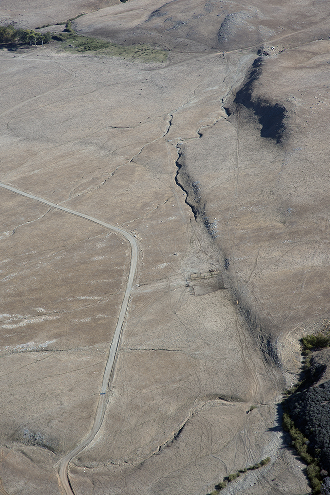
Aerial view of the San Andreas Fault, Burro Flats, Riverside County, California

View from Buff Rd LE

Bogart Park_0068

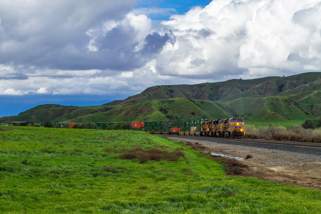
ATK 714E @ El Casco

Valley View

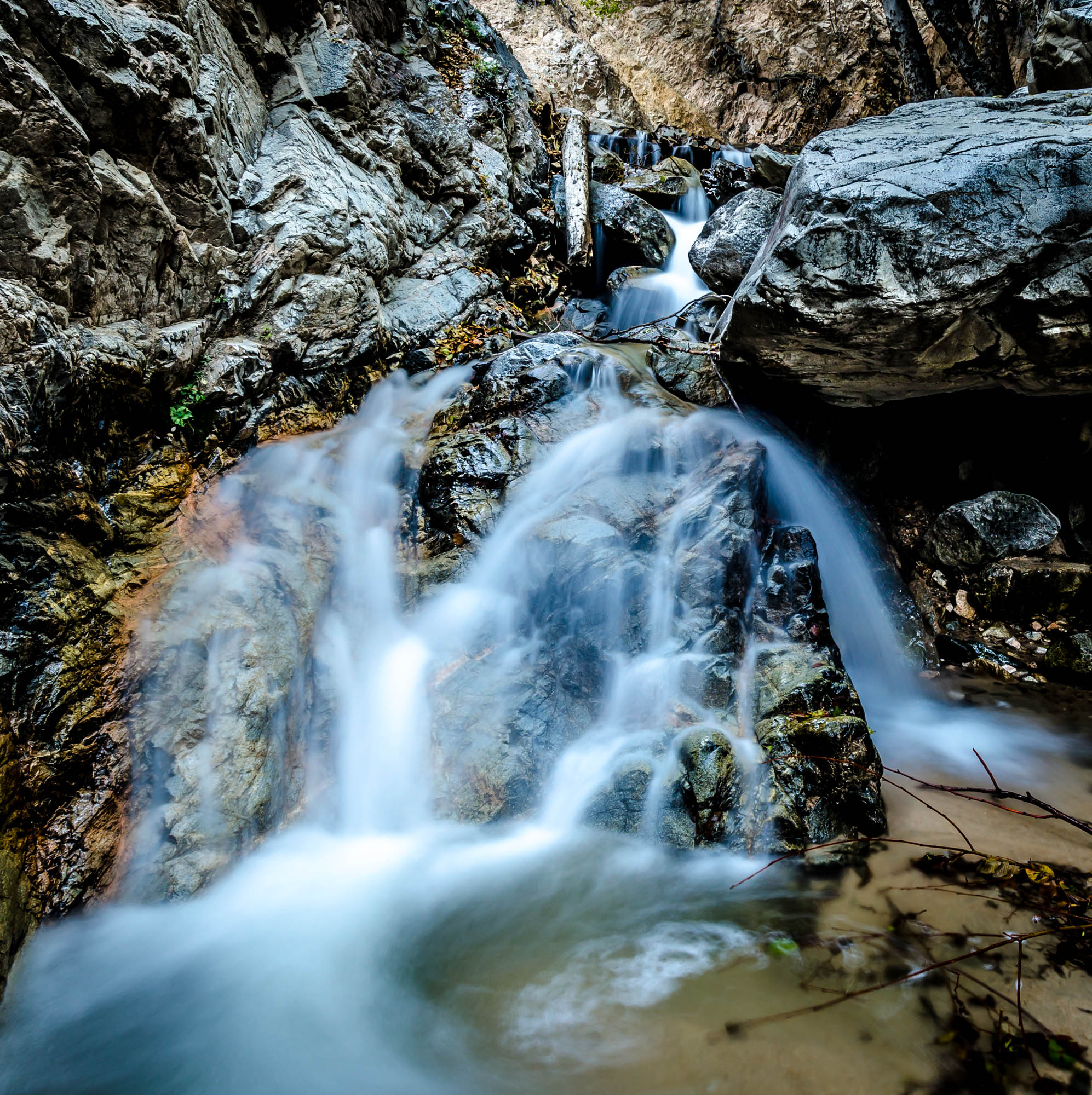
Big Falls Creek Long Exposure

Shooting Spot in the Hills

the view from here [7:52]

Seven Oaks Dam

sunny rear view

San Bernardino Valley

Bogart Park_0041

Winter Pond, Oak Glen, CA 1-19-13

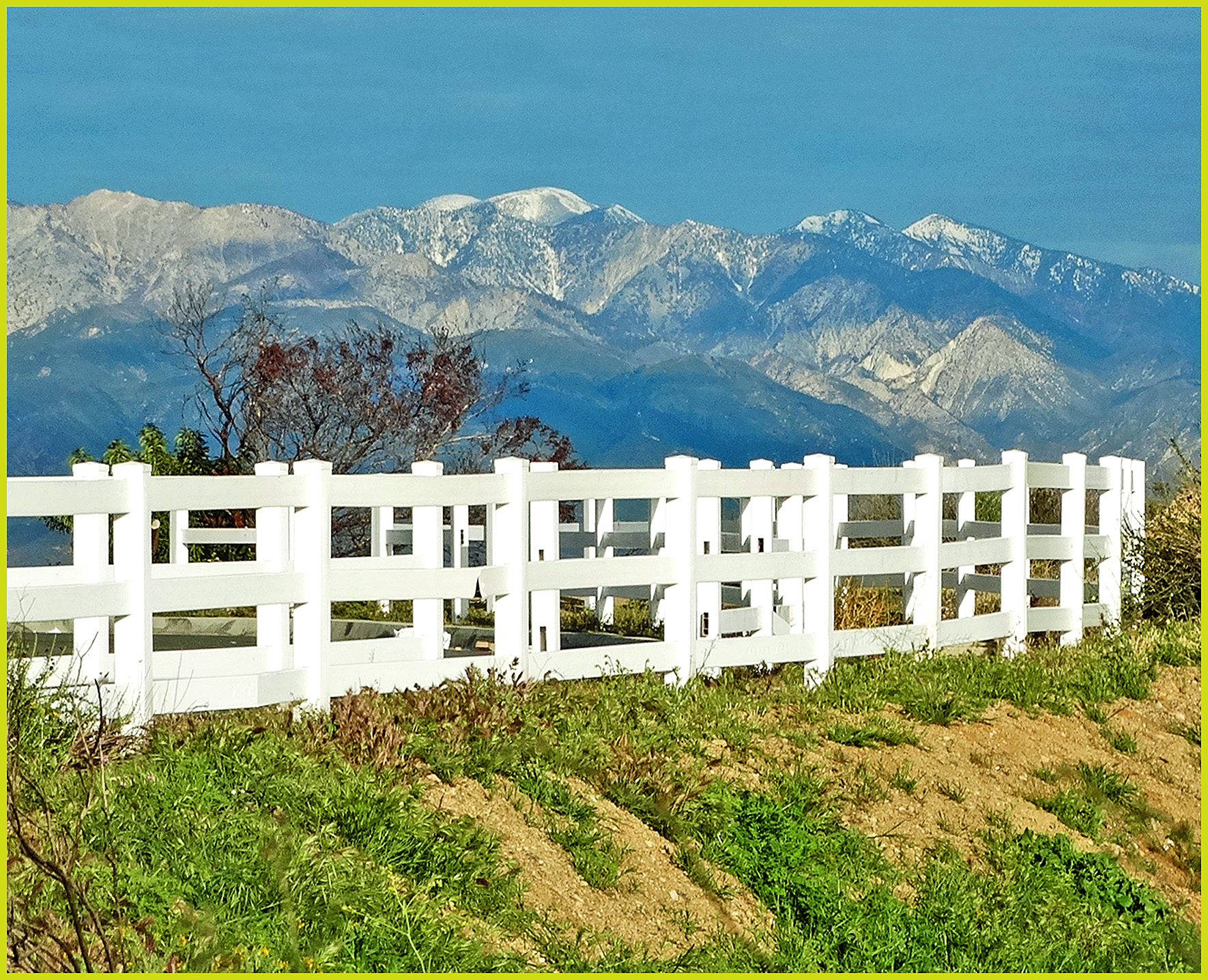
What a view this morning!

Original to these lands.

Bogart Park_0039

Live Oak Farms, Wagon 12-9-12

Bogart Park_0003

Mountains from Panorama Point 11-18-12

Swim Lane

Sunset Valley I

Mill Creek - Mentone, CA, USA

Mill Creek Canyon

Spring Valley

Garnet St. Bridge - Mentone, CA, USA
Big Falls Stream - Forest Falls, CA, USA
Lush Hills
Mt. Baldy from Panorama Pt 3-9-14f
Rock Train
Driving Through Moreno Valley

Tree of Many Colors, Oak Glen, CA 11-13

San Timoteo Nature Trail

Hills from Jack Rabbit Trail

Mill Creek and Storm III

UP 7492

Fire under a Full Moon II
Romy in the field

Bastille Day, 2014

Feelings of Aqua
Tree and Field
Topographic Map of Fremont St, Yucaipa, CA, USA
Find elevation by address:

Places near Fremont St, Yucaipa, CA, USA:
35610 Mountain View St
12387 Custer St
12777 Bryant St
12700 Bryant St
12296 Bryant St
35695 Crestview Dr
35566 Barbara Ln
12539 California St
35468 Beech Ave
13043 Orchid St
12866 California St
35280 Wildwood Canyon Rd
35580 Rancho Rd
12650 California St
35255 Beech Ave
12700 2nd St
35345 Date Ave
12700 2nd St
11665 Lennox St
11650 Dodd St
Recent Searches:
- Elevation of Scenic Shore Dr, Kingwood Area, TX, USA
- Elevation of W Prive Cir, Delray Beach, FL, USA
- Elevation of S Layton Cir W, Layton, UT, USA
- Elevation of F36W+3M, Mussoorie, Uttarakhand, India
- Elevation of Fairland Ave, Fairhope, AL, USA
- Elevation of Sunset Dr, Richmond, VA, USA
- Elevation of Grodna District, Hrodna Region, Belarus
- Elevation of Hrodna, Hrodna Region, Belarus
- Elevation of Sandia Derby Estates, Tijeras, NM, USA
- Elevation of 23 Sunrise View Ct, Tijeras, NM, USA