Elevation of Bryant St, Yucaipa, CA, USA
Location: United States > California > San Bernardino County > Yucaipa >
Longitude: -117.03450
Latitude: 34.0235491
Elevation: 806m / 2644feet
Barometric Pressure: 92KPa
Elevation Map:
Satellite Map:
Related Photos:

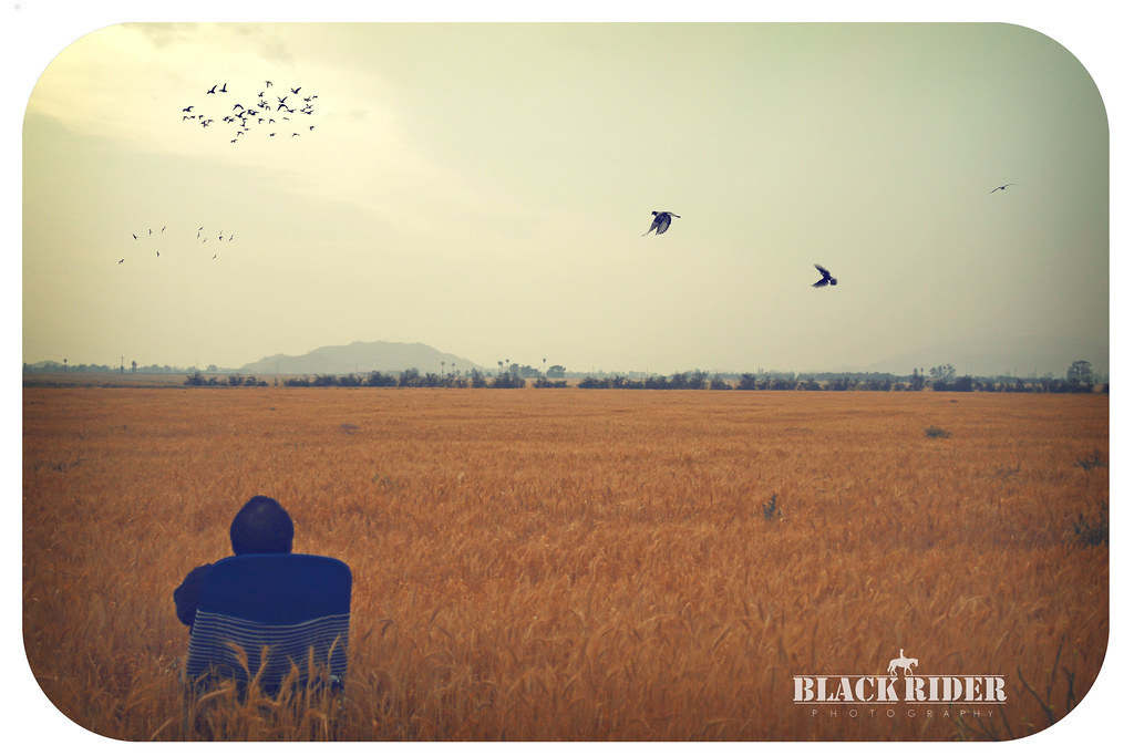
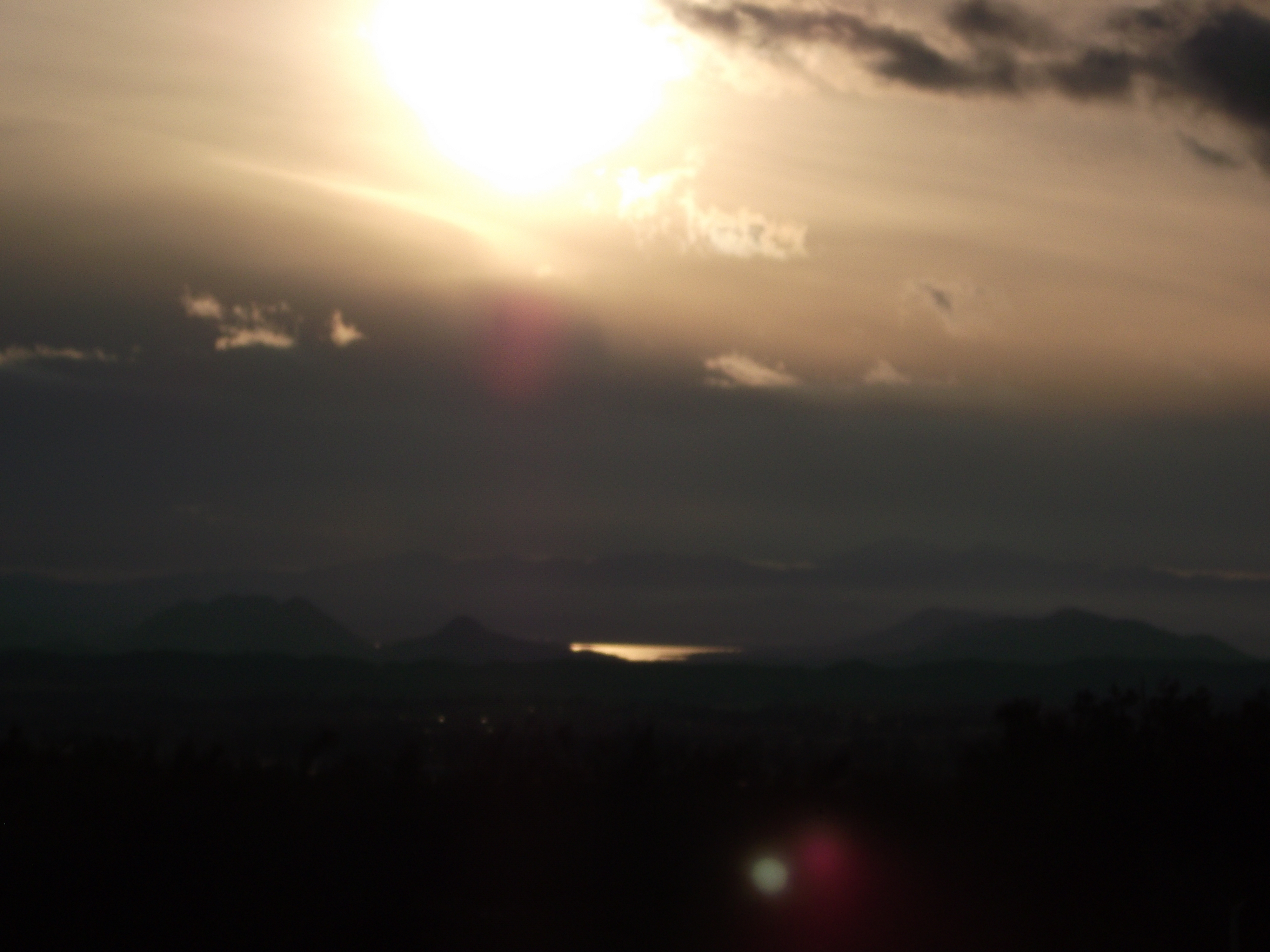
Sunset Valley I

View from Buff Rd LE

Big Falls Stream - Forest Falls, CA, USA

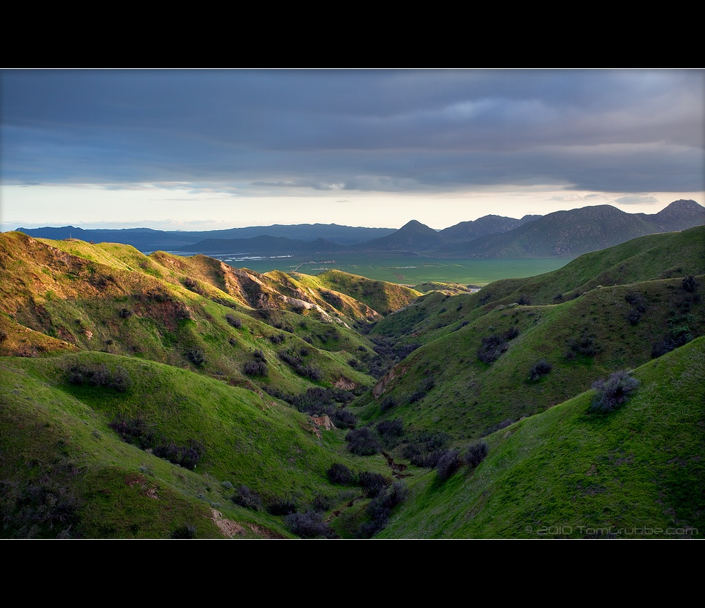
Valley View

ATK 714E @ El Casco

the view from here [7:52]

Not Too Shabby
Day 347/365: I know I'm going where the sun always shines (explored #328 on June 8, 2009)

sunny rear view

Big Falls Creek Long Exposure

Bogart Park_0068

"Fall has always been my favorite season

Live Oak Farms, Wagon 12-9-12

View from the patio. Good morning ya'll!!!

Living Large, Canyon View, Redlands 5-19-13
Oak Glen Harvest Time 11-10-12
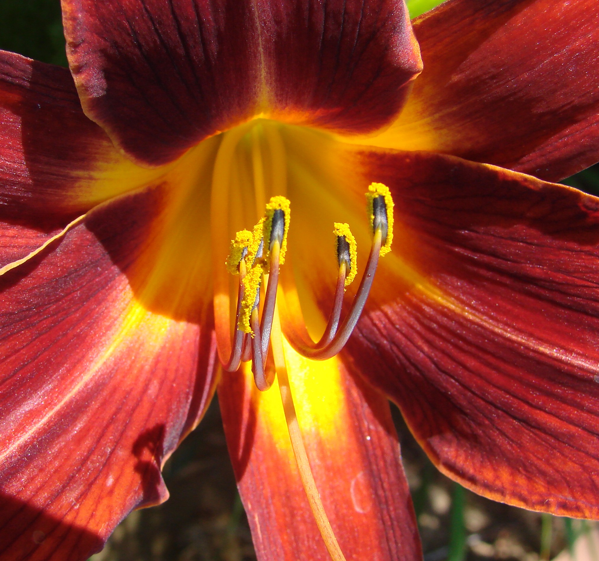
Daylillies (2) 7-7-12
Winding Road up Morton Peak
Bogart Park_0058

Bogart Park_0041
Valley View II

UP 7492

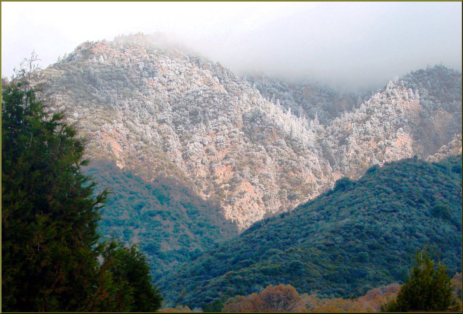
Hills from Jack Rabbit Trail

UP 7939

Twilight Rocks and Stream

Fire under a Full Moon II

Yucaipa/Mentone Fire

Feelings of Aqua

Spring Valley
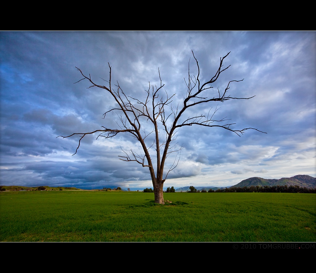
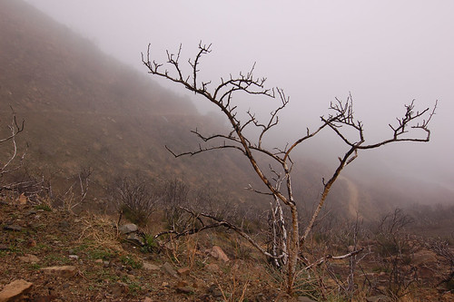
Tree and Field

Mill Creek and Storm III

Morey Mansion of Redlands
FF 010
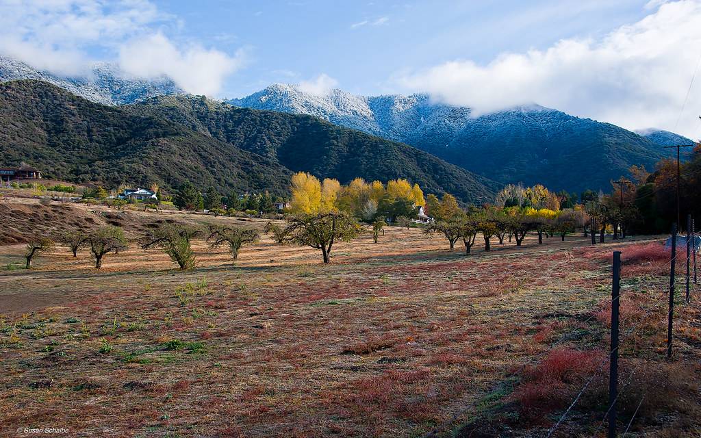
Autumn day in apple country

Sunset Valley II
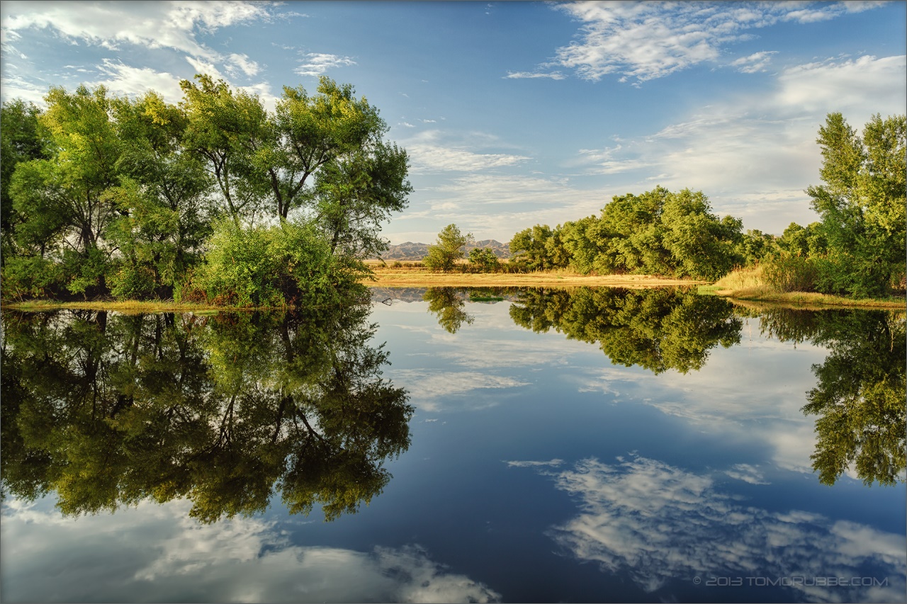
Summer Pond
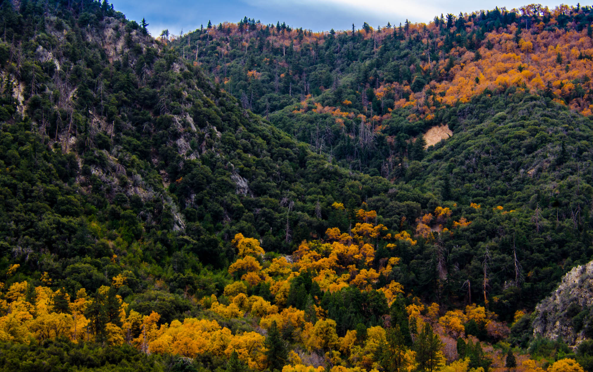
Orange and Green - San Bernardino National Forest, CA, USA

Social Gathering, Ford Park, Redlands, CA 8-12
Topographic Map of Bryant St, Yucaipa, CA, USA
Find elevation by address:

Places near Bryant St, Yucaipa, CA, USA:
12777 Bryant St
12539 California St
12650 California St
12866 California St
12387 Custer St
12296 Bryant St
13043 Orchid St
12566 Fremont St
35610 Mountain View St
35280 Wildwood Canyon Rd
12700 2nd St
12700 2nd St
35566 Barbara Ln
35255 Beech Ave
35468 Beech Ave
12902 Foxwood Dr
Yucaipa
35695 Crestview Dr
12406 3rd St
12008 2nd St
Recent Searches:
- Elevation of Jais St - Wadi Shehah - Ras al Khaimah - United Arab Emirates
- Elevation of Shawnee Avenue, Shawnee Ave, Easton, PA, USA
- Elevation of Scenic Shore Dr, Kingwood Area, TX, USA
- Elevation of W Prive Cir, Delray Beach, FL, USA
- Elevation of S Layton Cir W, Layton, UT, USA
- Elevation of F36W+3M, Mussoorie, Uttarakhand, India
- Elevation of Fairland Ave, Fairhope, AL, USA
- Elevation of Sunset Dr, Richmond, VA, USA
- Elevation of Grodna District, Hrodna Region, Belarus
- Elevation of Hrodna, Hrodna Region, Belarus